
Search for another town

Free U.S. delivery 7 to 10 days after you order
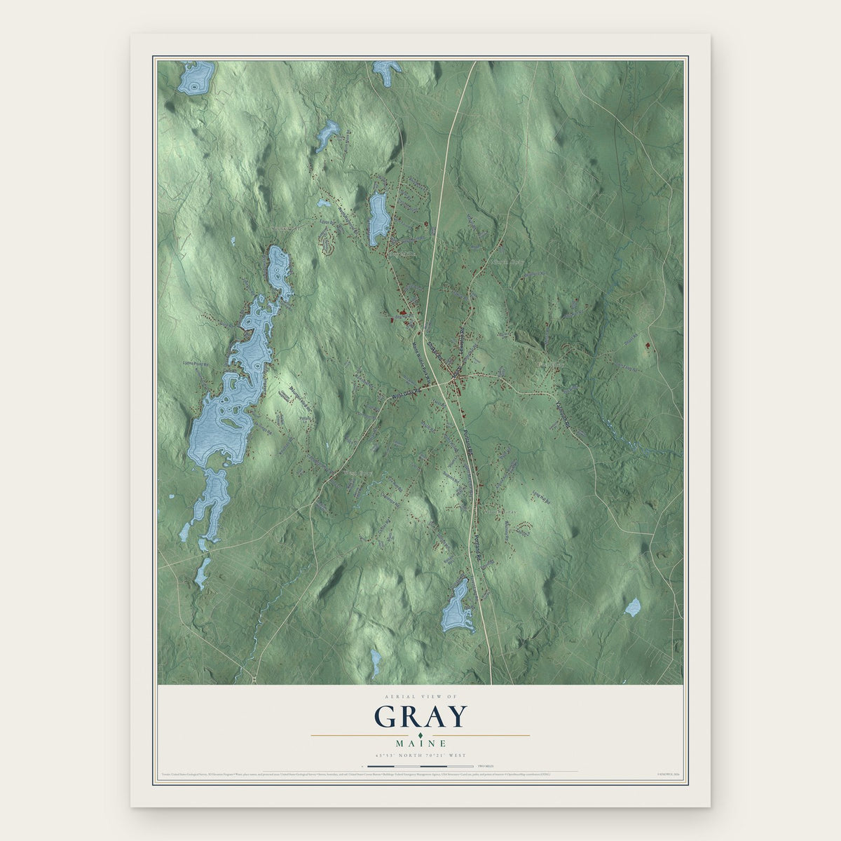
Gray, Maine Map Art
Building by building, with labeled streets and shaded relief.
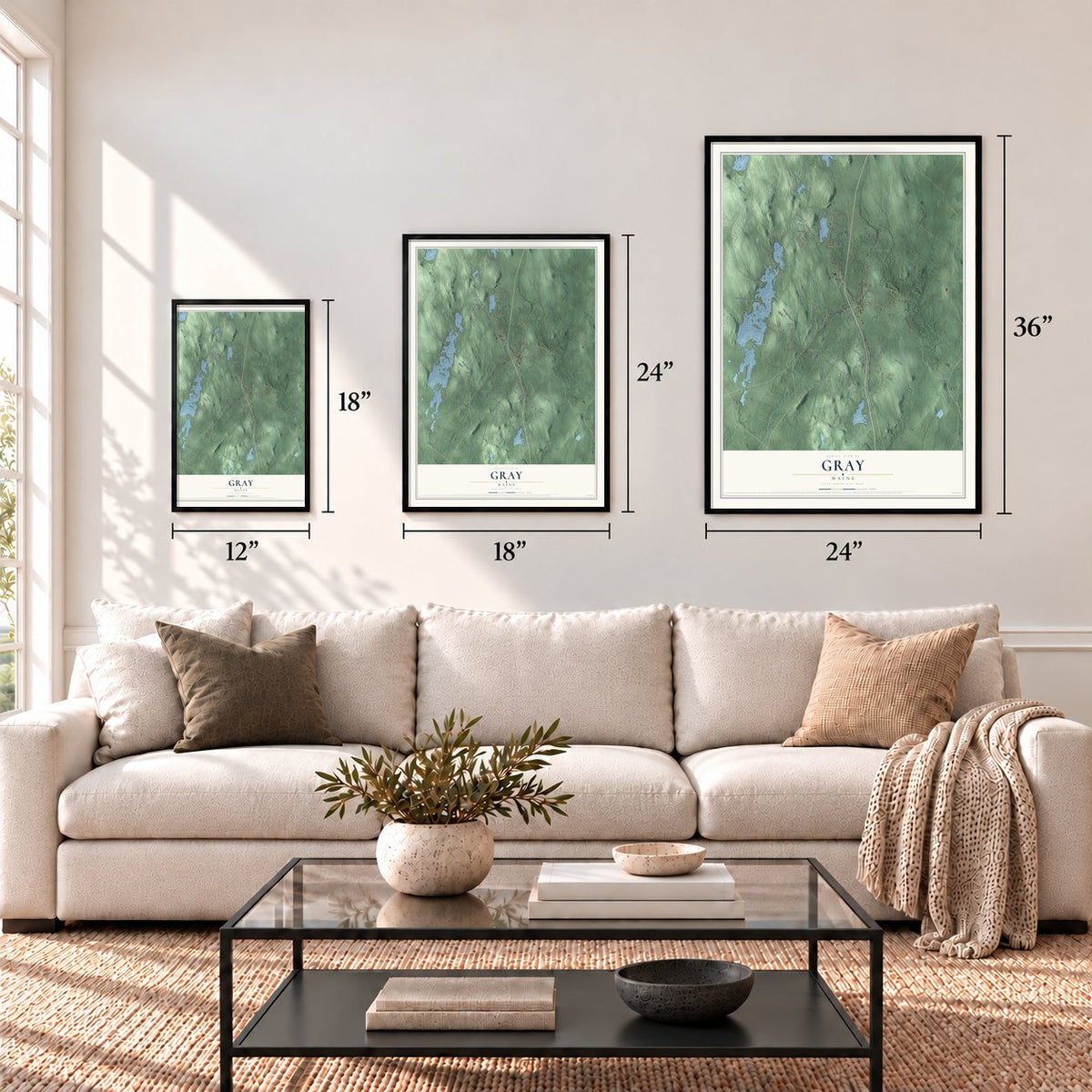
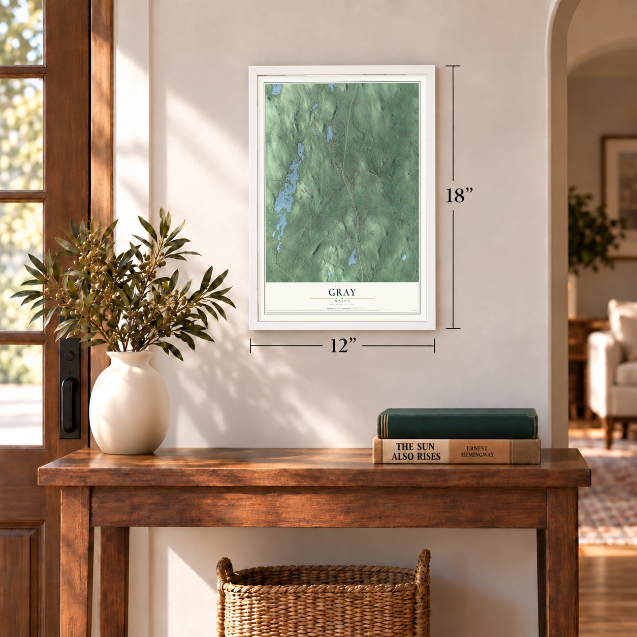
12" x 18" Archival Matte Print
A Map of Home. A Work of Art.
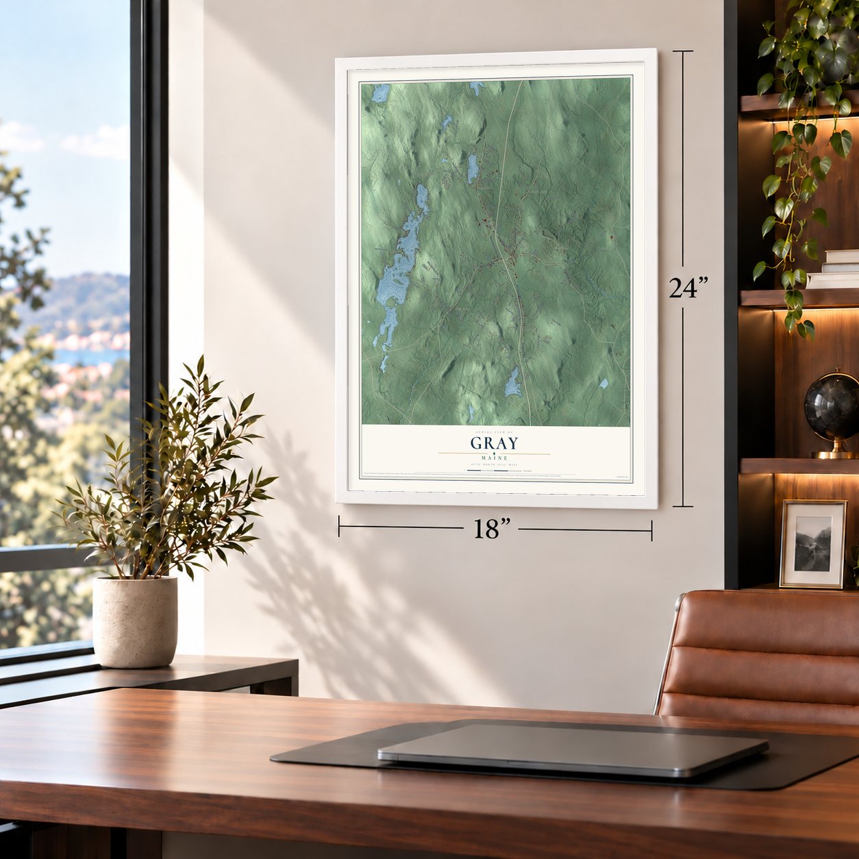
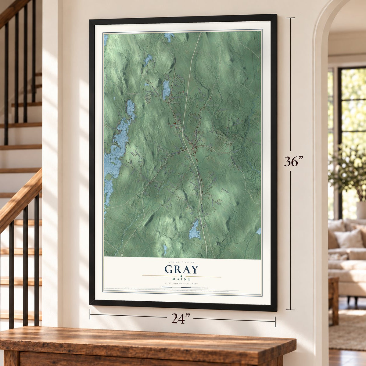
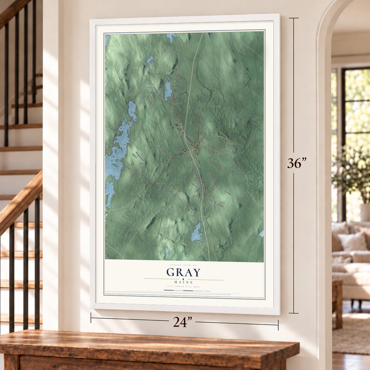
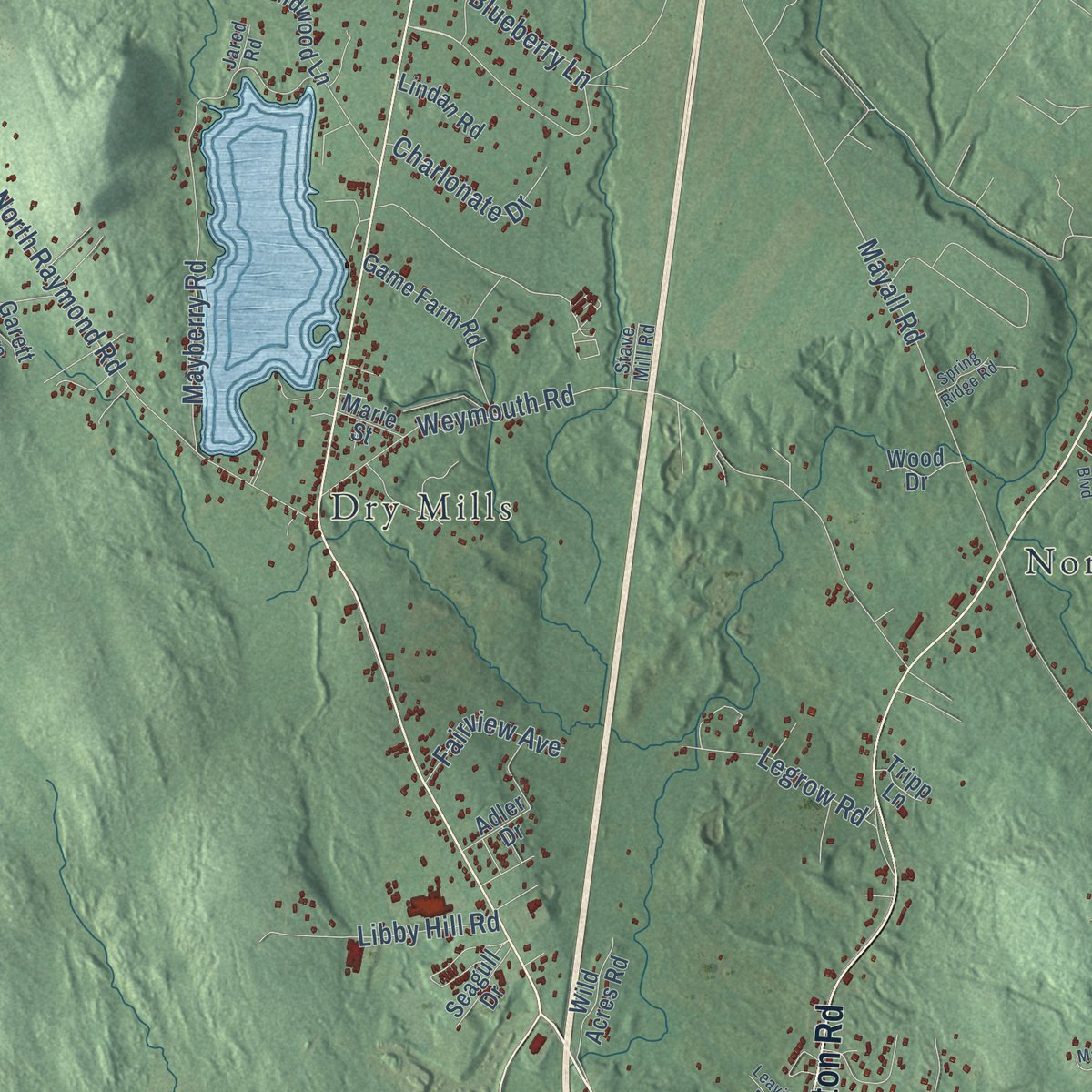
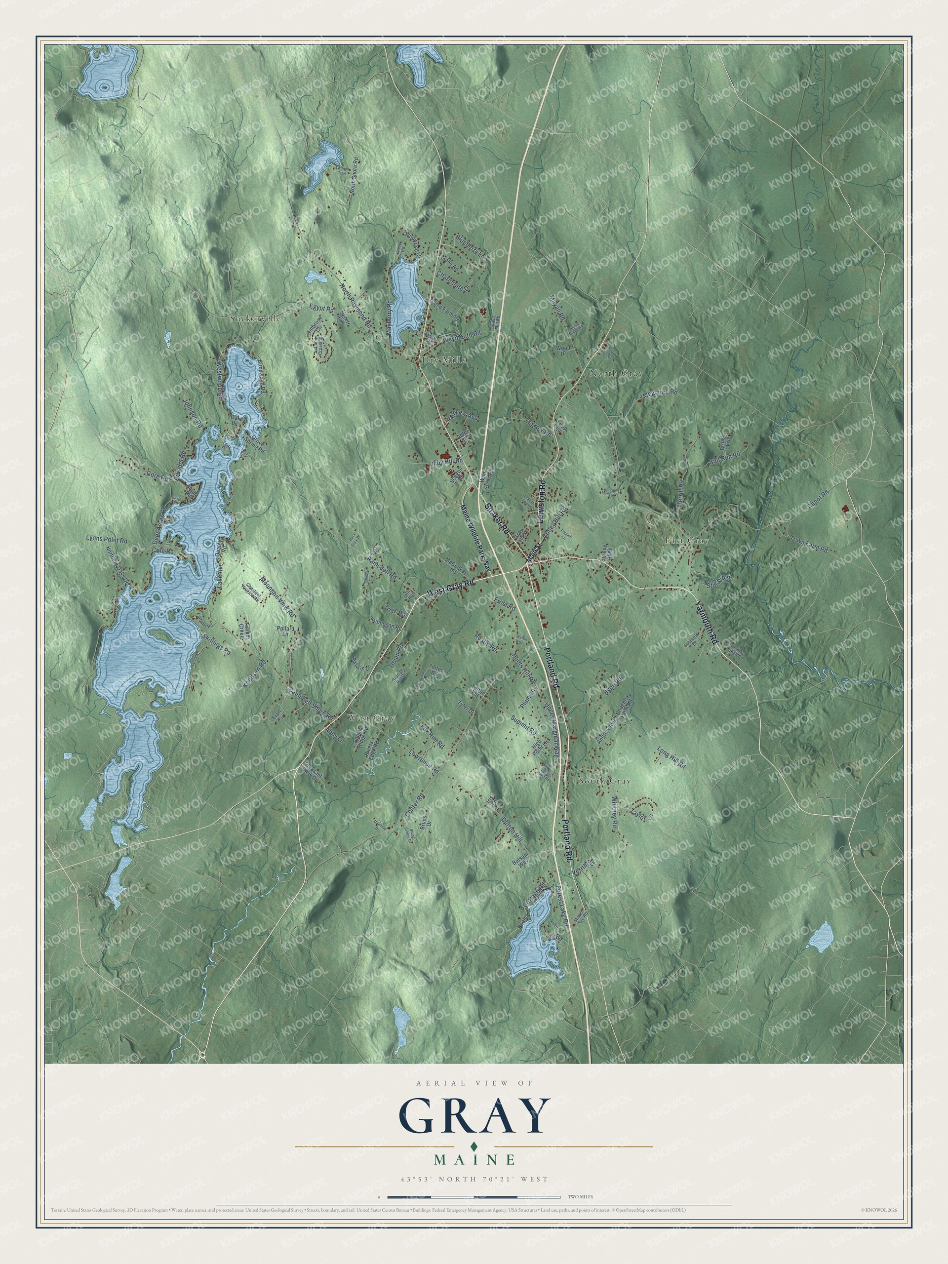
Explore Gray, Maine from a whole new perspective. Created using aerial imagery and detailed geographic data, this map captures Gray building by building, with labeled streets, familiar landmarks, and shaded topographical relief that highlights the natural contours of the landscape.
Combining modern data with the timeless character of a vintage atlas, this map is just as interesting up close as it is beautiful on the wall. Whether you grew up in Gray, spent memorable years there, or call it home today, this unique map is a great way to celebrate a place that means something to you. Zoom in on the preview to look for your street, and then order a print to put your memories on the wall.
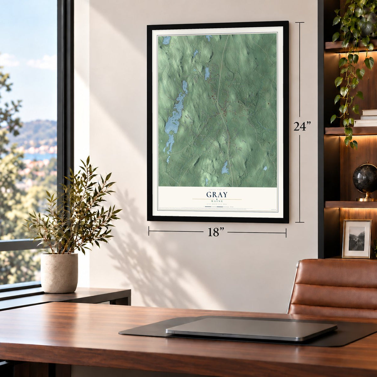
Three ways to hang it
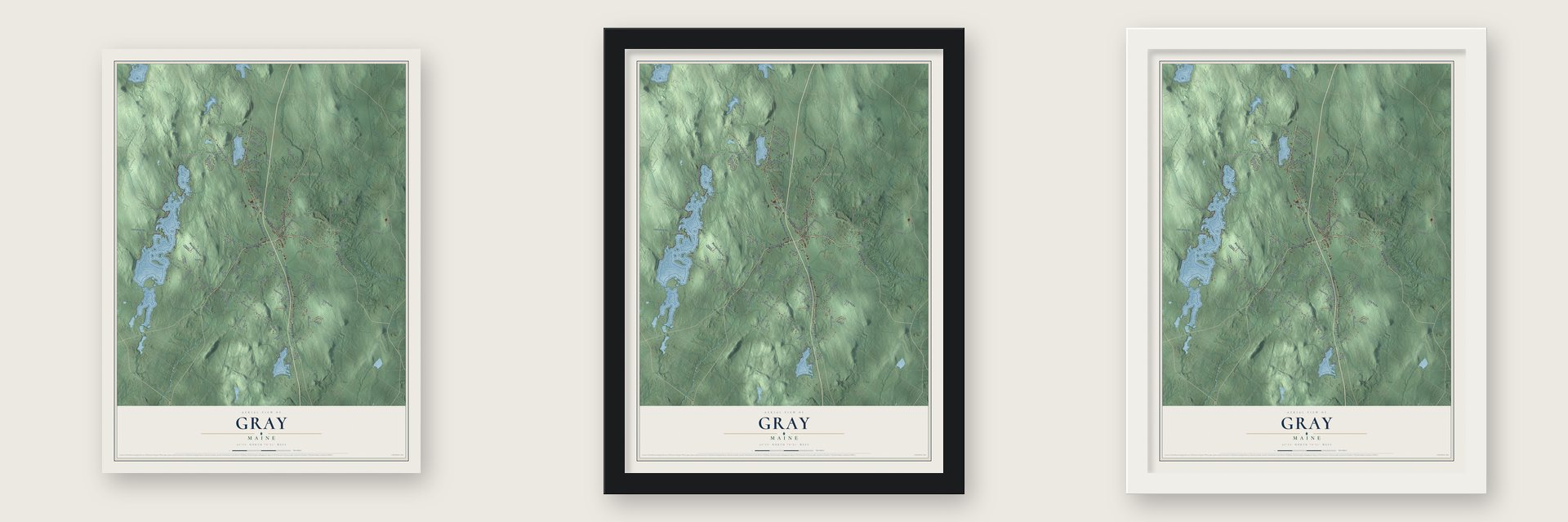
Unframed archival matte, a black wood frame or a white wood frame.
Up close
Geography Worth Displaying
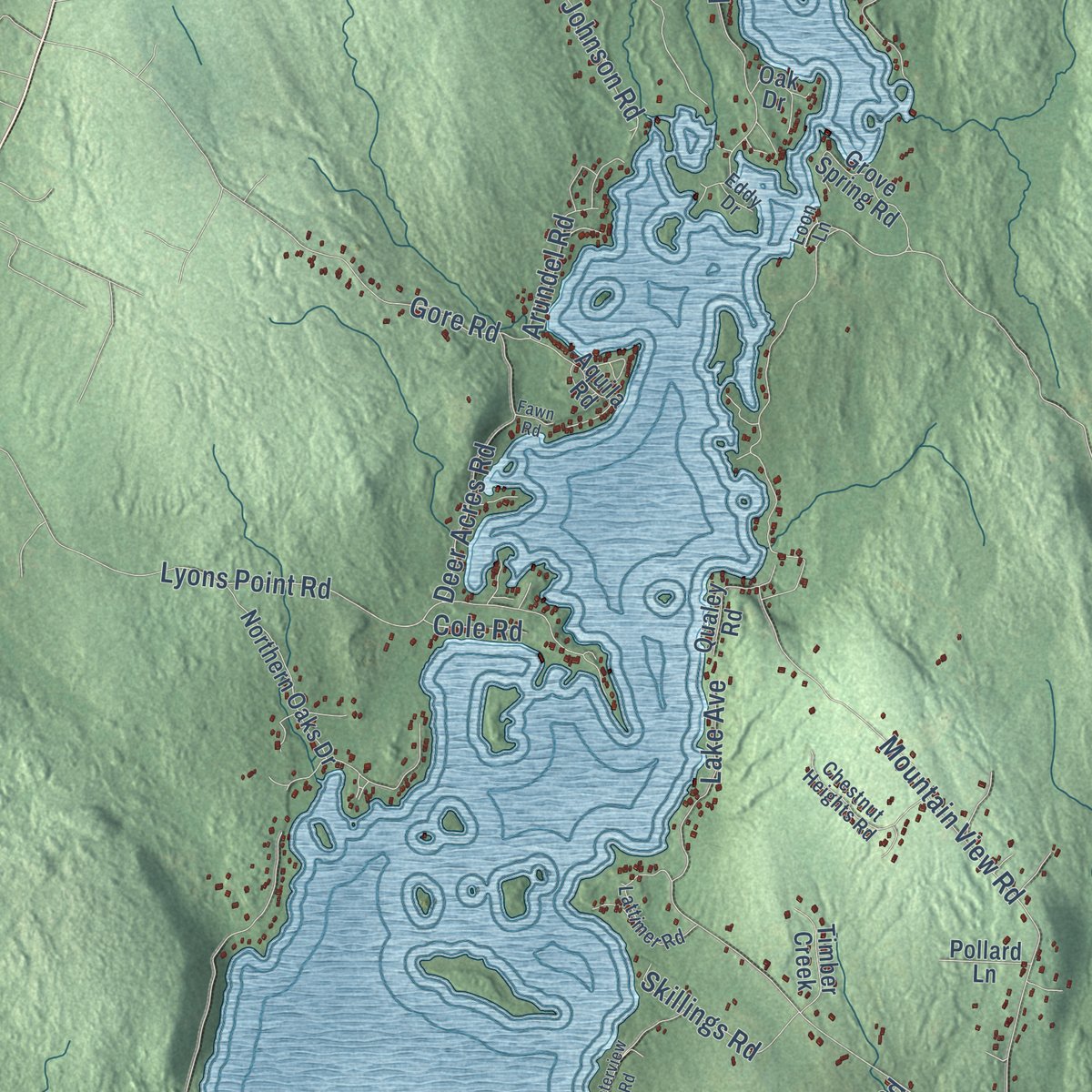
This map was created using accurate cartographic data and authoritative geographic sources, including the U.S. Geological Survey (USGS) and FEMA. The map brings together terrain, waterways, roads, and building detail. The majority of the streets are labeled, houses are accurately depicted, and the topography is derived from government sources. Combining local data with carefully composed color and shading leads to this beautifully detailed Gray artwork for your wall.
Rather than simply showing street outlines, we’ve included as many of the street names as we could reasonably fit on the map while keeping their names legible. Zoom in on the high resolution preview to see exactly what’s on the map. We truly set out to create a statement piece for anyone who loves Gray. So whether it’s for you, or a gift for someone you love, we hope this map of Gray brings back fond memories.
Explore the full map of Gray, Maine and read about the local places it shows.
Find your street
Names on the Gray map
Every name below is printed on this map. Look for your street, your school, the park where you played, or the pond down the road.
Places and landmarks7
- Dry Mills
- West Gray
- East Gray
- South Gray
- North Gray
- Suckerville
- Gray Park
Streets and roads126
- West Gray Road
- Portland Road
- Shaker Road
- Yarmouth Road
- Lewiston Road
- Center Road
- Mayall Road
- Ramsdell Road
- Depot Road
- North Raymond Road
- Campbell Shore Road
- Weymouth Road
- Mountain View Road
- Dutton Hill
- Mayberry Road
- Westwood Road
- Long Hill Road
- Lyons Point Road
- Egypt Road
- Merrill Road
- Whitney Road
- Blueberry Lane
- Lawrence Road
- Johnson Road
- Megquire Road
- Upper Marginal Way
- Knudsen Road
- Forest Lake Road
- Taylor Lane
- Hunts Hill Road
Show all 126 streets
- Cottage Road
- Summit Road
- Deer Acres Road
- Bull Run Road
- Town Farm Road
- Gore Road
- Colley Hill Road
- Libby Hill Road
- Skillings Road
- Legrow Road
- Arundel Road
- Lake Avenue
- Charlonate Drive
- Still Ridge
- Rustic Road
- Fox Run Road
- Fairview Avenue
- Hyde Road
- Verrill Road
- Frost Road
- Delan Road
- Plum Lane
- Cole Road
- Abby Lane
- Old Road
- Main Street
- Maine Wildlife Park Way
- North Shore Road
- Birchwood Road
- Northern Oaks Drive
- Road 5
- Totten Road
- Game Farm Road
- Fran Circle
- Wild Acres Road
- Grove Spring Road
- McConkey Road
- Pleasant View Drive
- Aquila Road
- Rivers Edge Road
- Andrew Avenue
- Ambrose Circle
- Quinegan Road
- Wildwood Lane
- Poplar Ridge Road
- Qualey Road
- Bruns Drive
- Maggie Lane
- Timber Creek
- Frede Way
- Balsam Way
- Doughty Farm Road
- High Point Lane
- Lindan Road
- Seagull Drive
- Broad Parkway
- Pollard Lane
- Wood Drive
- Tyler Drive
- Adler Drive
- Brandy Alley
- Marie Street
- Totton Road
- Garett Avenue
- Tripp Lane
- Oak Drive
- Iris Lane
- Chestnut Heights Road
- Granite Hill Drive
- Eastfield Drive
- Autumn Crossing
- Lattimer Road
- Valley High Road
- Robin
- Stave Mill Road
- Mile 57 Svc Road
- Loon Lane
- Jared Road
- Eddy Drive
- Dons Run
- Waterview Road
- Marshview Drive
- Hemlock Lane
- Pennell Lane
- Stone Bridge Drive
- Eagles Nest Road
- Leavitt Road
- Magnolia Drive
- Twilight Trail
- Balfour Boulevard
- Buds Lane
- Spring Ridge Road
- Hayfield Drive
- Hat Trick Drive
- Keren Drive
- Fawn Road
Names are listed as they appear on the printed map. Zoom into the product photos to find them.
About Gray, Maine
Gray is a town of 8,269 people in Cumberland County, about halfway between Portland and Lewiston. On March 27, 1736, the Massachusetts General Court granted this land to a group of Bostonians, who laid out the township and cut roads in 1737. The first families moved in during the spring of 1738, but the French and Indian Wars soon reached them.
In the spring of 1745 Native raiders killed the settlers' cattle and burned their meetinghouse and every home, and the people escaped to other towns. Families returned in 1751, only to be driven out again in May 1755. That year they built Fort Gray, a blockhouse 50 feet by 25 feet inside a palisade 100 feet by 75 feet. The place went by Boston, New Boston and New Town from about 1756, and on June 19, 1778, it was incorporated as Gray, named for Thomas Gray, one of its proprietors.
- A smuggled woolen millIn 1791 Samuel Mayall opened a woolen mill powered by Collyer Brook, the first successful one of its kind in North America. British guilds had banned such work in the colonies, so he hid the machinery plans in bales of trade cloth to get them out of England. The guilds tried to kill him with a hat full of poisoned pins and a box rigged with loaded pistols, but he grew suspicious and opened neither.
- The Mayall daughters' Lower MillWhen Samuel Mayall died in 1831, his daughters Mary and Phanela took charge of the mills, and in 1834 they built the Lower Mill. The family owned the business until about 1879, and it shut down in 1902. Its ruins still stand, and visitors can walk through them at Mayall Mills State Historic Site.
- The grave of a StrangerDuring the Civil War the body of a Confederate soldier reached Gray by mistake. The Ladies of Gray decided to keep him and give him a proper burial, and they paid for a headstone that reads only "Stranger." Gray had sent more of its men to the war, for its size, than any other town in Maine, and more than 178 Union soldiers lie near him in the Gray Village Cemetery.
- Twelve sawmillsBesides its farms and quarries, Gray once ran a gristmill, 12 sawmills and a tannery. It also had granite and marble works, a maker of carriages and sleighs, and a shuttle maker.
Keep exploring Maine
Gray is one of 536 Maine towns we've mapped. Every dot on the map is a print of its own.
The search covers every state, Maine first.
Near Gray
Order 2 or more town maps and save 10%. Shown in the size and finish you picked above, so they hang as a set.
- Raymond 12" x 18" / Archival Matte Print $39.99
- New Gloucester 12" x 18" / Archival Matte Print $39.99
- North Windham 12" x 18" / Archival Matte Print $39.99
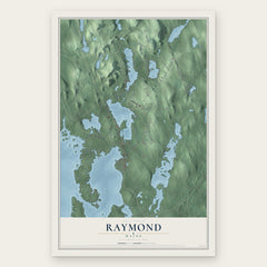

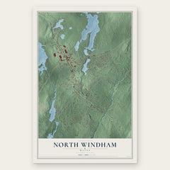
More maps nearby: North Yarmouth, Windham, Casco, Frye Island and Pownal.
The art of mapping a place
How This Map Was Made
Real places. Remarkable detail. Discover the layers that turn geographic data into a map of home.

The view from above
Aerial imagery reveals the character of the land: woodland, open fields, and the patterns of a place.

The shape of the land
Elevation data brings hills, valleys, and subtle changes in the landscape into view.

The details of home
Roads, waterways, and building footprints come together to make the map feel unmistakably local.

Geography becomes art
Considered color, shading, and typography bring the layers together in a map made for your wall.


Process illustrated with Mendon, Massachusetts. Aerial imagery: USDA NAIP. Terrain: USGS 3D Elevation Program. Map details and finished artwork: KNOWOL.
The Details
About This Print
Choose an archival matte print, or a black or white Ayous wood frame. The archival matte print is unframed.
Select your size and finish above to see the matching product image and price.
Materials & Craftsmanship
A contemporary map with the character of a classic atlas, printed on archival matte paper. Optional frames are made from Ayous wood.
Your printed map does not include the watermark shown in the full-map preview.
Shipping & Delivery
Free shipping within the United States. Every print is made to order in the USA.
Buying a gift? Add a note in your cart and we'll include it. We never put prices in the package.
Prints ship within 2 to 3 business days. Allow 7 to 10 days total from ordering for delivery. Timing may vary during holidays or periods of high order volume.
Read our shipping policy.
Returns and damaged prints
Each print is made to order. Change-of-mind refunds are not available after production.
If your print arrives damaged, misprinted or incorrect, contact support@knowol.com within 30 days of receiving it. Include your order number, photos and a description of the issue.
Read our full refund and replacement policy. For questions about your order, email support@knowol.com.