
Search for another town
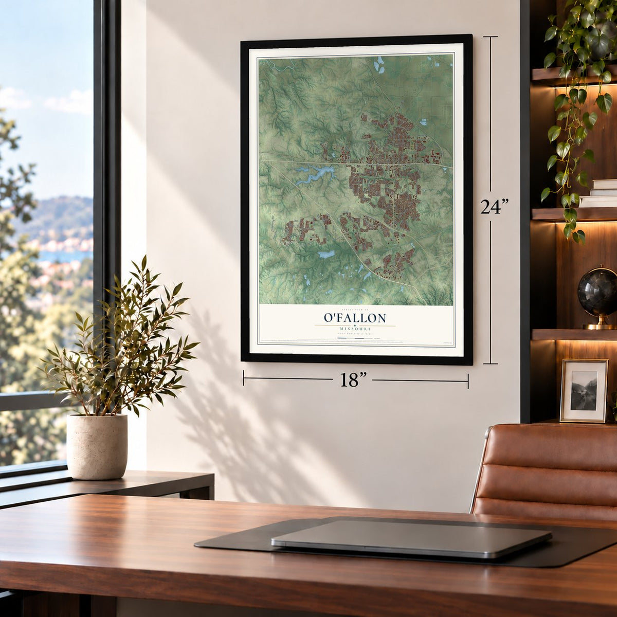
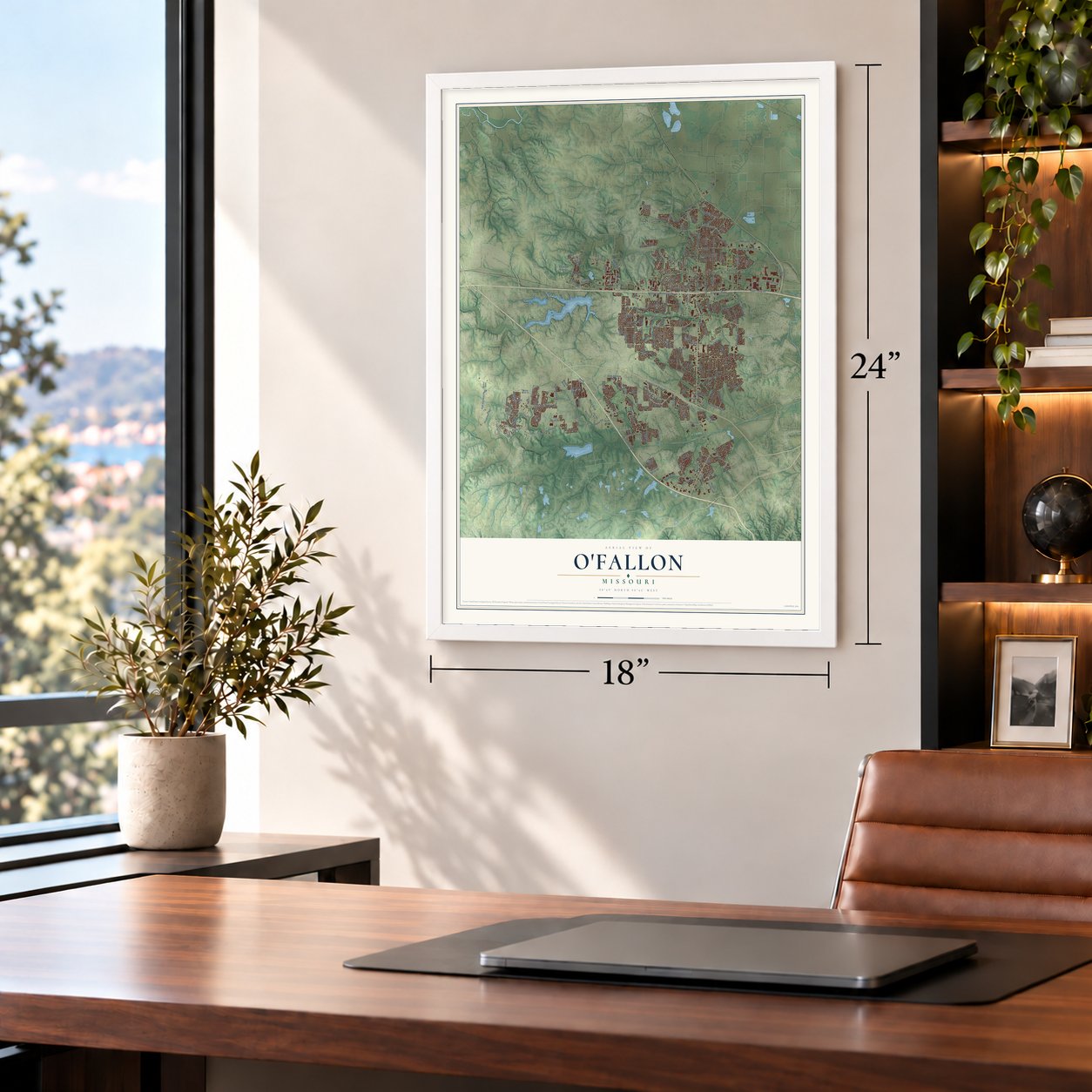
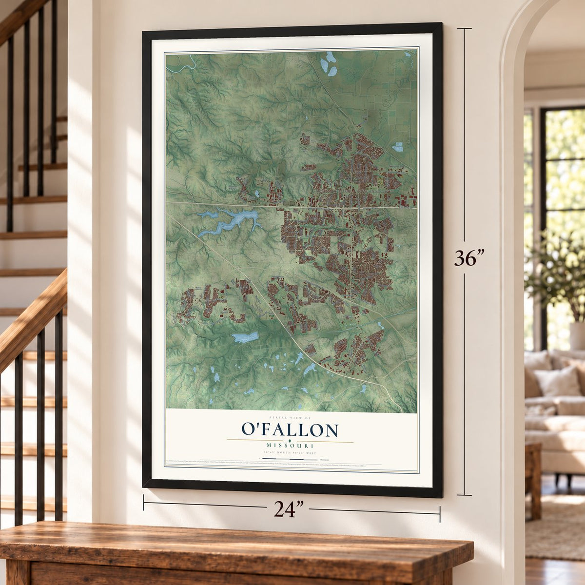
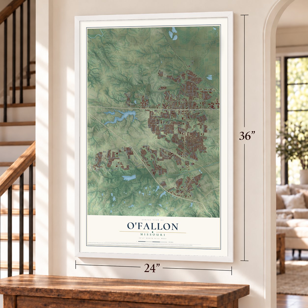
Free U.S. delivery 7 to 10 days after you order
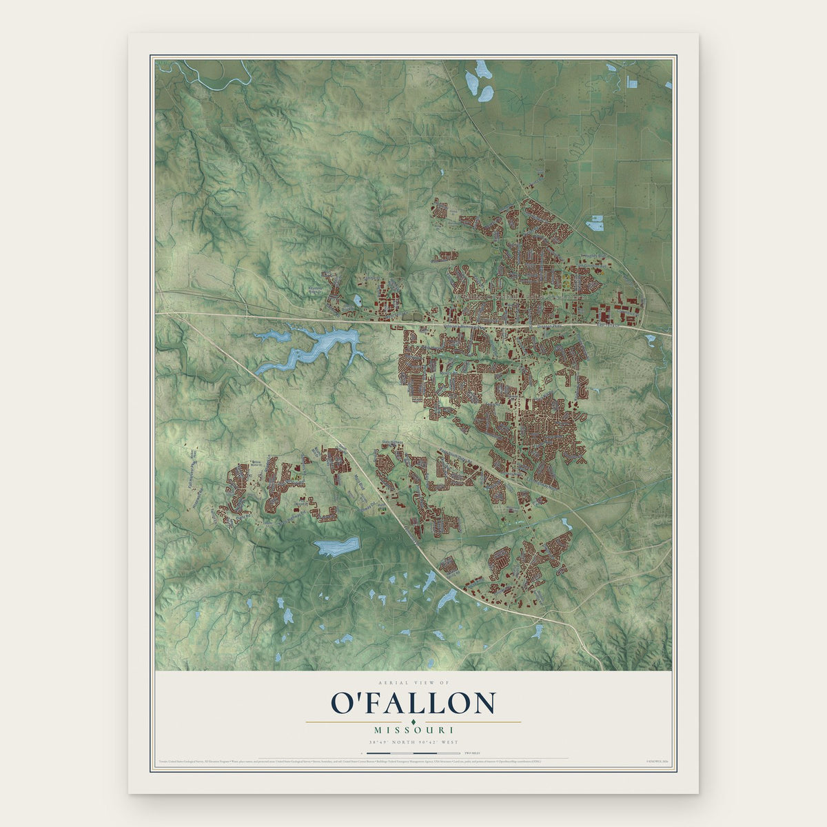
O'Fallon, Missouri Map Art
Building by building, with labeled streets and shaded relief.
12" x 18" Archival Matte Print
A Map of Home. A Work of Art.
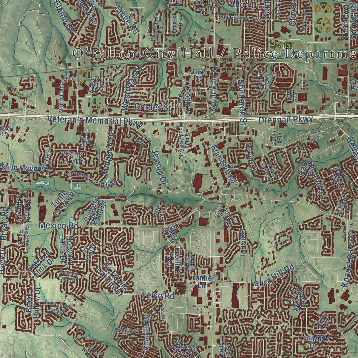
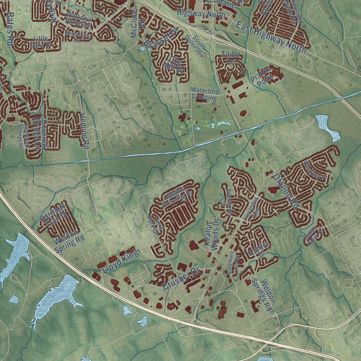
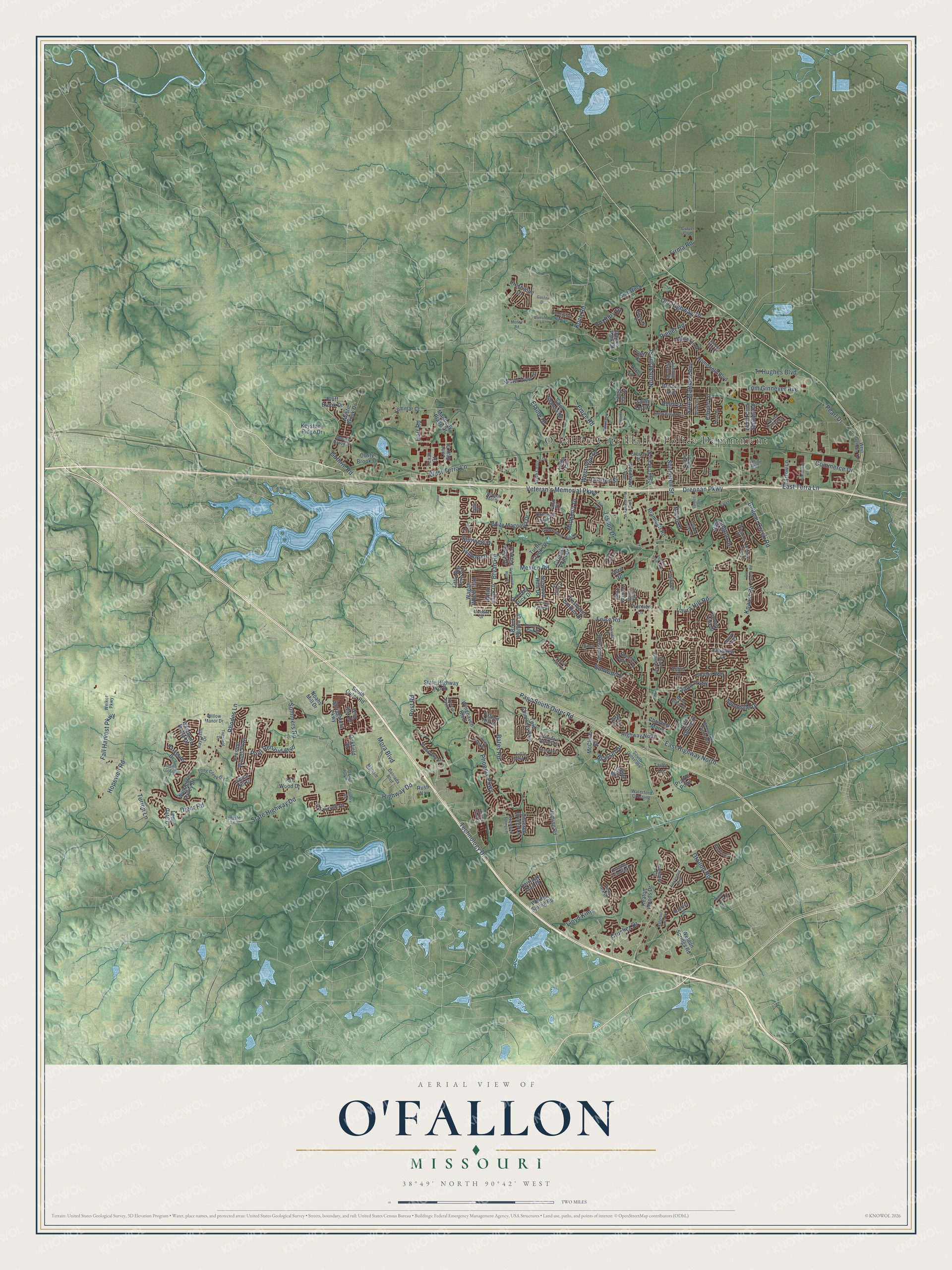
Explore O'Fallon, Missouri from a whole new perspective. Created using aerial imagery and detailed geographic data, this map captures O'Fallon building by building, with labeled streets, familiar landmarks, and shaded topographical relief that highlights the natural contours of the landscape.
Combining modern data with the timeless character of a vintage atlas, this map is just as interesting up close as it is beautiful on the wall. Whether you grew up in O'Fallon, spent memorable years there, or call it home today, this unique map is a great way to celebrate a place that means something to you. Zoom in on the preview to look for your street, and then order a print to put your memories on the wall.
Three ways to hang it
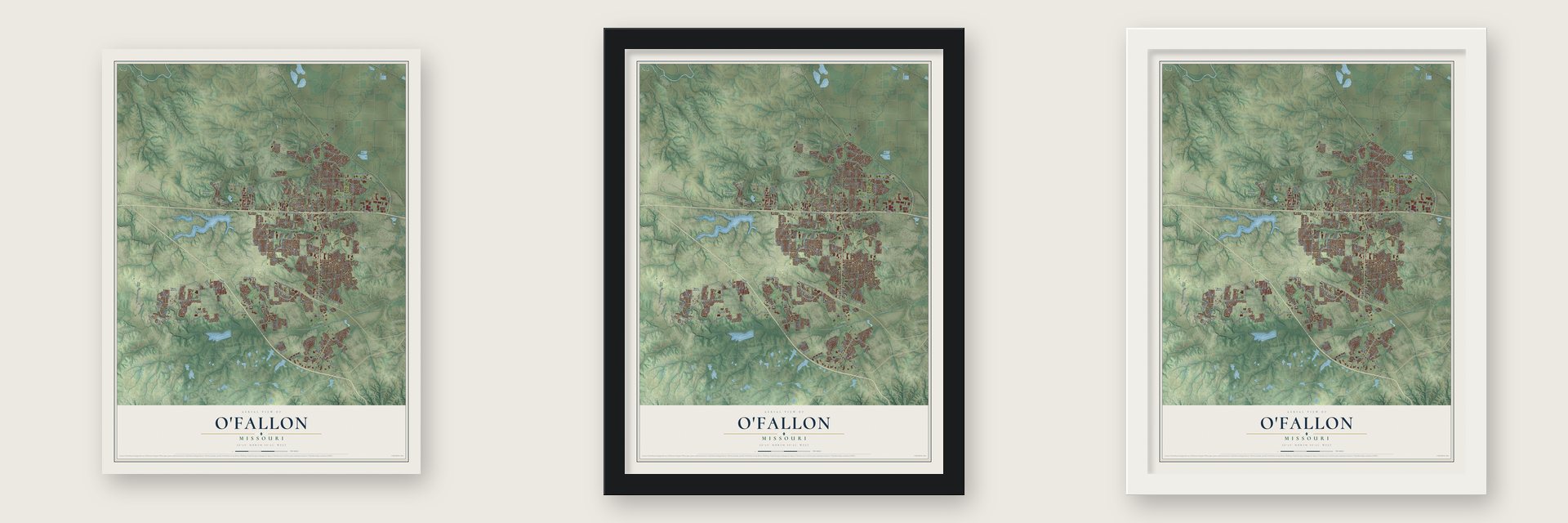
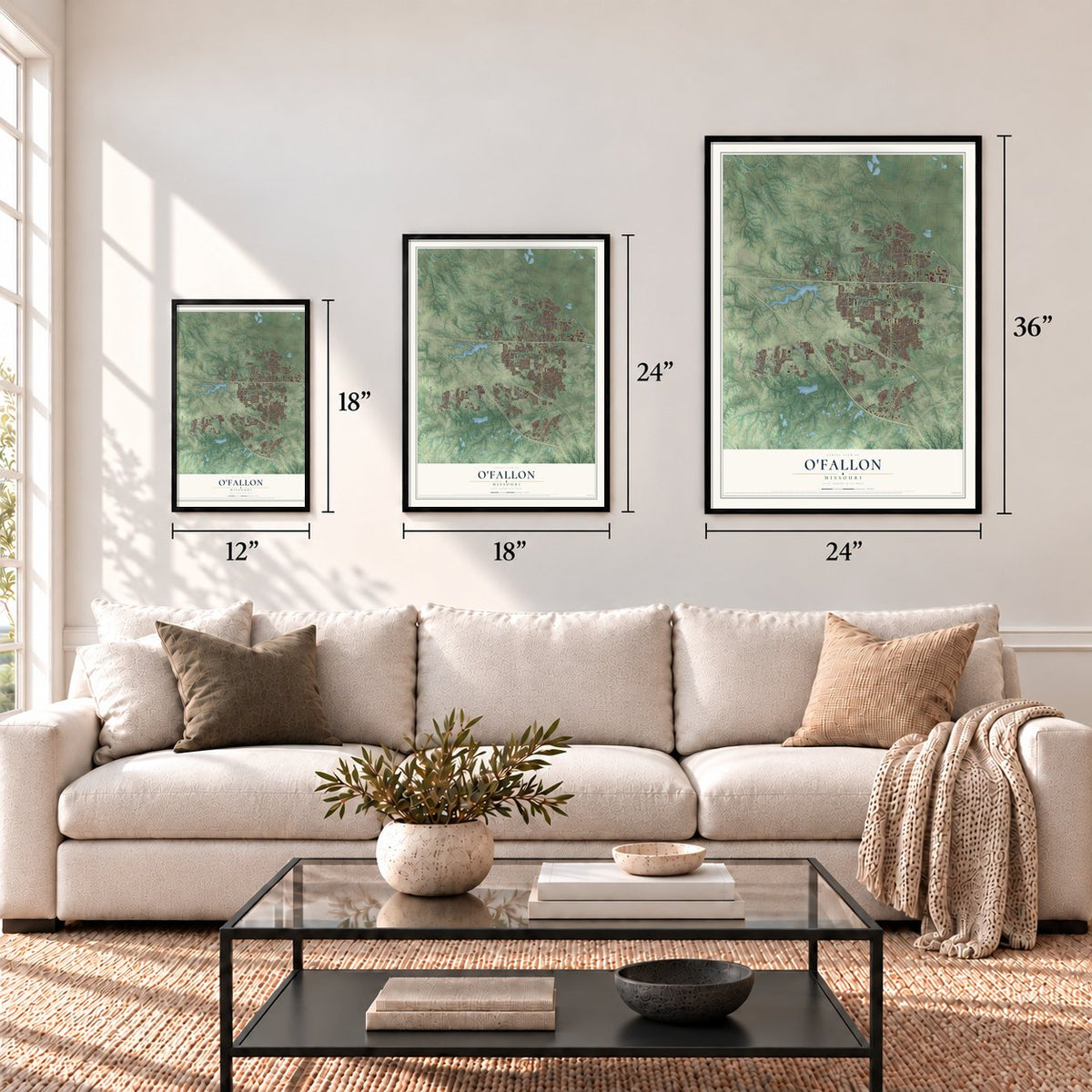
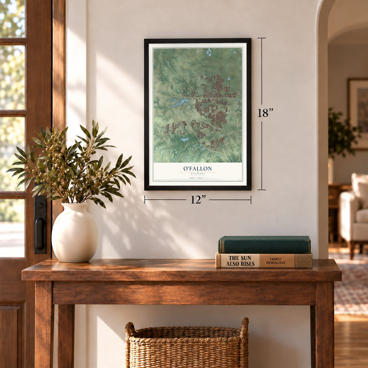
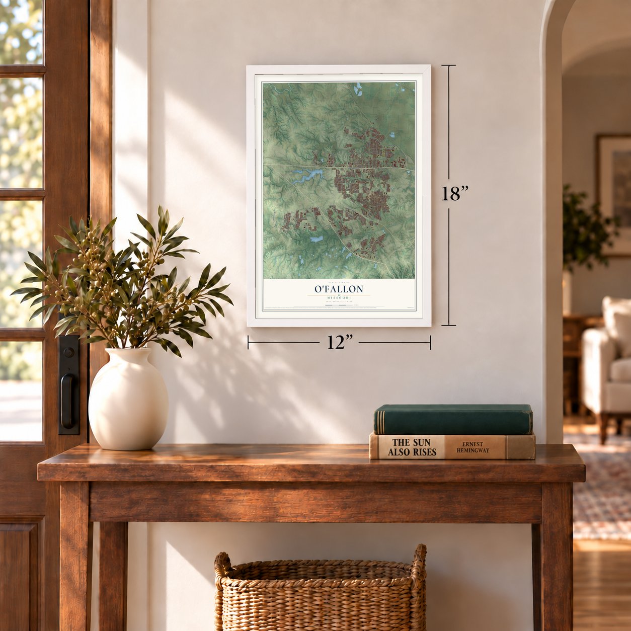
Unframed archival matte, a black wood frame or a white wood frame.
Up close
Geography Worth Displaying
This map was created using accurate cartographic data and authoritative geographic sources, including the U.S. Geological Survey and the Census Bureau. The map brings together terrain, waterways, roads, and building detail. The majority of the streets are labeled, houses are accurately depicted, and the topography is derived from government sources. Combining local data with carefully composed color and shading leads to this beautifully detailed O'Fallon artwork for your wall.
Rather than simply showing street outlines, we’ve included as many of the street names as we could reasonably fit on the map while keeping their names legible. Zoom in on the high resolution preview to see exactly what’s on the map. We truly set out to create a statement piece for anyone who loves O'Fallon. So whether it’s for you, or a gift for someone you love, we hope this map of O'Fallon brings back fond memories.
Read the story behind this map of O'Fallon, Missouri from 2026.
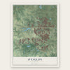
Find your street
Names on the O'Fallon map
Every name below is printed on this map. Look for your street, your school, the park where you played, or the pond down the road.
Streets and roads218
- Laura Hill Road
- Mexico Road
- Feise Road
- Guthrie Road
- Technology Drive
- Veteran's Memorial Parkway
- West Terra Lane
- East Terra Lane
- East Highway North
- Tr Hughes Boulevard
- Bryan Road
- State Highway Dd
- Highway Dd
- Paul Renaud Boulevard
- North Main Street
- Tom Ginnever Avenue
- Page South Outer Road
- Diehr Road
- Phoenix Parkway
- Sonderen Street
- Fallon Parkway
- Elaine Drive
- Old Highway 79
- Knaust Road
- Hopewell Road
- Avondale Drive
- Hoff Road
- Pearl Drive
- Firma Road
- Crusher Drive
Show all 218 streets
- Bates Road
- Sommers Road
- Jessup Drive
- Saint Matthew Avenue
- Drennan Parkway
- Belleau Creek Road
- Ofallon Road
- Brassel Drive
- Emge Road
- Sunward Drive
- Fall Harvest Parkway
- Post Road
- Barrington Drive
- Roxbury Drive
- Pieper Road
- Westridge Drive
- Turion Lane
- Koch Road
- Midpoint Drive
- Commerce Drive
- Cordes Street
- Sunview Drive
- Lloyd King
- Mora Boulevard
- Clover Lane
- Rhodes Lane
- Allen Drive
- Frontier Lane
- Winghaven Boulevard
- Twin Chimneys Boulevard
- Highway North
- Dames Park Drive
- Norwood Hills Drive
- Woodlawn Avenue
- Crestwood Lane
- Homefield Boulevard
- Weldon Spring Road
- White Magnolia Drive
- Turtle Creek Drive
- North Cool Springs Road
- Presidents Landing Drive
- Jacobs Way
- Wyndgate Ridge Drive
- State Highway North
- Covered Bridge Lane
- Saint Gemma Drive
- Pearview Drive
- Springhurst Parkway
- Preston Woods Parkway
- Wagon Wheel Trail
- Amarillo Drive
- Parkgate Drive
- Wyndgate Valley Drive
- Bramblett Road
- Fox Haven Drive
- Molloy Drive
- Crooked Stick Drive
- South Main Street
- Weldon Springs Road
- Keystone Ridge Drive
- Sunburst Drive
- Wild Oak Drive
- Noahs Mill Drive
- Cypress Point Drive
- Collier Boulevard
- Fox Wood Drive
- Mystic Brook Drive
- Oakfield Drive
- Oriental Lily Drive
- South Outer Road
- Homerun Drive
- Brook Hollow Drive
- Manderly Place Drive
- Water View Lane
- Lone Star Drive
- Falcon Hill Drive
- Surrey Trail Drive
- Christina Marie
- Bluff Brook Drive
- Post Run Drive
- Dusty Brook Drive
- Kemmar Court
- White Hawk Drive
- Prairie Point
- McClure Road
- Briscoe Avenue
- Breezy Point Lane
- Heming Road
- Arrow Lane
- Shinstock Lane
- Grace Hill Drive
- Keaton Woods Drive
- Rush Way
- Cold Spring Drive
- Carriage Trail Drive
- Little Big Horn Drive
- Asher Court
- Laura Drive
- Painted Pony Drive
- Capri Drive
- Long Gate Court
- Patsy Lane
- Saint Leo Drive
- Cog Mill Drive
- Laura Lee Drive
- Linda Lane
- Tailor Lane
- Texas Court
- Glen Drive
- Watson's Parish Drive
- Little Oaks Drive
- South Outer 364
- Dunmore Circle
- Dalriada Boulevard
- Country Life Drive
- England Drive
- Green Brier Hills Drive
- Long Creek Drive
- West Geneva Drive
- Prentice Drive
- Haycastle Drive
- Bromley Drive
- Wheatfield Farms Drive
- Knights Crossing Drive
- Ashford Place Drive
- North Central Drive
- Rascal Crossing
- Memsie Drive
- Church Street
- Ivy Point Drive
- Waterford Crossing
- Black Cherry Drive
- Willow Manor Drive
- Brushy Brook Drive
- Welker Parkway
- Beckley Place
- Winter Hill Drive
- Anjon Way
- Aster Lane
- River Birch Drive
- Pund Road
- Trent Park Drive
- Lynette Lane
- Culver Club
- Floral Way
- Hyde Drive
- Boardwalk Springs Place
- South Woodlawn Avenue
- Saint Joseph Avenue
- Woodgrove Park Drive
- Fairway Green Drive
- Waterbury Falls Drive
- O'Day Park Drive
- Sundance Drive
- Schrader Farm Drive
- Annabrook Park Drive
- Imperial Drive
- Winter Park Drive
- Chip Drive
- Soaring Eagle Drive
- Coronation Drive
- Autumn Gate Court
- Autumn Chase Drive
- Cannonball Lane
- Old Knaust Road
- Sweetcider Lane
- Topsfield Drive
- Hidden Creek Drive
- Cypress Knoll Drive
- Batters Box Drive
- Alexandria Row
- Topaz Drive
- Governors Run Court
- Winged Foot Drive
- Willow Valley Drive
- Garden Path
- Forest Trace Drive
- Christine Drive
- Bluestem Lane
- Hawks View Drive
- Delmar Drive
- Gaslite Drive
- Country Road
- Galaxy
- Stallion Trail
- Laredo Drive
- Menne Road
- Orf Avenue
Names are listed as they appear on the printed map. Zoom into the product photos to find them.
About O’Fallon, Missouri
O'Fallon is a city in St. Charles County whose early history is tied to the North Missouri Railroad. Nicholas Krekel led the village survey in 1857, and the community was named for Colonel John O'Fallon, a wealthy St. Louis railroad director. The 2020 Census recorded 91,316 residents.
- Village Surveyed in 1857Nicholas Krekel led the survey of the village in 1857.
- A Railroad NamesakeThe town received its name from Colonel John O'Fallon, who served as a director of the North Missouri Railroad.
- Population of 91,316The 2020 Census counted 91,316 people living in O'Fallon.
Keep exploring Missouri
O'Fallon is one of 1,207 Missouri towns we've mapped. Every dot on the map is a print of its own.
The search covers every state, Missouri first.
Near O'Fallon
Order 2 or more town maps and save 10%. Shown in the size and finish you picked above, so they hang as a set.
- Dardenne Prairie 12" x 18" / Archival Matte Print $39.99
- Lake St. Louis 12" x 18" / Archival Matte Print $39.99
- Cottleville 12" x 18" / Archival Matte Print $39.99
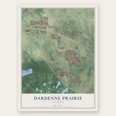
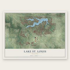

More maps nearby: St. Paul, Josephville, Weldon Spring Heights, Weldon Spring and St. Peters.
The art of mapping a place
How This Map Was Made
Real places. Remarkable detail. Discover the layers that turn geographic data into a map of home.

The view from above
Aerial imagery reveals the character of the land: woodland, open fields, and the patterns of a place.

The shape of the land
Elevation data brings hills, valleys, and subtle changes in the landscape into view.

The details of home
Roads, waterways, and building footprints come together to make the map feel unmistakably local.

Geography becomes art
Considered color, shading, and typography bring the layers together in a map made for your wall.


Process illustrated with Mendon, Massachusetts. Aerial imagery: USDA NAIP. Terrain: USGS 3D Elevation Program. Map details and finished artwork: KNOWOL.
The Details
About This Print
Choose an archival matte print, or a black or white Ayous wood frame. The archival matte print is unframed.
Select your size and finish above to see the matching product image and price.
Materials & Craftsmanship
A contemporary map with the character of a classic atlas, printed on archival matte paper. Optional frames are made from Ayous wood.
Your printed map does not include the watermark shown in the full-map preview.
Shipping & Delivery
Free shipping within the United States. Every print is made to order in the USA.
Buying a gift? Add a note in your cart and we'll include it. We never put prices in the package.
Prints ship within 2 to 3 business days. Allow 7 to 10 days total from ordering for delivery. Timing may vary during holidays or periods of high order volume.
Read our shipping policy.
Returns and damaged prints
Each print is made to order. Change-of-mind refunds are not available after production.
If your print arrives damaged, misprinted or incorrect, contact support@knowol.com within 30 days of receiving it. Include your order number, photos and a description of the issue.
Read our full refund and replacement policy. For questions about your order, email support@knowol.com.