
Search for another town





Free U.S. delivery 7 to 10 days after you order
Lake St. Louis, Missouri Map Art
A new map of Lake St. Louis, Missouri, made in 2026 and printed to order on thick archival matte paper.
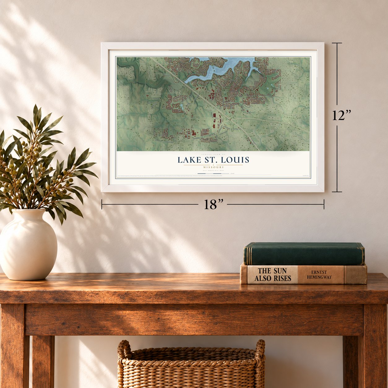
12" x 18" Archival Matte Print
A Map of Home. A Work of Art.
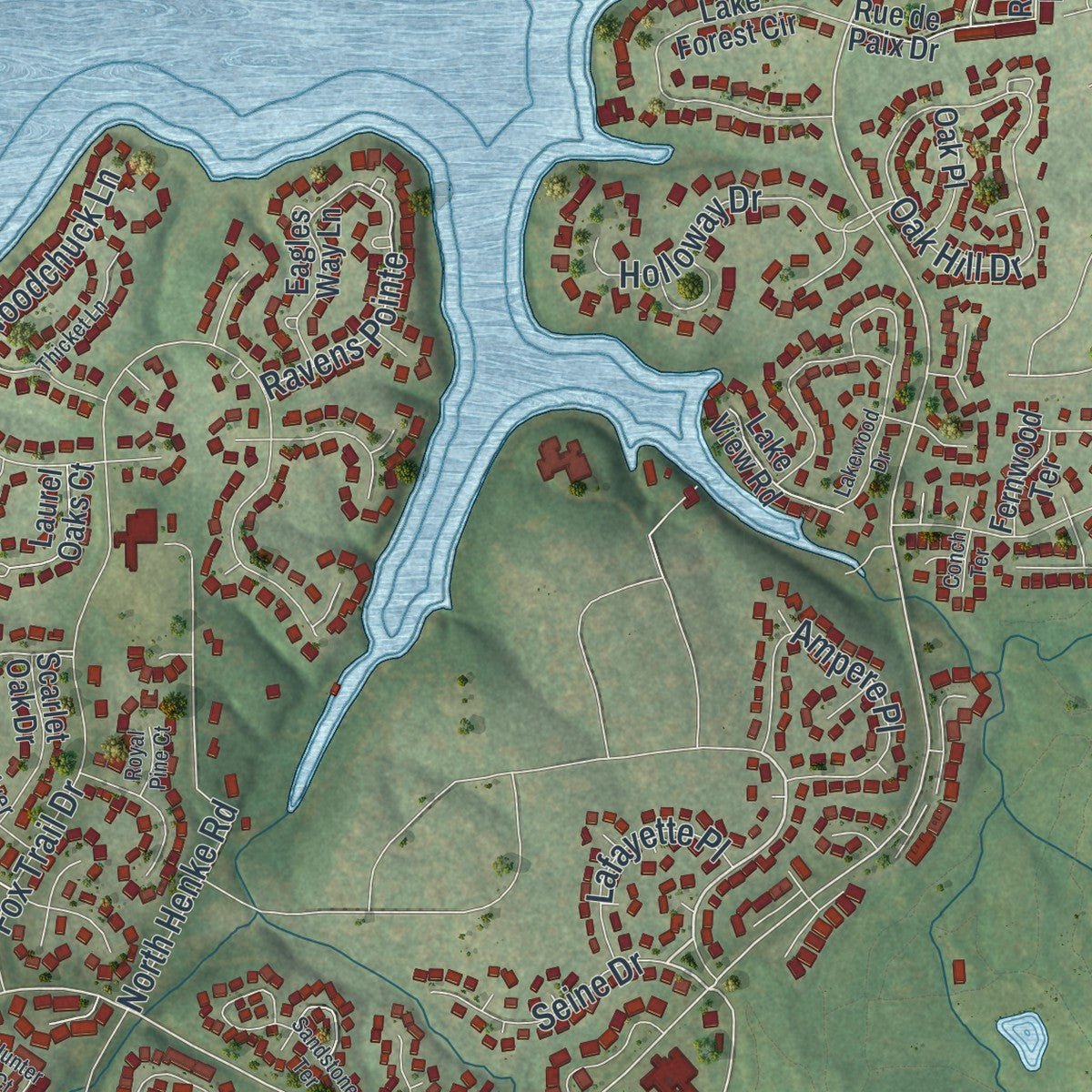
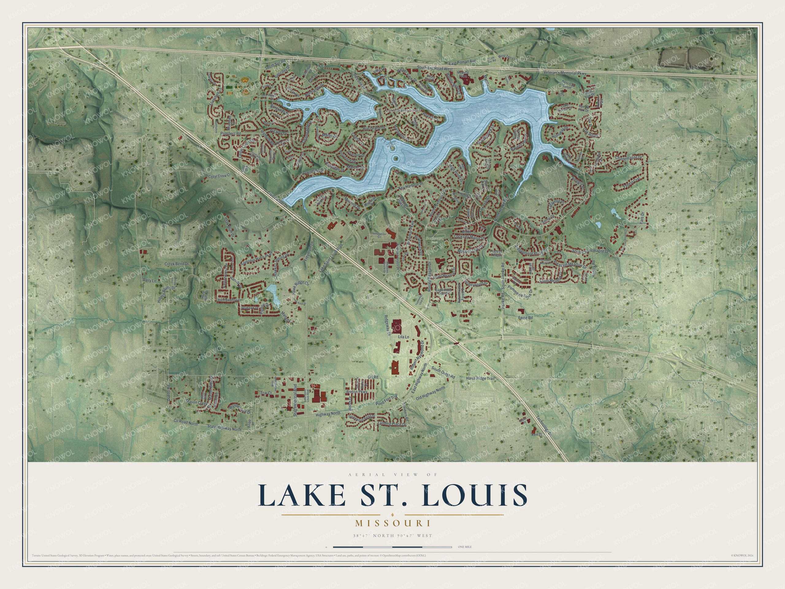
Explore Lake St. Louis, Missouri from a whole new perspective. Created using aerial imagery and detailed geographic data, this map captures Lake St. Louis building by building, with labeled streets, familiar landmarks, and shaded topographical relief that highlights the natural contours of the landscape.
Combining modern data with the timeless character of a vintage atlas, this map is just as interesting up close as it is beautiful on the wall. Whether you grew up in Lake St. Louis, spent memorable years there, or call it home today, this unique map is a great way to celebrate a place that means something to you. Zoom in on the preview to look for your street, and then order a print to put your memories on the wall.
Three ways to hang it
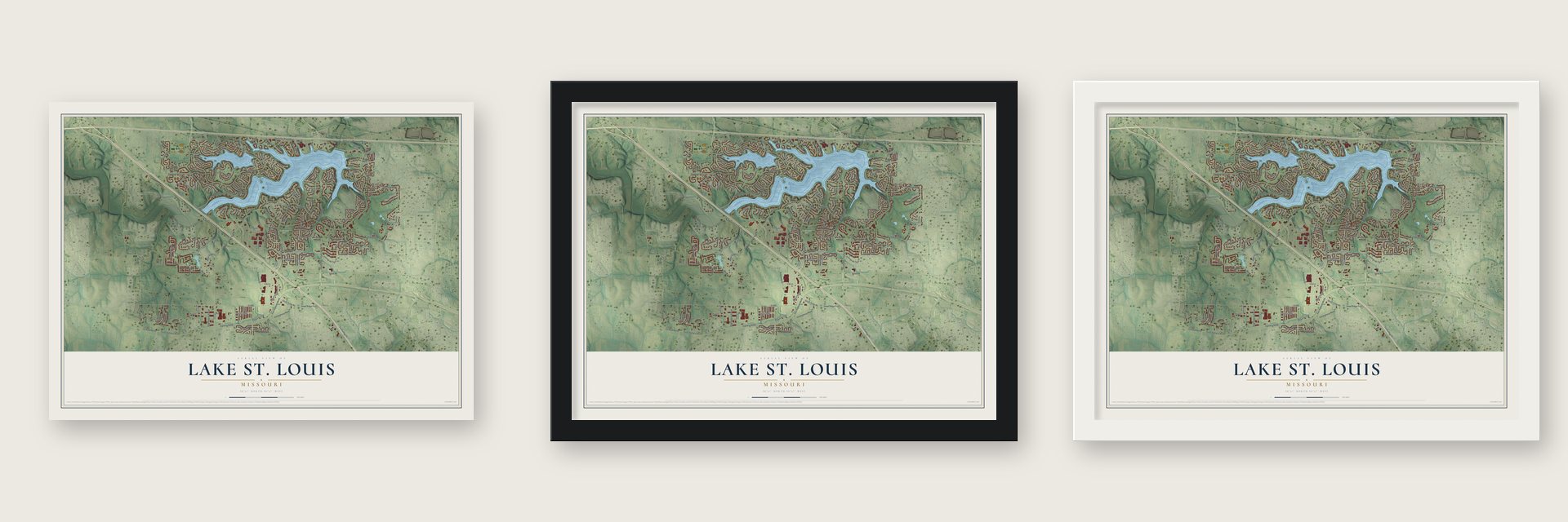
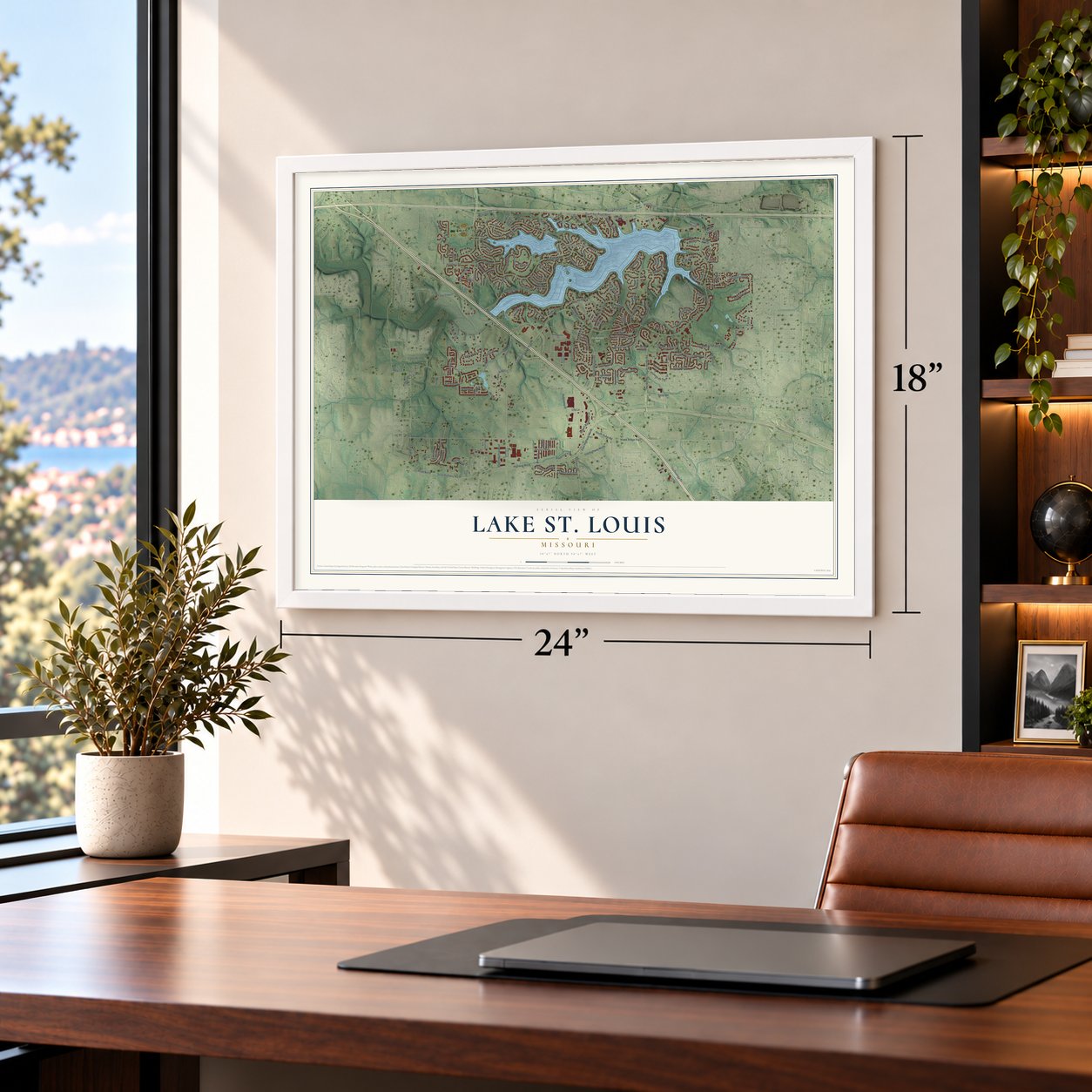
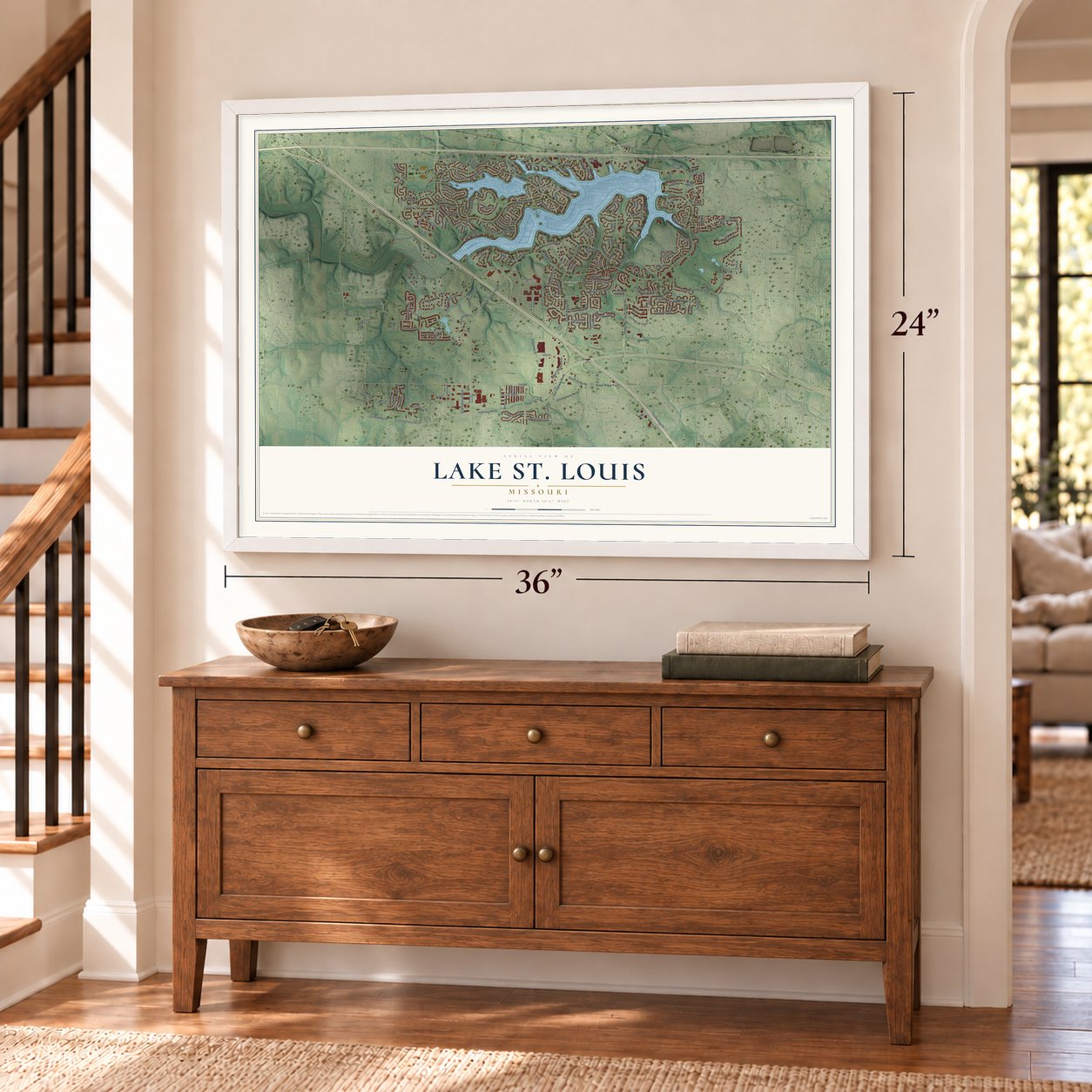
Unframed archival matte, a black wood frame or a white wood frame.
Up close
Geography Worth Displaying
This map was created using accurate cartographic data and authoritative geographic sources, including the U.S. Geological Survey and the Census Bureau. The map brings together terrain, waterways, roads, and building detail. The majority of the streets are labeled, houses are accurately depicted, and the topography is derived from government sources. Combining local data with carefully composed color and shading leads to this beautifully detailed Lake St. Louis artwork for your wall.
Rather than simply showing street outlines, we’ve included as many of the street names as we could reasonably fit on the map while keeping their names legible. Zoom in on the high resolution preview to see exactly what’s on the map. We truly set out to create a statement piece for anyone who loves Lake St. Louis. So whether it’s for you, or a gift for someone you love, we hope this map of Lake St. Louis brings back fond memories.
Read the story behind this map of Lake St. Louis, Missouri from 2026.
About Lake St. Louis, Missouri
Lake St. Louis began as a planned resort community set around two lakes in western St. Charles County. Planning started in 1961, and the community later grew from a weekend destination into an incorporated city with 16,707 residents recorded in 2020.
- 16,707 peopleThe 2020 census recorded 16,707 residents in Lake St. Louis.
- Planned in 1961Ellis Ellerman and Ira Nathan began planning a private resort community in January 1961.
- Two private lakesThe Lake St. Louis Community Association owns and administers both lakes.
- A city since 1977Residents chose the Lake St. Louis name and fourth-class city status in 1977.
- 8.72 square milesThe Census Bureau reports 7.91 square miles of land within a total area of 8.72 square miles.
Find your street
Names on the Lake St. Louis map
Every name below is printed on this map. Look for your street, your school, the park where you played, or the pond down the road.
Places and landmarks3
- Lake Saint Louis
- Boulevard Park
- Founders Park
Streets and roads188
- Ronald Reagan Drive
- Seine Drive
- South Svc Road
- State Highway North
- Freymuth Road
- Civic Center Drive
- East Highway North
- Prospect Road
- High Point Drive
- County Road North
- Lake Saint Louis Boulevard
- South Charlemagne Drive
- North Foxhound Drive
- Veteran's Memorial Parkway
- Technology Drive
- Highway North
- Orf Road
- Rue Grand Drive
- South Svc Road West
- Hawk Ridge Trail
- Savoy Drive
- Dauphine Drive
- Charlemagne Drive
- Hidden Bluffs Drive
- Fox Trail Drive
- Hawks Landing Drive
- Champagne Drive
- Oak Bluff Drive
- South Henke Road
- Normandy Drive
Show all 188 streets
- Mason Glen Drive
- Harbor View Drive
- Key Harbour Drive
- South Outer Road
- Duello Road
- Pleasant Meadow Drive
- Oak Hill Drive
- Cedar Circle Drive
- Ridgeway Drive
- Henke Road
- North Henke Road
- Braemar Parkway
- Burgundy Drive
- Flintshire Lane
- Locksley Manor Drive
- Picardy Drive
- Landing Place Drive
- Freymuth Lane
- Ampere Place
- East Pitman Avenue
- Hawk Ridge Circle
- Wyndemere Drive
- Old Highway North
- Woodchuck Lane
- Holloway Drive
- Stag Industrial Boulevard
- Falconcrest Drive
- Mooring Drive
- Yard Drive
- Robert Raymond Drive
- Creek Bend Drive
- Marquette Drive
- Marions Cove Drive
- Myna Drive
- Ridgepointe Place Drive
- Mason Creek Drive
- Pomme de Terre Drive
- Marche Drive
- Silent Meadow Drive
- Ravens Pointe
- De Loire Drive
- Lila Lane
- Villa Drive
- Welsh Drive
- Auvergne Drive
- Forest Crst
- Harbor Bend Court
- Lafayette Place
- Gascony Drive
- Breton Parkway
- Braeswick Drive
- Provence Drive
- Pond Fort Trail
- Feise Road
- Pigeon Drive
- Honeywood Drive
- Royale Court
- Cognac Drive
- Marne Drive
- Marina
- Harrier Drive
- Hanley Road
- Daily Lane
- Tcw Court
- Ellis Drive
- Bent Oak Drive
- Huzzah Drive
- Fox Hound Drive
- Cuivre Drive
- Fountain Grass Drive
- Autumnwood Forest Drive
- Lake Knoll Drive
- Saybridge Manor Parkway
- Rue de Paix
- Rue de Paix Drive
- Lake Forest Circle
- Stonewood Bend Drive
- Green Meadows Drive
- Fairway Oaks Drive
- Barn Swallow Drive
- Cedar Creek Court
- Shire Drive
- Mason Circle
- Bent Oak Cutoff
- Ellerman Road
- Marine Terrace
- Sommers Road
- Eagles Way Lane
- Pyrenees Drive
- Waler Drive
- Eaglewood Trail Drive
- Filipp Lane
- Bridle Spur Lane
- Laurel Oaks Court
- Scarlet Oak Drive
- Lemans Place
- Moorings Drive
- West Terra Lane
- Oakley Lane
- Seahawk Drive
- Woodlake Court
- Lake View Road
- Collette Court
- Medical Plaza
- Harbor Point Court
- Fernwood Terrace
- Oak Place
- Royale Drive
- Hazy Hills Drive
- Charleroi Place
- Fox Bridge
- Seasons Parkway
- Place de Yeager
- Racine Court
- Kent Drive
- Paris Court
- Meadows Ciricle Drive
- Woodland Drive
- Owls Perch Drive
- Guyenne Drive
- Ardennes Place
- Innovation Circle
- Mason Hill Drive
- Water Drive
- Fountain View Terrace
- Wies Industrial Drive
- Silver Leaf Court
- Northshire Lane
- Summer Fair Court
- Rheims Court
- North Svc Road
- Rouen Court
- Chase Court
- Breezy Knoll Lane
- Lemans Court
- Cedar Ridge
- Hope Court
- Lakewood Drive
- Hawk Ridge Drive
- Sandstone Terrace
- Hunter Court
- South Chariemagne Drive
- High Hill Court
- Thicket Lane
- Peaceful Meadow Court
- Bordeaux Place
- Technology Loop Drive
- Keswick Drive
- Shorewood Court
- Geiser Brook Court
- Nantua Court
- Cozy Pines Drive
- Lakeside Circle
- Lussac Court
- Royal Pine Court
- Rue Pettite
- Conch Terrace
- Paris Place
Names are listed as they appear on the printed map. Zoom into the product photos to find them.
The art of mapping a place
How This Map Was Made
Real places. Remarkable detail. Discover the layers that turn geographic data into a map of home.

The view from above
Aerial imagery reveals the character of the land: woodland, open fields, and the patterns of a place.

The shape of the land
Elevation data brings hills, valleys, and subtle changes in the landscape into view.

The details of home
Roads, waterways, and building footprints come together to make the map feel unmistakably local.

Geography becomes art
Considered color, shading, and typography bring the layers together in a map made for your wall.


Process illustrated with Mendon, Massachusetts. Aerial imagery: USDA NAIP. Terrain: USGS 3D Elevation Program. Map details and finished artwork: KNOWOL.
The Details
About This Print
Choose an archival matte print, or a black or white Ayous wood frame. The archival matte print is unframed.
Select your size and finish above to see the matching product image and price.
Materials & Craftsmanship
A contemporary map with the character of a classic atlas, printed on archival matte paper. Optional frames are made from Ayous wood.
Your printed map does not include the watermark shown in the full-map preview.
Shipping & Delivery
Free shipping within the United States. Every print is made to order in the USA.
Buying a gift? Add a note in your cart and we'll include it. We never put prices in the package.
Prints ship within 2 to 3 business days. Allow 7 to 10 days total from ordering for delivery. Timing may vary during holidays or periods of high order volume.
Read our shipping policy.
Returns and damaged prints
Each print is made to order. Change-of-mind refunds are not available after production.
If your print arrives damaged, misprinted or incorrect, contact support@knowol.com within 30 days of receiving it. Include your order number, photos and a description of the issue.
Read our full refund and replacement policy. For questions about your order, email support@knowol.com.
Find your town
Looking for another city?
Find a map of home in our Missouri collection, or any town in the country.
Nearby
Maps of towns near Lake St. Louis
Know someone from one of these towns? Their map makes a great gift.
 O'Fallon
, Missouri
From $39.99See the map
 Josephville
, Missouri
From $39.99See the map
 Dardenne Prairie
, Missouri
From $39.99See the map
More maps nearby: Wentzville, St. Paul, New Melle, Cottleville and Flint Hill.