
Search for another town
Free U.S. delivery 7 to 10 days after you order
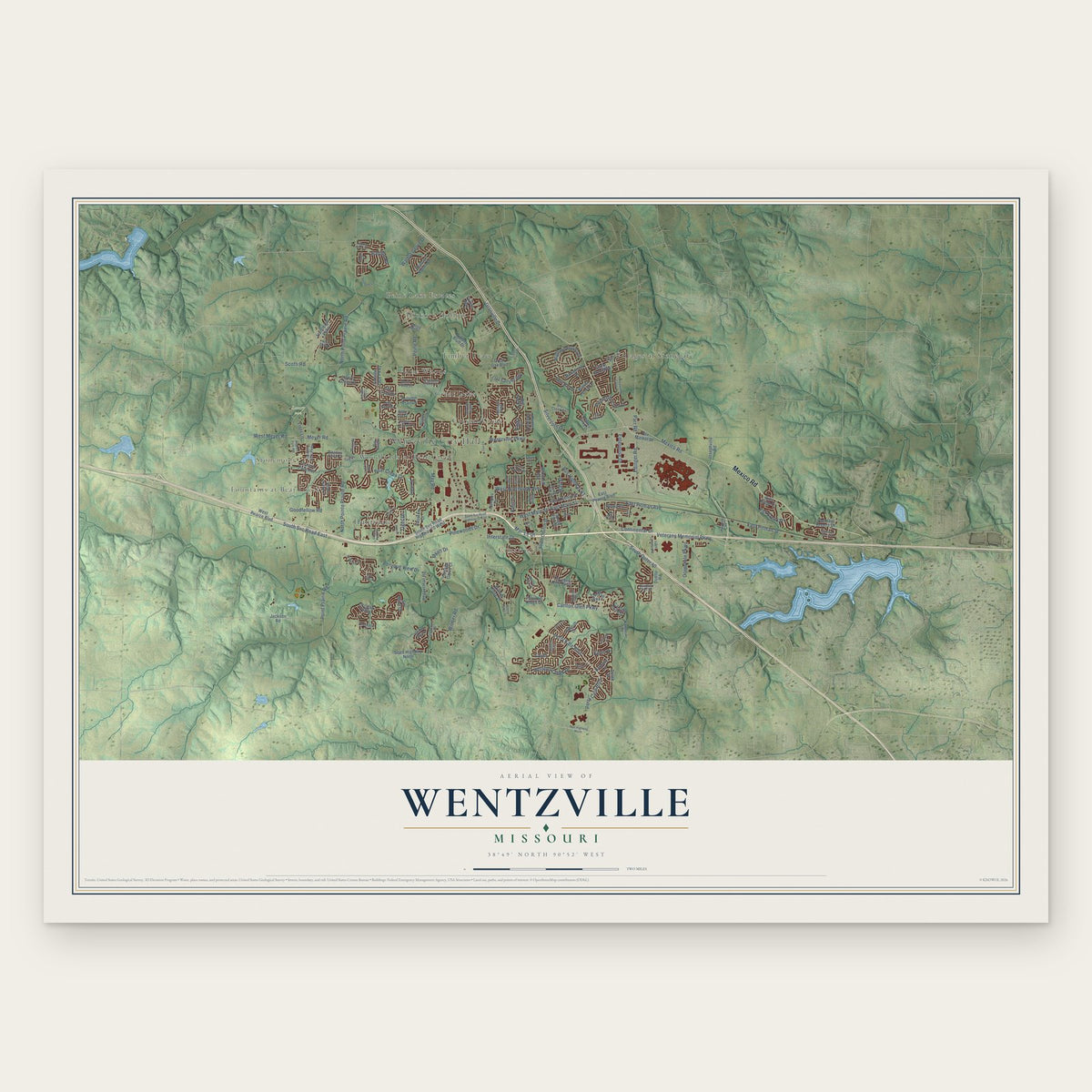
Wentzville, Missouri Map Art
Building by building, with labeled streets and shaded relief.
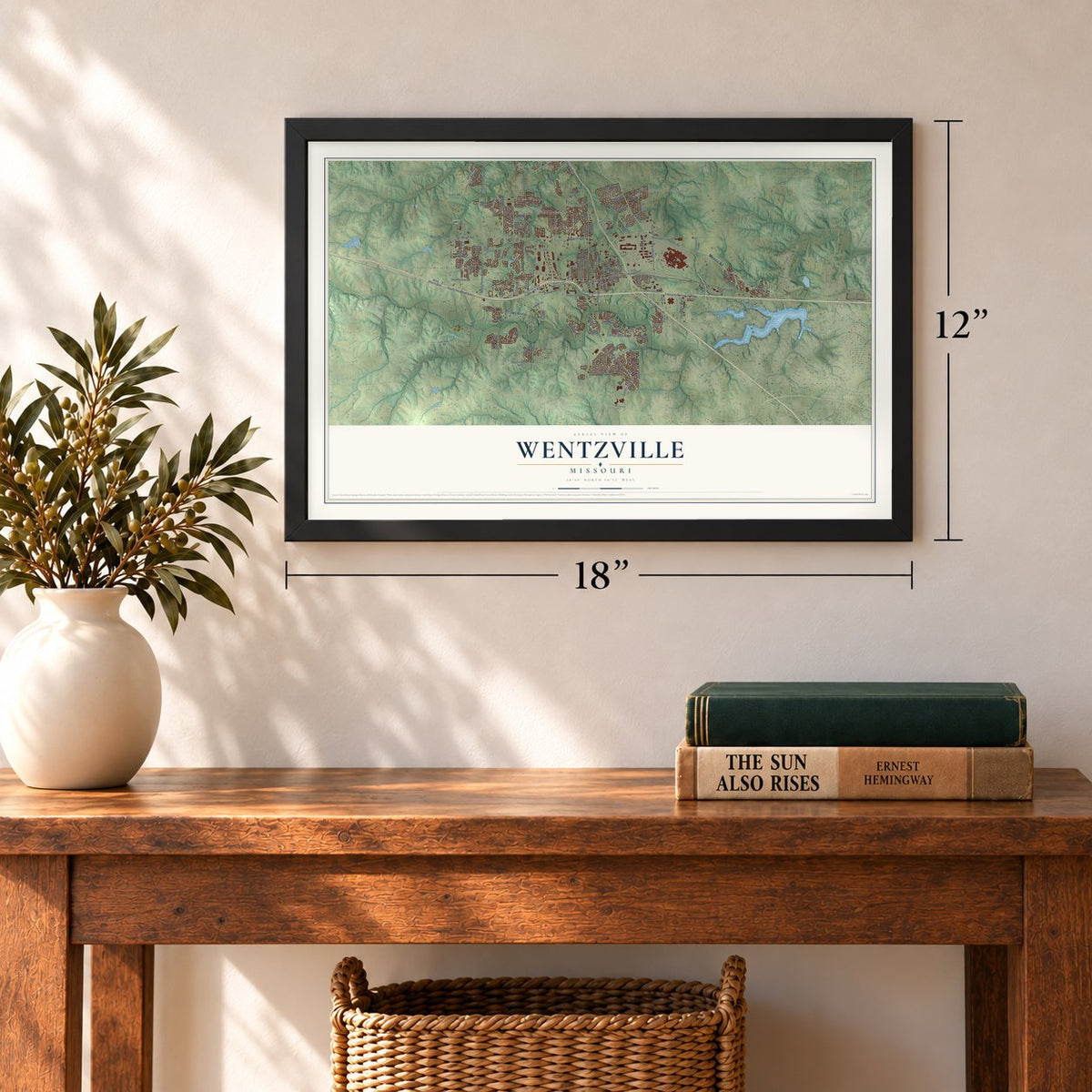
12" x 18" Archival Matte Print
A Map of Home. A Work of Art.
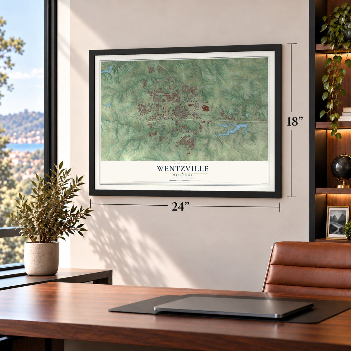
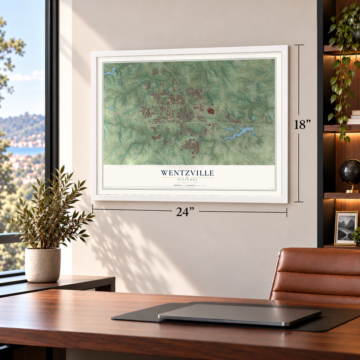
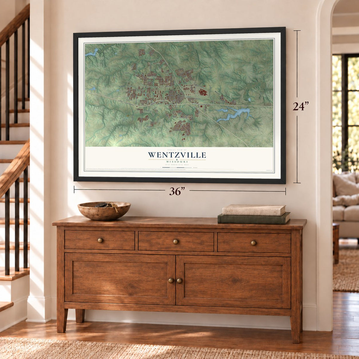
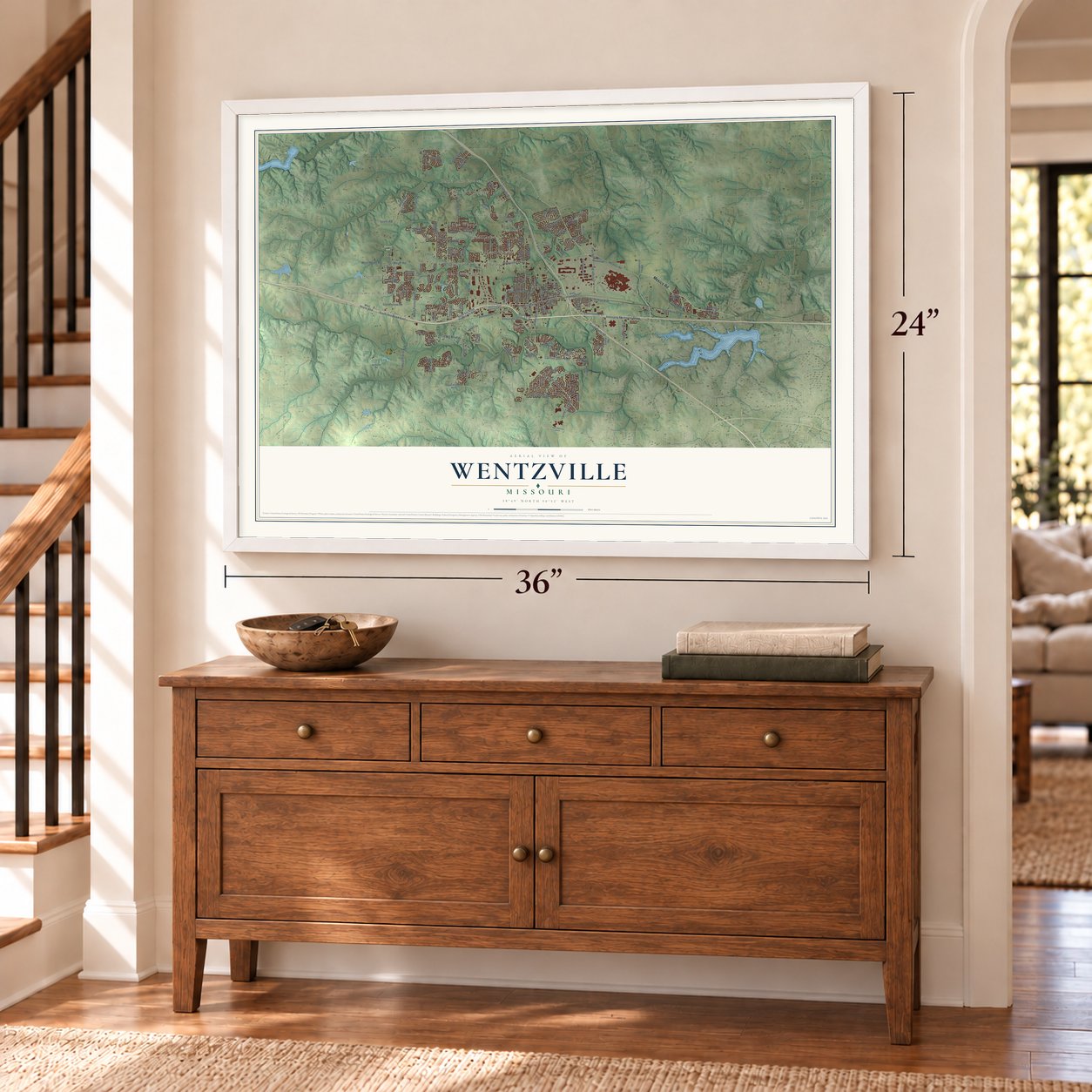
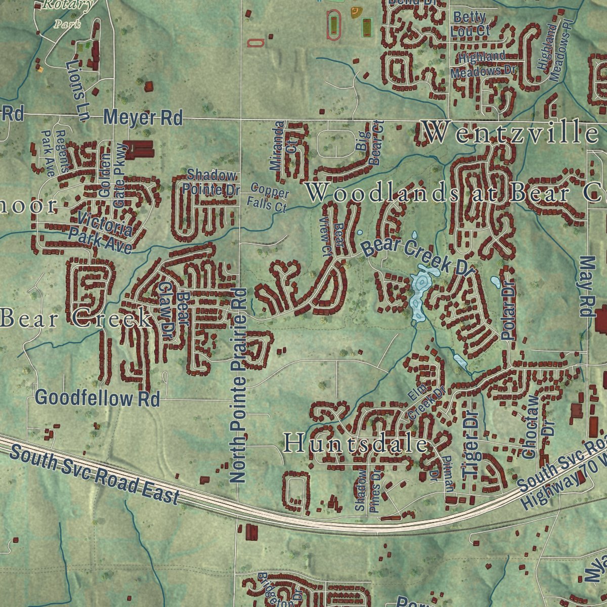
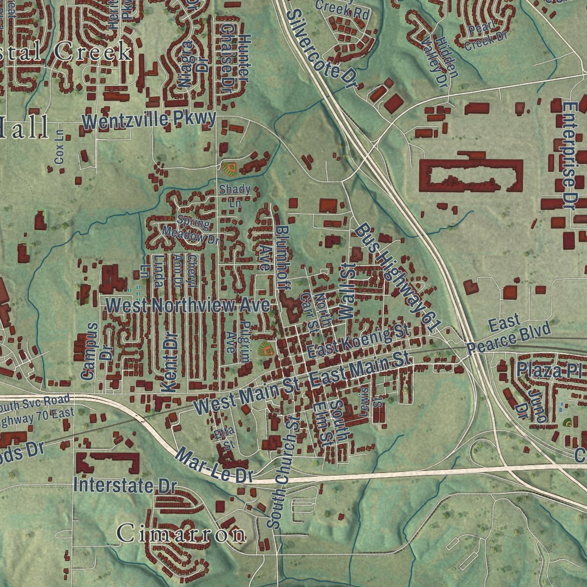
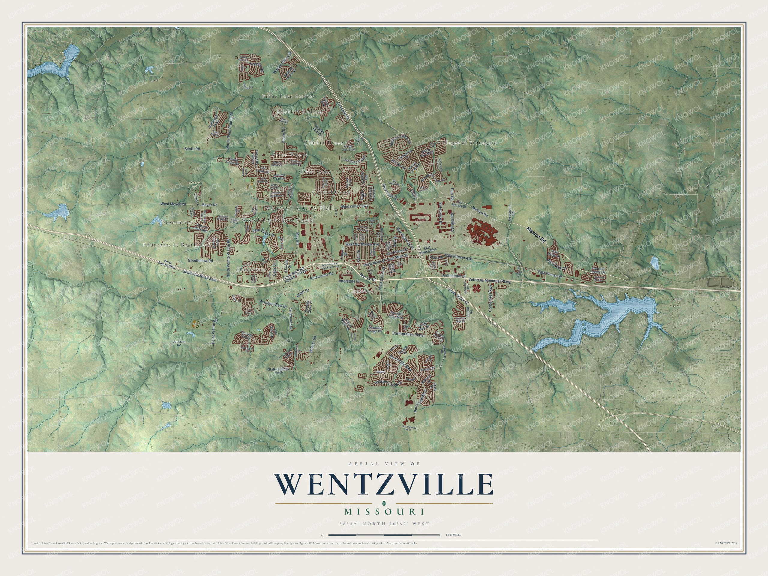
Explore Wentzville, Missouri from a whole new perspective. Created using aerial imagery and detailed geographic data, this map captures Wentzville building by building, with labeled streets, familiar landmarks, and shaded topographical relief that highlights the natural contours of the landscape.
Combining modern data with the timeless character of a vintage atlas, this map is just as interesting up close as it is beautiful on the wall. Whether you grew up in Wentzville, spent memorable years there, or call it home today, this unique map is a great way to celebrate a place that means something to you. Zoom in on the preview to look for your street, and then order a print to put your memories on the wall.
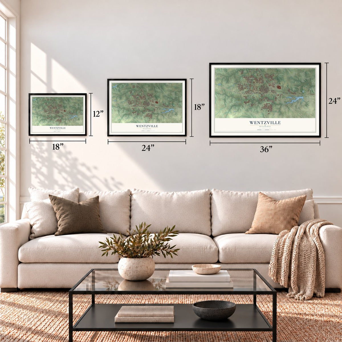
Three ways to hang it
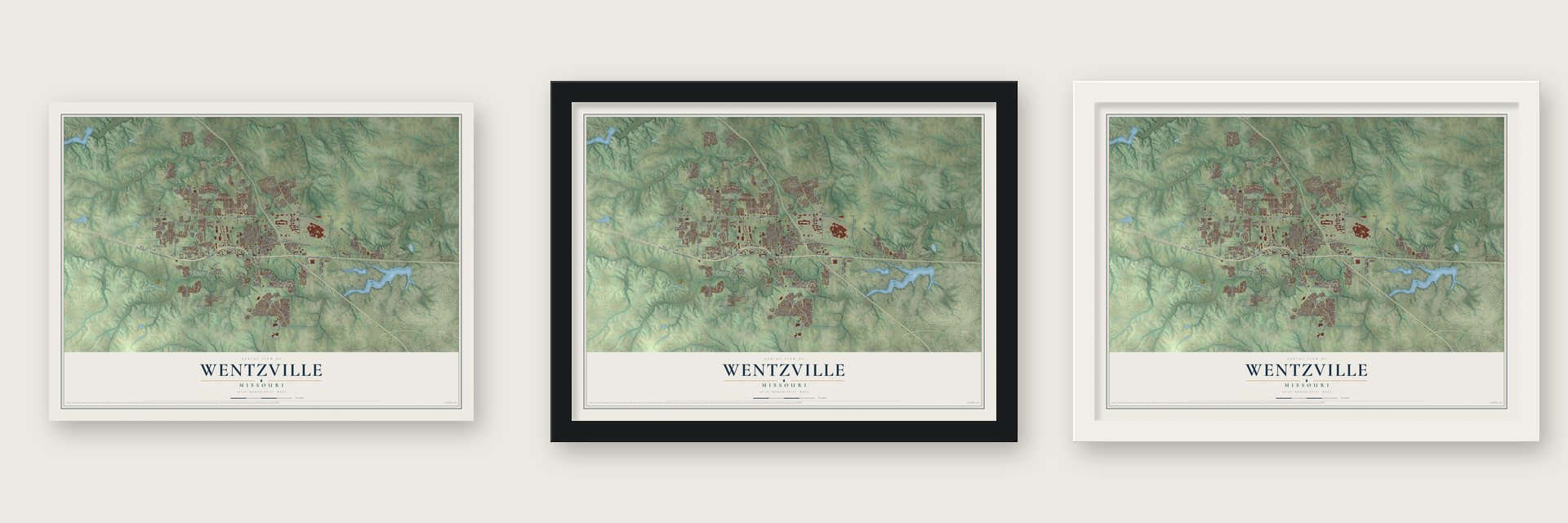
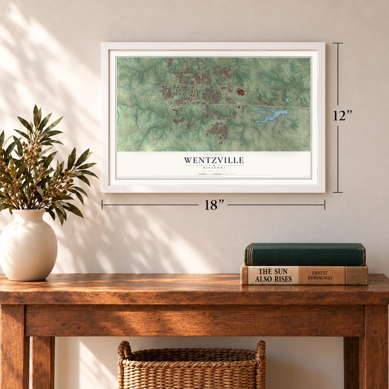
Unframed archival matte, a black wood frame or a white wood frame.
Up close
Geography Worth Displaying
This map was created using accurate cartographic data and authoritative geographic sources, including the U.S. Geological Survey and the Census Bureau. The map brings together terrain, waterways, roads, and building detail. The majority of the streets are labeled, houses are accurately depicted, and the topography is derived from government sources. Combining local data with carefully composed color and shading leads to this beautifully detailed Wentzville artwork for your wall.
Rather than simply showing street outlines, we’ve included as many of the street names as we could reasonably fit on the map while keeping their names legible. Zoom in on the high resolution preview to see exactly what’s on the map. We truly set out to create a statement piece for anyone who loves Wentzville. So whether it’s for you, or a gift for someone you love, we hope this map of Wentzville brings back fond memories.
Read the story behind this map of Wentzville, Missouri from 2026.
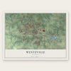
Find your street
Names on the Wentzville map
Every name below is printed on this map. Look for your street, your school, the park where you played, or the pond down the road.
Places and landmarks14
- Wentzville City Hall
- Stonemoor
- Fountains at Bear Creek
- Rotary Park
- Villages at Stonegate
- Cimarron
- Hickory Hollow
- Woodlands at Bear Creek
- Peine Woods
- Timber Trace
- Peine Lake Estates
- Huntsdale
Show all 14 places
- Great Oaks
- Crystal Creek
Streets and roads158
- Mexico Road
- Wentzville Parkway
- Veterans Memorial Parkway
- Perry Kate Boulevard
- Bus Highway 61
- South Svc Road East
- East Pitman Avenue
- Sceptre Road
- Interstate Drive
- West Main Street
- East Main Street
- Mar-Le Drive
- Meyer Road
- East Pitman Street
- West Meyer Road
- Peine Road
- North Point Prairie Road
- Bear Creek Drive
- Perry Cate Boulevard
- Carlton Glen Parkway
- Wilmer Road
- Whisper Creek Drive
- May Road
- Continental Drive
- Goodfellow Road
- Scotti Road
- Edinger Road
- Walnut Grove Drive
- South Outer 40
- Enterprise Drive
Show all 158 streets
- North Pointe Prairie Road
- Point Prairie Road
- Fox Creek Drive
- Granville Drive
- West Northview Avenue
- Pinewoods Drive
- Corporate Parkway
- Peruque View Drive
- Parr Road
- Silvercote Drive
- Kent Drive
- Wall Street
- Tiger Drive
- Plaza Place
- Myatt Drive
- Kevin Drive
- Lauer
- South Svc Road Highway 70 West
- Josephville Road
- Wilmer Ridge Drive
- Bethany Lane
- State Highway North
- West Pearce Boulevard
- Hepperman Road
- East Pearce Boulevard
- Highland Estates Drive
- Bedford Pointe Drive
- Carlton Point Drive
- Huntleigh Parkway
- Silo Bend Drive
- Brookshire Creek Drive
- Blumhoff Avenue
- Peruque Ridge Drive
- Autumn Trace Parkway
- South Church Street
- Lost Canyon Boulevard
- Hannah Drive
- Stone Run Boulevard
- Big Bend Drive
- Fairway Valley
- Timber Bluff Drive
- Derby Way Drive
- Great Oak Boulevard
- East Koenig Street
- Victoria Park Avenue
- Split Rail Drive
- Hunter Chaise Drive
- Ballantrae Drive
- Pleasant Breeze Drive
- Autumn Trail Drive
- Peruque Hills Parkway
- Duello Road
- Derek Drive
- Choctaw Drive
- Lions Lane
- Bear Claw Drive
- South Elm Street
- Picket Fence Drive
- Campus Drive
- Forest Way
- Rifle Ridge Drive
- Juno Drive
- Liberty Grove Drive
- Lick Creek Drive
- Fair Market Drive
- Cottage Grove Court
- Jackson Road
- Polar Drive
- Niagra Drive
- Dry Creek Road
- Delaney
- Kammeier Road
- Heritage Parkway
- Hidden Valley Drive
- Shadow Pointe Drive
- Linda Lane
- Golden Gate Parkway
- Joshua Drive
- North Carr Street
- Tulip Bend Drive
- Big Bear Court
- Ironhorse Court
- Spring Mill Drive
- Marie Peine Court
- Pilgrim Avenue
- Miranda Court
- Goss Court
- Heather Glen Drive
- Betty Lou Court
- South Svc Road Highway 70 East
- South Callahan Road
- East Highway North
- Freymuth Road
- Wilmer Valley Drive
- Great Oaks Boulevard
- Honeysuckle Creek Drive
- Cheryl Ann Drive
- Elm Creek Drive
- Albany Manor Drive
- Swantner Lane
- Highland Meadows Place
- Pitman Drive
- Sunshine Brook Drive
- Shadow Pines Drive
- Providence Estates Drive
- Kellerton Place
- Highland Meadows Drive
- Boulder Creek Drive
- Bridgeton Drive
- Landmark Drive
- Spring Meadow Drive
- Hampton Ridge Drive
- Paddington Street
- Regents Park Avenue
- Valley Bluff Drive
- Timber Trace Drive
- Foster Lane
- Pearl Creek Drive
- Lewis Street
- Fair Bluff Drive
- Bear View Court
- Copper Falls Court
- Lias Way
- Cox Lane
- Autumn Run Court
- Ranger Drive
- Shady Lane
- Etta Street
Names are listed as they appear on the printed map. Zoom into the product photos to find them.
About Wentzville, Missouri
Wentzville is a city of 44,372 people in western St. Charles County, Missouri. The place was platted and surveyed in 1855 under the direction of Erasmus Livingston Wentz, chief engineer of the Northern Missouri Railroad. The new town was named for him.
Wentzville grew faster than any other city in Missouri, by percentage, between 2000 and 2020. The Census Bureau estimated 48,646 residents in 2024, which made it the state's 15th-largest city. General Motors is the city's major employer and builds full-size vans and small trucks at its Wentzville Assembly plant.
- The first Vietnam memorialNo other place in the United States honored Vietnam veterans with a memorial before Wentzville did. By 1984 it had become a granite pillar topped by a carved eagle. Veterans riding the national Run for the Wall trip make it a regular stop.
- Back to WentzvilleRock and roll pioneer Chuck Berry had a home in the area. George Thorogood wrote "Back to Wentzville" for him and made it the opening song of his 1982 album Bad to the Bone. Berry was also the last owner of the Southern Air Restaurant, long a favorite stop for travelers between St. Louis and Columbia. Lindenwood University now holds classes in that building.
- The county fair at Rotary ParkRotary Park in Wentzville hosts two big events every year: the St. Louis Renaissance Festival, and also the St. Charles County Fair.
Keep exploring Missouri
Wentzville is one of 1,207 Missouri towns we've mapped. Every dot on the map is a print of its own.
The search covers every state, Missouri first.
Near Wentzville
Order 2 or more town maps and save 10%. Shown in the size and finish you picked above, so they hang as a set.
- Flint Hill 12" x 18" / Archival Matte Print $39.99
- Josephville 12" x 18" / Archival Matte Print $39.99
- Foristell 12" x 18" / Archival Matte Print $39.99

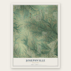
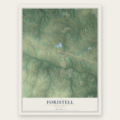
More maps nearby: Lake St. Louis, New Melle, St. Paul, Chain of Rocks and O'Fallon.
The art of mapping a place
How This Map Was Made
Real places. Remarkable detail. Discover the layers that turn geographic data into a map of home.

The view from above
Aerial imagery reveals the character of the land: woodland, open fields, and the patterns of a place.

The shape of the land
Elevation data brings hills, valleys, and subtle changes in the landscape into view.

The details of home
Roads, waterways, and building footprints come together to make the map feel unmistakably local.

Geography becomes art
Considered color, shading, and typography bring the layers together in a map made for your wall.


Process illustrated with Mendon, Massachusetts. Aerial imagery: USDA NAIP. Terrain: USGS 3D Elevation Program. Map details and finished artwork: KNOWOL.
The Details
About This Print
Choose an archival matte print, or a black or white Ayous wood frame. The archival matte print is unframed.
Select your size and finish above to see the matching product image and price.
Materials & Craftsmanship
A contemporary map with the character of a classic atlas, printed on archival matte paper. Optional frames are made from Ayous wood.
Your printed map does not include the watermark shown in the full-map preview.
Shipping & Delivery
Free shipping within the United States. Every print is made to order in the USA.
Buying a gift? Add a note in your cart and we'll include it. We never put prices in the package.
Prints ship within 2 to 3 business days. Allow 7 to 10 days total from ordering for delivery. Timing may vary during holidays or periods of high order volume.
Read our shipping policy.
Returns and damaged prints
Each print is made to order. Change-of-mind refunds are not available after production.
If your print arrives damaged, misprinted or incorrect, contact support@knowol.com within 30 days of receiving it. Include your order number, photos and a description of the issue.
Read our full refund and replacement policy. For questions about your order, email support@knowol.com.