
Search for another town



Free U.S. delivery 7 to 10 days after you order
Oak Ridge, Tennessee Map Art
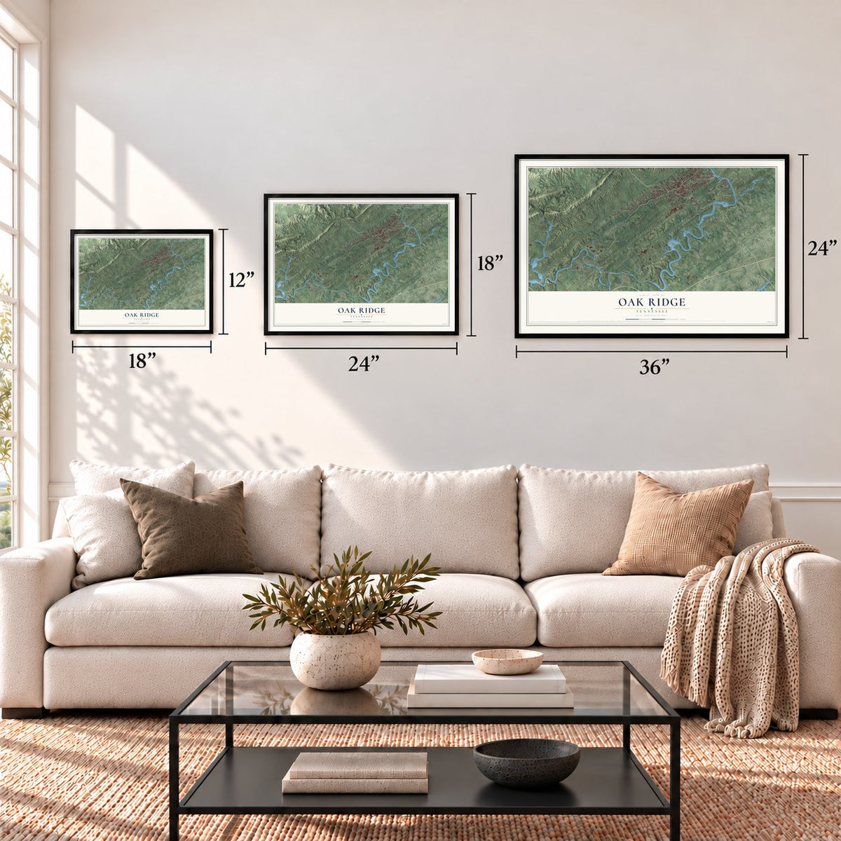
A new map of Oak Ridge, Tennessee, made in 2026 and printed to order on thick archival matte paper.
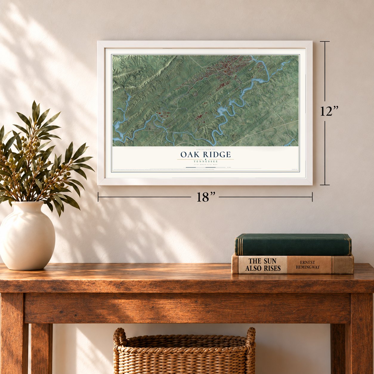
12" x 18" Archival Matte Print
A Map of Home. A Work of Art.
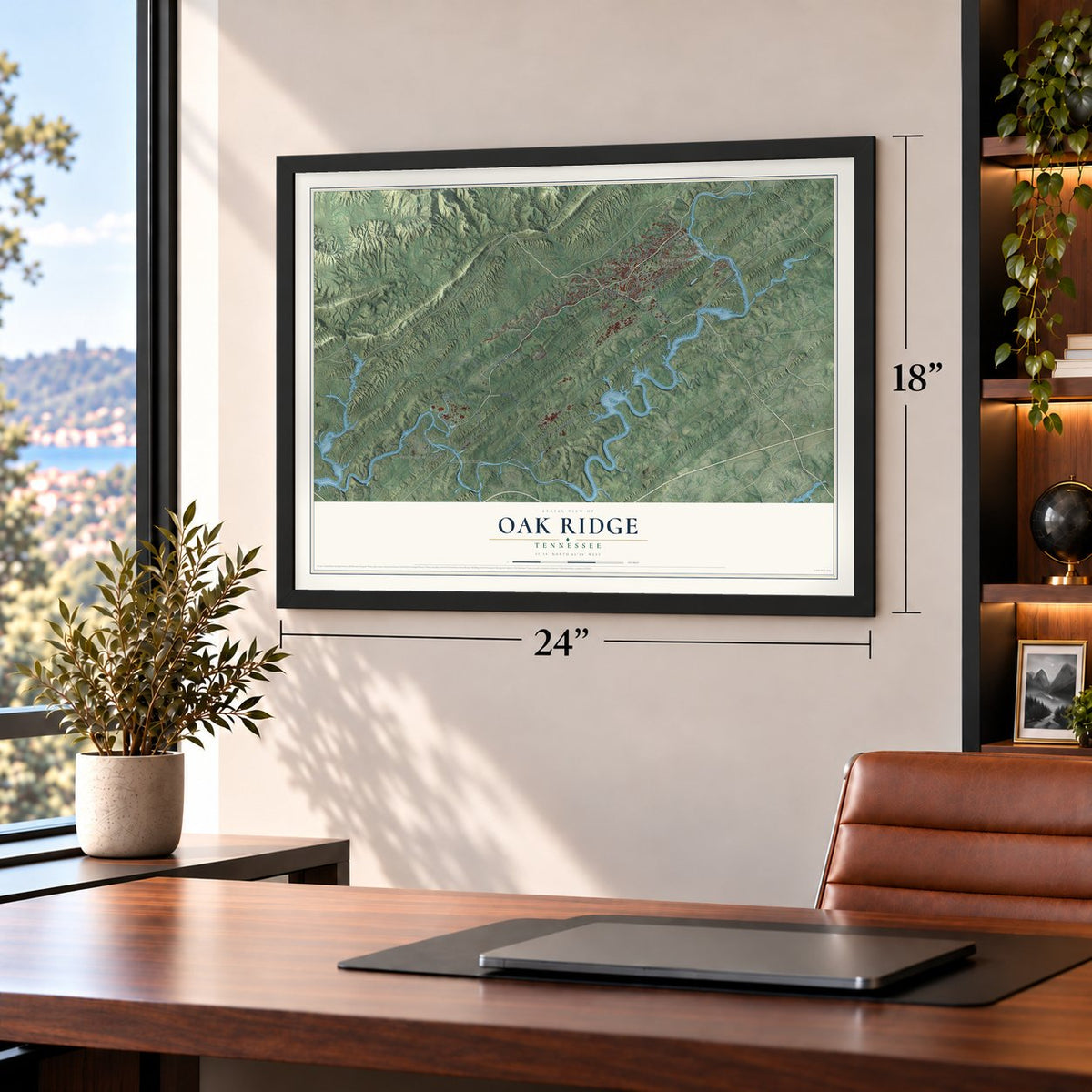
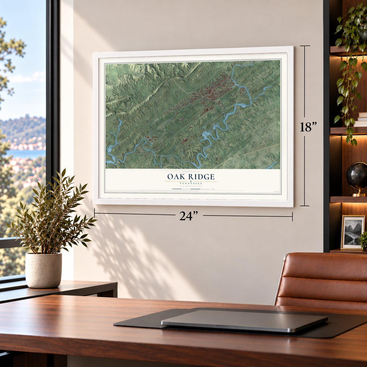
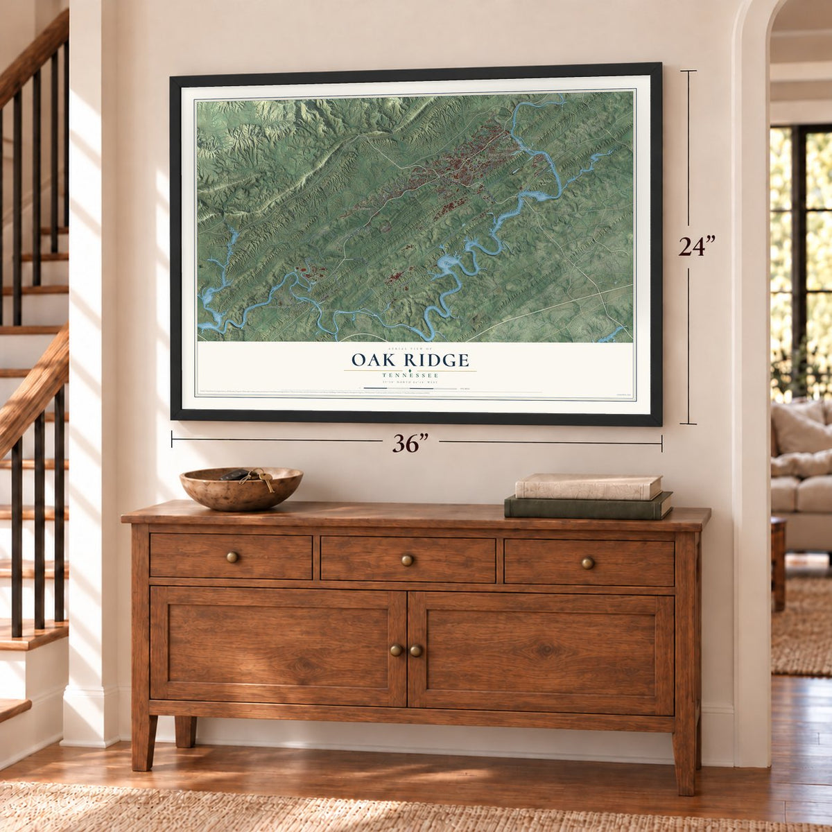
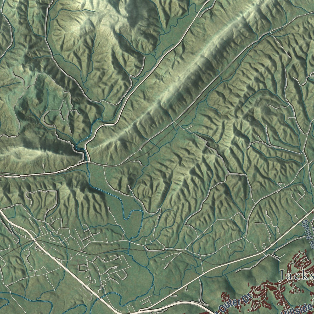
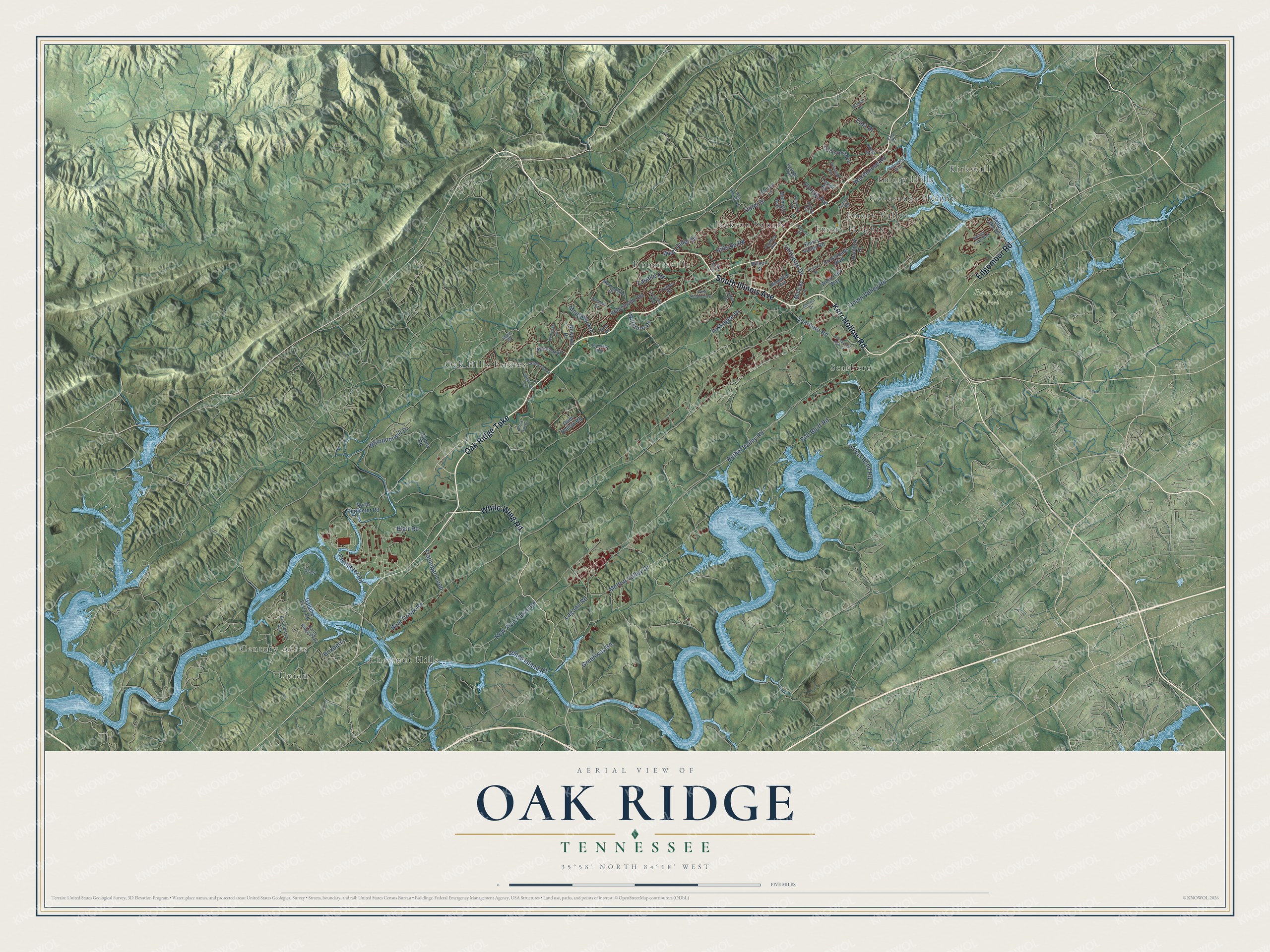
Explore Oak Ridge, Tennessee from a whole new perspective. Created using aerial imagery and detailed geographic data, this map captures Oak Ridge building by building, with labeled streets, familiar landmarks, and shaded topographical relief that highlights the natural contours of the landscape.
Combining modern data with the timeless character of a vintage atlas, this map is just as interesting up close as it is beautiful on the wall. Whether you grew up in Oak Ridge, spent memorable years there, or call it home today, this unique map is a great way to celebrate a place that means something to you. Zoom in on the preview to look for your street, and then order a print to put your memories on the wall.
Three ways to hang it
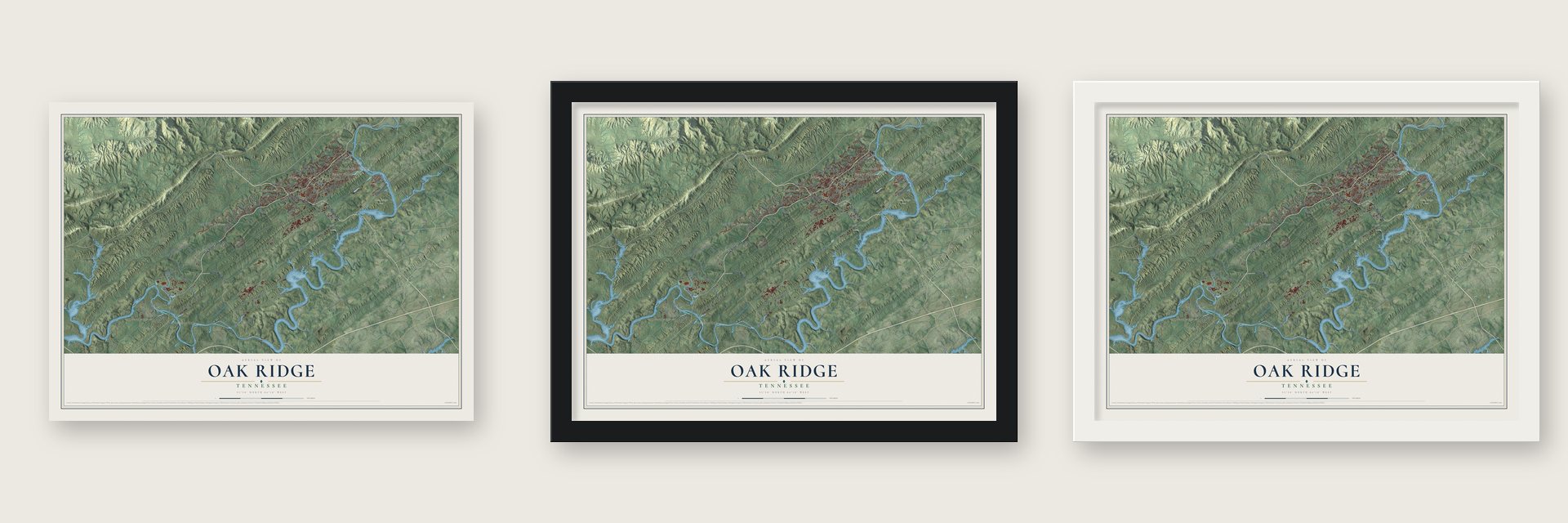
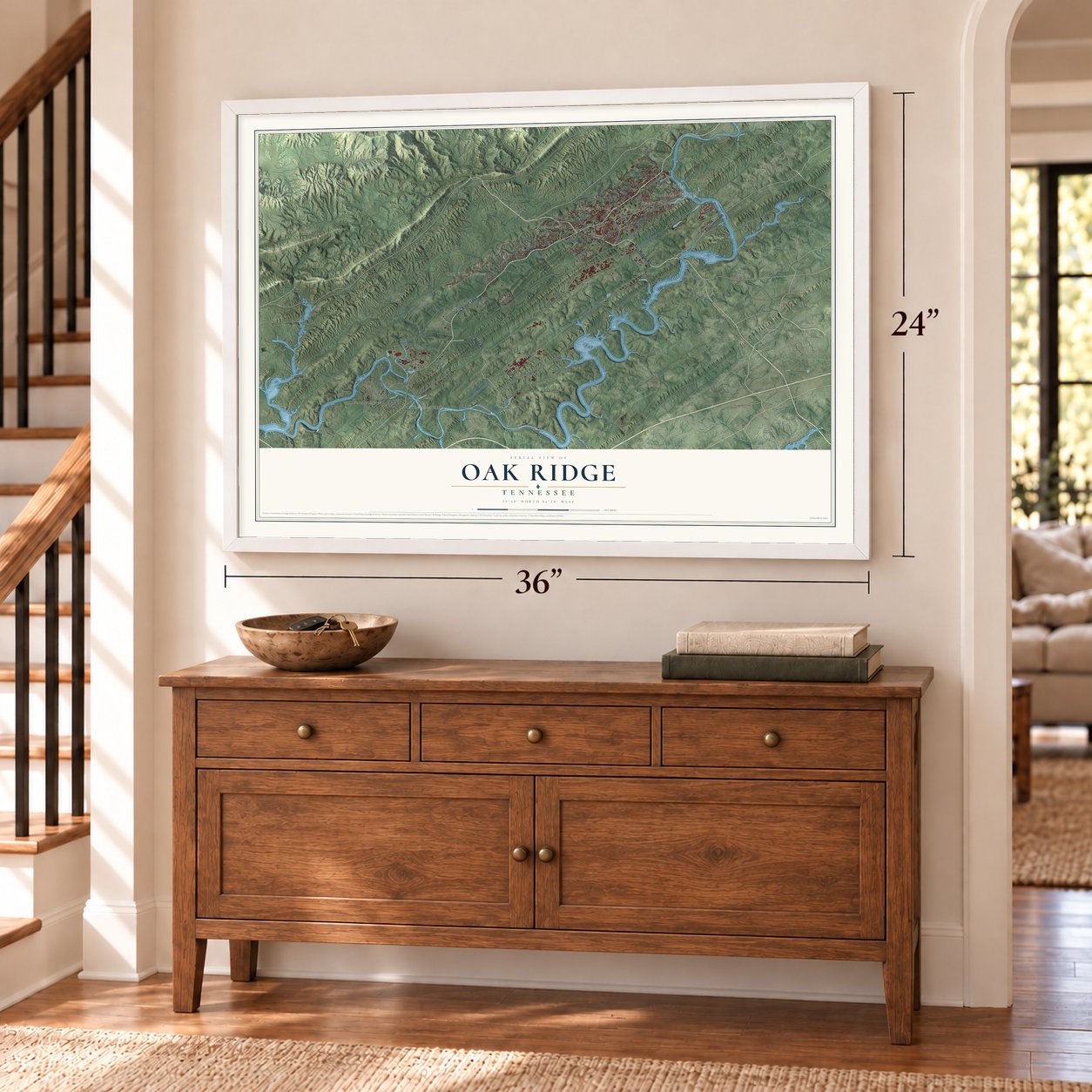
Unframed archival matte, a black wood frame or a white wood frame.
Up close
Geography Worth Displaying
This map was created using accurate cartographic data and authoritative geographic sources, including the U.S. Geological Survey and the Census Bureau. The map brings together terrain, waterways, roads, and building detail. The majority of the streets are labeled, houses are accurately depicted, and the topography is derived from government sources. Combining local data with carefully composed color and shading leads to this beautifully detailed Oak Ridge artwork for your wall.
Rather than simply showing street outlines, we’ve included as many of the street names as we could reasonably fit on the map while keeping their names legible. Zoom in on the high resolution preview to see exactly what’s on the map. We truly set out to create a statement piece for anyone who loves Oak Ridge. So whether it’s for you, or a gift for someone you love, we hope this map of Oak Ridge brings back fond memories.
Read the story behind this map of Oak Ridge, Tennessee from 2026.
About Oak Ridge, Tennessee
Oak Ridge is a city of 31,402 people in Anderson County, in the Clinch River valley west of Knoxville. Farm communities such as Robertsville, Scarboro, Elza and Wheat had grown up here in the early 19th century. In October 1942 the Army Corps of Engineers began taking about 59,000 acres for the Manhattan Project, the wartime effort to build an atomic bomb. Many families learned they had to leave from eviction notices on their doors, and the average price paid was $46.86 an acre.
By March 1943 the old communities were gone, and fences and checkpoints closed off the site. The Army chose to build a lasting town at the east end of the valley, and Skidmore, Owings & Merrill drew its plan, with John O. Merrill moving to Tennessee to lead the design. Workers suggested the name Oak Ridge in 1943, for Black Oak Ridge, and officials liked that a country name drew little notice. The town grew from a few thousand people in 1942 to about 75,000 by 1945, and the name became official in 1949.
“During and after the war, Oak Ridgers provided much of the theoretical and practical grounding for the developing nuclear industry.”
- Uranium and plutoniumThree plants went up here, K-25, Y-12 and S-50, to pull uranium-235 out of natural uranium. At the X-10 site, the Graphite Reactor was a pilot plant for making plutonium, and what was learned there shaped full-scale production at the Hanford Site. The X-10 Reactor joined the National Register in 1966, and the site is now Oak Ridge National Laboratory.
- 14,700 tons of silverCopper ran short while the electromagnets for Y-12 were being built. The Manhattan Engineer District solved the problem by borrowing 14,700 tons of silver bullion from the U.S. Treasury and using it in place of copper in the wire for the magnet coils.
- A governor tore it upIn July 1943 a presidential proclamation made Oak Ridge a military district outside state control. When a lieutenant handed it to Governor Prentice Cooper, he tore it up and refused to meet the project engineer. Lieutenant Colonel Kenneth Nichols had to calm him, and Cooper toured the project, apart from the plants still being built, on November 3, 1943.
- Tennessine in 2016A new element got the name tennessine in 2016.
Find your street
Names on the Oak Ridge map
Every name below is printed on this map. Look for your street, your school, the park where you played, or the pond down the road.
Places and landmarks13
- Haw Ridge Park
- Century Acres
- Chestnut Hills
- Conasauga Heights
- Emory Heights
- Emory Hills
- Emory Valley
- Jackson Square
- Kirkstall
- Oak Hills Estates
- Robertsville
- Scarboro
Show all 13 places
- Union
Streets and roads84
- Oak Ridge Turnpike
- White Wing Road
- South Illinois Avenue
- Kerr Hollow Road
- Edgemoor Road
- Lafayette Drive
- Bear Creek Road
- Bethel Valley Road
- West Outer Drive
- Union Valley Road
- Whippoorwill Drive
- New Zion Patrol Road
- Bull Bluff Road
- Tuskegee Drive
- Outer Drive
- Blair Road
- East Drive
- Perimeter Road
- Melton Valley Drive
- Freels Bend Road
- Scarboro Road
- Lagoon Road
- Greenway Road
- Warehouse Road
- Jones Island Road
- Hillside Road
- Wiltshire Drive
- Flannigan Loop
- Montana Avenue
- Florida Avenue
Show all 84 streets
- Boxberry
- Lasalle Road
- Emory Valley Road
- Melton Lake Drive
- Robertsville Road
- Gum Hollow Road
- California Avenue
- Gallaher Ferry Road
- Hunley Road
- Newport Drive
- Wolfcreek Way
- Michigan Avenue
- North Perimeter Road
- Crossroads Boulevard
- Midway Lane
- Danbury Drive
- Taylor Road
- Wilson Street
- Iris Circle
- Culver Road
- Manhattan Avenue
- Broadberry Avenue
- Key Spring Road
- Vermont Avenue
- Morningside Drive
- Rarity Ridge Parkway
- Gravel
- Normandy Road
- Orchard Lane
- Georgia Trail
- Tiffin Drive
- Latimer Road
- Sugar Road
- Elza Drive
- Wisconsin Avenue
- Commerce Park Drive
- Louisiana Avenue
- Delaware Avenue
- Hendrix Drive
- Nebraska Avenue
- Rolling Links Boulevard
- Georgia Avenue
- Kentucky Avenue
- Palisades Parkway
- Windham Road
- Terminal Road
- West Vanderbilt Drive
- Oklahoma Avenue
- Athens Road
- Black Oak Drive
- Summit Drive
- Hermitage Boulevard
- Scenic Drive
- Butler Road
Names are listed as they appear on the printed map. Zoom into the product photos to find them.
The art of mapping a place
How This Map Was Made
Real places. Remarkable detail. Discover the layers that turn geographic data into a map of home.

The view from above
Aerial imagery reveals the character of the land: woodland, open fields, and the patterns of a place.

The shape of the land
Elevation data brings hills, valleys, and subtle changes in the landscape into view.

The details of home
Roads, waterways, and building footprints come together to make the map feel unmistakably local.

Geography becomes art
Considered color, shading, and typography bring the layers together in a map made for your wall.


Process illustrated with Mendon, Massachusetts. Aerial imagery: USDA NAIP. Terrain: USGS 3D Elevation Program. Map details and finished artwork: KNOWOL.
The Details
About This Print
Choose an archival matte print, or a black or white Ayous wood frame. The archival matte print is unframed.
Select your size and finish above to see the matching product image and price.
Materials & Craftsmanship
A contemporary map with the character of a classic atlas, printed on archival matte paper. Optional frames are made from Ayous wood.
Your printed map does not include the watermark shown in the full-map preview.
Shipping & Delivery
Free shipping within the United States. Every print is made to order in the USA.
Buying a gift? Add a note in your cart and we'll include it. We never put prices in the package.
Prints ship within 2 to 3 business days. Allow 7 to 10 days total from ordering for delivery. Timing may vary during holidays or periods of high order volume.
Read our shipping policy.
Returns and damaged prints
Each print is made to order. Change-of-mind refunds are not available after production.
If your print arrives damaged, misprinted or incorrect, contact support@knowol.com within 30 days of receiving it. Include your order number, photos and a description of the issue.
Read our full refund and replacement policy. For questions about your order, email support@knowol.com.
Find your town
Looking for another city?
Find a map of home in our Tennessee collection, or any town in the country.
Nearby
Maps of towns near Oak Ridge
Know someone from one of these towns? Their map makes a great gift.
 Oliver Springs
, Tennessee
From $39.99See the map
 Farragut
, Tennessee
From $39.99See the map
 Coalfield
, Tennessee
From $39.99See the map
More maps nearby: Karns, Lenoir City, Clinton, Petros and Kingston.