
Search for another town




Free U.S. delivery 7 to 10 days after you order
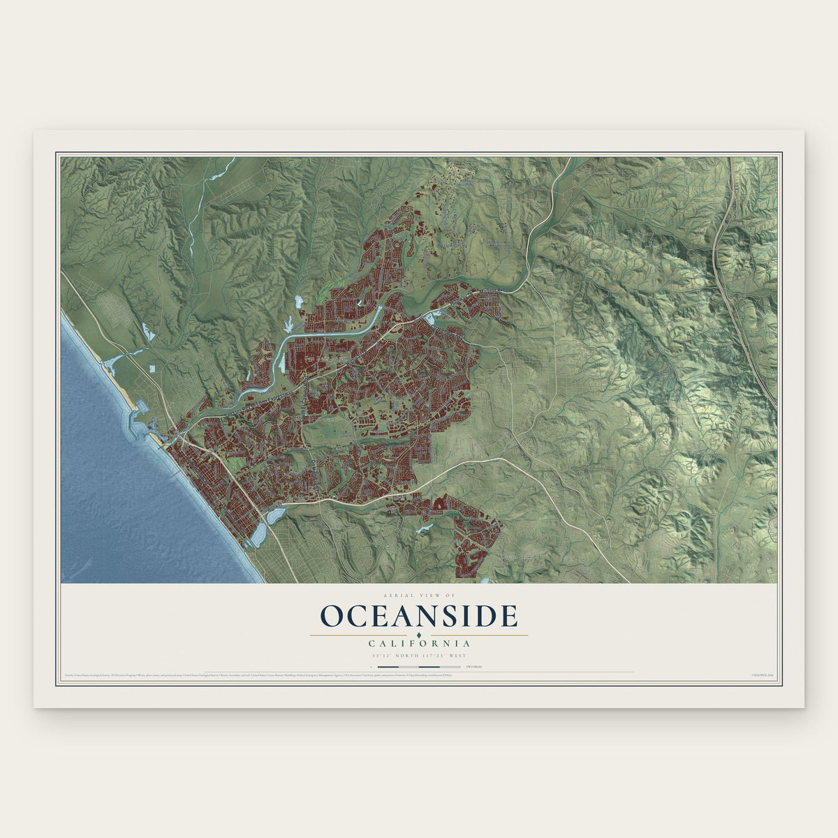
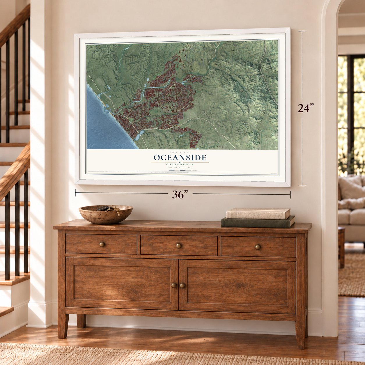
Oceanside, California Map Art
A new map of Oceanside, California, made in 2026 and printed to order on thick archival matte paper.
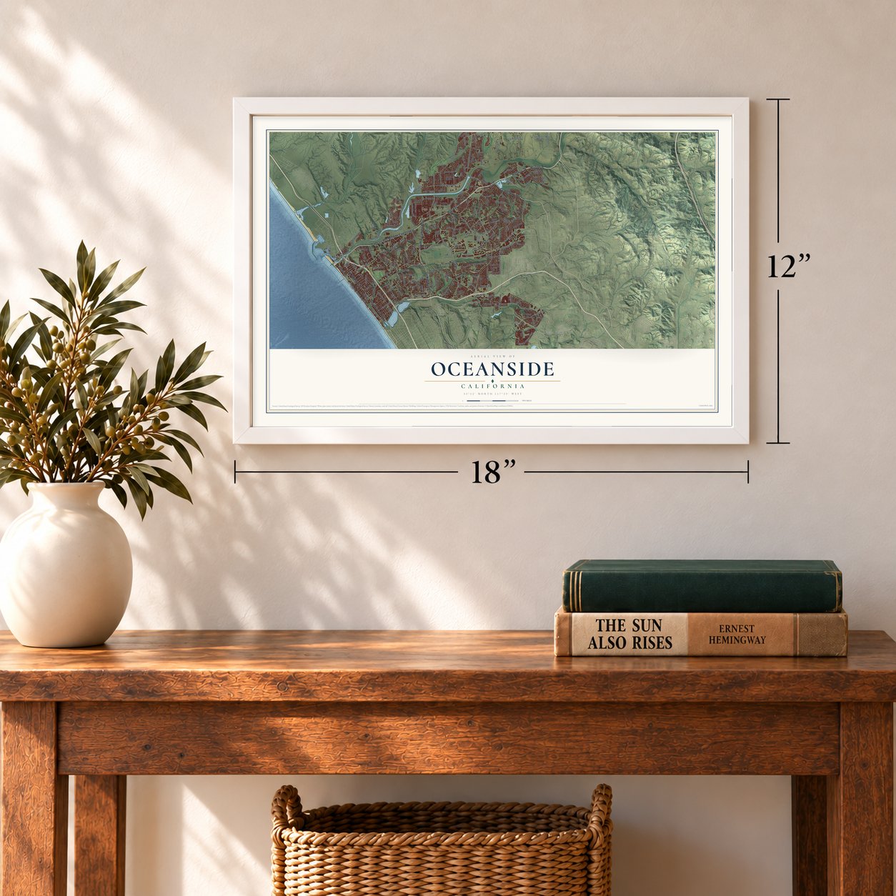
12" x 18" Archival Matte Print
A Map of Home. A Work of Art.
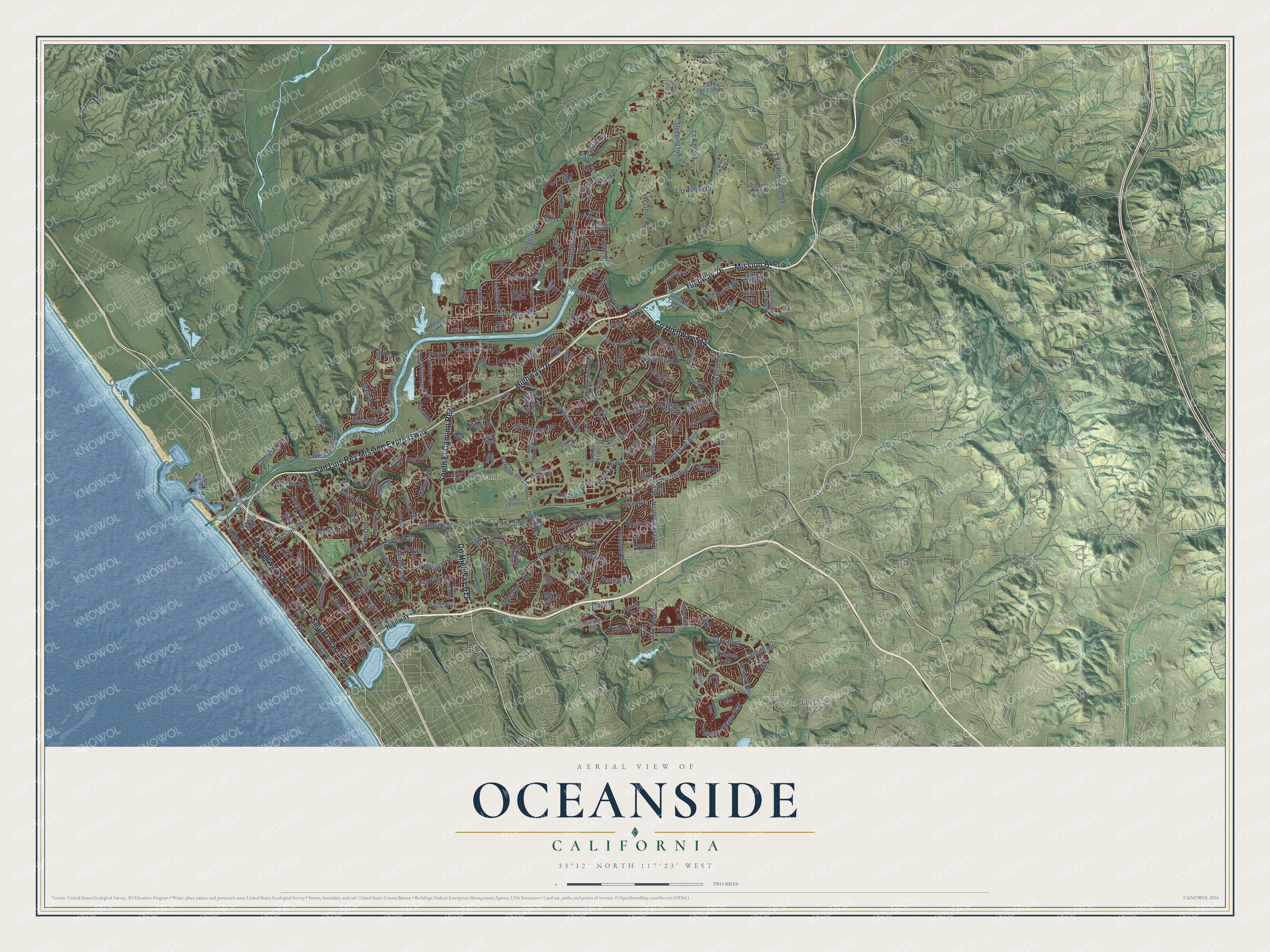
Explore Oceanside, California from a whole new perspective. Created using aerial imagery and detailed geographic data, this map captures Oceanside building by building, with labeled streets, familiar landmarks, and shaded topographical relief that highlights the natural contours of the landscape.
Combining modern data with the timeless character of a vintage atlas, this map is just as interesting up close as it is beautiful on the wall. Whether you grew up in Oceanside, spent memorable years there, or call it home today, this unique map is a great way to celebrate a place that means something to you. Zoom in on the preview to look for your street, and then order a print to put your memories on the wall.
Three ways to hang it
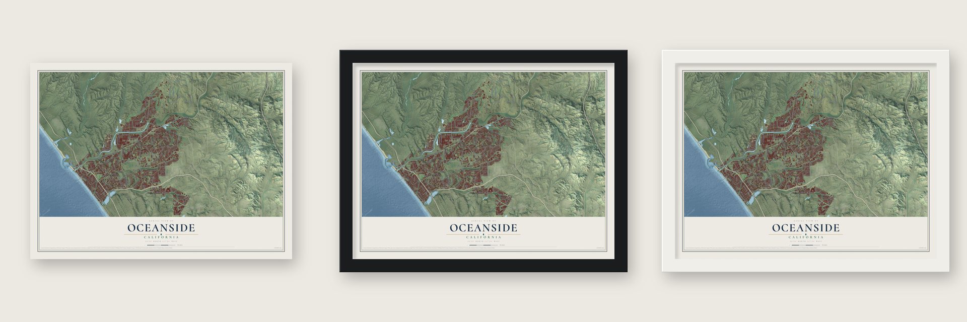
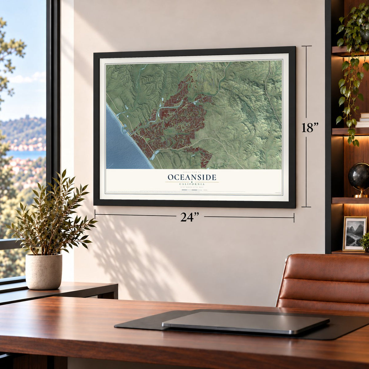
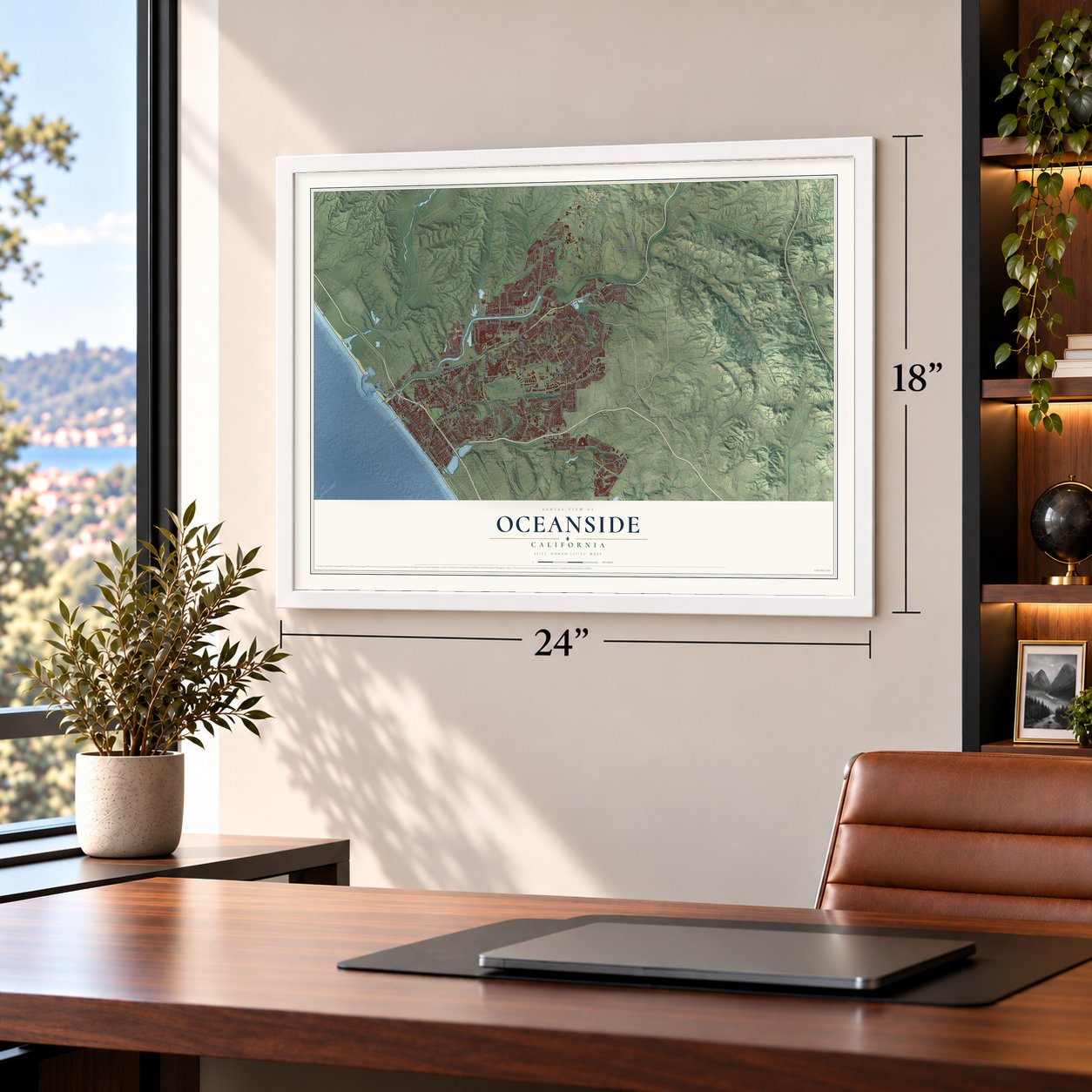
Unframed archival matte, a black wood frame or a white wood frame.
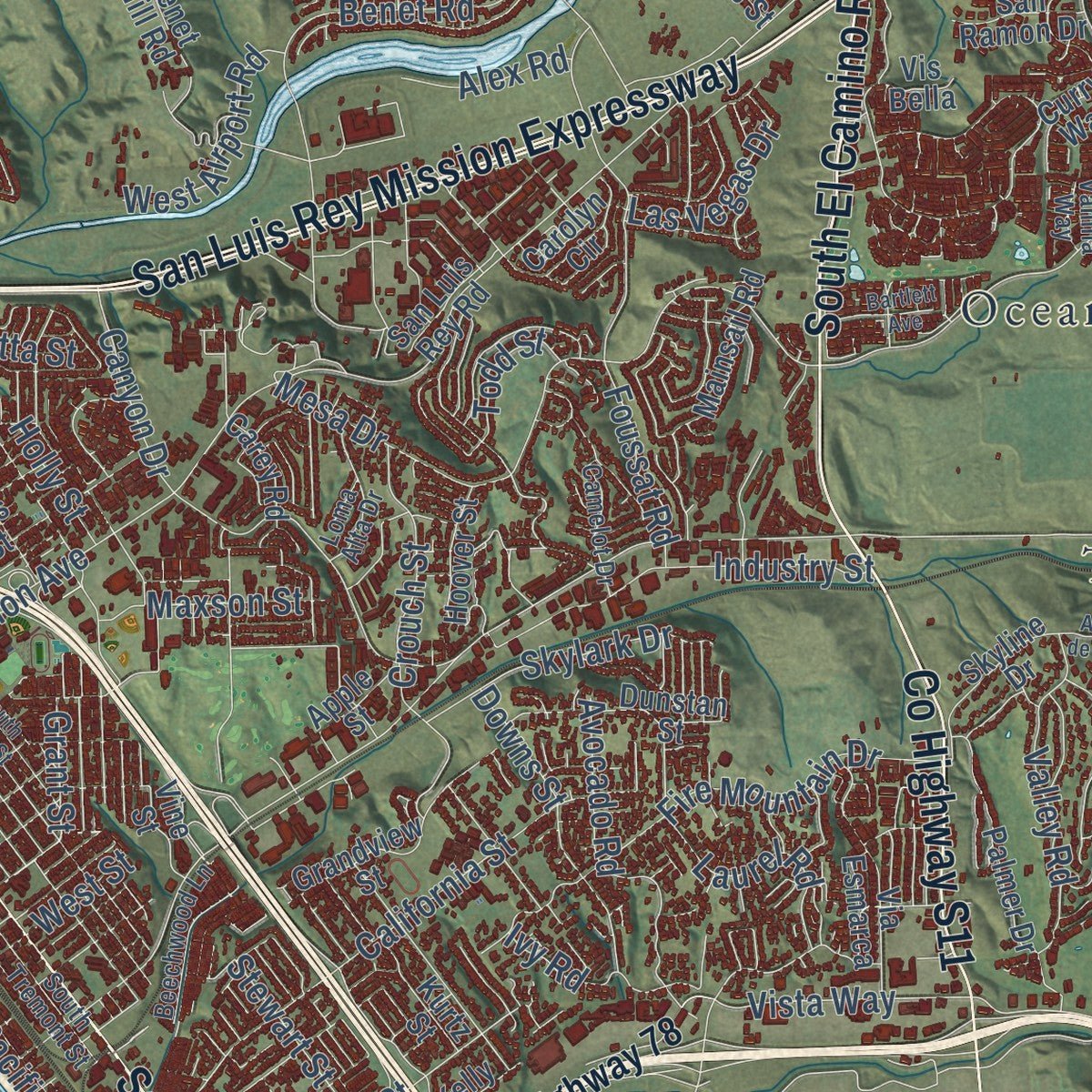
Up close
Geography Worth Displaying
This map was created using accurate cartographic data and authoritative geographic sources, including the U.S. Geological Survey and the Census Bureau. The map brings together terrain, waterways, roads, and building detail. The majority of the streets are labeled, houses are accurately depicted, and the topography is derived from government sources. Combining local data with carefully composed color and shading leads to this beautifully detailed Oceanside artwork for your wall.
Rather than simply showing street outlines, we’ve included as many of the street names as we could reasonably fit on the map while keeping their names legible. Zoom in on the high resolution preview to see exactly what’s on the map. We truly set out to create a statement piece for anyone who loves Oceanside. So whether it’s for you, or a gift for someone you love, we hope this map of Oceanside brings back fond memories.
Read the story behind this map of Oceanside, California from 2026.

About Oceanside, California
Oceanside is a city of 174,068 people in San Diego County, the largest in the North County region. Long before Europeans arrived, Luiseño people, who call themselves Payomkawichum, lived along the San Luis Rey River in villages such as Qée'ish and Wiyóoya, which sat where the river meets the sea. Spanish explorers passed through in 1769, and in 1798 Fermín de Lasuén founded Mission San Luis Rey de Francia beside the river.
Under Spain the mission grew into the largest in California. Mexico took over the missions in 1833, and soldiers removed Padre Antonio Peyrí, who had led San Luis Rey for 34 years. Captain Pablo de la Portillà took charge, but relations with the Luiseños broke down, and in 1835 they refused to work for him. The mission community then declined. After the American conquest the old mission lands became a resort on the ocean, and Oceanside was incorporated on July 3, 1888.
“Its early inhabitants were composed largely of a group of English gentry who had first settled in the San Luis Rey Valley four miles inland.”
- Myers's homestead, 1882Andrew Jackson Myers, who had come west from Illinois, moved onto the land of the original townsite in 1882, and the federal government granted him a patent for it in 1883. Because he held the first land and reportedly put up the first house, he is remembered as the founder of Oceanside. Today the city hall stands on his old homestead.
- A pier since 1888Oceanside built its first pier in 1888, the same year it became a city. The pier has since been rebuilt five times, and its sixth version reaches 1,942 feet out from the beach, among the longest wooden piers on the West Coast.
- Air Mail, painted in 1937In 1937 the artist Elsie Seeds painted Air Mail, an oil-on-canvas mural, for the town's post office. It came from the Treasury Department's Section of Painting and Sculpture, which paid for murals in federal buildings across the country from 1934 to 1943.
- Surf contests since 2007Every year since 2007 Oceanside has hosted the Super Girl Pro Festival, called the largest surf competition in the world. The town's surfing story is also told downtown at the California Surf Museum.
Find your street
Names on the Oceanside map
Every name below is printed on this map. Look for your street, your school, the park where you played, or the pond down the road.
Places and landmarks4
- Ocean Hills
- Oceana
- San Luis Rey
- Talich
Streets and roads226
- Mission Avenue
- County Highway S14
- San Luis Rey Mission Expressway
- Highway 76
- County Highway S11
- South El Camino Real
- County Highway S21
- South Coast Highway
- North Avenue
- North Emerald Drive
- Oceanside Boulevard
- Mesa Drive
- College Boulevard
- North River Road
- Vista Way
- Douglas Drive
- Old Grove Road
- Sleeping Indian Road
- Avenue de la Plata
- Wilshire Road
- Lake Boulevard
- Rancho del Oro Drive
- Frazee Road
- Leisure Village Way
- South Pacific Street
- Benet Road
- Via Rancho Road
- Pala Road
- Village Drive
- Canyon Drive
Show all 226 streets
- Vandegrift Boulevard
- Fire Mountain Drive
- Melrose Drive
- Darwin Drive
- California Street
- Thunder Drive
- Cannon Road
- Ivy Road
- Rivertree Drive
- Stewart Street
- Shadow Tree Drive
- Cassidy Street
- Capistrano Drive
- Foussat Road
- Sagewood Drive
- Downs Street
- Crouch Street
- Industry Street
- Papagallo Drive
- North Pacific Street
- Avocado Road
- Los Arbolitos Boulevard
- Cameo Drive
- Laurel Road
- Olive Avenue
- Sky Haven Lane
- Old Ranch Road
- Via Puerta del Sol
- Gallery Drive
- Valley Road
- West Airport Road
- Roselle Street
- Loretta Street
- Skylark Drive
- Waring Road
- Luna Drive
- Pacific Terrace
- Leon Street
- Maxson Street
- Las Vegas Drive
- La Paloma
- Las Tunas Drive
- Holly Street
- Festival Drive
- Alex Road
- Plaza Drive
- Wooster Drive
- West Street
- Snead Drive
- Todd Street
- Rose Drive
- Alto Street
- Grant Street
- Flora Drive
- Roja Street
- Highway 78
- Emerald Drive
- Rancho del Oro Road
- Guajome Lake Road
- Barnard Drive
- Bella Collina Street
- Temple Heights Drive
- Ocean Ranch Bl
- Precious Hills Road
- Benet Hill Road
- Kelly Street
- Marblehead Bay Drive
- Arthur Avenue
- North Harbor Drive
- Avenue del Oro
- Spur Avenue
- Silver Bluff Drive
- Havenwood Drive
- Thomas Street
- Mission Gate Drive
- Grandview Street
- Fredricks Avenue
- Grove View Road
- Palmer Drive
- Jeffries Ranch Road
- Via Esmarca
- Dunstan Street
- Belmont Park Road
- Neptune Way
- Kurtz Street
- Vis Bella
- Hoover Street
- Mira Pacific Drive
- Masterpiece Drive
- North Coast Highway
- Cll Buena Ventura
- Mainsail Road
- Shadowridge Drive
- Chasin Street
- Skyline Drive
- Fireside Street
- Glenhaven Drive
- Lonnie Street
- Parkview Drive
- San Luis Rey Road
- Carolyn Circle
- Lassen Drive
- Woodhaven Drive
- Siesta Drive
- Gardenia Street
- Stanford Drive
- Bliss Circle
- Cranberry Street
- Ivey Ranch Road
- Puerta de Lomas
- Shire Avenue
- Luiseno Avenue
- Peyri Drive
- Manteca Drive
- Teal Way
- Oceanic Drive
- San Ramon Drive
- Carey Road
- Whalen Lake Road
- Tyler Street
- Curry Way
- Marron Road
- Par Drive
- Via Cibola
- Avenue Sevilla
- Vine Street
- Ridge Road
- Apple Street
- Cll Goya
- Puls Street
- Lincoln Street
- Cll de Retiro
- Bonita Drive
- Via Largo
- Via Manos
- Oriole Lane
- Lee Drive
- The Strand South
- South Tremont Street
- Peacock Boulevard
- Marvin Street
- Sunningdale Drive
- Senior Center Drive
- Nighthawk Way
- Galicia Way
- Weymouth Way
- Wala Drive
- Avenue Oceano
- Beechwood Lane
- Old River Street
- Cll Ultimo
- North Horne Street
- Loma Alta Drive
- Cll Las Casas
- Robinwood Drive
- Camelot Drive
- Yuma Avenue
- Cll Arquero
- Carr Drive
- Muirwood Drive
- Cerro Avenue
- Coronado Drive
- Barry Street
- Bahia Lane
- Polk Street
- Rainier Way
- Estada Drive
- Vanilla Way
- Belize Way
- Point Sur
- Sunset Drive
- South Horne Street
- Cll Montecito
- Buena Hills Drive
- Avenue de Loyola
- Cordoba Way
- Serena Avenue
- Wendela Street
- Bartlett Avenue
- Pacifica Way
- Allende Avenue
- Via Lucero
- Indian View Drive
- Godwit Drive
- Willow Walk Road
- Palermo Drive
- Corinthia Way
- Stallion Drive
- Muirfield Drive
- Sunridge Drive
- Via Rio Avenue
- Apache Street
- Brisas Street
- Craven Road
- Mystra Way
- Forest Road
Names are listed as they appear on the printed map. Zoom into the product photos to find them.
The art of mapping a place
How This Map Was Made
Real places. Remarkable detail. Discover the layers that turn geographic data into a map of home.

The view from above
Aerial imagery reveals the character of the land: woodland, open fields, and the patterns of a place.

The shape of the land
Elevation data brings hills, valleys, and subtle changes in the landscape into view.

The details of home
Roads, waterways, and building footprints come together to make the map feel unmistakably local.

Geography becomes art
Considered color, shading, and typography bring the layers together in a map made for your wall.


Process illustrated with Mendon, Massachusetts. Aerial imagery: USDA NAIP. Terrain: USGS 3D Elevation Program. Map details and finished artwork: KNOWOL.
The Details
About This Print
Choose an archival matte print, or a black or white Ayous wood frame. The archival matte print is unframed.
Select your size and finish above to see the matching product image and price.
Materials & Craftsmanship
A contemporary map with the character of a classic atlas, printed on archival matte paper. Optional frames are made from Ayous wood.
Your printed map does not include the watermark shown in the full-map preview.
Shipping & Delivery
Free shipping within the United States. Every print is made to order in the USA.
Buying a gift? Add a note in your cart and we'll include it. We never put prices in the package.
Prints ship within 2 to 3 business days. Allow 7 to 10 days total from ordering for delivery. Timing may vary during holidays or periods of high order volume.
Read our shipping policy.
Returns and damaged prints
Each print is made to order. Change-of-mind refunds are not available after production.
If your print arrives damaged, misprinted or incorrect, contact support@knowol.com within 30 days of receiving it. Include your order number, photos and a description of the issue.
Read our full refund and replacement policy. For questions about your order, email support@knowol.com.
Find your town
Looking for another city?
Find a map of home in our California collection, or any town in the country.
Nearby
Maps of towns near Oceanside
Know someone from one of these towns? Their map makes a great gift.
 Vista
Vista, California
From $39.99See the map
 Camp Pendleton South
, California
From $39.99See the map
 Camp Pendleton Mainside
, California
From $39.99See the map
More maps nearby: Carlsbad, Bonsall, Lake San Marcos, San Marcos and Hidden Meadows.