
Search for another town
Free U.S. delivery 7 to 10 days after you order
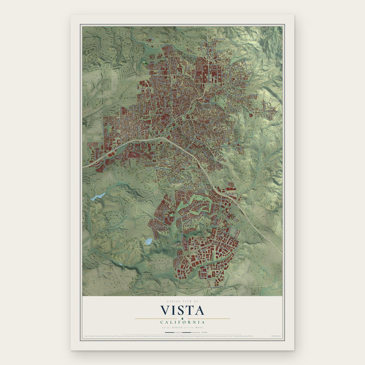
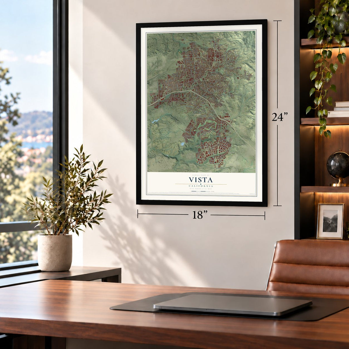
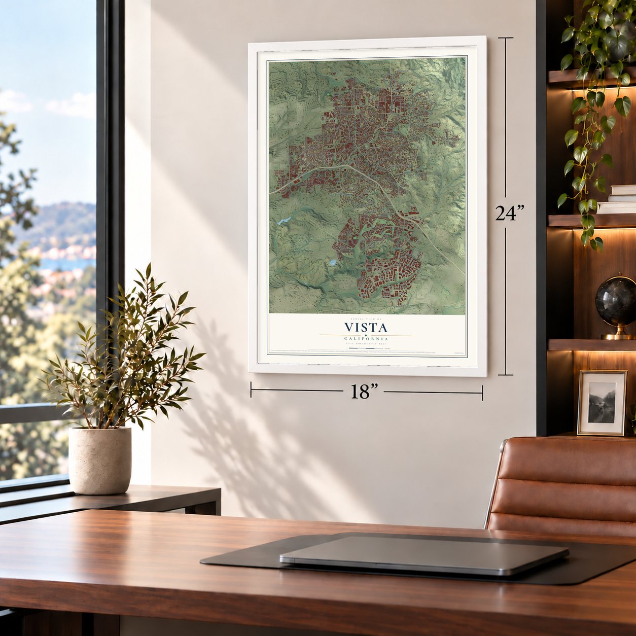
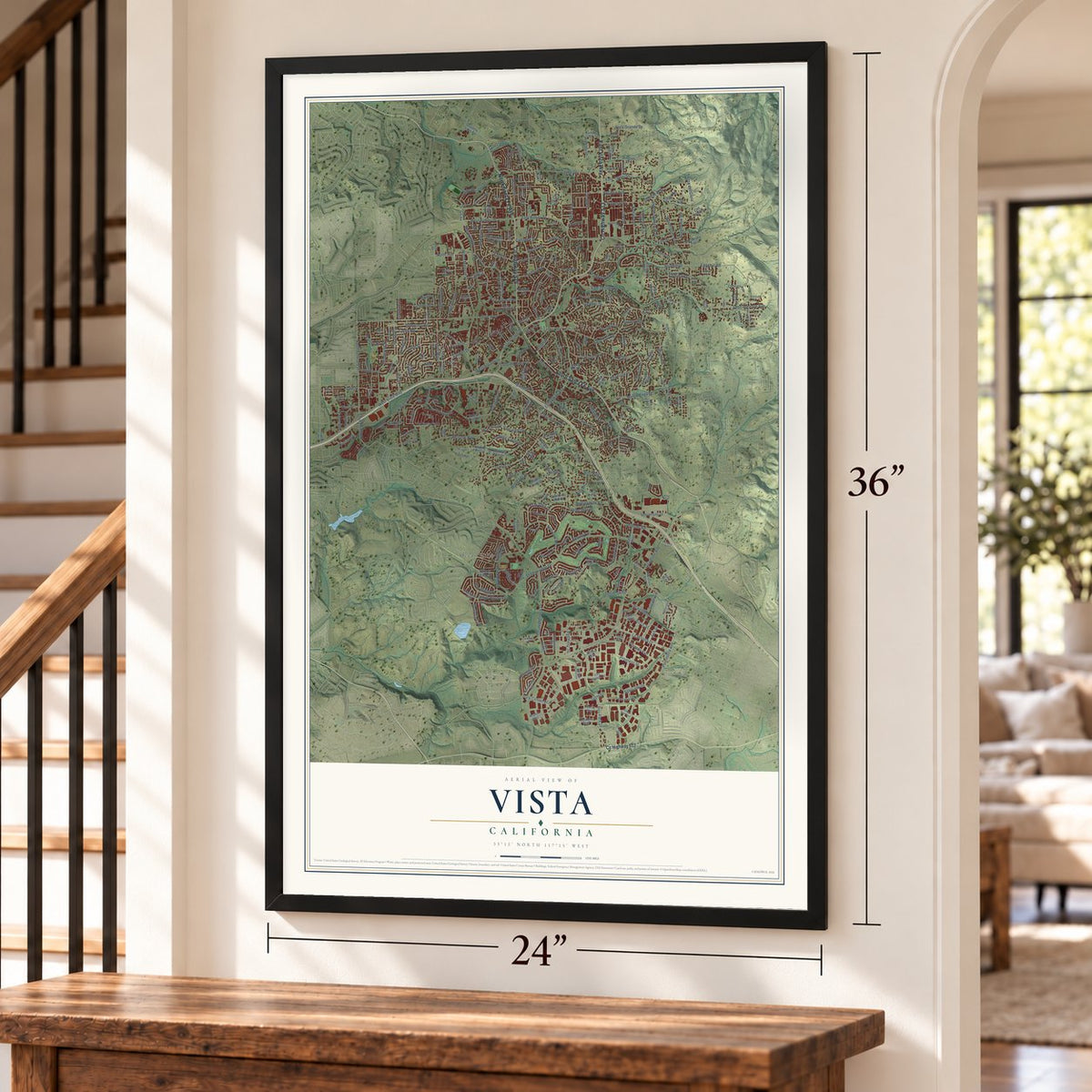
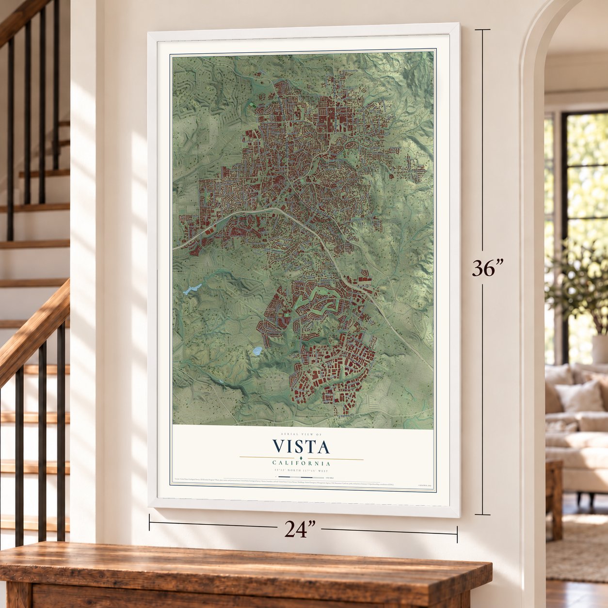
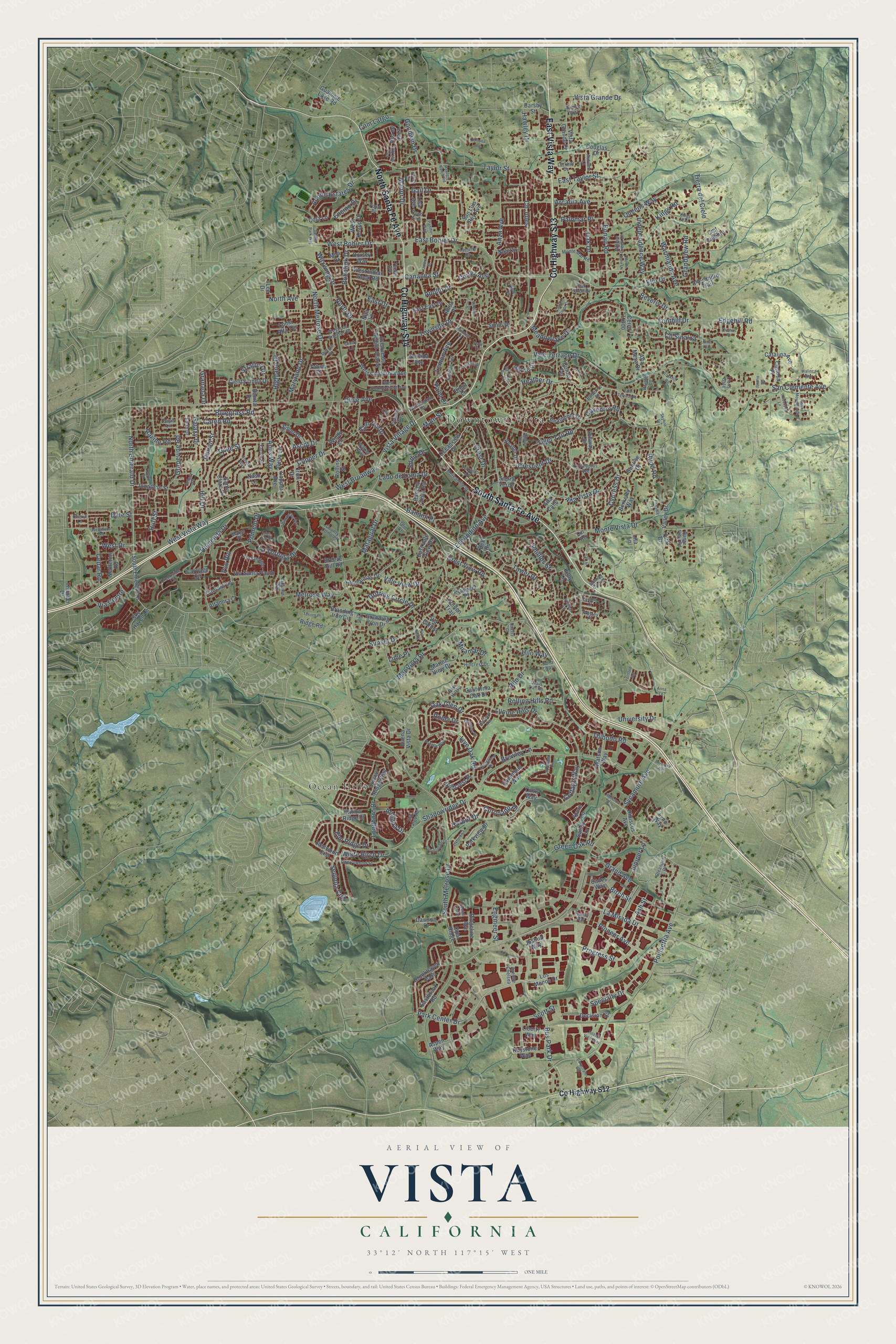
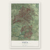
Vista, California Map Art
Building by building, with labeled streets and shaded relief.
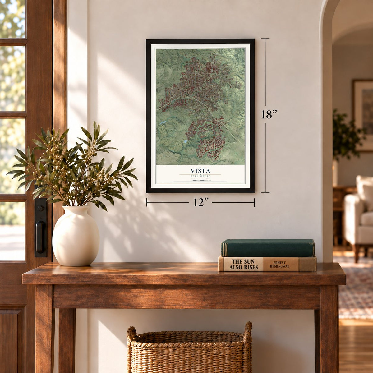
12" x 18" Archival Matte Print
A Map of Home. A Work of Art.
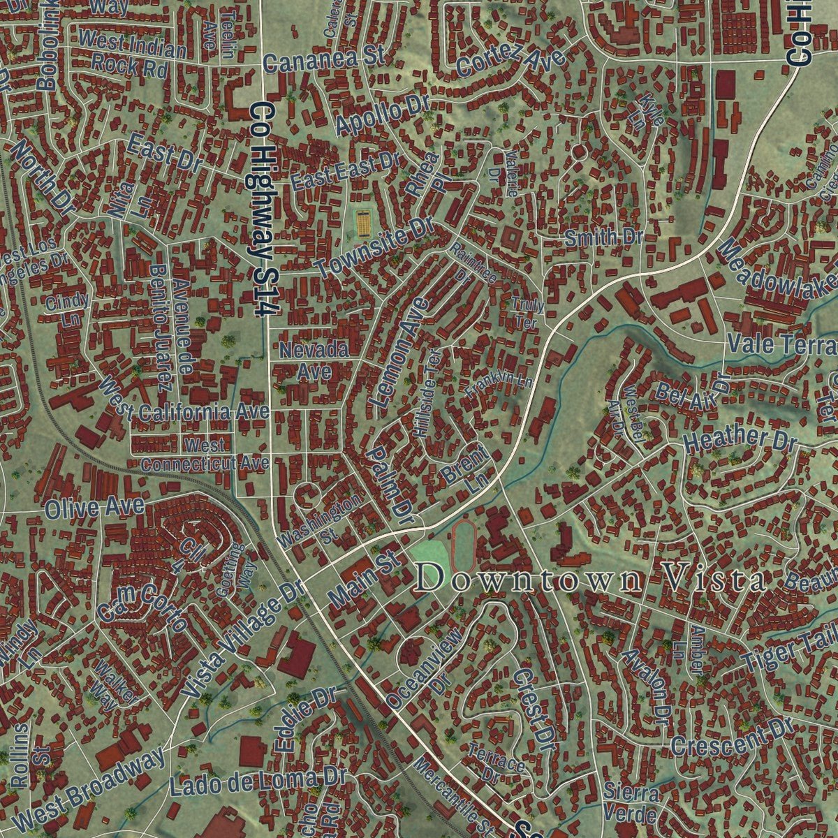
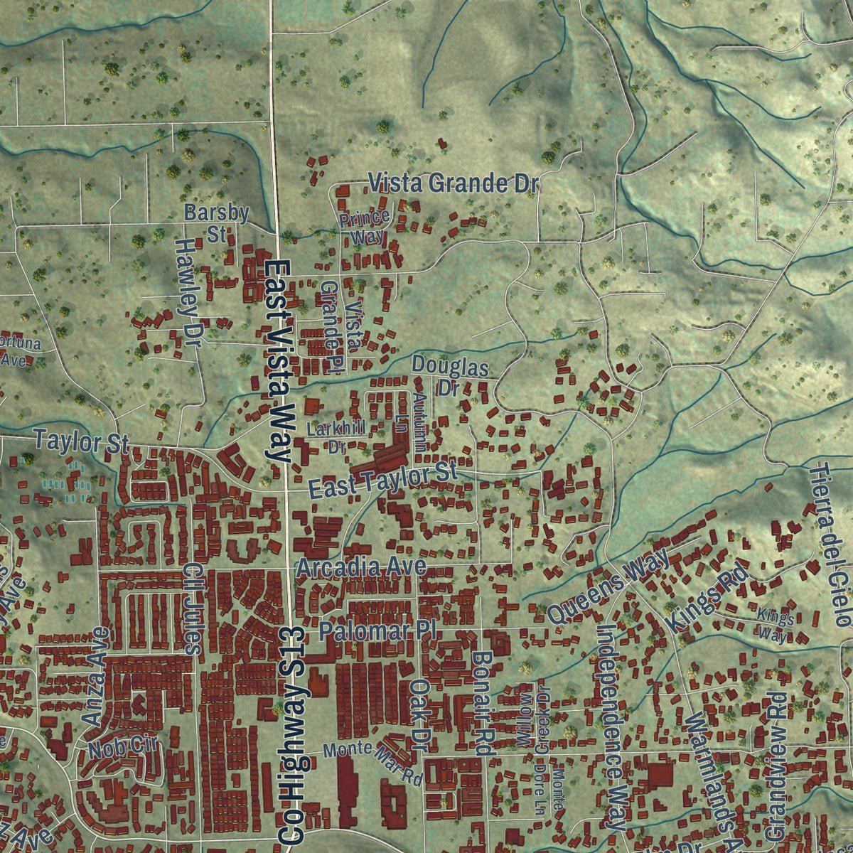
Explore Vista, California from a whole new perspective. Created using aerial imagery and detailed geographic data, this map captures Vista building by building, with labeled streets, familiar landmarks, and shaded topographical relief that highlights the natural contours of the landscape.
Combining modern data with the timeless character of a vintage atlas, this map is just as interesting up close as it is beautiful on the wall. Whether you grew up in Vista, spent memorable years there, or call it home today, this unique map is a great way to celebrate a place that means something to you. Zoom in on the preview to look for your street, and then order a print to put your memories on the wall.
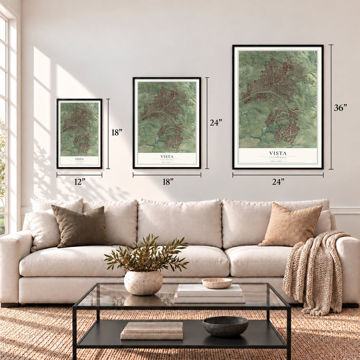
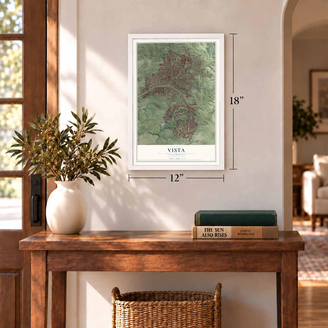
Three ways to hang it
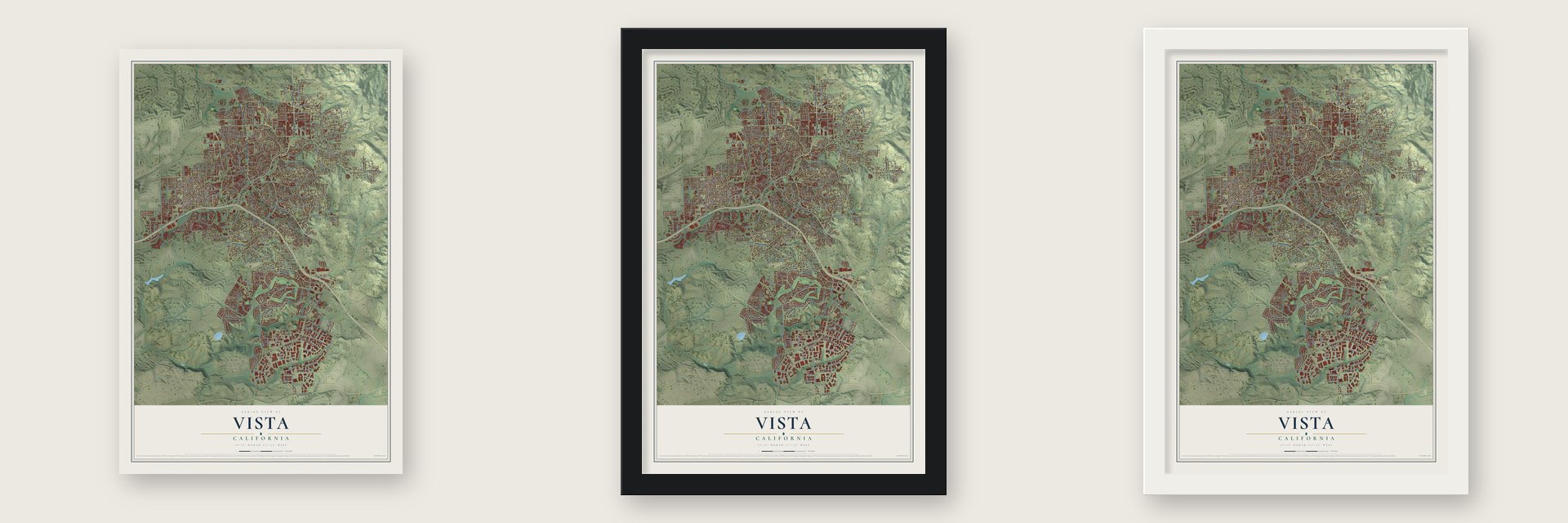
Unframed archival matte, a black wood frame or a white wood frame.
Up close
Geography Worth Displaying
This map was created using accurate cartographic data and authoritative geographic sources, including the U.S. Geological Survey and the Census Bureau. The map brings together terrain, waterways, roads, and building detail. The majority of the streets are labeled, houses are accurately depicted, and the topography is derived from government sources. Combining local data with carefully composed color and shading leads to this beautifully detailed Vista artwork for your wall.
Rather than simply showing street outlines, we’ve included as many of the street names as we could reasonably fit on the map while keeping their names legible. Zoom in on the high resolution preview to see exactly what’s on the map. We truly set out to create a statement piece for anyone who loves Vista. So whether it’s for you, or a gift for someone you love, we hope this map of Vista brings back fond memories.
Read the story behind this map of Vista, California from 2026.
Find your street
Names on the Vista map
Every name below is printed on this map. Look for your street, your school, the park where you played, or the pond down the road.
Places and landmarks2
- Downtown Vista
- Ocean Hills
Streets and roads343
- East Vista Way
- South Santa Fe Avenue
- County Highway S13
- County Highway S14
- North Santa Fe Avenue
- Alta Vista Drive
- Hacienda Drive
- Foothill Drive
- Sunset Drive
- Escondido Avenue
- East Bobier Drive
- North Emerald Drive
- Vista Village Drive
- West Bobier Drive
- North Avenue
- Park Center Drive
- East Taylor Street
- Pso Rio
- South Melrose Drive
- Sycamore Avenue
- Shadowridge Drive
- West Vista Way
- Lupine Hills Drive
- Warmlands Avenue
- Olive Avenue
- Mar Vista Drive
- North Melrose Drive
- Phillips Street
- Vale Terrace Drive
- Poinsettia Avenue
Show all 343 streets
- Thibodo Road
- Bus Park Drive
- Taylor Street
- Oak Drive
- Lado de Loma Drive
- Monte Vista Drive
- Grapevine Road
- Anza Avenue
- Live Oak Road
- Maryland Drive
- Vale View Drive
- La Mirada Drive
- Cll Jules
- Green Oak Road
- Pomelo Drive
- Goodwin Drive
- Cypress Drive
- Vista Grande Drive
- Arcadia Avenue
- Durian Street
- University Drive
- Bonair Road
- Townsite Drive
- Crest View Road
- Highland Drive
- Anns Way
- San Clemente Avenue
- White Birch Drive
- La Tortuga Drive
- Scott Street
- Longhorn Drive
- Date Street
- Melrose Way
- Rudd Road
- Miramar Drive
- Brewley Lane
- Progress Street
- Tierra del Cielo
- West Broadway
- Adobe Estates Drive
- Beverly Drive
- Huff Street
- Grand Avenue
- Independence Way
- Cedar Road
- Ravine Road
- Tylee Street
- Bobolink Drive
- Copper Drive
- Gail Drive
- Matagual Drive
- Crescent Drive
- Palomar Place
- Hill Drive
- Oak Glen Drive
- Harbor Drive
- Drifting Circle Drive
- Tower Drive
- Manor Drive
- Sequoia Crst
- Main Street
- Apollo Drive
- Bluegrass Road
- Hilo Way
- East Drive
- Specialty Drive
- Elm Drive
- Hawley Drive
- Rolling Hills Road
- Meadowlake Drive
- Grandview Road
- Caren Road
- Bandini Place
- Via Centre
- Lemon Avenue
- Kings Road
- Palm Drive
- Antigua Drive
- Waxwing Drive
- Cananea Street
- Elm Ridge Drive
- Hilo Drive
- Queens Way
- Stratton Drive
- Coventry Road
- Tiger Tail Road
- Cottage Way
- Engineer Street
- Cam Largo
- Cortez Avenue
- Coronado Place
- Galaxy Drive
- Pioneer Avenue
- Crest Drive
- Cam Corto
- Edgehill Road
- Cll Sinaloa
- North Drive
- Lime Place
- West Drive
- Ascot Drive
- Roma Drive
- Granada Drive
- Juniper Lane
- Eddie Drive
- Heather Drive
- Encino Drive
- Birch Street
- Ash Street
- County Highway S12
- East Vale View Drive
- South Emerald Drive
- Hibiscus Avenue
- Nettleton Road
- Nash Lane
- Oceanview Drive
- Beaumont Drive
- Santa Clara Drive
- West California Avenue
- Buena Vista Drive
- Avalon Drive
- Breeze Hill Road
- San Luis Rey Avenue
- Brookhaven Pass
- West Knapp Drive
- Via Santa Paulo
- Catalina Avenue
- Cielita Linda Drive
- Golfcrest Place
- Valley Drive
- Dawson Drive
- Rancho Vista Road
- Watson Way
- Opal Ridge
- Columbus Way
- Redwood Crst
- West Indian Rock Road
- Avenue de Benito Juarez
- Nob Circle
- Smith Drive
- Sunrise Drive
- Prospect Place
- Willow Ridge Drive
- Jonathon Street
- Eastbrook Road
- Crystal Ridge Way
- Carriage Circle
- Marine View Drive
- Alta Mesa Drive
- Delta Lane
- Allesandro Trail
- Los Monos Drive
- Bonita Drive
- Guajome Lake Road
- Dorsey Way
- East East Drive
- Branding Iron Drive
- Ridge Road
- Parkview Drive
- Las Palmas Drive
- Berkeley Way
- California Oak Drive
- York Drive
- Cerro Lindo
- Carioca Place
- Keystone Way
- Loma Alta Terrace
- Nevada Avenue
- Colina Terrace
- Bel Air Drive
- Windy Lane
- Decision Street
- Sierra Verde
- Cantara Lane
- Silver Drive
- Pso de Anza
- Alta Calle
- Links Way
- Sandy Lane
- Cades Way
- Ridgeline Avenue
- Sky Haven Lane
- Altamira Court
- Cmt Culebra
- Copper Avenue
- Rollins Street
- Tatum Street
- Vista Grande Place
- Cota Lane
- Barsby Street
- Azure Lane
- Thunder Drive
- Liberty Way
- Golden Trail
- Moa Drive
- Hillway Drive
- Rhea Place
- Branding Iron Circle
- Douglas Drive
- Joshua Way
- Via Carina
- Lisa Avenue
- Aspen Way
- Kilby Lane
- Lita Lane
- Nita Lane
- Bell Road
- Lee Drive
- Lynn Way
- Iron Drive
- Lin Road
- Brent Lane
- Cll 4
- Eucalyptus Avenue
- Monte Mar Road
- West Los Angeles Drive
- Hillside Terrace
- Autumn Lane
- Mercantile Street
- Cherrywood Street
- West Connecticut Avenue
- Rush Avenue
- Via Santiago
- Yacon Street
- Creekside Lane
- Park Hill Place
- Washington Street
- Teelin Avenue
- Avenue Chelsea
- Terrace Drive
- Hillcrest Drive
- Pointer Lane
- Key Largo Road
- Willow Creek Drive
- Margo Place
- Cindy Lane
- Walker Way
- Larkhill Drive
- Oleander Place
- County Complex
- Pond Place
- Bellerive Drive
- Range View Road
- Prince Way
- Edna Way
- Pso del Rey
- Earth Drive
- Presley Place
- Oak Knoll Drive
- Amber Lane
- Cheryl Lane
- Forest Place
- Oasis Lane
- Lions Gate
- Kyle Lane
- Glin Court
- Plumosa Avenue
- Spyglass Circle
- Countryside Drive
- Vineyard Avenue
- Sports Park Way
- Longfellow Road
- Wandering Road
- Westwood Road
- Skyline Drive
- Valerie Drive
- Portofino Drive
- Fireside Lane
- Camino Ciego Court
- Bodega Way
- Yettford Road
- West Bel Air Drive
- Rockhill Road
- Vale Terrace Place
- Vista Mountain Drive
- Melrose Place
- Colusa Way
- Quails Trail Road
- Thomas Place
- Kings Way
- Fortune Way
- Tesoro Place
- Anderson Lane
- Hayden Ranch Road
- Oxford Court
- Corporate Vw
- Odysey Court
- Hibiscus Way
- Lynnette Circle
- Franklin Lane
- Laughton Way
- Island View Way
- Panther Way
- Christi Drive
- Philmar Lane
- Jewell Ridge
- Calera Street
- Goetting Way
- Jobe Hill Drive
- Raintree Drive
- Monte Dore Lane
- Morning Glory Place
- Zember Court
- Fox Drive
- Collyn Street
- Anna Lane
- Walinca Way
- Fortuna Avenue
- Cll Huerto
- Via Reata
- Truly Terrace
- Vine Circle
- Loni Lane
Names are listed as they appear on the printed map. Zoom into the product photos to find them.
About Vista, California
Vista is a city of 98,381 people in San Diego County, about 7 miles inland from the Pacific Ocean. The Luiseño people lived here first, in a village called Tovalum. Under Mexico the land was split into ranchos, including Rancho Guajome and Rancho Buena Vista. After California became a state in 1850, settlers began farming smaller plots. One of them, John A. Frazier, applied for a post office. Frazier and Buena Vista were already taken, so he chose Vista, Spanish for view, and the post office opened on October 9, 1882.
Water held the town back. Through the early 1910s Vista had fewer than 1,000 people, but in 1923 the Vista Irrigation District raised the money to bring water from Lake Henshaw. The 1939 state guide dates the town's growth from 1926, when that water arrived. Farms soon grew citrus, tomatoes, celery and above all avocados, and by the late 1940s Vista called itself the avocado capital of the world. Homes replaced many farms after World War II, and Vista became a city on January 28, 1963.
- Delpy Corners winery, 1886Bernard Delpy came from France in 1870 and built up the crossroads at today's East Vista Way and Foothill Drive, a spot that became known as Delpy Corners. His nephew, Jules Jacques Delpy, arrived in 1879, and together they put several hundred acres into vineyards. Their winery, opened in 1886, is called the first successful one in the country, and it ran until Prohibition shut it down.
- The Santa Fe line in 1890The Santa Fe Railway finished its branch between Oceanside and Escondido in 1890, and a store went up at Vista along the new line. When the state guide described the town in 1939, it listed Vista at 330 feet above sea level with 544 people.
Keep exploring California
Vista is one of 1,990 California towns we've mapped. Every dot on the map is a print of its own.
The search covers every state, California first.
Near Vista
Order 2 or more town maps and save 10%. Shown in the size and finish you picked above, so they hang as a set.
- Buena 12" x 18" / Archival Matte Print $39.99
- Oceanside 12" x 18" / Archival Matte Print $39.99
- Carlsbad 12" x 18" / Archival Matte Print $39.99
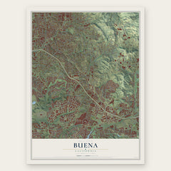
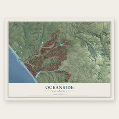
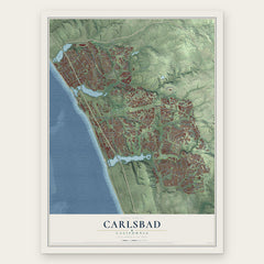
More maps nearby: Lake San Marcos, San Marcos, Bonsall, Aviara and Hidden Meadows.
The art of mapping a place
How This Map Was Made
Real places. Remarkable detail. Discover the layers that turn geographic data into a map of home.

The view from above
Aerial imagery reveals the character of the land: woodland, open fields, and the patterns of a place.

The shape of the land
Elevation data brings hills, valleys, and subtle changes in the landscape into view.

The details of home
Roads, waterways, and building footprints come together to make the map feel unmistakably local.

Geography becomes art
Considered color, shading, and typography bring the layers together in a map made for your wall.


Process illustrated with Mendon, Massachusetts. Aerial imagery: USDA NAIP. Terrain: USGS 3D Elevation Program. Map details and finished artwork: KNOWOL.
The Details
About This Print
Choose an archival matte print, or a black or white Ayous wood frame. The archival matte print is unframed.
Select your size and finish above to see the matching product image and price.
Materials & Craftsmanship
A contemporary map with the character of a classic atlas, printed on archival matte paper. Optional frames are made from Ayous wood.
Your printed map does not include the watermark shown in the full-map preview.
Shipping & Delivery
Free shipping within the United States. Every print is made to order in the USA.
Buying a gift? Add a note in your cart and we'll include it. We never put prices in the package.
Prints ship within 2 to 3 business days. Allow 7 to 10 days total from ordering for delivery. Timing may vary during holidays or periods of high order volume.
Read our shipping policy.
Returns and damaged prints
Each print is made to order. Change-of-mind refunds are not available after production.
If your print arrives damaged, misprinted or incorrect, contact support@knowol.com within 30 days of receiving it. Include your order number, photos and a description of the issue.
Read our full refund and replacement policy. For questions about your order, email support@knowol.com.