
Search for another town




Free U.S. delivery 7 to 10 days after you order
Ocoee, Florida Map Art
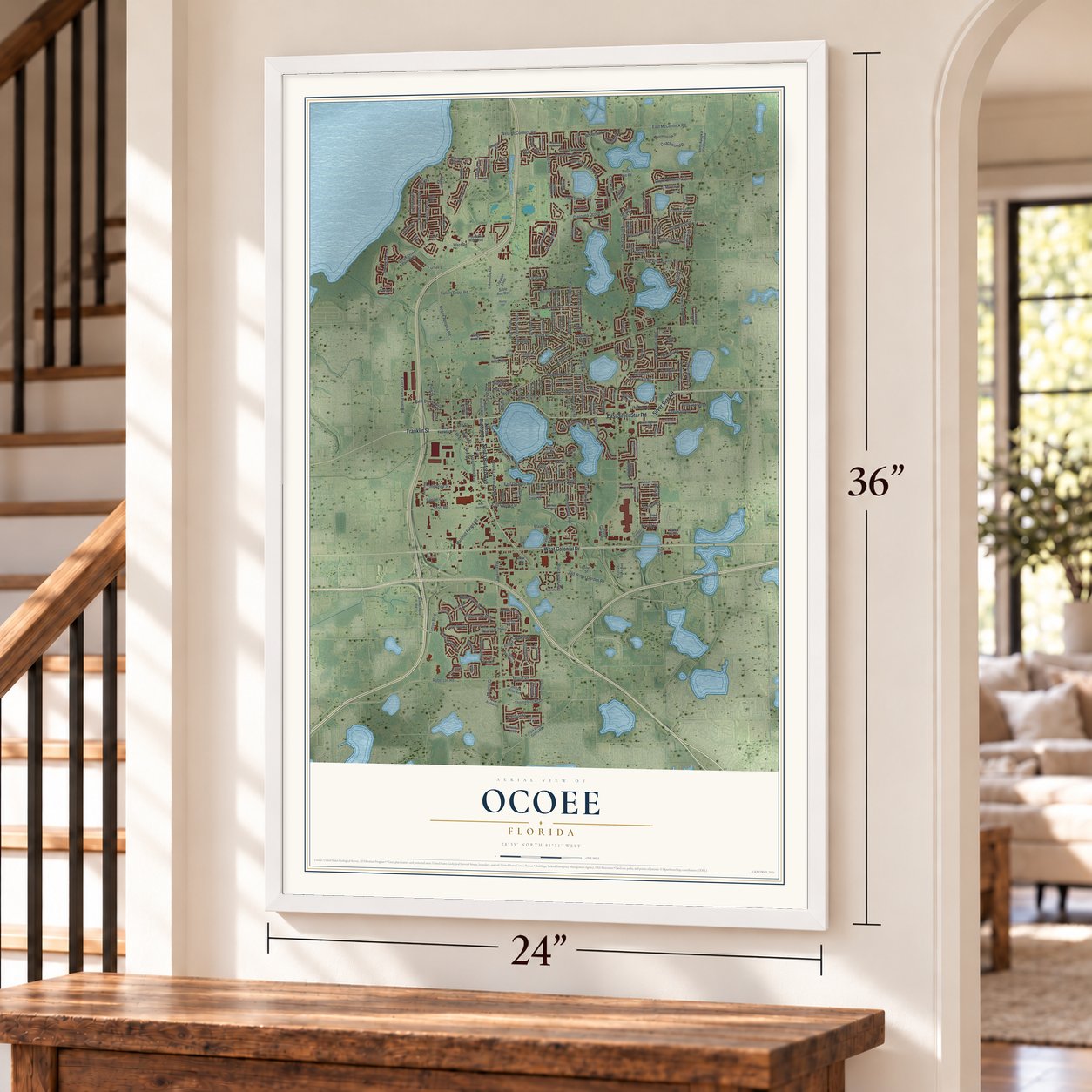
A new map of Ocoee, Florida, made in 2026 and printed to order on thick archival matte paper.
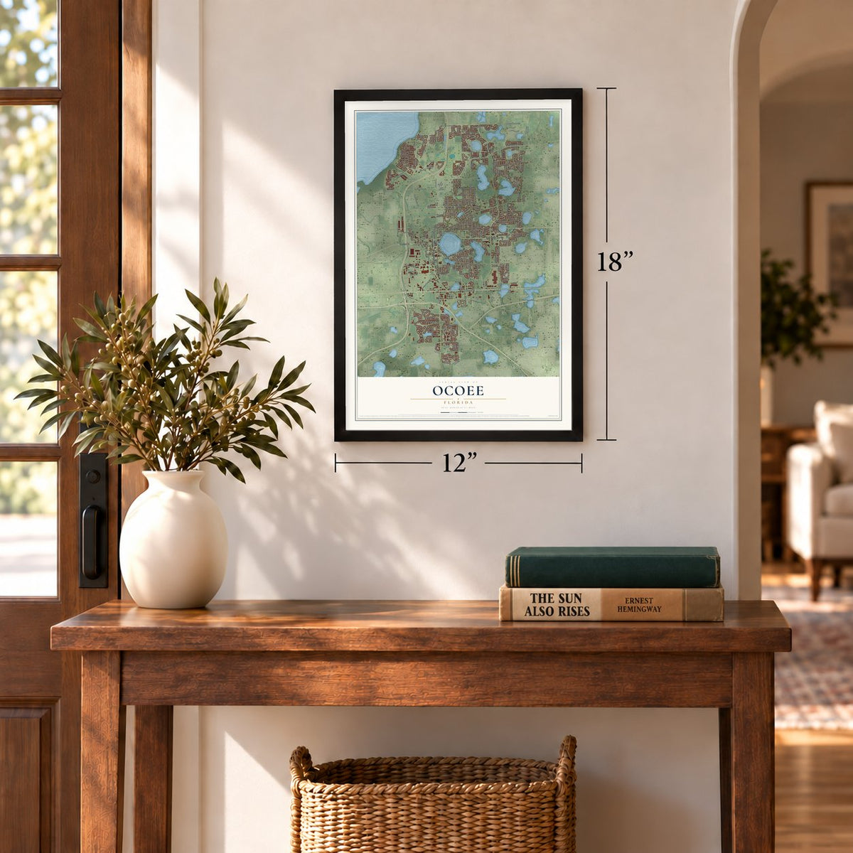
12" x 18" Archival Matte Print
A Map of Home. A Work of Art.
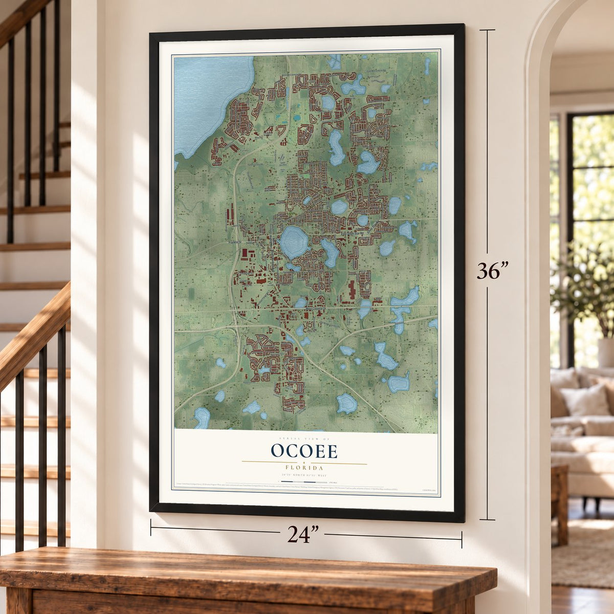
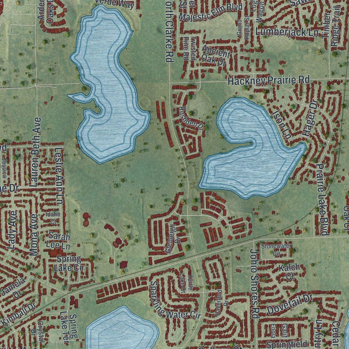
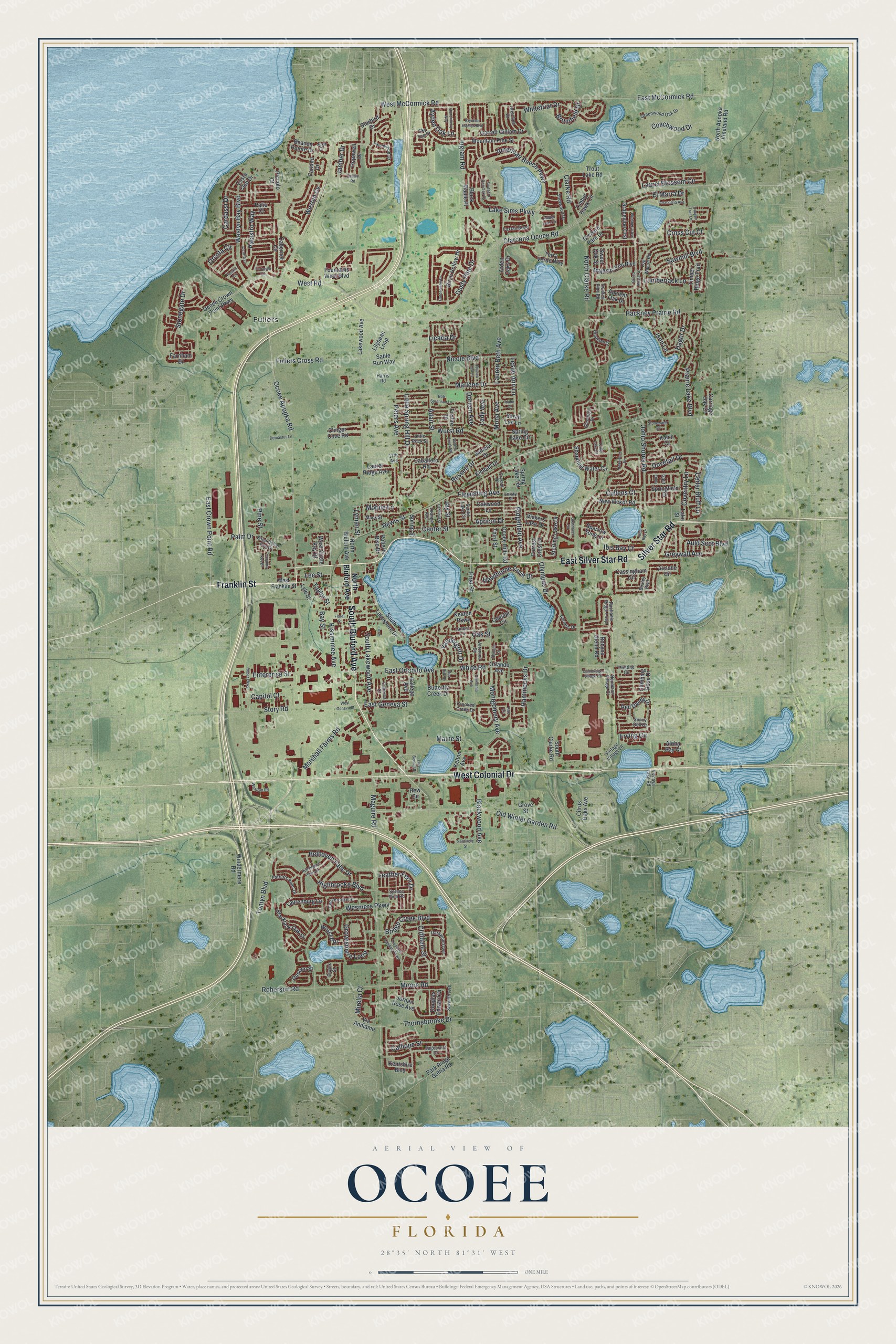
Explore Ocoee, Florida from a whole new perspective. Created using aerial imagery and detailed geographic data, this map captures Ocoee building by building, with labeled streets, familiar landmarks, and shaded topographical relief that highlights the natural contours of the landscape.
Combining modern data with the timeless character of a vintage atlas, this map is just as interesting up close as it is beautiful on the wall. Whether you grew up in Ocoee, spent memorable years there, or call it home today, this unique map is a great way to celebrate a place that means something to you. Zoom in on the preview to look for your street, and then order a print to put your memories on the wall.
Three ways to hang it
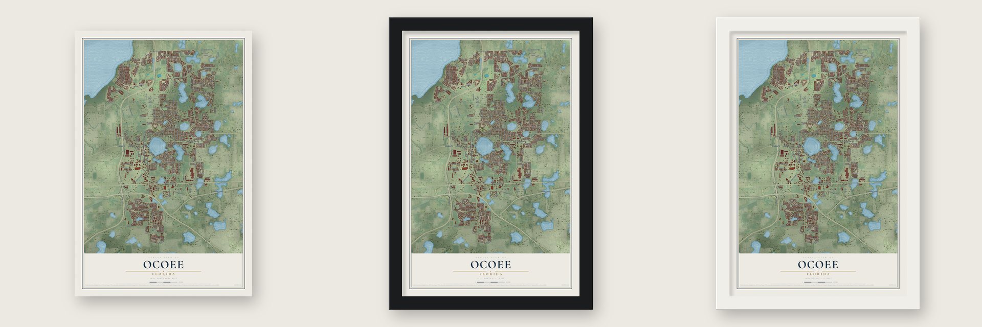
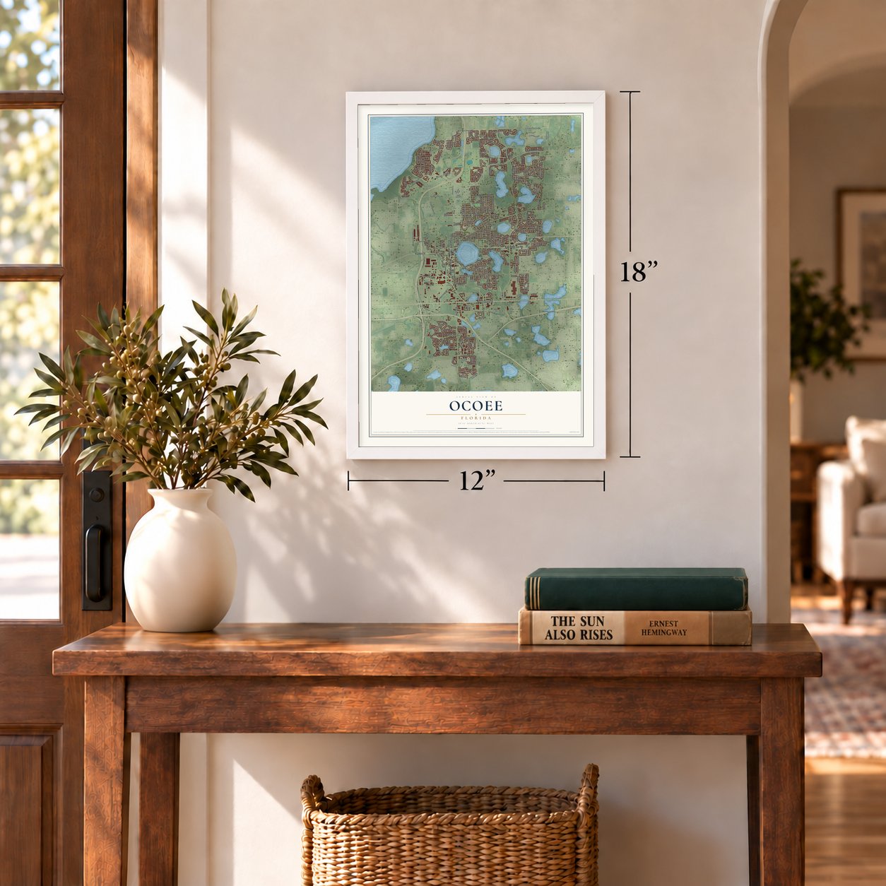
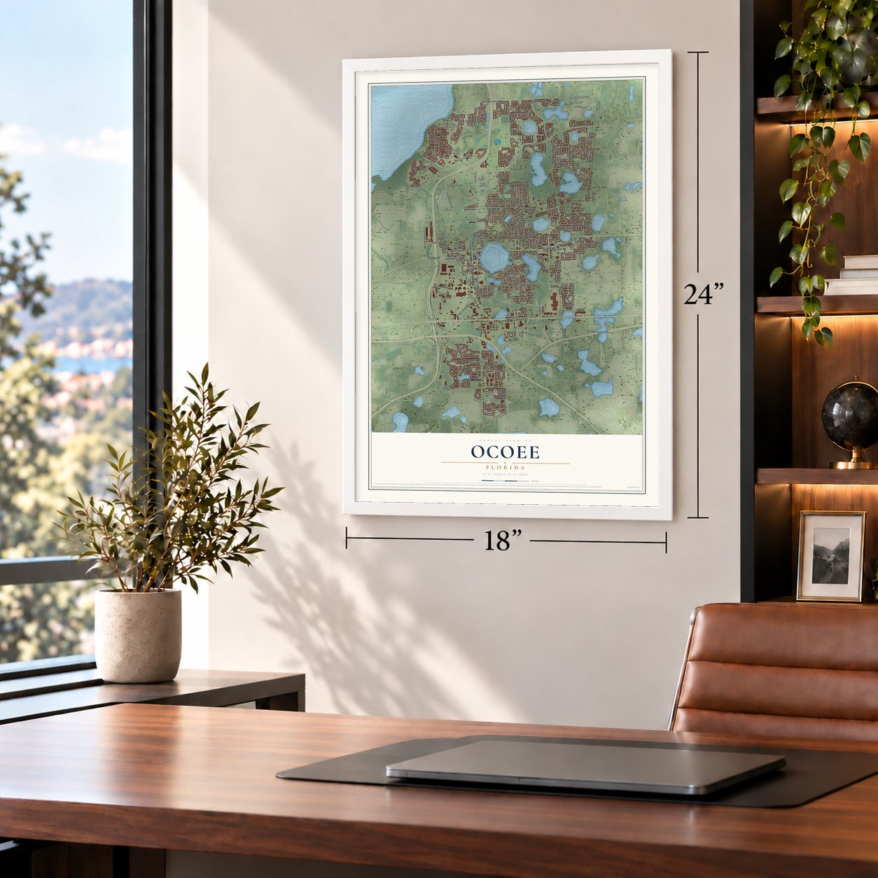
Unframed archival matte, a black wood frame or a white wood frame.
Up close
Geography Worth Displaying
This map was created using accurate cartographic data and authoritative geographic sources, including the U.S. Geological Survey (USGS) and FEMA. The map brings together terrain, waterways, roads, and building detail. The majority of the streets are labeled, houses are accurately depicted, and the topography is derived from government sources. Combining local data with carefully composed color and shading leads to this beautifully detailed Ocoee artwork for your wall.
Rather than simply showing street outlines, we’ve included as many of the street names as we could reasonably fit on the map while keeping their names legible. Zoom in on the high resolution preview to see exactly what’s on the map. We truly set out to create a statement piece for anyone who loves Ocoee. So whether it’s for you, or a gift for someone you love, we hope this map of Ocoee brings back fond memories.
Explore the full map of Ocoee, Florida and read about the local places it shows.

About Ocoee, Florida
Ocoee is a Florida community in Orange County. The 2020 census recorded 47,295 residents.
- Orange CountyOcoee is located in this Florida county.
- 47,295 residentsThe community reached this population in the 2020 census.
- Platted in 1886The community was platted in 1886.
- 15.7 square milesThis is the total area reported for the community.
Find your street
Names on the Ocoee map
Every name below is printed on this map. Look for your street, your school, the park where you played, or the pond down the road.
Places and landmarks1
- Fullers
Streets and roads269
- East Silver Star Road
- South Bluford Avenue
- West Colonial Drive
- Silver Star Road
- Franklin Street
- Old Winter Garden Road
- East Crown Point Road
- Prairie Lake Boulevard
- Fullers Cross Road
- Clarcona Ocoee Road
- Maguire Road
- North Clarke Road
- Clarke Road
- Tomyn Boulevard
- Ocoee Apopka Road
- White Road
- Westyn Bay Boulevard
- West McCormick Road
- Dusty Pine Drive
- Ingram Road
- Stonegate Drive
- Laurel Blossom Circle
- Wesmere Parkway
- Little Spring Hill Drive
- Johio Shores Road
- Montgomery Avenue
- Center Street
- Russell Drive
- West Road
- Wurst Road
Show all 269 streets
- Hackney Prairie Road
- Flewelling Avenue
- Blackwood Avenue
- Adair Street
- Sawmill Boulevard
- Roberson Road
- Lake Sims Parkway
- Marshall Farms Road
- Story Road
- Cullens Court
- Calliope Street
- South Lakewood Avenue
- Grovesmere Loop
- American Beech Parkway
- Nicole Boulevard
- Palm Drive
- Marlene Drive
- Highbrooke Boulevard
- Bridge Creek Boulevard
- Cardassi Drive
- East Orlando Avenue
- Orsota Circle
- Maine Street
- Apricot Drive
- Lady Avenue
- Rewis Street
- Enterprise Street
- Thornebrooke Drive
- Olympus Drive
- Kissimmee Avenue
- Ridgefield Avenue
- Whitefriar Drive
- Moore Road
- Belhaven Falls Drive
- Cedar Bluff Lane
- Cliffdale Street
- Ison Lane
- Hammocks Drive
- Hawthorne Cove Drive
- Leather Fern Drive
- East Geneva Street
- Jamber Drive
- Erving Circle
- Coventry Lane
- Peters Avenue
- El Marra Drive
- Palastro Way
- Coachwood Drive
- Lauren Beth Avenue
- Leslie Ann Lane
- Greywall Avenue
- Lee Street
- Doreen Avenue
- East McCormick Road
- Westyn Cv
- Pine Street
- Auld Scot Boulevard
- Mirella Court
- Lumberjack Lane
- Capitol Court
- Bromfield Drive
- Dovetail Drive
- Taylor Street
- Ayden Oak Lane
- First Street
- Vandergrift Drive
- Ibis Bay Court
- Lyman Street
- Licaria Drive
- Mona Avenue
- Mobile Lane
- Cross Cut Court
- Bay Street
- Hager Drive
- Jay Street
- Oak Street
- North Bluford Avenue
- Sparrow Song Lane
- Foxfire Drive
- Ocoee Crown Point Parkway
- Arden Oaks Drive
- Coastal Circle
- Red Dandy Drive
- Alclobe Circle
- Timber Hawk Circle
- Sparkling Water Circle
- Farnham Drive
- Lakewood Avenue
- Douglas Edward Drive
- Cabernet Circle
- Timber Ridge Trail
- Cassingham Circle
- Ocoee Hills Road
- Ancient Oak Drive
- Orlando Avenue
- Garrett Gilliam Drive
- Spring Lake Circle
- Lilybean Loop
- Beacon Pointe Drive
- Kentshire Boulevard
- Climbing Rose Drive
- Keaton Parkway
- Kimball Drive
- New Vickor Road
- Fountains West Boulevard
- Majestic Elm Boulevard
- Blackjack Oak Street
- Birch Hollow Drive
- Citrus Oaks Avenue
- Laurenburg Lane
- Windermere Road
- Sterling Lake Drive
- Starbird Drive
- Park Ridge Gotha Road
- Mountain Pine Street
- Hopewell Drive
- Caballero Road
- Springfield Drive
- Palio Court
- North Apopka Vineland Road
- Butterfly Creek Drive
- Orchard Park Drive
- Grapevine Crst
- Spring Street
- South Lakeshore Drive
- Terra Verde Way
- Vickers Lake Drive
- Jordan Rose Avenue
- Trout Lake Road
- Sable Run Way
- Rew Circle
- South Clarke Road
- Clinger Cove Road
- Robyns Glenn Road
- Black Maple Place
- Laurel Ridge Avenue
- Third Street
- Wescliff Drive
- Forrest Crest Court
- Oakwood Lane
- West Circle Key Drive
- Spring Lake Terrace
- Dunoon Street
- Jamela Drive
- Via Andiamo
- Roberts Rise Drive
- Carriage Oak Court
- Aloha Bay Court
- Costa Club Drive
- Gallego Avenue
- Farland Drive
- Sweet Oak Street
- Kelton Avenue
- Grove Street
- Piccolo Court
- Kalch Court
- Sarah Lee Lane
- Lyle Street
- Lake Street
- Rachaels Ridge Loop
- Fawnwood Drive
- Sagecrest Drive
- Starke Lake Circle
- Log Wagon Road
- Gretchen Drive
- Greenwood Oak Drive
- Rushden Drive
- Veronica Circle
- Glenleigh Drive
- Seventh Avenue
- Carisbrooke Street
- Darkwood Avenue
- Sourwood Drive
- Vintage Village Lane
- Patriots Point Drive
- Foxtail Bend
- Lancer Circle
- Sky Top Drive
- Pristine Circle
- Crooked Creek Drive
- Orange Avenue
- Sunny Dell Drive
- Spruce Pine Road
- Sand Dollar Key Drive
- Neumann Village Court
- Adriatic Drive
- Twisted Pine Road
- Little Rock Street
- Crystal Drive
- Bexley Boulevard
- Harris Road
- Caborca Court
- Mack Street
- Jake Court
- Elwick Street
- Vizcaya Lake Road
- Lukay Street
- 17th Avenue
- Galit
- West Franklin Street
- Treasure Landing Parkway
- Fortanini Circle
- Glenhaven Circle
- Huntington Pines Drive
- Amber Leaf Circle
- Pesaro Circle
- Grand Poplar Street
- Roper Parkway
- Canyon Trail Lane
- Hire Circle
- Plumberry Avenue
- Anacostia Avenue
- Golden Elm Drive
- Stonewater Circle
- Southern Red Oak Court
- Haverford Drive
- Cauley Road
- Floral Street
- Bob Sorenson Lane
- Azzurra Lane
- Jessica Lea Lane
- Cardinal Street
- Olympic Circle
- Demastus Lane
- California Avenue
- Bunchberry Way
- Seminole Street
- Brynmar Estates Boulevard
- Willow Creek Road
- Cambridge Village Court
- Johio Bay Drive
- Westrun Road
- Lake Bennet Drive
- Coquina Key Drive
- West Geneva Street
- Turtle Lake Court
- Burr Oak Drive
- Idaho Court
- Enola
Names are listed as they appear on the printed map. Zoom into the product photos to find them.
The art of mapping a place
How This Map Was Made
Real places. Remarkable detail. Discover the layers that turn geographic data into a map of home.

The view from above
Aerial imagery reveals the character of the land: woodland, open fields, and the patterns of a place.

The shape of the land
Elevation data brings hills, valleys, and subtle changes in the landscape into view.

The details of home
Roads, waterways, and building footprints come together to make the map feel unmistakably local.

Geography becomes art
Considered color, shading, and typography bring the layers together in a map made for your wall.


Process illustrated with Mendon, Massachusetts. Aerial imagery: USDA NAIP. Terrain: USGS 3D Elevation Program. Map details and finished artwork: KNOWOL.
The Details
About This Print
Choose an archival matte print, or a black or white Ayous wood frame. The archival matte print is unframed.
Select your size and finish above to see the matching product image and price.
Materials & Craftsmanship
A contemporary map with the character of a classic atlas, printed on archival matte paper. Optional frames are made from Ayous wood.
Your printed map does not include the watermark shown in the full-map preview.
Shipping & Delivery
Free shipping within the United States. Every print is made to order in the USA.
Buying a gift? Add a note in your cart and we'll include it. We never put prices in the package.
Prints ship within 2 to 3 business days. Allow 7 to 10 days total from ordering for delivery. Timing may vary during holidays or periods of high order volume.
Read our shipping policy.
Returns and damaged prints
Each print is made to order. Change-of-mind refunds are not available after production.
If your print arrives damaged, misprinted or incorrect, contact support@knowol.com within 30 days of receiving it. Include your order number, photos and a description of the issue.
Read our full refund and replacement policy. For questions about your order, email support@knowol.com.
Find your town
Looking for another city?
Find a map of home in our Florida collection, or any town in the country.
Nearby
Maps of towns near Ocoee
Know someone from one of these towns? Their map makes a great gift.
 Paradise Heights
, Florida
From $39.99See the map
 Gotha
Gotha, Florida
From $39.99See the map
 Pine Hills
, Florida
From $39.99See the map
More maps nearby: Clarcona, Winter Garden, Orlovista, Tildenville and South Apopka.