
Search for another town




Free U.S. delivery 7 to 10 days after you order
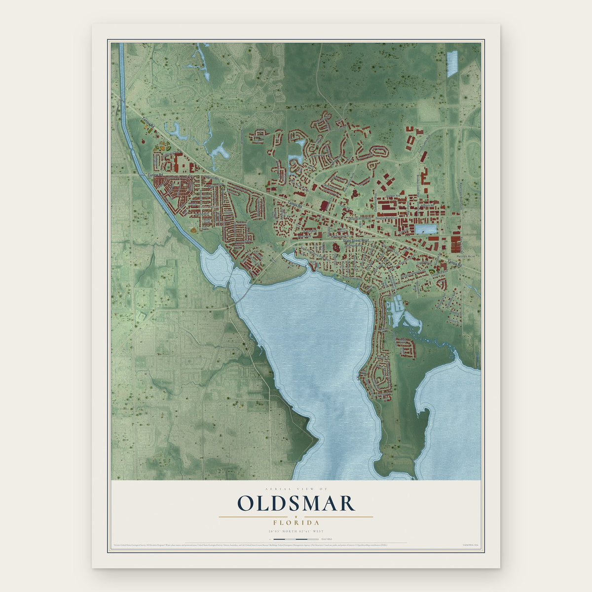
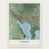
Oldsmar, Florida Map Art
A new map of Oldsmar, Florida, made in 2026 and printed to order on thick archival matte paper.
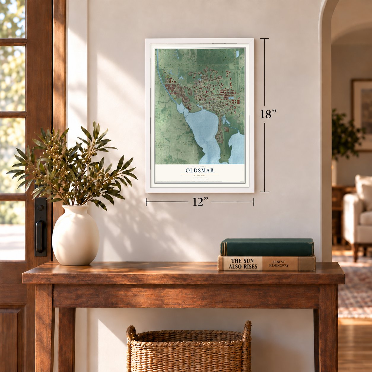
12" x 18" Archival Matte Print
A Map of Home. A Work of Art.
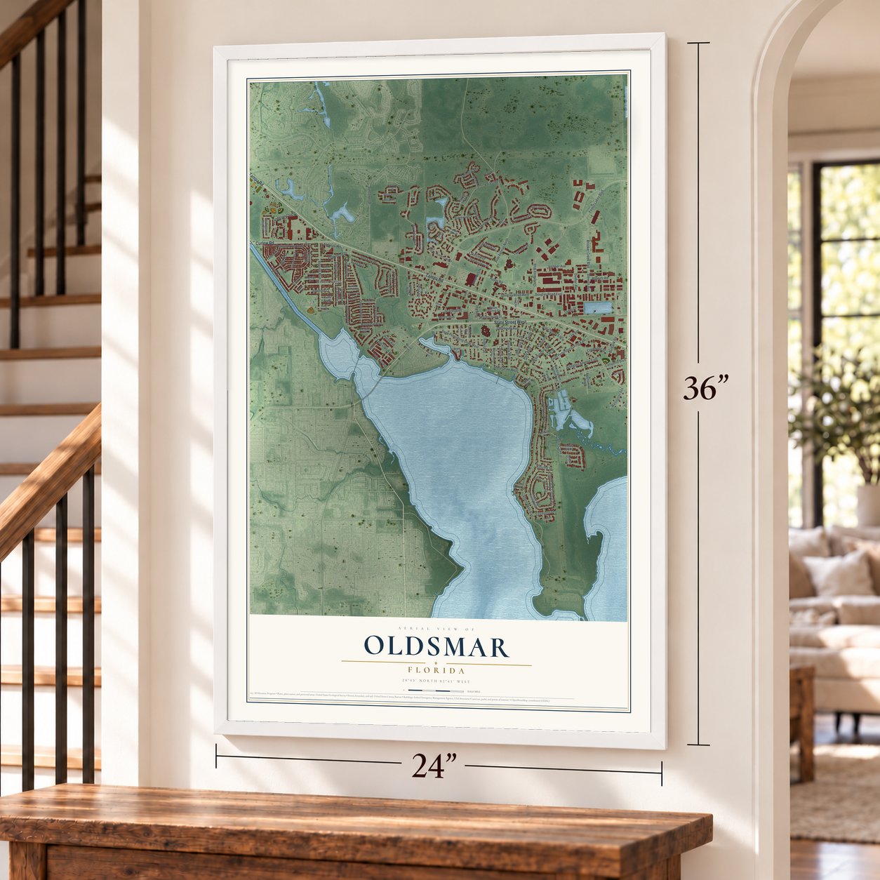
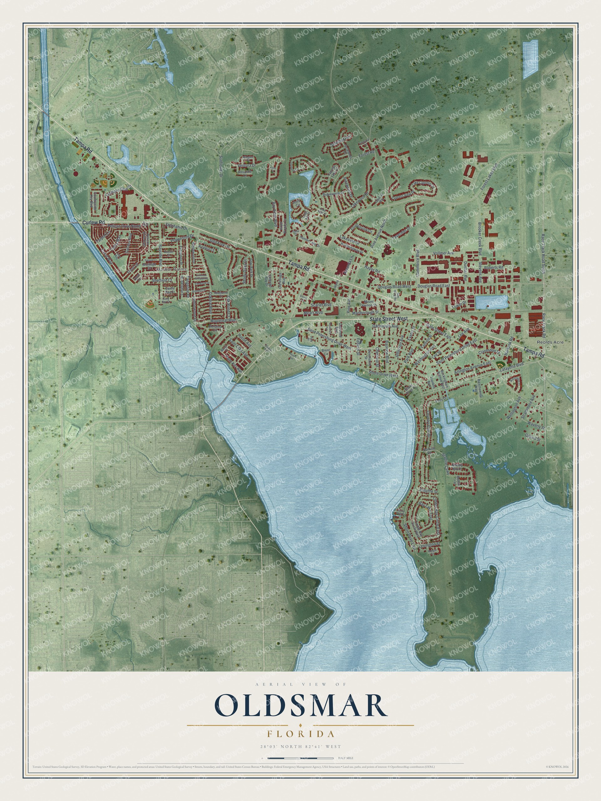
Explore Oldsmar, Florida from a whole new perspective. Created using aerial imagery and detailed geographic data, this map captures Oldsmar building by building, with labeled streets, familiar landmarks, and shaded topographical relief that highlights the natural contours of the landscape.
Combining modern data with the timeless character of a vintage atlas, this map is just as interesting up close as it is beautiful on the wall. Whether you grew up in Oldsmar, spent memorable years there, or call it home today, this unique map is a great way to celebrate a place that means something to you. Zoom in on the preview to look for your street, and then order a print to put your memories on the wall.
Three ways to hang it
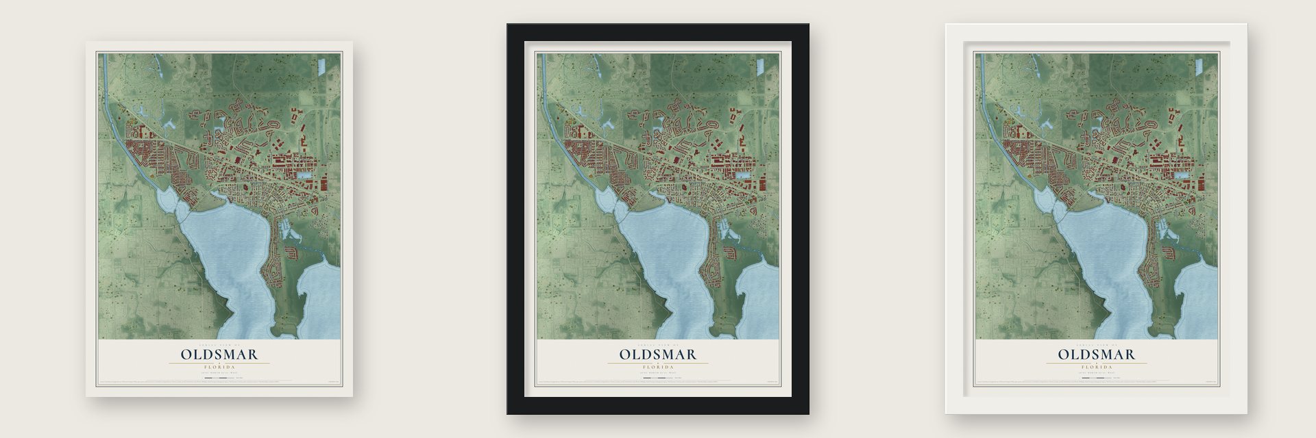
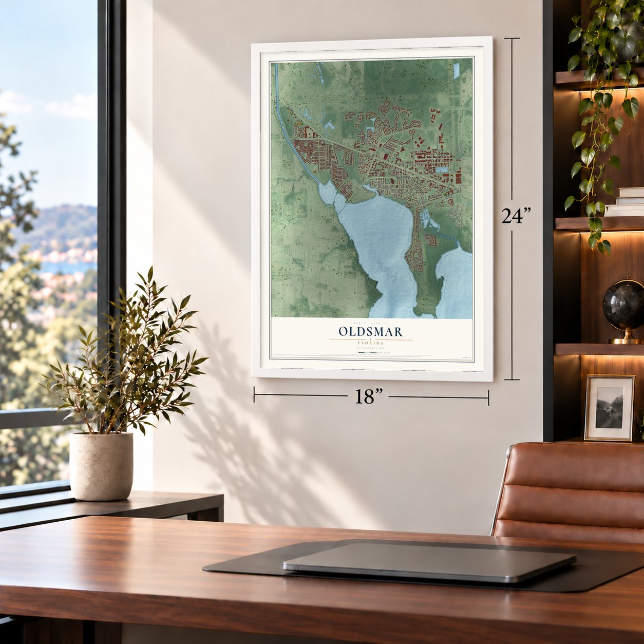
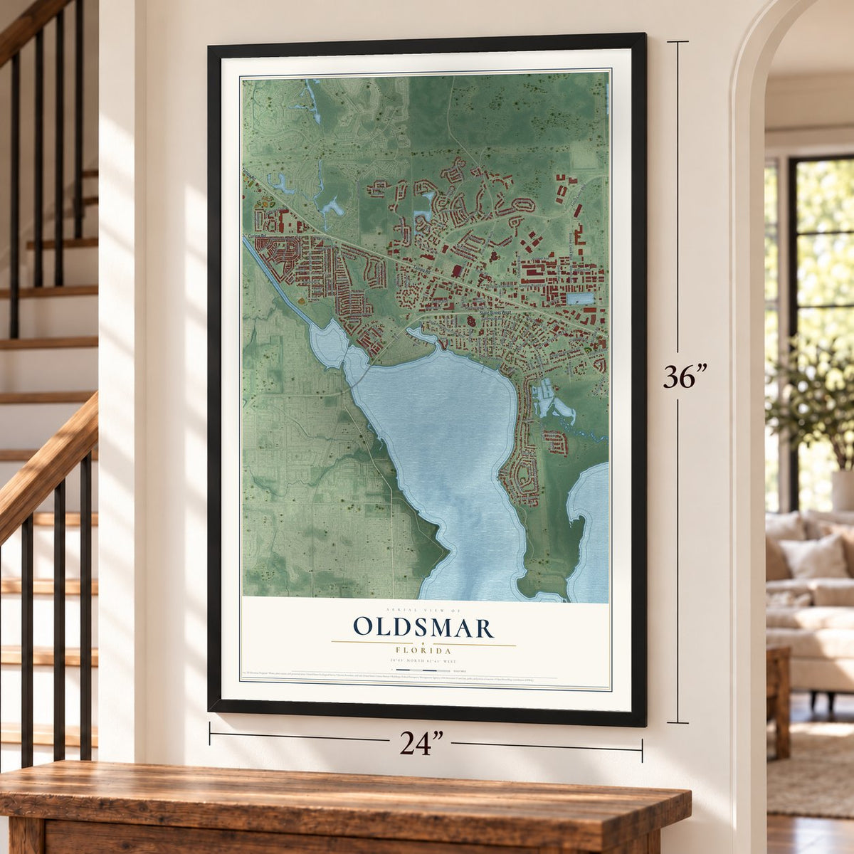
Unframed archival matte, a black wood frame or a white wood frame.
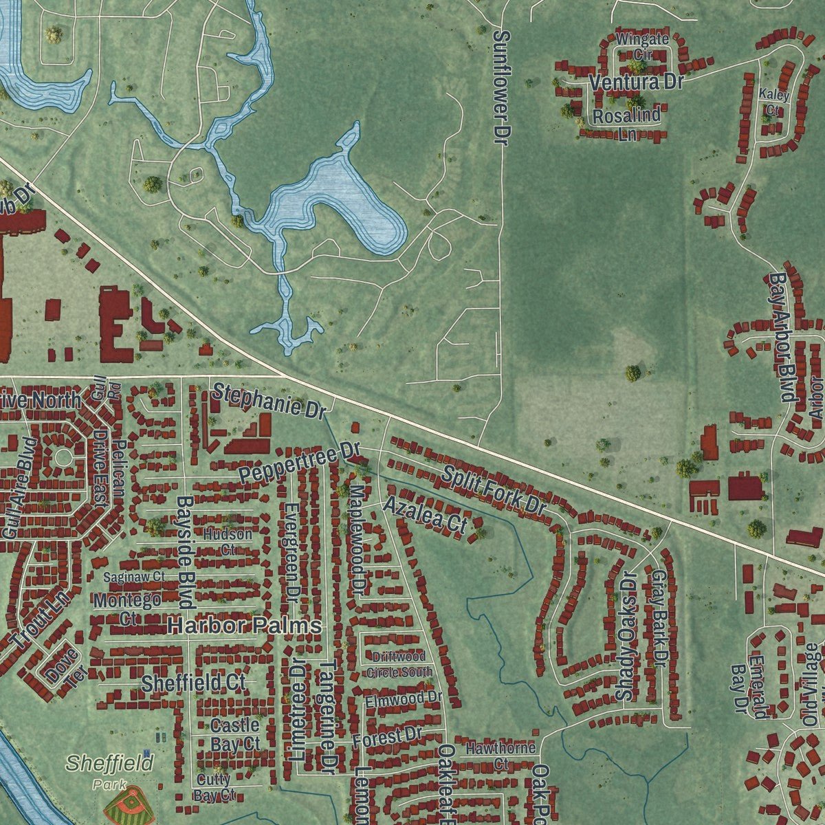
Up close
Geography Worth Displaying
This map was created using accurate cartographic data and authoritative geographic sources, including the U.S. Geological Survey (USGS) and FEMA. The map brings together terrain, waterways, roads, and building detail. The majority of the streets are labeled, houses are accurately depicted, and the topography is derived from government sources. Combining local data with carefully composed color and shading leads to this beautifully detailed Oldsmar artwork for your wall.
Rather than simply showing street outlines, we’ve included as many of the street names as we could reasonably fit on the map while keeping their names legible. Zoom in on the high resolution preview to see exactly what’s on the map. We truly set out to create a statement piece for anyone who loves Oldsmar. So whether it’s for you, or a gift for someone you love, we hope this map of Oldsmar brings back fond memories.
Explore the full map of Oldsmar, Florida and read about the local places it shows.
About Oldsmar, Florida
Oldsmar is a city of 14,898 people in Pinellas County, where Old Tampa Bay ends to the north. Ransom E. Olds, the automobile pioneer, bought 37,541 acres here on April 12, 1916, to build a planned town. He chose the land because Tampa and Tarpon Springs were close by and a Seaboard Air Line Railroad line already crossed it. He first called the place R. E. Olds-on-the-Bay, then shortened it to Oldsmar.
Olds hoped for a city of 100,000, but growth never came. A 1921 hurricane pushed floodwater 14 feet above normal across land that never rises more than 20 feet, and by 1923 his $4.5 million had drawn only about 200 residents. He sold his holdings and left nearly $3 million poorer. A promoter named Harry Elias Prettyman kept selling lots, until he was caught selling underwater ones in 1927. The town then became Tampa Shores, and it took back the name Oldsmar in 1937.
- Health, Wealth and HappinessThe Reolds Farms Company aimed its slogan, "Oldsmar for Health, Wealth and Happiness," at people up North to fill the new town. It chartered Pullman cars to bring visitors from Detroit and lodged them at the Wayside Inn, a 60-room hotel. A model farm with cattle, horses, pigs, potatoes, celery and citrus showed buyers what the soil could grow.
- The Bank Building, 1918Olds oversaw the construction of the Bank Building downtown in 1918. Its Mediterranean Revival walls are made of rare white Italian glazed bricks. Inside were the Oldsmar State Bank, the offices of the Reolds Farm Co. and the department that sold the town's real estate.
- The Oldsmar ChairTractor engines of cast iron came out of the town's sawmill and foundry, which also made heaters for citrus groves. The mill turned out a seat known as both the Olds Chair and the Oldsmar Chair, built of yellow pine or cypress in the spirit of the Adirondack chair.
- A $100,000 dry wellOlds reportedly spent $100,000 drilling for oil, but the well never produced, because no one then had the technology to drill through the Florida aquifer. The capped well remains today at Tampa Bay Downs Racetrack. Olds had almost completed that track before trading it away for Clearwater's Fort Harrison Hotel.
- Gim Gong RoadOlds named some of Oldsmar's roads himself. Gim Gong Road honors Lue Gim Gong, the horticulturist he hired to help set up the farming community.
Find your street
Names on the Oldsmar map
Every name below is printed on this map. Look for your street, your school, the park where you played, or the pond down the road.
Places and landmarks3
- Harbor Palms
- Sheffield Park
- Reolds Acre
Streets and roads147
- State Street West
- Tampa Road
- Curlew Road
- Forest Lakes Boulevard
- Race Track Road
- Race Track Road South
- Lafayette Boulevard
- Saint Petersburg Drive West
- Saint Petersburg Drive East
- State Street East
- Canal Way
- Pelican Drive North
- Eastlake Club Drive
- Timber Bay Circle East
- Starfire Causeway
- Lemonwood Drive
- Shore Drive East
- Pine Avenue North
- Lakeview Drive
- Commerce Boulevard
- Douglas Road East
- Lakewood Drive
- Brooker Creek Boulevard
- Burbank Road
- Bay Arbor Boulevard
- Country Club Drive
- Oakleaf Boulevard
- Shore Drive West
- Forest Road
- Scarlet Boulevard
Show all 147 streets
- Arlington Avenue East
- Split Fork Drive
- Dartmouth Avenue
- Bayside Boulevard
- Washington Avenue
- Bayview Boulevard
- Ventura Drive
- Park Boulevard
- Tangerine Drive
- Mapleleaf Boulevard
- Pine Avenue
- Chestnut Street
- Oak Pond Court
- Tavernier Drive
- Dunbar Avenue
- Trout Lane
- Vollmer Avenue
- Lee Avenue
- Lee Street
- Douglas Road West
- Mears Boulevard
- Bay Lake Trail
- Jefferson Avenue
- Shady Oaks Drive
- Marlborough Street
- Peppertree Drive
- Hayes Road
- Pinewood Drive
- Saint Clair Avenue
- Satinleaf Avenue
- Strathmore Avenue
- Palm Key Avenue
- Roberts Road
- Stephanie Drive
- Sheffield Court
- Amanda Lane
- Cobia Way
- Clarendon Street
- Wellington Avenue
- Limetree Drive
- Stevens Avenue
- Lexington Street
- Waverly Street
- Exeter Street
- Sunflower Drive
- Tarpon Lane
- Kilsythe Street
- Azalea Court
- Federal Street
- Gilford Street
- Huron Avenue
- Tower Drive
- Pelican Drive East
- Cypress View Drive
- Timber Bay Circle West
- Old Village Way
- Emerald Bay Drive
- Fountainview Circle
- Countryside Key Boulevard
- Lake Cypress Circle
- Buckingham Avenue East
- Christina Circle
- Oakwood Boulevard
- Mount Vernon Street
- Hemmingway Drive
- Gray Bark Drive
- Brent Circle
- Evergreen Drive
- Hunter Lake Drive
- Arbor Woods Circle
- Fairfield Street
- Robinwood Drive
- Gull Aire Boulevard
- Jacaranda Drive
- Shore Drive Place
- Montego Court
- Forest Drive
- Dove Terrace
- Devonshire Street
- Maplewood Drive
- Rosalind Lane
- Mobbly Bay Drive
- Bicentennial Way
- Holly Circle
- Dunkirk Road
- Franklin Avenue
- Castle Bay Court
- Cypress Lake Court
- Patty Drive
- Bobcat Trail
- Cutty Bay Court
- Wellington Court
- Lake Way
- Wingate Circle
- Hudson Court
- Hawthorne Court
- Elmwood Drive
- Gim Gong Road
- Sabal Court
- Cabernet Way
- Park Place
- Vineyard Lane
- Duane Avenue
- Bengal Circle
- Myrtle Lane
- Mango Court
- Derek Lane
- Cedar Key Court
- Gull Road
- Phoenix Avenue
- Saginaw Court
- Woodward Avenue
- Longwood Circle
- Driftwood Circle South
- Cedar Ridge Court
- Sunny Point Court
- Kaley Court
Names are listed as they appear on the printed map. Zoom into the product photos to find them.
The art of mapping a place
How This Map Was Made
Real places. Remarkable detail. Discover the layers that turn geographic data into a map of home.

The view from above
Aerial imagery reveals the character of the land: woodland, open fields, and the patterns of a place.

The shape of the land
Elevation data brings hills, valleys, and subtle changes in the landscape into view.

The details of home
Roads, waterways, and building footprints come together to make the map feel unmistakably local.

Geography becomes art
Considered color, shading, and typography bring the layers together in a map made for your wall.


Process illustrated with Mendon, Massachusetts. Aerial imagery: USDA NAIP. Terrain: USGS 3D Elevation Program. Map details and finished artwork: KNOWOL.
The Details
About This Print
Choose an archival matte print, or a black or white Ayous wood frame. The archival matte print is unframed.
Select your size and finish above to see the matching product image and price.
Materials & Craftsmanship
A contemporary map with the character of a classic atlas, printed on archival matte paper. Optional frames are made from Ayous wood.
Your printed map does not include the watermark shown in the full-map preview.
Shipping & Delivery
Free shipping within the United States. Every print is made to order in the USA.
Buying a gift? Add a note in your cart and we'll include it. We never put prices in the package.
Prints ship within 2 to 3 business days. Allow 7 to 10 days total from ordering for delivery. Timing may vary during holidays or periods of high order volume.
Read our shipping policy.
Returns and damaged prints
Each print is made to order. Change-of-mind refunds are not available after production.
If your print arrives damaged, misprinted or incorrect, contact support@knowol.com within 30 days of receiving it. Include your order number, photos and a description of the issue.
Read our full refund and replacement policy. For questions about your order, email support@knowol.com.
Find your town
Looking for another city?
Find a map of home in our Florida collection, or any town in the country.
Nearby
Maps of towns near Oldsmar
Know someone from one of these towns? Their map makes a great gift.
 Safety Harbor
, Florida
From $39.99See the map
 Westchase
, Florida
From $39.99See the map
 East Lake
, Florida
From $39.99See the map
More maps nearby: Greenbriar, Palm Harbor, Town 'n' Country, Keystone and Citrus Park.