
Search for another town


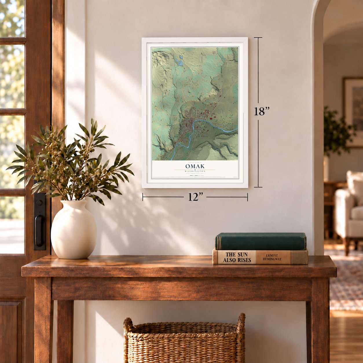
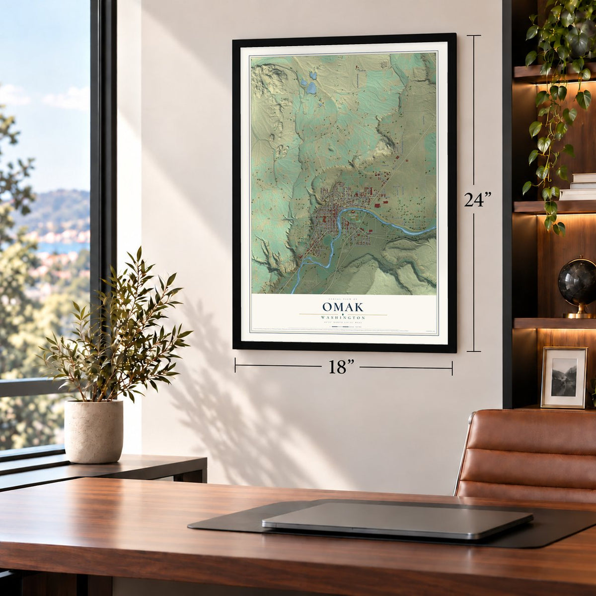
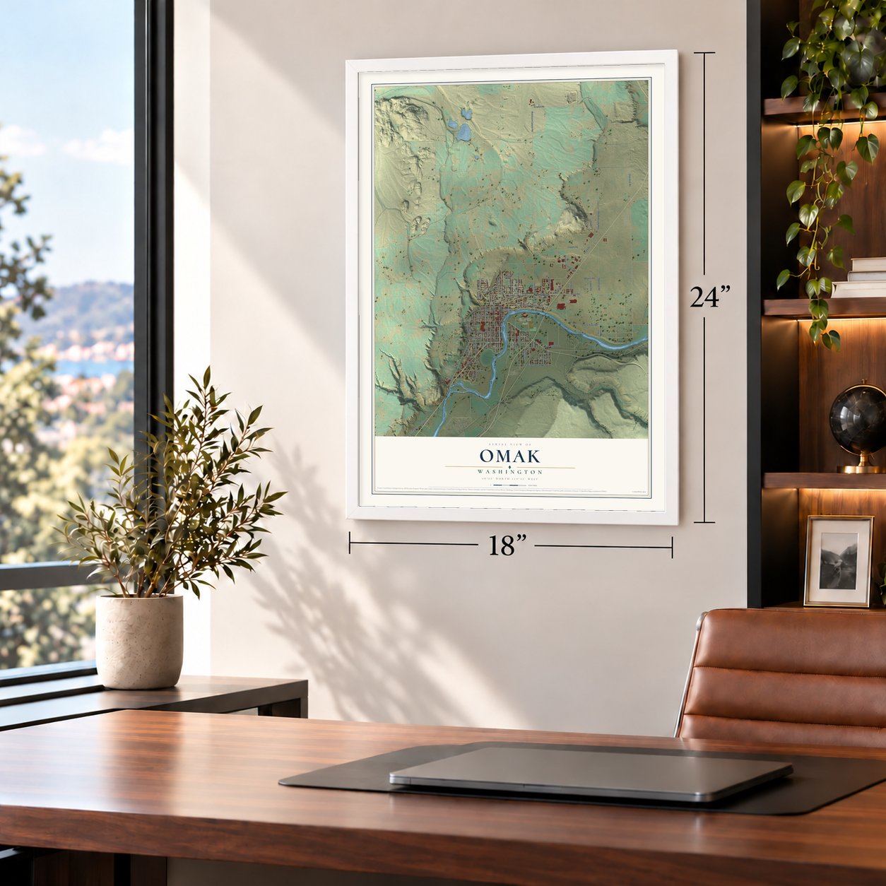

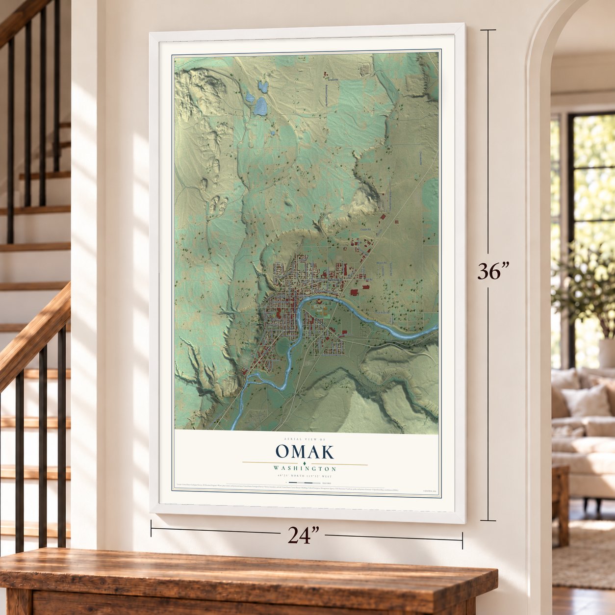

Free U.S. delivery 7 to 10 days after you order
Omak, Washington Map Art
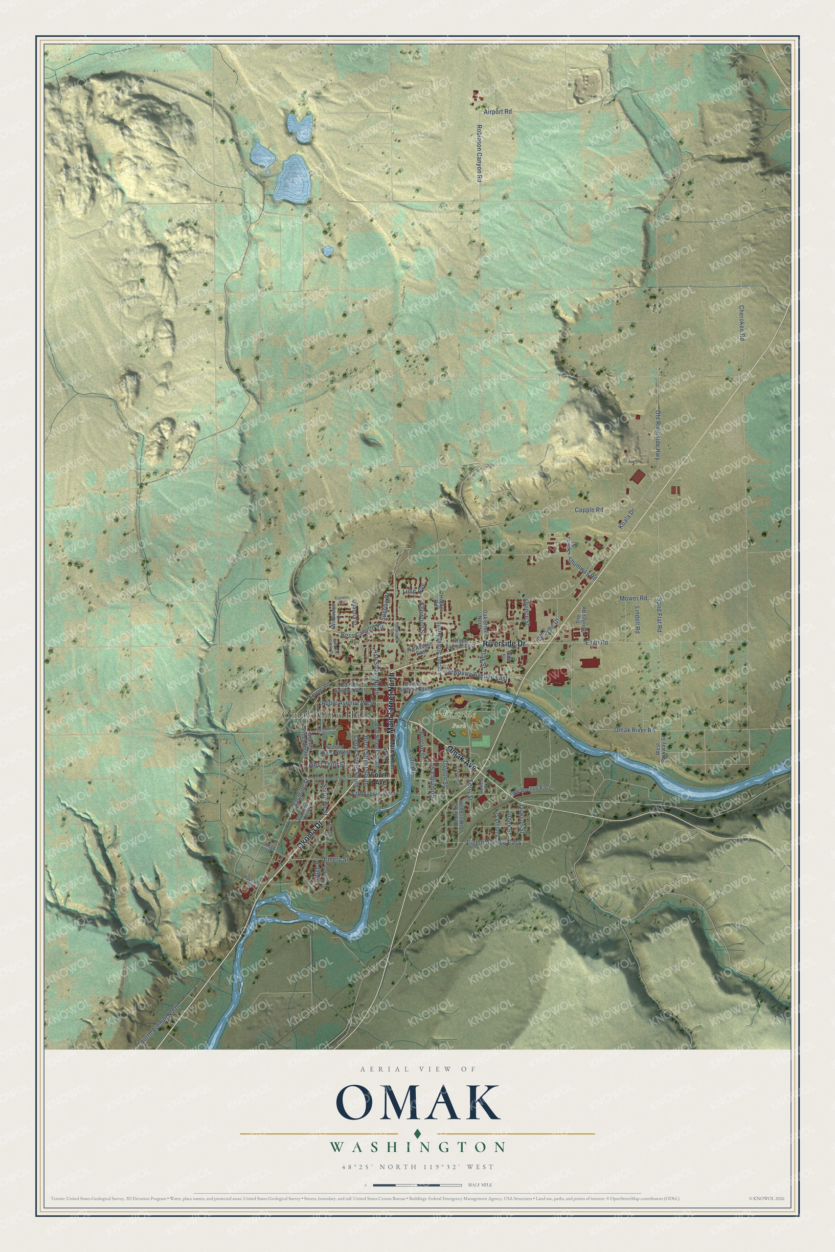
A new map of Omak, Washington, made in 2026 and printed to order on thick archival matte paper.
12" x 18" Archival Matte Print
A Map of Home. A Work of Art.
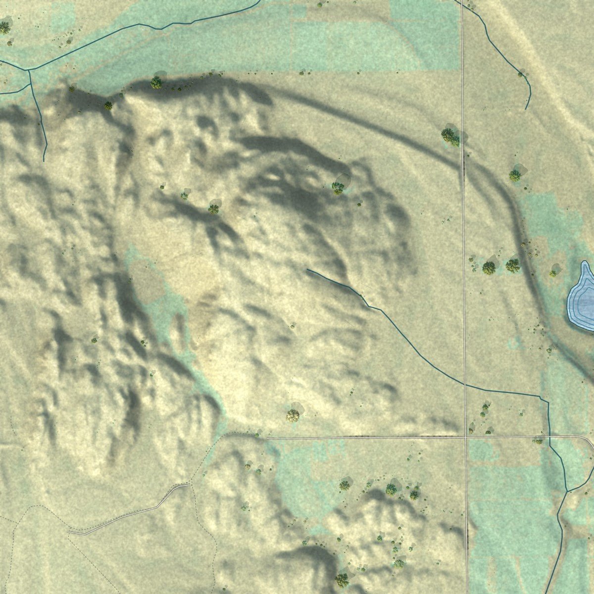
Explore Omak, Washington from a whole new perspective. Created using aerial imagery and detailed geographic data, this map captures Omak building by building, with labeled streets, familiar landmarks, and shaded topographical relief that highlights the natural contours of the landscape.
Combining modern data with the timeless character of a vintage atlas, this map is just as interesting up close as it is beautiful on the wall. Whether you grew up in Omak, spent memorable years there, or call it home today, this unique map is a great way to celebrate a place that means something to you. Zoom in on the preview to look for your street, and then order a print to put your memories on the wall.
Three ways to hang it
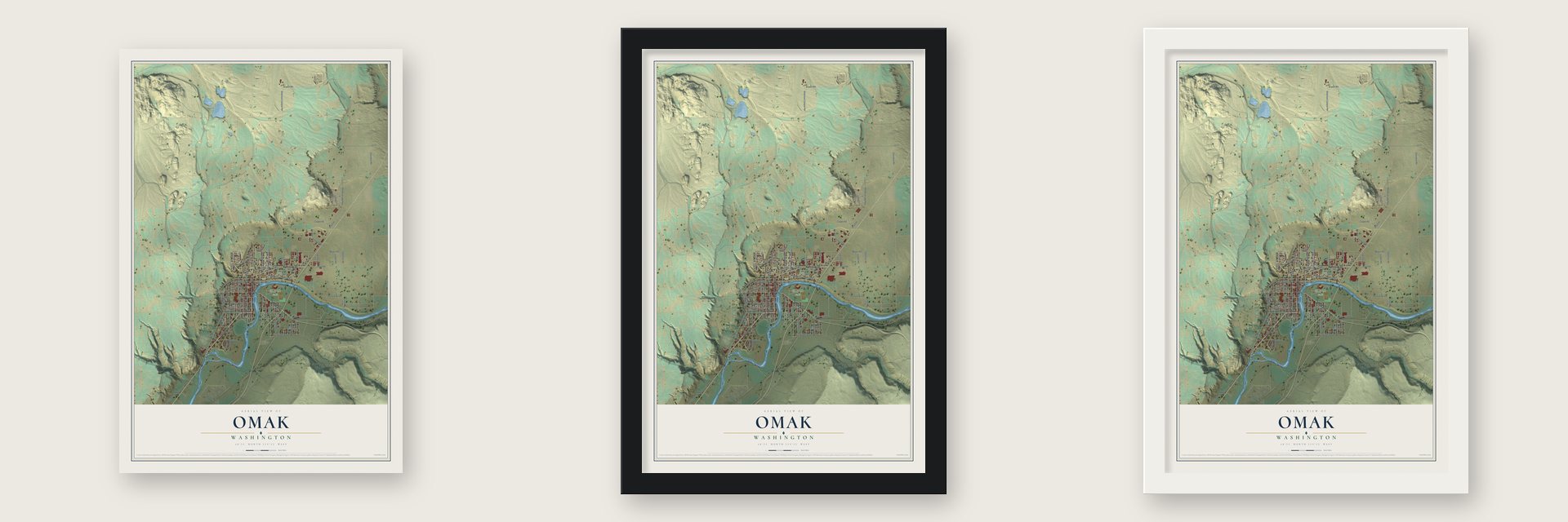
Unframed archival matte, a black wood frame or a white wood frame.
Up close
Geography Worth Displaying
This map was created using accurate cartographic data and authoritative geographic sources, including the U.S. Geological Survey and the Census Bureau. The map brings together terrain, waterways, roads, and building detail. The majority of the streets are labeled, houses are accurately depicted, and the topography is derived from government sources. Combining local data with carefully composed color and shading leads to this beautifully detailed Omak artwork for your wall.
Rather than simply showing street outlines, we’ve included as many of the street names as we could reasonably fit on the map while keeping their names legible. Zoom in on the high resolution preview to see exactly what’s on the map. We truly set out to create a statement piece for anyone who loves Omak. So whether it’s for you, or a gift for someone you love, we hope this map of Omak brings back fond memories.
Read the story behind this map of Omak, Washington from 2026.
About Omak, Washington
Omak is a city of 4,860 people in Okanogan County, on the Okanogan River. It began with a quarrel over a name. Joseph Irwin Pogue, an Ohio-born doctor who gave up medicine to farm, dug a ditch in 1888 to bring Salmon Creek water to his land. Nearby Alma, founded in 1886, renamed itself Pogue in 1905 to thank him, but in 1907 its voters chose the name Okanogan instead. The angry doctor hired surveyor Ben F. Ross to lay out a rival town about 5 miles north.
That same year Ross split 20 acres of his own alfalfa field into 25 lots. Buyers snapped them up so quickly that each was limited to two, except banker L. L. Week, who got four for a bank and a printing office. The town took its name from the Salishan word "omache," for "good medicine" or "plenty." Water from the Okanogan Irrigation Project, completed in 1910, let settlers plant apples, peaches, plums and apricots, and Omak was incorporated on February 11, 1911.
“The new town of Omak, viewed casually by the editor from the forward deck of his buggy last Friday, made a good impression. Things are moving there, good big buildings are already up and more a-buildin'. And, dear me, a bank that has temporary offices in a dry goods box, with over $12,000 deposits, talks for the town louder than a megaphone”
- The Stampede since 1933Two cattlemen started the Omak Stampede rodeo in 1933. By 1935 they had added a second event, the World Famous Suicide Race, where riders send their horses plunging down a steep hill, through the Okanogan River and up the bank on the far side. The race has faced protests and lawsuits, but it still runs on the second weekend of August.
- Omak's first school, 1907Pogue's school was too far away for Omak children, so in the fall of 1907 the new town opened a subscription school for 10 pupils in a 12-foot by 16-foot building, taught by Miss Ethel Reed. In 1908 classes moved to Stoddard Hall, where the post office stands now, and in 1910 the Central School went up on land Ben Ross gave. Sisters Voy and Beryl Bailey became the first high school graduates in 1912.
- Losing the county seat, 1913In 1913 Omak and Okanogan both wanted to take the county seat from Conconully, which required at least 60 percent of the vote. Omak, which had just banned alcohol, called its neighbor a town of hooligans. Okanogan talked Omak into a head-to-head elimination vote, with the loser dropping out. Okanogan won by nearly two to one and has held the county seat ever since.
- The Chronicle, since 1910Clarence P. Scates quit as editor of the Conconully Record to start a paper of his own. He printed the first Omak Chronicle on May 20, 1910, and three years later it grew into the Omak-Okanogan County Chronicle, the weekly the city still reads.
Find your street
Names on the Omak map
Every name below is printed on this map. Look for your street, your school, the park where you played, or the pond down the road.
Places and landmarks2
- Omak City Hall
- Eastside Park
Streets and roads76
- Okoma Drive
- Main Street North
- Riverside Drive
- Omak Avenue
- Locust Street North
- Jasmine Street
- Dayton Street
- Engh Road
- Ross Canyon Road
- Robinson Canyon Road
- Copple Road
- Sand Flat Road
- Airport Road
- Apple Avenue West
- Koala Drive
- Cherokee Road
- Jackson Street
- Dewberry Avenue East
- Ferry Street
- Omak River Road
- Ash Street South
- Emery Street
- Old Riverside Highway
- Cedar Street South
- Eighth Avenue East
- West Third Street
- Shumway Road
- Birch Street South
- Benton Street
- Ash Street North
Show all 76 streets
- Fourth Avenue North
- Columbia Street
- Asotin Street
- Omache Drive
- Mower Road
- Kenwood Street
- Quince Street
- Lindell Road
- South Fir Street
- Sunrise Drive
- Oak Street
- Index Street
- Lime Avenue
- Ridge Place
- Fourth Avenue
- Granite Street South
- Bartlett Avenue West
- Bartlett Avenue East
- Grape Avenue East
- Oak Street North
- Fifth Avenue East
- Second Avenue West
- Fifth Avenue West
- Edmonds Street South
- Pine Street
- Hanford Street
- The Springs Road
- West Parkway Street
- Fig Avenue East
- Wildwood Drive
- Kermel Road
- Quassia Street
- Senna Street
- Hopfer Road
- High Drive
- Main Street South
- Ironwood Street
- Garfield Street
- Ivy Street South
- Haussler Road
- Fourth Avenue West
- First Avenue West
- Hillcrest Circle Drive
- East Ridge Drive
- Edmonds Street
- Cypress Avenue
Names are listed as they appear on the printed map. Zoom into the product photos to find them.
The art of mapping a place
How This Map Was Made
Real places. Remarkable detail. Discover the layers that turn geographic data into a map of home.

The view from above
Aerial imagery reveals the character of the land: woodland, open fields, and the patterns of a place.

The shape of the land
Elevation data brings hills, valleys, and subtle changes in the landscape into view.

The details of home
Roads, waterways, and building footprints come together to make the map feel unmistakably local.

Geography becomes art
Considered color, shading, and typography bring the layers together in a map made for your wall.


Process illustrated with Mendon, Massachusetts. Aerial imagery: USDA NAIP. Terrain: USGS 3D Elevation Program. Map details and finished artwork: KNOWOL.
The Details
About This Print
Choose an archival matte print, or a black or white Ayous wood frame. The archival matte print is unframed.
Select your size and finish above to see the matching product image and price.
Materials & Craftsmanship
A contemporary map with the character of a classic atlas, printed on archival matte paper. Optional frames are made from Ayous wood.
Your printed map does not include the watermark shown in the full-map preview.
Shipping & Delivery
Free shipping within the United States. Every print is made to order in the USA.
Buying a gift? Add a note in your cart and we'll include it. We never put prices in the package.
Prints ship within 2 to 3 business days. Allow 7 to 10 days total from ordering for delivery. Timing may vary during holidays or periods of high order volume.
Read our shipping policy.
Returns and damaged prints
Each print is made to order. Change-of-mind refunds are not available after production.
If your print arrives damaged, misprinted or incorrect, contact support@knowol.com within 30 days of receiving it. Include your order number, photos and a description of the issue.
Read our full refund and replacement policy. For questions about your order, email support@knowol.com.
Find your town
Looking for another city?
Find a map of home in our Washington collection, or any town in the country.
Nearby
Maps of towns near Omak
Know someone from one of these towns? Their map makes a great gift.
 North Omak
, Washington
From $39.99See the map
 Okanogan
, Washington
From $39.99See the map
 Riverside
, Washington
From $39.99See the map
More maps nearby: Malott, Conconully, Disautel, Tonasket and Brewster.