
Search for another town



Free U.S. delivery 7 to 10 days after you order
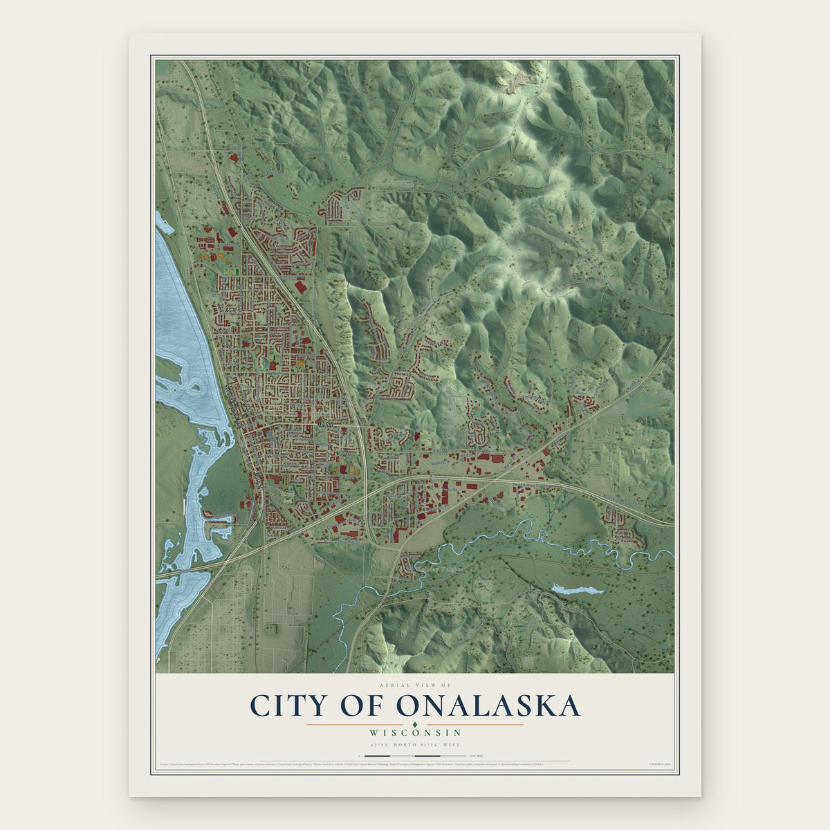
City of Onalaska, Wisconsin Map Art
Building by building, with labeled streets and shaded relief.
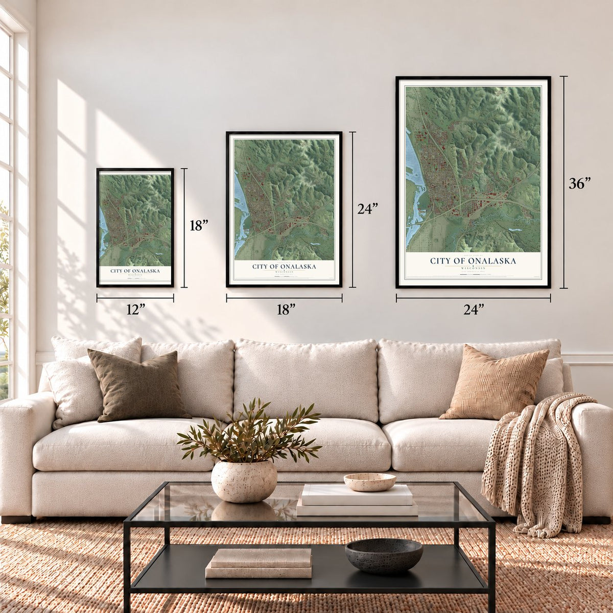
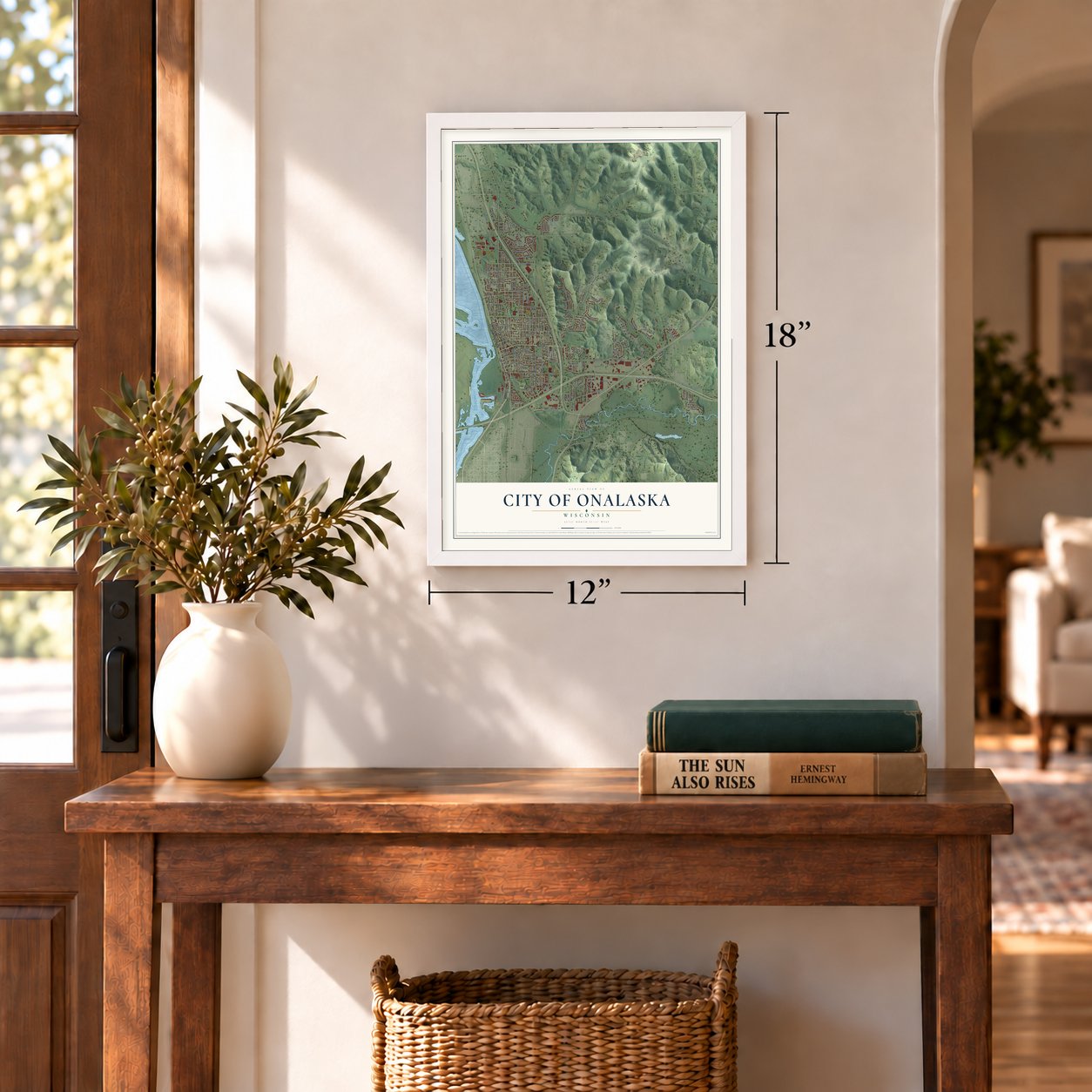
12" x 18" Archival Matte Print
A Map of Home. A Work of Art.
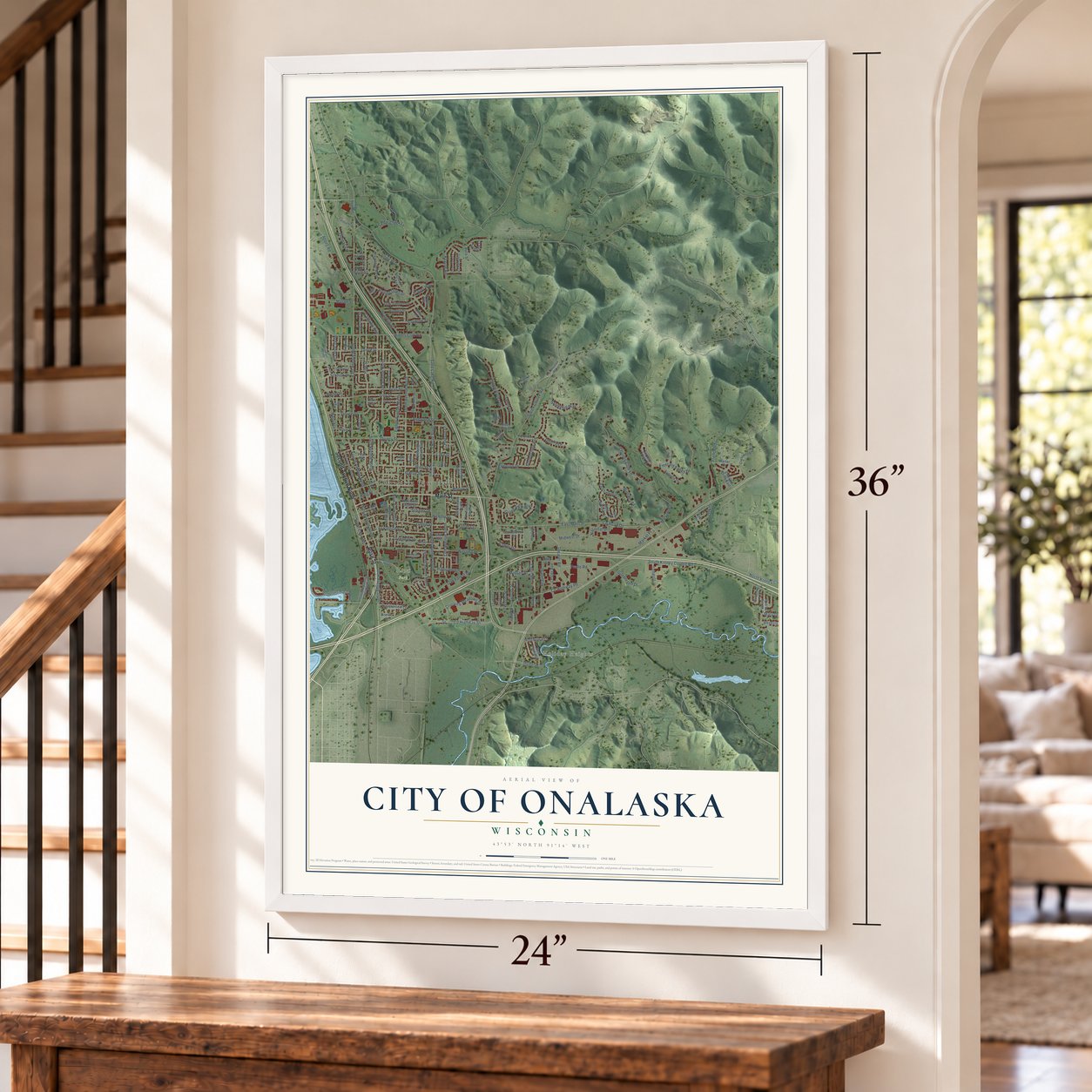
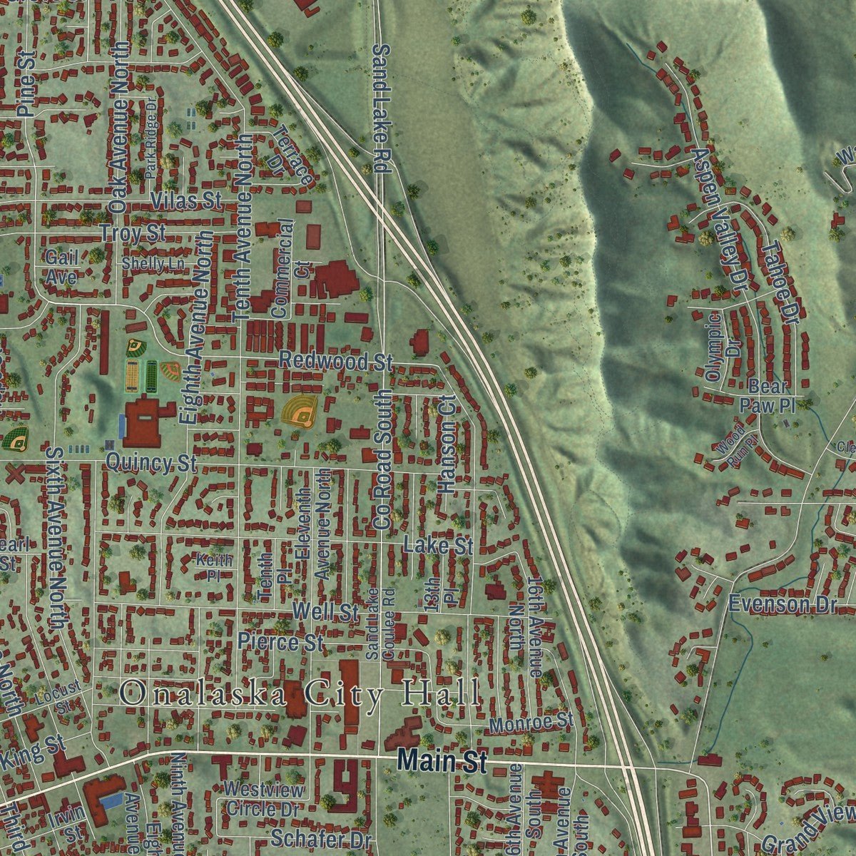
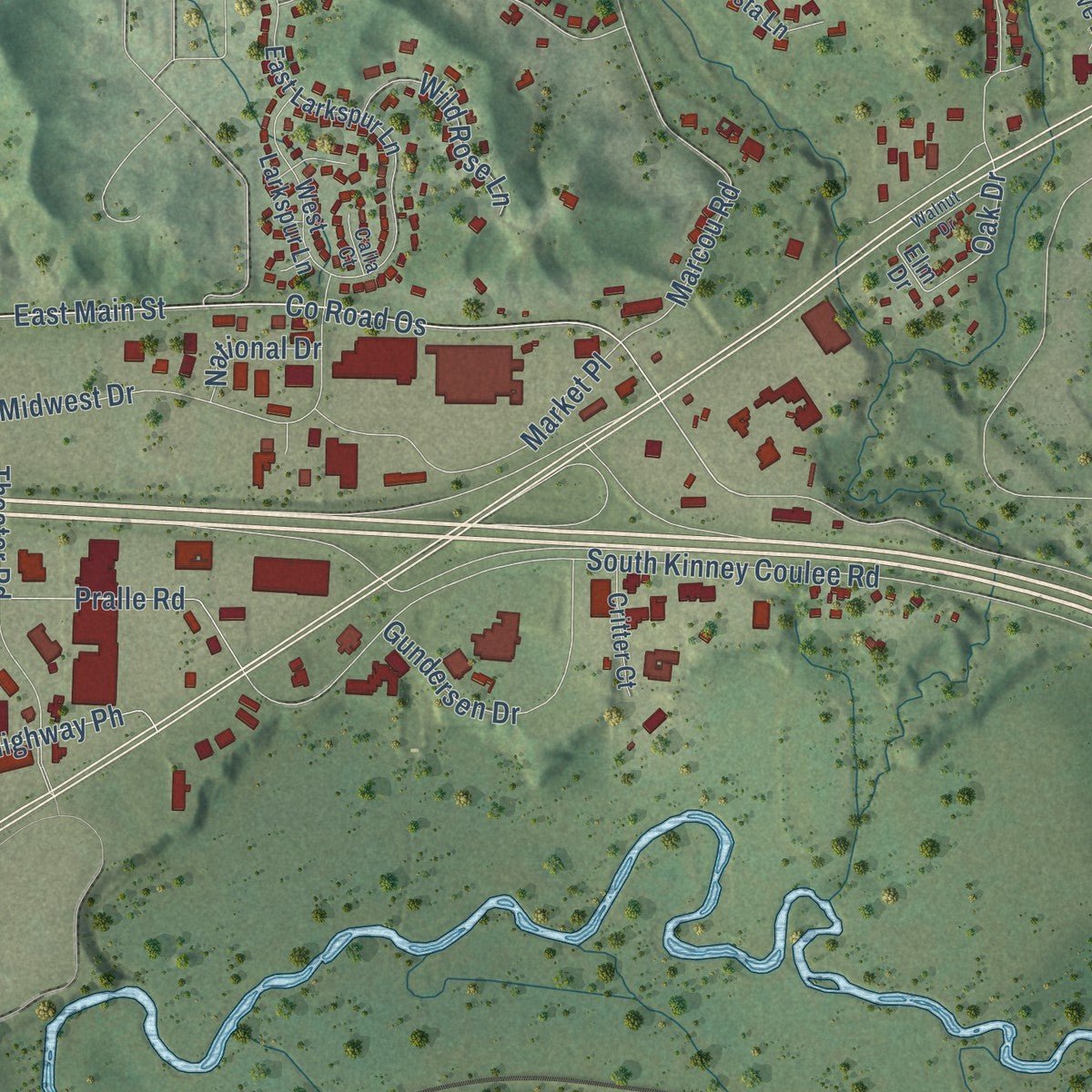
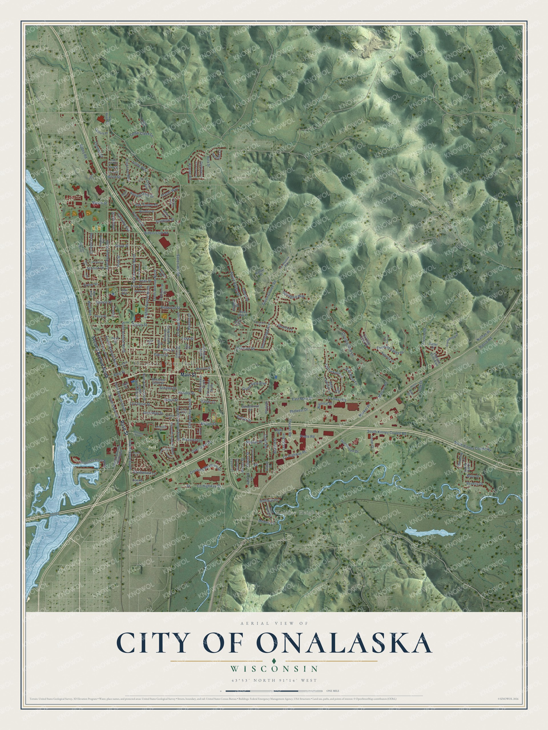
Explore Onalaska, Wisconsin from a whole new perspective. Created using aerial imagery and detailed geographic data, this map captures Onalaska building by building, with labeled streets, familiar landmarks, and shaded topographical relief that highlights the natural contours of the landscape.
Combining modern data with the timeless character of a vintage atlas, this map is just as interesting up close as it is beautiful on the wall. Whether you grew up in Onalaska, spent memorable years there, or call it home today, this unique map is a great way to celebrate a place that means something to you. Zoom in on the preview to look for your street, and then order a print to put your memories on the wall.
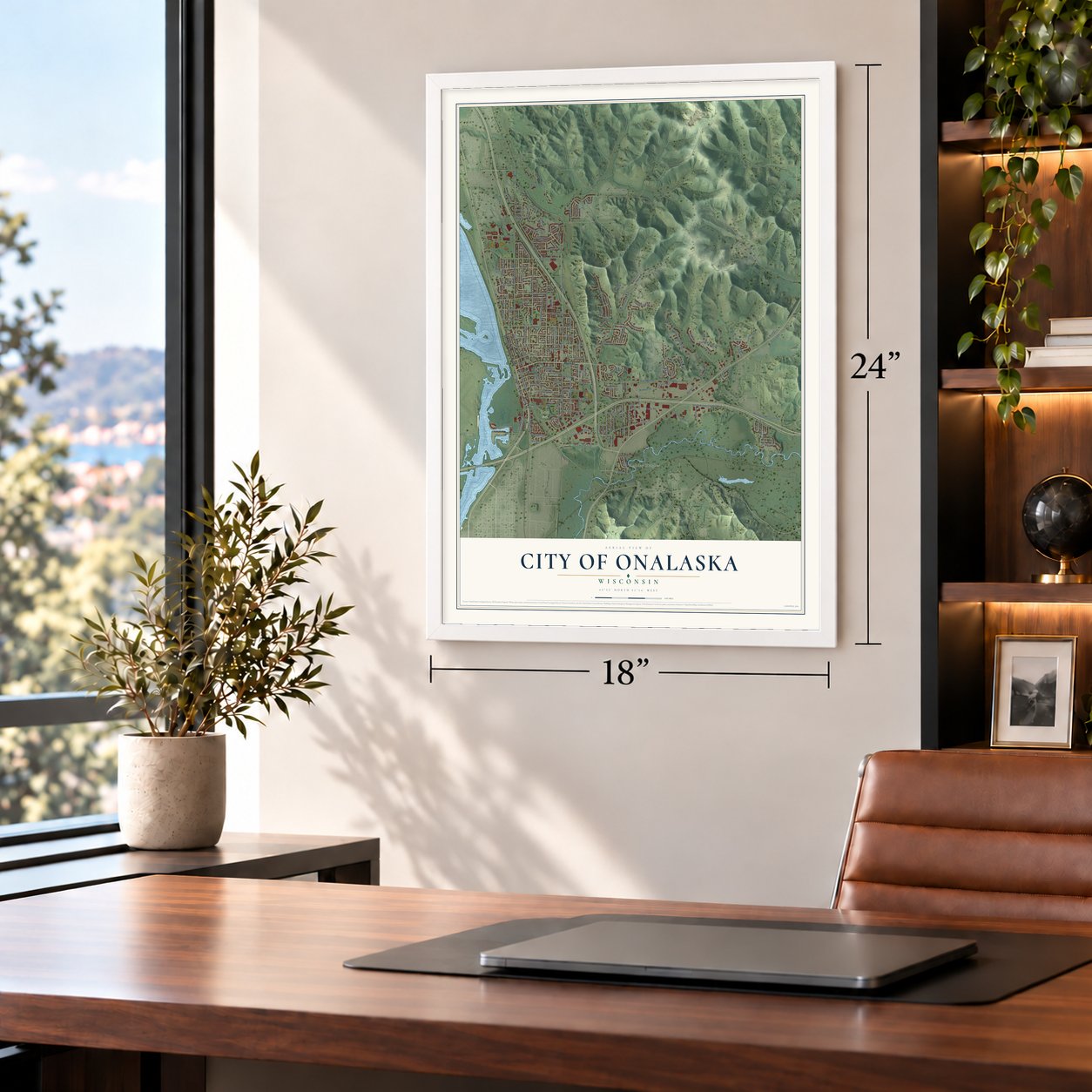
Three ways to hang it
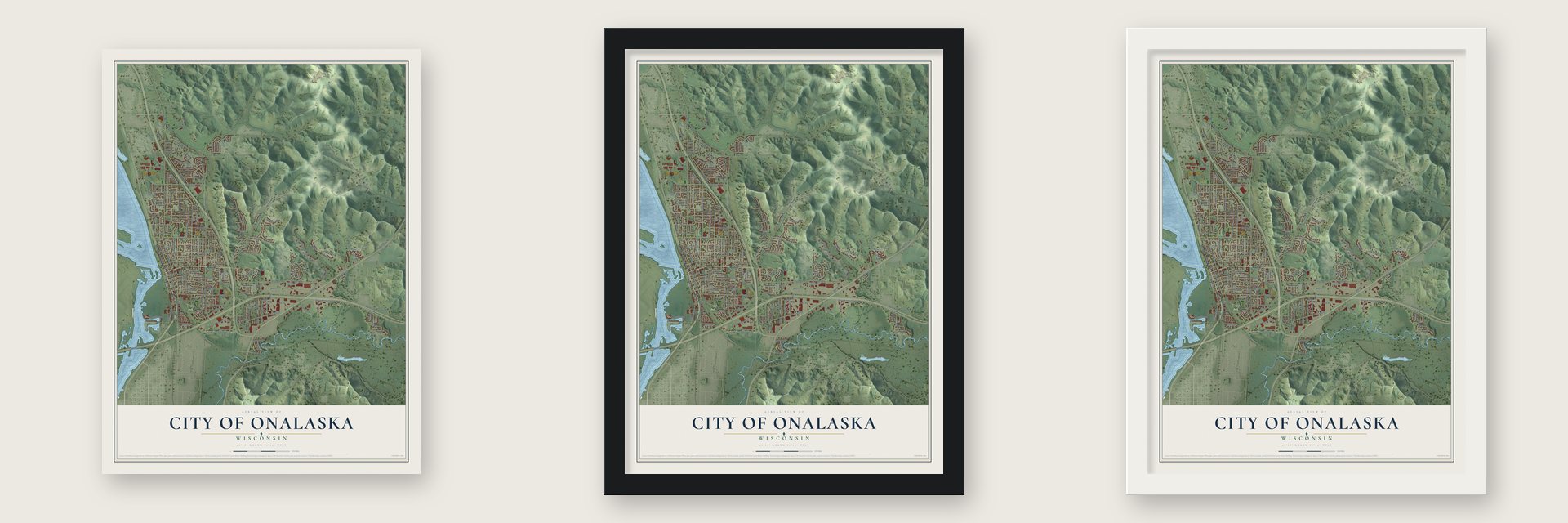
Unframed archival matte, a black wood frame or a white wood frame.
Up close
Geography Worth Displaying
This map was created using accurate cartographic data and authoritative geographic sources, including the U.S. Geological Survey and the Census Bureau. The map brings together terrain, waterways, roads, and building detail. The majority of the streets are labeled, houses are accurately depicted, and the topography is derived from government sources. Combining local data with carefully composed color and shading leads to this beautifully detailed Onalaska artwork for your wall.
Rather than simply showing street outlines, we’ve included as many of the street names as we could reasonably fit on the map while keeping their names legible. Zoom in on the high resolution preview to see exactly what’s on the map. We truly set out to create a statement piece for anyone who loves Onalaska. So whether it’s for you, or a gift for someone you love, we hope this map of Onalaska brings back fond memories.
Read the story behind this map of the City of Onalaska, Wisconsin from 2026.
Find your street
Names on the Onalaska map
Every name below is printed on this map. Look for your street, your school, the park where you played, or the pond down the road.
Places and landmarks3
- Onalaska City Hall
- Holiday Heights
- Rowe Park
Streets and roads185
- Second Avenue North
- Rose Street
- Main Street
- East Main Street
- Oak Forest Drive
- Sixth Avenue North
- Redwood Street
- County Highway Ph
- Grove Street
- Third Avenue South
- Sand Lake Road
- County Road South
- East Avenue North
- South Kinney Coulee Road
- Green Coulee Road
- Twelfth Avenue South
- Tenth Avenue North
- County Road Os
- Riders Club Road
- Theater Road
- Oak Avenue North
- North Kinney Coulee Road
- Fourth Avenue North
- Quincy Street
- Country Club Lane
- Franklin Street
- Wilson Street
- Abbey Road
- Marcou Road
- Hickory Street
Show all 185 streets
- Eighth Avenue North
- Court Road
- Stonebridge Avenue
- 13th Avenue South
- Well Street
- Aspen Valley Drive
- Troy Street
- Green Street
- Oak Avenue South
- Rolling Oaks Drive
- Lake Street
- Johnson Street
- Krause Road
- Cedar Creek Lane
- Midwest Drive
- French Road
- Cliffview Avenue
- Emerald Valley Drive
- County Highway Ss
- La Crosse Street
- Grand View Boulevard
- Pralle Road
- Pierce Street
- Mason Street
- Market Place
- Evenson Drive
- Crossing Meadows Drive
- Oak Timber Drive
- Vilas Street
- Braund Street
- Gundersen Drive
- Greenbay Street
- Pine Street
- Juline Way
- Spruce Street
- Streblow Street
- Tahoe Drive
- Beverly Drive
- Red Cedar Court
- Pinecrest Lane
- South Court Street
- Wild Rose Lane
- Medary Lane
- Winter Street
- Gilster Street
- West Avenue
- Thomas Court
- Esther Drive
- Lester Avenue
- Hoffman Place
- Quarry Lane
- Schnick Drive
- Hazelwood Lane
- Schafer Drive
- Springhill Way
- King Street
- Mary Drive
- Mayfair Place
- National Drive
- Frazer Way
- Pierce Road
- Birch Street
- Hanson Court
- Carter Place
- Keller Court
- Nathan Place
- Oak Drive
- Second Avenue Southwest
- Fairway Creek Drive
- Westview Circle Drive
- Custer Court
- Elm Drive
- Eleventh Avenue South
- Crestwood Lane
- East Larkspur Lane
- Monroe Street
- Lauderdale Place North
- Eleventh Avenue North
- Ninth Avenue South
- Eighth Avenue South
- Windhill Street
- Windsong Lane
- 16th Avenue North
- Emerald Drive East
- Sandalwood Drive
- Park Avenue
- West Larkspur Lane
- Augusta Lane
- Golfview Lane
- Commercial Court
- Terrace Drive
- Craig Lane West
- East Young Drive
- Irvin Street
- Walnut Place
- 17th Avenue South
- 16th Avenue South
- Valley Vue Drive
- Charles Avenue
- Royal Street
- Sandside Court
- Critter Court
- Century Place
- Hope Court
- Bear Paw Place
- County Road Ph
- Pearl Street
- Rudy Street
- Heritage Lane
- Harter Drive
- Green Court
- Olympic Drive
- Domke Street
- Birka Lane
- County Road Sn
- Tenth Place
- Lincoln Street
- Rylla Street
- 13th Place
- Flint Street
- Dutton Street
- Gail Avenue
- Fair Meadow Way
- Sand Lake Coulee Road
- Third Avenue North
- Pine Ridge Drive
- Locust Street
- Greenview Lane
- Gordon Lane
- Shelly Lane
- Canary Lane
- Ridgeway Avenue
- Oak Park Drive
- Calla Court
- Meier Lane
- Keith Place
- Hilltoppel Park Drive
- Turnberry Lane
- Kristy Lane
- Park Ridge Drive
- Green Bay Street
- Clearwater Drive
- Kyle Lane
- Sycamore Street
- Walnut Drive
- Oriole Lane
- Van Riper Park Road
- Barson Court
- Fairfield Street
- Pine Valley Court
- Willow Street
- Wood Run Place
- Gertie Lane
- Stuhr Court
- Abbey Court
Names are listed as they appear on the printed map. Zoom into the product photos to find them.
About the City of Onalaska, Wisconsin
Onalaska is a La Crosse County city situated on a raised ridge above the Black River, near wooded bluffs and river-bottom landscapes. Its early economy centered on lumbering after the original village was laid out in 1851. The 2020 census recorded 18,803 residents, and Onalaska is a principal city of the La Crosse-Onalaska metropolitan area.
- River and RidgeMost of Onalaska occupies a slightly elevated ridge, while its natural areas include Black River bottomland and high, wooded bluffs.
- An 1851 BeginningThomas G. Rowe and John C. Laird platted the original village in 1851, when lumbering and related industries supported the local economy.
- Black River Log BoomW. W. Crosby built La Crosse County's first Black River log boom at Onalaska in 1855.
- Lake OnalaskaConstruction of Lake Onalaska in the 1930s flooded Rice Lake and several smaller ponds in the Black River bottoms.
- Stories Behind the NameOne tradition connects the name to Thomas Rowe's fondness for a Thomas Campbell poem, while historian George Tabbert proposed a different origin.
Keep exploring Wisconsin
City of Onalaska is one of 2,021 Wisconsin towns we've mapped. Every dot on the map is a print of its own.
The search covers every state, Wisconsin first.
Near City of Onalaska
Order 2 or more town maps and save 10%. Shown in the size and finish you picked above, so they hang as a set.
- French Island 12" x 18" / Archival Matte Print $39.99
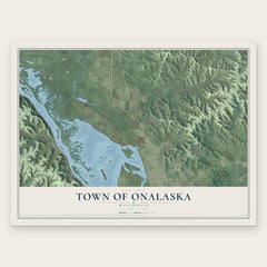
- Town of Onalaska 12" x 18" / Archival Matte Print $39.99
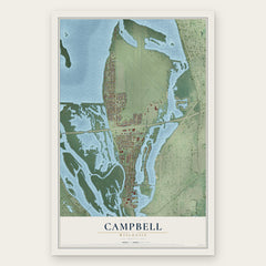
- Campbell 12" x 18" / Archival Matte Print $39.99

More maps nearby: La Crosse, Medary, West Salem, Brice Prairie and Hamilton.
The art of mapping a place
How This Map Was Made
Real places. Remarkable detail. Discover the layers that turn geographic data into a map of home.

The view from above
Aerial imagery reveals the character of the land: woodland, open fields, and the patterns of a place.

The shape of the land
Elevation data brings hills, valleys, and subtle changes in the landscape into view.

The details of home
Roads, waterways, and building footprints come together to make the map feel unmistakably local.

Geography becomes art
Considered color, shading, and typography bring the layers together in a map made for your wall.


Process illustrated with Mendon, Massachusetts. Aerial imagery: USDA NAIP. Terrain: USGS 3D Elevation Program. Map details and finished artwork: KNOWOL.
The Details
About This Print
Choose an archival matte print, or a black or white Ayous wood frame. The archival matte print is unframed.
Select your size and finish above to see the matching product image and price.
Materials & Craftsmanship
A contemporary map with the character of a classic atlas, printed on archival matte paper. Optional frames are made from Ayous wood.
Your printed map does not include the watermark shown in the full-map preview.
Shipping & Delivery
Free shipping within the United States. Every print is made to order in the USA.
Buying a gift? Add a note in your cart and we'll include it. We never put prices in the package.
Prints ship within 2 to 3 business days. Allow 7 to 10 days total from ordering for delivery. Timing may vary during holidays or periods of high order volume.
Read our shipping policy.
Returns and damaged prints
Each print is made to order. Change-of-mind refunds are not available after production.
If your print arrives damaged, misprinted or incorrect, contact support@knowol.com within 30 days of receiving it. Include your order number, photos and a description of the issue.
Read our full refund and replacement policy. For questions about your order, email support@knowol.com.