
Search for another town




Free U.S. delivery 7 to 10 days after you order
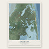
Orleans, Massachusetts Map Art
Building by building, with labeled streets and shaded relief.
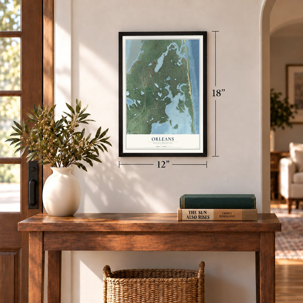
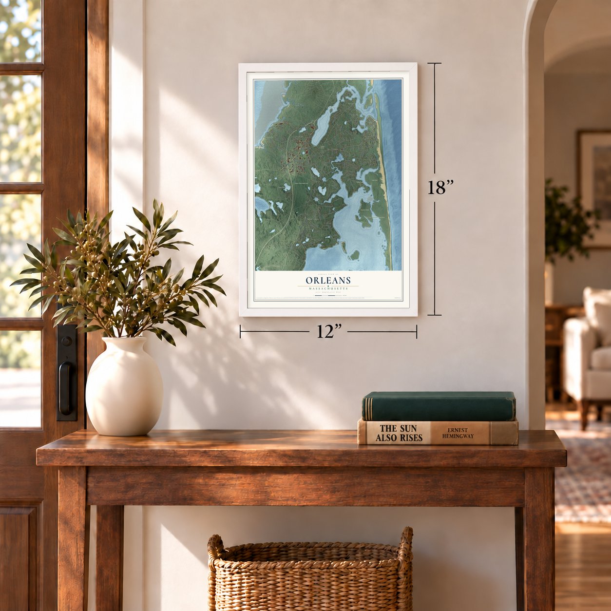
12" x 18" Archival Matte Print
A Map of Home. A Work of Art.
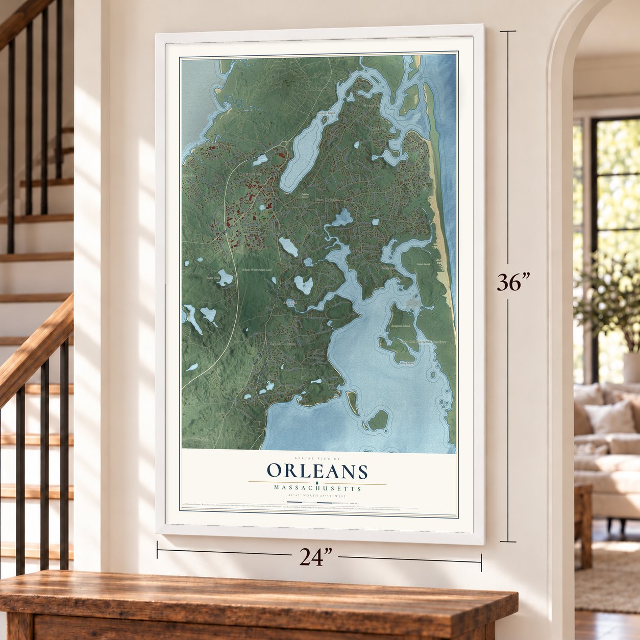
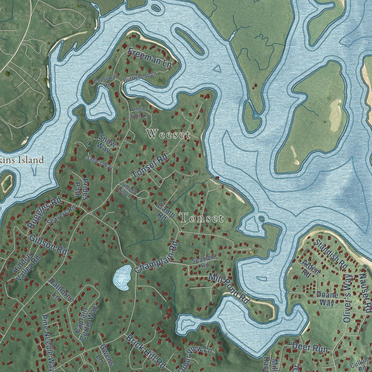
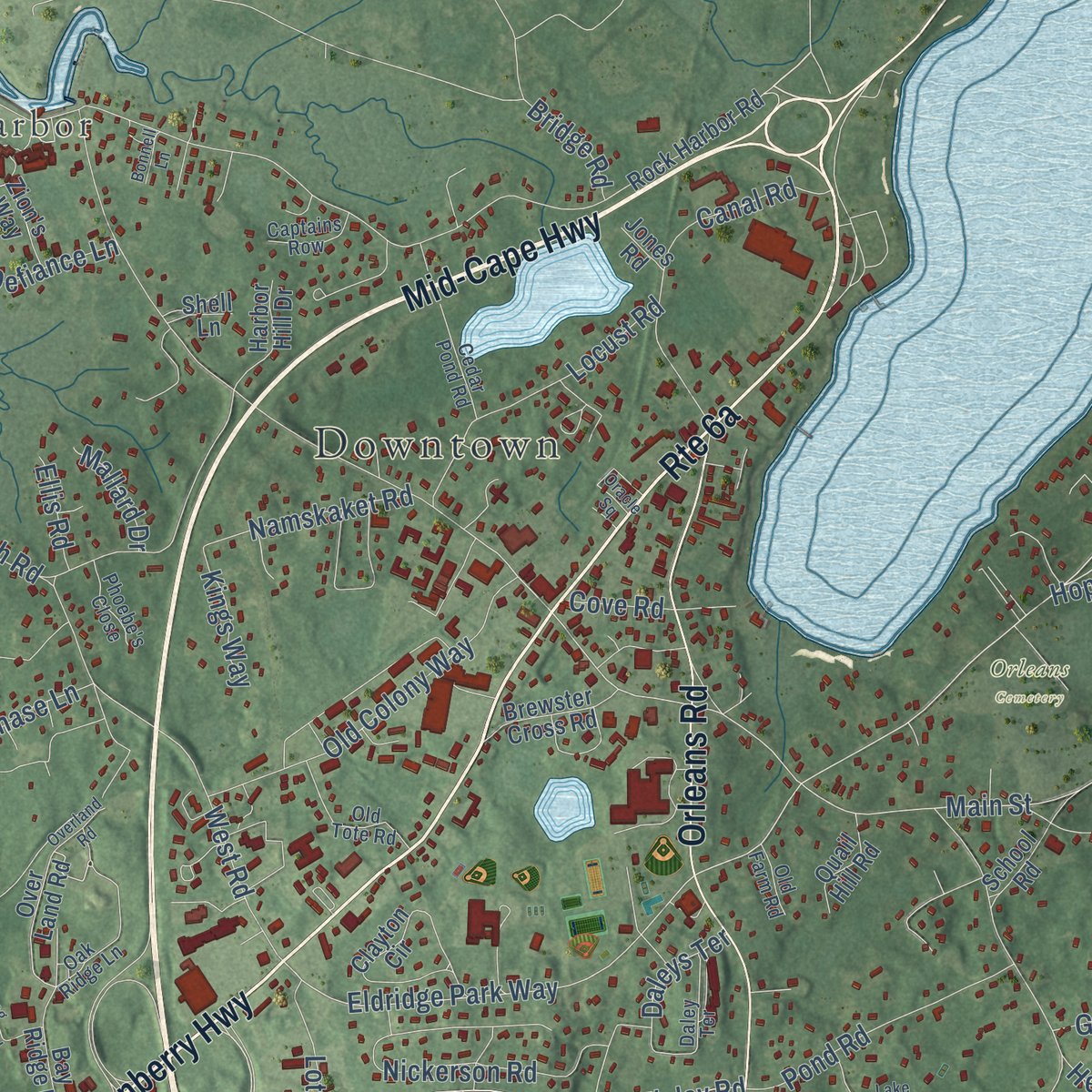
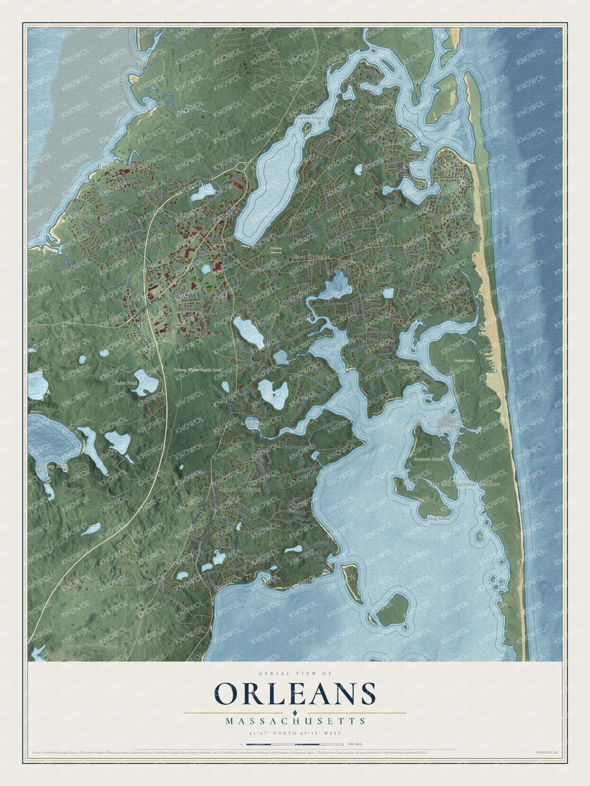
Explore Orleans, Massachusetts from a whole new perspective. Created using aerial imagery and detailed geographic data, this map captures Orleans building by building, with labeled streets, familiar landmarks, and shaded topographical relief that highlights the natural contours of the landscape.
Combining modern data with the timeless character of a vintage atlas, this map is just as interesting up close as it is beautiful on the wall. Whether you grew up in Orleans, spent memorable years there, or call it home today, this unique map is a great way to celebrate a place that means something to you. Zoom in on the preview to look for your street, and then order a print to put your memories on the wall.
Three ways to hang it
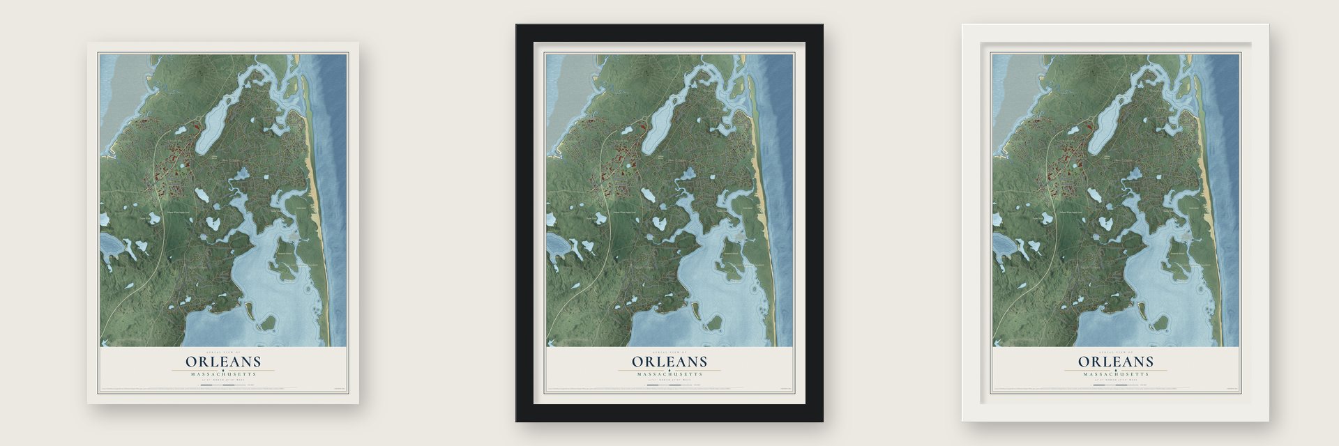
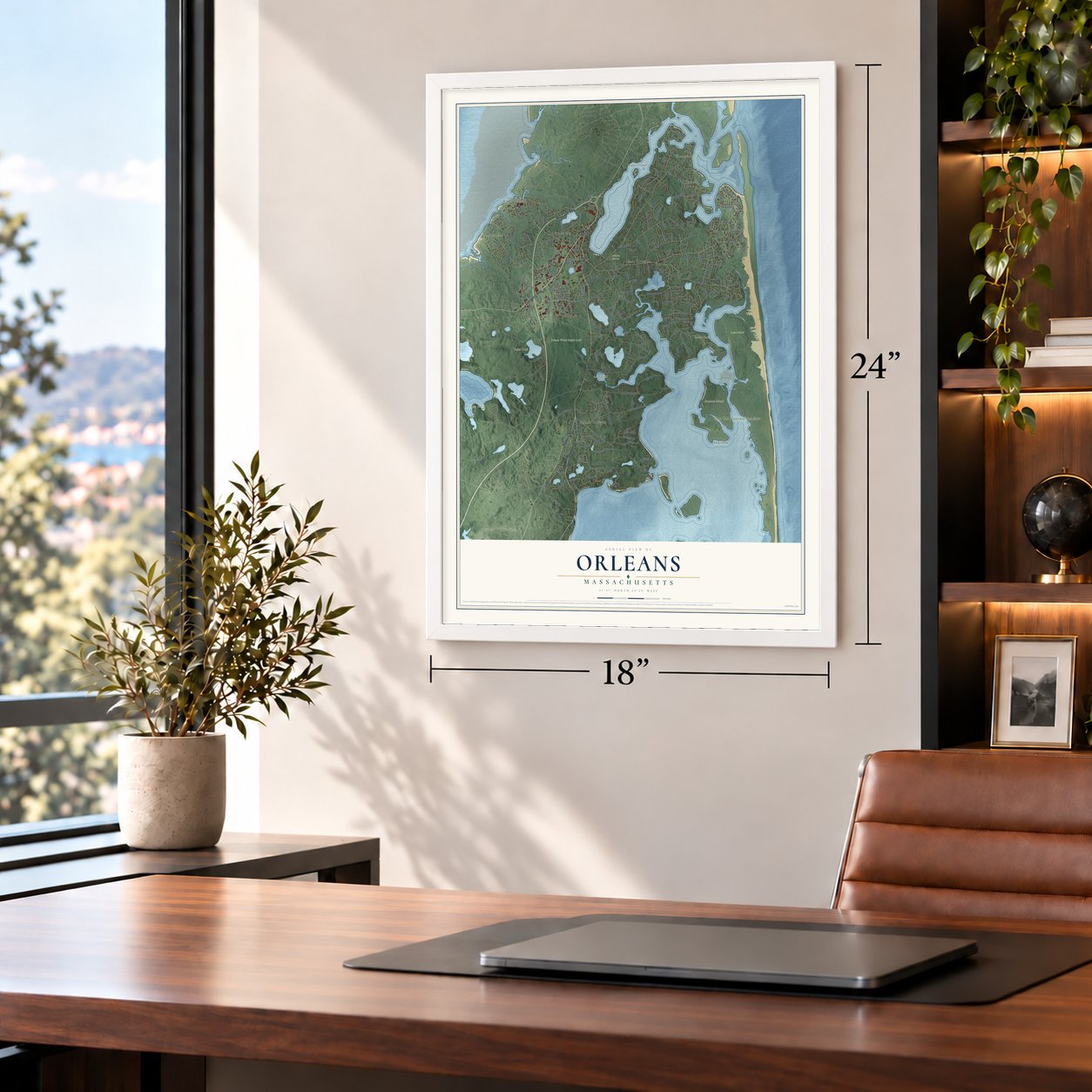
Unframed archival matte, a black wood frame or a white wood frame.
Up close
Geography Worth Displaying
This map was created using accurate cartographic data and authoritative geographic sources, including the U.S. Geological Survey (USGS) and FEMA. The map brings together terrain, waterways, roads, and building detail. The majority of the streets are labeled, houses are accurately depicted, and the topography is derived from government sources. Combining local data with carefully composed color and shading leads to this beautifully detailed Orleans artwork for your wall.
Rather than simply showing street outlines, we’ve included as many of the street names as we could reasonably fit on the map while keeping their names legible. Zoom in on the high resolution preview to see exactly what’s on the map. We truly set out to create a statement piece for anyone who loves Orleans. So whether it’s for you, or a gift for someone you love, we hope this map of Orleans brings back fond memories.
Explore the full map of Orleans, Massachusetts and read about the local places it shows.
Find your street
Names on the Orleans map
Every name below is printed on this map. Look for your street, your school, the park where you played, or the pond down the road.
Places and landmarks18
- Downtown
- Namskaket
- Rock Harbor
- Weeset
- Tonset
- Barley Neck
- Grassy Nook
- Hog Island
- Hopkins Island
- Areys Pond
- Baker Pond
- Cape Cod National Seashore
Show all 18 places
- Orleans Cemetery
- Orleans Water Supply Land
- Pochet Island
- Sampson Island
- South Orleans
- East Orleans
Streets and roads218
- Cranberry Highway
- Mid-Cape Highway
- Harwich Road
- South Orleans Road
- Orleans Road
- Bakers Pond Road
- Tonset Road
- Barley Neck Road
- Beach Road
- Brick Hill Road
- Eldridge Park Way
- Main Street
- Giddiah Hill Road
- Quanset Road
- Monument Road
- Pochet Road
- Namequoit Road
- Skaket Beach Road
- Portanimicut Road
- Arey's Lane
- Lake Drive
- Hopkins Lane
- Freeman Lane
- Briar Spring Road
- Gibson Road
- Davis Road
- Tar Kiln Road
- Great Oak Road
- West Road
- Nickerson Road
Show all 218 streets
- Oliver's Way
- Finlay Road
- Keziah's Lane
- Old Colony Way
- Winslow Drive
- Viking Road
- Canal Road
- Gosnold Road
- Uncle Israel Road
- Pershing Lane
- Tides End Lane
- Lots Hollow Road
- Cedar Land Road
- Miner Lane
- Champlain Road
- Locust Road
- Mill Pond Road
- River Road
- Pond Road
- Tom's Hollow Lane
- Ellersie Road
- Kenneth Lane
- Nauset Road
- Samoset Road
- Deer Run
- Defiance Lane
- Thayer Lane
- Ruggles Road
- Heritage Drive
- Forest Way
- Loomis Lane
- Grandview Drive
- Boulder Lane
- Namskaket Road
- Chestnut Drive
- Lisa Way
- Grannys Lane
- Henson's Way
- Twiss Road
- Eli Rogers Road
- Hinkle Lane
- Fox Ridge Drive
- Cove Road
- Gull Lane
- Surf Boat Lane
- Meg's Lane
- Chase Lane
- Harveys Lane
- Kings Way
- Lovell Lane
- Gesner Road
- Cross Road
- Daleys Terrace
- Mallard Drive
- Bridge Road
- The Lane
- Ellis Road
- Orleans-Chatham Road
- Jack Knife Point Road
- Over Land Road
- Joy Lane
- Rock Harbor Road
- Captain Linnell Road
- Captain Curtis Way
- Payson Lane
- Towhee Lane
- Kescayoganset Road
- Clayton Circle
- Rayber Road
- Shore View Drive
- Pine Needle Way
- Nichols Road
- Bay Ridge Lane
- Willie Atwood Road
- Orie Lane
- Alden Road
- Doane Way
- Pine Ridge Lane
- High Tide Lane
- Sea Mist Drive
- Old Field Lane
- Harbor View Lane
- Crystal Lake Drive
- Brewster Cross Road
- Hidden Valley Road
- Paradise Lane
- School Road
- Carlton Road
- Franz Road
- Standish Road
- Hubler Lane
- Greymoor Way
- Dunluken Lane
- Harbor Hill Drive
- Sibsie Lane
- Frost Fish Lane
- Richwood Farm Lane
- Prides Path
- Quail Hill Road
- Cheney Road
- Old Field Road
- Collins Lane
- Country Crossing
- Camp Road
- Baxter Lane
- Pilgrim Lake Terrace
- Zion's Way
- Walker Road
- Shoal Lane
- Inlet Road
- Surf Path
- Cole Place
- Gwens Lane
- Hathorne Lane
- Holly Lane
- Snow Way
- Hofe Road
- Maple Road
- Mill Race
- Fells Lane
- Mayo Way
- Oak Lane
- Shell Lane
- Jones Road
- Mill Lane
- High Street
- Fox Lane
- Countryside Drive
- Weston Taylors Lane
- Shorewood Drive
- Twinings Lane
- Ewing Drive
- Horseshoe Lane North
- Daley Terrace
- Oak Ridge Lane
- Indian Fort Hill Lane
- Old Tote Road
- Seavers Road
- Dale Ann Drive
- Industry Way
- Cedar Pond Road
- Ridgewood Road
- Fisher Way
- John Kenrick Road
- Colony Drive
- Phoebe's Close
- Captains Row
- Rohmers Road
- Seaview Road
- Mizzentop Lane
- Carolines Way
- Cullum Road
- Old Farm Road
- Nauset Farm Lane
- Pilgrim Drive
- Marsh Lane
- Etta's Way
- Old Duck Hole Road
- Bufflehead Lane
- Juniper Hill Lane
- Pomphos Trail
- Hayward Lane
- Wildflower Lane
- Uncle Jims Lane
- Whipporwill Lane
- Cedar Cove Road
- Westwood Drive
- Woodridge Road
- Lake Farm Lane
- Primrose Lane
- Thelma's Way
- Bog Hollow Road
- Oracle Square
- Minotts Way
- Little Bay Road
- Highview Lane
- Sage's Way
- Country Lane
- Natural Drive
- Causeway Road
- Packet Landing
- Blueberry Lane
- Kingsbury Lane
- Overland Road
- Lucy's Lane
- Crows Landing
- Bonnell Lane
- Cygnet Lane
Names are listed as they appear on the printed map. Zoom into the product photos to find them.
About Orleans, Massachusetts
Orleans is a town of 6,307 people in Barnstable County, at the elbow of Cape Cod with Cape Cod Bay on one side and the Atlantic on the other. Pilgrims from the Plymouth Colony settled here in 1693 because the land they had been granted was too small and too poor to farm well. The settlement stayed part of Eastham until 1797, when it broke away and was incorporated as a town.
Residents named it for Louis Philippe II, Duke of Orléans, to thank France for its help during the Revolution. The British had captured the town twice in that war, so its people refused to give it an English name. The first settlers lived by fishing, whaling and farming, and salt works were built to preserve the catch. Building used up the local timber until the railroad hauled lumber in from the mainland in the 1800s and brought the first tourists with it. Tourism grew again after President John F. Kennedy created the Cape Cod National Seashore in 1961.
“This was the first time that a foreign nation had fired artillery on United States soil since the Siege of Fort Texas in 1848.”
- Rock Harbor in 1814During the War of 1812, British marines from HMS Newcastle landed at Rock Harbor on December 19, 1814, and set two boats on fire. Townspeople put out the flames and drove the landing party away.
- A cable from FranceBy 1898 the station was the landing point of a 3,200-mile telegraph cable that ran beneath the Atlantic from France. Ten local citizens of Orleans purchased the building in 1972, and it now serves as a museum, the French Cable Station.
- Shelled in 1918On July 21, 1918, a German submarine fired on a tug and barges three miles off the coast, and a few shells fell in a marsh and on Nauset Beach. Coast Guard Station No. 40 sent its crew rowing out through the gunfire, and they saved all 32 sailors aboard. No one was killed.
- Eldredge Park, 1913Louis Winslow "Win" Eldredge donated the land for Eldredge Park, which opened in 1913 and is the Cape Cod Baseball League's oldest ballpark.
Keep exploring Massachusetts
Orleans is one of 461 Massachusetts towns we've mapped. Every dot on the map is a print of its own.
The search covers every state, Massachusetts first.
Near Orleans
Order 2 or more town maps and save 10%. Shown in the size and finish you picked above, so they hang as a set.
- North Eastham 12" x 18" / Archival Matte Print $39.99
- East Harwich 12" x 18" / Archival Matte Print $39.99
- Brewster 12" x 18" / Archival Matte Print $39.99


More maps nearby: Eastham, West Chatham, Harwich, Harwich Port and Chatham.
The art of mapping a place
How This Map Was Made
Real places. Remarkable detail. Discover the layers that turn geographic data into a map of home.

The view from above
Aerial imagery reveals the character of the land: woodland, open fields, and the patterns of a place.

The shape of the land
Elevation data brings hills, valleys, and subtle changes in the landscape into view.

The details of home
Roads, waterways, and building footprints come together to make the map feel unmistakably local.

Geography becomes art
Considered color, shading, and typography bring the layers together in a map made for your wall.


Process illustrated with Mendon, Massachusetts. Aerial imagery: USDA NAIP. Terrain: USGS 3D Elevation Program. Map details and finished artwork: KNOWOL.
The Details
About This Print
Choose an archival matte print, or a black or white Ayous wood frame. The archival matte print is unframed.
Select your size and finish above to see the matching product image and price.
Materials & Craftsmanship
A contemporary map with the character of a classic atlas, printed on archival matte paper. Optional frames are made from Ayous wood.
Your printed map does not include the watermark shown in the full-map preview.
Shipping & Delivery
Free shipping within the United States. Every print is made to order in the USA.
Buying a gift? Add a note in your cart and we'll include it. We never put prices in the package.
Prints ship within 2 to 3 business days. Allow 7 to 10 days total from ordering for delivery. Timing may vary during holidays or periods of high order volume.
Read our shipping policy.
Returns and damaged prints
Each print is made to order. Change-of-mind refunds are not available after production.
If your print arrives damaged, misprinted or incorrect, contact support@knowol.com within 30 days of receiving it. Include your order number, photos and a description of the issue.
Read our full refund and replacement policy. For questions about your order, email support@knowol.com.