
Search for another town

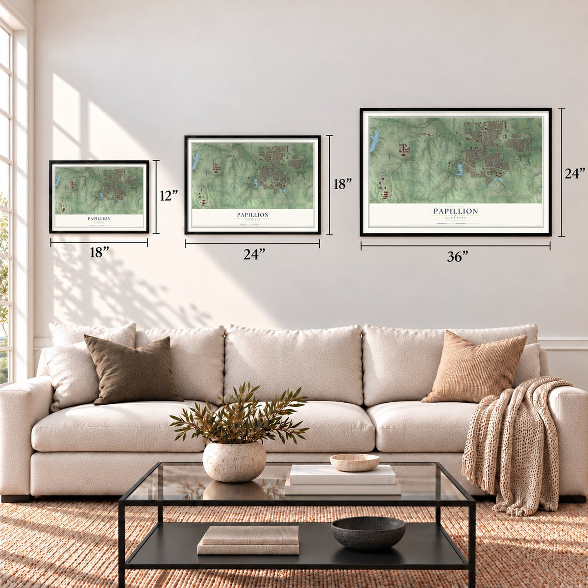


Free U.S. delivery 7 to 10 days after you order
Papillion, Nebraska Map Art
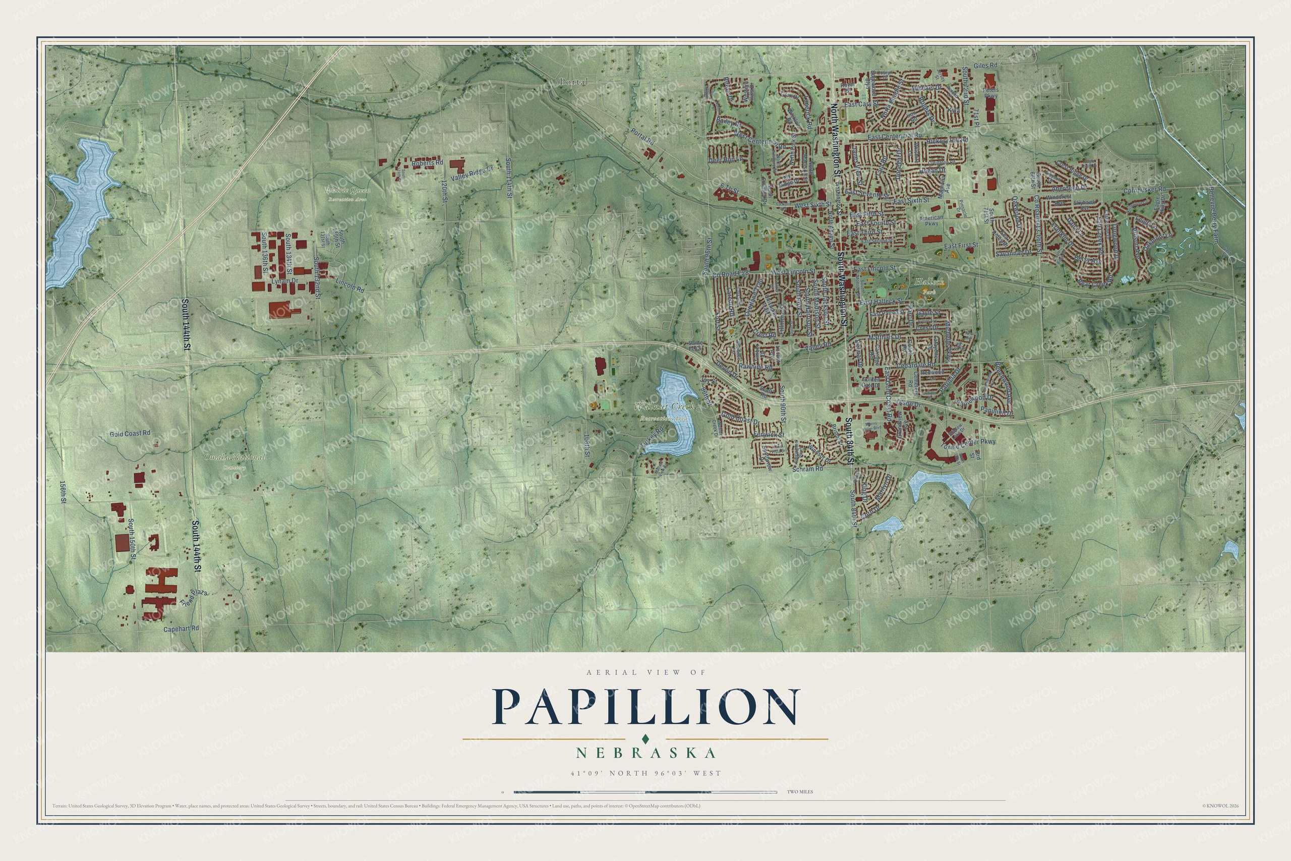
A new map of Papillion, Nebraska, made in 2026 and printed to order on thick archival matte paper.
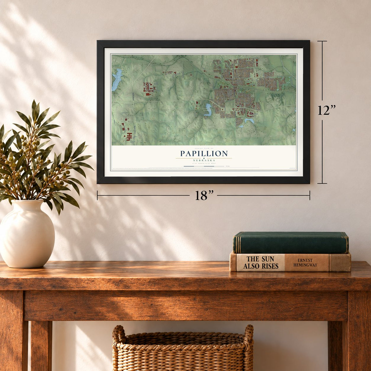
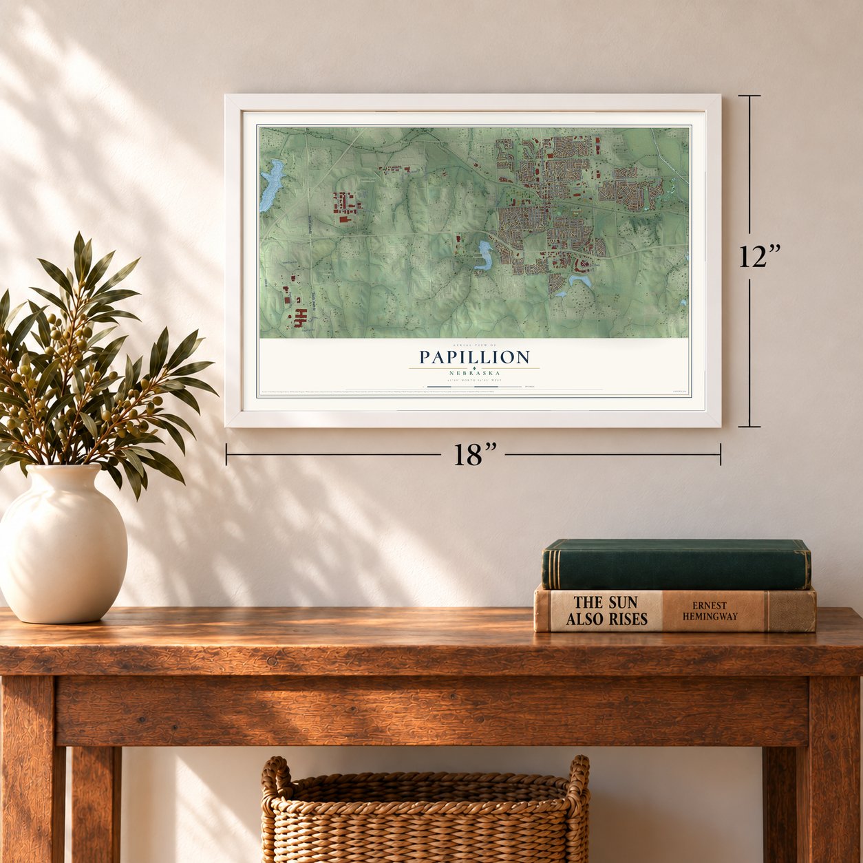
12" x 18" Archival Matte Print
A Map of Home. A Work of Art.
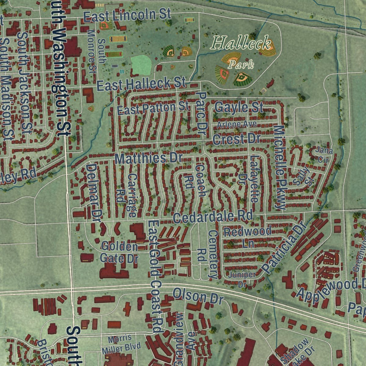
Explore Papillion, Nebraska from a whole new perspective. Created using aerial imagery and detailed geographic data, this map captures Papillion building by building, with labeled streets, familiar landmarks, and shaded topographical relief that highlights the natural contours of the landscape.
Combining modern data with the timeless character of a vintage atlas, this map is just as interesting up close as it is beautiful on the wall. Whether you grew up in Papillion, spent memorable years there, or call it home today, this unique map is a great way to celebrate a place that means something to you. Zoom in on the preview to look for your street, and then order a print to put your memories on the wall.
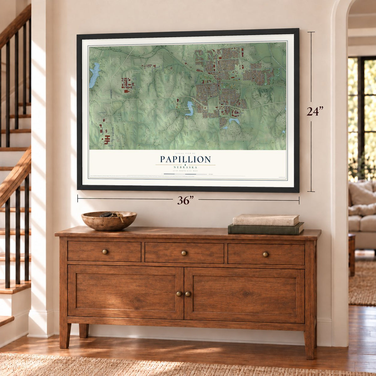
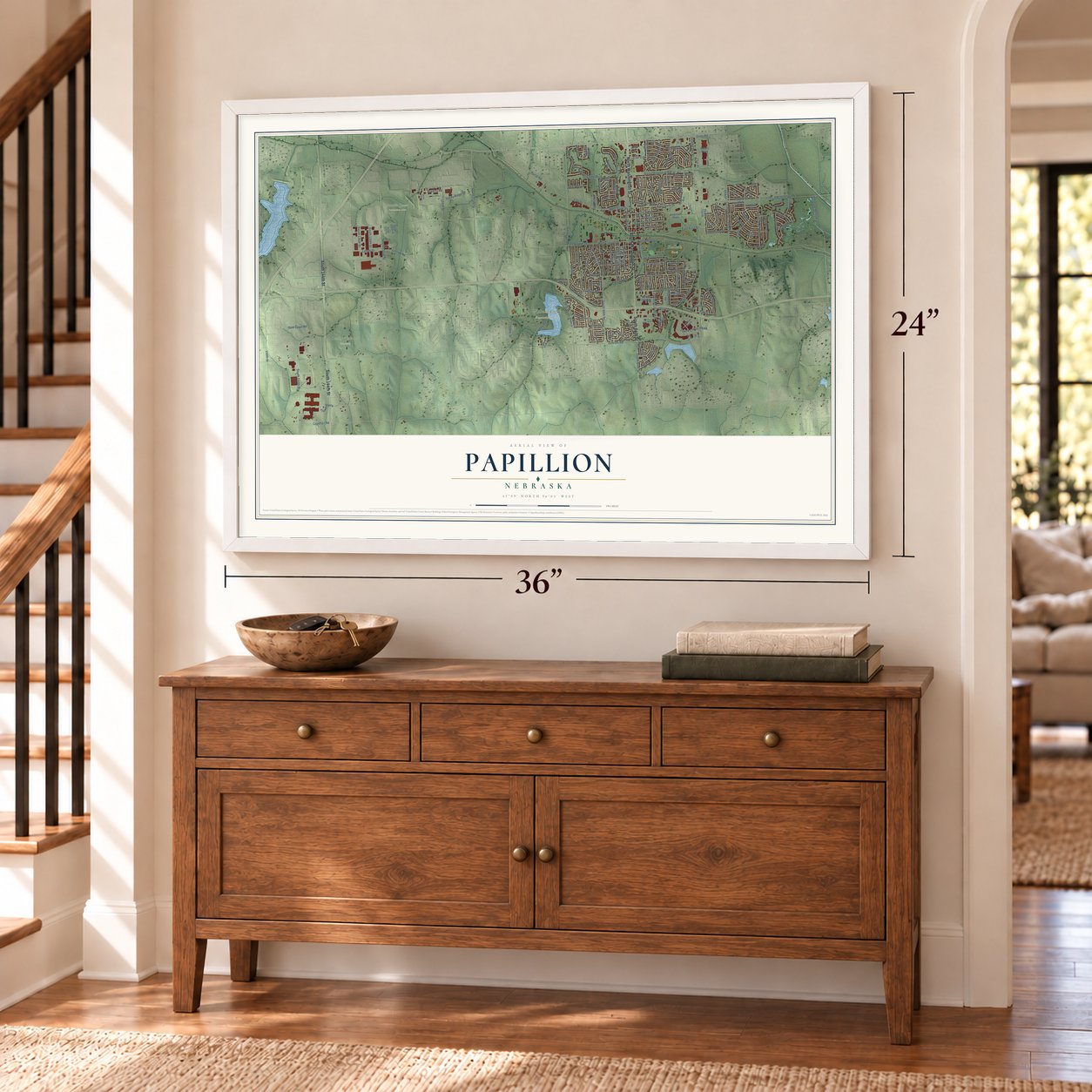
Three ways to hang it
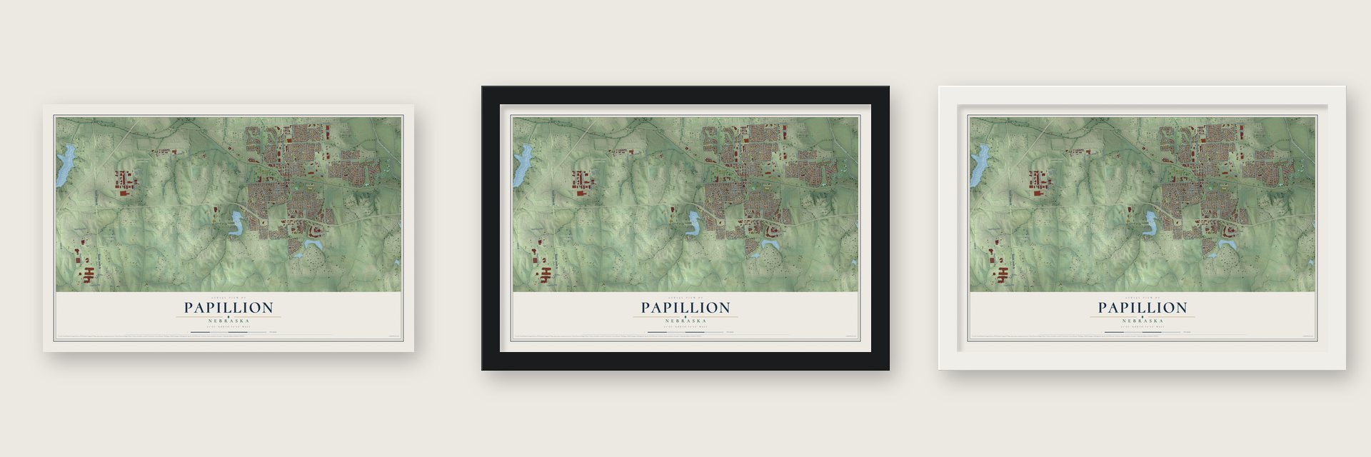
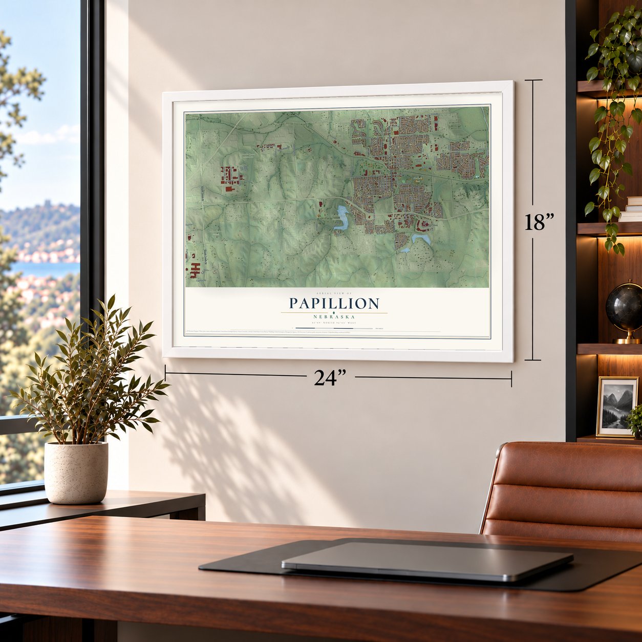
Unframed archival matte, a black wood frame or a white wood frame.
Up close
Geography Worth Displaying
This map was created using accurate cartographic data and authoritative geographic sources, including the U.S. Geological Survey and the Census Bureau. The map brings together terrain, waterways, roads, and building detail. The majority of the streets are labeled, houses are accurately depicted, and the topography is derived from government sources. Combining local data with carefully composed color and shading leads to this beautifully detailed Papillion artwork for your wall.
Rather than simply showing street outlines, we’ve included as many of the street names as we could reasonably fit on the map while keeping their names legible. Zoom in on the high resolution preview to see exactly what’s on the map. We truly set out to create a statement piece for anyone who loves Papillion. So whether it’s for you, or a gift for someone you love, we hope this map of Papillion brings back fond memories.
Read the story behind this map of Papillion, Nebraska from 2026.

About Papillion, Nebraska
Papillion is a city of 24,159 people and the county seat of Sarpy County, just southwest of Omaha. France claimed this land through the eighteenth century, and French explorers named the creek that runs through the middle of town for the butterfly, papillon. Local tradition says they chose the name because butterflies crowded the grass along its banks, and over time the spelling changed to Papillion.
Railroad tracks reached this spot in 1870, and the town was platted that same year. It kept growing through the 1870s as a stop on the line, and residents still often call it Papio. Since the late twentieth century it has grown along with Omaha, and by 2020 it ranked 7th in population among Nebraska's cities.
- The old courthouse downtownDowntown Papillion's municipal building served as the Sarpy County Courthouse until 1970, when county business moved south toward Highway 370. The Third Sarpy County Courthouse joined the National Register in 1990.
- The Sautter farmhouseThe John Sautter Farmhouse joined the National Register in 1980. Downtown also holds the Portal One-Room School House, Sump Memorial Library and A.W. Clarke's old banking house.
- A high school since 1876Papillion-La Vista High School dates to 1876. The building that now holds Papillion Middle School, south of Papio Creek, was the town's high school until August 1971.
- Triple-A baseball next doorThe Omaha Royals played 42 years at Rosenblatt Stadium, in south Omaha, then left after the 2010 season and took the name Storm Chasers. Their new home, Werner Park, opened in 2011 on Highway 370, three miles southwest of Papillion.
- A congressman and a historianU.S. Representative Don Bacon and the historian Merle Curti are among the people tied to Papillion.
Find your street
Names on the Papillion map
Every name below is printed on this map. Look for your street, your school, the park where you played, or the pond down the road.
Places and landmarks5
- Halleck Park
- Omaha National Cemetery
- Prairie Queen Recreation Area
- Walnut Creek Recreation Area
- Portal
Streets and roads181
- North Washington Street
- South Washington Street
- South 144th Street
- South 84th Street
- Gold Coast Road
- Portal Road
- East Sixth Street
- East Gold Coast Road
- West Sixth Street
- 6 Th Street
- Gold Coast Drive
- South 96th Street
- Hogan Drive
- 96th Street
- Bellevue Berry Farm
- 156th Street
- Joy Street
- West Lincoln Street
- East Lincoln Street
- Fenwick Street
- Oakwood Drive
- Aberdeen Drive
- West Centennial Road
- East Fifth Street
- East Centennial Road
- 66th Street
- County Road G13
- Donegal Drive
- East Seventh Street
- Reeve Drive
Show all 181 streets
- Schram Road
- Cornhusker Road
- South 72nd Street
- Giles Road
- South 132nd Street
- North Beadle Street
- Cedardale Road
- Capehart Road
- East First Street
- 108th Street
- East Cary Street
- South 150th Street
- South 90th Street
- Olson Drive
- Friend Plaza
- Applewood Drive
- Towne Center Parkway
- Turkey Road
- Overland Trail
- Matthies Drive
- Fall Creek Road
- Corn Drive
- County Road E28
- Savannah Drive
- Franklin Drive
- Devon Drive
- South Jackson Street
- South Harrison Street
- Crest Drive
- Rawhide Road
- Lincoln Road
- South Madison Street
- Valley Ridge Drive
- Crest Road
- Fillmore Street
- Michael Drive
- Fort Street
- Leigh Lane
- 120th Street
- Hickory Hill Road
- Patricia Drive
- Parc Drive
- Rogers Drive
- Bailey Drive
- East Fourth Street
- East Halleck Street
- South 114th Street
- East Third Street
- Limerick Road
- Oakmont Lane
- Dana Lane
- 71st Place
- Deer Run Lane
- South Polk Street
- Tara Road
- King Drive
- Longwood Drive
- Michelle Parkway
- Beechwood Avenue
- Allison Avenue
- Papillion Drive
- South 134th Street
- Lynam Drive
- South 136th Street
- Janes View Street
- Valley Road
- Roberts Road
- Laredo Road
- Bear Creek Road
- Marilyn Drive
- Betsy Avenue
- Delmar Drive
- Gayle Street
- Kyla
- Magnolia Avenue
- Western Hills Drive
- North Adams Street
- Windcrest Avenue
- Edgewood Boulevard
- American Parkway
- South 130th Street
- Windsor Drive
- North Polk Street
- Chisholm Trail
- Bristol Street
- Skyhawk Avenue
- Lafayette Drive
- Crest Ridge Drive
- Southview Drive
- Royal Drive
- Grandview Avenue
- Golden Gate Drive
- East Patton Street
- Cork Drive
- Eagle Hills Drive
- Wicklow Road
- North Madison Street
- Scott Road
- 73rd Street
- Iron Road
- Redwood Lane
- Peters Parkway
- Elk Ridge Drive
- South 66th Street
- Sea Pines Drive
- Cemetery Road
- Carriage Road
- Coach Road
- North Frontier Drive
- Wilshire Lane
- South 71st Street
- Sante Fe Circle
- Timber Drive
- Locust Avenue
- Walnut Creek Drive
- 48th Street
- Barrington Parkway
- Shadow Lake Drive
- Castle Pine Drive
- Creighton Road
- Roland Drive
- Joseph Drive
- East Second Street
- North Fillmore Street
- South 131st Street
- Shawnee Road
- South Monroe Street
- Greyson Drive
- Queen Drive
- Jersey Street
- Pinnacle Drive
- Corral Street
- Sally Street
- Washington Street
- County Road E26
- South 75th Street
- Eagle Ridge Drive
- Eagle Crest Drive
- Norton Drive
- Greenwood Avenue
- Arlene Avenue
- Lambert Drive
- Northwood Circle
- Lake Vista Drive
- Taylor Street
- Morris Miller Boulevard
- Juniper Drive
- Frontier Drive
- South 124th Street
- Mallard View Circle
- Jana Circle
Names are listed as they appear on the printed map. Zoom into the product photos to find them.
The art of mapping a place
How This Map Was Made
Real places. Remarkable detail. Discover the layers that turn geographic data into a map of home.

The view from above
Aerial imagery reveals the character of the land: woodland, open fields, and the patterns of a place.

The shape of the land
Elevation data brings hills, valleys, and subtle changes in the landscape into view.

The details of home
Roads, waterways, and building footprints come together to make the map feel unmistakably local.

Geography becomes art
Considered color, shading, and typography bring the layers together in a map made for your wall.


Process illustrated with Mendon, Massachusetts. Aerial imagery: USDA NAIP. Terrain: USGS 3D Elevation Program. Map details and finished artwork: KNOWOL.
The Details
About This Print
Choose an archival matte print, or a black or white Ayous wood frame. The archival matte print is unframed.
Select your size and finish above to see the matching product image and price.
Materials & Craftsmanship
A contemporary map with the character of a classic atlas, printed on archival matte paper. Optional frames are made from Ayous wood.
Your printed map does not include the watermark shown in the full-map preview.
Shipping & Delivery
Free shipping within the United States. Every print is made to order in the USA.
Buying a gift? Add a note in your cart and we'll include it. We never put prices in the package.
Prints ship within 2 to 3 business days. Allow 7 to 10 days total from ordering for delivery. Timing may vary during holidays or periods of high order volume.
Read our shipping policy.
Returns and damaged prints
Each print is made to order. Change-of-mind refunds are not available after production.
If your print arrives damaged, misprinted or incorrect, contact support@knowol.com within 30 days of receiving it. Include your order number, photos and a description of the issue.
Read our full refund and replacement policy. For questions about your order, email support@knowol.com.
Find your town
Looking for another city?
Find a map of home in our Nebraska collection, or any town in the country.
Nearby
Maps of towns near Papillion
Know someone from one of these towns? Their map makes a great gift.
 Richfield
, Nebraska
From $39.99See the map
 La Vista
, Nebraska
From $39.99See the map
 Chalco
, Nebraska
From $39.99See the map
More maps nearby: Springfield, Ralston, Gretna, Cedar Creek and Bellevue.