
Search for another town

Free U.S. delivery 7 to 10 days after you order
Paris, Tennessee Map Art
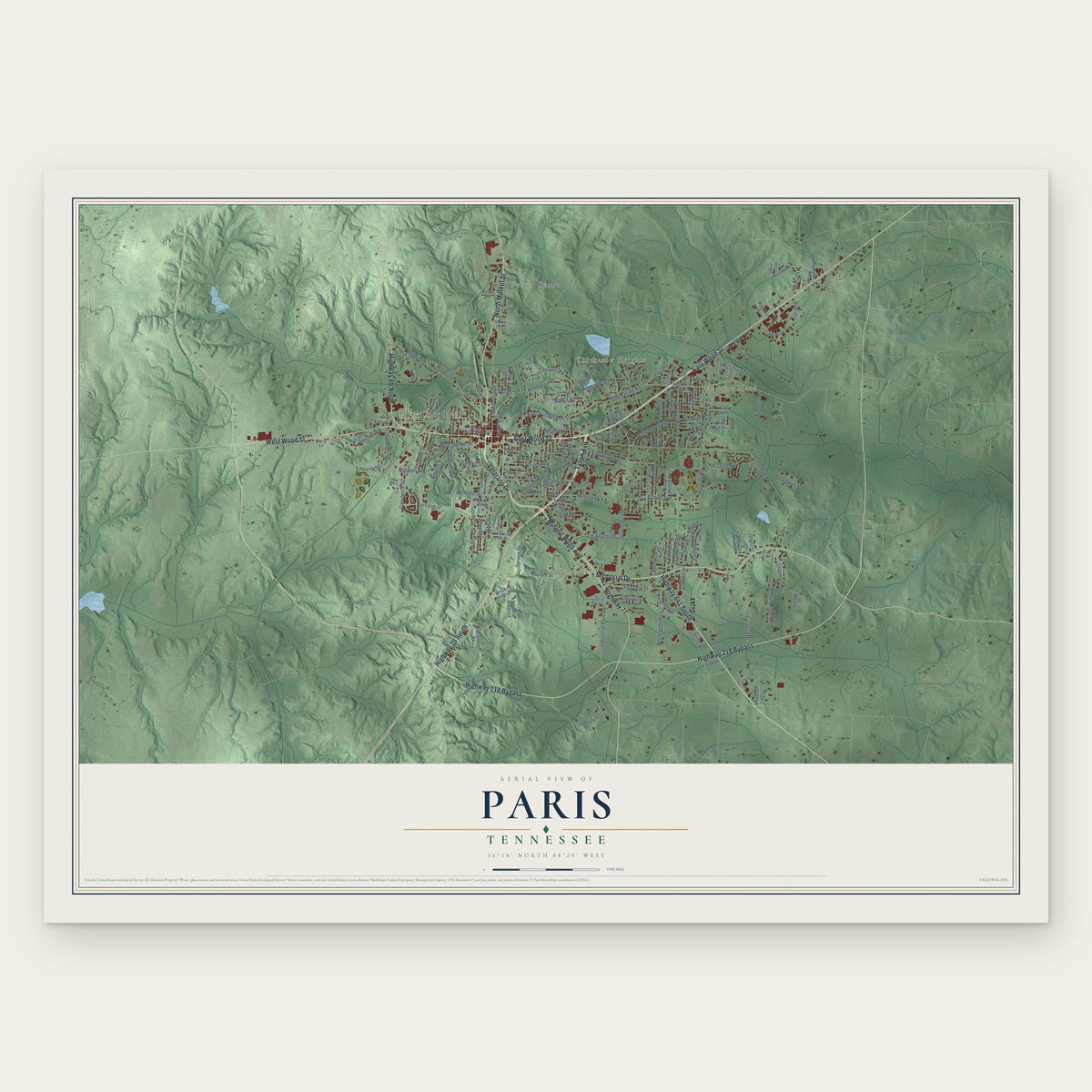
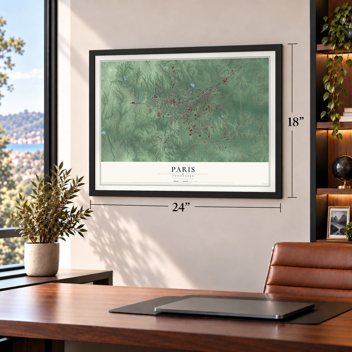
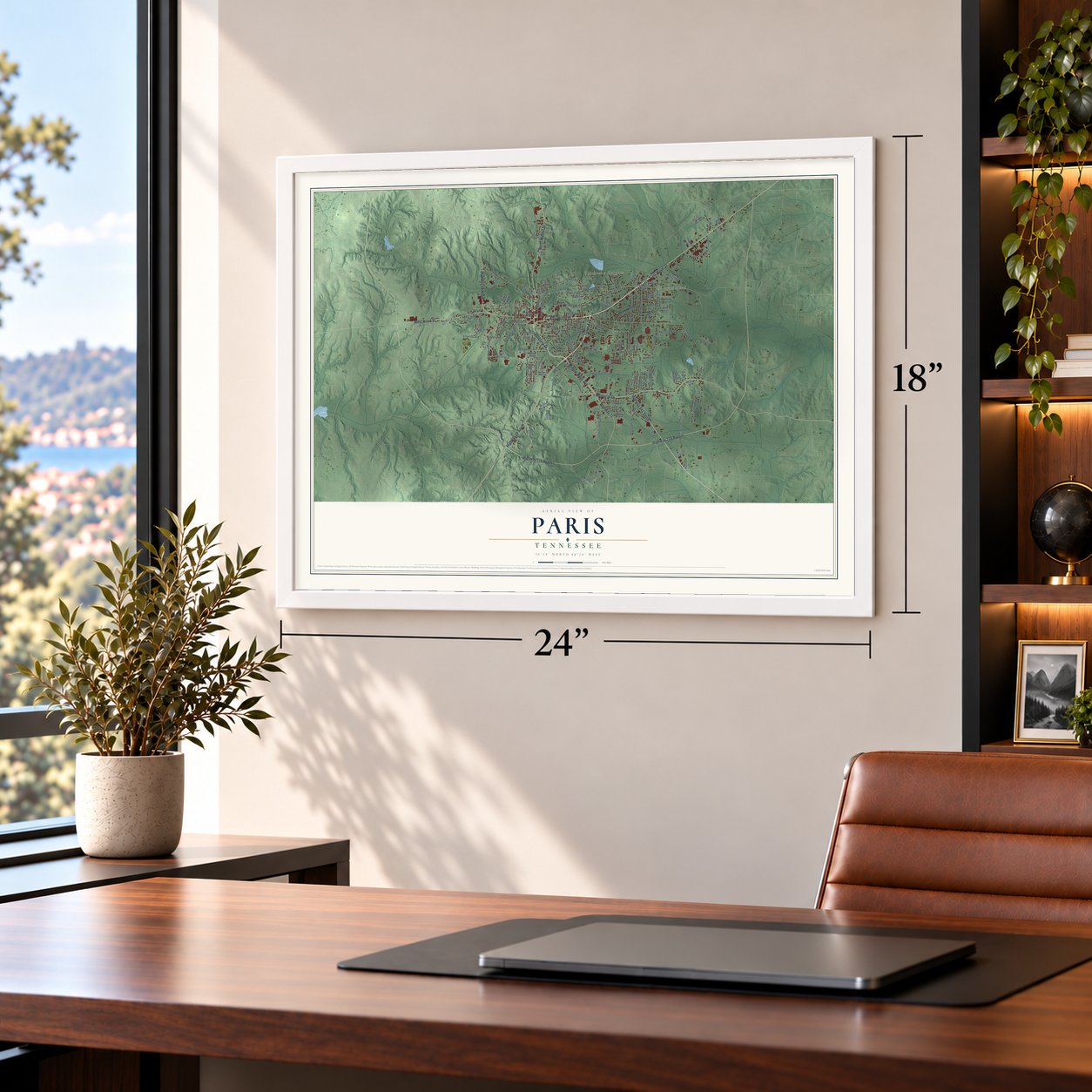
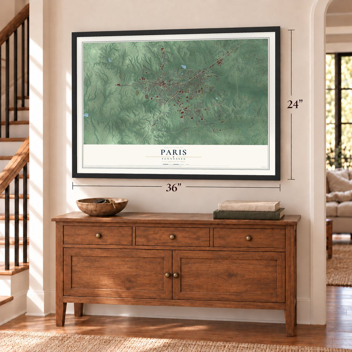
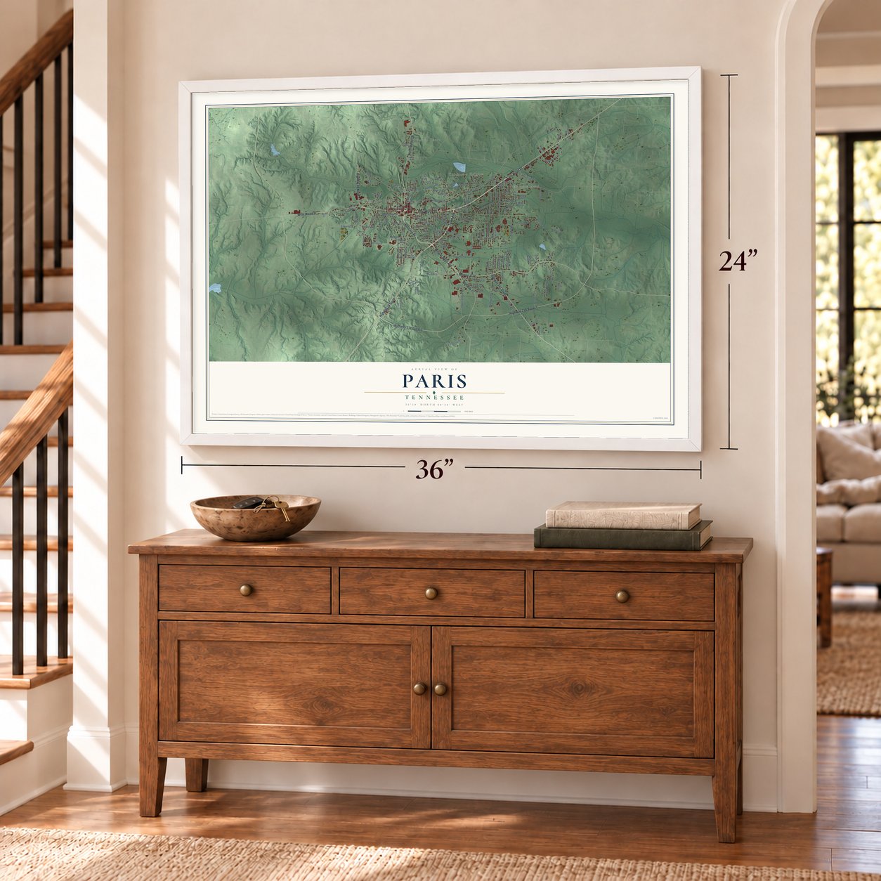
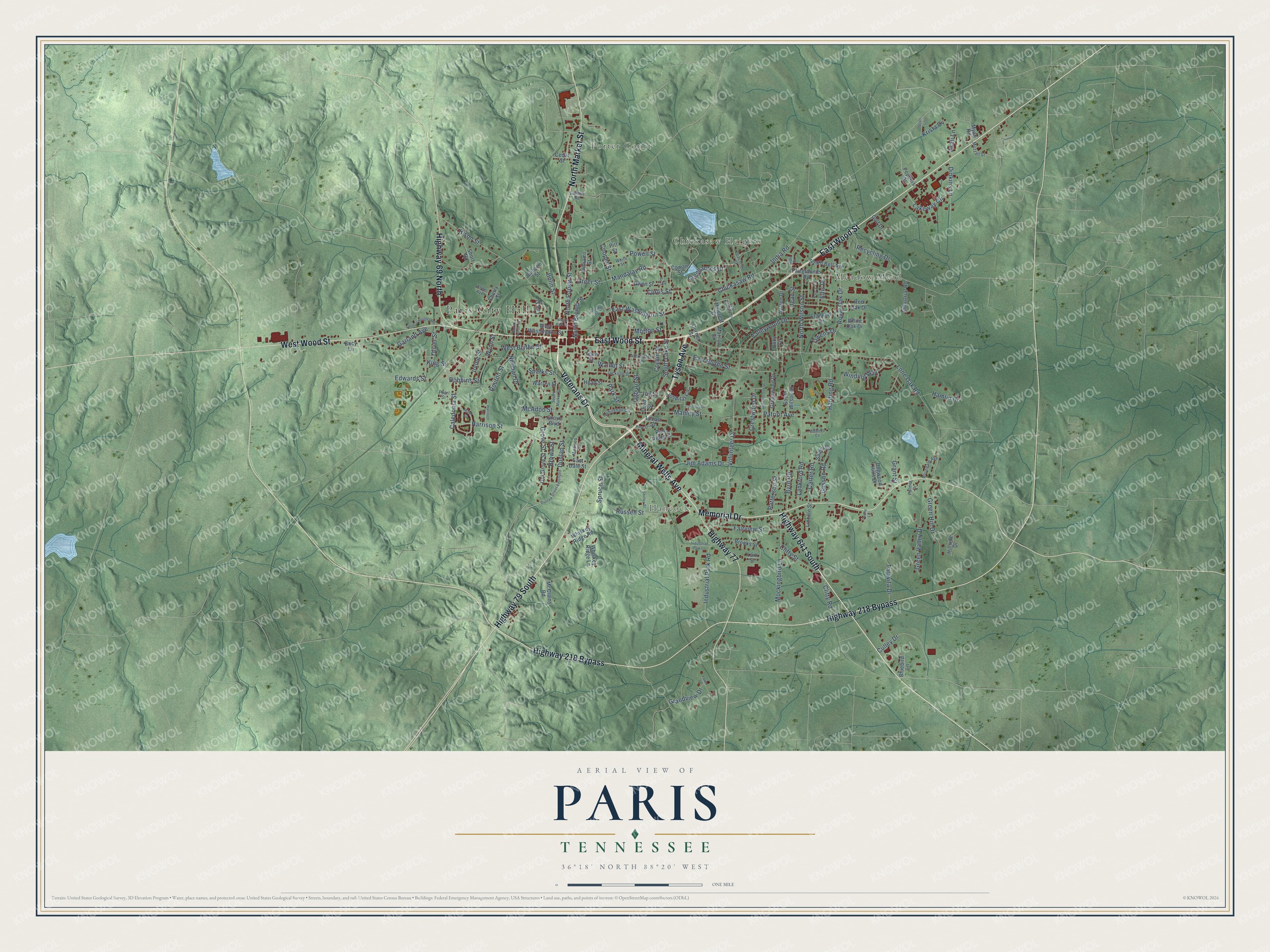
A new map of Paris, Tennessee, made in 2026 and printed to order on thick archival matte paper.
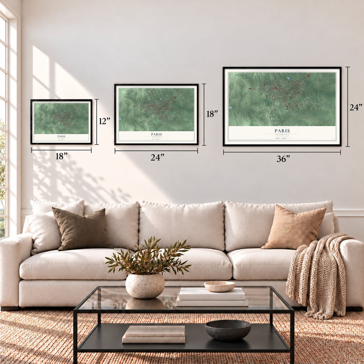
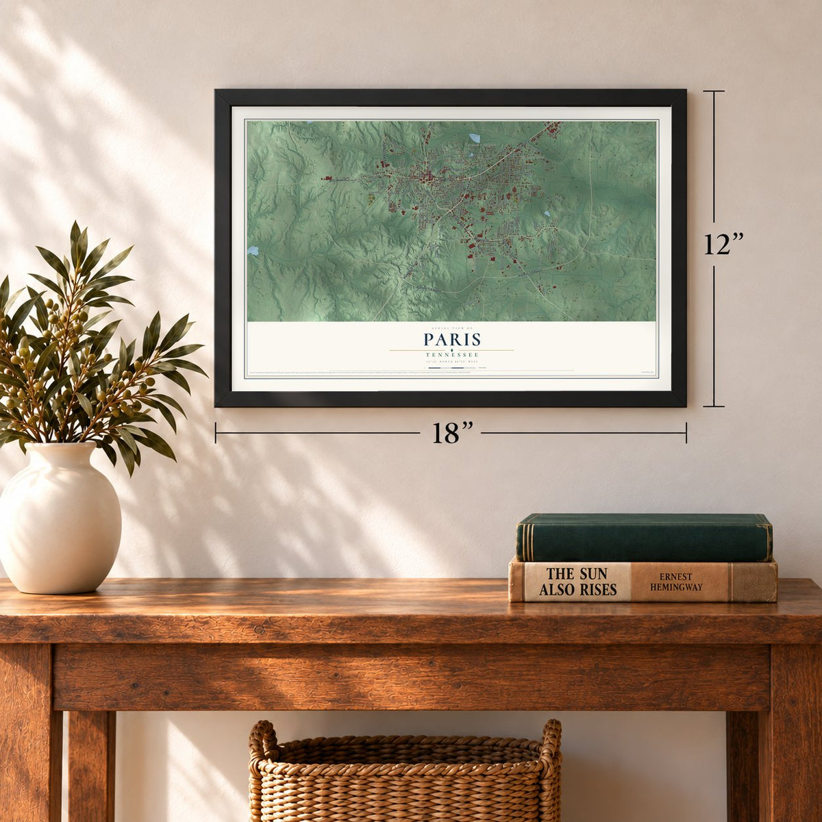
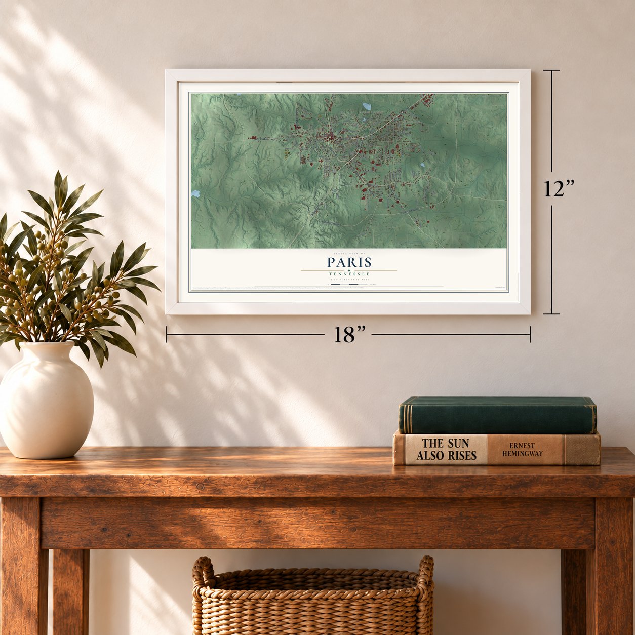
12" x 18" Archival Matte Print
A Map of Home. A Work of Art.
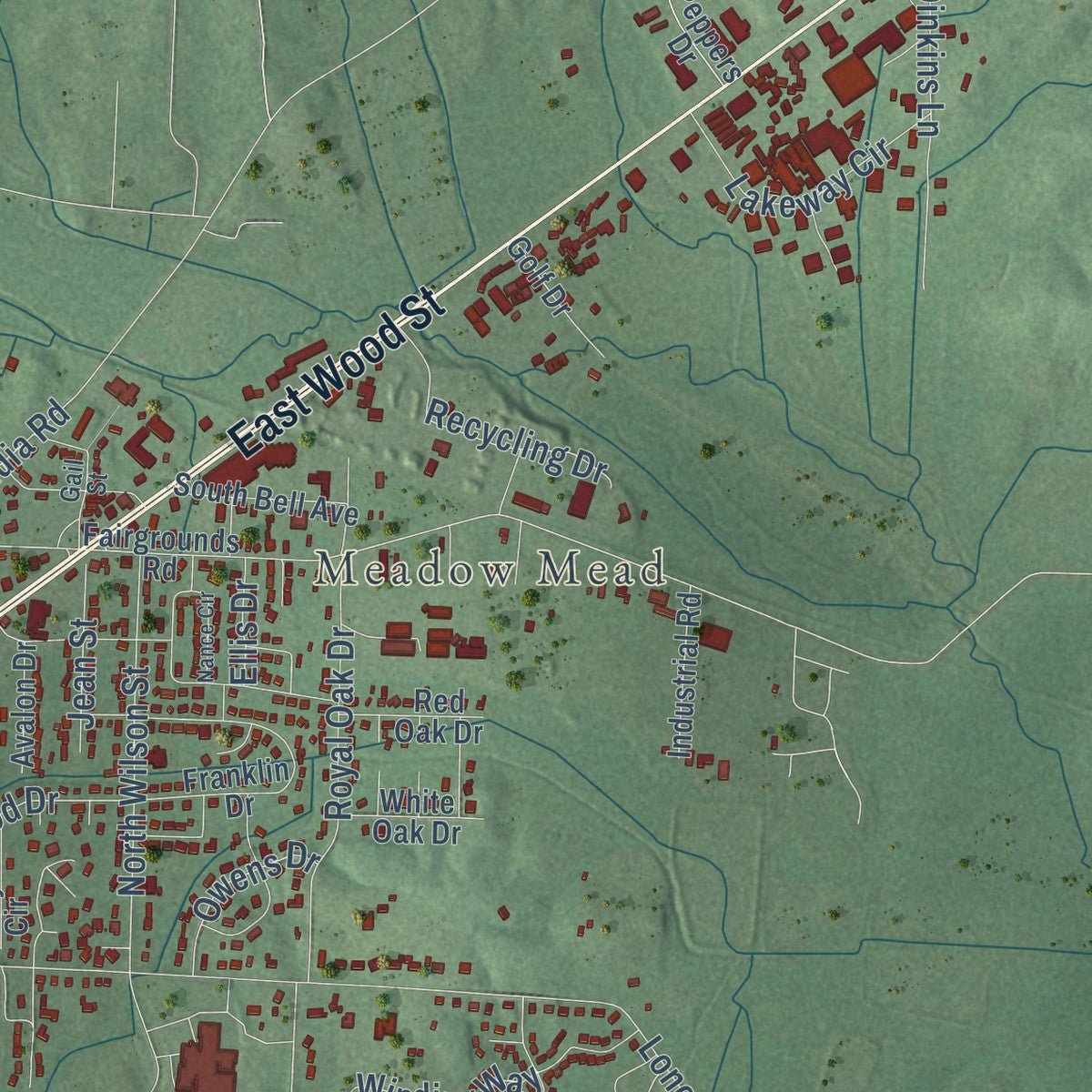
Explore Paris, Tennessee from a whole new perspective. Created using aerial imagery and detailed geographic data, this map captures Paris building by building, with labeled streets, familiar landmarks, and shaded topographical relief that highlights the natural contours of the landscape.
Combining modern data with the timeless character of a vintage atlas, this map is just as interesting up close as it is beautiful on the wall. Whether you grew up in Paris, spent memorable years there, or call it home today, this unique map is a great way to celebrate a place that means something to you. Zoom in on the preview to look for your street, and then order a print to put your memories on the wall.
Three ways to hang it
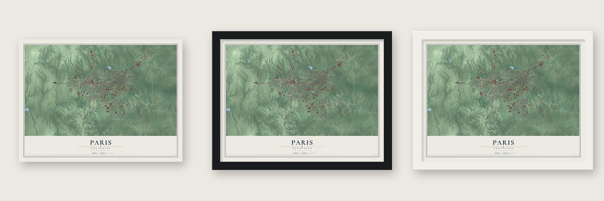
Unframed archival matte, a black wood frame or a white wood frame.
Up close
Geography Worth Displaying
This map was created using accurate cartographic data and authoritative geographic sources, including the U.S. Geological Survey and the Census Bureau. The map brings together terrain, waterways, roads, and building detail. The majority of the streets are labeled, houses are accurately depicted, and the topography is derived from government sources. Combining local data with carefully composed color and shading leads to this beautifully detailed Paris artwork for your wall.
Rather than simply showing street outlines, we’ve included as many of the street names as we could reasonably fit on the map while keeping their names legible. Zoom in on the high resolution preview to see exactly what’s on the map. We truly set out to create a statement piece for anyone who loves Paris. So whether it’s for you, or a gift for someone you love, we hope this map of Paris brings back fond memories.
Read the story behind this map of Paris, Tennessee from 2026.
About Paris, Tennessee
Paris is a city of 10,316 people and the county seat of Henry County, in West Tennessee. At the December 1822 session of the county court, five commissioners were given the job of choosing a seat of justice, and they picked 50 acres then covered with wild pea vines and poplar timber. Joseph Blythe owned 37.5 acres and Peter Ruff the other 12.5, and both gave their land to the county so the seat would be built there.
Early in 1823 the commissioners laid out a public square, streets, alleys and 104 lots, which sold at a two-day auction that spring. The courthouse went up that same year, and on September 30, 1823, Paris became the first incorporated town in West Tennessee, ahead of Lexington in 1824 and Memphis in 1826. The town took its name from Paris, France, honoring the Revolutionary War hero the Marquis de Lafayette.
- A mill and a blacksmithAbout 1823, while the town was being laid out, Charles Crutchfield built Henry County's first water-powered grist mill, a mile northeast of Paris. David Lemonds first settled on Town Creek, then moved into Paris, where he was working as a blacksmith by 1827. In 1860 the railroad was finished through the county, and Paris got one of its stations.
- Grove's medicine and a schoolEdwin Wiley Grove founded the Paris Medicine Company in 1886. Twenty years later, in 1906, he endowed a high school that carried his name, and the E. W. Grove Henry County High School building joined the National Register in 1980.
- Governor James D. PorterJames Davis Porter was born in Paris in 1828 and won a seat in the state legislature in 1859. He went on to serve as judge of the 12th Judicial Circuit and as governor of Tennessee, then came home, and he died at his house in Paris in 1912.
- Schools joined in the 1960sSince the Civil War, about 15% of the town's people have been African American, and until the early 1960s Black children went to separate schools. Starting in that decade, the city and Henry County combined their schools, sending buses out to the far corners of the county to bring every child to integrated schools in Paris. The change, like the slow integration of local businesses in the same years, came largely in peace.
- Its own Eiffel TowerIn the early 1990s, students at Christian Brothers University built a 65-foot wooden Eiffel Tower, and it was set up in Eiffel Tower Park on the south side of town. A 70-foot metal tower, a scale model of the original, later replaced it.
Find your street
Names on the Paris map
Every name below is printed on this map. Look for your street, your school, the park where you played, or the pond down the road.
Places and landmarks5
- Paris City Hall
- Porter Court
- Meadow Mead
- Chickasaw Heights
- Hancock
Streets and roads168
- East Wood Street
- West Wood Street
- Veterans Drive
- Mineral Wells Avenue
- Tyson Avenue
- Highway 79 South
- North Market Street
- Highway 218 Bypass
- Memorial Drive
- Highway 641 South
- Highway 77
- Highway 69 North
- North Poplar Street
- Mandalay Road
- Chickasaw Road
- Patriot Avenue
- East Washington Street
- Dobbins Street
- Lone Oak Road
- East Blythe Street
- Volunteer Drive
- Dunlap Street
- Rison Street
- Spruce Street
- Grove Street
- Green Valley Drive
- Russell Street
- Powell Street
- Harrison Street
- Harding Road
Show all 168 streets
- Lankford Road
- Industrial Park Road
- Culley Drive
- Ogburn Street
- Fairview Street
- Royal Oak Drive
- Curtis Street
- Clifty Road
- North Wilson Street
- West Blythe Street
- Norman Drive
- Garland Avenue
- Walnut Street
- Manley Street
- Valleywood Drive
- Cooper Street
- Jim Adams Drive
- Irvine Street
- Wynn Street
- North Brewer Street
- Dinkins Lane
- Clifty Street
- Greenacres Drive
- Lakeway Circle
- Green Hill Drive
- Recycling Drive
- Park Street
- Mockingbird Lane
- South Lake Street
- Winding Way
- Caledonia Street
- Morton Street
- Taravita Drive
- Byrd Road
- India Road
- Routon Street
- Hamlin Drive
- McAdoo Street
- Grandview Drive
- Greer Street
- Crestwood Drive
- Carter Road
- Ellis Drive
- Glisson Road
- Brown Street
- Patterson Street
- Krista Cv
- Owens Drive
- Oliver Street
- Ashli Lane
- Jean Street
- Edwards Street
- Grant Street
- Sparks Street
- Corbin Street
- Joy Street
- Bolin Street
- King Street
- Fairgrounds Road
- Old Grove Street
- Franklin Drive
- South Wilson Street
- Hospital Circle
- Brooks Street
- Hillcrest Drive
- Whiskey Ridge Road
- McClains Road
- Pine Ridge Drive
- Industrial Road
- South Bell Avenue
- Whiskey Ridge Lane
- Hillside Drive
- Greenwood Drive
- West Washington Street
- Grove Boulevard
- Cherry Street
- Gwen Street
- Salem Circle
- Dogwood Hills Drive
- Currier Street
- Head Street
- Warren Street
- Short Road
- East Dale Street
- Locust Street
- Williams Street
- Third Street
- White Oak Drive
- Red Oak Drive
- Lincoln Street
- Bluebird Lane
- Cowan Street
- Bucy Circle
- Avalon Drive
- Marilyn Street
- Cedar Street
- Johnson Street
- Peppers Drive
- Golf Drive
- Aden Street
- Myatt Road
- Bucy Lane
- Lee Street
- Pitt Street
- Lark Street
- Whitehall Circle
- Jackson Street
- Peachtree Street
- Alexander Street
- Rosedale Avenue
- Madison Street
- Gail Street
- Muzzall Street
- White Street
- Palmer Drive
- Pearl Street
- Guthrie Road
- Lois Street
- Allen Avenue
- Shirley Street
- South Market Street
- Nance Circle
- Willowbrook Drive
- Dunlap Street Extended
- Minor Street
- Forrest Heights Road
- North Porter Street
- Kelley Drive
- Fawn Lane
- Mulberry Cv
- West Ruff Street
- East Hillcrest Drive
- Harrison Lane
- Industrial Park Lane
- Scott Lane
- Pine Street
- Penny Lane
- Carver Avenue
Names are listed as they appear on the printed map. Zoom into the product photos to find them.
The art of mapping a place
How This Map Was Made
Real places. Remarkable detail. Discover the layers that turn geographic data into a map of home.

The view from above
Aerial imagery reveals the character of the land: woodland, open fields, and the patterns of a place.

The shape of the land
Elevation data brings hills, valleys, and subtle changes in the landscape into view.

The details of home
Roads, waterways, and building footprints come together to make the map feel unmistakably local.

Geography becomes art
Considered color, shading, and typography bring the layers together in a map made for your wall.


Process illustrated with Mendon, Massachusetts. Aerial imagery: USDA NAIP. Terrain: USGS 3D Elevation Program. Map details and finished artwork: KNOWOL.
The Details
About This Print
Choose an archival matte print, or a black or white Ayous wood frame. The archival matte print is unframed.
Select your size and finish above to see the matching product image and price.
Materials & Craftsmanship
A contemporary map with the character of a classic atlas, printed on archival matte paper. Optional frames are made from Ayous wood.
Your printed map does not include the watermark shown in the full-map preview.
Shipping & Delivery
Free shipping within the United States. Every print is made to order in the USA.
Buying a gift? Add a note in your cart and we'll include it. We never put prices in the package.
Prints ship within 2 to 3 business days. Allow 7 to 10 days total from ordering for delivery. Timing may vary during holidays or periods of high order volume.
Read our shipping policy.
Returns and damaged prints
Each print is made to order. Change-of-mind refunds are not available after production.
If your print arrives damaged, misprinted or incorrect, contact support@knowol.com within 30 days of receiving it. Include your order number, photos and a description of the issue.
Read our full refund and replacement policy. For questions about your order, email support@knowol.com.
Find your town
Looking for another city?
Find a map of home in our Tennessee collection, or any town in the country.
Nearby
Maps of towns near Paris
Know someone from one of these towns? Their map makes a great gift.
 Whitlock
, Tennessee
From $39.99See the map
 Henry
Henry, Tennessee
From $39.99See the map
 Puryear
, Tennessee
From $39.99See the map
More maps nearby: Cottage Grove, Buchanan, Big Sandy, McKenzie and Palmersville.