
Search for another town





Free U.S. delivery 7 to 10 days after you order
Parker, Colorado Map Art
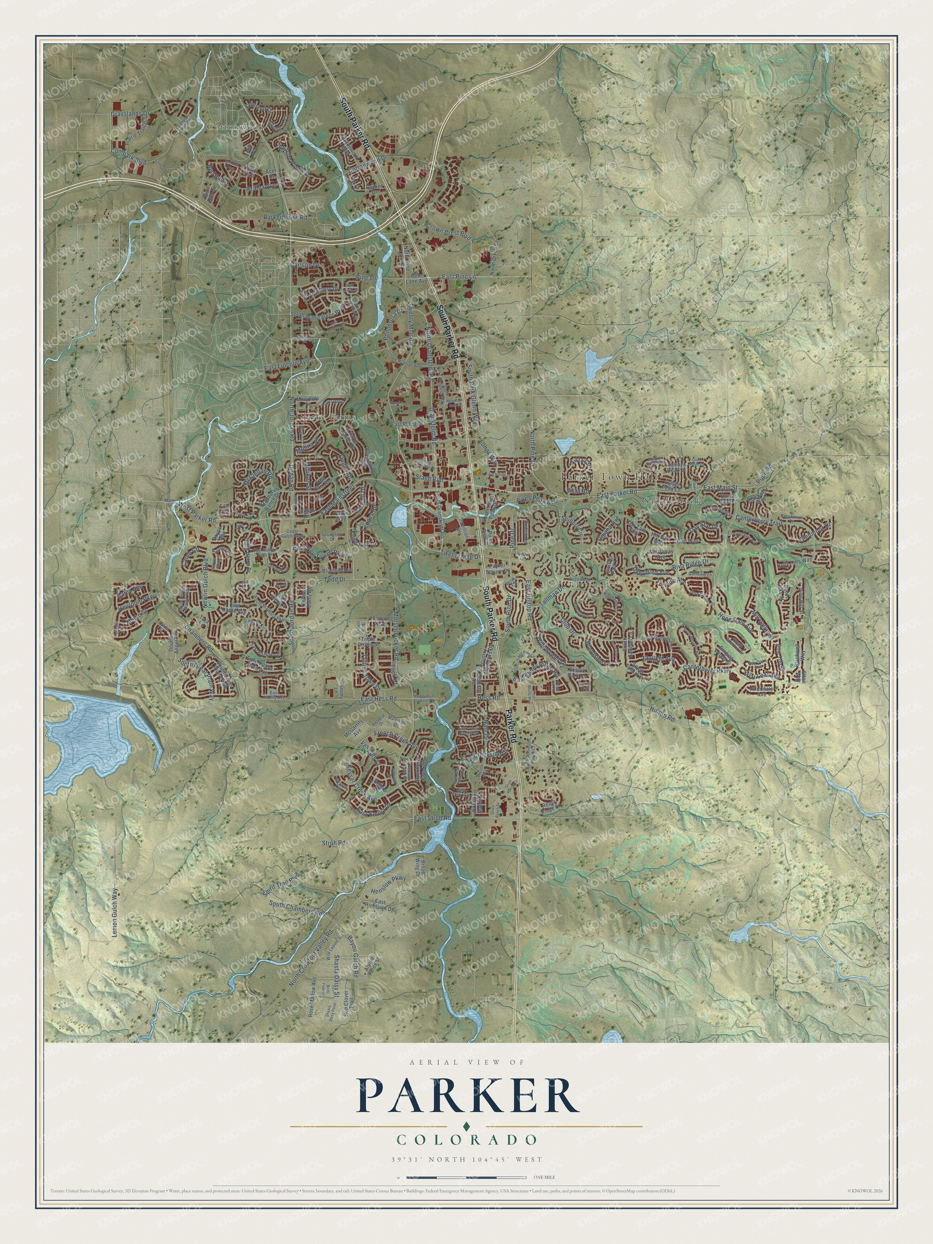
A new map of Parker, Colorado, made in 2026 and printed to order on thick archival matte paper.
12" x 18" Archival Matte Print
A Map of Home. A Work of Art.
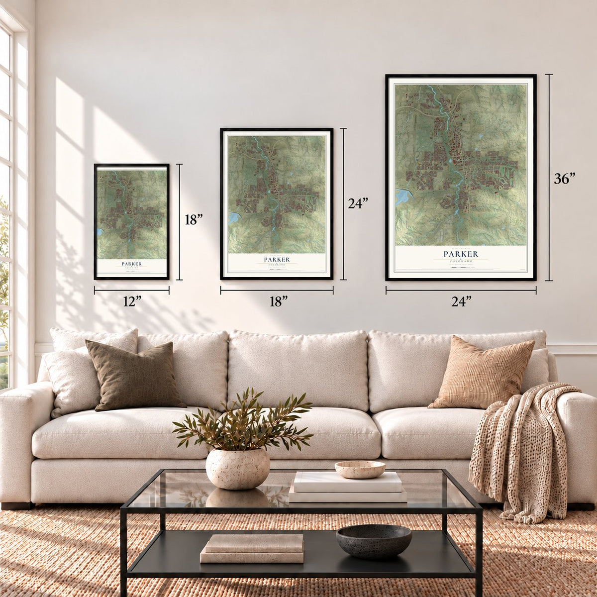
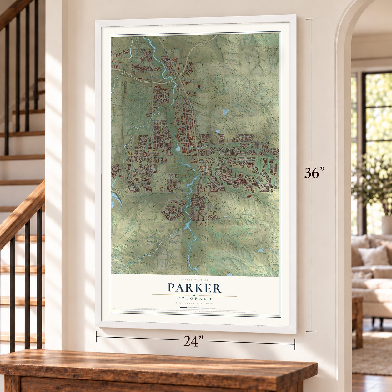
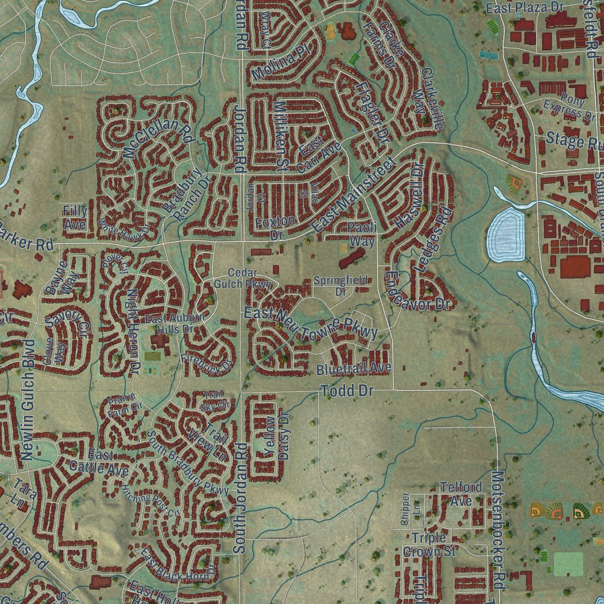
Explore Parker, Colorado from a whole new perspective. Created using aerial imagery and detailed geographic data, this map captures Parker building by building, with labeled streets, familiar landmarks, and shaded topographical relief that highlights the natural contours of the landscape.
Combining modern data with the timeless character of a vintage atlas, this map is just as interesting up close as it is beautiful on the wall. Whether you grew up in Parker, spent memorable years there, or call it home today, this unique map is a great way to celebrate a place that means something to you. Zoom in on the preview to look for your street, and then order a print to put your memories on the wall.
Three ways to hang it
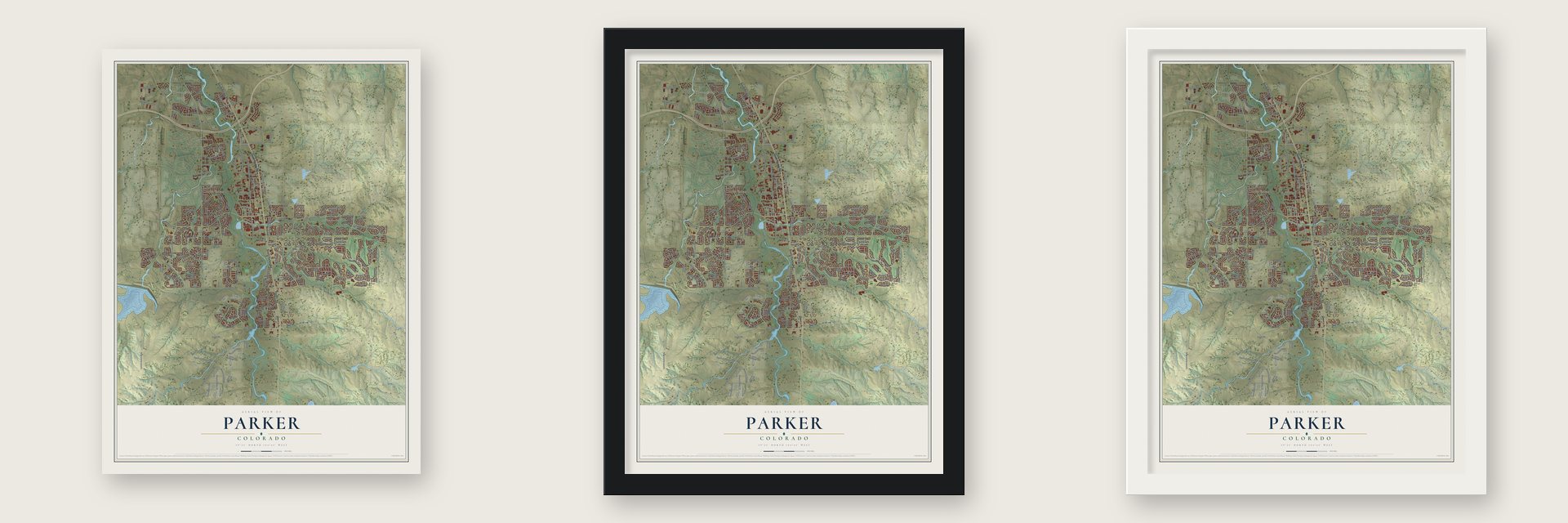
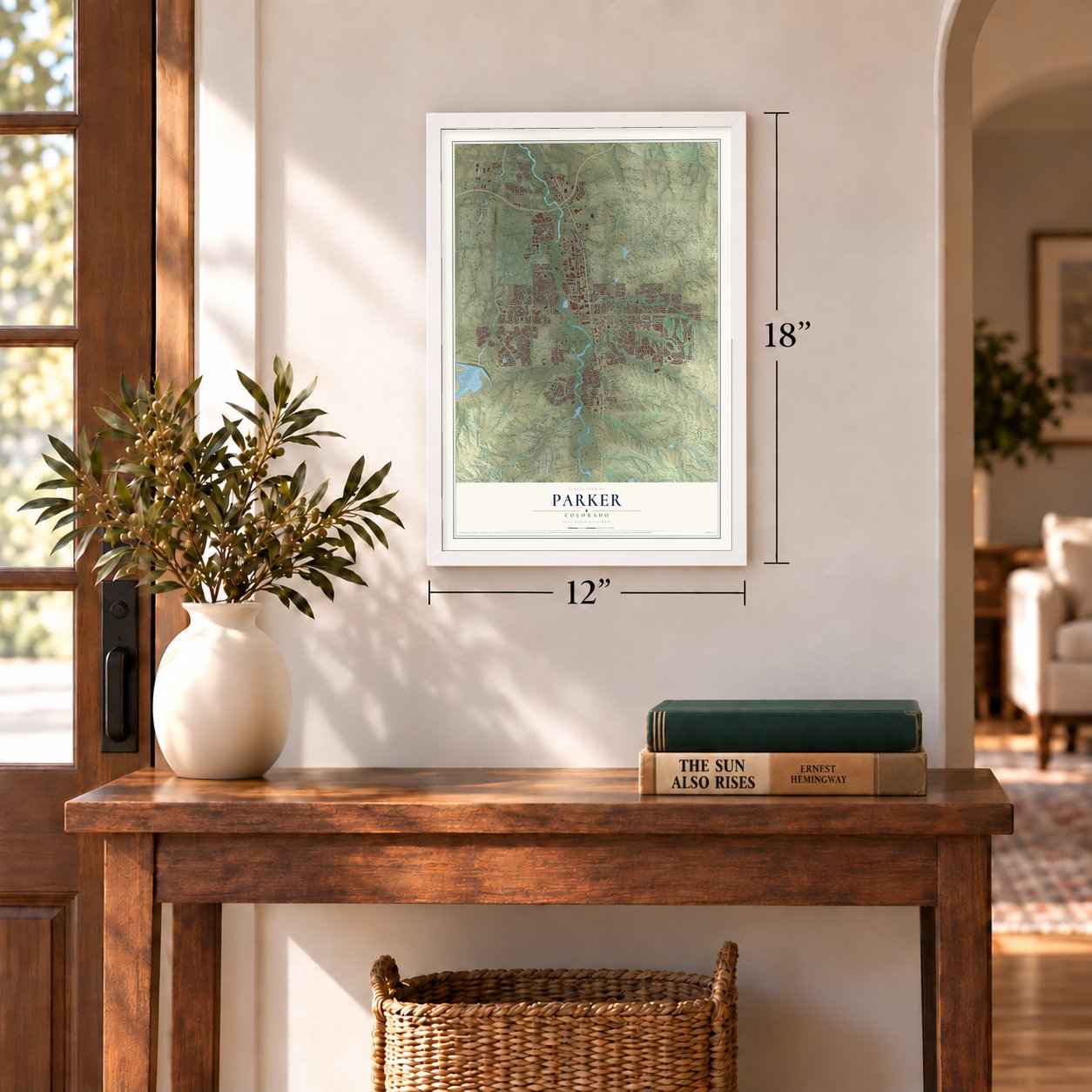
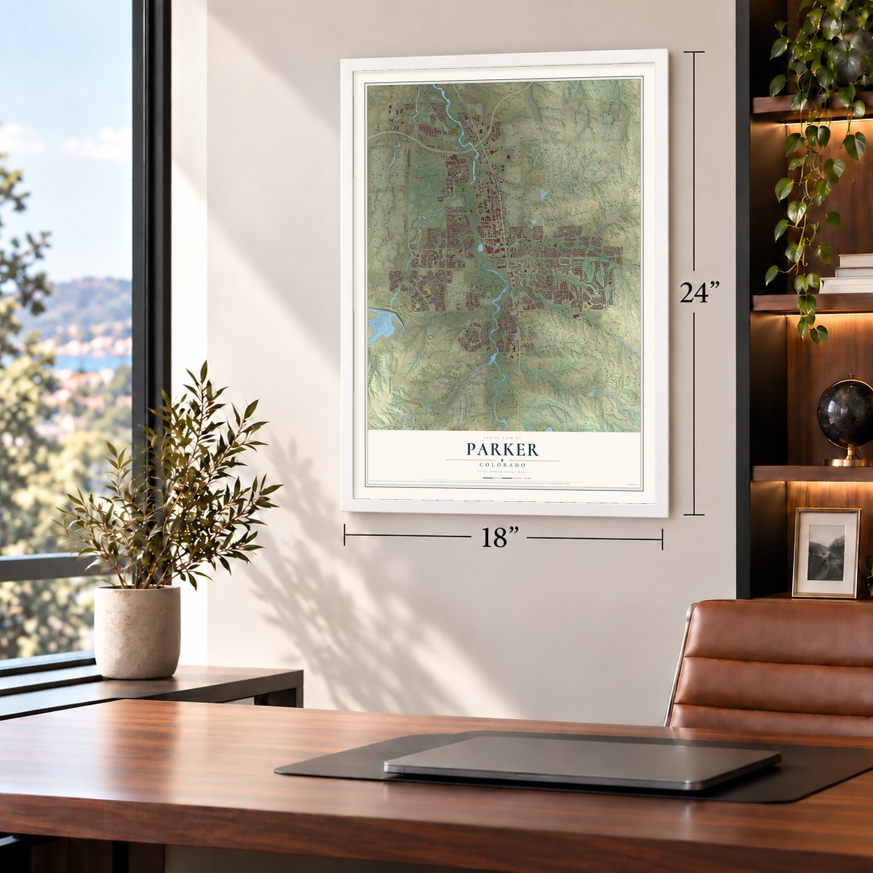
Unframed archival matte, a black wood frame or a white wood frame.
Up close
Geography Worth Displaying
This map was created using accurate cartographic data and authoritative geographic sources, including the U.S. Geological Survey and the Census Bureau. The map brings together terrain, waterways, roads, and building detail. The majority of the streets are labeled, houses are accurately depicted, and the topography is derived from government sources. Combining local data with carefully composed color and shading leads to this beautifully detailed Parker artwork for your wall.
Rather than simply showing street outlines, we’ve included as many of the street names as we could reasonably fit on the map while keeping their names legible. Zoom in on the high resolution preview to see exactly what’s on the map. We truly set out to create a statement piece for anyone who loves Parker. So whether it’s for you, or a gift for someone you love, we hope this map of Parker brings back fond memories.
Read the story behind this map of Parker, Colorado from 2026.

About Parker, Colorado
Parker is a town of 58,512 people in Douglas County, on Cherry Creek southeast of Denver. In 1864 Alfred Butters opened the Pine Grove Way Station in a one-room building, where travelers on the stage roads could buy supplies and leave mail. George Long and his wife later bought the building, moved it to Main Street and enlarged it to ten rooms with a ballroom. It became known as Twenty Mile House, for its distance from Denver.
In 1870 James S. Parker, a Civil War veteran from Illinois, bought Twenty Mile House from Nelson and Susan Doud. He added a blacksmith shop and a store, served as postmaster, and built a schoolhouse, paying the first teacher for a year. His brother George held most of the ground the town would grow on and sold it off in pieces to newcomers. In 1882 the settlement took the name Parkers' for the brothers, and the apostrophe was later dropped.
“Parker began as a collection of homesteads around Twenty Mile House, and the railroad allowed the town to expand.”
- The railroad for $1In 1882 the Denver and New Orleans Railroad opened its line between Denver, Parker and Colorado Springs. James Parker let the railroad have his right-of-way for just $1 so the tracks would run through the middle of town instead of along Cherry Creek, and George sold his as well. Parker station served the town until the line, by then the Colorado and Southern Railway, closed it in 1931.
- Twenty ponies offeredAt first, Chiefs Washington and Colorow led their people along Sulphur Gulch past settlers' cabins, and on one visit Washington offered John and Elizabeth Tallman as many as 20 ponies for their red-headed son. Relations soured in the 1860s over broken treaties. After the Hungate massacre of 1864 and the Sand Creek massacre that followed, Parker closed its school for a short time, and in 1870 John's brother Jonathan was killed while riding his mule.
- Parker Cemetery, about 1884Around 1884 James Parker gave three acres for Parker Cemetery, where two of his sons were already buried. The oldest known grave there dates from 1870. James, who died in 1910, lies there with his wife Mattie, who died in 1887.
- Incorporated in 1981In the 1960s the Parker City Land Company set out to build a modern western town but ran short of money, and in the 1970s Ed Dwight, the first African American astronaut candidate, worked on the project as a developer. Another builder finished it around 1980 or 1981. Dean Salisbury pushed for incorporation to protect local landowners, and when Parker incorporated in 1981 with 285 people, he became its first mayor. By 2014 the town had 48,000 residents.
Find your street
Names on the Parker map
Every name below is printed on this map. Look for your street, your school, the park where you played, or the pond down the road.
Places and landmarks4
- Parker Town Hall
- Clarke Farms
- Cottonwood
- Saddlebrook
Streets and roads242
- South Parker Road
- Parker Road
- East Main Street
- North Jordan Road
- Motsenbocker Road
- Twenty Mile Road
- Dransfeldt Road
- Pine Drive
- East Mainstreet
- Stroh Road
- Keyser Creek Avenue
- West Parker Road
- East Pine Lane
- Tyrolite Avenue
- Ponderosa Drive
- Spirit Trail Boulevard
- Riva Ridge Drive
- Longs Way
- East Stroh Road
- South Chambers Road
- Vista Circle
- Etallkid Avenue
- Milliken Street
- North Crowfoot Valley Road
- Tallman Drive
- Pine Lane
- South Park Glenn Way
- Flagler Drive
- Twenty Mile Drive
- Haswell Drive
Show all 242 streets
- Canterberry Parkway
- Chambers Road
- Cottonwood Drive
- East Hilltop Road
- South Jordan Road
- East Parker Road
- East Lincoln Avenue
- Canterberry Trail
- East Hess Road
- North Dransfeldt Road
- Hess Road
- Newlin Gulch Boulevard
- Omaha Avenue
- South Pine Drive
- Seibert Circle
- Crown Crest Boulevard
- Lemon Gulch Way
- Club Drive
- Willowbend Lane
- French Creek Avenue
- Compark Boulevard
- Endeavor Drive
- McClellan Road
- East Creekside Drive
- Triple Crown Drive
- Heirloom Parkway
- North Pine Drive
- East Shady Ridge Road
- Jordan Road
- Apache Plume Drive
- Shasta Daisy Street
- Nate Drive
- Ventana Street
- Grasslands Drive
- Azalea Avenue
- East Neu Towne Parkway
- South Great Plain Way
- Glenmoor Drive
- Ledges Road
- Todd Drive
- Bayou Gulch Road
- Carob Circle
- Vista Road
- Hilltop Road
- Stage Run
- Henslow Parkway
- Day Star Drive
- Woodside Lane
- Red Bud Drive
- Melco Street
- East Emilia Drive
- Pikes Peak Avenue
- Parkerhouse Road
- Carlson Drive
- Unbridled Avenue
- Hope Dale Avenue
- Briar Leaf Avenue
- Mill Valley Street
- Tack Drive
- Molina Place
- Pope Road
- Haley Avenue
- North Pine Lane Street
- Pine Lane Avenue
- Torreys Peak Drive
- Clarke Farms Drive
- Bradbury Ranch Drive
- East Plaza Drive
- South Wintergreen Parkway
- Longs Peak Lane
- Rose Mallow Avenue
- Cottonwood Way
- Rodeo Circle
- Night Heron Drive
- Savory Circle
- Scenic Park Drive
- South Dransfeldt Road
- Clarkeville Way
- Buckhorn Creek Street
- South Grass River Trail
- Sandreed Circle
- Foxton Drive
- Prairie Trail Drive
- Reata Ridge Drive
- Pikes Peak Drive
- East Dewberry Drive
- North Dixon Drive
- East Hollow Horn Avenue
- East Richlawn Drive
- Tim Tam Way
- Blackwell Way
- Country Meadows Drive
- Double Angel Road
- Triple Crown Street
- Pavillion Drive
- Holly Hills Way
- Whirlaway Avenue
- East Carr Avenue
- Bluetrail Avenue
- Hop Clover Trail
- South Saunter Lane
- Leesburg Road
- Trail View Lane
- Blackwolf Way
- South Pikes Peak Drive
- Quail Run Drive
- Birch Run Lane
- Pine Top Street
- Broad Wing Drive
- East Cattle Avenue
- South Tallkid Court
- Pine Hill Street
- Norway Maple Street
- Larch Trail
- Yellow Daisy Drive
- Allendale Avenue
- Bolero Drive
- Hill Gail Way
- Bent Oaks Street
- McGarrity Avenue
- Singing Winds Street
- Moorside Drive
- Parker Square Drive
- Alpine Phlox Street
- Tammy Lane
- Paoli Way
- Gail Way
- Becket Drive
- Switzer Park Lane
- Bayne Way
- Telford Avenue
- Tara Lane
- Elton Way
- Acer Drive
- Filly Avenue
- East Auburn Hills Drive
- Cedar Gulch Parkway
- Main Street
- Henson Creek Street
- Pine Canyon Drive
- South Progress Way
- South Robinson Ranch Court
- East Idyllwilde Drive
- South Bradbury Parkway
- Ridgeview Lane
- South Allerton Circle
- Wheatgrass Circle
- Broadmoor Drive
- Victorian Drive
- East Clear Creek Drive
- East Black Horn Drive
- South Coltsfoot Drive
- Firebrick Drive
- Pine Grove Lane
- Recreation Drive
- South Flower Mound Way
- Quail Run Way
- Sagewood Lane
- Mount Elbert Place
- Wild Lupine Street
- Golfview Lane
- Pony Express Drive
- Herrera Drive
- Wilson Circle
- East Molly Avenue
- Martinello Drive
- Springfield Drive
- Wray Court
- East Firefly Avenue
- Bay Oaks Avenue
- Auklet Street
- Clove Way
- Canyon Rim Circle
- Game Trail
- Horseshoe Lane
- Lincoln Meadows Parkway
- South Meander Way
- Pine Bluffs Way
- Hitching Post Circle
- Peppy Blue Dot Ranch Drive
- White Hawk Drive
- East Crooked Pine Circle
- Jordan Court
- Latigo Lane
- Severance Drive
- Prairie Farm Circle
- Quail Ridge Drive
- Ironstone Way
- Prickly Pear Circle
- Mountain Man Drive
- Halfinger Avenue
- Riverchase Way
- Trail Sky Circle
- East Lupine Drive
- Stroh Ranch Drive
- Red Bud Loop
- Cloverleaf Circle
- Chipper Lane
- Stroh Ranch Court
- Plover Circle
- Shasta Daisy Point
- Compark Court
- South Silver Plume Street
- Billingsley Trail
- Domingo Court
- East Laurel Street
- Wildrye Circle
- Vilas Street
- Apache Drive
- Piney Hill Road
- Birds Foot Lane
- Quail Road
Names are listed as they appear on the printed map. Zoom into the product photos to find them.
The art of mapping a place
How This Map Was Made
Real places. Remarkable detail. Discover the layers that turn geographic data into a map of home.

The view from above
Aerial imagery reveals the character of the land: woodland, open fields, and the patterns of a place.

The shape of the land
Elevation data brings hills, valleys, and subtle changes in the landscape into view.

The details of home
Roads, waterways, and building footprints come together to make the map feel unmistakably local.

Geography becomes art
Considered color, shading, and typography bring the layers together in a map made for your wall.


Process illustrated with Mendon, Massachusetts. Aerial imagery: USDA NAIP. Terrain: USGS 3D Elevation Program. Map details and finished artwork: KNOWOL.
The Details
About This Print
Choose an archival matte print, or a black or white Ayous wood frame. The archival matte print is unframed.
Select your size and finish above to see the matching product image and price.
Materials & Craftsmanship
A contemporary map with the character of a classic atlas, printed on archival matte paper. Optional frames are made from Ayous wood.
Your printed map does not include the watermark shown in the full-map preview.
Shipping & Delivery
Free shipping within the United States. Every print is made to order in the USA.
Buying a gift? Add a note in your cart and we'll include it. We never put prices in the package.
Prints ship within 2 to 3 business days. Allow 7 to 10 days total from ordering for delivery. Timing may vary during holidays or periods of high order volume.
Read our shipping policy.
Returns and damaged prints
Each print is made to order. Change-of-mind refunds are not available after production.
If your print arrives damaged, misprinted or incorrect, contact support@knowol.com within 30 days of receiving it. Include your order number, photos and a description of the issue.
Read our full refund and replacement policy. For questions about your order, email support@knowol.com.
Find your town
Looking for another city?
Find a map of home in our Colorado collection, or any town in the country.
Nearby
Maps of towns near Parker
Know someone from one of these towns? Their map makes a great gift.
 Stonegate
, Colorado
From $39.99See the map
 Stepping Stone
, Colorado
From $39.99See the map
 Sierra Ridge
, Colorado
From $39.99See the map
More maps nearby: Meridian Village, Grand View Estates, The Pinery, Meridian and Lone Tree.