
Search for another town

Free U.S. delivery 7 to 10 days after you order
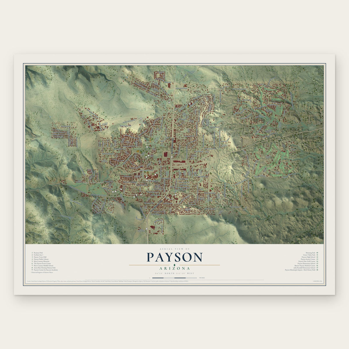
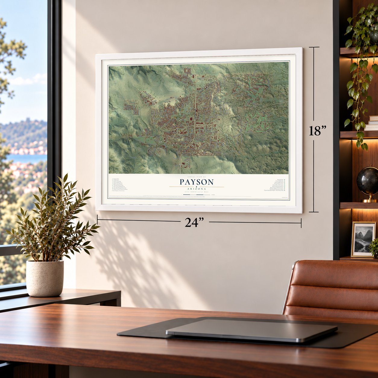
Payson, Arizona Map Art
Building by building, with labeled streets and shaded relief.
12" x 18" Archival Matte Print
A Map of Home. A Work of Art.
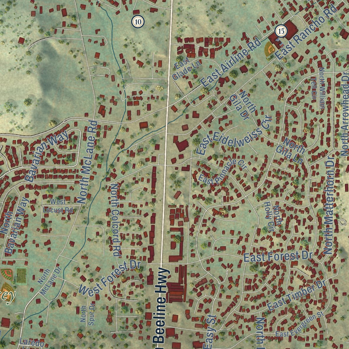
Explore Payson, Arizona from a whole new perspective. Created using aerial imagery and detailed geographic data, this map captures Payson building by building, with labeled streets, familiar landmarks, and shaded topographical relief that highlights the natural contours of the landscape.
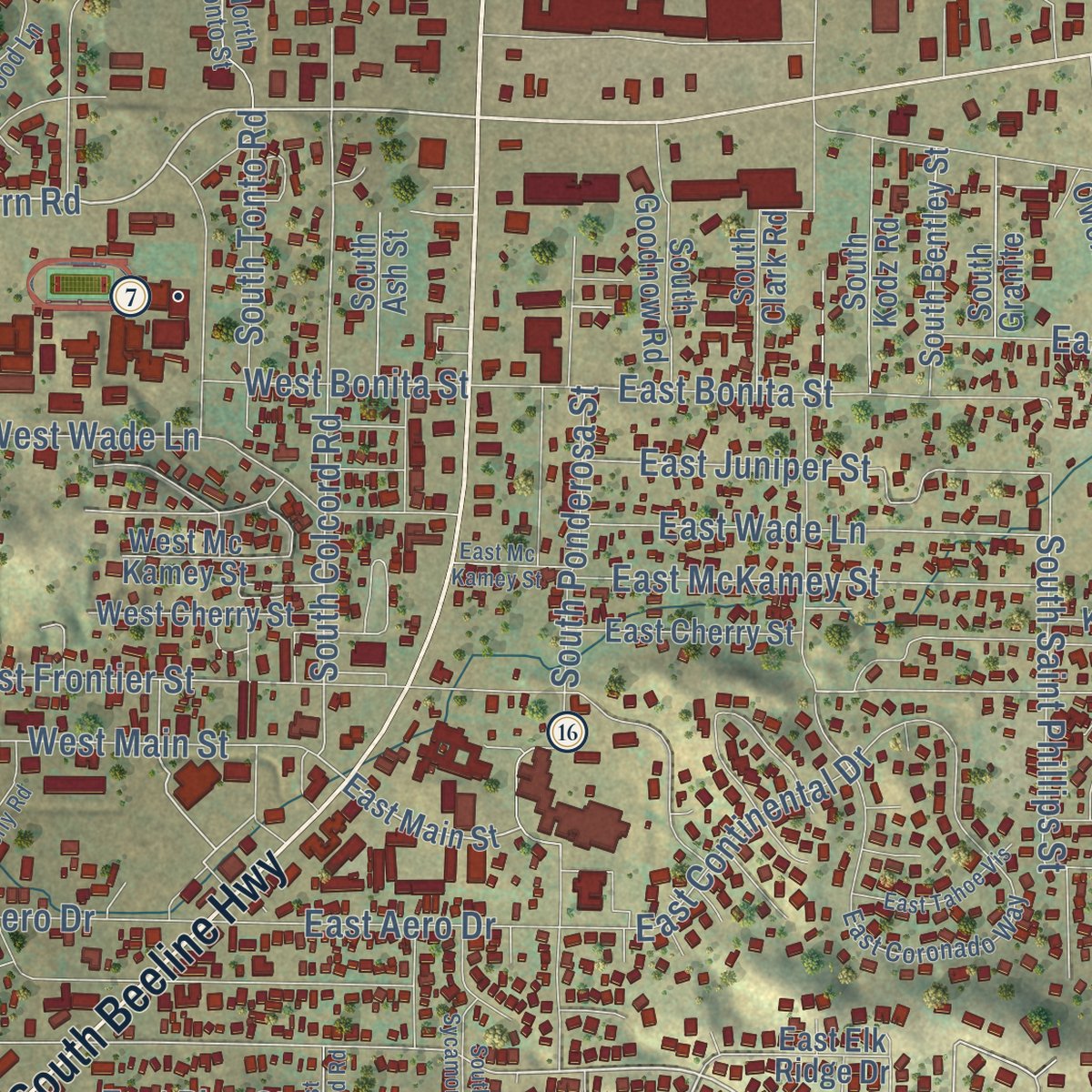
Combining modern data with the timeless character of a vintage atlas, this map is just as interesting up close as it is beautiful on the wall. Whether you grew up in Payson, spent memorable years there, or call it home today, this unique map is a great way to celebrate a place that means something to you. Zoom in on the preview to look for your street, and then order a print to put your memories on the wall.

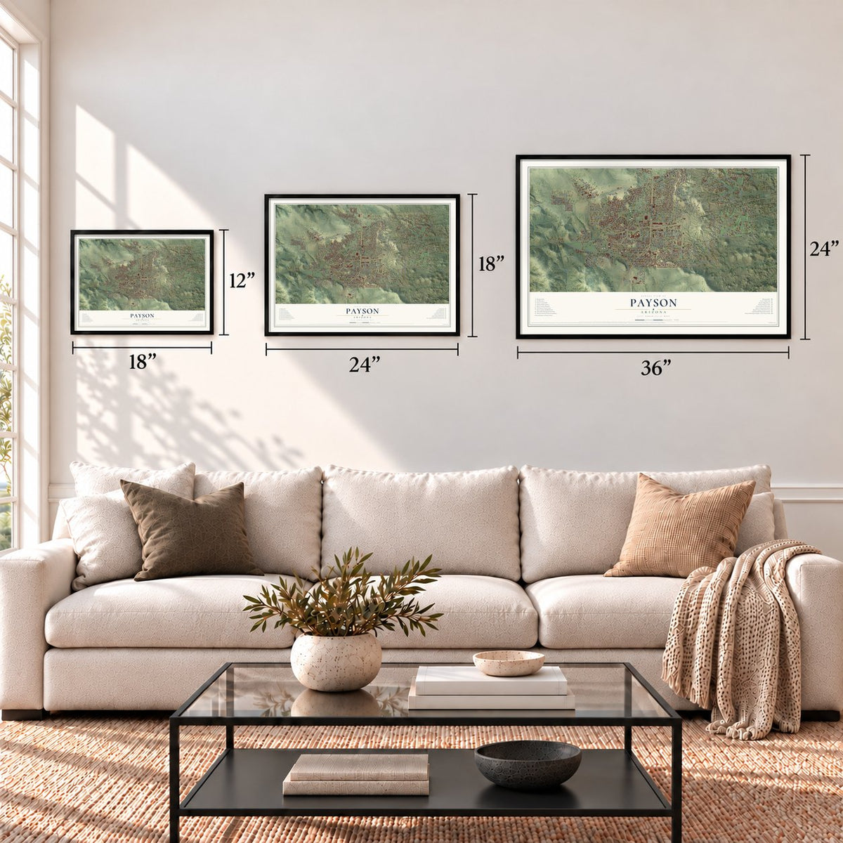
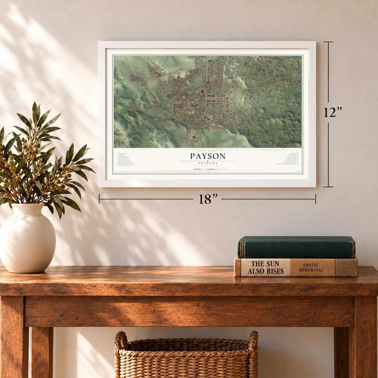
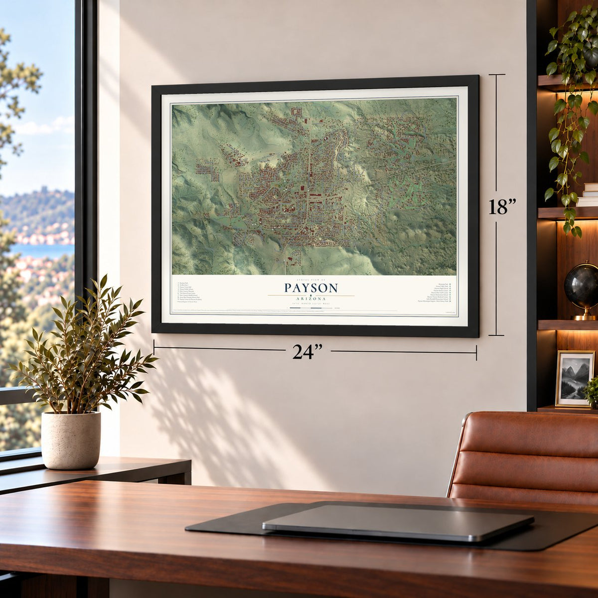
Three ways to hang it
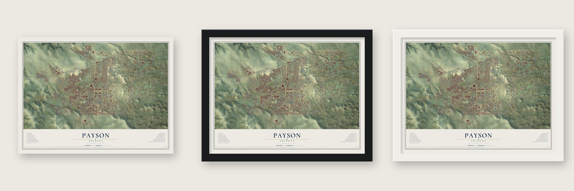
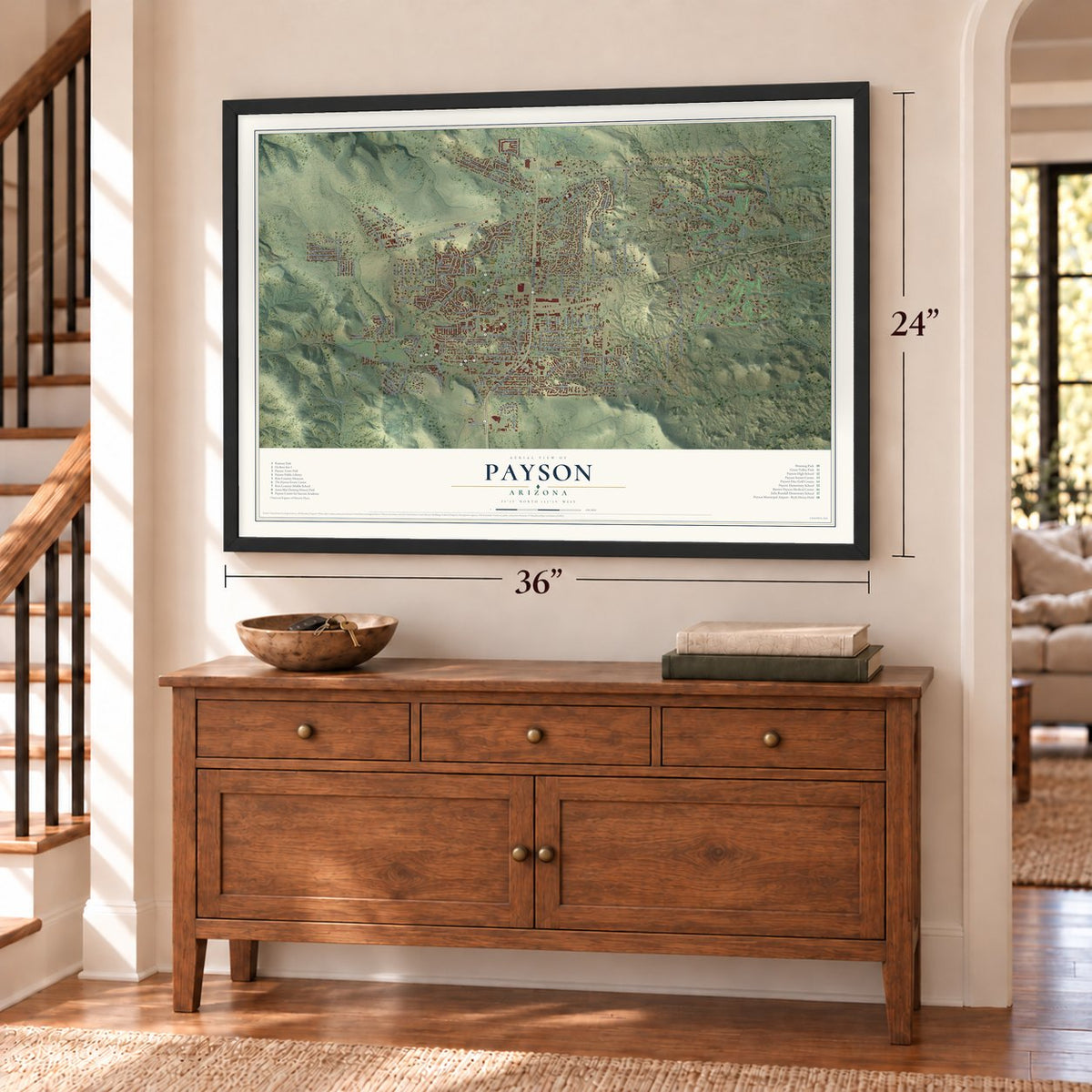
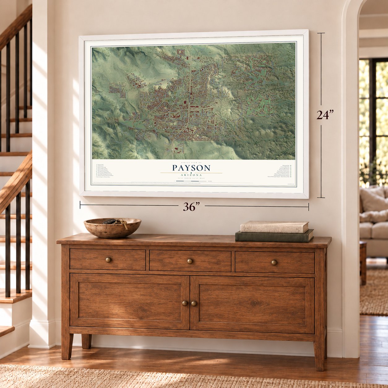
Unframed archival matte, a black wood frame or a white wood frame.
Up close
Geography Worth Displaying
This map was created using accurate cartographic data and authoritative geographic sources, including the U.S. Geological Survey (USGS) and FEMA. The map brings together terrain, waterways, roads, and building detail. The majority of the streets are labeled, houses are accurately depicted, and the topography is derived from government sources. Combining local data with carefully composed color and shading leads to this beautifully detailed Payson artwork for your wall.
Rather than simply showing street outlines, we’ve included as many of the street names as we could reasonably fit on the map while keeping their names legible. Zoom in on the high resolution preview to see exactly what’s on the map. We truly set out to create a statement piece for anyone who loves Payson. So whether it’s for you, or a gift for someone you love, we hope this map of Payson brings back fond memories.
Explore the full map of Payson, Arizona and read about the local places it shows.
Find your street
Names on the Payson map
Every name below is printed on this map. Look for your street, your school, the park where you played, or the pond down the road.
Places and landmarks2
- Fort McDonald
- Rumsey Park
Streets and roads224
- North Beeline Highway
- South Beeline Highway
- East Rim Club Drive
- East Phoenix Street
- West Longhorn Road
- West Airport Road
- North McLane Road
- Bavarian Way
- East Tyler Parkway
- BIA Road 101
- Saint Moritz Drive
- Arroyo Drive
- North Easy Street
- West Bonita Street
- Club Drive
- West Country Lane
- East Grapevine Drive
- South Colcord Road
- East Canyon Drive
- Strirrup Way
- West Graff Drive
- South Saint Phillips Street
- West Corral Drive
- Rocky Road
- Deer Trail
- East Granite Dells Road
- West Sherwood Drive
- North Scenic Drive
- West Bridle Path Lane
- West Main Street
Show all 224 streets
- East Frontier Street
- South Vista Road
- Silver King Mine Road
- East Cedar Lane
- West Frontier Street
- West Saddle Lane
- South Ponderosa Street
- West Wagon Trail
- West Rim View Road
- North Manzanita Drive
- West Doll Baby Ranch Road
- East Rancho Road
- West Country Club Drive
- West Payson Parkway
- West Overland Road
- East Scenic Drive
- West Summit Street
- North Matterhorn Drive
- South Sutton Road
- East Feather Plume Lane
- Chenault Parkway
- West Wade Lane
- South Mc Lane Road
- East Juniper Street
- East Desert Mimosa Drive
- West Forest Drive
- East Bonita Street
- West Chatham Drive
- East Underwood Lane
- West Bulla Drive
- Nf-199
- North Chaparral Pines Drive
- West Palmer Drive
- East Miller Road
- North Earhart Parkway
- East Airline Road
- East McKamey Street
- East Forest Drive
- South Tonto Road
- West Houston Mesa Road
- East Wade Lane
- North Briarwood Road
- North Graham Ranch Road
- Airport Access Road
- Earhart Parkway
- South Rodeo Drive
- Peach Orchard Road
- East Ridge Lane
- West Lake Drive
- East Cliff Rose Drive
- South Western Drive
- West Aero Drive
- East Continental Drive
- North Grapevine Drive
- Prdr
- East Park Drive
- East Pine Street
- East Aero Drive
- West Nicklaus Drive
- North Maranth Road
- South Tylwe Parkway
- West Pine Street
- South Anasazi Road
- South Hermosillo Drive
- East Eidelweiss Circle
- North Heather Circle
- West Rim Drive
- North Vista Road
- East Luke Drive
- South Rim Club Drive
- East Alpine Drive
- North Mud Springs Road
- East Main Street
- North Alpine Heights Drive
- Boulder Ridge Road
- South Granite
- Green Valley Parkway
- South Mud Springs Road
- South Monument Valley
- South Green Valley Parkway
- North Karen Way
- East Cherry Street
- North Colcord Road
- South Bentley Street
- South Ash Street
- West Cherry Street
- North Hillcrest Drive
- West Driftwood Drive
- South Lakeview Drive
- North Whitehouse Drive
- South Brassie Drive
- South Rim Club Parkway
- East Timber Drive
- South Kodz Road
- East Indian Pink Circle
- South Owens Lane
- North Bavarian Way
- Pioneer Trail
- Chaparrel Pines Drive
- South Goodnow Road
- North Arrowhead Drive
- Maureen's Way
- North Gila Drive
- Library Drive
- West Arabian Way
- East Buckbrush Circle
- East Scarlet Buglar Circle
- Fawn Drive
- Canpar Way
- Whitetail Drive
- West Johnson Drive
- West Fairway Lane
- Woodridge Lane
- Eagle Tree Lane
- East Elk Ridge Drive
- Christopher Point
- Brassie Drive
- Trail of Tears
- North Oak Ridge Road
- North Bobby Jones Drive
- East Big Forest
- South Clark Road
- South Oak Street
- East Lorene Street
- Kozak
- West Mc Kamey Street
- East Ox Bow Circle
- West Norris Court
- Alley Way
- North Gila Lane
- Jack Way
- Joy Drive
- Cr Road
- North Wood Hill Road
- Laredo Loop
- South Tyler Parkway
- Malibu Drive
- South Gold Nugget Lane
- North Houston Mesa Road
- West Bravo Taxiway
- West Remuda Way
- West Colt Drive
- North Whiting Drive
- East Coronado Way
- West Birchwood Road
- Graham Ranch Trail
- North Aviator Parkway
- North Rim Ranch Point
- East Pinnacle Circle
- South Pine Stream
- North Parkwood Lane
- Landmark Trail
- South Pine Cone Street
- West Hughes Drive
- East Arrow Point
- North Hogan Drive
- North Alyssa Circle
- North Trailwood Road
- East Eckles Street
- East Glade Lane
- North Tonto Street
- South Gibson Court
- West Oso Dorado Circle
- North Holly Circle
- Foothill Drive
- Birch Drive
- Riley Road
- Pr Drive
- North McLane Drive
- South McLane Road
- North William Tell Circle
- North Indian Paintbrush Circle
- East Evergreen Street
- East Morning Glory Circle
- South Westerly Road
- East Coyote Mint Circle
- Fort Mc Donald Drive
- West Locust Road
- East Tahoe Vis
- Red Baron Road
- East Spirit Rock Cr
- South Sycamore Street
- South Spirit Hollow
- Florence Road
- Evening Primrose Circle
- Antelope Point
- East Mc Kamey Street
- North Mule Deer Point
- North Sunset Drive
- East Colcord Road
- North Farview Drive
- North Spur Drive
- South Magestic
- East Park Road
Names are listed as they appear on the printed map. Zoom into the product photos to find them.
About Payson, Arizona
Payson is a town in northern Gila County, close to the center of Arizona, sitting at 5,000 feet below the Mogollon Rim. The Dilzhe'e Apache named this spot Te-go-suk, or Place of Yellow Water. In 1882 James Callaghan, Henry Sidles and the couple John and Lucy Hise led settlers in starting a small logging, mining and ranching settlement named Union Park, which some called Green Valley.
Illinois congressman Levi Joseph Payson helped the settlers get a post office on March 3, 1884, and they renamed the town for him to thank him. For decades Payson stayed remote. In the 1930s the drive from Phoenix took eight to twelve hours, so work began on better roads. A paved road was completed in 1958, State Route 87 was later widened to four lanes, and Payson incorporated in 1973.
- A rodeo every year since 1884Payson's first rodeo came in 1884. The August Doin's has run each year since then, so the town calls itself home of the world's oldest continuous rodeo. Prescott, 100 miles to the northwest, claims the world's oldest rodeo, started in 1888, but its show stopped during World War II.
- Zane Grey's countryThe author Zane Grey first came to the Payson area in 1918 and kept returning through 1929. He bought two pieces of land near Tonto Creek, among them 120 acres under Myrtle Point bought from Sampson Elam Boles, and he wrote books and shot films here, including To the Last Man. His Rim cabin became a free museum in 1966, burned in the Dude Fire in 1990, and was rebuilt in Green Valley Park.
- Payson Dew on Bootleg AlleyDuring Prohibition, liquor was easy to find in Payson, and much of it changed hands on Bootleg Alley. Somewhere between 30 to 40 stills around town brewed a drink called "Payson Dew," and buyers wanted it as far away as Los Angeles. The trade gave the town's economy a real lift.
- A log hotel from Yellowstone ideasWilliam and Estlee Wade built the log Payson Hotel beside their restaurant, the Busy Bee. Willie Wade had come to know Yellowstone's Old Faithful Inn, and the couple borrowed from its design. Jimmy Cox took over the hotel in 1945, enlarged it and renamed it the Ox Bow Inn, and it is now on the National Register.
Keep exploring Arizona
Payson is one of 528 Arizona towns we've mapped. Every dot on the map is a print of its own.
The search covers every state, Arizona first.
Near Payson
Order 2 or more town maps and save 10%. Shown in the size and finish you picked above, so they hang as a set.
- Tonto Apache Tribe 12" x 18" / Archival Matte Print $39.99
- Mesa del Caballo 12" x 18" / Archival Matte Print $39.99
- Round Valley 12" x 18" / Archival Matte Print $39.99
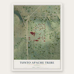
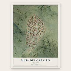

More maps nearby: East Verde Estates, Oxbow Estates, Flowing Springs, Freedom Acres and Star Valley.
The art of mapping a place
How This Map Was Made
Real places. Remarkable detail. Discover the layers that turn geographic data into a map of home.

The view from above
Aerial imagery reveals the character of the land: woodland, open fields, and the patterns of a place.

The shape of the land
Elevation data brings hills, valleys, and subtle changes in the landscape into view.

The details of home
Roads, waterways, and building footprints come together to make the map feel unmistakably local.

Geography becomes art
Considered color, shading, and typography bring the layers together in a map made for your wall.


Process illustrated with Mendon, Massachusetts. Aerial imagery: USDA NAIP. Terrain: USGS 3D Elevation Program. Map details and finished artwork: KNOWOL.
The Details
About This Print
Choose an archival matte print, or a black or white Ayous wood frame. The archival matte print is unframed.
Select your size and finish above to see the matching product image and price.
Materials & Craftsmanship
A contemporary map with the character of a classic atlas, printed on archival matte paper. Optional frames are made from Ayous wood.
Your printed map does not include the watermark shown in the full-map preview.
Shipping & Delivery
Free shipping within the United States. Every print is made to order in the USA.
Buying a gift? Add a note in your cart and we'll include it. We never put prices in the package.
Prints ship within 2 to 3 business days. Allow 7 to 10 days total from ordering for delivery. Timing may vary during holidays or periods of high order volume.
Read our shipping policy.
Returns and damaged prints
Each print is made to order. Change-of-mind refunds are not available after production.
If your print arrives damaged, misprinted or incorrect, contact support@knowol.com within 30 days of receiving it. Include your order number, photos and a description of the issue.
Read our full refund and replacement policy. For questions about your order, email support@knowol.com.