
Search for another town

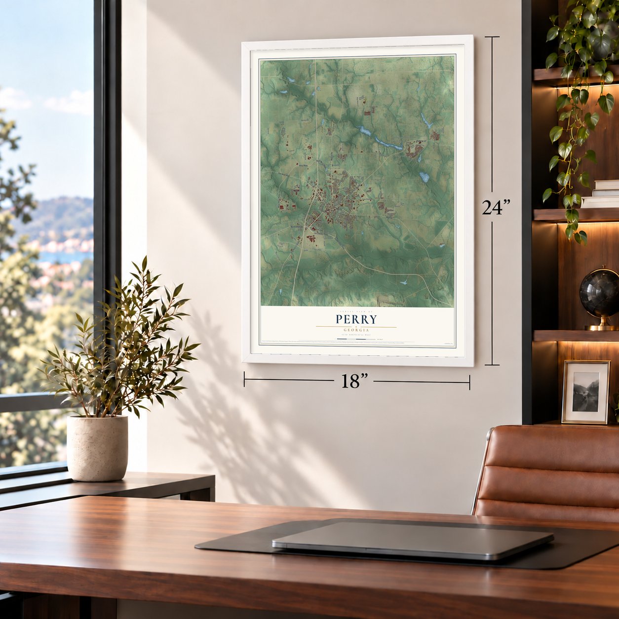
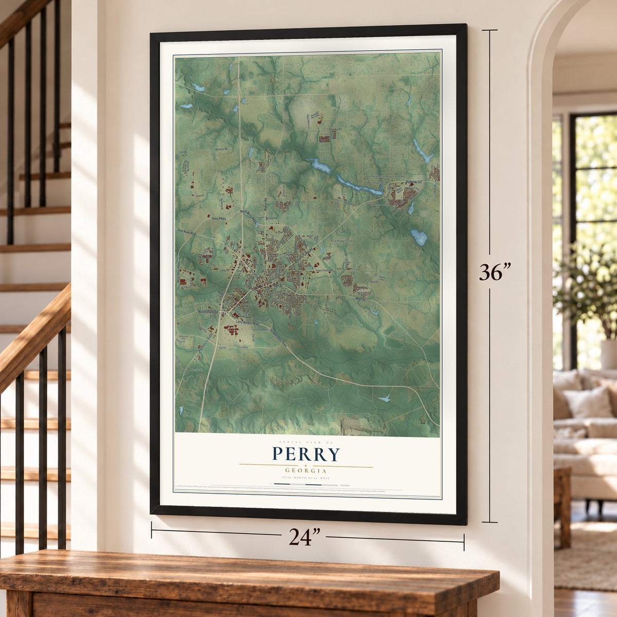
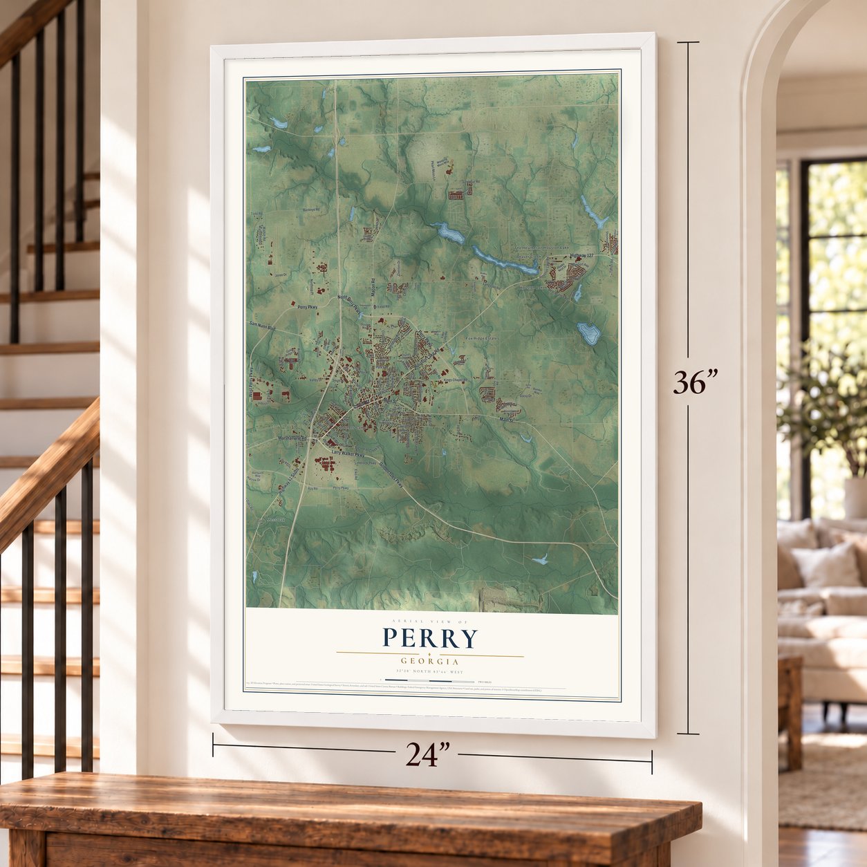

Free U.S. delivery 7 to 10 days after you order
Perry, Georgia Map Art
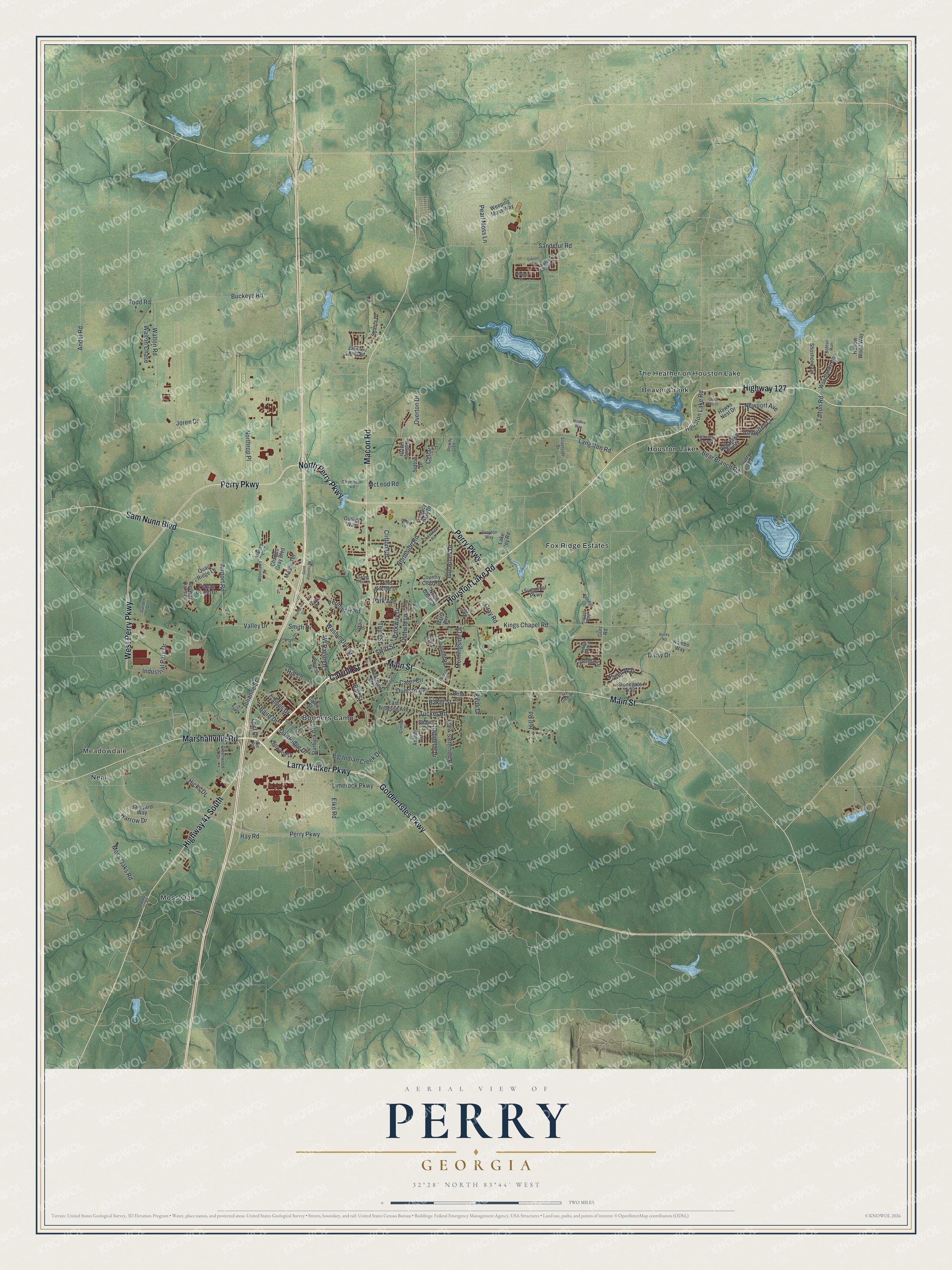
A new map of Perry, Georgia, made in 2026 and printed to order on thick archival matte paper.
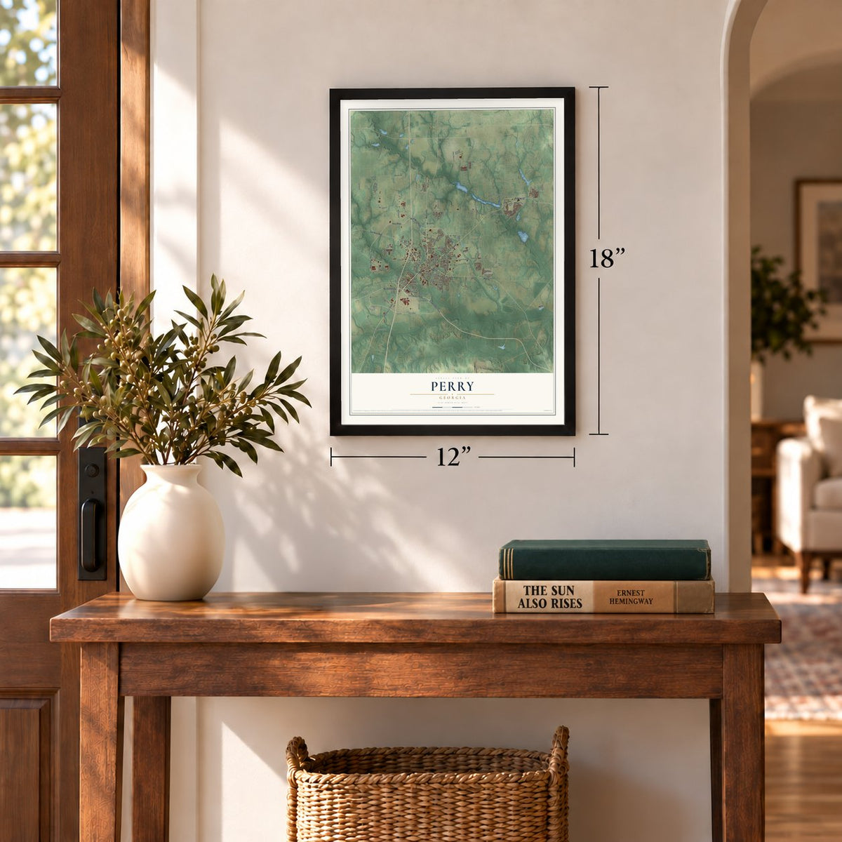
12" x 18" Archival Matte Print
A Map of Home. A Work of Art.
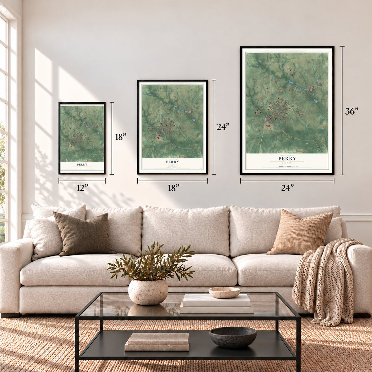
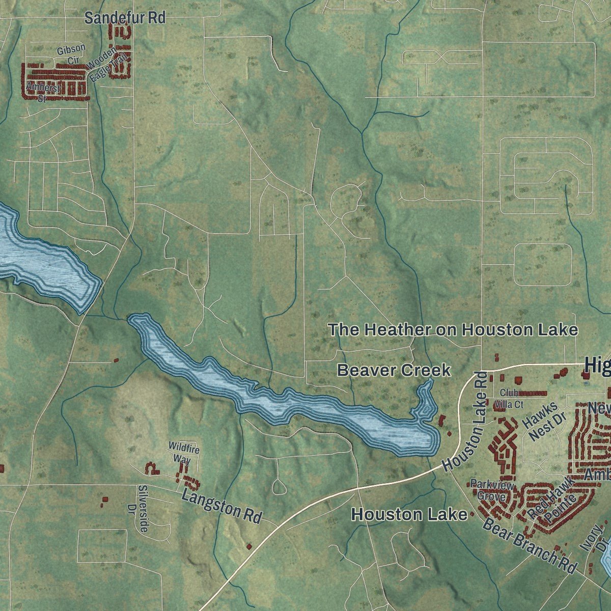
Explore Perry, Georgia from a whole new perspective. Created using aerial imagery and detailed geographic data, this map captures Perry building by building, with labeled streets, familiar landmarks, and shaded topographical relief that highlights the natural contours of the landscape.
Combining modern data with the timeless character of a vintage atlas, this map is just as interesting up close as it is beautiful on the wall. Whether you grew up in Perry, spent memorable years there, or call it home today, this unique map is a great way to celebrate a place that means something to you. Zoom in on the preview to look for your street, and then order a print to put your memories on the wall.
Three ways to hang it
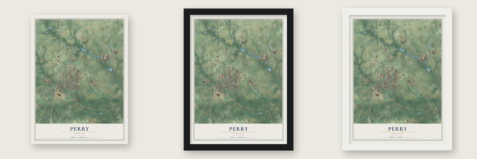
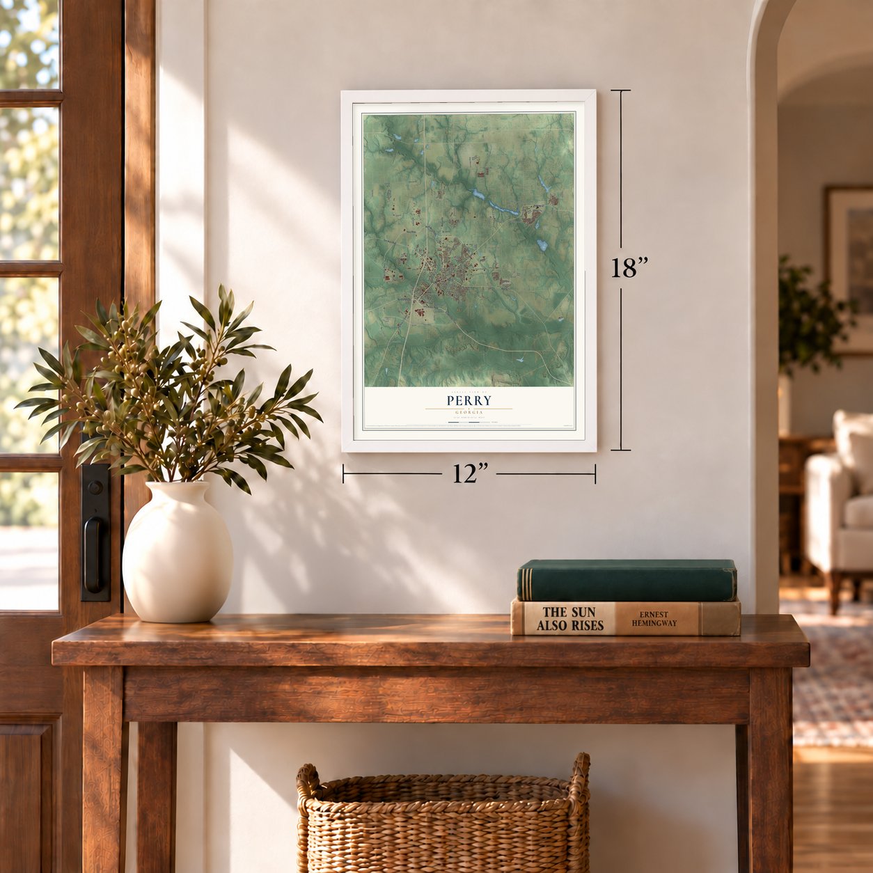
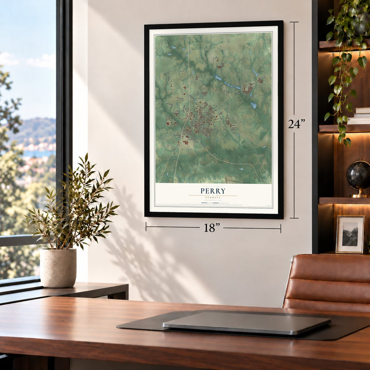
Unframed archival matte, a black wood frame or a white wood frame.
Up close
Geography Worth Displaying
This map was created using accurate cartographic data and authoritative geographic sources, including the U.S. Geological Survey (USGS) and FEMA. The map brings together terrain, waterways, roads, and building detail. The majority of the streets are labeled, houses are accurately depicted, and the topography is derived from government sources. Combining local data with carefully composed color and shading leads to this beautifully detailed Perry artwork for your wall.
Rather than simply showing street outlines, we’ve included as many of the street names as we could reasonably fit on the map while keeping their names legible. Zoom in on the high resolution preview to see exactly what’s on the map. We truly set out to create a statement piece for anyone who loves Perry. So whether it’s for you, or a gift for someone you love, we hope this map of Perry brings back fond memories.
Explore the full map of Perry, Georgia and read about the local places it shows.

About Perry, Georgia
Perry is a city of 20,624 people and the county seat of Houston County, and its limits reach northwest into Peach County. It began in 1823 as Wattsville, a courthouse town near the middle of the county, but it soon took the name of Commodore Oliver Hazard Perry, who won fame at sea in the War of 1812. State lawmakers incorporated the town on December 9, 1824, and drew its limits as a circle one mile across, cut off on the north by Big Indian Creek.
Before the Civil War, Perry's mills ground grain and sawed lumber, and its gins cleaned cotton. Cotton stayed the town's most important crop well into the 20th century. The Houston Home Journal, Perry's newspaper, put out its first issue in 1870.
- On the road to FloridaAround 1920, crews paved U.S. Highway 41 to Florida, and tourists started coming through Perry. The New Perry Hotel went up in 1870 and was rebuilt in 1925, and many Florida travelers came to know it well. It fell into a condition that could not be repaired, and it was torn down on July 22, 2024. In the early 1960s, Interstate 75 was built along the city's west side and drew still more businesses that serve travelers.
- The Georgia National FairPerry's fairgrounds and agricultural center, the Georgia National Fairgrounds and Agricenter, first opened its gates in 1990. Each October it holds the Georgia National Fair, which is sponsored by the state and runs for 11 days with agricultural shows, competitions and midway rides.
- Neighbor to Robins Air Force BaseRobins Air Force Base was set up in nearby Warner Robins during World War II, and the military has been one of the area's biggest employers ever since. Plants in Perry have included Frito-Lay, Perdue Farms, in the old Heileman Brewing Co. works, and Cemex, which took over the former Penn-Dixie Cement and Medusa Cement Company plant.
Find your street
Names on the Perry map
Every name below is printed on this map. Look for your street, your school, the park where you played, or the pond down the road.
Places and landmarks8
- Beaver Creek
- Bonners Camp
- Fox Ridge Estates
- Houston Lake
- Meadowdale
- Moss Oak
- Neal
- The Heather on Houston Lake
Streets and roads151
- Houston Lake Road
- Carroll Street
- Golden Isles Parkway
- Larry Walker Parkway
- Marshallville Road
- North Perry Parkway
- Perry Parkway
- Sam Nunn Boulevard
- Macon Road
- Main Street
- West Perry Parkway
- Highway 41 South
- Highway 127
- Hay Road
- Amberley Court
- Airport Road
- Sandefur Road
- Todd Road
- Kings Chapel Road
- Valley Drive
- Langston Road
- Tucker Road
- Buckeye Road
- Keith Drive
- Bear Branch Road
- Moss Oaks Road
- Talton Road
- Duncan Avenue
- Walton Road
- Ball Street
Show all 151 streets
- Pearl Moss Lane
- Northside Road
- Washington Street
- Limerock Parkway
- Industrial Park Drive
- Julianne Street
- Morningside Drive
- Northrop Place
- Oak Ridge Drive
- Park Avenue
- Perimeter Road
- Big Indian Creek Drive
- Walton Chase
- Hicks Drive
- Parkway Drive
- Elko Road
- Hill Road
- Idle Pines Drive
- Smith Drive
- Gray Road
- Harrow Drive
- Cater Circle
- Swift Street
- Gaines Drive
- Wf Ragin Drive
- Haven Way
- Clifton Road
- Daisy Drive
- Overton Drive
- Third Street
- Baker Street
- Newport Avenue
- McLeod Road
- Quinelle Drive
- Oldfield Lane
- Joree Drive
- Baird Drive
- Andel Road
- Hill Lane
- Cellar Lane
- Lect Drive
- Gurr Road
- Woodlands Boulevard
- Hawks Nest Drive
- Frank Satterfield Road
- Shoshone Circle
- Legacy Park Drive
- Stonegate Trail
- Weeping Moss Way
- Lake Joy Road
- East Tolleson Avenue
- Kingston Road
- Pebble Beach Drive
- Kellwood Drive
- Shane Circle
- Ross Street
- Country Club Road
- Red Hawk Pointe
- North Davis Drive
- Fairway Oaks Drive
- Barnyard Way
- Quail Ridge Lane
- Starbuck Drive
- Sugarloaf Parkway
- King Circle
- Lavendar Lane
- Ansley Avenue
- Evergreen Street
- Mason Terrace
- Hollow Wood Way
- Pine Needle Drive
- Shasta Drive
- Notting Hill Drive
- Charles Gray Boulevard
- Ivory Drive
- Davis Avenue
- Rambo Way
- Ousley Way
- Forest Street
- Cathy Street
- Sutton Drive
- Thompson Road
- Greenwood Drive
- Ivy Glen Drive
- Warren Circle
- Silverside Drive
- Cherokee Road
- Parkview Grove
- Kendall Court
- Woodlawn Drive
- Plant Drive
- Grayton Way
- Oakhill Drive
- Bobtail Run
- Garden Drive
- Chimney Rock Road
- Havant Way
- Dowdy Lane
- Clinton Street
- Alice Drive
- Plaza Drive
- Iffie Road
- Amherst Street
- Wooden Eagle Trail
- Jewell Drive
- Saint Patricks Drive
- Faye Circle
- Pebble Stone Place
- Club Villa Court
- Massee Lane
- Spring Creek Drive
- Gardner Drive
- Hampton Court
- Rocky Road
- Gibson Circle
- Londie Lane
- Wildfire Way
- Old US 41 Road
- Pierce Street
- Talton Place
- First Street
Names are listed as they appear on the printed map. Zoom into the product photos to find them.
The art of mapping a place
How This Map Was Made
Real places. Remarkable detail. Discover the layers that turn geographic data into a map of home.

The view from above
Aerial imagery reveals the character of the land: woodland, open fields, and the patterns of a place.

The shape of the land
Elevation data brings hills, valleys, and subtle changes in the landscape into view.

The details of home
Roads, waterways, and building footprints come together to make the map feel unmistakably local.

Geography becomes art
Considered color, shading, and typography bring the layers together in a map made for your wall.


Process illustrated with Mendon, Massachusetts. Aerial imagery: USDA NAIP. Terrain: USGS 3D Elevation Program. Map details and finished artwork: KNOWOL.
The Details
About This Print
Choose an archival matte print, or a black or white Ayous wood frame. The archival matte print is unframed.
Select your size and finish above to see the matching product image and price.
Materials & Craftsmanship
A contemporary map with the character of a classic atlas, printed on archival matte paper. Optional frames are made from Ayous wood.
Your printed map does not include the watermark shown in the full-map preview.
Shipping & Delivery
Free shipping within the United States. Every print is made to order in the USA.
Buying a gift? Add a note in your cart and we'll include it. We never put prices in the package.
Prints ship within 2 to 3 business days. Allow 7 to 10 days total from ordering for delivery. Timing may vary during holidays or periods of high order volume.
Read our shipping policy.
Returns and damaged prints
Each print is made to order. Change-of-mind refunds are not available after production.
If your print arrives damaged, misprinted or incorrect, contact support@knowol.com within 30 days of receiving it. Include your order number, photos and a description of the issue.
Read our full refund and replacement policy. For questions about your order, email support@knowol.com.
Find your town
Looking for another city?
Find a map of home in our Georgia collection, or any town in the country.
Nearby
Maps of towns near Perry
Know someone from one of these towns? Their map makes a great gift.
 Quail Run
, Georgia
From $39.99See the map
 Bonaire
, Georgia
From $39.99See the map
 Warner Robins
, Georgia
From $39.99See the map
More maps nearby: Fort Valley (Atlanta), Centerville, Byron, Marshallville and Robins AFB.