
Search for another town
Free U.S. delivery 7 to 10 days after you order
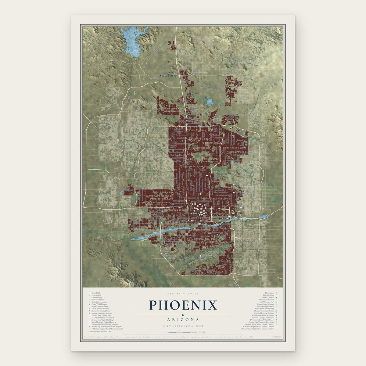
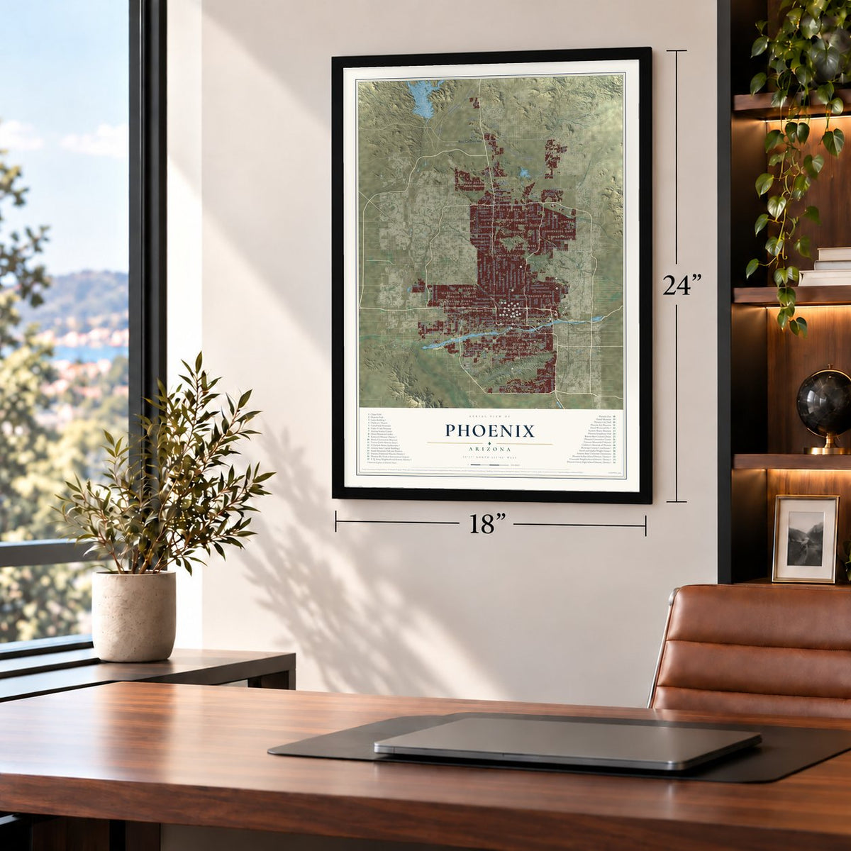
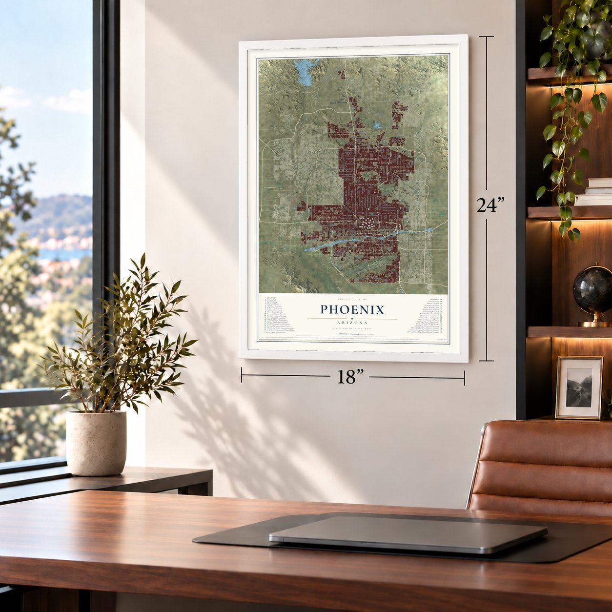
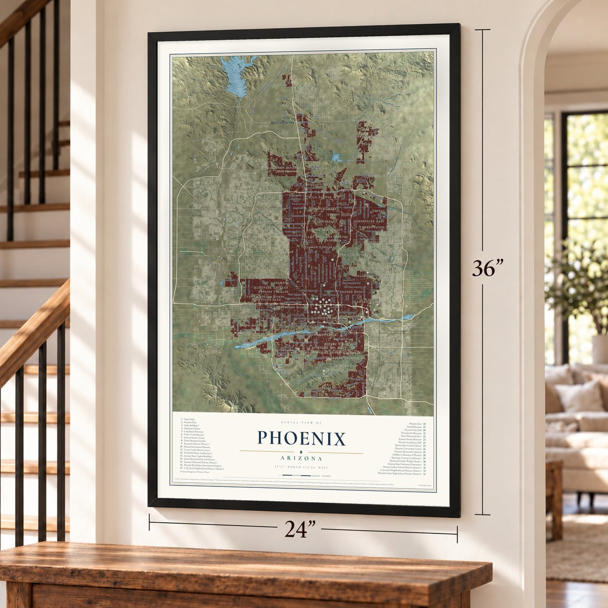
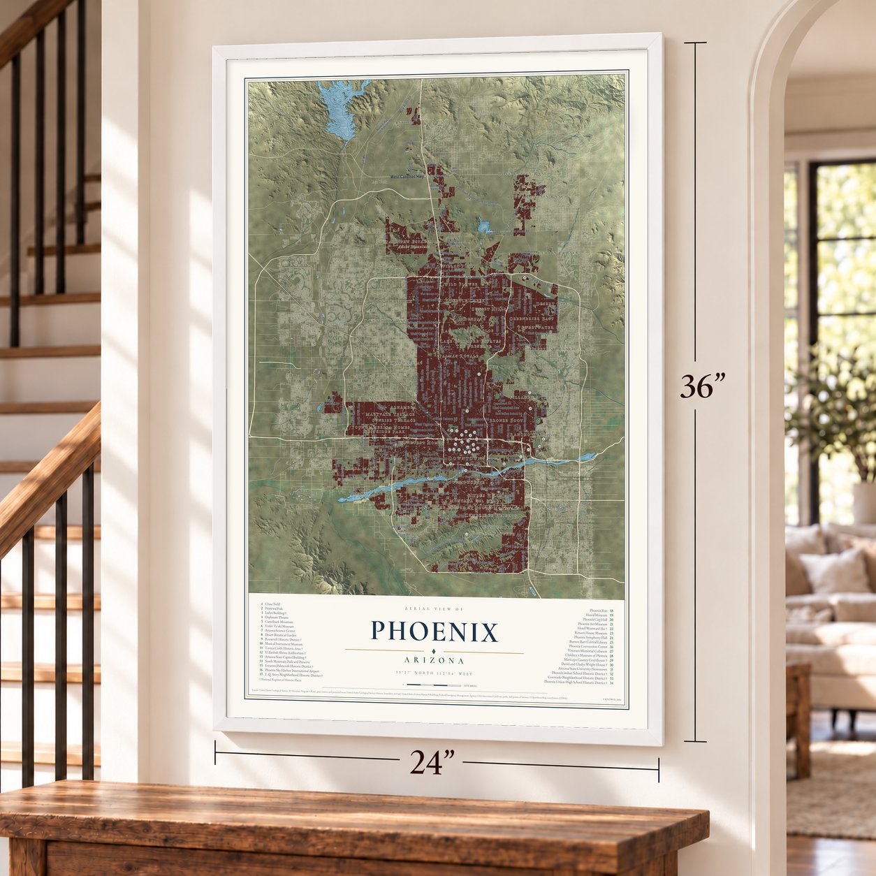
Phoenix, Arizona Map Art
Building by building, with labeled streets and shaded relief.
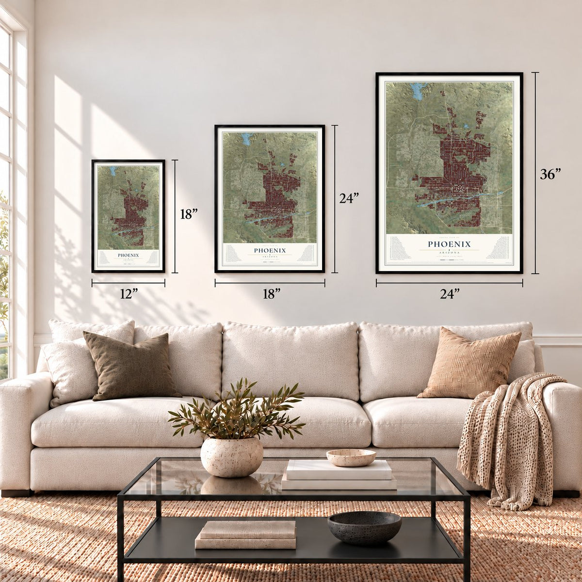
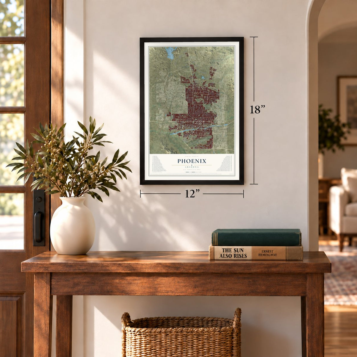
12" x 18" Archival Matte Print
A Map of Home. A Work of Art.
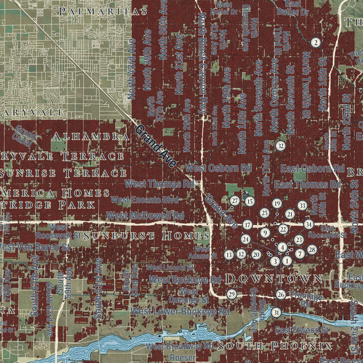
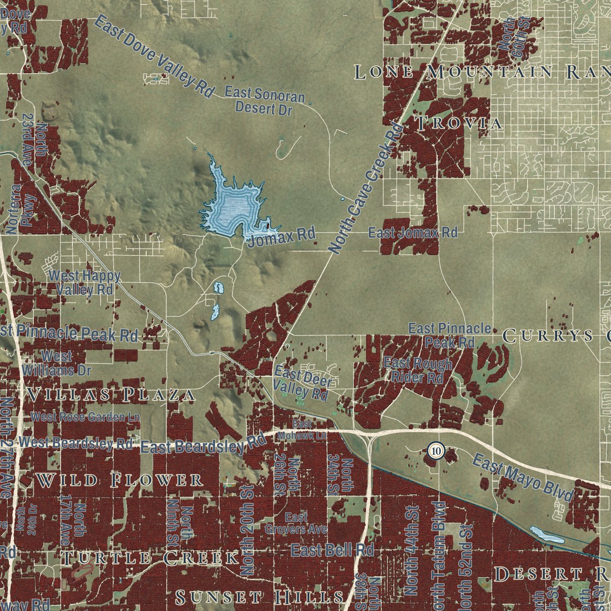
Explore Phoenix, Arizona from a whole new perspective. Created using aerial imagery and detailed geographic data, this map captures Phoenix building by building, with labeled streets, familiar landmarks, and shaded topographical relief that highlights the natural contours of the landscape.
Combining modern data with the timeless character of a vintage atlas, this map is just as interesting up close as it is beautiful on the wall. Whether you grew up in Phoenix, spent memorable years there, or call it home today, this unique map is a great way to celebrate a place that means something to you. Zoom in on the preview to look for your street, and then order a print to put your memories on the wall.

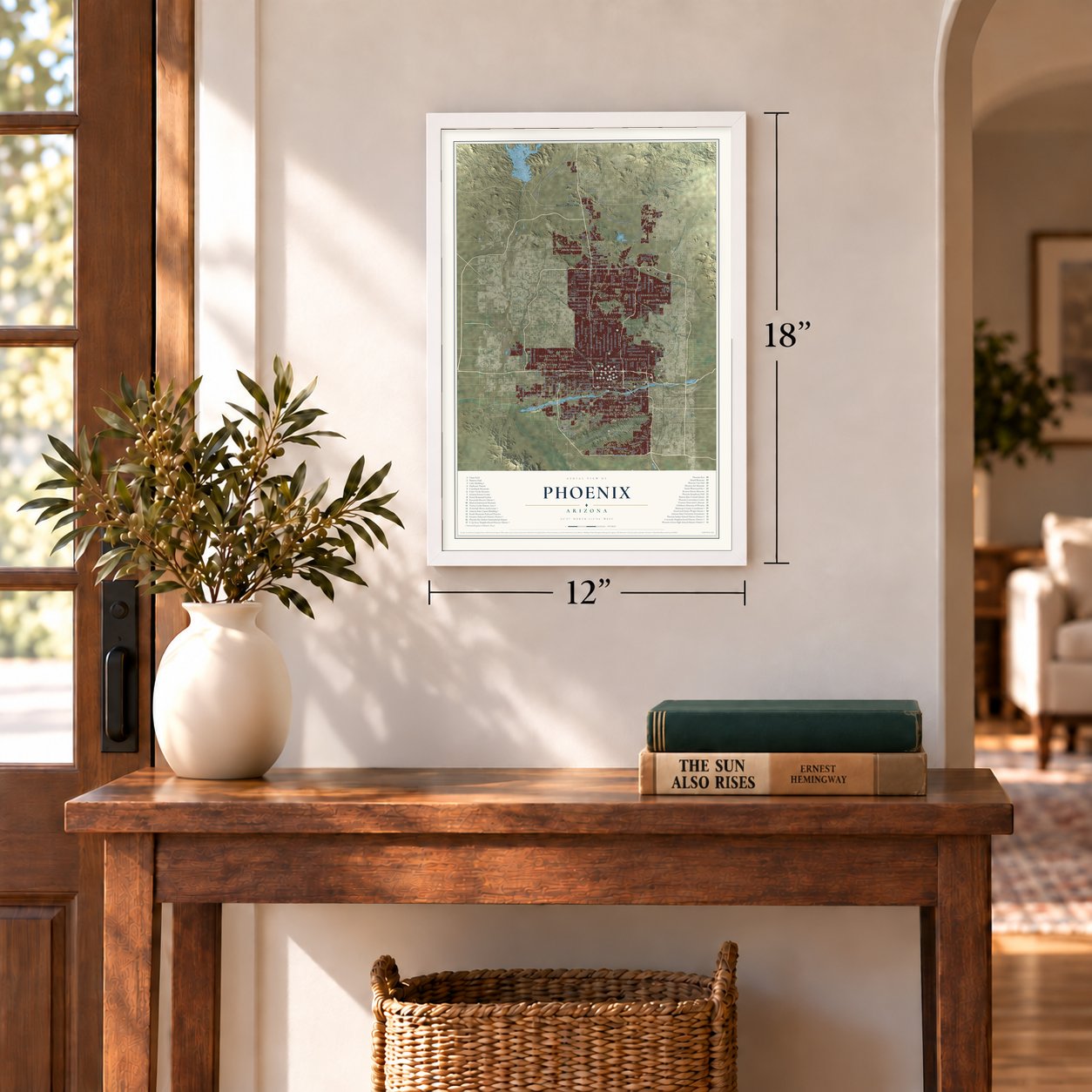
Three ways to hang it
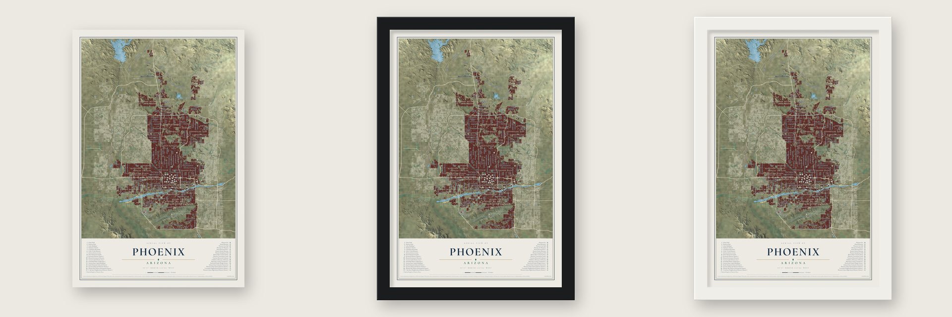
Unframed archival matte, a black wood frame or a white wood frame.
Up close
Geography Worth Displaying
This map was created using accurate cartographic data and authoritative geographic sources, including the U.S. Geological Survey (USGS) and FEMA. The map brings together terrain, waterways, roads, and building detail. The majority of the streets are labeled, houses are accurately depicted, and the topography is derived from government sources. Combining local data with carefully composed color and shading leads to this beautifully detailed Phoenix artwork for your wall.
Rather than simply showing street outlines, we’ve included as many of the street names as we could reasonably fit on the map while keeping their names legible. Zoom in on the high resolution preview to see exactly what’s on the map. We truly set out to create a statement piece for anyone who loves Phoenix. So whether it’s for you, or a gift for someone you love, we hope this map of Phoenix brings back fond memories.
Explore the full map of Phoenix, Arizona and read about the local places it shows.
Find your street
Names on the Phoenix map
Every name below is printed on this map. Look for your street, your school, the park where you played, or the pond down the road.
Places and landmarks49
- Downtown
- Adobe Mountain
- Apache Peak
- Barnes Butte
- Bell Butte
- Apache Spring
- Aso Tank
- Laveen
- Currys Corner
- Westcliff Park
- Wonder Rift
- Firebrand Ranch
Show all 49 places
- Desert Ridge
- Anthem
- Lone Mountain Ranch
- Santa Maria
- Maryvale Terrace
- The Pointe
- South Phoenix
- Alhambra
- Rancho Hermoso
- The Pointe at South Mountain
- Westridge Park
- Village on the Lakes
- Turtle Creek
- Sweetwater Garden
- Villas Plaza
- Dove Valley Ranch
- Cambridge Heights
- Parkview North
- Palmaritas
- Parkview Estates
- Sunrise Terrace
- Trovia
- The Preserve
- Bronze Boot
- Greenbrier East
- Palmas Royale
- La Montana del Sur
- Citrus Hills
- Lake Biltmore Estates
- Maryvale
- Wild Flower
- Ridgegate
- Young America Homes
- Sunburst Homes
- Rancho San Carlos
- Sunset Hills
- Ahwatukee
Streets and roads188
- North 43rd Avenue
- West Carefree Highway
- Grand Avenue
- North Black Canyon Highway
- North Cave Creek Road
- North 19th Avenue
- North 40th Street
- North Seventh Street
- North 35th Avenue
- North 31st Avenue
- North 56th Street
- North 27th Avenue
- North 39th Avenue
- North Tatum Boulevard
- North Seventh Avenue
- North 15th Avenue
- North Central Avenue
- North 48th Street
- North 16th Street
- North Twelfth Street
- North 32nd Street
- North 44th Street
- North 20th Street
- North 51st Avenue
- West Thomas Road
- North 28th Street
- North 22nd Street
- West Lower Buckeye Road
- West Osborn Road
- West McDowell Road
Show all 188 streets
- North 52nd Street
- South 48th Street
- West Van Buren Street
- East Washington Street
- New River Road
- East Bell Road
- North 24th Street
- South 51st Avenue
- West Southern Avenue
- West Baseline Road
- West Pinnacle Peak Road
- South 24th Street
- East Beardsley Road
- South 40th Street
- East Thomas Road
- West Buckeye Road
- East Cactus Road
- West Dobbins Road
- East Chandler Boulevard
- East Osborn Road
- East Mayo Boulevard
- North 28th Drive
- West Thunderbird Road
- East Shea Boulevard
- East Roeser Road
- West Bell Road
- East Dove Valley Road
- East University Drive
- East Campbell Avenue
- West Greenway Road
- West Cactus Road
- East San Juan Road
- Carefree Highway
- West Elliot Road
- Summit Road
- East Ray Road
- South 99th Avenue
- East Pecos Road
- West Cholla Street
- South 67th Avenue
- North 91st Avenue
- West Chandler Boulevard
- North 87th Avenue
- North 99th Avenue
- East Knox Road
- Jomax Road
- North 23rd Avenue
- North 21st Avenue
- North 37th Avenue
- North 33rd Avenue
- North 29th Avenue
- North 36th Street
- North 17th Avenue
- North Third Avenue
- West Encanto Boulevard
- North Eleventh Avenue
- West Broadway Road
- South 44th Street
- West Camelback Road
- North 30th Street
- North Third Street
- West Roosevelt Street
- Frontage Road
- North 34th Street
- West Happy Valley Road
- East Camelback Road
- West Vineyard Road
- North 38th Street
- North Ninth Street
- Grand Canal
- South 59th Avenue
- East Indian School Road
- North 26th Street
- East Pinnacle Peak Road
- North 15th Street
- North El Paso Gas Pipeline Road
- South 35th Avenue
- South Seventh Avenue
- North 64th Street
- East Deer Valley Road
- North 60th Street
- West Durango Street
- West Union Hills Drive
- South 15th Avenue
- South 43rd Avenue
- South 36th Street
- West South Mountain Avenue
- West Beardsley Road
- South 32nd Street
- West Sweetwater Avenue
- East Elwood Street
- East Sonoran Desert Drive
- West Peoria Avenue
- West Carver Road
- West Deer Valley Road
- North 83rd Avenue
- West Acoma Drive
- North 62nd Street
- South 75th Avenue
- West Illini Street
- South 63rd Avenue
- South 28th Street
- East Buckeye Road
- South 91st Avenue
- East Jomax Road
- West Williams Drive
- West Dove Valley Road
- East Rough Rider Road
- East Cheryl Drive
- North 71st Street
- South Tv Road
- East Butler Drive
- Norterra Parkway
- Piestewa Peak Drive
- Roeser Road
- North 18th Street
- North 42nd Street
- Sky Harbor Boulevard
- East Oak Street
- East Grovers Avenue
- East Roosevelt Street
- West Grovers Avenue
- West Adams Street
- West Butler Drive
- West Rose Garden Lane
- South 42nd Street
- West Lincoln Street
- North 38th Place
- West Olney Avenue
- West Yorkshire Drive
- South 103rd Avenue
- West Estrella Drive
- West Desert Hills Drive
- North Archery Drive
- West Galvin Street
- North New River Road
- West Liberty Lane
- West Cloud Road
- West Joy Ranch Road
- 67th Avenue
- North 45th Avenue
- South Central Avenue
- North 22nd Avenue
- North 25th Avenue
- Arizona Canal
- South 46th Street
- West Elwood Street
- East Cholla Street
- North 75th Avenue
- North 24th Drive
- North 15th Drive
- West Cheryl Drive
- South 51st Street
- South 87th Avenue
- South 83rd Avenue
- 500 Kv Power
- East Mohawk Lane
- South 57th Avenue
Names are listed as they appear on the printed map. Zoom into the product photos to find them.
About Phoenix, Arizona
Phoenix, a city of 1,608,139 people in the Salt River Valley, is both Arizona's capital and the county seat of Maricopa County. For 2,000 years the Hohokam farmed this desert with roughly 135 miles of hand-dug canals, until drought and floods between 1300 and 1450 likely drove them away. In 1867 Jack Swilling, a Confederate veteran prospecting out of Wickenburg, spotted the worn mounds of their old ditches and started a canal company to grow food for the mining town.
Lord Darrell Duppa, who came with Swilling, proposed the name Phoenix, since the new town was rising from the ruins of an older people. Yavapai County recognized it on May 4, 1868, and Swilling became its first postmaster. In October 1870 residents chose a new townsite three miles west, and the lots sold there from that December set out the downtown grid. On February 25, 1881, Governor John C. Fremont signed the charter bill that made Phoenix a city of about 2,500 people.
- Capital since 1889The territorial capital moved from Prescott in 1889. James Riely Gordon won the design contest, but short funds cut the legislative wings and shrank his dome. The territory took the building on May 1, 1900, without a cornerstone, to avoid a ceremony in summer heat. Arizona became the 48th state on February 14, 1912. Lawmakers left in 1960 and the governor in 1974, when it joined the National Register; it reopened as the Arizona Capitol Museum in 1981.
- A dam for water and powerPresident Theodore Roosevelt signed the National Reclamation Act in 1902, and work on the first dam built under it, Salt River Dam #1, began in 1903 in the mountains east of Phoenix. It gave the valley both water and electricity, the first dam made to do both jobs, and it was then the largest masonry dam in the world. Roosevelt came to dedicate it on May 18, 1911, and the dam took his name in 1917.
- Skyscrapers of the 1920sStatehood sped the city's growth: by 1920 Phoenix had 29,053 people, and that year the Heard Building went up as its first skyscraper. It stood as the tallest building in Arizona until the Luhrs Building was finished in 1924. The population nearly doubled over the decade and reached 48,118 by 1930.
- Sousa at the courthouseMaricopa County and Phoenix teamed up to build a courthouse and city hall, two joined buildings in one style filling a whole block. At the cornerstone laying, Senator Carl Hayden spoke and John Philip Sousa led the Marine Corps Band. The two governments spent $1,200,000 and moved in on June 23, 1929. Terra cotta phoenix birds guard the city doors on Second Avenue, and a sixth-floor cell block has held the Maricopa County Justice Museum since 2012.
- A duel decided the sheriffThe territorial legislature split Maricopa County off from Yavapai County on February 12, 1871, and the new county held its first election that year. Two of the three men running for sheriff, John A. Chenowth and Jim Favorite, settled their rivalry with a duel. Chenowth killed Favorite and had to drop out, so Tom Barnum ran alone and became the county's first sheriff.
Keep exploring Arizona
Phoenix is one of 528 Arizona towns we've mapped. Every dot on the map is a print of its own.
The search covers every state, Arizona first.
Near Phoenix
Order 2 or more town maps and save 10%. Shown in the size and finish you picked above, so they hang as a set.
- Moon Valley 12" x 18" / Archival Matte Print $39.99
- Alhambra 12" x 18" / Archival Matte Print $39.99
- Encanto 12" x 18" / Archival Matte Print $39.99
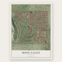

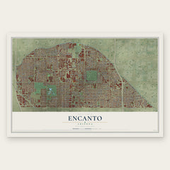
More maps nearby: Glendale, Camelback East, Paradise Valley, Deer Valley and Maryvale.
The art of mapping a place
How This Map Was Made
Real places. Remarkable detail. Discover the layers that turn geographic data into a map of home.

The view from above
Aerial imagery reveals the character of the land: woodland, open fields, and the patterns of a place.

The shape of the land
Elevation data brings hills, valleys, and subtle changes in the landscape into view.

The details of home
Roads, waterways, and building footprints come together to make the map feel unmistakably local.

Geography becomes art
Considered color, shading, and typography bring the layers together in a map made for your wall.


Process illustrated with Mendon, Massachusetts. Aerial imagery: USDA NAIP. Terrain: USGS 3D Elevation Program. Map details and finished artwork: KNOWOL.
The Details
About This Print
Choose an archival matte print, or a black or white Ayous wood frame. The archival matte print is unframed.
Select your size and finish above to see the matching product image and price.
Materials & Craftsmanship
A contemporary map with the character of a classic atlas, printed on archival matte paper. Optional frames are made from Ayous wood.
Your printed map does not include the watermark shown in the full-map preview.
Shipping & Delivery
Free shipping within the United States. Every print is made to order in the USA.
Buying a gift? Add a note in your cart and we'll include it. We never put prices in the package.
Prints ship within 2 to 3 business days. Allow 7 to 10 days total from ordering for delivery. Timing may vary during holidays or periods of high order volume.
Read our shipping policy.
Returns and damaged prints
Each print is made to order. Change-of-mind refunds are not available after production.
If your print arrives damaged, misprinted or incorrect, contact support@knowol.com within 30 days of receiving it. Include your order number, photos and a description of the issue.
Read our full refund and replacement policy. For questions about your order, email support@knowol.com.