
Search for another town

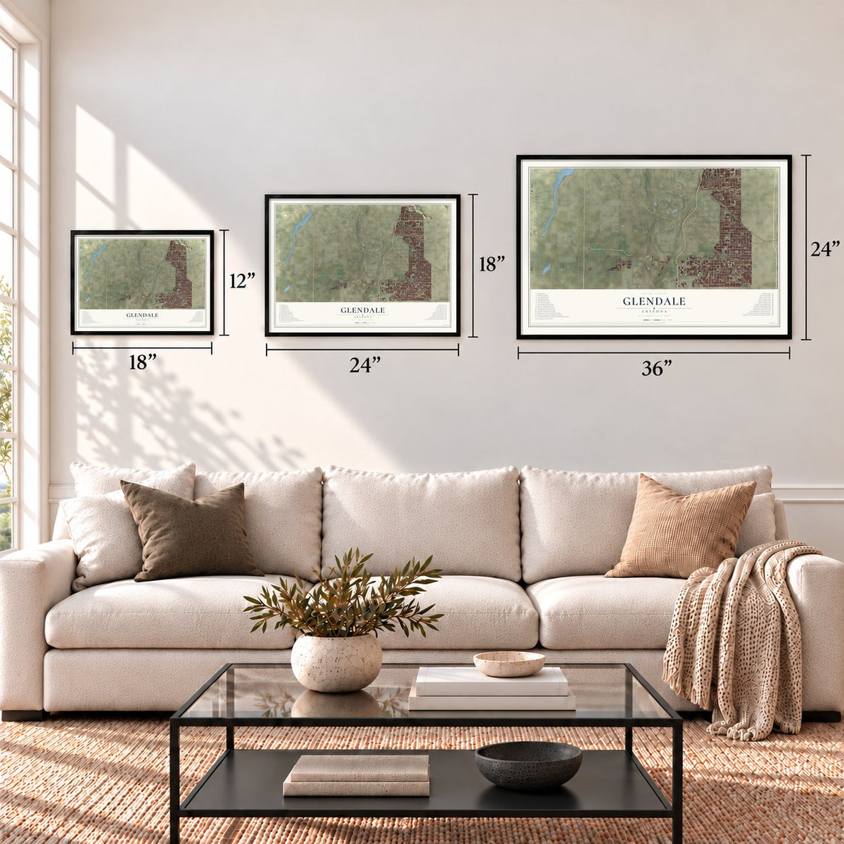

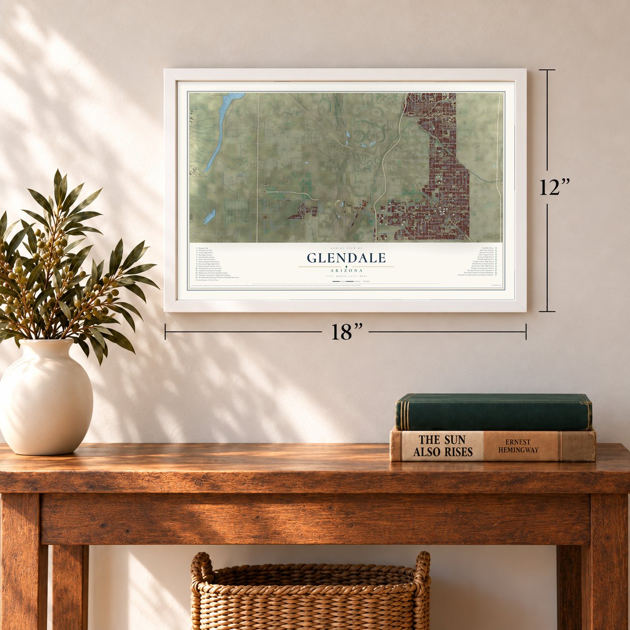

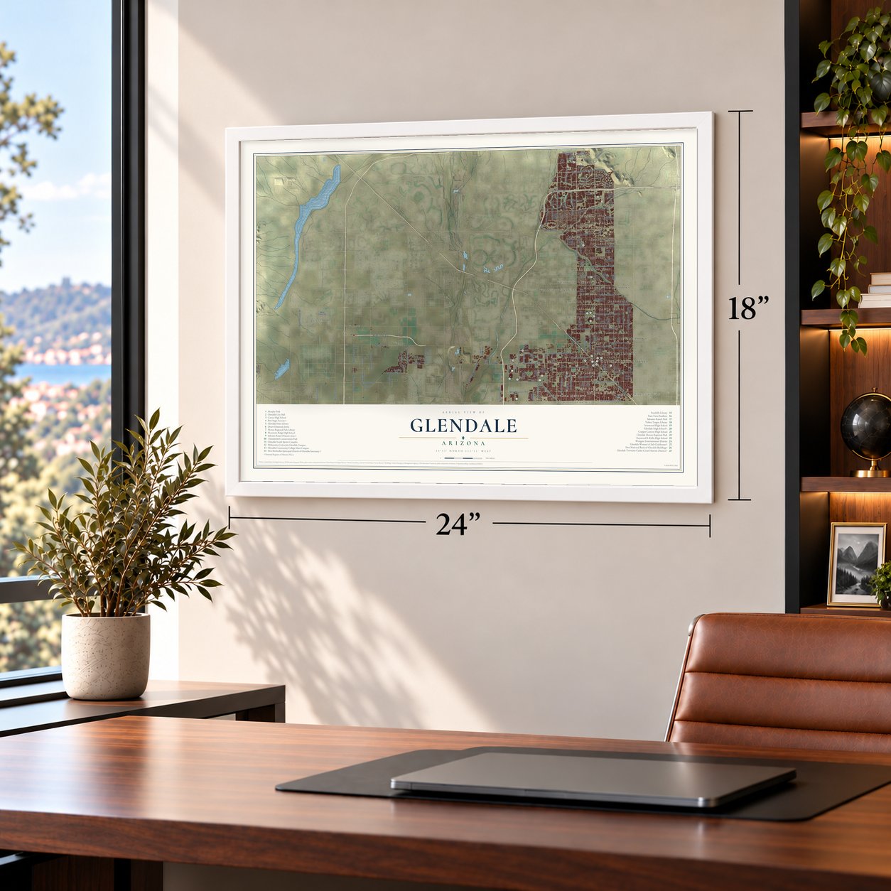

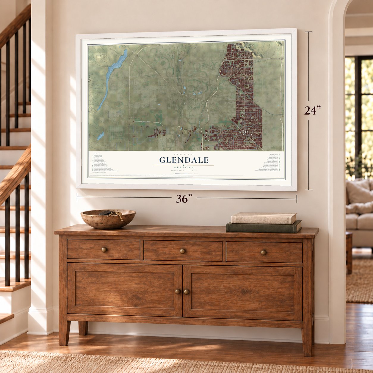

Free U.S. delivery 7 to 10 days after you order
Glendale, Arizona Map Art
Building by building, with labeled streets and shaded relief.
12" x 18" Archival Matte Print
A Map of Home. A Work of Art.
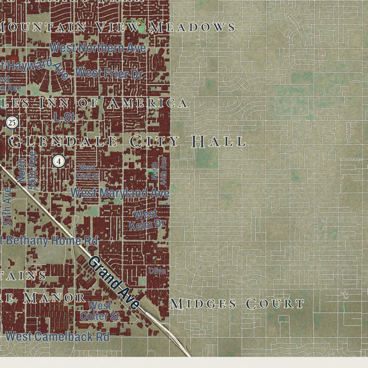
Explore Glendale, Arizona from a whole new perspective. Created using aerial imagery and detailed geographic data, this map captures Glendale building by building, with labeled streets, familiar landmarks, and shaded topographical relief that highlights the natural contours of the landscape.
Combining modern data with the timeless character of a vintage atlas, this map is just as interesting up close as it is beautiful on the wall. Whether you grew up in Glendale, spent memorable years there, or call it home today, this unique map is a great way to celebrate a place that means something to you. Zoom in on the preview to look for your street, and then order a print to put your memories on the wall.

Three ways to hang it
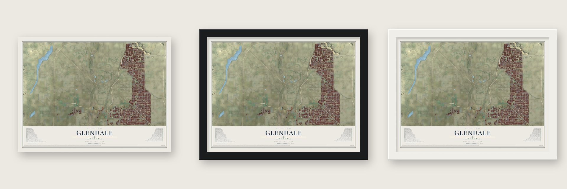
Unframed archival matte, a black wood frame or a white wood frame.
Up close
Geography Worth Displaying
This map was created using accurate cartographic data and authoritative geographic sources, including the U.S. Geological Survey (USGS) and FEMA. The map brings together terrain, waterways, roads, and building detail. The majority of the streets are labeled, houses are accurately depicted, and the topography is derived from government sources. Combining local data with carefully composed color and shading leads to this beautifully detailed Glendale artwork for your wall.
Rather than simply showing street outlines, we’ve included as many of the street names as we could reasonably fit on the map while keeping their names legible. Zoom in on the high resolution preview to see exactly what’s on the map. We truly set out to create a statement piece for anyone who loves Glendale. So whether it’s for you, or a gift for someone you love, we hope this map of Glendale brings back fond memories.
Explore the full map of Glendale, Arizona and read about the local places it shows.

Find your street
Names on the Glendale map
Every name below is printed on this map. Look for your street, your school, the park where you played, or the pond down the road.
Places and landmarks33
- Glendale City Hall
- Arrowhead Ranch
- Fennemore
- Marlborough Meadows
- La Fontana Heights
- Lexington Place
- Windsor Square
- Webb
- Belaire Manor
- Chaparral
- San Miguel
- Mountain View Meadows
Show all 33 places
- Wellington Court
- Midges Court
- Santa Maria
- The Citadel
- Paradise Grove Family Park
- Village Park
- Royal Estates West
- Shadow Hills
- Roles Inn of America
- Wayne
- Greenbriar
- Tiki Tai Village
- Saddlehorn Ranch
- Westerra
- Montara
- Sunset Vista
- College Park
- Three Fountains
- Ironwood Terrace
- Westwind
- Quail Lane
Streets and roads147
- Grand Avenue
- West Glendale Avenue
- North 67th Avenue
- West Bethany Home Road
- North 63rd Avenue
- North 61st Avenue
- West Camelback Road
- West Maryland Avenue
- North 71st Avenue
- West Ocotillo Road
- West Orangewood Avenue
- North 75th Avenue
- West Missouri Avenue
- North 69th Avenue
- West Myrtle Avenue
- North 73rd Avenue
- West Northern Avenue
- North 45th Avenue
- North 79th Avenue
- West Bell Road
- West Rose Lane
- West Union Hills Drive
- West Frier Drive
- West Mountain View Road
- North 83rd Avenue
- West Peoria Avenue
- Reems Road
- North Litchfield Road
- North 66th Avenue
- North 91st Avenue
Show all 147 streets
- North Glen Harbor Boulevard
- North 95th Avenue
- West Greenway Road
- North Sarival Road
- West Cholla Street
- West Kings Avenue
- North 99th Avenue
- West Deer Valley Road
- Northern Avenue
- North Sarival Avenue
- West Thunderbird Road
- Super Sabre Street
- West Hayward Avenue
- North Cotton Lane
- North 147th Avenue
- 83rd Avenue
- North Dysart Road
- North Citrus Road
- Jerstad Lane
- Beardsley Road
- 99th Avenue
- 59th Avenue
- Apache
- Spad Street
- Zuni
- 89th Avenue
- 93rd Avenue
- Aqua
- L-Street
- North 59th Avenue
- North 55th Avenue
- North 57th Avenue
- North 53rd Avenue
- North 65th Avenue
- North 47th Avenue
- West Colter Street
- North 55th Drive
- North 51st Drive
- West Utopia Road
- West Grovers Avenue
- West Paradise Lane
- West Alice Avenue
- West Keim Drive
- West Desert Cove Avenue
- West Tuckey Lane
- North 77th Avenue
- West Melinda Lane
- West Oraibi Drive
- North Alsup Road
- West Cheryl Drive
- West Crocus Drive
- North 75th Drive
- West Pinnacle Peak Road
- Grand Canal
- West Nancy Road
- North 89th Avenue
- North 85th Avenue
- North 44th Drive
- North Perryville Road
- North 71st Lane
- Bethany Home Road
- Emil Rovey Parkway
- New River Road
- West Parkside Lane
- Glendale Avenue
- West Patrick Lane
- North 107th Avenue
- North 83rd Lane
- 101st Avenue
- 71st Avenue
- Lane Avenue
- Phoenix-Wickenburg Highway
- North 52nd Avenue
- North 49th Avenue
- North 64th Drive
- North 68th Avenue
- North 70th Avenue
- North 68th Drive
- West Morten Avenue
- West Behrend Drive
- West Sunnyside Drive
- West Altadena Avenue
- West Sweetwater Avenue
- West Eva Street
- North 77th Drive
- West Robin Lane
- West Barbara Avenue
- West Super Sabre Street
- North 76th Drive
- West Maui Lane
- West Talavi Boulevard
- 159th Avenue
- North Ammo Drive
- 76th Avenue
- North 63rd Drive
- North 61st Drive
- North 58th Drive
- West Lamar Road
- West Cavalier Drive
- West Vogel Avenue
- West Villa Theresa Drive
- North 73rd Drive
- West Tonopah Drive
- West Krall Street
- West Rose Garden Lane
- North 44th Avenue
- West Abraham Lane
- West Ironwood Drive
- North 78th Avenue
- West Villa Rita Drive
- Fighter Country Avenue
- North 79th Drive
- North 79th Lane
- Carole Lane
- North Reems Road
- Olive
- Hopi
Names are listed as they appear on the printed map. Zoom into the product photos to find them.
About Glendale, Arizona
Glendale is a city of 248,325 people in Maricopa County, on the border of Phoenix. William John Murphy, born in New Hartford, New York, and living in Flagstaff, took charge of building the 40-mile Arizona Canal between Granite Reef and the New River, and he completed it in 1885. He had agreed to take his pay in company stock, bonds and land, so the job left him deep in debt. In 1887 Murphy set up the Arizona Improvement Company to sell the water rights and the land below the canal, and the name he gave that land was Glendale.
To draw buyers out from Phoenix, Murphy built Grand Avenue, an 18-mile road that cut diagonally across the desert to Peoria. He also traded right-of-way along it so a railroad from Prescott to Phoenix could be built, which let settlers ship goods north and bring in building materials. In 1891 Burgess Hadsell helped him bring 70 Brethren and River Brethren families to start a temperance colony, and the town's ban on alcohol kept new settlers coming. The original townsite, laid out by Murphy in 1895, set aside a park and lots for businesses.
- Beet sugar from 1906Murphy's Arizona Sugar Company built the Beet Sugar Factory, a million-dollar plant that began work in 1906. It made sugar only until 1913, but the families it drew to Glendale stayed. Mexican families made their homes in a neighborhood that took the name Mexican Town, and Russian Spiritual Christians known as Molokans came to buy farmland with the factory's help.
- A clubhouse built on $5 sharesFounded in 1901 as a Self Culture Club, the Glendale Woman's Club was meant for reading and self-improvement. In 1912 they sold $5 shares to pay for a Craftsman clubhouse of California redwood, designed by Thornton Fitzhugh. Churches met there on Sundays from 1914, and in World War I the Red Cross made bandages there.
- On the same corner since 1912Glendale High School was founded in 1911 and settled at Glendale and Grand Avenues in the fall of 1912. No Arizona high school still on its first site is older, and its auditorium is on the National Register. The country singer Marty Robbins studied there, and so did John F. Long, the developer who went on to build Maryvale.
- Thunderbird Field, 1941Leland Hayward, a Hollywood producer, headed the group that built Thunderbird Field near Glendale in 1941 to train pilots for the Army, and James Stewart, Cary Grant and Henry Fonda were among its backers. Millard Sheets planned it to look like a Thunderbird from the air, with the control tower for a tail and hangars for wings. Before it closed in June 1945, 10,000 pilots from 30 nations trained there. The grounds housed the Thunderbird School of Global Management.
Keep exploring Arizona
Glendale is one of 528 Arizona towns we've mapped. Every dot on the map is a print of its own.
The search covers every state, Arizona first.
Near Glendale
Order 2 or more town maps and save 10%. Shown in the size and finish you picked above, so they hang as a set.
- Maryvale 12" x 18" / Archival Matte Print $39.99
- Alhambra 12" x 18" / Archival Matte Print $39.99
- Phoenix 12" x 18" / Archival Matte Print $39.99

More maps nearby: Tolleson, Youngtown, Sun City, Encanto and Moon Valley.
The art of mapping a place
How This Map Was Made
Real places. Remarkable detail. Discover the layers that turn geographic data into a map of home.

The view from above
Aerial imagery reveals the character of the land: woodland, open fields, and the patterns of a place.

The shape of the land
Elevation data brings hills, valleys, and subtle changes in the landscape into view.

The details of home
Roads, waterways, and building footprints come together to make the map feel unmistakably local.

Geography becomes art
Considered color, shading, and typography bring the layers together in a map made for your wall.


Process illustrated with Mendon, Massachusetts. Aerial imagery: USDA NAIP. Terrain: USGS 3D Elevation Program. Map details and finished artwork: KNOWOL.
The Details
About This Print
Choose an archival matte print, or a black or white Ayous wood frame. The archival matte print is unframed.
Select your size and finish above to see the matching product image and price.
Materials & Craftsmanship
A contemporary map with the character of a classic atlas, printed on archival matte paper. Optional frames are made from Ayous wood.
Your printed map does not include the watermark shown in the full-map preview.
Shipping & Delivery
Free shipping within the United States. Every print is made to order in the USA.
Buying a gift? Add a note in your cart and we'll include it. We never put prices in the package.
Prints ship within 2 to 3 business days. Allow 7 to 10 days total from ordering for delivery. Timing may vary during holidays or periods of high order volume.
Read our shipping policy.
Returns and damaged prints
Each print is made to order. Change-of-mind refunds are not available after production.
If your print arrives damaged, misprinted or incorrect, contact support@knowol.com within 30 days of receiving it. Include your order number, photos and a description of the issue.
Read our full refund and replacement policy. For questions about your order, email support@knowol.com.