
Search for another town





Free U.S. delivery 7 to 10 days after you order
Pontiac, Michigan Map Art
Building by building, with labeled streets and shaded relief.
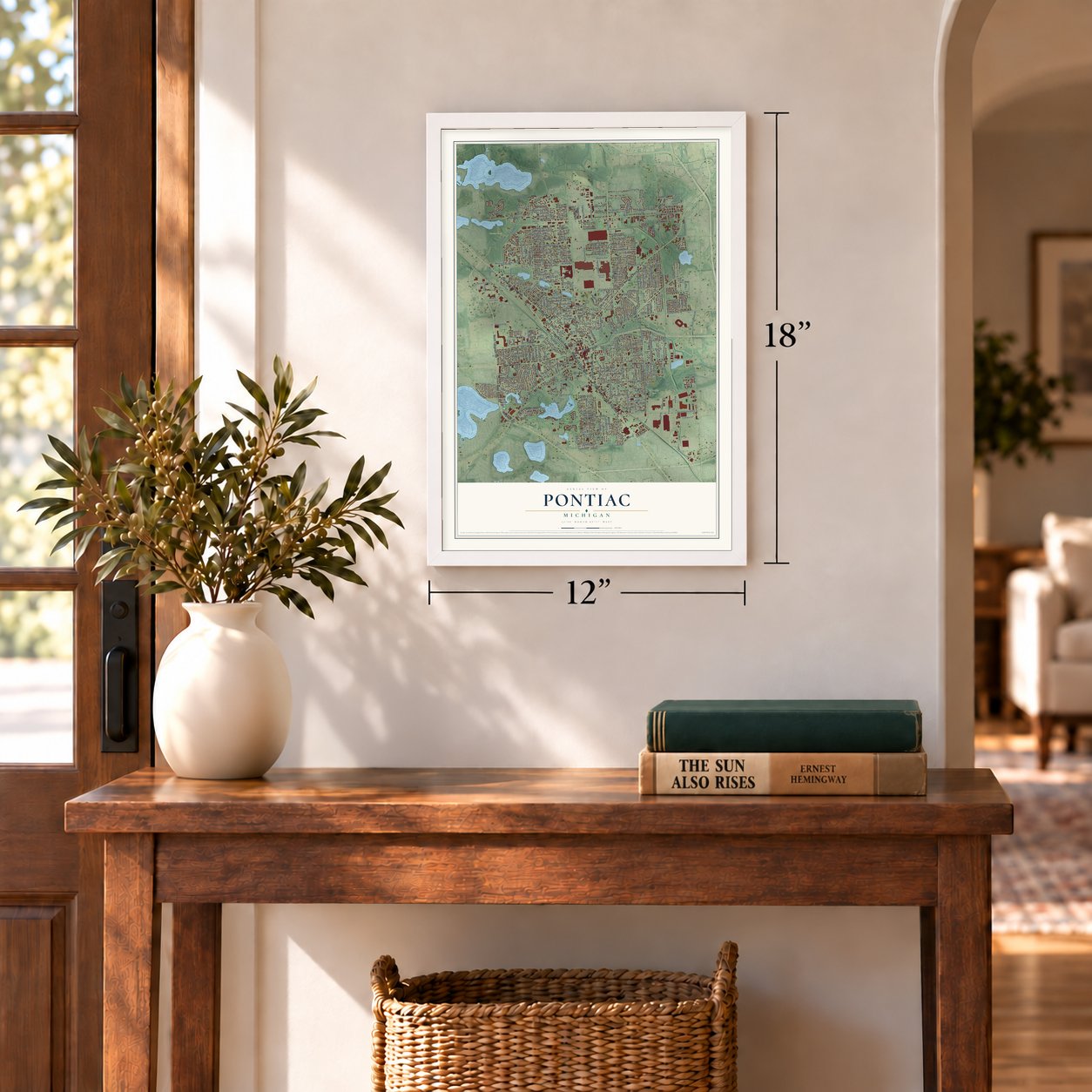
12" x 18" Archival Matte Print
A Map of Home. A Work of Art.
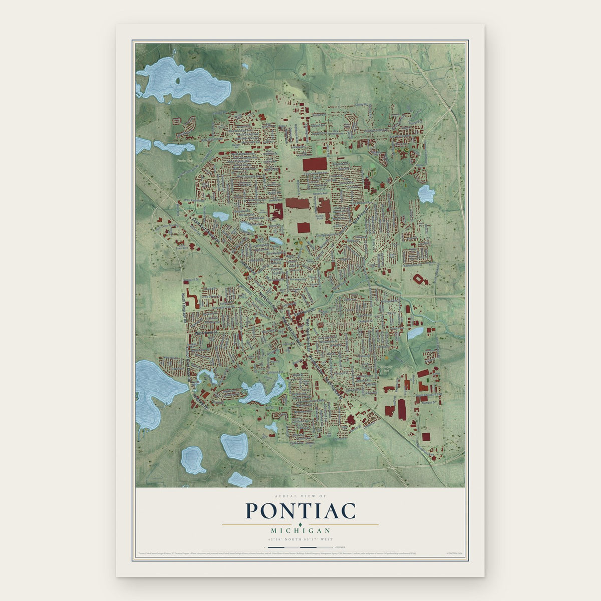
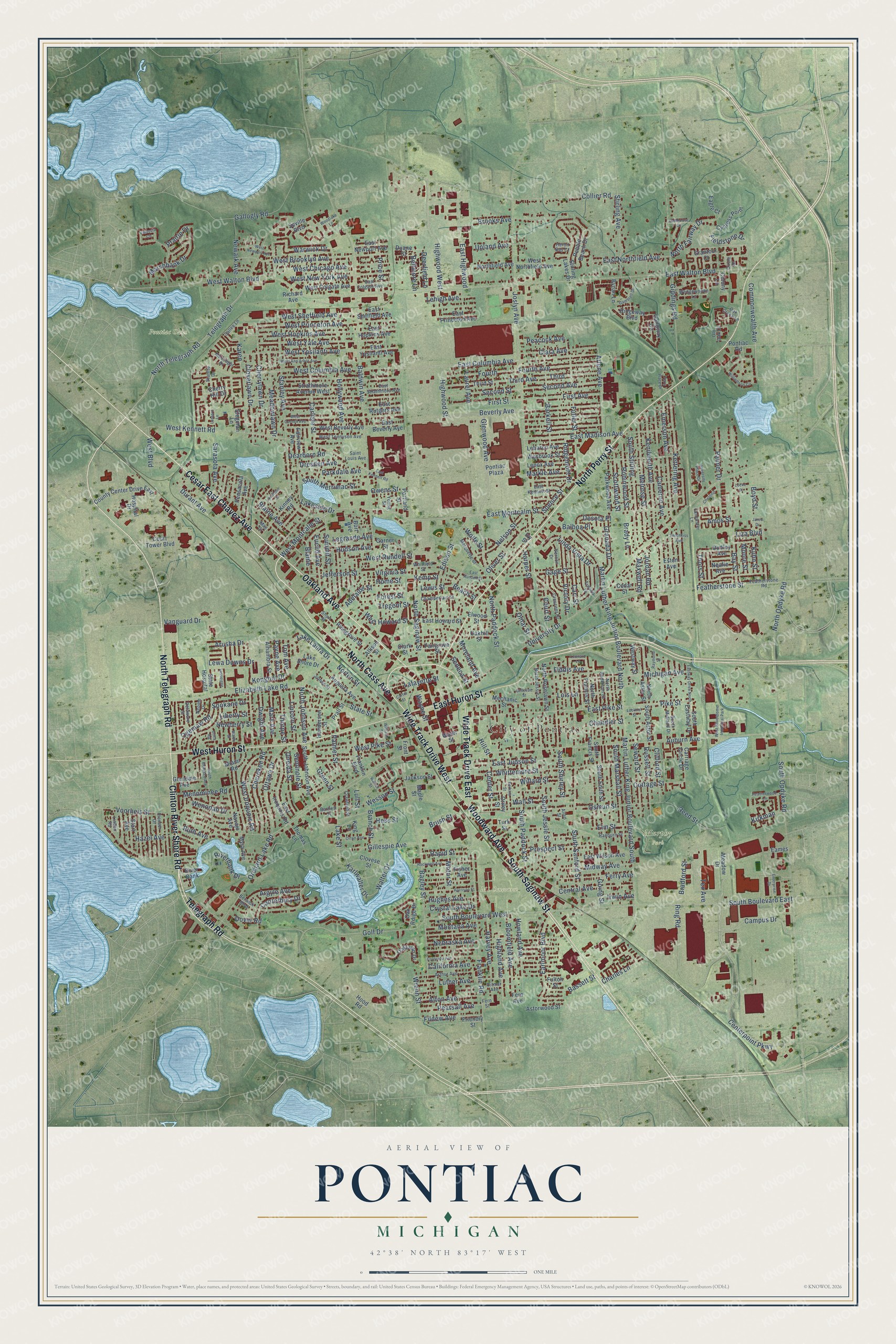
Explore Pontiac, Michigan from a whole new perspective. Created using aerial imagery and detailed geographic data, this map captures Pontiac building by building, with labeled streets, familiar landmarks, and shaded topographical relief that highlights the natural contours of the landscape.
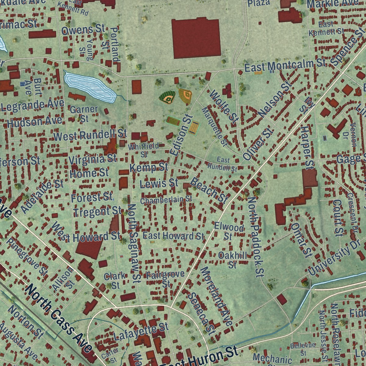
Combining modern data with the timeless character of a vintage atlas, this map is just as interesting up close as it is beautiful on the wall. Whether you grew up in Pontiac, spent memorable years there, or call it home today, this unique map is a great way to celebrate a place that means something to you. Zoom in on the preview to look for your street, and then order a print to put your memories on the wall.
Three ways to hang it
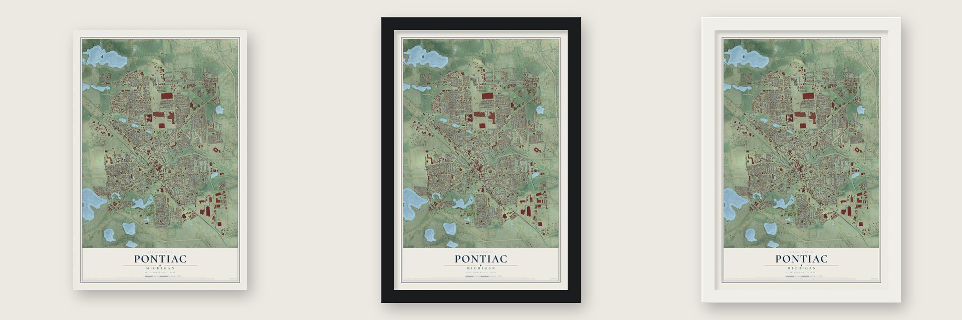
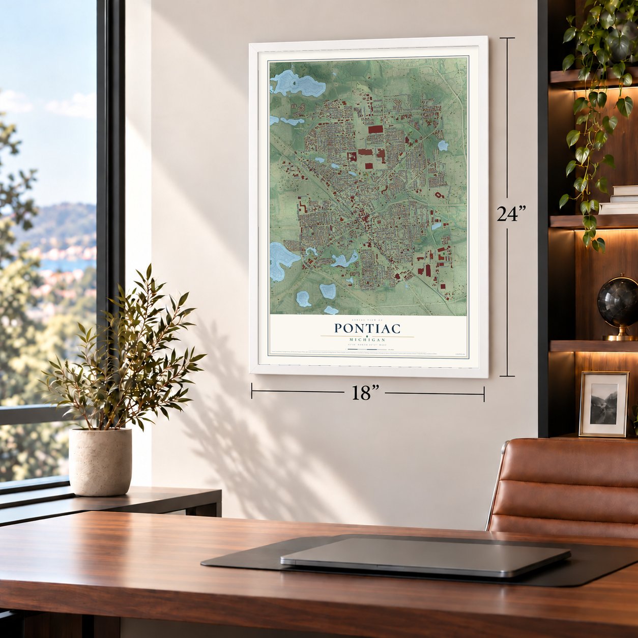
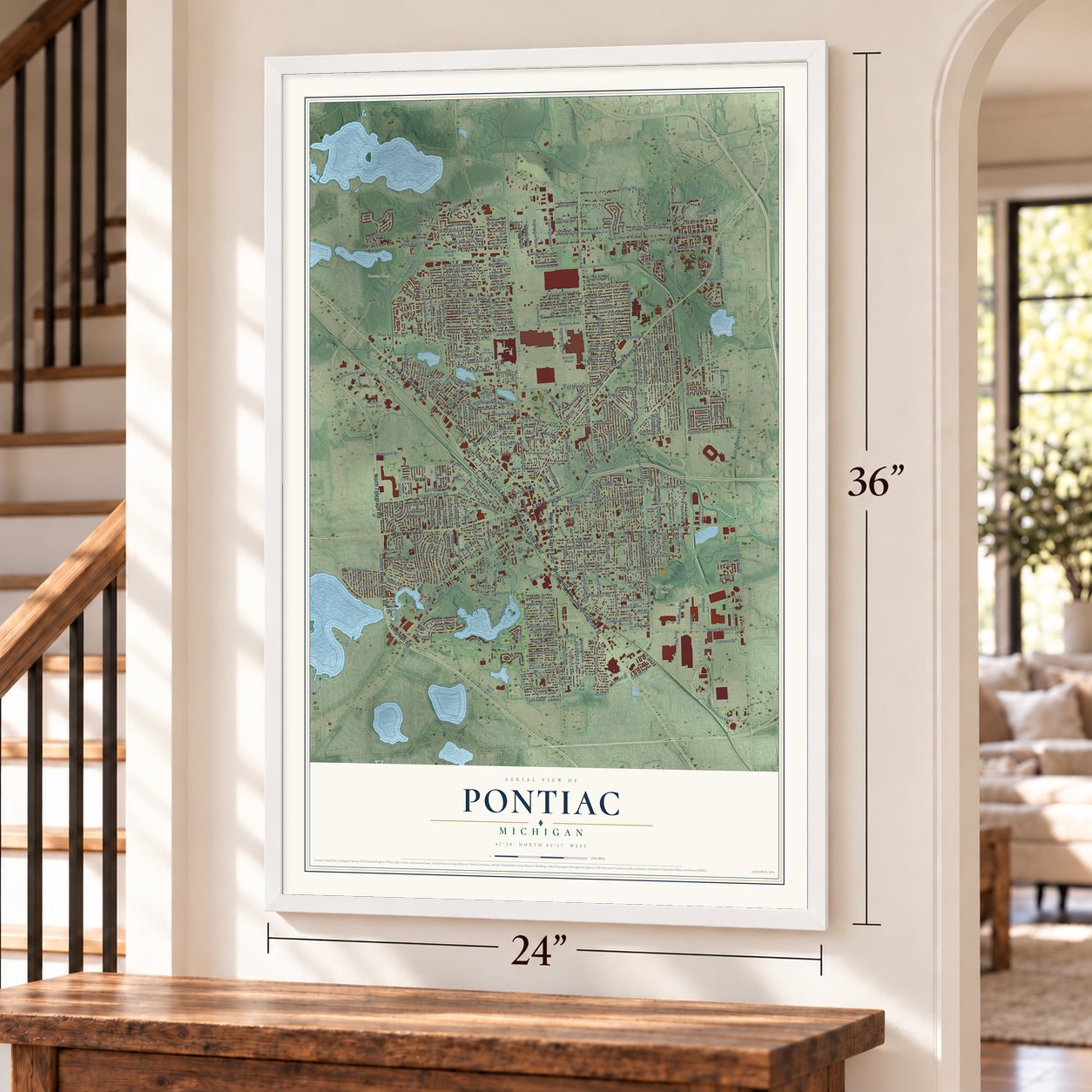
Unframed archival matte, a black wood frame or a white wood frame.
Up close
Geography Worth Displaying
This map was created using accurate cartographic data and authoritative geographic sources, including the U.S. Geological Survey and the Census Bureau. The map brings together terrain, waterways, roads, and building detail. The majority of the streets are labeled, houses are accurately depicted, and the topography is derived from government sources. Combining local data with carefully composed color and shading leads to this beautifully detailed Pontiac artwork for your wall.
Rather than simply showing street outlines, we’ve included as many of the street names as we could reasonably fit on the map while keeping their names legible. Zoom in on the high resolution preview to see exactly what’s on the map. We truly set out to create a statement piece for anyone who loves Pontiac. So whether it’s for you, or a gift for someone you love, we hope this map of Pontiac brings back fond memories.
Read the story behind this map of Pontiac, Michigan from 2026.
Find your street
Names on the Pontiac map
Every name below is printed on this map. Look for your street, your school, the park where you played, or the pond down the road.
Places and landmarks5
- City of Pontiac
- M1 Concourse
- Murphy Park
- Pontiac Oaks
- West Silverdome Industrial Park
Streets and roads433
- North Perry Street
- North Telegraph Road
- Woodward Avenue
- South Saginaw Street
- Wide Track Drive East
- Clinton River Shore Road
- Wide Track Drive West
- Cesar East Chavez Avenue
- Oakland Avenue
- North Cass Avenue
- West Huron Street
- Telegraph Road
- East Huron Street
- Martin Luther King Junior Boulevard North
- East Montcalm Street
- West Montcalm Street
- Commonwealth Avenue
- East Pike Street
- West Boulevard
- Pike Street
- Telegraph Drive
- South Boulevard East
- West Kennett Road
- East Columbia Avenue
- Blaine
- West Columbia Avenue
- Orchard Lake Road
- Auburn Avenue
- West Hopkins Avenue
- Arusha Drive
Show all 433 streets
- Fiddis Avenue
- Centerpoint Parkway
- Campus Drive
- Arlene Avenue
- Jefferson Street
- Kongoni Drive
- Thors Street
- Baldwin Avenue
- University Drive
- Joslyn Avenue
- East Walton Boulevard
- South Opdyke Road
- Martin Luther King Junior Boulevard South
- Bagley Street
- Stanley Avenue
- Elizabeth Lake Road
- Franklin Road
- West Walton Boulevard
- North Saginaw Street
- Glenwood Avenue
- Whittemore Street
- South Sanford Street
- South Paddock Street
- Cameron Avenue
- Emerson Avenue
- Collier Road
- Price Street
- Carlisle Street
- Osmun Street
- South Jessie Street
- Giddings Road
- Golf Drive
- Featherstone Street
- Kenilworth Avenue
- Hollywood Avenue
- Michigan Avenue
- Voorheis Street
- Motor Street
- Bay Street
- Second Avenue
- Third Avenue
- Fourth Avenue
- First Avenue
- Beverly Avenue
- North Opdyke Road
- Luther Avenue
- Barkell Street
- Edison Street
- Ring Road
- South Marshall Street
- Nebraska Avenue
- Menominee Road
- North Paddock Street
- Fourth
- Third
- Blaine Avenue
- East Judson Street
- South Boulevard West
- Melrose Street
- Going Street
- Elm Street
- Chandler Street
- West Ypsilanti Avenue
- West Brooklyn Avenue
- South Stirling
- Cottage Street
- Kettering Avenue
- Linda Vista Drive
- Fuller Street
- East Highwood
- Cherrylawn Drive
- Wesson Street
- Highwood Street
- Nelson Street
- Ridgemont Drive
- Highwood West
- North Johnson Avenue
- Riverbank Drive
- Ferry Avenue
- Liberty Street
- West Yale Avenue
- West Princeton Avenue
- East Madison Avenue
- Central Avenue
- Ottawa Drive
- North Fairway Drive
- California Avenue
- Palmer Drive
- Victory Drive
- Brooks Avenue
- Cherokee Road
- Bloomfield Avenue
- Cloverlawn Drive
- Prospect Street
- West Iroquois Road
- Howland Avenue
- West Pike Street
- State Street
- South Shirley Street
- Highland Avenue
- Lewa Downs Drive
- Harvey Avenue
- Norton Street
- Earlmoor Boulevard
- Marshbank Drive
- Branch Street
- Meadowlawn Drive
- Lehigh Avenue
- Irwin Avenue
- Stirling Avenue
- Summit Street
- Desota Place
- West Sheffield Avenue
- West Chicago Avenue
- Gillespie Avenue
- Clara Avenue
- Charles Lane
- Midway Avenue
- East Northfield Avenue
- West New York Avenue
- Lois Lane
- Seward Street
- West Howard Street
- Oliver Street
- West Rundell Street
- Reed Street
- Robinwood Street
- Russell Street
- Oneida Street
- Gage Street
- Laurel Avenue
- Warwick Drive
- Parkdale Avenue
- Hazel Avenue
- Rapid Street
- South Merrimac Street
- Omar Street
- Wall Street
- Canterbury Drive
- Seminole Street
- Scottwood Street
- Sarasota Avenue
- Carr Street
- Ogemaw Road
- Pearsall Avenue
- Alton Avenue
- Boyd Street
- Wenonah Drive
- Fildew Avenue
- Lakeside Drive
- Newark Avenue
- Clifford Street
- Court Street
- Lake Street
- Argyle Avenue
- Walter Drive
- Green Street
- Euclid Avenue
- Wrenn Street
- Granada Drive
- Lincoln Street
- Thorpe Street
- Mark Avenue
- Legrande Avenue
- Dwight Avenue
- Willard Street
- Upland Avenue
- Fieldstone Drive
- Bassett Street
- Palmer Street
- Ruth Avenue
- Second Street
- First Street
- Karlwalter Drive
- Bradford Street
- Lafayette Street
- Montana Avenue
- Crystal Lake Drive
- Hughes Avenue
- Wayne Street
- Center Street
- Brady Lane
- Peacock Avenue
- Brush Street
- Lake Laura Drive
- Hudson Avenue
- Moreland Avenue
- Jordan Road
- Hill Street
- Adelaide Street
- Dresden Avenue
- Dearborn Road
- Kemp Street
- Durant Avenue
- Spence Street
- Deerfield Lane
- Bellmore Lane
- Maxwell Road
- Markle Avenue
- Vanguard Drive
- Payne Avenue
- Lewis Street
- Karen
- Balboa Place
- Spokane Drive
- Virginia Street
- Tregent Street
- Gallogly Road
- Amos Street
- Seneca Street
- Prairie Drive
- Dover Road
- Newberry Street
- Kirkman
- Tom Avenue
- Tex Avenue
- Owens Street
- Lull Street
- Moore Street
- Kuhn Street
- Wolfe Street
- Harper Street
- Liza Boulevard
- Beach Street
- Forest Street
- Hess Street
- Home Street
- Parkwood Avenue
- Oaklawn Drive
- County Center Drive East
- South Edith Street
- East Beverly Avenue
- Court Tower Boulevard
- East Wilson Avenue
- East Iroquois Road
- Strathmore Avenue West
- West Beverly Avenue
- East Princeton Avenue
- South Johnson Avenue
- Mechanic Street
- Galloway Circle
- Pebble Beach Drive
- Cherry Hill Drive
- Augusta Avenue
- Stirling Lakes Drive
- East Sheffield Avenue
- Kinney Road
- North Astor Street
- Seville Boulevard
- South Francis Street
- Friendly Street
- North Francis Street
- Fisher Avenue
- West Colgate Avenue
- Jackson Street
- North Roselawn Street
- Fulton Street
- East Howard Street
- Franklin Boulevard
- Oak Rdige Drive
- East Rutgers Avenue
- Stegman Lane
- Cypress Point
- Pontiac Plaza
- Navajo Avenue
- Henderson Street
- State Hospital
- King Lane
- Carriage Circle Drive
- Starr Avenue
- Clovese Street
- Northfield Avenue
- Pensacola Avenue
- Astorwood Street
- Wesbrook Street
- Lebaron Avenue
- Lenox Avenue
- West Northfield Avenue
- East Ypsilanti Avenue
- East Hopkins Avenue
- Alhambra Street
- South Eastway Drive
- Oakhill Street
- South Astor Street
- Ivy Street
- Prall Street
- Pinegrove Street
- Lake Shore Drive
- Glendale Avenue
- Dudley Avenue
- East Newport Avenue
- Ridgeway Boulevard
- Westway Street
- Fairgrove Street
- Miami Road
- Pontiac Road
- Duane Street
- Burt Avenue
- Thomas Lane
- Portland Street
- Hospital Drive
- Meadow Drive
- Bynan Lane
- Clark Street
- Fairview Avenue
- Eagle Court
- Elwood Street
- Water Street
- Myra Avenue
- Neafie Avenue
- Grantour Court
- Third Street
- Turk Street
- River Bank
- Cedar Street
- Garner Street
- Richard Avenue
- Fern Avenue
- Allison Street
- Oriley Street
- Colony Lane
- Eames
- Eston Avenue
- Maple Street
- Hood Road
- Front Street
- Raeburn Street
- Featherstone Road
- Chamberlain Street
- Circle Drive
- Arthur Avenue
- Berwick Boulevard
- Ditmar Avenue
- Old Oak Court
- Vernon Drive
- Lancaster Lane
- West Tennyson Avenue
- Marquette Street
- East Strathmore Avenue
- Pioneer Drive
- East Kennett Street
- Crescent Drive
- East Colgate Avenue
- South Midland Drive
- North Jessie Street
- Wedgewoode Lane
- North Anderson Street
- Sallee Lane
- Moonlight Drive
- Whitfield Street
- Delaware Street
- Starlite Drive
- Crawford Street
- Saint Louis Avenue
- Neome Drive
- James Street
- Young Street
- Oak Creek Lane
- Short Street
- Bartlett Street
- Linden Road
- Heron Bay Court
- Allen Street
- Fern Street
- Mae Court
- Leonard Lane
- Woodlake Lane
- Valencia Drive
- Williamson Circle
- West Cornell Avenue
- South Genesee Avenue
- Valdosta Circle
- Rockwell Avenue
- Chestnut
- Perkins Street
- Colorado Avenue
- Harrison Street
- Perry Place Drive
- Heatherwood Lane
- Williams Street
- West Ann Arbor Avenue
- West Newport Avenue
- Eastway Drive North
- Gambrell Drive
- Orton Avenue
- University Place Drive
- East Rundell Street
- Lantern Lane
- Locke Street
- Clubhouse Drive
- Enterprise Drive
- Walnut Street
- Lookout Street
- Hollister Street
- Waldo Street
- East Kennett Road
- Raymond Street
- Jared Drive
- Bellevue Street
- Lasseigne
- Hotchkiss Avenue
- Carter Street
- Utica Road
Names are listed as they appear on the printed map. Zoom into the product photos to find them.
About Pontiac, Michigan
Pontiac is a city of 61,606 people and the county seat of Oakland County, about 26 miles northwest of downtown Detroit. For thousands of years Native people crossed this ground, where the Saginaw Trail met a river that settlers later renamed for New York governor DeWitt Clinton. Early explorers wrote off the country north of Detroit as a place of "extreme sterility and barrenness," but in 1818 the first settlers followed the trail north and stopped where it crossed the Clinton.
The town took the name of Pontiac, the Odawa war chief who had once kept his headquarters nearby. Two years after settlement it was chosen as the county seat, partly because Territorial Governor Lewis Cass listened to the Pontiac Company, whose members owned the land and argued it was the best site. Pontiac became a village in 1837, the year Michigan became a state, and the legislature made it a city in 1861.
- Sarah Sibley's settlementThe Pontiac Company had 15 members, led by Solomon Sibley of Detroit, and they were the town's first landowners. Solomon and his wife Sarah paid for most of the first buildings. Because Solomon was always away as a Territorial Congressman and later a judge, Sarah did most of the work with the settlers for two years. The Sibley-Hoyt house, believed to be among Pontiac's first buildings, still stands in private hands.
- Elizabeth Denison's 48.5 acresElizabeth Denison, a free black woman who never married, worked for the Sibleys in the 1820s. In 1825 they helped her buy land in Pontiac, and Stephen Mack, the Pontiac Company's agent, signed the deed for 48.5 acres at their request. No black woman is known to have bought land in the Michigan Territory before her.
- From wagons to the warPontiac's carriage makers were thriving as the 20th century began, and the O.J. Beaudette Wagon Works switched from carriage bodies to car bodies. In the 1910s and 1920s tens of thousands of workers, many of them African Americans of the Great Migration, came from the South to work in the General Motors plants. In World War II those plants built thousands of GMC trucks, plus torpedoes, anti-aircraft guns and tank axles.
- The SilverdomeIn 1965 resident C. Don Davidson heard the Detroit Lions wanted a new stadium, and he and city leaders pushed for one. Work on the 80,000-seat stadium began in 1972, and it opened in 1975 as Pontiac Metropolitan Stadium. The Lions played there until 2001, and it hosted Super Bowl XVI in 1982. The city later sold it for $583,000, it was torn down, and an Amazon fulfillment center took its place.
- Pontiac fever, 1968In 1968 a flu-like illness broke out in Pontiac and took the city's name. Its cause stayed a mystery until 1976, when the bacterium Legionella pneumophila was identified in Philadelphia. Doctors then tested blood saved from the 1968 patients and found the same bacterium.
Keep exploring Michigan
Pontiac is one of 2,030 Michigan towns we've mapped. Every dot on the map is a print of its own.
The search covers every state, Michigan first.
Near Pontiac
Order 2 or more town maps and save 10%. Shown in the size and finish you picked above, so they hang as a set.
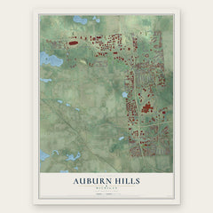
- Auburn Hills 12" x 18" / Archival Matte Print $39.99
- Sylvan Lake 12" x 18" / Archival Matte Print $39.99
- Lake Angelus 12" x 18" / Archival Matte Print $39.99


More maps nearby: Keego Harbor, Bloomfield, Bloomfield Hills, Waterford and Orchard Lake Village.
The art of mapping a place
How This Map Was Made
Real places. Remarkable detail. Discover the layers that turn geographic data into a map of home.

The view from above
Aerial imagery reveals the character of the land: woodland, open fields, and the patterns of a place.

The shape of the land
Elevation data brings hills, valleys, and subtle changes in the landscape into view.

The details of home
Roads, waterways, and building footprints come together to make the map feel unmistakably local.

Geography becomes art
Considered color, shading, and typography bring the layers together in a map made for your wall.


Process illustrated with Mendon, Massachusetts. Aerial imagery: USDA NAIP. Terrain: USGS 3D Elevation Program. Map details and finished artwork: KNOWOL.
The Details
About This Print
Choose an archival matte print, or a black or white Ayous wood frame. The archival matte print is unframed.
Select your size and finish above to see the matching product image and price.
Materials & Craftsmanship
A contemporary map with the character of a classic atlas, printed on archival matte paper. Optional frames are made from Ayous wood.
Your printed map does not include the watermark shown in the full-map preview.
Shipping & Delivery
Free shipping within the United States. Every print is made to order in the USA.
Buying a gift? Add a note in your cart and we'll include it. We never put prices in the package.
Prints ship within 2 to 3 business days. Allow 7 to 10 days total from ordering for delivery. Timing may vary during holidays or periods of high order volume.
Read our shipping policy.
Returns and damaged prints
Each print is made to order. Change-of-mind refunds are not available after production.
If your print arrives damaged, misprinted or incorrect, contact support@knowol.com within 30 days of receiving it. Include your order number, photos and a description of the issue.
Read our full refund and replacement policy. For questions about your order, email support@knowol.com.