
Search for another town




Free U.S. delivery 7 to 10 days after you order
Pottsville, Pennsylvania Map Art
Building by building, with labeled streets and shaded relief.
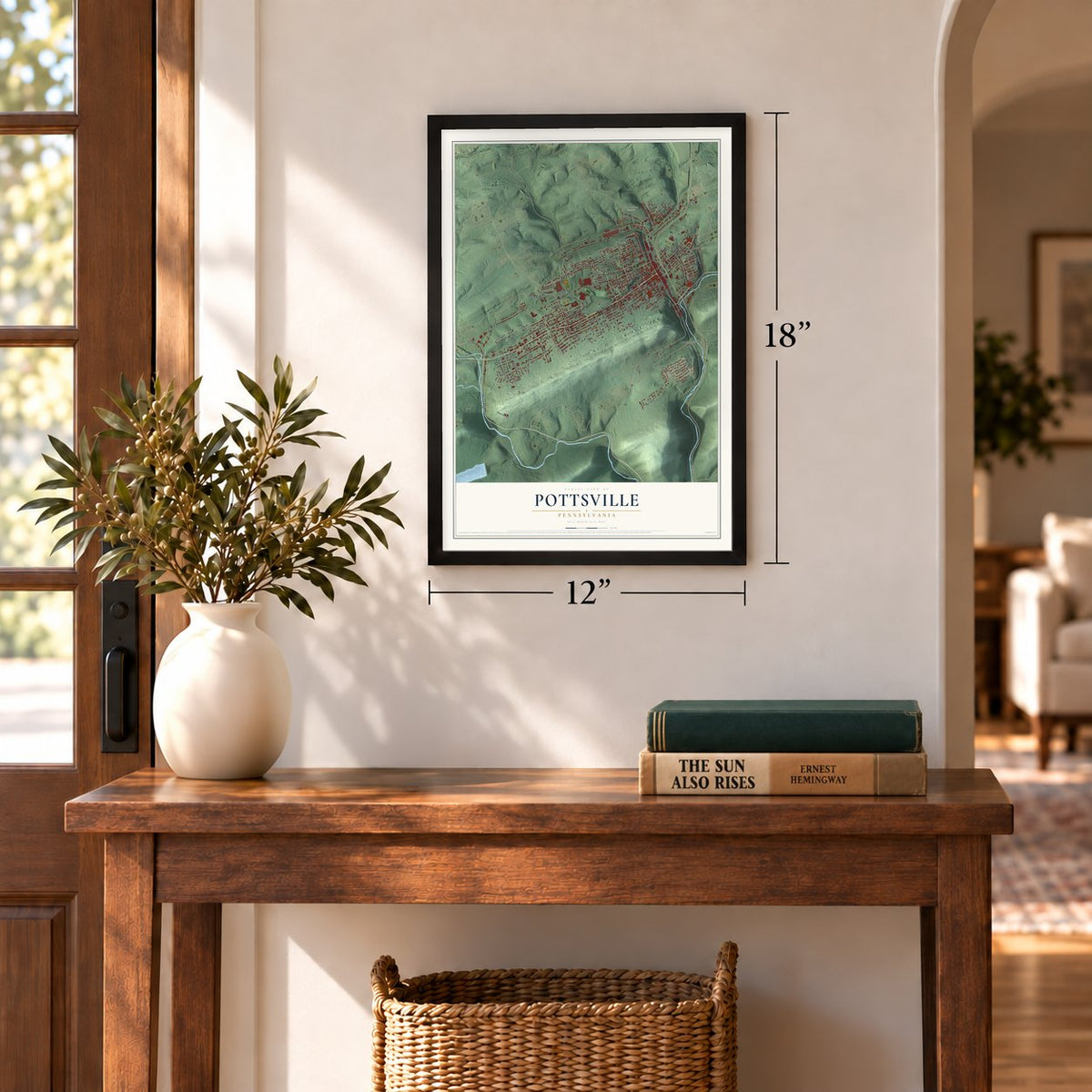
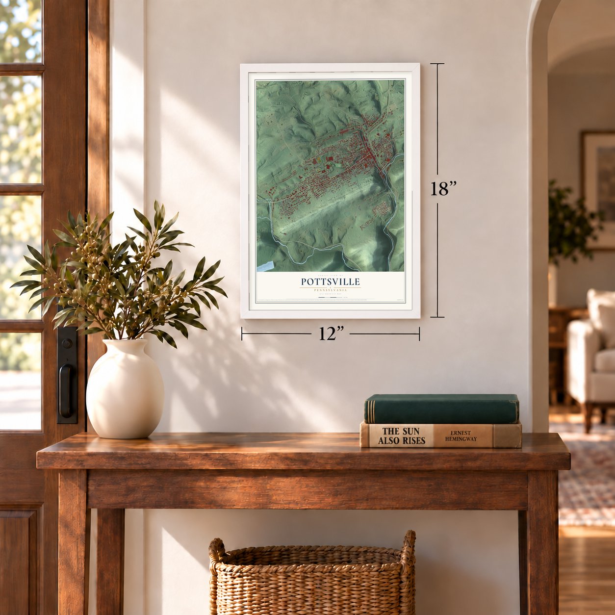
12" x 18" Archival Matte Print
A Map of Home. A Work of Art.
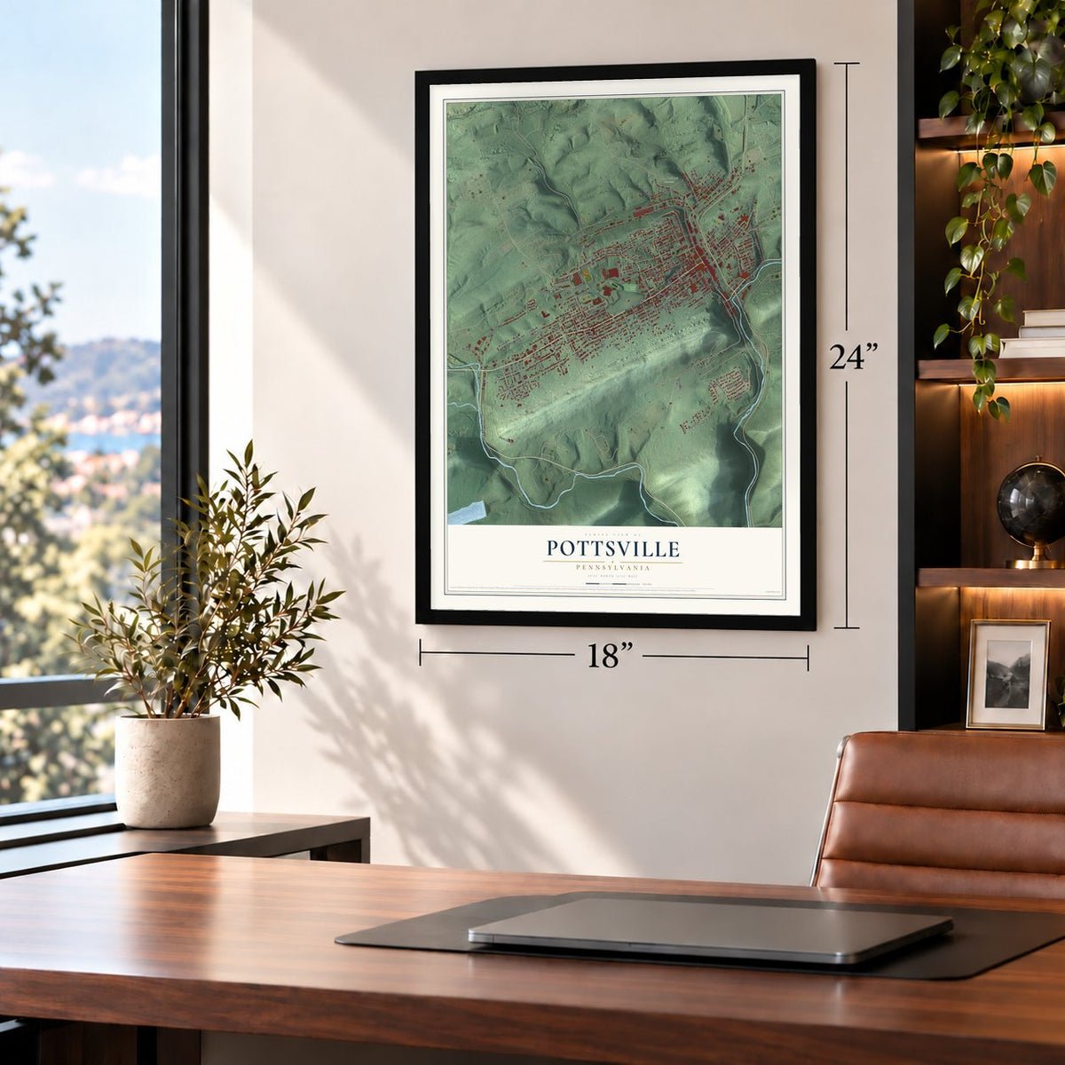
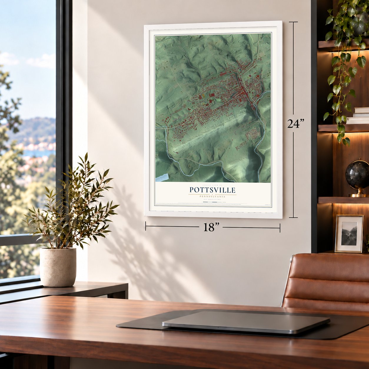
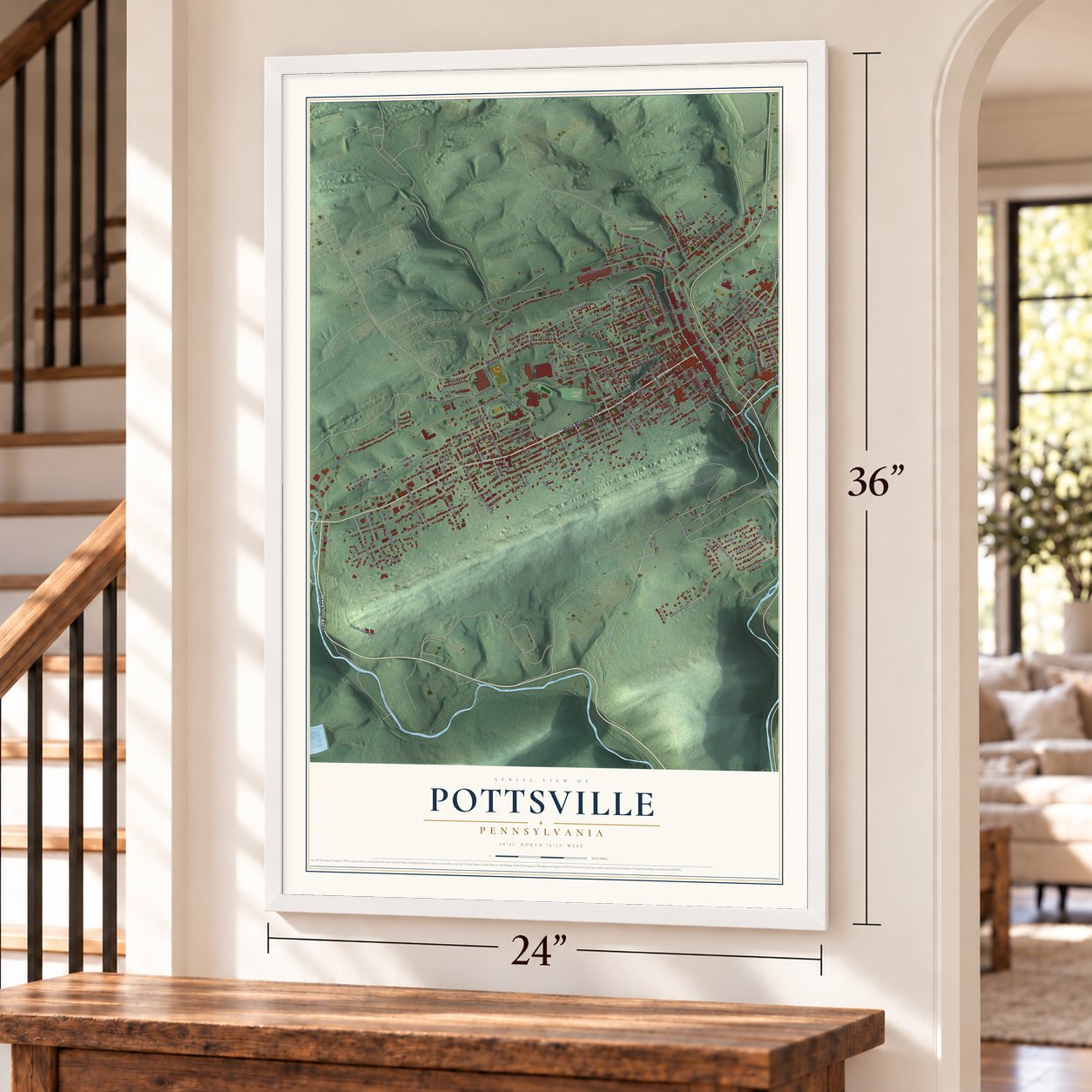
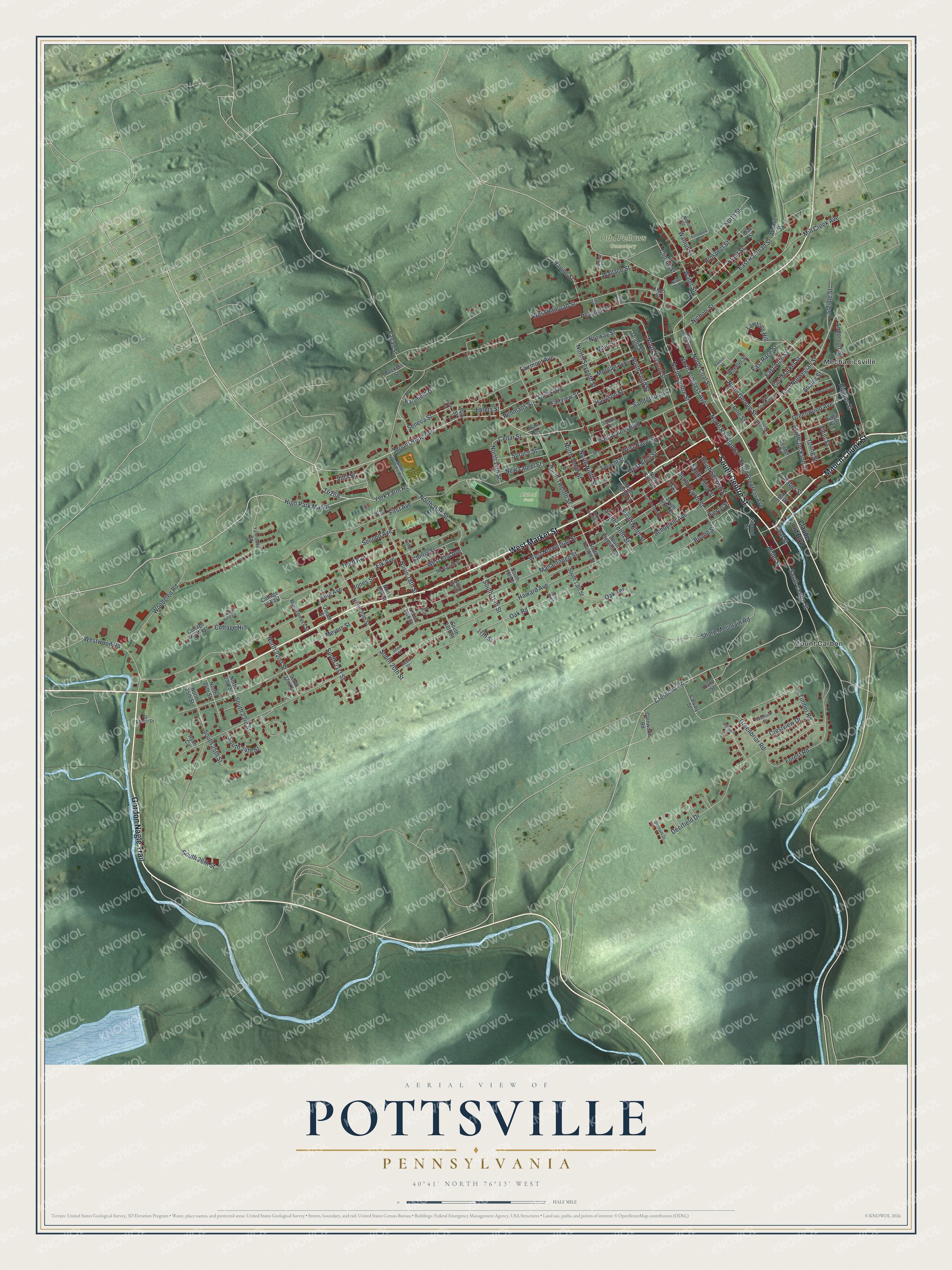
Explore Pottsville, Pennsylvania from a whole new perspective. Created using aerial imagery and detailed geographic data, this map captures Pottsville building by building, with labeled streets, familiar landmarks, and shaded topographical relief that highlights the natural contours of the landscape.
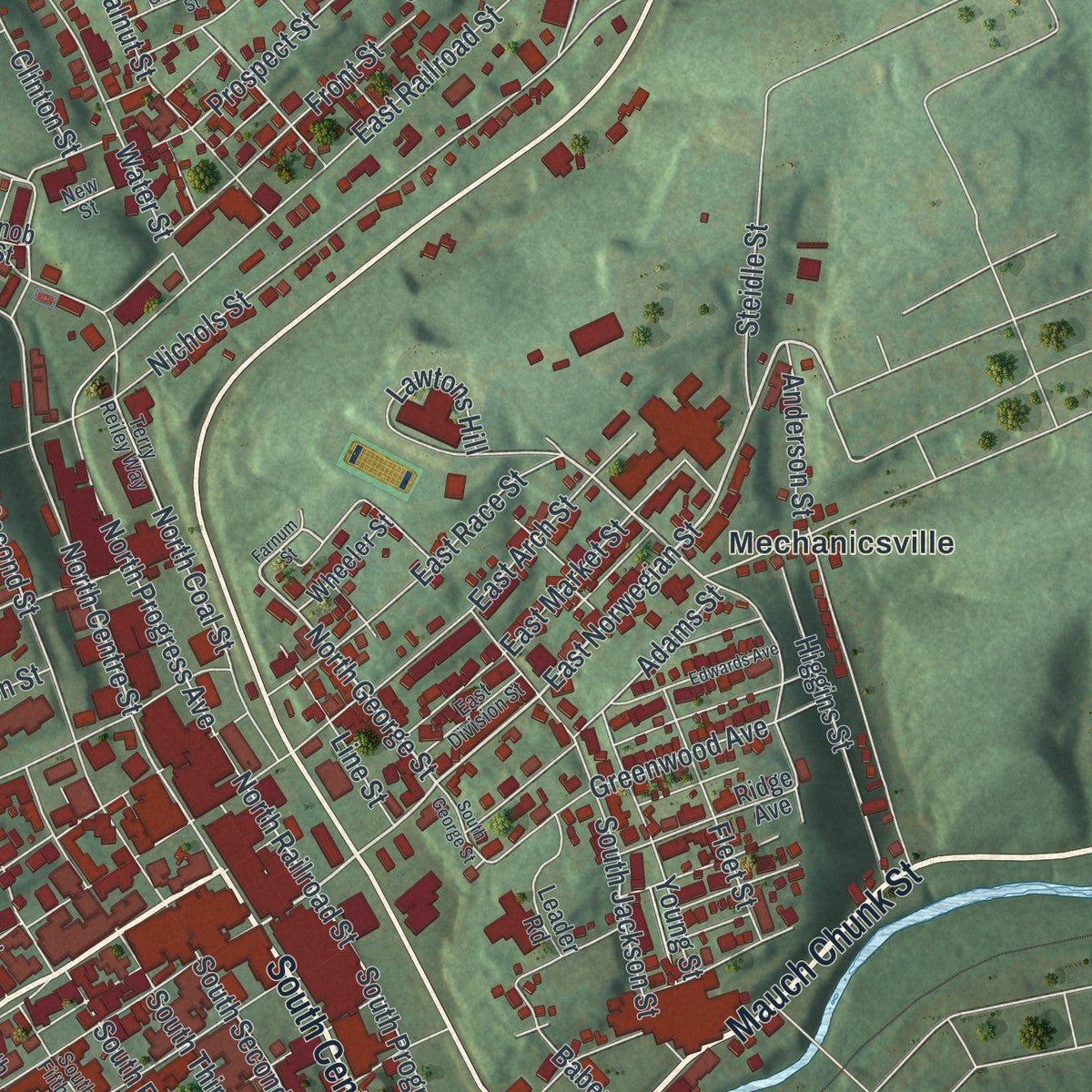
Combining modern data with the timeless character of a vintage atlas, this map is just as interesting up close as it is beautiful on the wall. Whether you grew up in Pottsville, spent memorable years there, or call it home today, this unique map is a great way to celebrate a place that means something to you. Zoom in on the preview to look for your street, and then order a print to put your memories on the wall.
Three ways to hang it
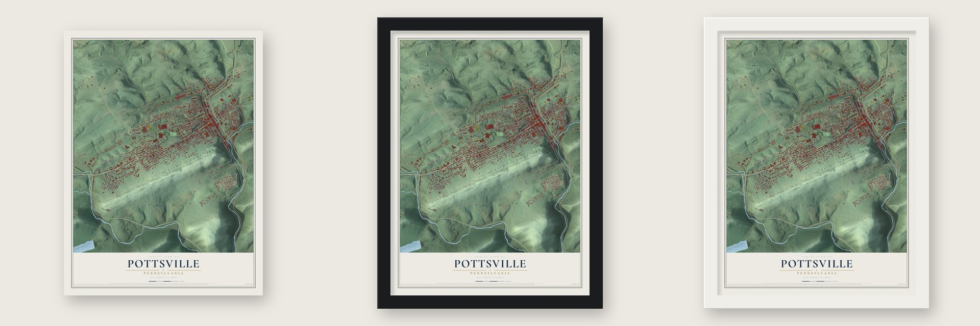
Unframed archival matte, a black wood frame or a white wood frame.
Up close
Geography Worth Displaying
This map was created using accurate cartographic data and authoritative geographic sources, including the U.S. Geological Survey and the Census Bureau. The map brings together terrain, waterways, roads, and building detail. The majority of the streets are labeled, houses are accurately depicted, and the topography is derived from government sources. Combining local data with carefully composed color and shading leads to this beautifully detailed Pottsville artwork for your wall.
Rather than simply showing street outlines, we’ve included as many of the street names as we could reasonably fit on the map while keeping their names legible. Zoom in on the high resolution preview to see exactly what’s on the map. We truly set out to create a statement piece for anyone who loves Pottsville. So whether it’s for you, or a gift for someone you love, we hope this map of Pottsville brings back fond memories.
Read the story behind this map of Pottsville, Pennsylvania from 2026.

Find your street
Names on the Pottsville map
Every name below is printed on this map. Look for your street, your school, the park where you played, or the pond down the road.
Places and landmarks5
- Odd Fellows Cemetery
- Alumni Field
- Rotary Park
- Mechanicsville
- Mount Carbon
Streets and roads183
- Mauch Chunk Street
- South Centre Street
- Gordon Nagle Trail
- West Market Street
- Mount Hope Avenue
- York Farm Road
- High Park Manor
- East Norwegian Street
- North George Street
- South Second Street
- Hotel Street
- Greenbriar Road
- South 16th Street
- Line Street
- South Tenth Street
- Cedar Street
- North Centre Street
- Schuylkill Avenue
- West Arch Street
- North Tenth Street
- Cressona Road
- Dunn Street
- Mahantongo Street
- West Norwegian Street
- Howard Avenue
- West End Avenue
- Peacock Street
- Sharp Mountain Road
- West Laurel Boulevard
- West Railroad Street
Show all 183 streets
- North Second Street
- North 16th Street
- Elk Avenue
- Woodglen Road
- Seneca Street
- Nichols Street
- Deerfield Drive
- Oak Road
- South 26th Street
- East Railroad Street
- First Avenue
- Harrison Street
- North Seventh Street
- West Race Street
- North Progress Avenue
- East Arch Street
- North Third Street
- Fairview Street
- North Coal Street
- North Railroad Street
- Wallace Street
- North 18th Street
- Third Avenue
- Forest Road
- North Twelfth Street
- North Street
- East Market Street
- East Race Street
- Front Street
- Meyers Street
- Main Street
- North Ninth Street
- South Jackson Street
- Spruce Street
- Greenwood Avenue
- Davis Avenue
- Westwood Road
- Anderson Street
- Young Street
- Prospect Street
- Adams Street
- Pierce Street
- Steidle Street
- Water Street
- Lawtons Hill
- Higgins Street
- South 20th Street
- Walnut Street
- South Fourth Street
- Ehlers Street
- South Progress Avenue
- South 25th Street
- Mill Creek Avenue
- South 24th Street
- Sanderson Street
- Fleet Street
- Timber Road
- Villa Street
- Fairmont Avenue
- Ravine Street
- Jones Street
- North 14th Street
- Crestview Drive
- King Avenue
- Norway Street
- Boone Street
- Eagan Street
- Cherry Street
- Cottage Hill
- Morgan Avenue
- New Laurel Street
- Second Avenue
- South 23rd Street
- South 21st Street
- North 22nd Street
- Baber Street
- Oak Terrace
- South Ninth Street
- South Third Street
- Clinton Street
- Barefield Drive
- Rehmans Street
- 17th Street
- Coal Street
- Claude Lord Boulevard
- North Eighth Street
- South Eleventh Street
- South 13th Street
- North 20th Street
- South Sixth Street
- North 19th Street
- South 15th Street
- Glenworth Road
- Speacht Street
- Ridge Avenue
- North 23rd Street
- North Sixth Street
- Queen Street
- Montgomery Street
- Leader Road
- Stein Street
- Beckers Street
- Oak Street
- Cottage Hill West
- South 18th Street
- Calvary Street
- South Twelfth Street
- Cottage Hl East
- Wheeler Street
- Dana Street
- South 22nd Street
- North 24th Street
- North 25th Street
- Second Street
- Atlantic Street
- South 19th Street
- Court Terrace
- Knob Street
- 14th Street
- Ryon Circle
- 18 Street
- Mc Barron Street
- Walter Griffiths Avenue
- Overlook Drive
- Terry Reiley Way
- Ag Center Drive
- Fisher Street
- East Division Street
- Yorktowne Road
- Nepolt Street
- South Fifth Street
- Durham Drive
- Short Street
- New Street
- Rock Street
- North 17th Street
- Laurel Terrace
- Fox Street
- Farnum Street
- Highland Drive
- Mine Street
- South 14th Street
- Edwards Avenue
- South Seventh Street
- Cottage Hill East
- Greenview Street
- Pughs Street
- Clarence Avenue
- North Eleventh Street
- South George Street
- Vine Street
- Heffner Street
- Picus Street
Names are listed as they appear on the printed map. Zoom into the product photos to find them.
About Pottsville, Pennsylvania
Pottsville is a city of 13,346 people and the county seat of Schuylkill County, on the west bank of the Schuylkill River in Pennsylvania's Coal Region. Its coal story began in 1790, when the hunter Necho Allen found a seam of anthracite here. Legend says he dozed off at the foot of Broad Mountain and woke to see that his campfire had set an outcrop of coal ablaze.
By 1795 a forge burning anthracite stood on the river, and John Pott, the town's founder, bought it in 1806. The surveyor Henry Donnell laid out the town in 1816, and it became a village in Norwegian Township in 1819. Pottsville was incorporated as a borough on February 19, 1828, took the county seat from Orwigsburg in 1851, and became a third-class city on March 22, 1911.
- America's oldest breweryD. G. Yuengling & Son began brewing in Pottsville in 1829, and today no brewery in the United States is older. During Prohibition it turned to near beer, and Frank Yuengling opened a dairy making ice cream to keep the business alive. After repeal the brewery shipped a truckload of Winner Beer to President Franklin D. Roosevelt at the White House in 1933 in thanks. Its brewing complex joined the National Register in 1985.
- Shirts from a pushcartIn 1881 Moses and Endel Phillips sewed shirts by hand and sold them from pushcarts to coal miners in Pottsville. Their work grew into the Phillips Van Heusen company, part of a textile trade that rose along the Schuylkill. Van Heusen and other textile firms began leaving the region in the late 1970s, mostly because of foreign competition.
- The lost 1925 titleThe Pottsville Maroons played in the National Football League from 1925 to 1928, at Sportsman's Park in nearby Minersville. They had some of the league's best records in 1925 and 1926 and claimed the 1925 championship, but NFL President Joe Carr handed the title to the Chicago Cardinals in a disputed ruling. After two losing seasons the team moved to Boston as the Bulldogs, who folded in 1929.
- John O'Hara's homeThe writer John O'Hara was born in Pottsville in 1905. From 1916 to 1928 his family's home was 606 Mahantongo Street. He set several of his major works in the coal region around the city, and his house joined the National Register in 1978.
- A rock layer named PottsvilleThe Pottsville Formation, a band of coal, sandstone and coarse conglomerate running along the Appalachians from Alabama to New York, takes its name from the city. Its type section is a Pennsylvania Railroad cut through Sharp Mountain, just south of town.
Keep exploring Pennsylvania
Pottsville is one of 3,725 Pennsylvania towns we've mapped. Every dot on the map is a print of its own.
The search covers every state, Pennsylvania first.
Near Pottsville
Order 2 or more town maps and save 10%. Shown in the size and finish you picked above, so they hang as a set.
- Norwegian 12" x 18" / Archival Matte Print $39.99
- Mount Carbon 12" x 18" / Archival Matte Print $39.99
- Mechanicsville 12" x 18" / Archival Matte Print $39.99
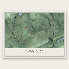
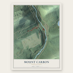
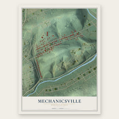
More maps nearby: Seltzer, Marlin, Palo Alto, North Manheim and Port Carbon.
The art of mapping a place
How This Map Was Made
Real places. Remarkable detail. Discover the layers that turn geographic data into a map of home.

The view from above
Aerial imagery reveals the character of the land: woodland, open fields, and the patterns of a place.

The shape of the land
Elevation data brings hills, valleys, and subtle changes in the landscape into view.

The details of home
Roads, waterways, and building footprints come together to make the map feel unmistakably local.

Geography becomes art
Considered color, shading, and typography bring the layers together in a map made for your wall.


Process illustrated with Mendon, Massachusetts. Aerial imagery: USDA NAIP. Terrain: USGS 3D Elevation Program. Map details and finished artwork: KNOWOL.
The Details
About This Print
Choose an archival matte print, or a black or white Ayous wood frame. The archival matte print is unframed.
Select your size and finish above to see the matching product image and price.
Materials & Craftsmanship
A contemporary map with the character of a classic atlas, printed on archival matte paper. Optional frames are made from Ayous wood.
Your printed map does not include the watermark shown in the full-map preview.
Shipping & Delivery
Free shipping within the United States. Every print is made to order in the USA.
Buying a gift? Add a note in your cart and we'll include it. We never put prices in the package.
Prints ship within 2 to 3 business days. Allow 7 to 10 days total from ordering for delivery. Timing may vary during holidays or periods of high order volume.
Read our shipping policy.
Returns and damaged prints
Each print is made to order. Change-of-mind refunds are not available after production.
If your print arrives damaged, misprinted or incorrect, contact support@knowol.com within 30 days of receiving it. Include your order number, photos and a description of the issue.
Read our full refund and replacement policy. For questions about your order, email support@knowol.com.