
Search for another town





Free U.S. delivery 7 to 10 days after you order
Pullman, Washington Map Art
A new map of Pullman, Washington, made in 2026 and printed to order on thick archival matte paper.
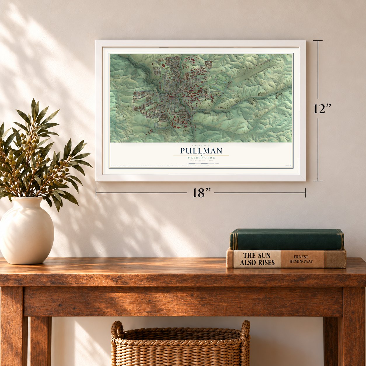
12" x 18" Archival Matte Print
A Map of Home. A Work of Art.
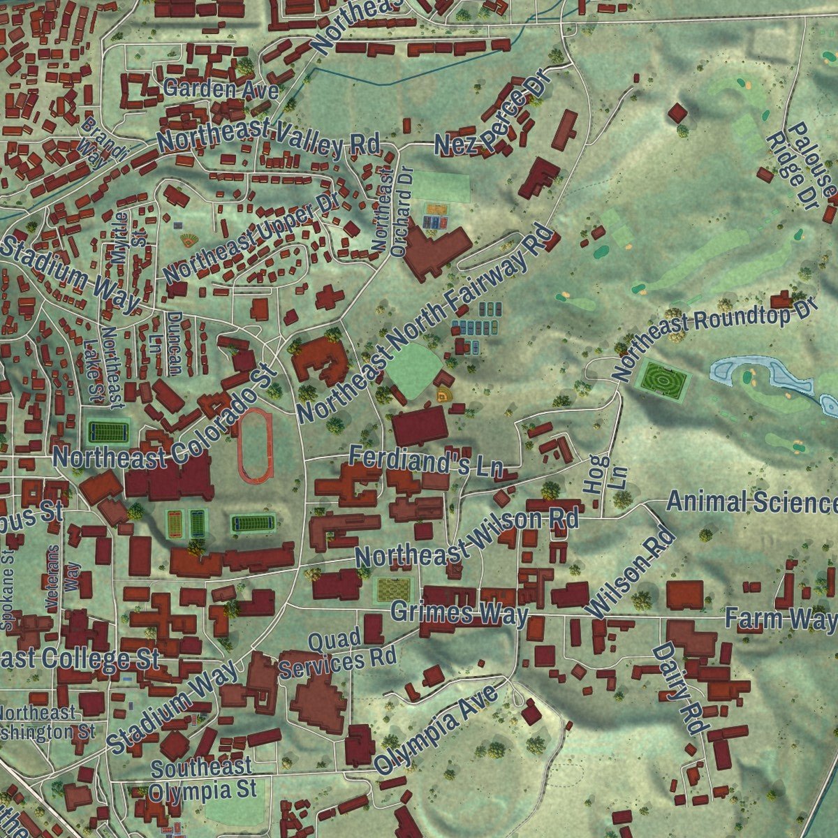
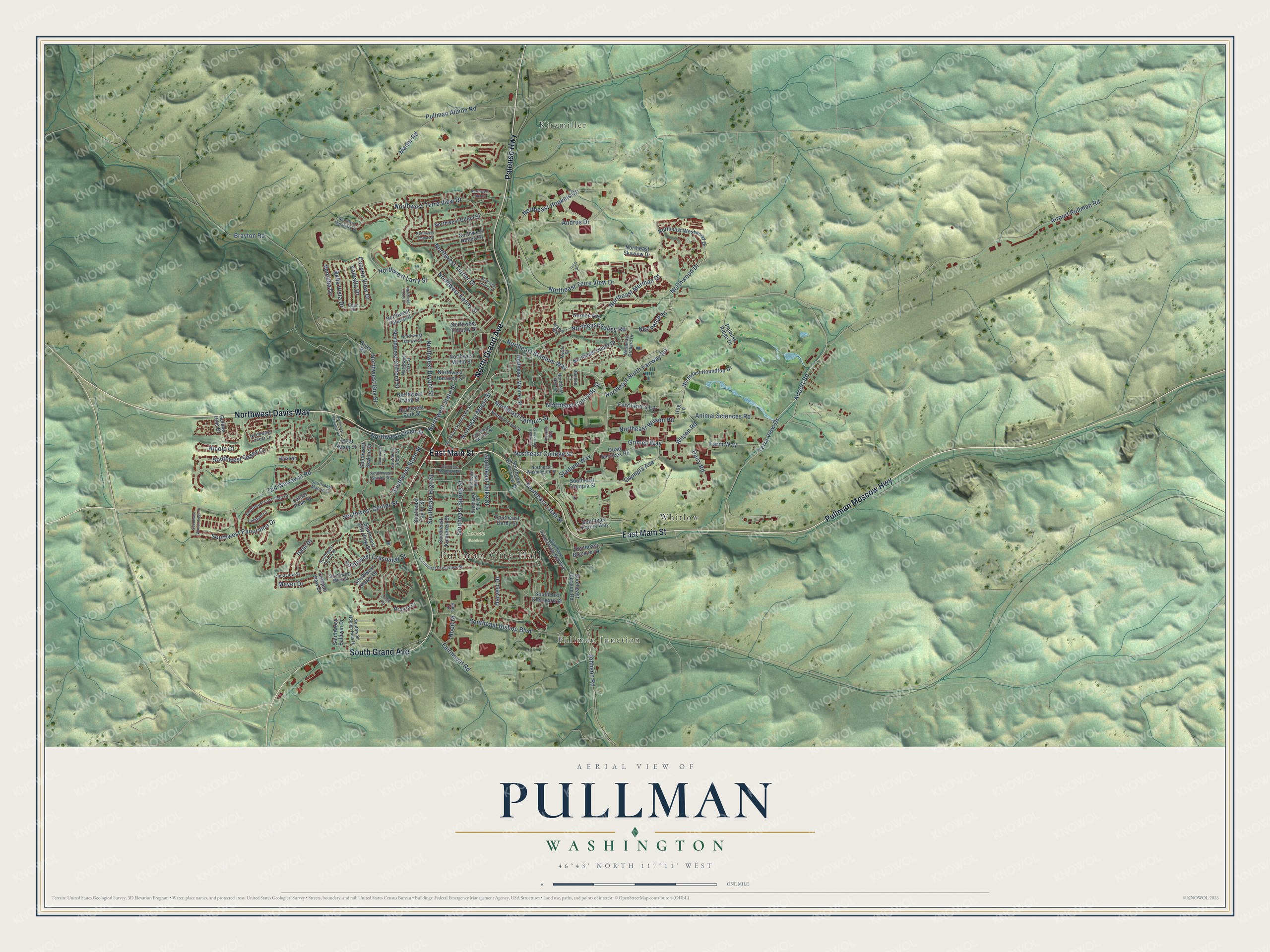
Explore Pullman, Washington from a whole new perspective. Created using aerial imagery and detailed geographic data, this map captures Pullman building by building, with labeled streets, familiar landmarks, and shaded topographical relief that highlights the natural contours of the landscape.
Combining modern data with the timeless character of a vintage atlas, this map is just as interesting up close as it is beautiful on the wall. Whether you grew up in Pullman, spent memorable years there, or call it home today, this unique map is a great way to celebrate a place that means something to you. Zoom in on the preview to look for your street, and then order a print to put your memories on the wall.
Three ways to hang it
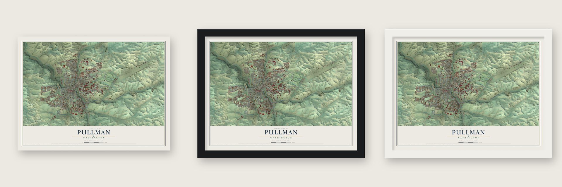
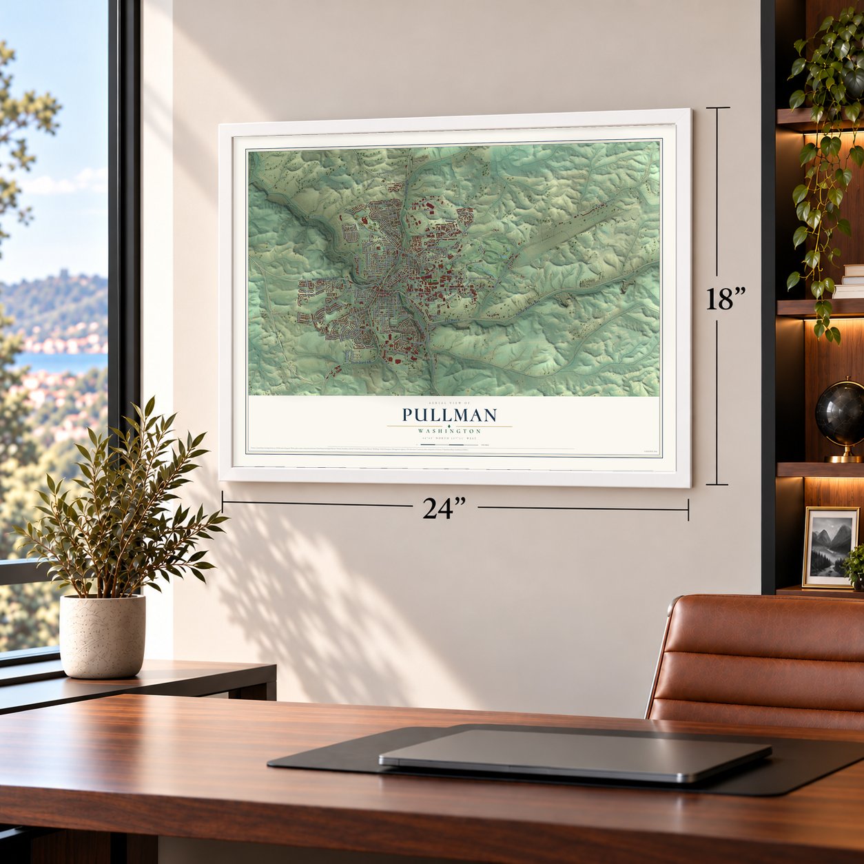
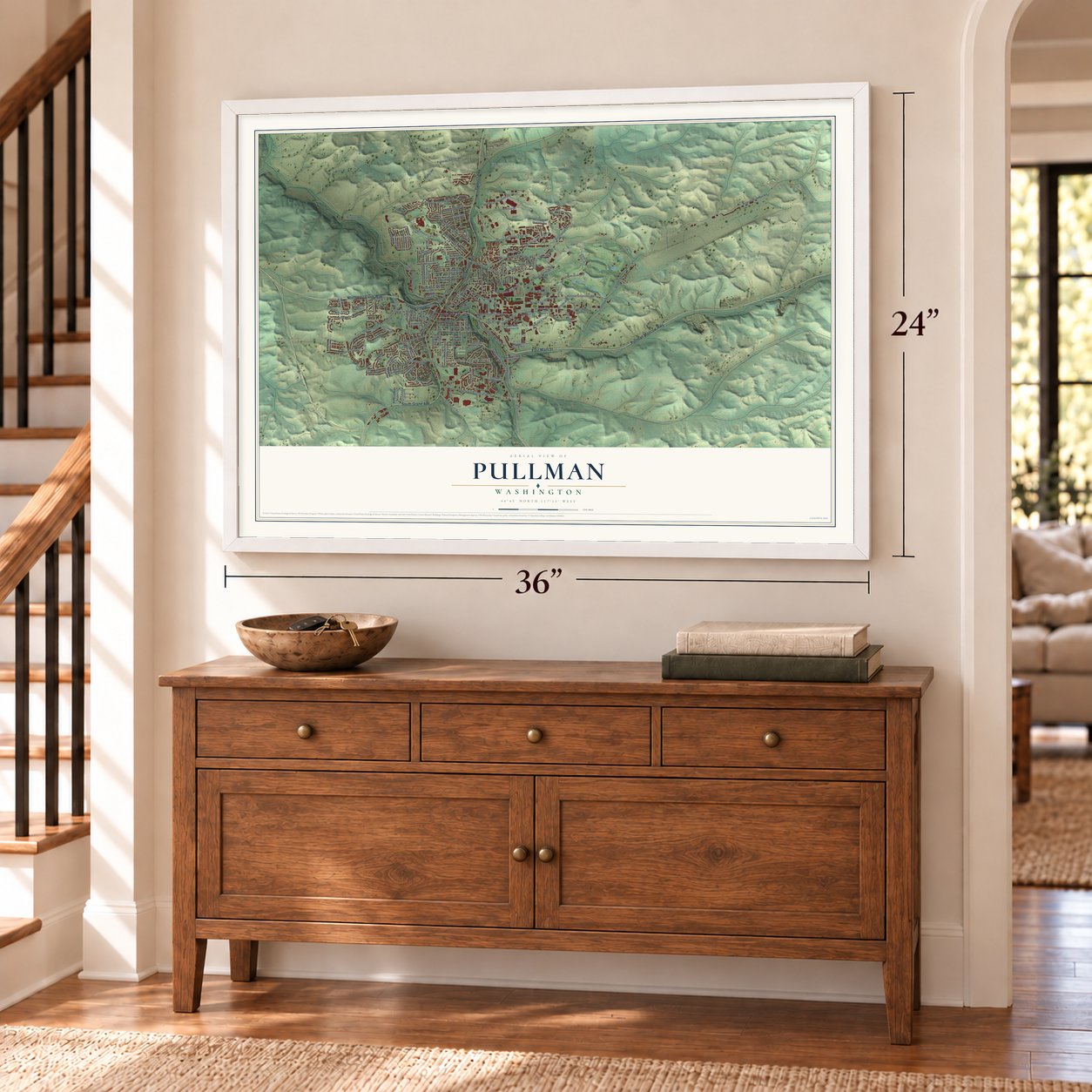
Unframed archival matte, a black wood frame or a white wood frame.
Up close
Geography Worth Displaying
This map was created using accurate cartographic data and authoritative geographic sources, including the U.S. Geological Survey and the Census Bureau. The map brings together terrain, waterways, roads, and building detail. The majority of the streets are labeled, houses are accurately depicted, and the topography is derived from government sources. Combining local data with carefully composed color and shading leads to this beautifully detailed Pullman artwork for your wall.
Rather than simply showing street outlines, we’ve included as many of the street names as we could reasonably fit on the map while keeping their names legible. Zoom in on the high resolution preview to see exactly what’s on the map. We truly set out to create a statement piece for anyone who loves Pullman. So whether it’s for you, or a gift for someone you love, we hope this map of Pullman brings back fond memories.
Read the story behind this map of Pullman, Washington from 2026.

About Pullman, Washington
Pullman is a city of 32,901 people in Whitman County, where the South Fork of the Palouse River meets Missouri Flat Creek and Dry Creek. Upper Palouse and Nez Perce people stopped here with their herds of horses long before settlers came. Dan G. McKenzie and Bolin Farr most likely both took up land on the site in 1877, with McKenzie arriving first that September. People called the spot Three Forks for its streams, but no village by that name ever existed. In June 1881 Orville Stewart set up a post office inside his own store. He called it Pullman and paid its costs himself to draw customers.
Farmers here grew strong crops but paid high rates to ship them from landings on the Snake River. The Columbia and Palouse Railway promised a line in 1883, and after long delays its first train arrived in 1885. The Northern Pacific's branch line followed in 1887, and Pullman was incorporated on April 11, 1888. In 1890 the legislature created a land grant college without choosing a site, so Pullman offered 160 acres. A commission picked the town on April 18, 1891.
“George Pullman had nothing to do with the town in 1881 or at any other time.”
- The $50 legendLocal histories long said Bolin Farr was a friend of George Pullman, the Chicago railcar maker, and that Pullman sent $50 for the Fourth of July in 1881, so grateful residents named the town for him. The records tell a different story. George Pullman's closest tie to the town was a seat on the board of the Oregon Railway & Navigation Company, parent of the town's first railroad.
- A college of 59 studentsThe new school opened on January 13, 1892, with 59 students, as Washington Agricultural College and School of Science. It became the State College of Washington in 1905 and Washington State University in 1959. Today it employs more people than any other employer in Pullman or in Whitman County, while Idaho put its own land grant college in Moscow, eight miles away.
- Military Hill's lost collegePullman spreads across four hills: Military, Pioneer, Sunnyside and College. Military Hill takes its name from the Pullman Military College, which opened in 1891 and burned down in 1893. Pullman High School, home of the Greyhounds, now stands on that hill.
- Lentil Festival since 1989The Palouse hills around Pullman are among the country's leading growers of lentils, split peas and wheat. Since 1989 the town has held the National Lentil Festival each August at Reaney Park, on the weekend just before WSU's fall classes begin. It brings a lentil cook-off, a Friday night street fair, a Saturday parade and music in the park.
Find your street
Names on the Pullman map
Every name below is printed on this map. Look for your street, your school, the park where you played, or the pond down the road.
Places and landmarks5
- Pullman City Hall
- Pullman Junction
- Lawson Gardens
- Kitzmiller
- Whitlow
Streets and roads142
- East Main Street
- Pullman Moscow Highway
- North Grand Avenue
- Northwest Davis Way
- South Grand Avenue
- Palouse Highway
- Terre View Drive
- Northeast Colorado Street
- Nez Perce Drive
- Northeast Maple Street
- Northeast Terre View Drive
- Southeast Spring Street
- Northeast Stadium Way
- Stadium Way
- Southwest Crestview Street
- Northwood Drive
- Bella Vista Drive
- Northeast Valley Road
- Northwest Guy Street
- Olympia Avenue
- Southwest Center Street
- Northwest State Street
- Ferdiand's Lane
- Airport Pullman Road
- Southeast Bishop Boulevard
- Old Wawawai Road
- Northwest Larry Street
- Northwest Terre View Drive
- Brayton Road
- Farm Way
Show all 142 streets
- Grimes Way
- Northeast Merman Drive
- Pullman Albion Road
- Southwest Panorama Drive
- Northeast Wilson Road
- Wilson Road
- Northeast North Fairway Road
- Northwest Turner Drive
- Southwest State Street
- Airport Road
- Northeast Hopkins Court
- Southeast High Street
- Northwest Olsen Street
- Animal Sciences Road
- Southwest Casey Court
- Northeast College Street
- Northwest Clifford Street
- Southeast Dilke Street
- Northwest Kenny Street
- Northeast Campus Street
- Fairmount Road
- Andrus Drive
- Southeast Latah Street
- Northwest Bryant Street
- Canyon View Drive
- Mader Road
- Harvest Drive
- Itani Drive
- Valhalla Drive
- Ventuba Drive
- Meyer Drive
- Dairy Road
- Johnson Road
- Nicole Court
- Hood Drive
- Southeast Riverview Street
- River Road
- Southeast Olympia Street
- Southeast Forest Way
- Southeast Derby Street
- Northwest Robert Street
- Northeast Monroe Street
- West Main Street
- Southeast Johnson Road
- Southeast Kamiaken Street
- Northwest Harrison Street
- Northwest Park Street
- Northeast Westwood Drive
- Northwest Irving Street
- Quad Services Road
- Northwest Webb Street
- Southwest City View Street
- Northeast Roundtop Drive
- Southwest Skyline Drive
- Garden Avenue
- Northeast Upper Drive
- Southwest Staley Drive
- Palouse Ridge Drive
- Northwest Dillon Street
- Northeast Skyview Drive
- Southeast Klemgard Street
- Golden Hills Drive
- Southeast Taylor Street
- Southwest Baldwin Drive
- Northwest Polaris Street
- Latour Peak Street
- Southeast Bleasner Drive
- Northwest Timothy Street
- Hannah
- Prairie Court
- Campus View Drive
- Hog Lane
- Northeast Orchard Drive
- Brandi Way
- Southeast Crestview Street
- Northeast Kamiaken Street
- Eden Drive
- Southwest Shirley Street
- Southwest Lost Trail Drive
- Northwest Lancer Lane
- Southwest Marcia Drive
- Southwest Mies Street
- Southwest Golden Hills Drive
- Southeast Professional Mall Boulevard
- Northwest Fisk Street
- Northwest Darrow Street
- Northeast Oak Street
- Northeast Lake Street
- Northeast Washington Street
- Southwest Alcora Drive
- Crestview Street
- Lehman Court
- Northeast Morton Street
- Southwest Arbor Street
- Southeast Side Street
- Myrtle Street
- Southeast Hill Street
- King Drive
- Duncan Lane
- Northwest Thomas Street
- Southeast McKenzie Street
- Northwest Leland Street
- Northwest Emily Street
- Northwest Wawawai Road
- Northwest Marshland Street
- Northeast Spokane Street
- Southwest Wheat Ridge Drive
- Northwest Clay Court
- Veterans Way
- Jones Road
- Southwest Elm Street
- Tesla Street
Names are listed as they appear on the printed map. Zoom into the product photos to find them.
The art of mapping a place
How This Map Was Made
Real places. Remarkable detail. Discover the layers that turn geographic data into a map of home.

The view from above
Aerial imagery reveals the character of the land: woodland, open fields, and the patterns of a place.

The shape of the land
Elevation data brings hills, valleys, and subtle changes in the landscape into view.

The details of home
Roads, waterways, and building footprints come together to make the map feel unmistakably local.

Geography becomes art
Considered color, shading, and typography bring the layers together in a map made for your wall.


Process illustrated with Mendon, Massachusetts. Aerial imagery: USDA NAIP. Terrain: USGS 3D Elevation Program. Map details and finished artwork: KNOWOL.
The Details
About This Print
Choose an archival matte print, or a black or white Ayous wood frame. The archival matte print is unframed.
Select your size and finish above to see the matching product image and price.
Materials & Craftsmanship
A contemporary map with the character of a classic atlas, printed on archival matte paper. Optional frames are made from Ayous wood.
Your printed map does not include the watermark shown in the full-map preview.
Shipping & Delivery
Free shipping within the United States. Every print is made to order in the USA.
Buying a gift? Add a note in your cart and we'll include it. We never put prices in the package.
Prints ship within 2 to 3 business days. Allow 7 to 10 days total from ordering for delivery. Timing may vary during holidays or periods of high order volume.
Read our shipping policy.
Returns and damaged prints
Each print is made to order. Change-of-mind refunds are not available after production.
If your print arrives damaged, misprinted or incorrect, contact support@knowol.com within 30 days of receiving it. Include your order number, photos and a description of the issue.
Read our full refund and replacement policy. For questions about your order, email support@knowol.com.
Find your town
Looking for another city?
Find a map of home in our Washington collection, or any town in the country.
Nearby
Maps of towns near Pullman
Know someone from one of these towns? Their map makes a great gift.
 Albion
, Washington
From $39.99See the map
 Colton
, Washington
From $39.99See the map
 Palouse
, Washington
From $39.99See the map
More maps nearby: Uniontown, Colfax, Garfield, Steptoe and Clarkston.