
Search for another town



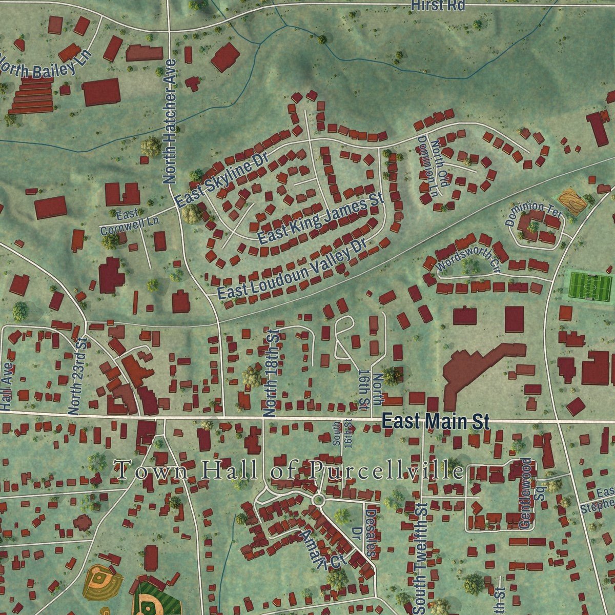
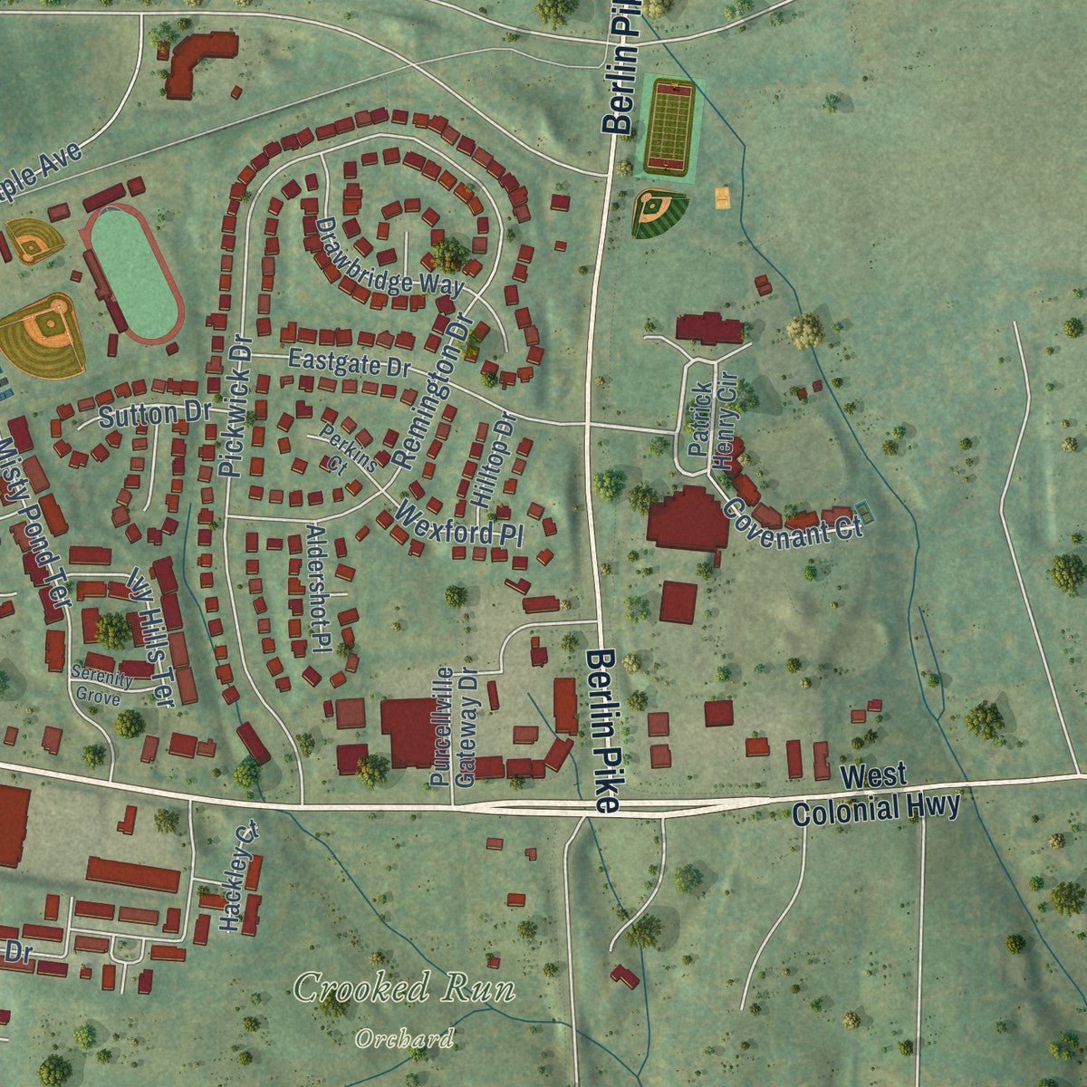
Free U.S. delivery 7 to 10 days after you order
Purcellville, Virginia Map Art
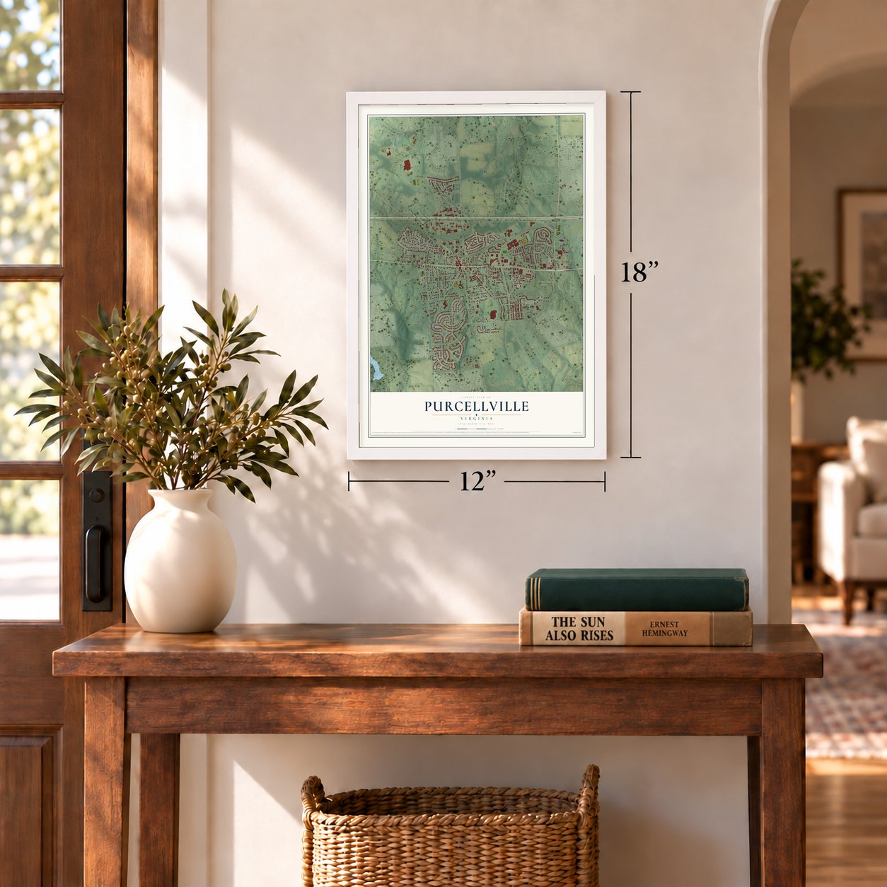
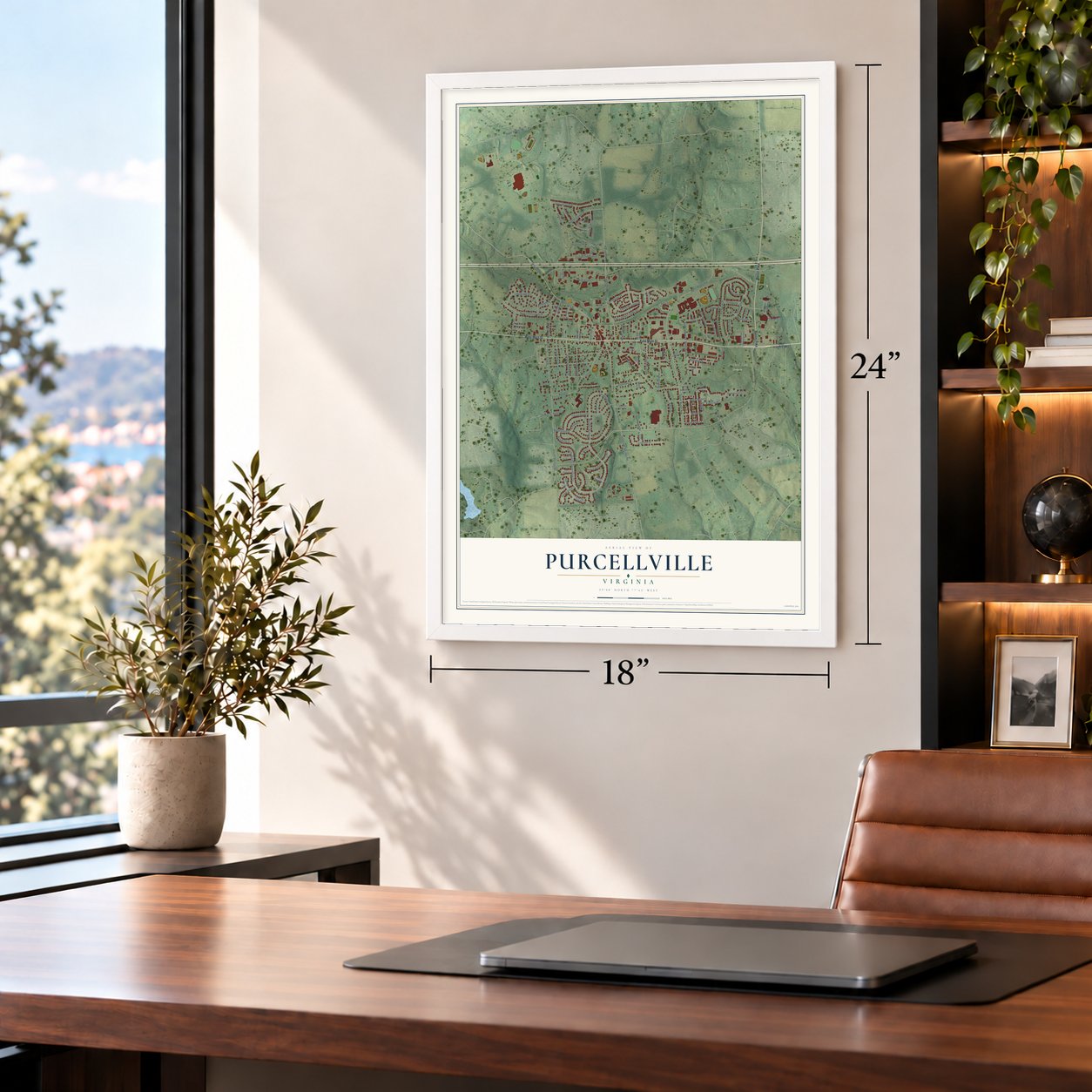
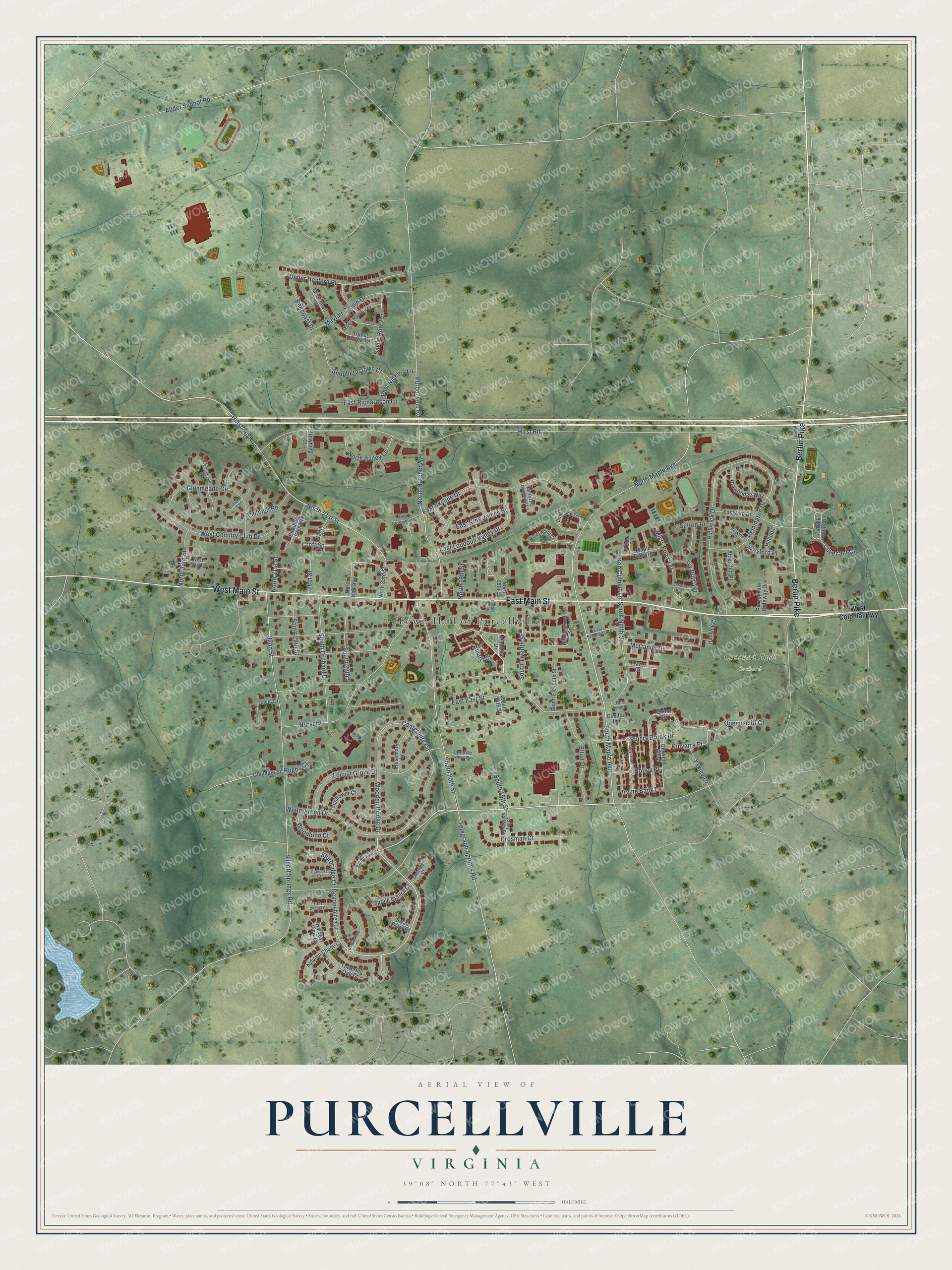
A new map of Purcellville, Virginia, made in 2026 and printed to order on thick archival matte paper.
12" x 18" Archival Matte Print
A Map of Home. A Work of Art.
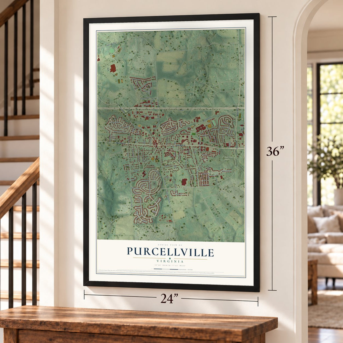
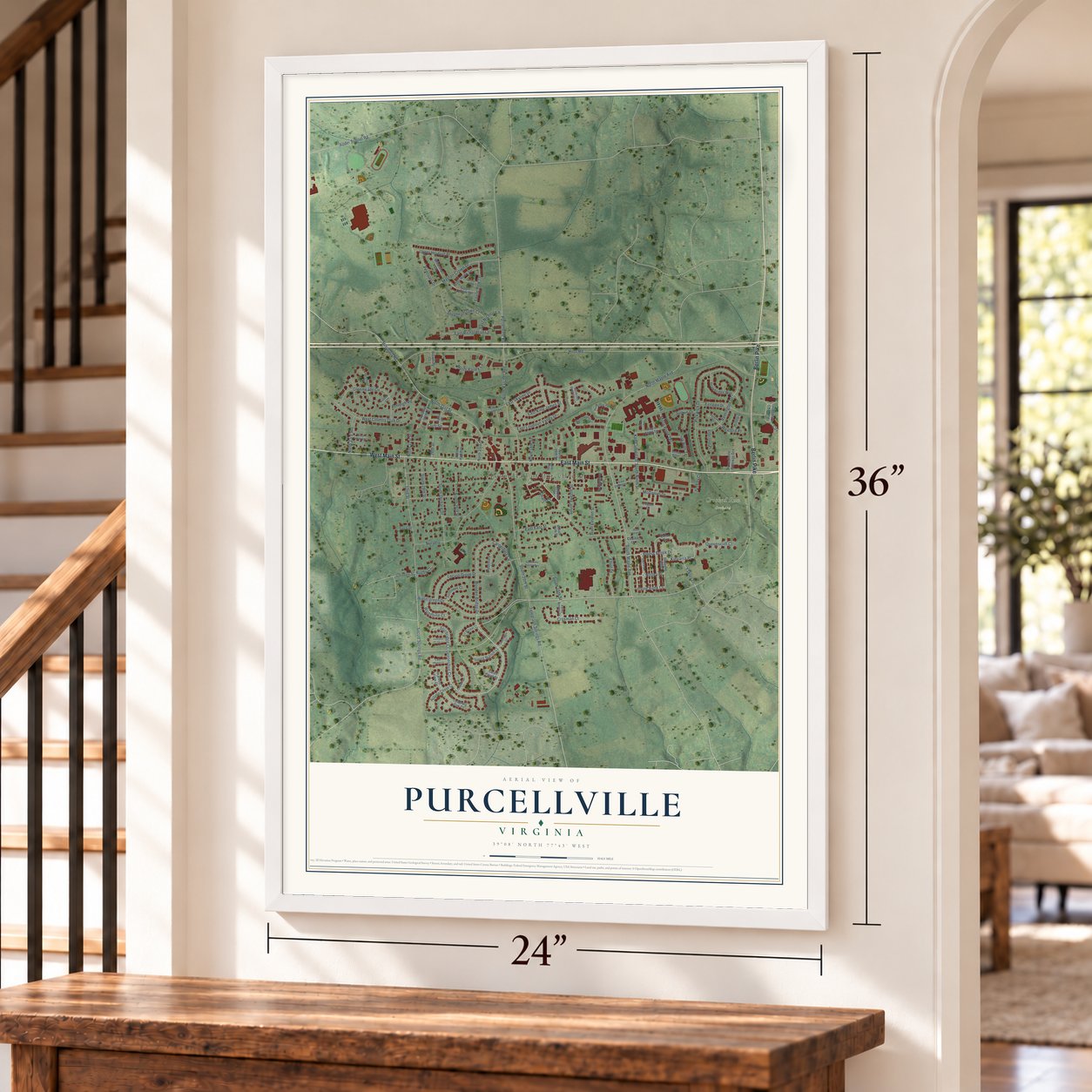
Explore Purcellville, Virginia from a whole new perspective. Created using aerial imagery and detailed geographic data, this map captures Purcellville building by building, with labeled streets, familiar landmarks, and shaded topographical relief that highlights the natural contours of the landscape.
Combining modern data with the timeless character of a vintage atlas, this map is just as interesting up close as it is beautiful on the wall. Whether you grew up in Purcellville, spent memorable years there, or call it home today, this unique map is a great way to celebrate a place that means something to you. Zoom in on the preview to look for your street, and then order a print to put your memories on the wall.
Three ways to hang it
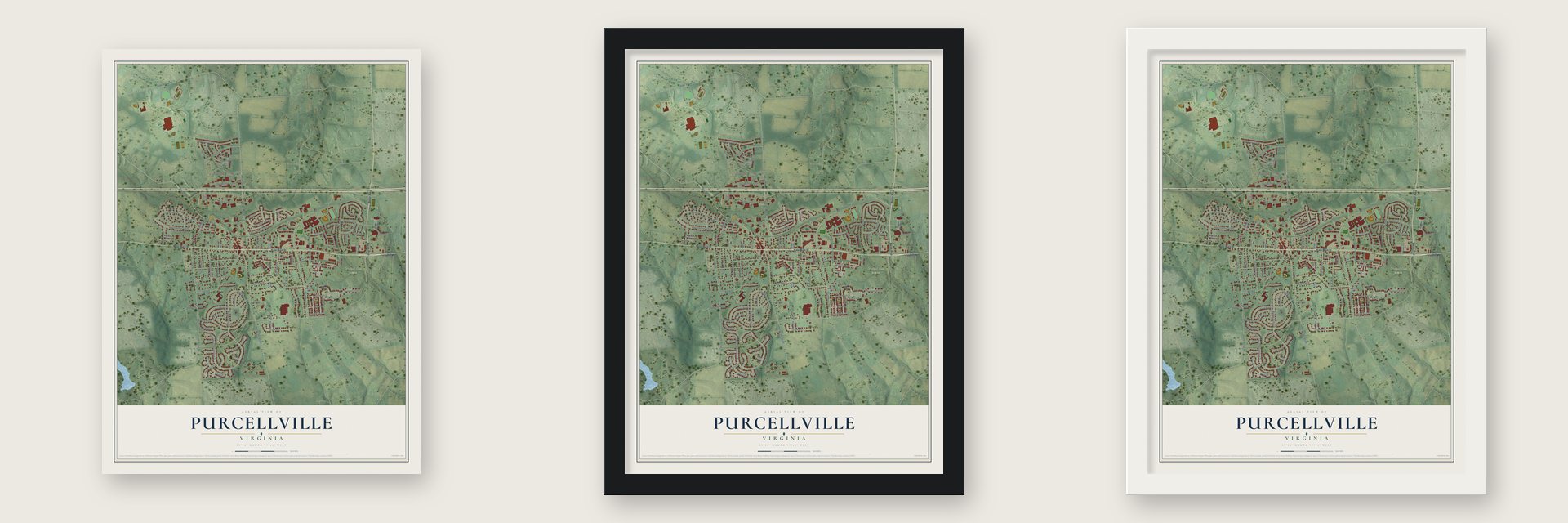
Unframed archival matte, a black wood frame or a white wood frame.
Up close
Geography Worth Displaying
This map was created using accurate cartographic data and authoritative geographic sources, including the U.S. Geological Survey and the Census Bureau. The map brings together terrain, waterways, roads, and building detail. The majority of the streets are labeled, houses are accurately depicted, and the topography is derived from government sources. Combining local data with carefully composed color and shading leads to this beautifully detailed Purcellville artwork for your wall.
Rather than simply showing street outlines, we’ve included as many of the street names as we could reasonably fit on the map while keeping their names legible. Zoom in on the high resolution preview to see exactly what’s on the map. We truly set out to create a statement piece for anyone who loves Purcellville. So whether it’s for you, or a gift for someone you love, we hope this map of Purcellville brings back fond memories.
Read the story behind this map of Purcellville, Virginia from 2026.

About Purcellville, Virginia
Purcellville is a town of 8,929 people in Loudoun County, in the Loudoun Valley about nine miles west of Leesburg. Lord Fairfax issued the first land grant here in 1740, but the first known settler, James Dillon of Bucks County, Pennsylvania, didn't come until 1764. The village grew up along an ox cart track that ran west from Leesburg toward the Blue Ridge and was later called the Great Road.
Abraham Vickers opened the first recorded business, an ordinary that served as both store and inn, in 1799, and Stacey Taylor opened a second one in 1804. Valentine Vernon Purcell later ran a store and post office, and on July 9, 1853, the village took the name Purcellville in his honor. The railroad reached town in 1874, so for a year stagecoaches heading west started here instead of Leesburg, until the tracks pushed on to Round Hill in 1875. The General Assembly incorporated the town on March 14, 1908.
“More than 1,000 people attended the annual Emancipation Day activities held here until 1967.”
- Raided in 1864Union and Confederate armies both marched through Purcellville during the Civil War, though the only real fighting nearby was a skirmish at Heaton's Crossroads. The town sat inside Mosby's Confederacy, where the partisan John S. Mosby operated, and in 1864 Union troops pillaged it during the Burning Raid to punish local support for his men.
- The station from 1891The Southern Railway built the Purcellville Train Station in 1891. Trains kept running until 1968, when the line shut down. Its old roadbed became the Washington & Old Dominion Railroad Regional Park, a trail that ends at the station on its western edge.
- Rebuilt after the firesA fire in 1900 and two more in 1914 nearly destroyed the business district, taking most of the town's oldest buildings with it. Because Purcellville stood in the middle of the Loudoun Valley and had the railroad, merchants rebuilt, and through the early and mid-20th century it grew into the main farm center of Western Loudoun.
- A library since 1938Clarence and Gertrude Robey founded the Purcellville Public Library in 1938, in a building designed by Delos H. Smith and finished in 1937. When Loudoun County started its public library system in 1973, the Purcellville library and its bookmobile were among the first branches.
Find your street
Names on the Purcellville map
Every name below is printed on this map. Look for your street, your school, the park where you played, or the pond down the road.
Places and landmarks2
- Town Hall of Purcellville
- Crooked Run Orchard
Streets and roads125
- East Main Street
- West Main Street
- Berlin Pike
- Pipers Brook Drive
- Notley Place
- Devonshire Circle
- Wooden Bridge Drive
- South Maple Avenue
- Canterbury Circle
- Hillsboro Road
- Hirst Road
- North 21st Street
- Pickwick Drive
- North Maple Avenue
- South 20th Street
- Wintergreen Drive
- Kinvarra Place
- Nursery
- Locust Grove Drive
- Telegraph Springs Road
- 32nd Street
- North Hatcher Avenue
- East Skyline Drive
- Silcott Springs Road
- South Orchard Drive
- Allder School Road
- Upper Heyford Place
- West Country Club Drive
- Mayfair Crown Drive
- McDaniel Drive
Show all 125 streets
- South Ninth Street
- Glenmeade Circle
- East Loudoun Valley Drive
- Purcellville Road
- Remington Drive
- Crosman Court
- Shepherdstown Court
- Misty Pond Terrace
- East East Street
- South Twelfth Street
- Elliot Drive
- East King James Street
- North Bailey Lane
- East Richardson Lane
- South 26th Street
- North 18th Street
- South 29th Street
- Savile Row Terrace
- Queenscliff Court
- Pencoast Drive
- North 33rd Street
- South 15th Street
- Amalfi Court
- East Nichlos Lane
- Ashleigh Road
- Sturbridge Court
- Ivy Hills Terrace
- Ken Culbert Lane
- Woodbine Court
- Yakley Drive
- Covenant Court
- Irvine Bank Lane
- Sutton Drive
- North 31st Street
- Wexford Place
- 28th Street
- Croft Square
- Rugby Court
- West Colonial Highway
- Desales Drive
- Patrick Henry Circle
- Quinn Circle
- Gentlewood Square
- Eastgate Drive
- Purcellville Gateway Drive
- Drawbridge Way
- Frazer Drive
- Rosemary Lane
- Branbury Glen Court
- Autumn Chase Court
- Miles Hawk Terrace
- South Eleventh Street
- Derwent Alley
- Upper Brook Terrace
- Towering Oak Court
- Maple Flats Terrace
- Spring Branch Court
- Davis Drive
- Mildenhall Court
- Sunflower Court
- North Hall Avenue
- North 23rd Street
- Glendale Street
- Baffin Place
- Aldershot Place
- Harvest View Court
- Hilltop Drive
- Hackley Court
- Browning Court
- South 14th Street
- North 16th Street
- Swan Point Court
- Cecilia Lane
- Wordsworth Circle
- Dominion Terrace
- Valley Springs Drive
- East Stephens Drive
- East Cornwell Lane
- Bill Brower Court
- Overridge Court
- North Old Dominion Lane
- West Holly Lane
- Perkins Court
- Elder Terrace
- Kinloch Court
- Greysands Lane
- Candleridge Court
- Heronwood Court
- Apsley Terrace
- South 16th Street
- East Willie Palmer Way
- Falls Chapel Court
- Gatepost Court
- Serenity Grove
- Little Dylan Lane
Names are listed as they appear on the printed map. Zoom into the product photos to find them.
The art of mapping a place
How This Map Was Made
Real places. Remarkable detail. Discover the layers that turn geographic data into a map of home.

The view from above
Aerial imagery reveals the character of the land: woodland, open fields, and the patterns of a place.

The shape of the land
Elevation data brings hills, valleys, and subtle changes in the landscape into view.

The details of home
Roads, waterways, and building footprints come together to make the map feel unmistakably local.

Geography becomes art
Considered color, shading, and typography bring the layers together in a map made for your wall.


Process illustrated with Mendon, Massachusetts. Aerial imagery: USDA NAIP. Terrain: USGS 3D Elevation Program. Map details and finished artwork: KNOWOL.
The Details
About This Print
Choose an archival matte print, or a black or white Ayous wood frame. The archival matte print is unframed.
Select your size and finish above to see the matching product image and price.
Materials & Craftsmanship
A contemporary map with the character of a classic atlas, printed on archival matte paper. Optional frames are made from Ayous wood.
Your printed map does not include the watermark shown in the full-map preview.
Shipping & Delivery
Free shipping within the United States. Every print is made to order in the USA.
Buying a gift? Add a note in your cart and we'll include it. We never put prices in the package.
Prints ship within 2 to 3 business days. Allow 7 to 10 days total from ordering for delivery. Timing may vary during holidays or periods of high order volume.
Read our shipping policy.
Returns and damaged prints
Each print is made to order. Change-of-mind refunds are not available after production.
If your print arrives damaged, misprinted or incorrect, contact support@knowol.com within 30 days of receiving it. Include your order number, photos and a description of the issue.
Read our full refund and replacement policy. For questions about your order, email support@knowol.com.
Find your town
Looking for another city?
Find a map of home in our Virginia collection, or any town in the country.
Nearby
Maps of towns near Purcellville
Know someone from one of these towns? Their map makes a great gift.
 Hamilton
, Virginia
From $39.99See the map
 Round Hill
, Virginia
From $39.99See the map
 Hillsboro
, Virginia
From $39.99See the map
More maps nearby: Waterford, Shenandoah Retreat, Leesburg, Lovettsville and Middleburg.