
Search for another town


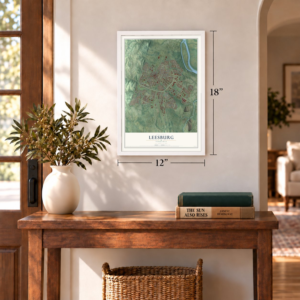

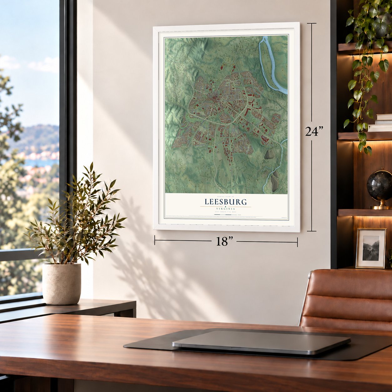

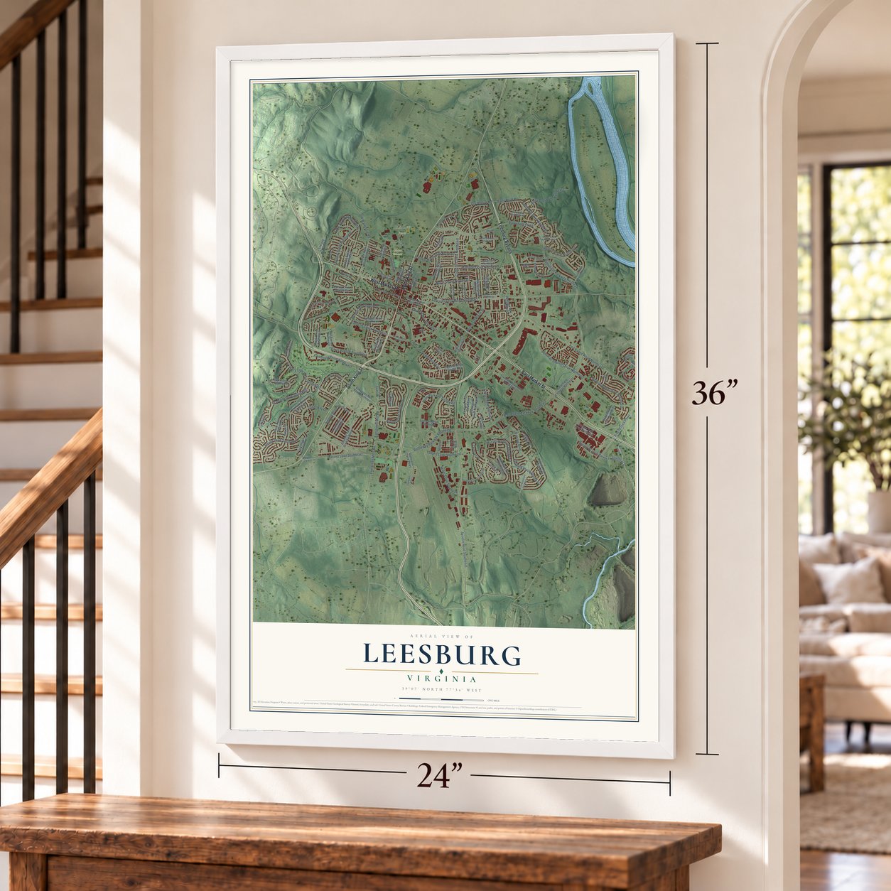

Free U.S. delivery 7 to 10 days after you order
Leesburg, Virginia Map Art
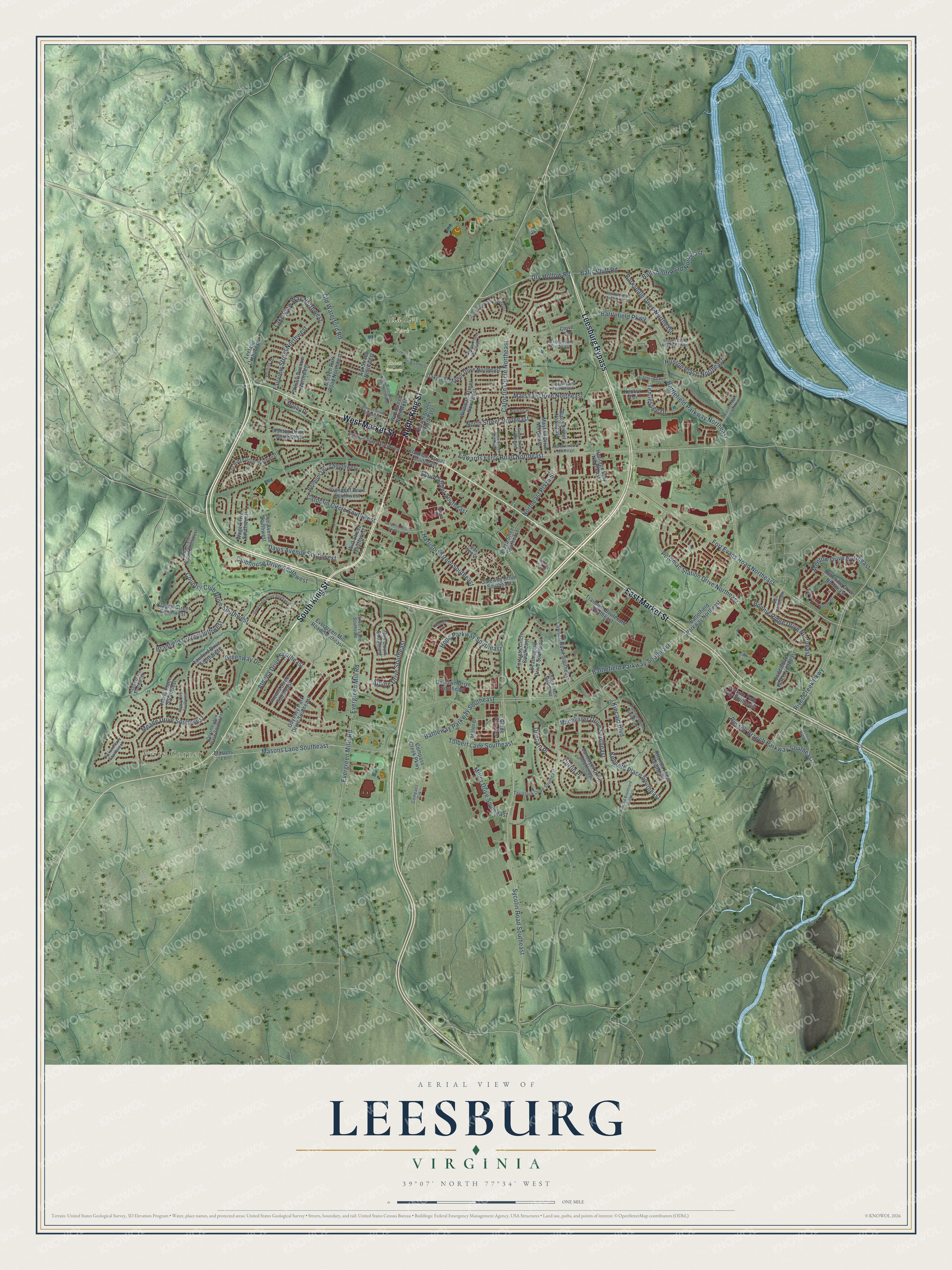
A new map of Leesburg, Virginia, made in 2026 and printed to order on thick archival matte paper.
12" x 18" Archival Matte Print
A Map of Home. A Work of Art.
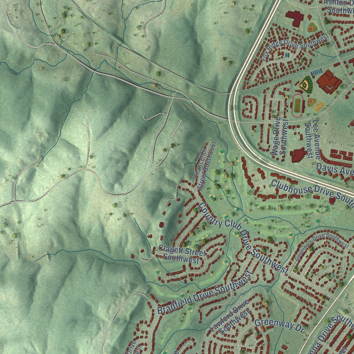
Explore Leesburg, Virginia from a whole new perspective. Created using aerial imagery and detailed geographic data, this map captures Leesburg building by building, with labeled streets, familiar landmarks, and shaded topographical relief that highlights the natural contours of the landscape.
Combining modern data with the timeless character of a vintage atlas, this map is just as interesting up close as it is beautiful on the wall. Whether you grew up in Leesburg, spent memorable years there, or call it home today, this unique map is a great way to celebrate a place that means something to you. Zoom in on the preview to look for your street, and then order a print to put your memories on the wall.
Three ways to hang it
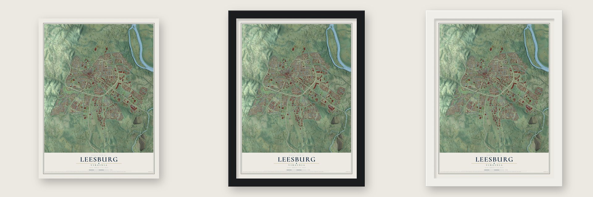
Unframed archival matte, a black wood frame or a white wood frame.
Up close
Geography Worth Displaying
This map was created using accurate cartographic data and authoritative geographic sources, including the U.S. Geological Survey and the Census Bureau. The map brings together terrain, waterways, roads, and building detail. The majority of the streets are labeled, houses are accurately depicted, and the topography is derived from government sources. Combining local data with carefully composed color and shading leads to this beautifully detailed Leesburg artwork for your wall.
Rather than simply showing street outlines, we’ve included as many of the street names as we could reasonably fit on the map while keeping their names legible. Zoom in on the high resolution preview to see exactly what’s on the map. We truly set out to create a statement piece for anyone who loves Leesburg. So whether it’s for you, or a gift for someone you love, we hope this map of Leesburg brings back fond memories.
Read the story behind this map of Leesburg, Virginia from 2026.

About Leesburg, Virginia
Leesburg is a town of 48,250 people and the county seat of Loudoun County, at the foot of Catoctin Mountain near the Potomac River. Sometime before 1755, Nicholas Minor bought land where the Old Carolina Road crossed the Potomac Ridge Road, and he opened a tavern at the corner. When Loudoun County was formed in 1757, Minor named the handful of buildings around his tavern George Town, after the British king.
A year later the colonial council picked the crossroads as the site of the county courthouse, and the little village began to grow. Minor laid out six crossing streets on 60 acres, and on October 12, 1758, Virginia's General Assembly made the land the town of Leesburg. The name most likely honors Thomas Lee, and two of his sons, Francis Lightfoot Lee and Phillip Ludwell Lee, were among its early trustees. Leesburg has been the county seat ever since, and its historic district joined the National Register in 1970.
“Zion, recognized as the oldest continuing African American Methodist congregation in Virginia, traces its origins to the Old Stone Church, established in Leesburg in 1766.”
- Safe keeping in 1812During the War of 1812, the British Army forced the federal government to flee Washington. Its records came to Leesburg for safety, among them the Declaration of Independence, the Constitution and portraits of early leaders such as Benjamin Franklin. When the Capitol was rebuilt after the war, workers used Potomac marble cut from quarries just south of town.
- Victory at Ball's BluffEarly in the Civil War, Confederate troops won the Battle of Ball's Bluff on the Potomac, 2 miles northeast of the town center. One of the country's smallest national cemeteries now marks the field.
- A courthouse never burnedAfter the Battle of Mile Hill just north of town, Robert E. Lee occupied Leesburg in September 1862. The town changed hands many times and served as a base for Col. John S. Mosby's Raiders, yet its courthouse was never burned. The present courthouse dates from 1894.
- General Marshall's homeGeorge C. Marshall, the World War II general behind the Marshall Plan that helped rebuild Europe, owned Dodona Manor in Leesburg from 1941 until he died in 1959. He also received the Nobel Peace Prize. The radio star Arthur Godfrey lived here too, and he gave the land for the town's first airport.
Find your street
Names on the Leesburg map
Every name below is printed on this map. Look for your street, your school, the park where you played, or the pond down the road.
Places and landmarks3
- Virts Corner
- Ida Lee Park
- Union Cemetery
Streets and roads135
- East Market Street
- South King Street
- Leesburg Bypass
- North King Street
- West Market Street
- Dry Hollow Road
- Edwards Ferry Road Northeast
- Masons Lane Southeast
- Sycolin Road Southeast
- Fort Evans Road Northeast
- River Creek Parkway
- Battlefield Parkway Northeast
- Tennessee Drive
- Battlefield Parkway
- Battleway Parkway Southeast
- Catoctin Circle Northeast
- Russell Branch Parkway Southeast
- Potomac Station Drive Northeast
- Evergreen Mills Road
- Northeast Plaza Street
- Meade Drive Southwest
- Alpine Drive Southeast
- Catoctin Circle Southwest
- Balls Bluff Road Northeast
- Country Club Drive Southwest
- North Street Northeast
- Harrison Street Southeast
- Marshall Drive Northeast
- Athena Drive Southeast
- Hope Parkway Southeast
Show all 135 streets
- Bonnie Ridge Drive Northeast
- Kincaid Boulevard
- Tolbert Lane Southeast
- Davis Avenue Southwest
- Lake View Way Northwest
- Menlow Drive Northeast
- Battlefield Parkway Southeast
- Fairview Street Northwest
- Clubhouse Drive Southwest
- Macalister Drive Southeast
- Barksdale Drive Northeast
- Greenway Drive
- Balls Bluff Road
- Bradfield Drive Southwest
- Kenneth Place Southeast
- South Street Southeast
- Hunton Place Northeast
- Evergreen Mill Road
- Miller Drive Southeast
- Old Waterford Road
- Duncan Place
- Curtin Place
- Masons Lane
- Plaza Street Southeast
- Church Street Northeast
- Beauregard Drive Southeast
- Battelfield Parkway Northeast
- Ayr Street Northwest
- Lawson Road Southeast
- Evergreen Mill Road Southeast
- Santmyer Drive Southeast
- Belmont Drive Southwest
- Odyssey Park Drive Southeast
- Heritage Way Northeast
- Lawford Drive Southwest
- Rhonda Place Southeast
- Oakcrest Manor Drive Northeast
- Prospect Drive Southwest
- Gateway Drive Southeast
- Morven Park Road Northwest
- Clagett Street Southwest
- Birch Street Northeast
- Compass Creek Parkway
- Wirt Street Southwest
- Trailview Boulevard Southeast
- Wildman Street Northeast
- Mayfair Drive Northeast
- Fortress Circle Southeast
- Themis Street Southeast
- Oaklawn Drive Southeast
- Harle Place Southwest
- Loudoun Street Southeast
- Belleville Drive Northeast
- Wirt Street Northwest
- Glade Fern Terrace
- Wilson Avenue Northwest
- Classic Path Way Southeast
- Ashton Drive Southwest
- Saddleback Place Northeast
- Wage Drive Southwest
- Miller Drive
- Lee Avenue Southwest
- Leeland Orchard Road
- Keokuk Terrace
- Roy Court Southeast
- Mosby Drive
- Clove Terrace
- Patrice Drive Southeast
- Tavistock Drive Southeast
- Loudoun Street Southwest
- Hague Drive Southwest
- Fox Ridge Drive Southwest
- Deermeadow Place Southwest
- Phillips Drive
- Jared Square Northeast
- Chancellor Street Southwest
- Hutchison Place
- Diskin Place Southwest
- Cattail Lane Northeast
- Nathan Place
- Stowers Lane Southeast
- Vail Mountain
- Shiloh Place Southeast
- Compass Crk
- Oak View Drive
- Haupt Square
- Cochran Mill Road
- Cornwall Street Northwest
- Woods Edge Drive Northeast
- Catoctin Circle Southeast
- Old Waterford Road Northwest
- Moore Place Southwest
- Appletree Drive Northeast
- Governors Drive Southwest
- Whitney Place Northeast
- Stoneledge Place Northeast
- Kinnaird Te Northeast
- Featherstone Lane Northeast
- Ida Lee Drive Northwest
- Kincaid Boulevard Southeast
- Shanks Evans Road Northeast
- Queen Street Northeast
- Prince Street Northeast
- Hawks View Square
- Ebaugh Drive
Names are listed as they appear on the printed map. Zoom into the product photos to find them.
The art of mapping a place
How This Map Was Made
Real places. Remarkable detail. Discover the layers that turn geographic data into a map of home.

The view from above
Aerial imagery reveals the character of the land: woodland, open fields, and the patterns of a place.

The shape of the land
Elevation data brings hills, valleys, and subtle changes in the landscape into view.

The details of home
Roads, waterways, and building footprints come together to make the map feel unmistakably local.

Geography becomes art
Considered color, shading, and typography bring the layers together in a map made for your wall.


Process illustrated with Mendon, Massachusetts. Aerial imagery: USDA NAIP. Terrain: USGS 3D Elevation Program. Map details and finished artwork: KNOWOL.
The Details
About This Print
Choose an archival matte print, or a black or white Ayous wood frame. The archival matte print is unframed.
Select your size and finish above to see the matching product image and price.
Materials & Craftsmanship
A contemporary map with the character of a classic atlas, printed on archival matte paper. Optional frames are made from Ayous wood.
Your printed map does not include the watermark shown in the full-map preview.
Shipping & Delivery
Free shipping within the United States. Every print is made to order in the USA.
Buying a gift? Add a note in your cart and we'll include it. We never put prices in the package.
Prints ship within 2 to 3 business days. Allow 7 to 10 days total from ordering for delivery. Timing may vary during holidays or periods of high order volume.
Read our shipping policy.
Returns and damaged prints
Each print is made to order. Change-of-mind refunds are not available after production.
If your print arrives damaged, misprinted or incorrect, contact support@knowol.com within 30 days of receiving it. Include your order number, photos and a description of the issue.
Read our full refund and replacement policy. For questions about your order, email support@knowol.com.
Find your town
Looking for another city?
Find a map of home in our Virginia collection, or any town in the country.
Nearby
Maps of towns near Leesburg
Know someone from one of these towns? Their map makes a great gift.
 Belmont
, Virginia
From $39.99See the map
 Lansdowne
, Virginia
From $39.99See the map
 Goose Creek Village
, Virginia
From $39.99See the map
More maps nearby: Hamilton, Waterford, Broadlands, One Loudoun and University Center.