
Search for another town




Free U.S. delivery 7 to 10 days after you order
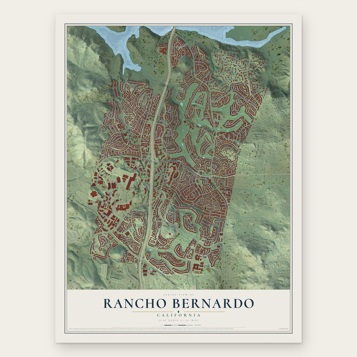
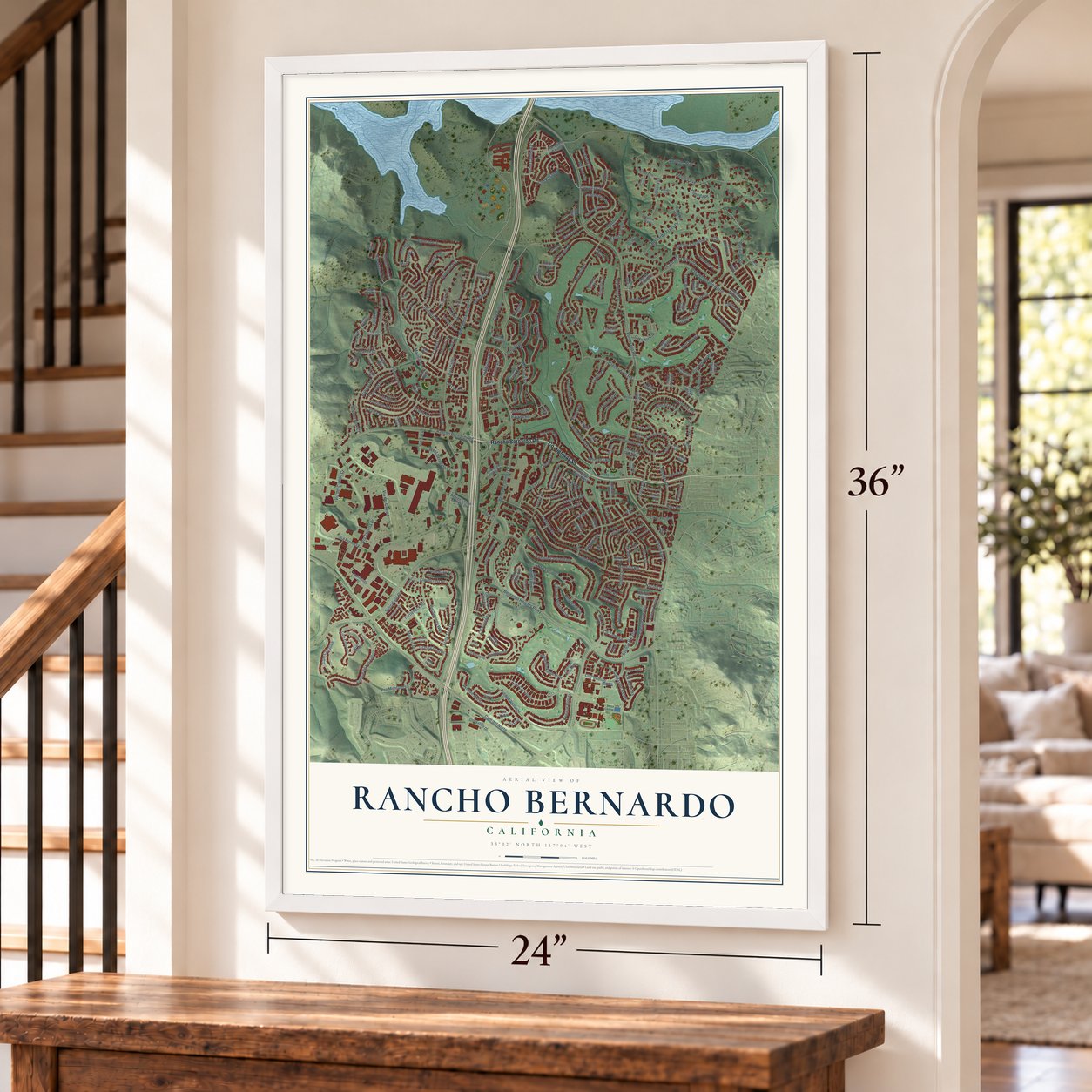
Rancho Bernardo, California Map Art
Building by building, with labeled streets and shaded relief.
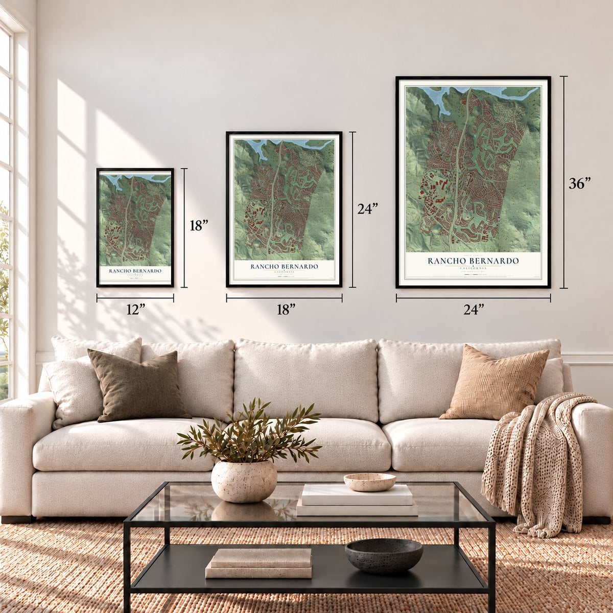
12" x 18" Archival Matte Print
A Map of Home. A Work of Art.
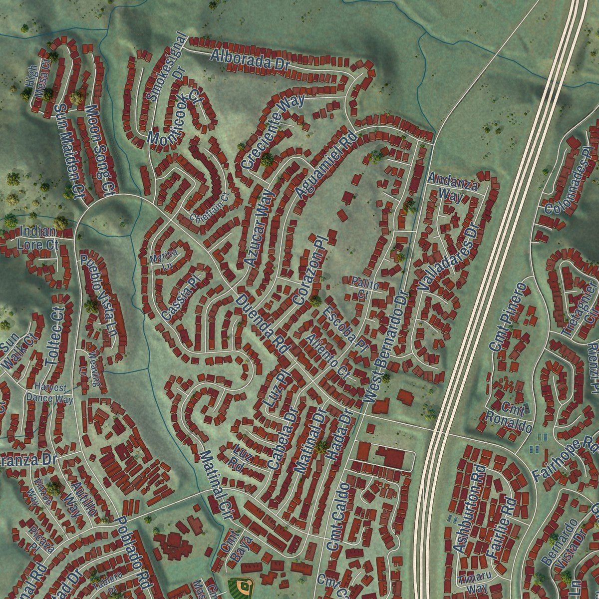
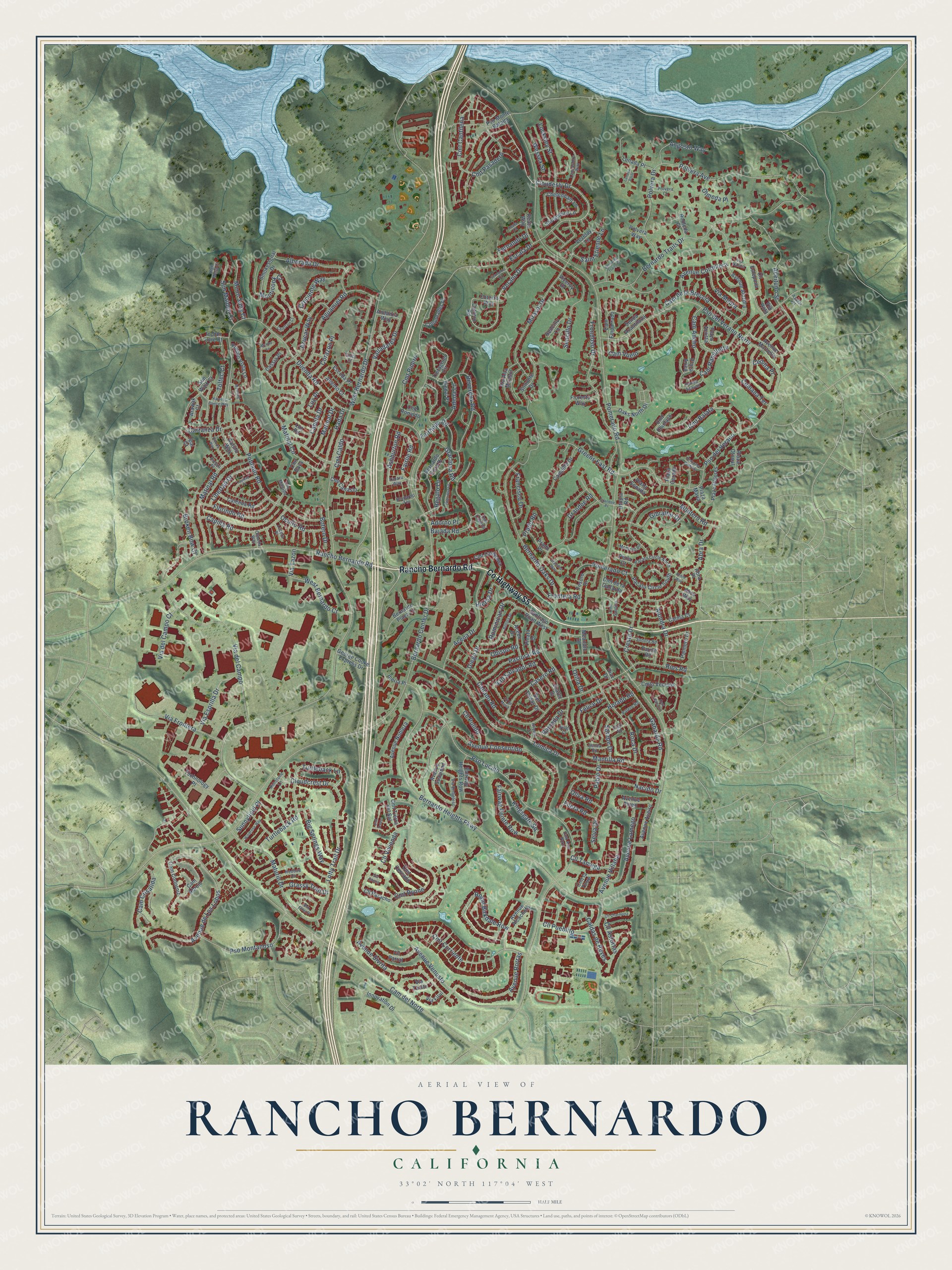
Explore Rancho Bernardo, California from a whole new perspective. Created using aerial imagery and detailed geographic data, this map captures Rancho Bernardo building by building, with labeled streets, familiar landmarks, and shaded topographical relief that highlights the natural contours of the landscape.
Combining modern data with the timeless character of a vintage atlas, this map is just as interesting up close as it is beautiful on the wall. Whether you grew up in Rancho Bernardo, spent memorable years there, or call it home today, this unique map is a great way to celebrate a place that means something to you. Zoom in on the preview to look for your street, and then order a print to put your memories on the wall.
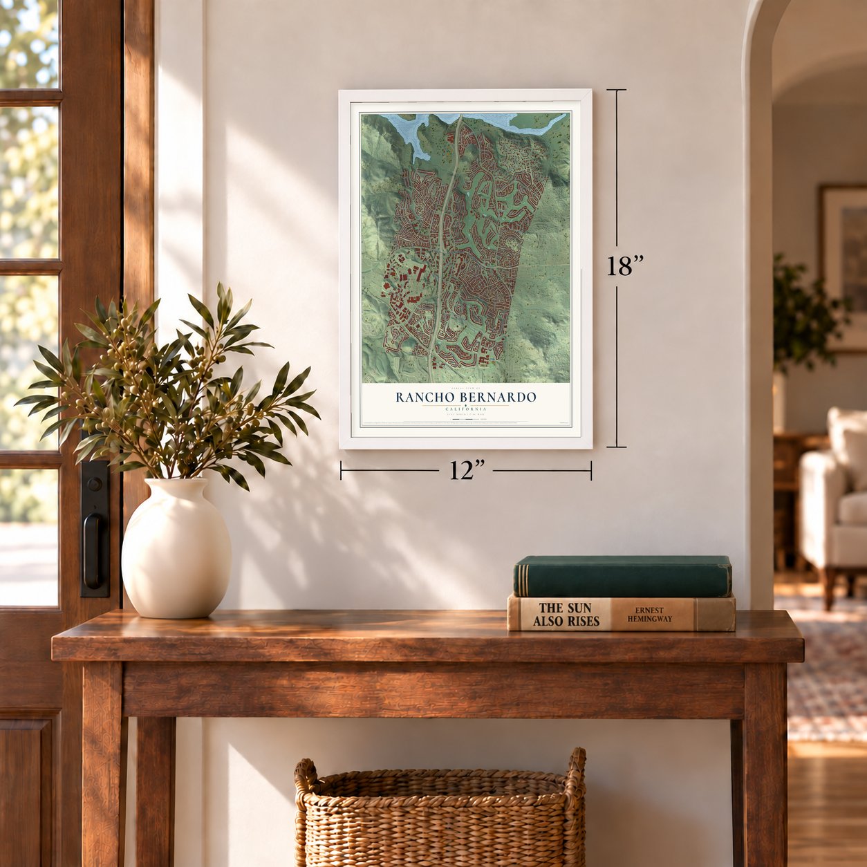
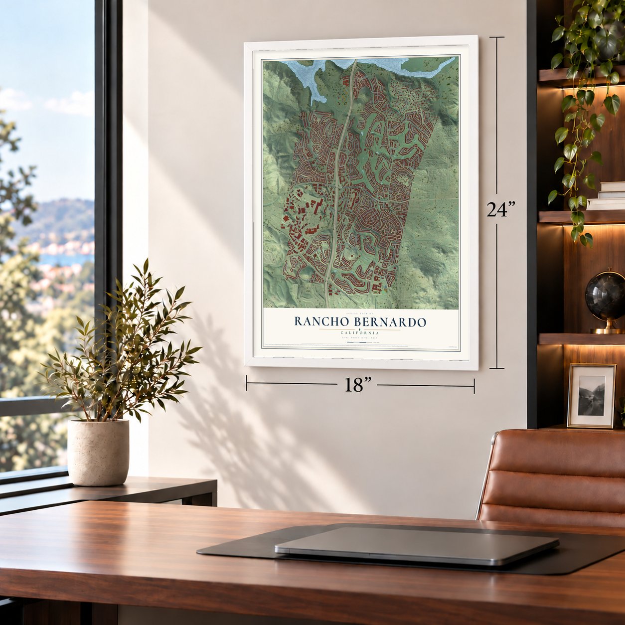
Three ways to hang it
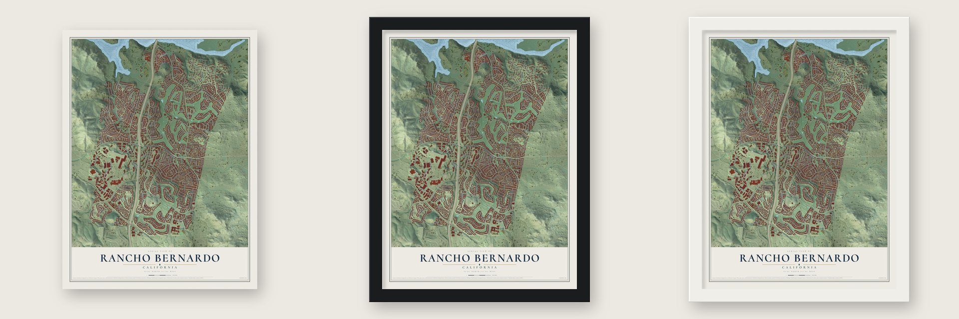
Unframed archival matte, a black wood frame or a white wood frame.
Up close
Geography Worth Displaying
This map was created using accurate cartographic data and authoritative geographic sources, including the U.S. Geological Survey and the Census Bureau. The map brings together terrain, waterways, roads, and building detail. The majority of the streets are labeled, houses are accurately depicted, and the topography is derived from government sources. Combining local data with carefully composed color and shading leads to this beautifully detailed Rancho Bernardo artwork for your wall.
Rather than simply showing street outlines, we’ve included as many of the street names as we could reasonably fit on the map while keeping their names legible. Zoom in on the high resolution preview to see exactly what’s on the map. We truly set out to create a statement piece for anyone who loves Rancho Bernardo. So whether it’s for you, or a gift for someone you love, we hope this map of Rancho Bernardo brings back fond memories.
Read the story behind this map of Rancho Bernardo, California from 2026.

Find your street
Names on the Rancho Bernardo map
Every name below is printed on this map. Look for your street, your school, the park where you played, or the pond down the road.
Streets and roads284
- Rancho Bernardo Road
- County Highway S5
- Verano Drive
- Cmt Balata
- Cloudesly Drive
- Turtleback Lane
- Ashburton Road
- Cloudcrest Drive
- West Bernardo Drive
- Pomerado Road
- Bernardo Center Drive
- Avenue Venusto
- Bernardo Heights Parkway
- Pso Lucido
- Bernardo Oaks Drive
- Cam del Norte
- Escala Drive
- Poblado Road
- Lomica Drive
- Pso del Verano Norte
- Matinal Circle
- Bernardo Trails Drive
- Via del Campo
- Matinal Road
- Pso del Verano
- Frondoso Drive
- Rios Road
- Polvera Avenue
- Cabela Drive
- Avenue de Los Lobos
Show all 284 streets
- Aceituno Street
- Avenue Consentido
- Montero Road
- Lofty Trail Drive
- Avenue Sivrita
- Mirasol Drive
- Cam Ramillette
- Maturin Drive
- Avenue Cordillera
- Horado Road
- Royal Birkdale Row
- Devereux Road
- Aguamiel Road
- Roca Drive
- Cmt Corriente
- Acena Drive
- Pso Montanoso
- Bajada Road
- Callado Road
- Abra Drive
- Avenue Rorras
- Via Frontera
- Azucar Way
- Duenda Road
- Florindo Road
- Gabarda Road
- Locksley Street
- Turtleback Road
- Capilla Road
- Polvera Drive
- Cresta Drive
- Cmt Cantilena
- Sencillo Drive
- Avenue Lamego
- Grandee Road
- Valladares Drive
- Carranza Drive
- Cmt Ryone
- Cll Pueblito
- Cll Vivienda
- Nacido Drive
- Cam de la Breccia
- Fairway Pointe Row
- Big Springs Way
- Cmt Pasadero
- West Bernardo Court
- Monticook Court
- Mantilla Road
- Felice Drive
- Alborada Drive
- Avenue Villaha
- Via Esprilla Drive
- Cam Vuelo
- Pastoral Road
- Cumana Terrace
- Cam Crisalida
- Sun Maiden Court
- Casero Road
- Cam Ancho
- Selva Drive
- Creciente Way
- Greens East Road
- Alondra Drive
- Kingsgate Square
- Caldas de Reyes
- Fairhope Road
- Obispo Road
- Angosto Way
- Regalo Lane
- Cmt Pinero
- Libertad Drive
- Fairlie Road
- Pomerado Court
- Moon Song Court
- Dominican Drive
- Francisco Drive
- Via Moura
- Gibraltar Drive
- Via del Campo Court
- Hada Drive
- Saint Etienne Lane
- Grassy Trail Drive
- Matinal Drive
- Graciosa Road
- Sarape Drive
- Broken Bow Court
- Cedilla Place
- Adena Lane
- San Salvador Road
- Corazon Place
- Oculto Road
- Cll Tamega
- Frontera Road
- Cll Pulido
- Olmeda Place
- Wessex Street
- Cmt Caldo
- Sunnyfield Place
- Cll Asturtas
- Toltec Court
- Hierba Drive
- Botero Drive
- Oliva Road
- Ramada Drive
- Filera Road
- Luz Place
- Fernando Drive
- Adorno Place
- Pablo Drive
- Prado Road
- Diego Drive
- Orilla Drive
- Via Tazon
- Avenue Alcachofa
- Cotorro Road
- Cam Emparrado
- Cmt Canasto
- Cmto Vecinos
- Avenue Alozdra
- Smokesignal Drive
- Bernardo Vista Drive
- Cam Codorniz
- Cmt Tierra del Sol
- Pacato Circle South
- Autillo Way
- Plaza Dolores
- Sintonte Drive
- Cmt Campana
- Avenue Suavidad
- Cll Parral
- Lunada Place
- Calenda Road
- Cll Estepona
- Campillo Drive
- Avenue Nobleza
- Cmt de la Gallarda
- Cam Abrojo
- Calma Court
- Acebo Drive
- Bernardo Plaza Court
- Vezelay Lane
- Parish Road
- Fairway Heights Row
- Pueblo Vista Lane
- Avenue Marbella
- Colonnades Place
- Oaks North Drive
- Santiago Road West
- Via Alta Mirasol
- Juarez Drive
- Tesoro Drive
- George Cooke Express Drive
- Avenue Aveiro
- Chetenham Lane
- Plaza Otonal
- Plaza Acosta
- Shropshire Lane
- Pinata Drive
- Cmt Cercado
- Cmt la Torre
- Cll Paracho
- Senda Acantilada
- Innovation Drive
- San Tomas Drive
- Reata Way
- Floresta Way
- Sencillo Lane
- Avenue Tineo
- Technology Place
- Palmero Drive
- Prado Place
- Meandro Drive
- Cotorro Way
- Aliento Court
- Robleda Court
- Ipai Court
- Pso Monte Batalla
- Indian Lore Court
- Plaza Sonada
- Tretagnier Circle
- Escoba Place
- Andanza Way
- Cassia Place
- Utopia Road
- Cmt Chiclayo
- Sun Walk Court
- Via Firul
- Cmt Ronaldo
- Rienzi Place
- Via Tavito
- Iberia Place
- Viceroy Drive
- Polvera Way
- Plaza Maria
- Cmt Baya
- Arawak Court
- Abra Way
- Plaza Arica
- Perla Court
- Luz Road
- Plaza Cerado
- Abra Place
- Diaz Drive
- Via Rota
- Lancashire Way
- Cmt Aire Puro
- Pacato Circle North
- Cmt Cadena
- Via Embeleso
- Redbud Court
- Rueda Acayan
- Sonora Road
- Via Nasca
- Polvera Court
- Montero Place
- Senda Road
- Palero Road
- Bernardo Terrace
- Rimstone Lane
- Pipo Road
- High Mesa Court
- Timaru Way
- Olmeda Way
- Lucera Place
- Cmt Santico
- Cmt Masada
- Azofar Court
- Picaza Place
- Palito Court
- Nivel Court
- Grandee Place
- Bellota Drive
- Chieftain Court
- Harvest Dance Way
- Pinzon Way
- Windrose Way
- Graciosa Court
- Cll de Maria
- Bernardo Trails Court
- Cll Charmona
- Tablero Place
- Cmt Tomas
- Plaza del Curtidor
- Box Elder Place
- Grandee Way
- Weaving Lane
- Lunada Point
- Reata Court
- Hispano Drive
- Roble Way
- Fernando Court
- Cmt Cancion
- Myrica Lane
- Via Chona
Names are listed as they appear on the printed map. Zoom into the product photos to find them.
About Rancho Bernardo, California
From the City of San Diego: "Rancho Bernardo is the northernmost residential community within the City of San Diego. Rancho Bernardo is centered on Interstate 15 just south of Hodges Reservoir and the San Pasqual Valley."
From the Rancho Bernardo Historical Society: "The first residents moved into Rancho Bernardo in 1963. That year also saw the opening of the Rancho Bernardo Inn and the community’s first shopping center."
Keep exploring California
Rancho Bernardo is one of 1,914 California towns we've mapped. Every dot on the map is a print of its own.
The search covers every state, California first.
Near Rancho Bernardo
Order 2 or more town maps and save 10%. Shown in the size and finish you picked above, so they hang as a set.
- Carmel Mountain Ranch 12" x 18" / Archival Matte Print $39.99
- Poway 12" x 18" / Archival Matte Print $39.99
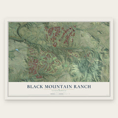
- Black Mountain Ranch 12" x 18" / Archival Matte Print $39.99


More maps nearby: Del Dios, Rancho Penasquitos, Sabre Springs, Torrey Highlands and Harmony Grove.
The art of mapping a place
How This Map Was Made
Real places. Remarkable detail. Discover the layers that turn geographic data into a map of home.

The view from above
Aerial imagery reveals the character of the land: woodland, open fields, and the patterns of a place.

The shape of the land
Elevation data brings hills, valleys, and subtle changes in the landscape into view.

The details of home
Roads, waterways, and building footprints come together to make the map feel unmistakably local.

Geography becomes art
Considered color, shading, and typography bring the layers together in a map made for your wall.


Process illustrated with Mendon, Massachusetts. Aerial imagery: USDA NAIP. Terrain: USGS 3D Elevation Program. Map details and finished artwork: KNOWOL.
The Details
About This Print
Choose an archival matte print, or a black or white Ayous wood frame. The archival matte print is unframed.
Select your size and finish above to see the matching product image and price.
Materials & Craftsmanship
A contemporary map with the character of a classic atlas, printed on archival matte paper. Optional frames are made from Ayous wood.
Your printed map does not include the watermark shown in the full-map preview.
Shipping & Delivery
Free shipping within the United States. Every print is made to order in the USA.
Buying a gift? Add a note in your cart and we'll include it. We never put prices in the package.
Prints ship within 2 to 3 business days. Allow 7 to 10 days total from ordering for delivery. Timing may vary during holidays or periods of high order volume.
Read our shipping policy.
Returns and damaged prints
Each print is made to order. Change-of-mind refunds are not available after production.
If your print arrives damaged, misprinted or incorrect, contact support@knowol.com within 30 days of receiving it. Include your order number, photos and a description of the issue.
Read our full refund and replacement policy. For questions about your order, email support@knowol.com.