
Search for another town

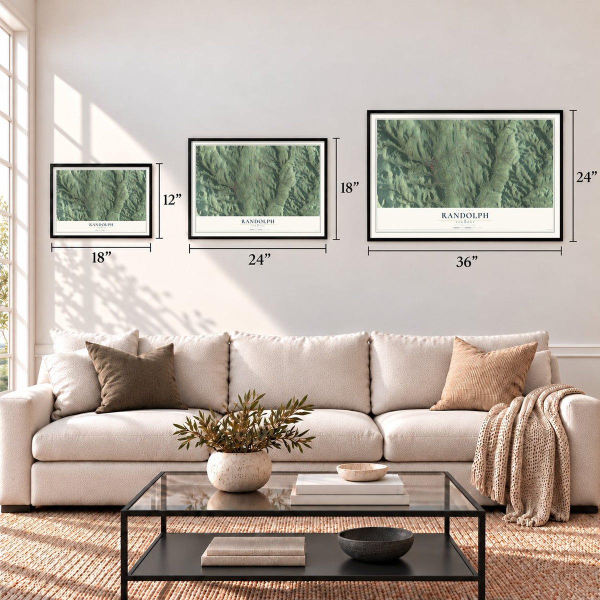

Free U.S. delivery 7 to 10 days after you order
Randolph, Vermont Map Art
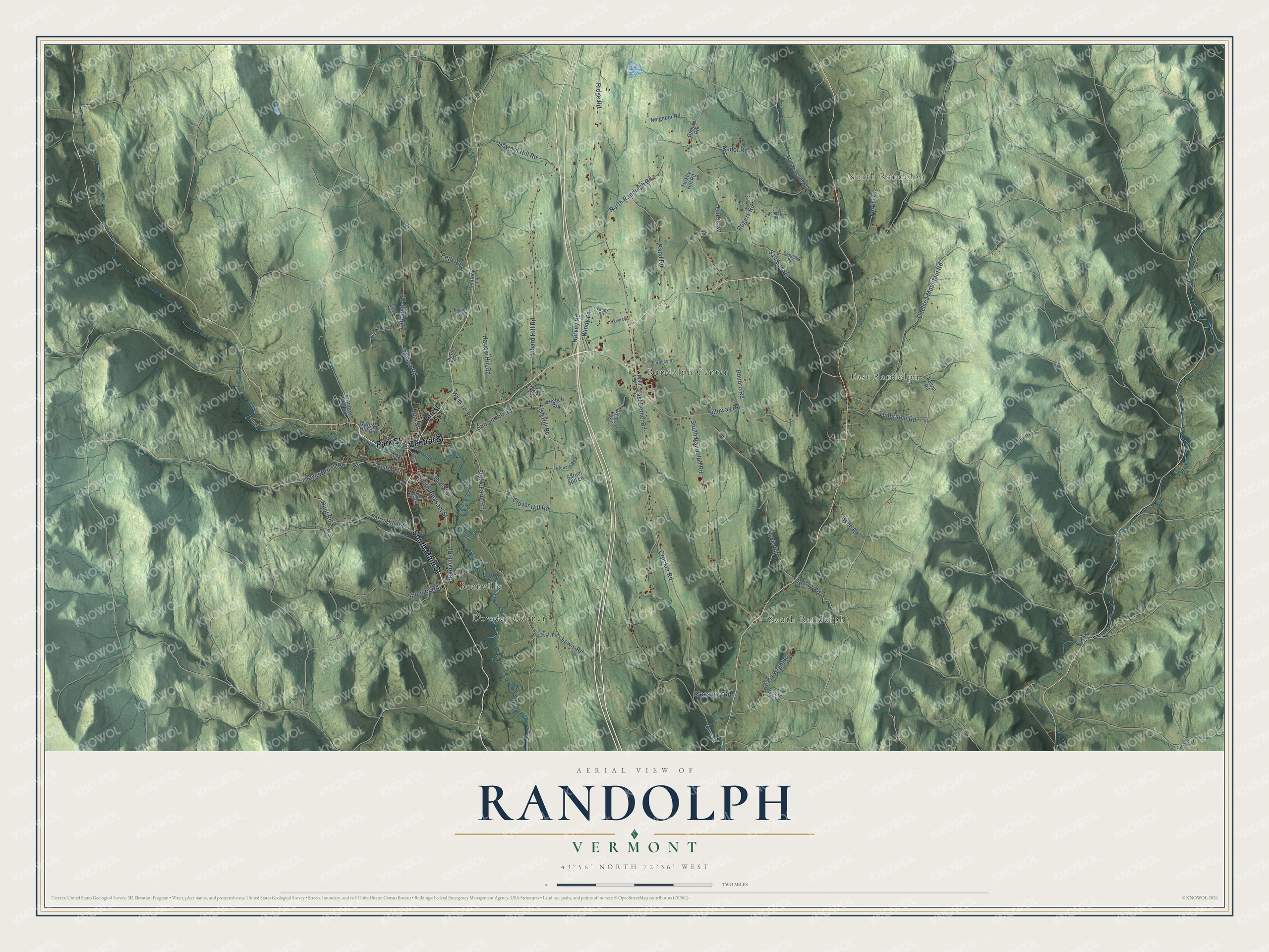
Building by building, with labeled streets and shaded relief.
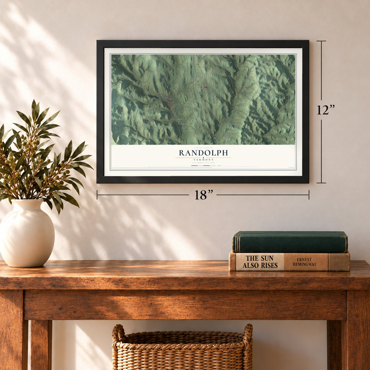
12" x 18" Archival Matte Print
A Map of Home. A Work of Art.
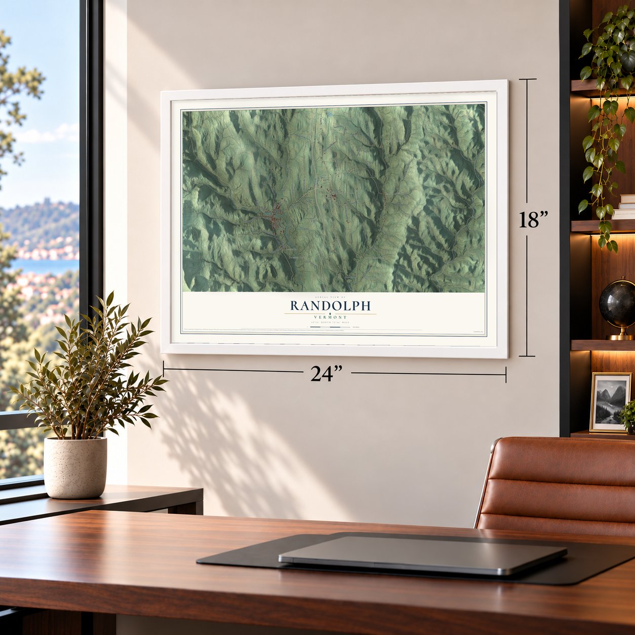
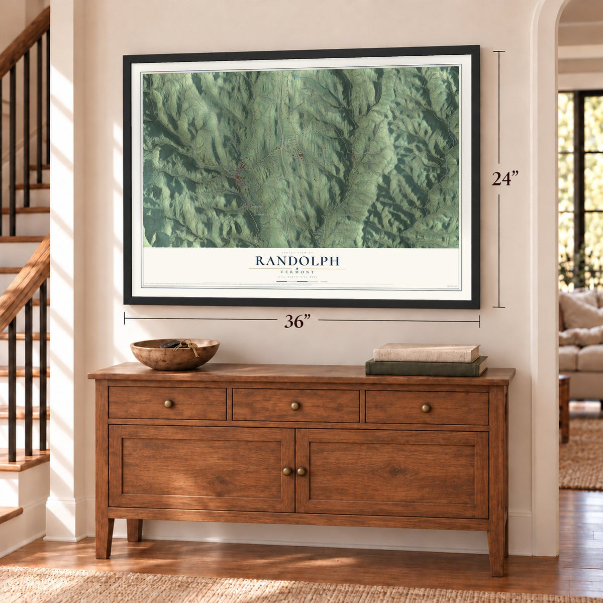
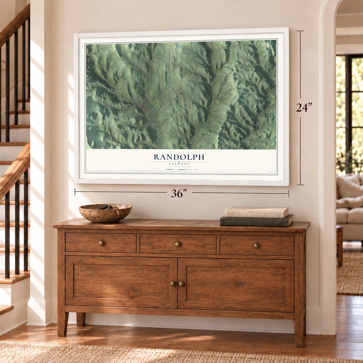
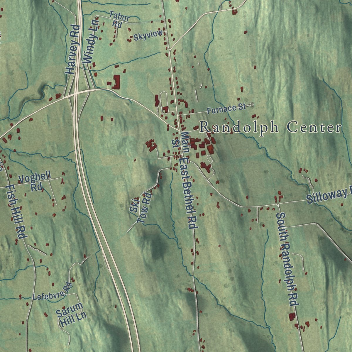
Explore Randolph, Vermont from a whole new perspective. Created using aerial imagery and detailed geographic data, this map captures Randolph building by building, with labeled streets, familiar landmarks, and shaded topographical relief that highlights the natural contours of the landscape.
Combining modern data with the timeless character of a vintage atlas, this map is just as interesting up close as it is beautiful on the wall. Whether you grew up in Randolph, spent memorable years there, or call it home today, this unique map is a great way to celebrate a place that means something to you. Zoom in on the preview to look for your street, and then order a print to put your memories on the wall.
Three ways to hang it
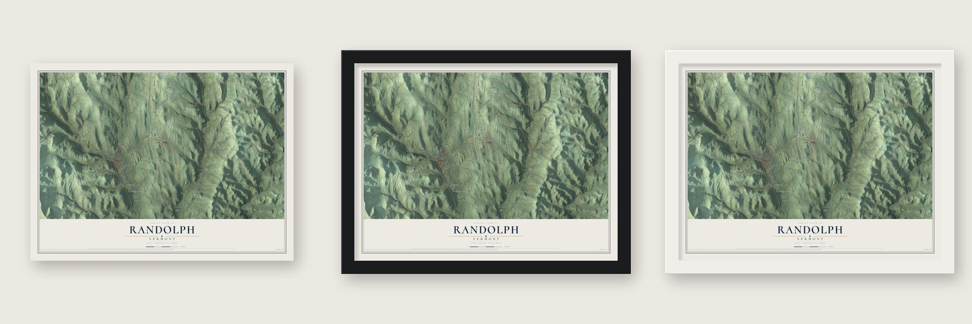
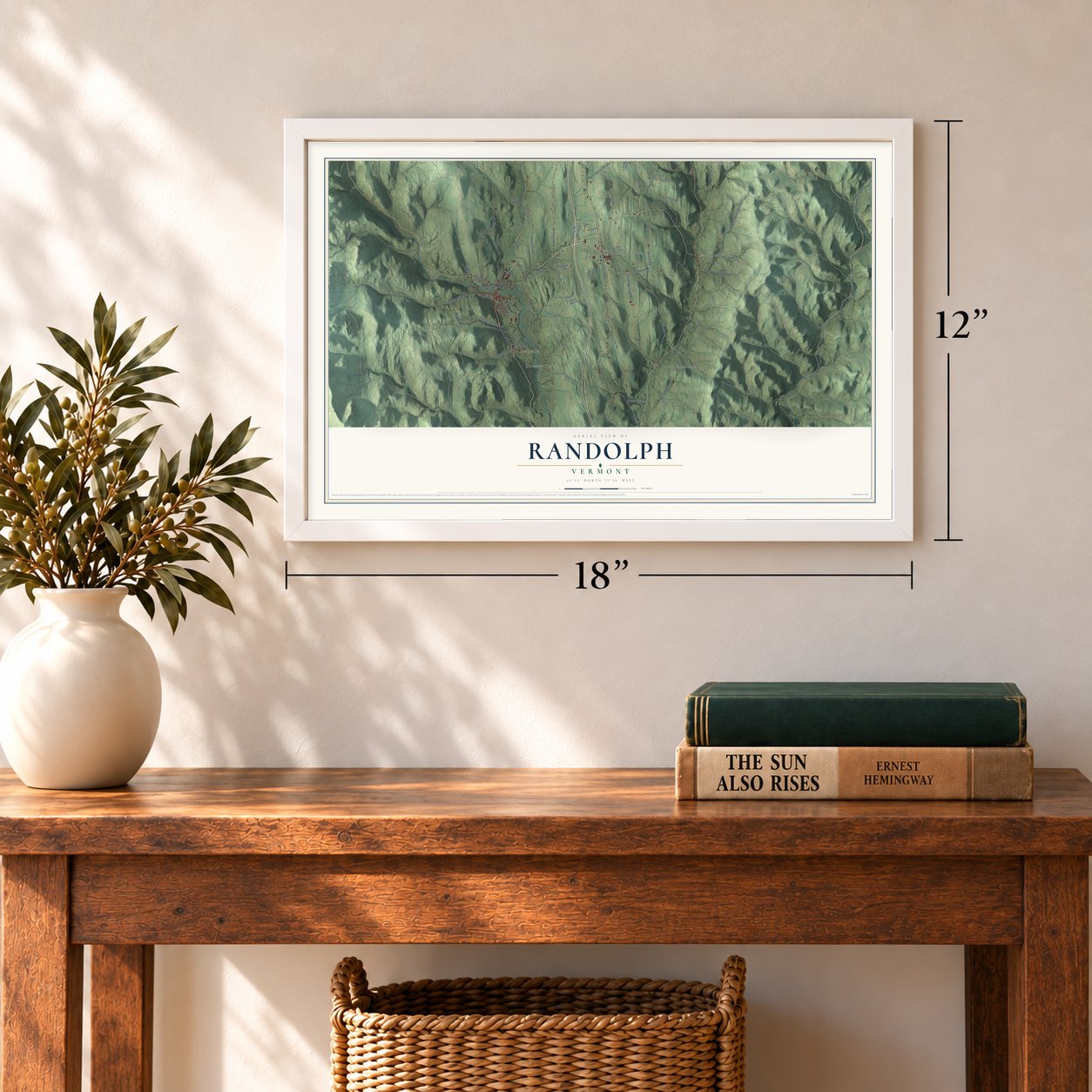
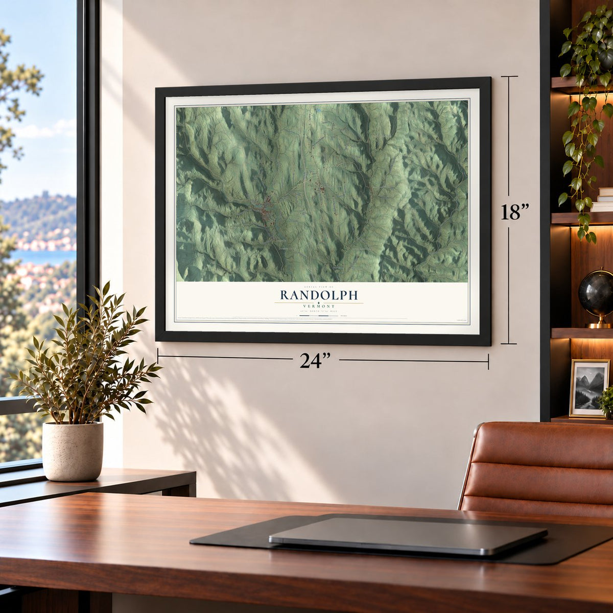
Unframed archival matte, a black wood frame or a white wood frame.
Up close
Geography Worth Displaying
This map was created using accurate cartographic data and authoritative geographic sources, including the U.S. Geological Survey (USGS) and FEMA. The map brings together terrain, waterways, roads, and building detail. The majority of the streets are labeled, houses are accurately depicted, and the topography is derived from government sources. Combining local data with carefully composed color and shading leads to this beautifully detailed Randolph artwork for your wall.
Rather than simply showing street outlines, we’ve included as many of the street names as we could reasonably fit on the map while keeping their names legible. Zoom in on the high resolution preview to see exactly what’s on the map. We truly set out to create a statement piece for anyone who loves Randolph. So whether it’s for you, or a gift for someone you love, we hope this map of Randolph brings back fond memories.
Explore the full map of Randolph, Vermont and read about the local places it shows.
Find your street
Names on the Randolph map
Every name below is printed on this map. Look for your street, your school, the park where you played, or the pond down the road.
Places and landmarks6
- North Randolph
- Beanville
- Randolph Center
- South Randolph
- East Randolph
- Dowdey Corner
Streets and roads78
- Park Street
- South Main Street
- Central Street
- Thayer Brook Road
- South Randolph Road
- Windy Lane
- Tatro Hill Road
- Stock Farm Road
- Curtis Road
- South Pleasant Street
- East Bethel Road
- North Randolph Road
- Fish Hill Road
- Hebard Hill Road
- Chelsea Mountain Road
- Ridge Road
- Davis Road
- Silloway Road
- Crocker Road
- Rogers Road
- Boudro Road
- Rand Road
- Salt Box Road
- Clay Wight Road
- Harlow Hill Road
- Howard Hill Road
- Sunset Hill Road
- Ferris Road
- Tunbridge Road
- Clover Hill Road
Show all 78 streets
- Mason Road
- Harvey Road
- Bedor Road
- Peth Road
- Labounty Road
- Elm Street
- Beanville Road
- Hull Street
- Weston Street
- Drive
- Hyde Road
- Kingsbury Road
- Spooner Road
- Dugout Road
- Lewis Road
- Hunt Road
- Forest Street
- Main Street
- Gilman Road
- Ski Tow Road
- Edson Road
- Sarum Hill Lane
- School Street
- Levi Preston Road
- Wallace Hill Road
- Neighbor Road
- Windover Road
- Braintree Hill Road
- Voghell Road
- Maple Street
- Turkey Hill Road
- Hemlock Lane
- Scenic Road
- Gifford Hill Road
- Tabor Road
- Farrington Road
- Landfill Road
- Lefebvre Road
- Hollyhock Hill
- Furnace Street
- Denning Road
- Flint Road
- Radio Drive
- Skyview
- Equine Lane
- Springer Road
- Pinnacle Road
- Prince Street
Names are listed as they appear on the printed map. Zoom into the product photos to find them.
About Randolph, Vermont
Randolph is a town of 4,774 people in Orange County, and no other town in the county is larger. Settlers came about 1778, when Vermont was acting as an independent state while New York still claimed the land. The original grantees under New York's patents couldn't be found, so on November 2, 1780, Vermont made the grant itself. The charter followed on June 29, 1781, naming Aaron Storrs and 70 others as grantees of a town called Middlesex.
Vermont wanted the United States to recognize it, so the town took the name of Edmund Randolph, a Founding Father. The town organized in 1783 and sent Asa Edgerton to the legislature in 1784. Its good soil made it a farming town, and by 1830 its 2,743 people kept twelve to thirteen thousand sheep and sold butter, cheese and mutton. When the Vermont Central Railroad arrived in 1848, trade shifted west to the depot, and West Randolph grew into the main village.
- Home of the first Morgan horseJustin Morgan farmed, bred horses, taught singing and wrote hymns, and he served as Randolph's town clerk. He accepted a stallion named Figure and two other horses to settle a debt, and Figure went on to sire the Morgan breed. Morgan died here in 1798 and lies in the Randolph Center Cemetery, while the Randolph Historical Society Museum holds his first gravestone.
- A ridge academy in 1804Randolph Center was laid out in 1783 along a ridge near the middle of town and became a stagecoach stop between Boston and Montreal. An academy opened there in 1804, and its campus later became Vermont Technical College, which joined Vermont State University in 2023. Dudley Chase, speaker of the Vermont House and the first chairman of the U.S. Senate Judiciary Committee, practiced law in Randolph, and his house still stands.
- Lincoln's telegrapher built a hallAlbert Brown Chandler, born in Randolph in 1840, learned telegraphy here as a teenager. In the Civil War he was one of President Lincoln's confidential telegraphers and worked out ciphers for secret messages, and he later ran the Postal Telegraph Company. He paid for the Chandler Music Hall, opened in 1907 next to the Kimball Public Library, which banker Colonel Robert Kimball, a Randolph native, gave the town in 1902.
- The last old covered bridgeThree covered bridges cross the Second Branch of the White River. The Braley and Gifford bridges have king post trusses only half as tall as the bridge, likely because both were first built without roofs. The Kingsbury Covered Bridge, put up in 1904, is the last documented covered bridge of Vermont's historic period, and the state built no more until the 1960s.
- Movie town in 1921Randolph was the setting of the silent film The Offenders in 1921, and local people played some of its parts. The town did the same for a second film, Insinuation, in 1922.
Keep exploring Vermont
Randolph is one of 333 Vermont towns we've mapped. Every dot on the map is a print of its own.
The search covers every state, Vermont first.
Near Randolph
Order 2 or more town maps and save 10%. Shown in the size and finish you picked above, so they hang as a set.
- Braintree 12" x 18" / Archival Matte Print $39.99
- Brookfield 12" x 18" / Archival Matte Print $39.99
- Tunbridge 12" x 18" / Archival Matte Print $39.99
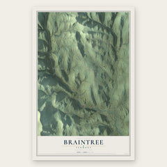
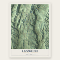
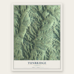
More maps nearby: Bethel, Chelsea, Royalton, South Royalton and Roxbury.
The art of mapping a place
How This Map Was Made
Real places. Remarkable detail. Discover the layers that turn geographic data into a map of home.

The view from above
Aerial imagery reveals the character of the land: woodland, open fields, and the patterns of a place.

The shape of the land
Elevation data brings hills, valleys, and subtle changes in the landscape into view.

The details of home
Roads, waterways, and building footprints come together to make the map feel unmistakably local.

Geography becomes art
Considered color, shading, and typography bring the layers together in a map made for your wall.


Process illustrated with Mendon, Massachusetts. Aerial imagery: USDA NAIP. Terrain: USGS 3D Elevation Program. Map details and finished artwork: KNOWOL.
The Details
About This Print
Choose an archival matte print, or a black or white Ayous wood frame. The archival matte print is unframed.
Select your size and finish above to see the matching product image and price.
Materials & Craftsmanship
A contemporary map with the character of a classic atlas, printed on archival matte paper. Optional frames are made from Ayous wood.
Your printed map does not include the watermark shown in the full-map preview.
Shipping & Delivery
Free shipping within the United States. Every print is made to order in the USA.
Buying a gift? Add a note in your cart and we'll include it. We never put prices in the package.
Prints ship within 2 to 3 business days. Allow 7 to 10 days total from ordering for delivery. Timing may vary during holidays or periods of high order volume.
Read our shipping policy.
Returns and damaged prints
Each print is made to order. Change-of-mind refunds are not available after production.
If your print arrives damaged, misprinted or incorrect, contact support@knowol.com within 30 days of receiving it. Include your order number, photos and a description of the issue.
Read our full refund and replacement policy. For questions about your order, email support@knowol.com.