
Search for another town



Free U.S. delivery 7 to 10 days after you order
Royalton, Vermont Map Art
Building by building, with labeled streets and shaded relief.
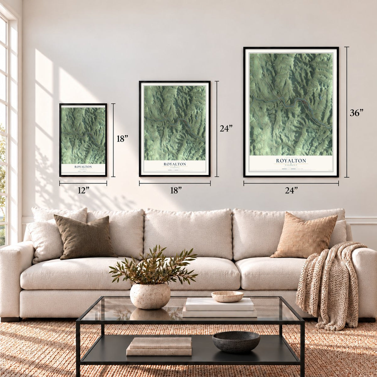
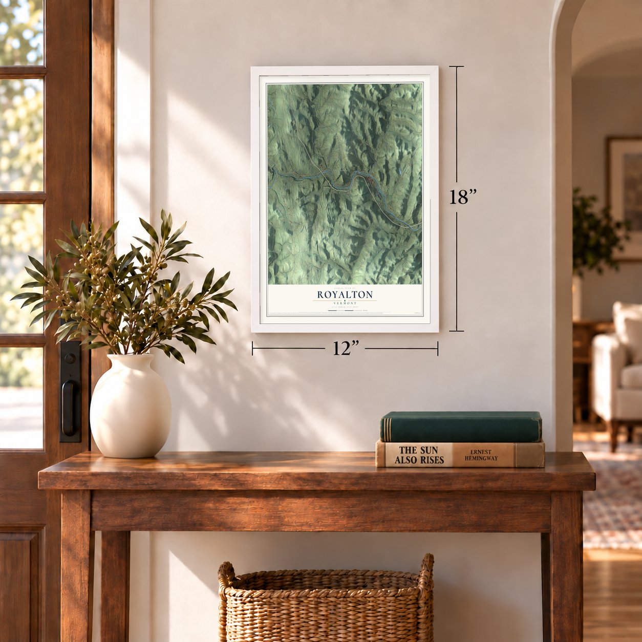
12" x 18" Archival Matte Print
A Map of Home. A Work of Art.
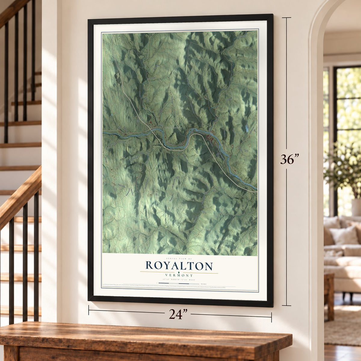
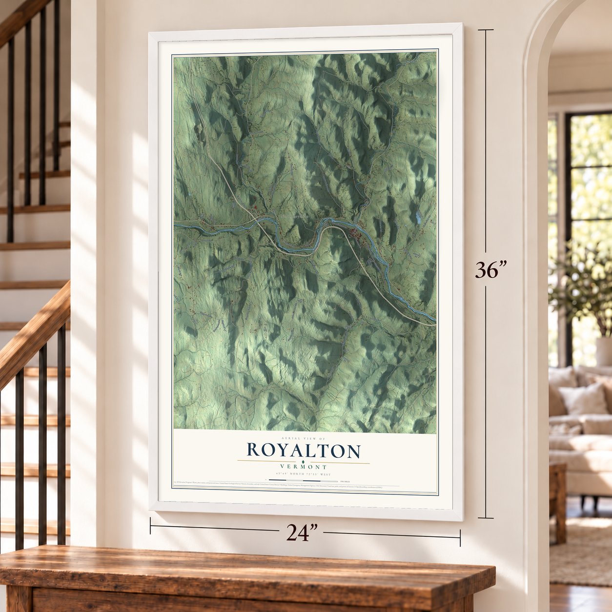
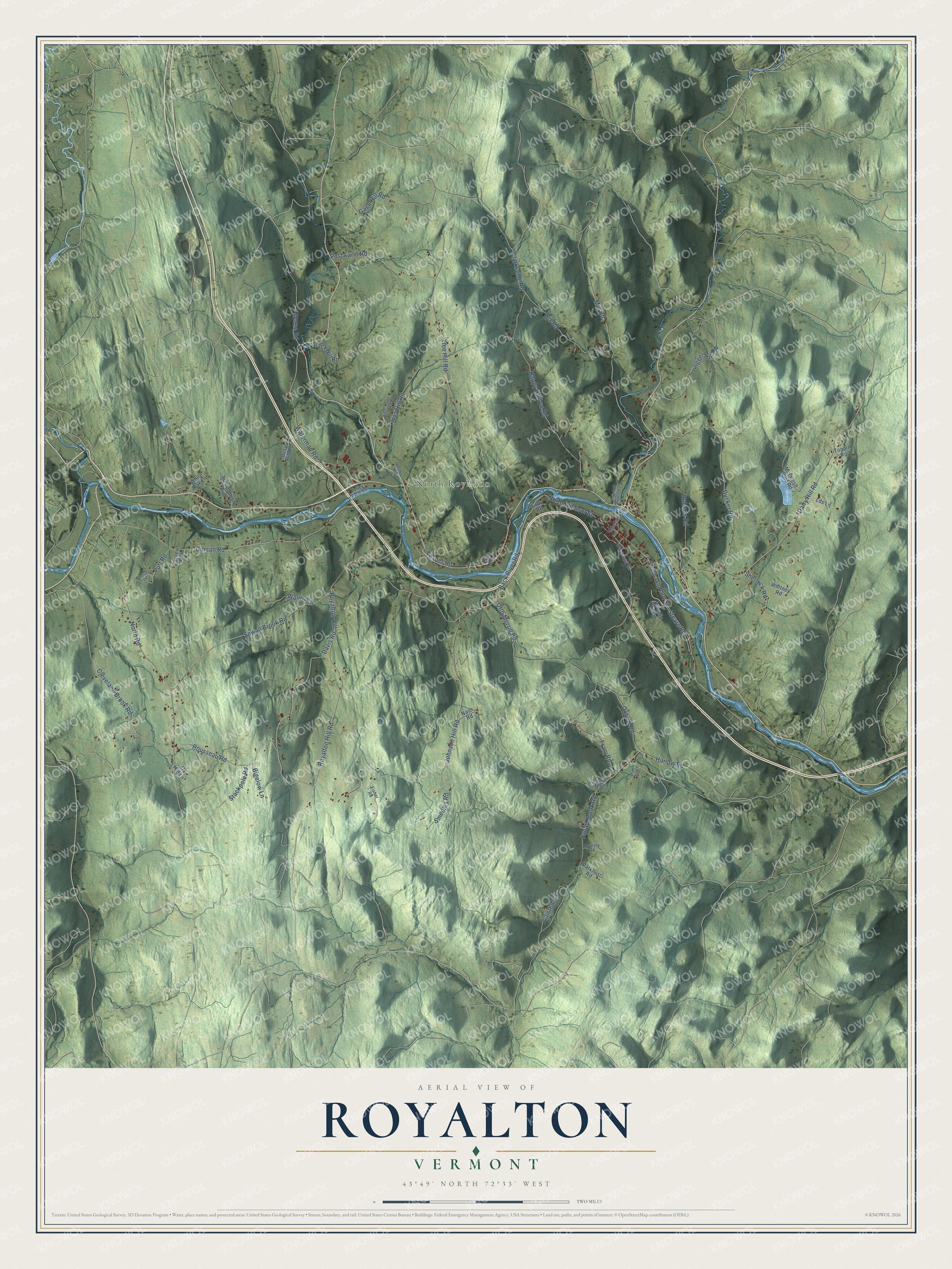
Explore Royalton, Vermont from a whole new perspective. Created using aerial imagery and detailed geographic data, this map captures Royalton building by building, with labeled streets, familiar landmarks, and shaded topographical relief that highlights the natural contours of the landscape.
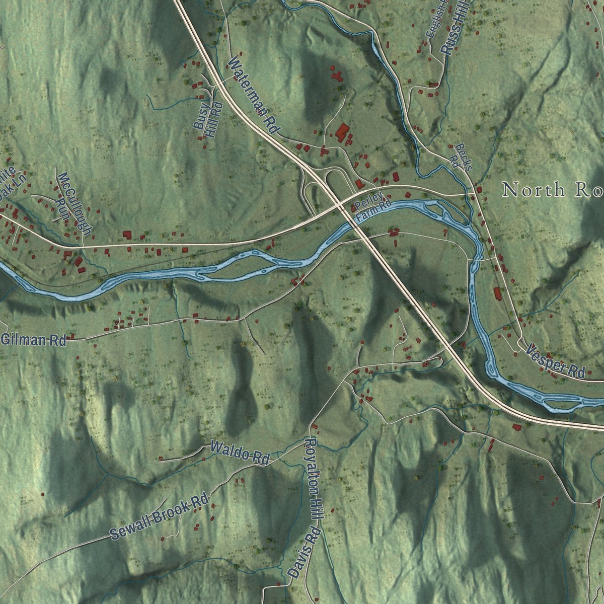
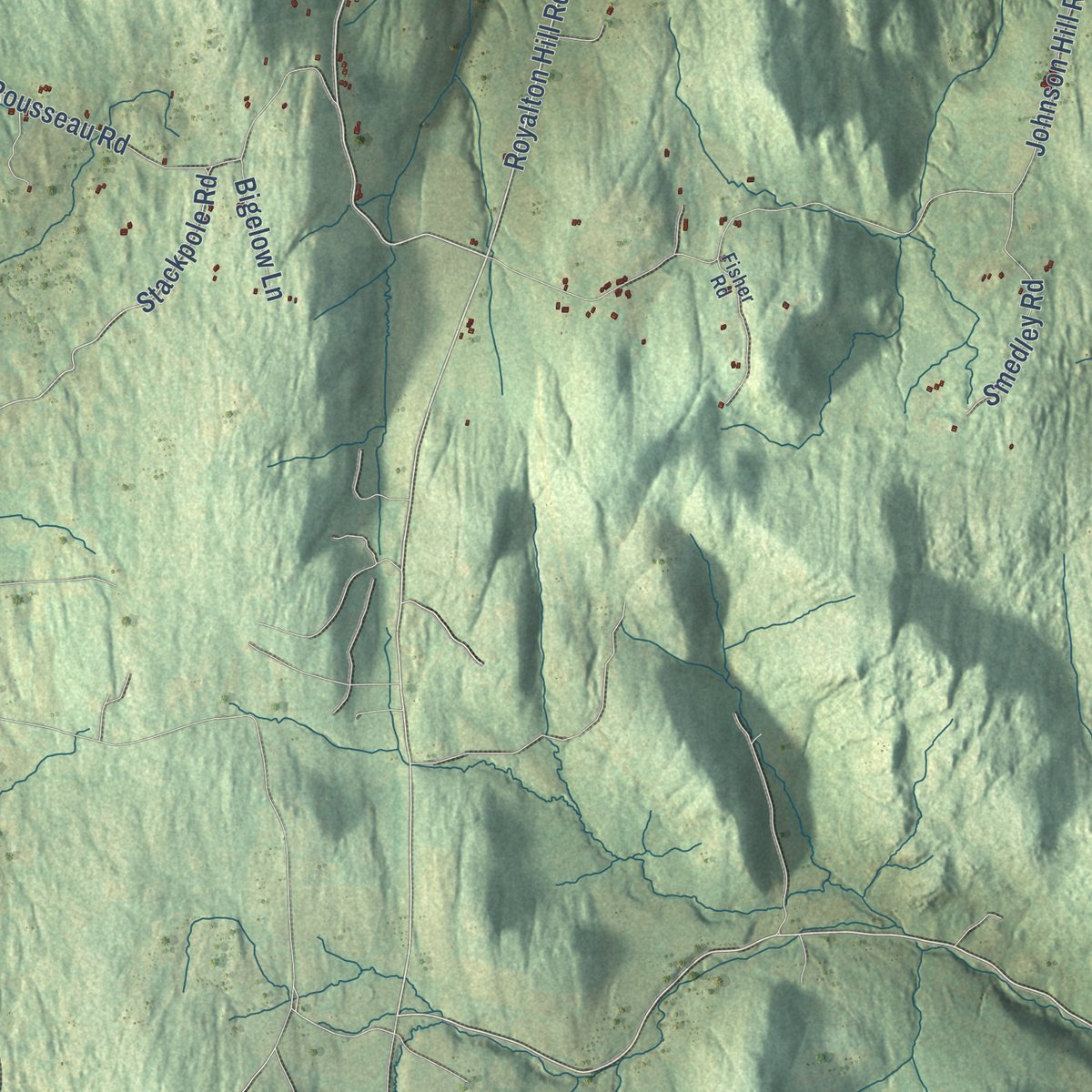
Combining modern data with the timeless character of a vintage atlas, this map is just as interesting up close as it is beautiful on the wall. Whether you grew up in Royalton, spent memorable years there, or call it home today, this unique map is a great way to celebrate a place that means something to you. Zoom in on the preview to look for your street, and then order a print to put your memories on the wall.
Three ways to hang it
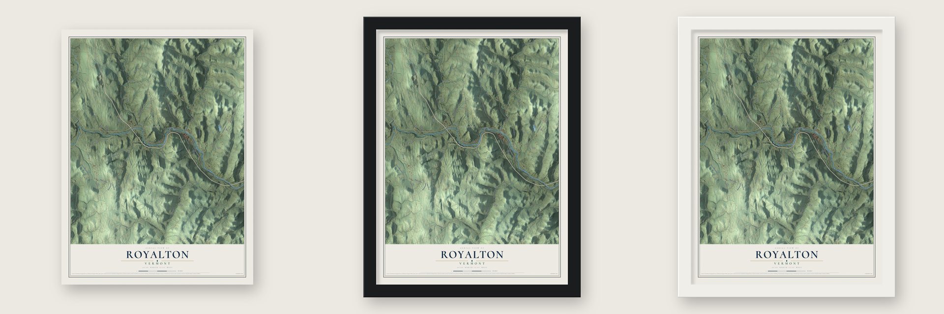
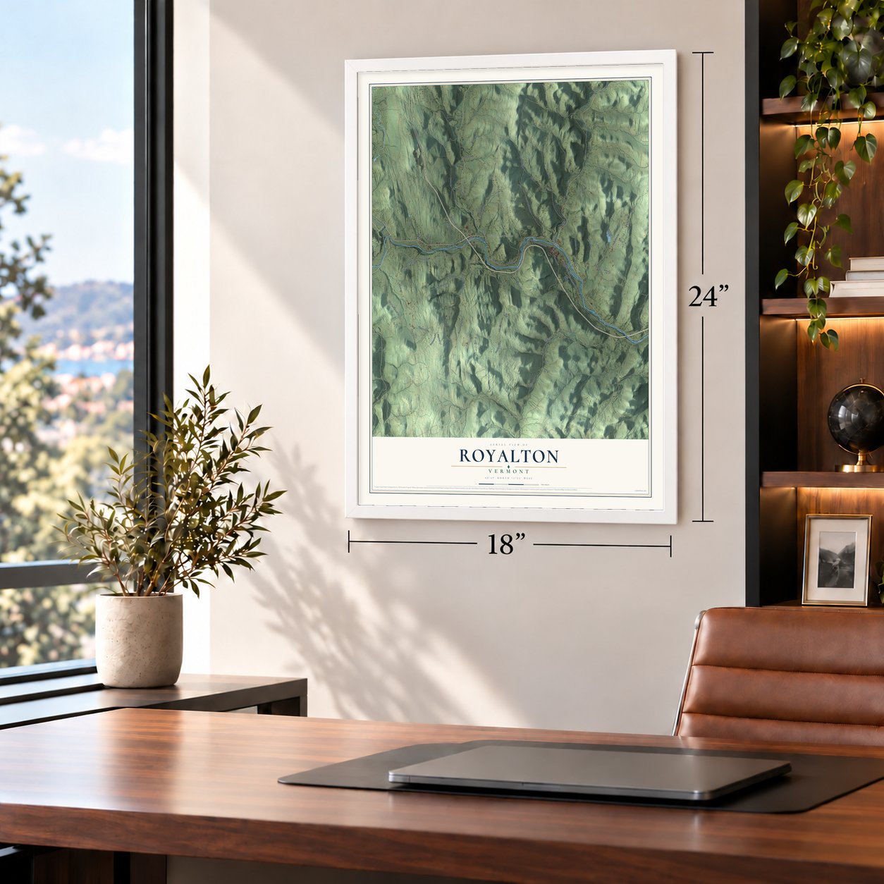
Unframed archival matte, a black wood frame or a white wood frame.
Up close
Geography Worth Displaying
This map was created using accurate cartographic data and authoritative geographic sources, including the U.S. Geological Survey (USGS) and FEMA. The map brings together terrain, waterways, roads, and building detail. The majority of the streets are labeled, houses are accurately depicted, and the topography is derived from government sources. Combining local data with carefully composed color and shading leads to this beautifully detailed Royalton artwork for your wall.
Rather than simply showing street outlines, we’ve included as many of the street names as we could reasonably fit on the map while keeping their names legible. Zoom in on the high resolution preview to see exactly what’s on the map. We truly set out to create a statement piece for anyone who loves Royalton. So whether it’s for you, or a gift for someone you love, we hope this map of Royalton brings back fond memories.
Explore the full map of Royalton, Vermont and read about the local places it shows.
Find your street
Names on the Royalton map
Every name below is printed on this map. Look for your street, your school, the park where you played, or the pond down the road.
Places and landmarks1
- North Royalton
Streets and roads67
- Royalton Hill Road
- Davis Road
- Mill Road
- Royalton Hill
- Clarksville Road
- South Windsor Street
- North Windsor Street
- Stackpole Road
- Putt Road
- Gee Hill Road
- Johnson Hill Road
- Dairy Hill Road
- Back River Road
- Gilman Road
- Broad Brook Road
- Oxbow Road
- Sewall Brook Road
- Happy Hollow Road
- Ducker Road
- Rousseau Road
- North Road
- Waterman Road
- Russ Hill Road
- Jigger Hill Road
- Rix Road
- Post Farm Road
- Cleveland Brook Road
- Frary Road
- Otto Merrill Road
- Roberts Road
Show all 67 streets
- Harlow Road
- Smedley Road
- Stearn Road
- Waldo Road
- Plaisted Road
- Morse Road
- Sherlock Road
- Slack Hill Road
- Gage Hill Road
- Bigelow Lane
- Vesper Road
- Pleasant Street
- McIntosh Pond Road
- Lds Lane
- McCullough Run
- Busy Hill Road
- Parkhust Road
- Whitney Road
- Chelsea Street
- White Oak Lane
- Nash Road
- Ox Hill Lane
- Hewety Hill Lane
- Toppin Road
- Carney Road
- Eddy Road
- Lyon Road
- English Road
- Unnamed Driveway
- Perley Farm Road
- Lovejoy Road
- Fisher Road
- Becks Road
- Piper Lane
- Crawford Autoland Lane
- Therrien Lane
- Boles Road
Names are listed as they appear on the printed map. Zoom into the product photos to find them.
About Royalton, Vermont
Royalton is a town of 2,750 people in Windsor County. The White River runs through its center, and three villages grew up here: Royalton, South Royalton and North Royalton. New York's lieutenant governor, Cadwallader Colden, chartered the town on November 23, 1769, and Robert Havens brought his family in 1771 to settle for good. Vermont, then an independent republic, granted the town a second charter on December 20, 1781.
In October 1780 Lieutenant Richard Houghton, a British officer, came down the White River valley with 300 Mohawk warriors from Kahnawake. They burned Royalton, Sharon and Tunbridge, then marched 26 settlers north as captives. Hannah Handy, a young mother, crossed the river after them and begged Houghton to free the young boys, who she said would die on the way to Canada, and he handed them over to her to take home. It was the last major British raid of the Revolution in New England, and Handy is remembered with a granite arch on the South Royalton green.
- Rebuilt after the raidIsaac Morgan probably opened a mill on the First Branch White River about 1776, and after the raid he built it again. The house beside it went up in 1780 and 1781, likely from lumber salvaged from burned buildings, and is thought to be the oldest building in town. Over 190 years the Royalton Mill Complex held a gristmill, a sawmill, a fulling mill, a nailery and a furniture factory.
- Lafayette's stop in 1825Amasa Dutton Jr. built the brick Fox Stand for Jacob Fox in the 1810s as a tavern for travelers on the White River Turnpike, and its third floor held a ballroom for the town's social life. In 1825 the Marquis de Lafayette stopped there on his way north to Montpelier.
- A depot town from 1848South Royalton was still farmland when the Vermont Central Railroad reached it in 1848. Daniel Tarbell, a Tunbridge mill owner, bought land from the farmers for a freight depot, and in 1850 he opened the South Royalton House to lodge rail passengers. A fire in 1886 wiped out the business blocks, and new brick shops rose on Chelsea Street facing the green.
- A law school in 1972Vermont Law School opened its doors in 1972, and the next summer 113 students began classes inside the former South Royalton schoolhouse. The school, renamed Vermont Law and Graduate School, remains the only accredited law school in Vermont.
- A calculating boy, born 1836Truman Henry Safford, born in Royalton in 1836, squared 365,365,365,365,365,365 in his head in under a minute when he was nine. He later studied astronomy at Harvard, and Williams College made him the second director of its Hopkins Observatory.
Keep exploring Vermont
Royalton is one of 333 Vermont towns we've mapped. Every dot on the map is a print of its own.
The search covers every state, Vermont first.
Near Royalton
Order 2 or more town maps and save 10%. Shown in the size and finish you picked above, so they hang as a set.
- South Royalton 12" x 18" / Archival Matte Print $39.99
- Sharon 12" x 18" / Archival Matte Print $39.99
- Bethel 12" x 18" / Archival Matte Print $39.99
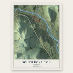
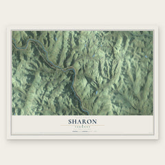

More maps nearby: Tunbridge, Barnard, Pomfret, Randolph and Strafford.
The art of mapping a place
How This Map Was Made
Real places. Remarkable detail. Discover the layers that turn geographic data into a map of home.

The view from above
Aerial imagery reveals the character of the land: woodland, open fields, and the patterns of a place.

The shape of the land
Elevation data brings hills, valleys, and subtle changes in the landscape into view.

The details of home
Roads, waterways, and building footprints come together to make the map feel unmistakably local.

Geography becomes art
Considered color, shading, and typography bring the layers together in a map made for your wall.


Process illustrated with Mendon, Massachusetts. Aerial imagery: USDA NAIP. Terrain: USGS 3D Elevation Program. Map details and finished artwork: KNOWOL.
The Details
About This Print
Choose an archival matte print, or a black or white Ayous wood frame. The archival matte print is unframed.
Select your size and finish above to see the matching product image and price.
Materials & Craftsmanship
A contemporary map with the character of a classic atlas, printed on archival matte paper. Optional frames are made from Ayous wood.
Your printed map does not include the watermark shown in the full-map preview.
Shipping & Delivery
Free shipping within the United States. Every print is made to order in the USA.
Buying a gift? Add a note in your cart and we'll include it. We never put prices in the package.
Prints ship within 2 to 3 business days. Allow 7 to 10 days total from ordering for delivery. Timing may vary during holidays or periods of high order volume.
Read our shipping policy.
Returns and damaged prints
Each print is made to order. Change-of-mind refunds are not available after production.
If your print arrives damaged, misprinted or incorrect, contact support@knowol.com within 30 days of receiving it. Include your order number, photos and a description of the issue.
Read our full refund and replacement policy. For questions about your order, email support@knowol.com.