
Search for another town
Free U.S. delivery 7 to 10 days after you order
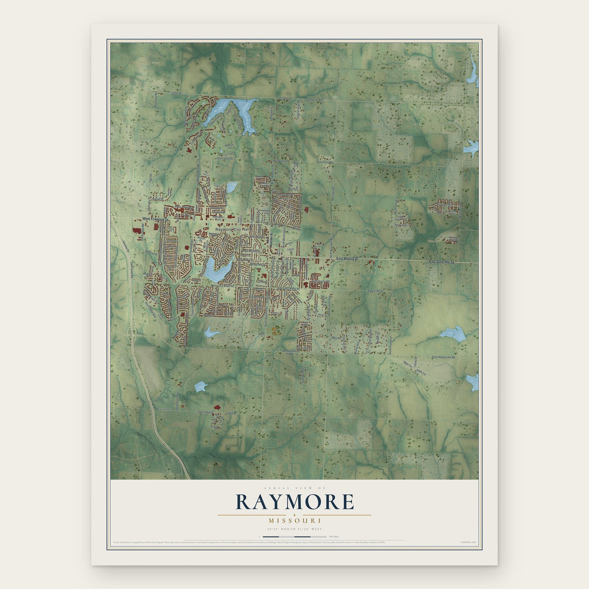
Raymore, Missouri Map Art
Building by building, with labeled streets and shaded relief.
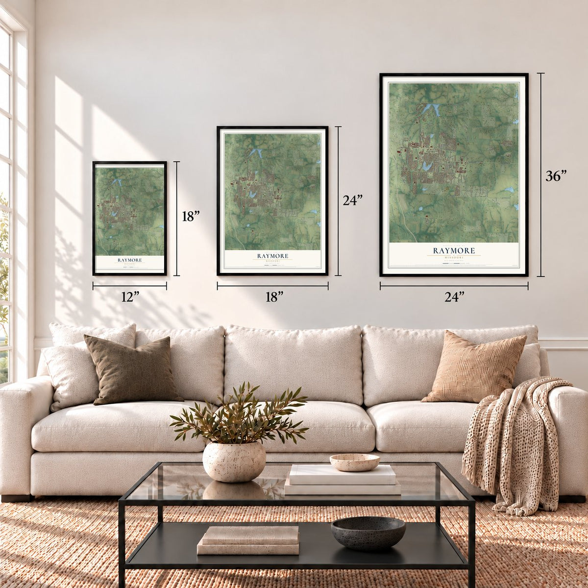
12" x 18" Archival Matte Print
A Map of Home. A Work of Art.
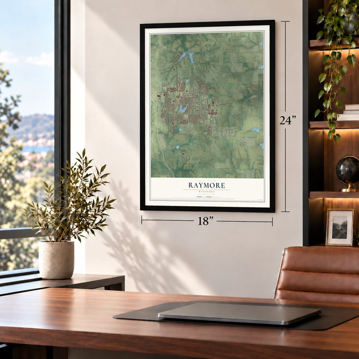
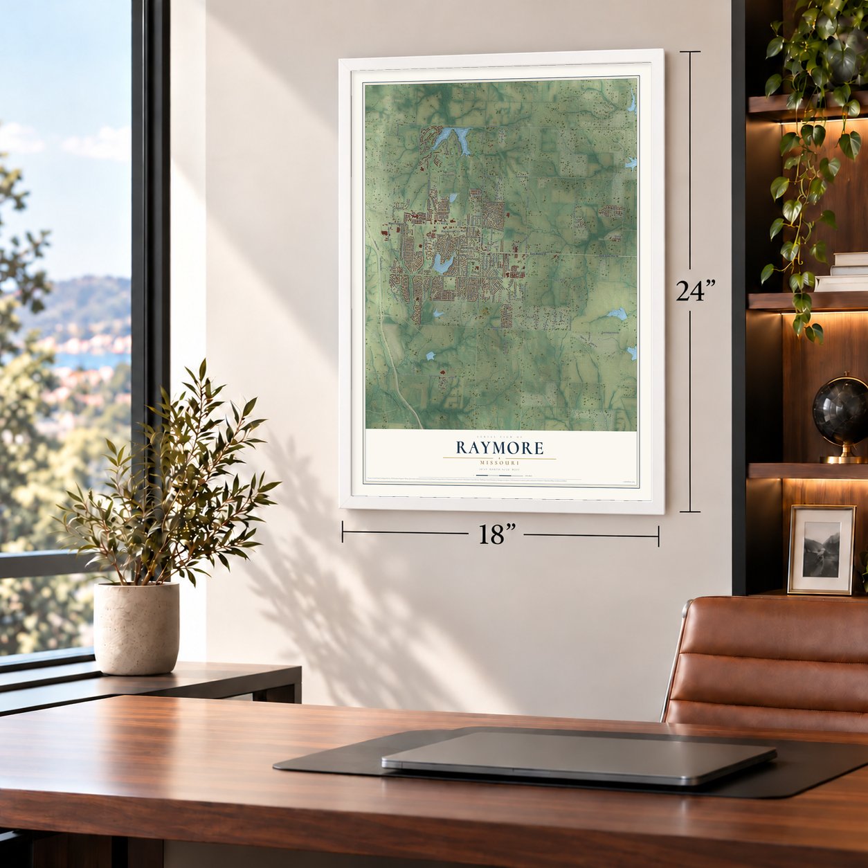
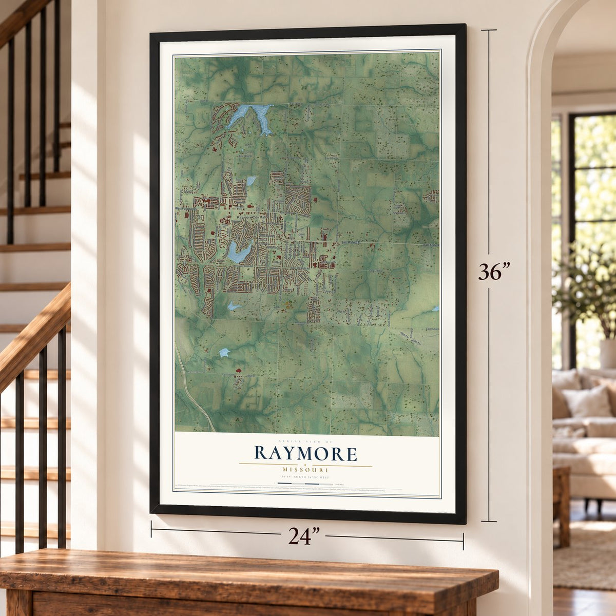
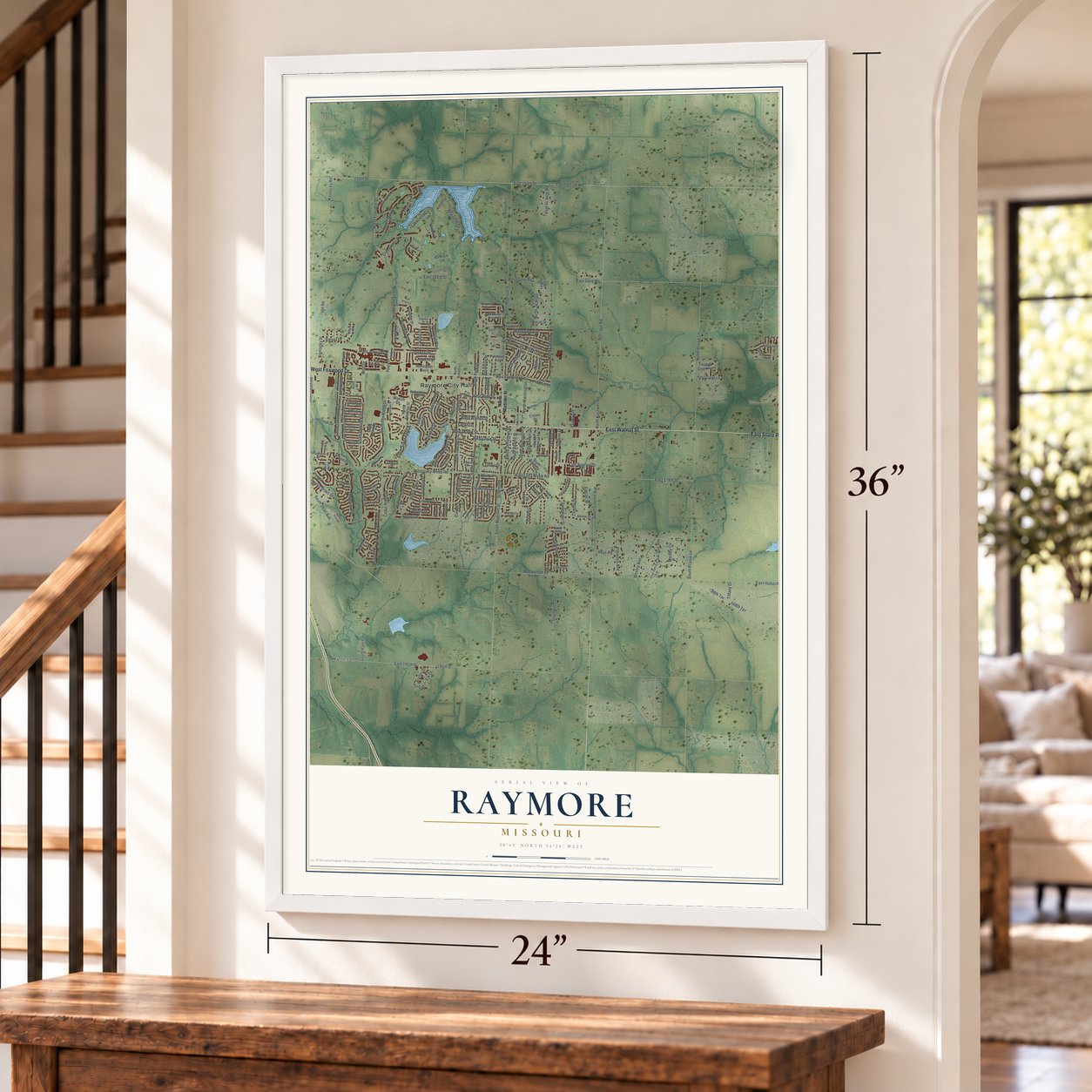
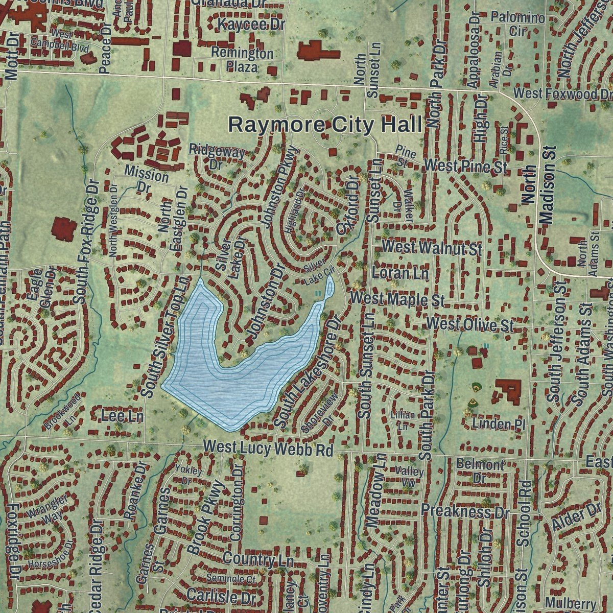
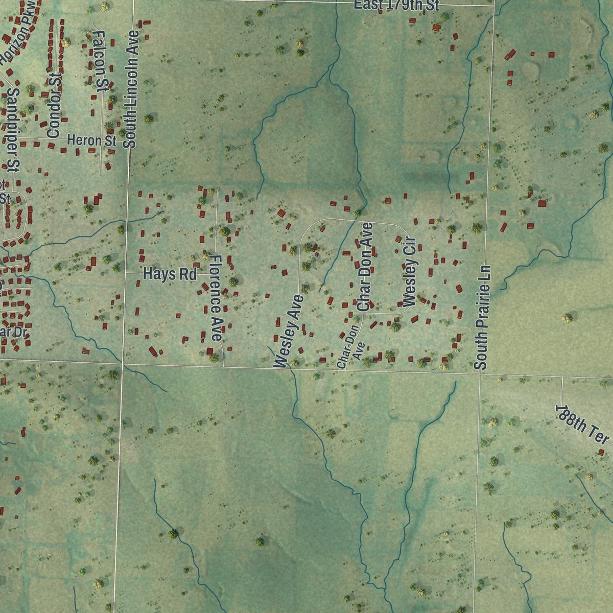
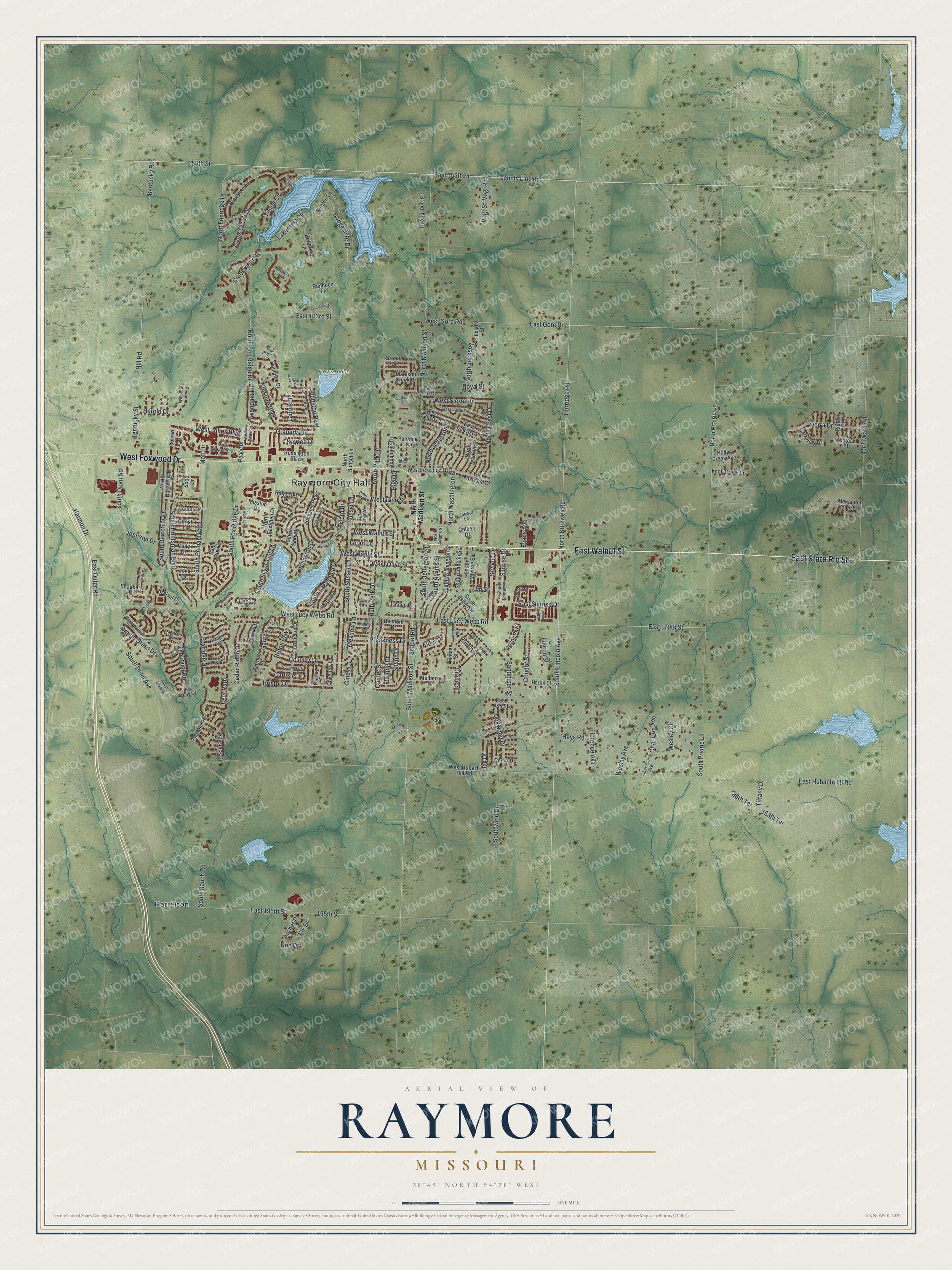
Explore Raymore, Missouri from a whole new perspective. Created using aerial imagery and detailed geographic data, this map captures Raymore building by building, with labeled streets, familiar landmarks, and shaded topographical relief that highlights the natural contours of the landscape.
Combining modern data with the timeless character of a vintage atlas, this map is just as interesting up close as it is beautiful on the wall. Whether you grew up in Raymore, spent memorable years there, or call it home today, this unique map is a great way to celebrate a place that means something to you. Zoom in on the preview to look for your street, and then order a print to put your memories on the wall.
Three ways to hang it
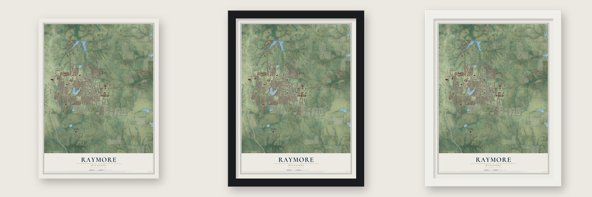
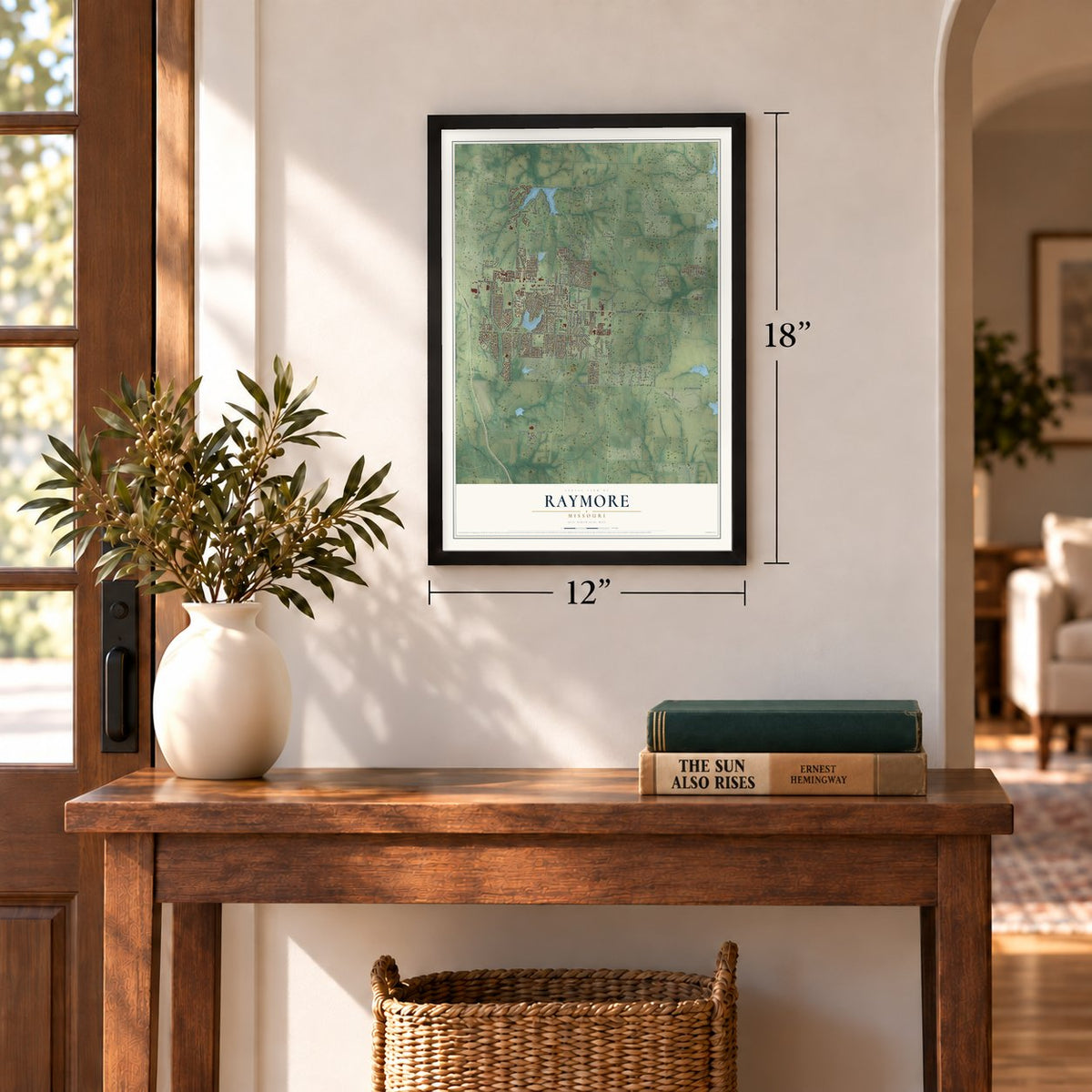
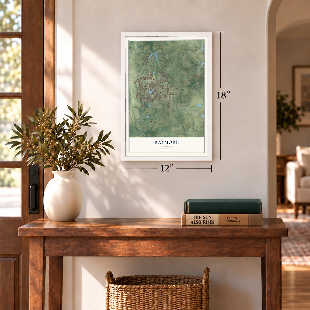
Unframed archival matte, a black wood frame or a white wood frame.
Up close
Geography Worth Displaying
This map was created using accurate cartographic data and authoritative geographic sources, including the U.S. Geological Survey and the Census Bureau. The map brings together terrain, waterways, roads, and building detail. The majority of the streets are labeled, houses are accurately depicted, and the topography is derived from government sources. Combining local data with carefully composed color and shading leads to this beautifully detailed Raymore artwork for your wall.
Rather than simply showing street outlines, we’ve included as many of the street names as we could reasonably fit on the map while keeping their names legible. Zoom in on the high resolution preview to see exactly what’s on the map. We truly set out to create a statement piece for anyone who loves Raymore. So whether it’s for you, or a gift for someone you love, we hope this map of Raymore brings back fond memories.
Read the story behind this map of Raymore, Missouri from 2026.
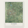
Find your street
Names on the Raymore map
Every name below is printed on this map. Look for your street, your school, the park where you played, or the pond down the road.
Places and landmarks3
- Raymore City Hall
- Hawk Ridge Park
- Harrelson
Streets and roads226
- East Walnut Street
- East State Route 58
- West Foxwood Drive
- South Madison Street
- School Road
- East Sunrise Drive
- Sunrise Drive
- Garnes
- East 155th Street
- Sandpiper Street
- 155th Street
- West Lucy Webb Road
- East Lucy Webb Road
- North Prairie Lane
- Horridge Road
- North Kurzweil Road
- South Fox Ridge Drive
- West Maple Street
- Bristol Drive
- North Fox Ridge Drive
- South Lincoln Avenue
- County Line Road
- South Dean Road
- Kentucky Street
- East Hubach Hill Road
- North Madison Street
- Kentucky Road
- Creekmoor Drive
- East 195th Street
- South Dean Avenue
Show all 226 streets
- Johnston Drive
- South Prairie Lane
- North Washington Street
- Sunset Lane
- East 179th Street
- South Park Drive
- South Adams Street
- South Sunset Lane
- North Foxridge Drive
- South Huntsman Boulevard
- North Crest Drive
- North Park Drive
- Old Paint Road
- Hill Road
- North Jackson Street
- Wiltshire Boulevard
- North Ward Road
- West Pine Street
- Country Lane
- Cross Creek Drive
- East Outer Road
- Harmon Drive
- Meadow Lane
- South Pelham Path
- East Gore Road
- Foxridge Drive
- Johnston Boulevard
- Brook Parkway
- Wesley Avenue
- Bridgeshire Drive
- West Olive Street
- 168th Terrace
- Sierra Drive
- Cedar Ridge Drive
- Southwind Drive
- Sky Vue Drive
- Florence Avenue
- South Silver Top Lane
- Canter Street
- South Lakeshore Drive
- Granada Drive
- Dogwood Drive
- Wesley Circle
- West Walnut Street
- Mott Drive
- Falcon Street
- Raven Street
- Char Don Avenue
- Lakecrest Circle
- South Jefferson Street
- East 163rd Street
- Oak Drive
- South Darrowby Drive
- West Johns Boulevard
- North Jefferson Street
- South Ranch Road
- West Gore Road
- Prairie Grass Drive
- West Sierra Drive
- Archer Drive
- Harold Drive
- Preakness Drive
- Furlong Drive
- Condor Street
- Deer Path
- Carlisle Drive
- Vogt Road
- Vogt Street
- Shiloh Drive
- Avondale Lane
- Laurus Drive
- Young Circle
- Elk Drive
- 188th Terrace
- Hays Road
- Johnson Drive
- Cindy Lane
- High Drive
- Evans Avenue
- Crane Street
- Tiffany Drive
- Oxford Drive
- Kaycee Drive
- Loran Lane
- 195th Street
- Royal Street
- Elm Street
- Alder Drive
- Doe Drive
- Lee Lane
- Granite Drive
- Bowen Drive
- Garnes Street
- Madison Creek Drive
- Leigh Street
- South Franklin Street
- South Washington Street
- North Sunset Lane
- Brompton Lane
- Johnston Parkway
- North Franklin Street
- Eagle Glen Drive
- South Monroe Street
- Old Mill Road
- Corrington Drive
- Hampton Drive
- Cooper Drive
- Finch Street
- Haystack Road
- North Darrowby Drive
- Heron Street
- Cove Drive
- Remington Plaza
- Ridgeway Drive
- South Aspen Drive
- Grandshire Drive
- Kreisel Drive
- East Foxwood Drive
- West Calico Drive
- North Eastglen Drive
- West Hubach Hill Road
- East Calico Drive
- Peace Drive
- Knoll Creek Lane
- Silver Lake Drive
- Appaloosa Drive
- Horizon Parkway
- Hall's Creek Avenue
- Kenton Lane
- Alexander Creek Drive
- Parkview Drive
- Chateau Place
- Coventry Lane
- Palomino Circle
- Roanke Drive
- Scott Drive
- Shagbark Drive
- Kettering Lane
- Christi Lane
- Cedar Drive
- Mission Drive
- Cody Drive
- Mulberry Drive
- Rannoch Lane
- Linden Place
- East Ash Street
- Belmont Drive
- Coleen Drive
- Ripley Court
- Clancy Court
- South Sunrise Drive
- Saturn Drive
- Fox Ridge Drive
- Shoreview Drive
- Char-Don Avenue
- Seaton Boulevard
- North Adams Street
- Pine Street
- Lark Street
- Arabian Drive
- Walker Drive
- Wrangler Way
- Jenny Lane
- Longhorn Lane
- Valley Vw
- Winslow Drive
- Clayton Drive
- Andy Paul Court
- Lark Circle
- West Campbell Boulevard
- Meadowlark Drive
- Highland Drive
- North Westglen Drive
- West Laredo Trail
- Horseshoe Drive
- Churchhill Circle
- Brunswick Lane
- Buffalo Grass Drive
- Yokley Drive
- Drake Lane
- River Birch Road
- Rice Street
- Silver Lake Circle
- Seminole Court
- Hodges Lane
- Brookwood Lane
- Martin Street
- West Royal Street
- Meadow Lark Drive
- Magnolia Street
- High Ridge Court
- Keen Street
- Lillian Lane
- Buffalo Court
- Park Drive
- Star Drive
Names are listed as they appear on the printed map. Zoom into the product photos to find them.
About Raymore, Missouri
Located in Cass County, Raymore belongs to the Kansas City metropolitan area. The community was platted in 1872, then incorporated on March 20, 1877. The 2020 census recorded 22,941 residents, and the city covers 17.75 square miles, including 17.58 square miles of land.
- Railroad NamesakesRaymore's name blends the surnames of railroad men George Rea and Henry Moore.
- Council-Manager GovernmentRaymore operates under a city council-manager form of government.
- Public School DistrictThe Raymore-Peculiar R-II School District provides public education throughout the municipality.
Keep exploring Missouri
Raymore is one of 1,207 Missouri towns we've mapped. Every dot on the map is a print of its own.
The search covers every state, Missouri first.
Near Raymore
Order 2 or more town maps and save 10%. Shown in the size and finish you picked above, so they hang as a set.
- Belton 12" x 18" / Archival Matte Print $39.99
- Peculiar 12" x 18" / Archival Matte Print $39.99
- Riverview Estates 12" x 18" / Archival Matte Print $39.99
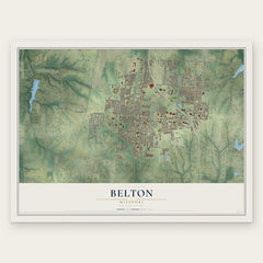
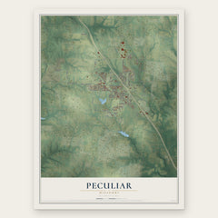
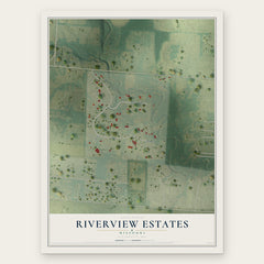
More maps nearby: Lake Winnebago, Grandview, Greenwood, Loch Lloyd and Lee's Summit.
The art of mapping a place
How This Map Was Made
Real places. Remarkable detail. Discover the layers that turn geographic data into a map of home.

The view from above
Aerial imagery reveals the character of the land: woodland, open fields, and the patterns of a place.

The shape of the land
Elevation data brings hills, valleys, and subtle changes in the landscape into view.

The details of home
Roads, waterways, and building footprints come together to make the map feel unmistakably local.

Geography becomes art
Considered color, shading, and typography bring the layers together in a map made for your wall.


Process illustrated with Mendon, Massachusetts. Aerial imagery: USDA NAIP. Terrain: USGS 3D Elevation Program. Map details and finished artwork: KNOWOL.
The Details
About This Print
Choose an archival matte print, or a black or white Ayous wood frame. The archival matte print is unframed.
Select your size and finish above to see the matching product image and price.
Materials & Craftsmanship
A contemporary map with the character of a classic atlas, printed on archival matte paper. Optional frames are made from Ayous wood.
Your printed map does not include the watermark shown in the full-map preview.
Shipping & Delivery
Free shipping within the United States. Every print is made to order in the USA.
Buying a gift? Add a note in your cart and we'll include it. We never put prices in the package.
Prints ship within 2 to 3 business days. Allow 7 to 10 days total from ordering for delivery. Timing may vary during holidays or periods of high order volume.
Read our shipping policy.
Returns and damaged prints
Each print is made to order. Change-of-mind refunds are not available after production.
If your print arrives damaged, misprinted or incorrect, contact support@knowol.com within 30 days of receiving it. Include your order number, photos and a description of the issue.
Read our full refund and replacement policy. For questions about your order, email support@knowol.com.