
Search for another town
Free U.S. delivery 7 to 10 days after you order
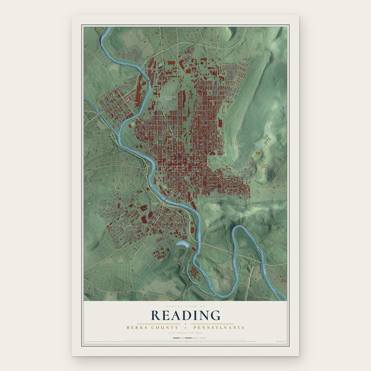
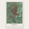
Reading, Berks County, Pennsylvania Map Art
Building by building, with labeled streets and shaded relief.
12" x 18" Archival Matte Print
A Map of Home. A Work of Art.
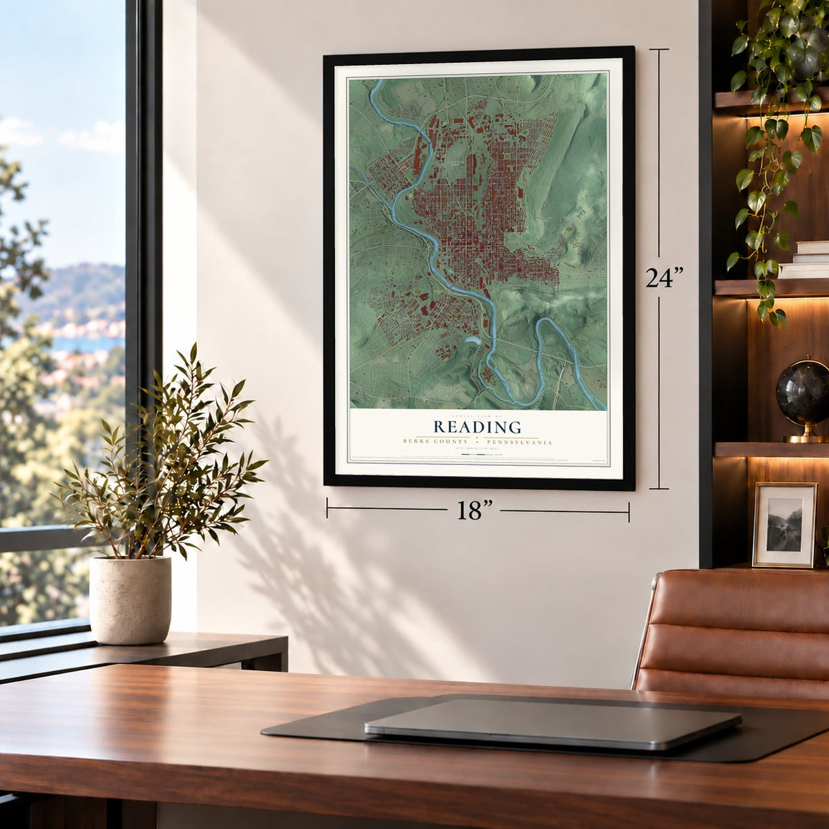
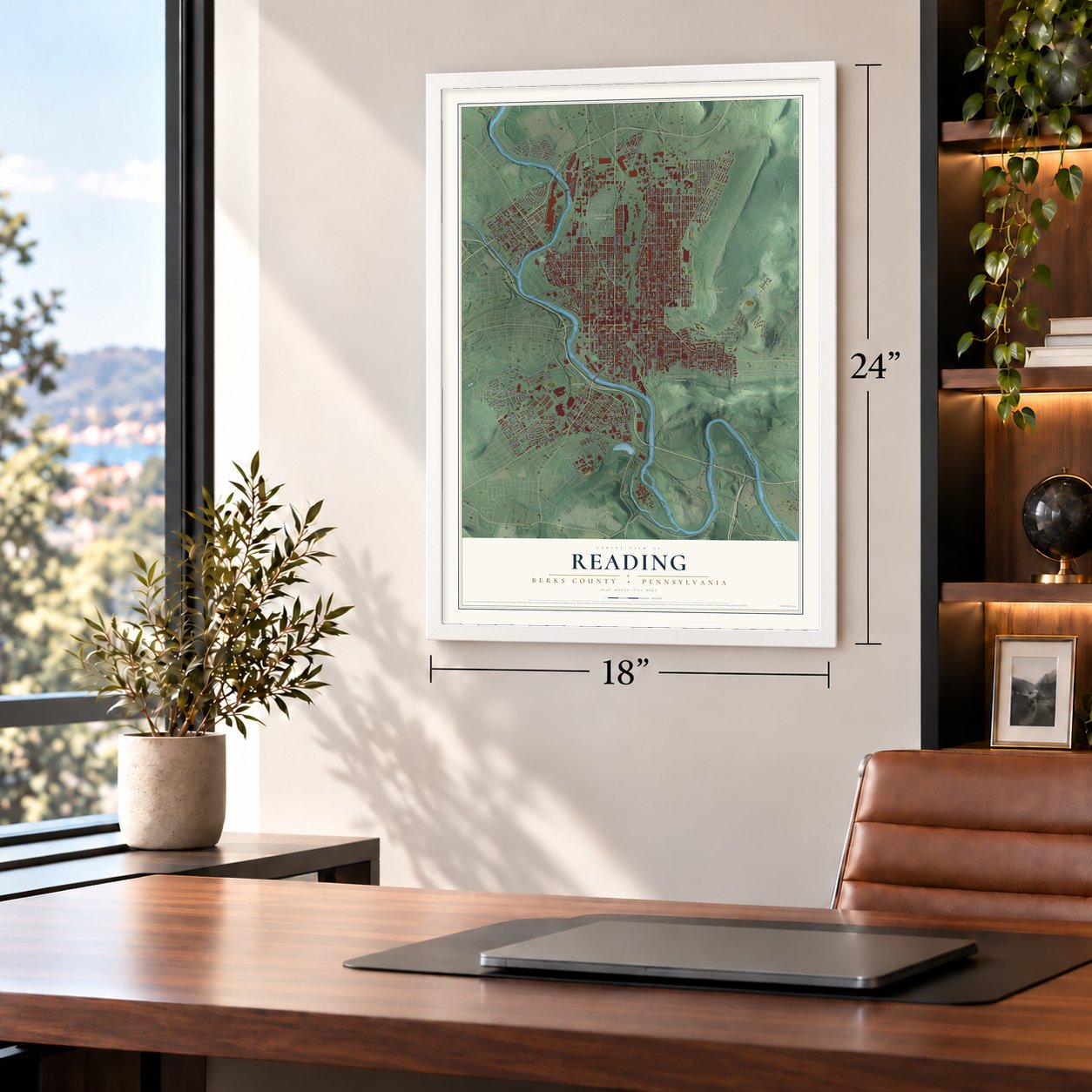
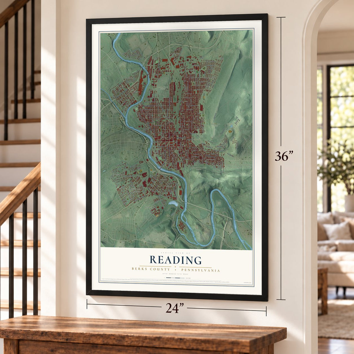
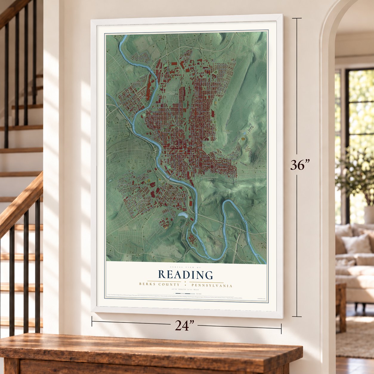
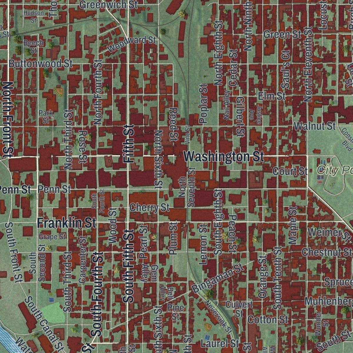
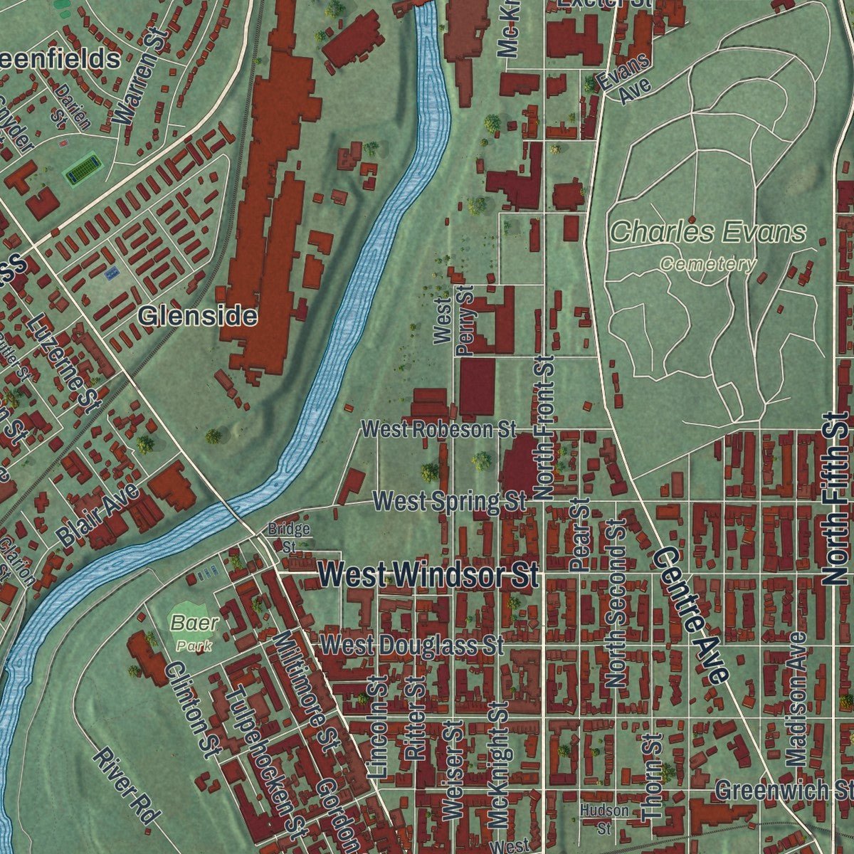
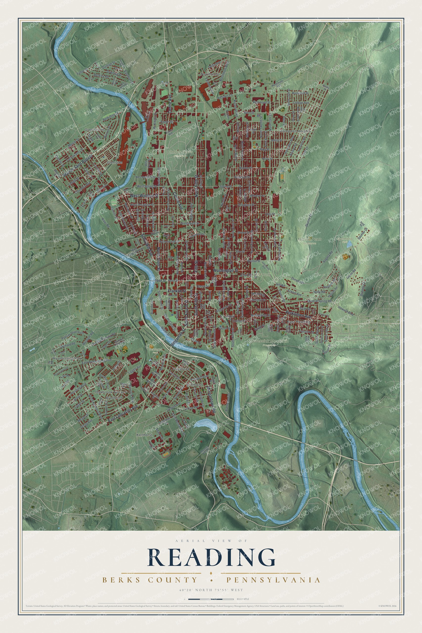
Explore Reading, Berks County, Pennsylvania from a whole new perspective. Created using aerial imagery and detailed geographic data, this map captures Reading building by building, with labeled streets, familiar landmarks, and shaded topographical relief that highlights the natural contours of the landscape.
Combining modern data with the timeless character of a vintage atlas, this map is just as interesting up close as it is beautiful on the wall. Whether you grew up in Reading, spent memorable years there, or call it home today, this unique map is a great way to celebrate a place that means something to you. Zoom in on the preview to look for your street, and then order a print to put your memories on the wall.
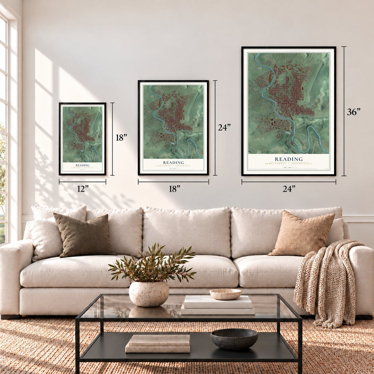
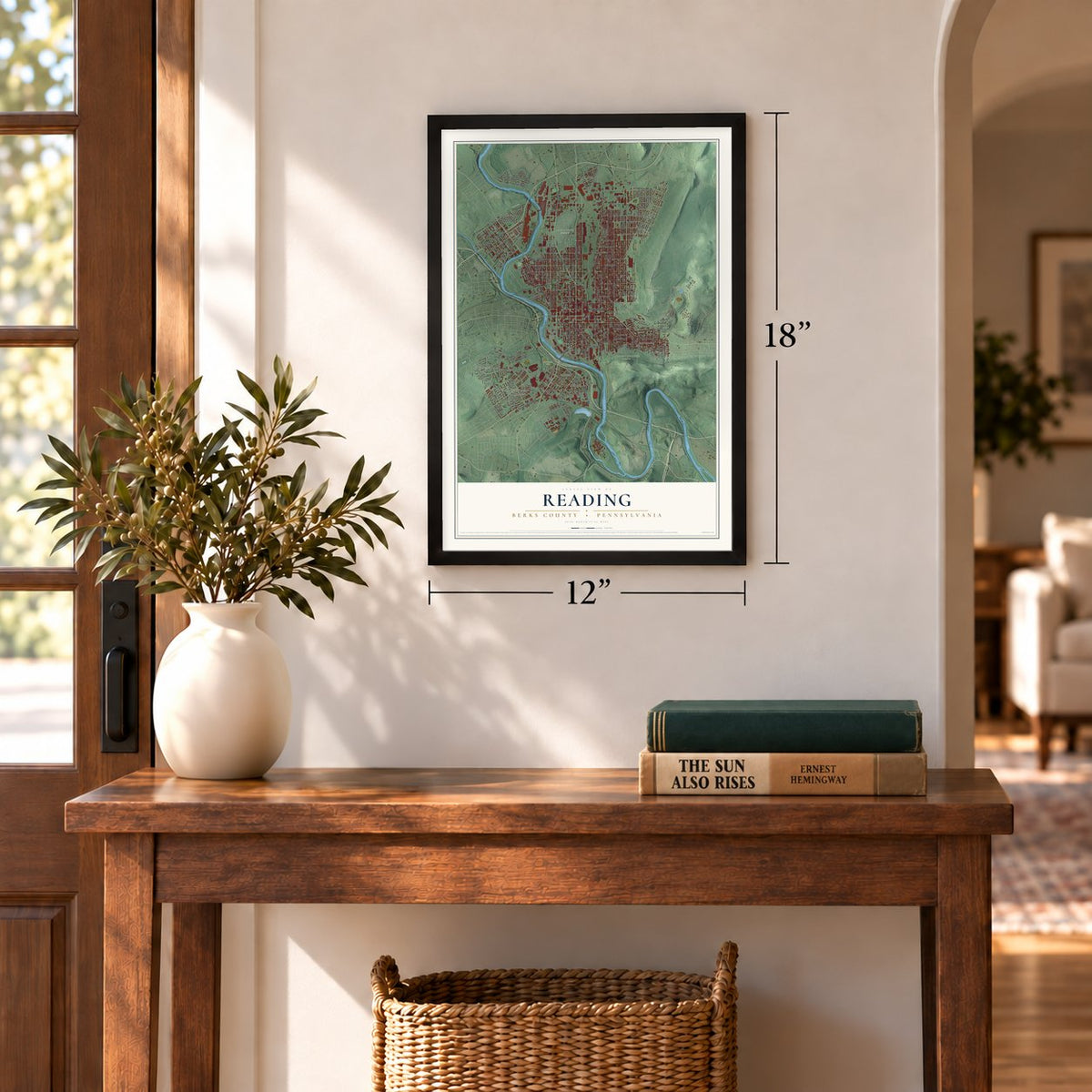
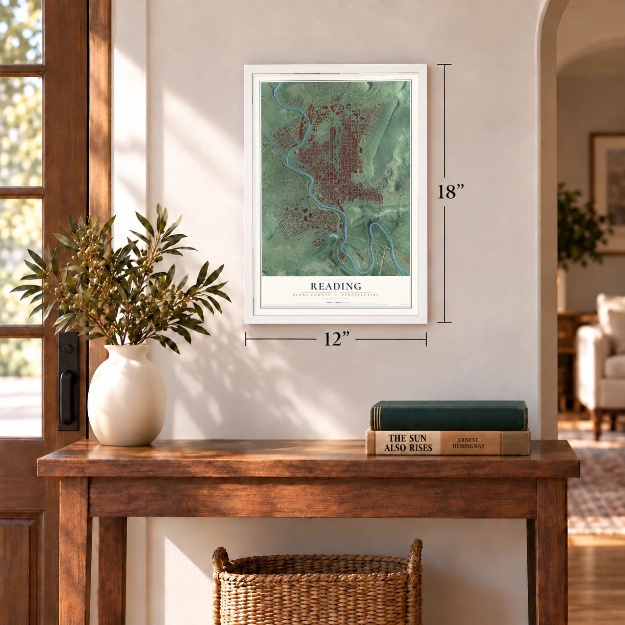
Three ways to hang it
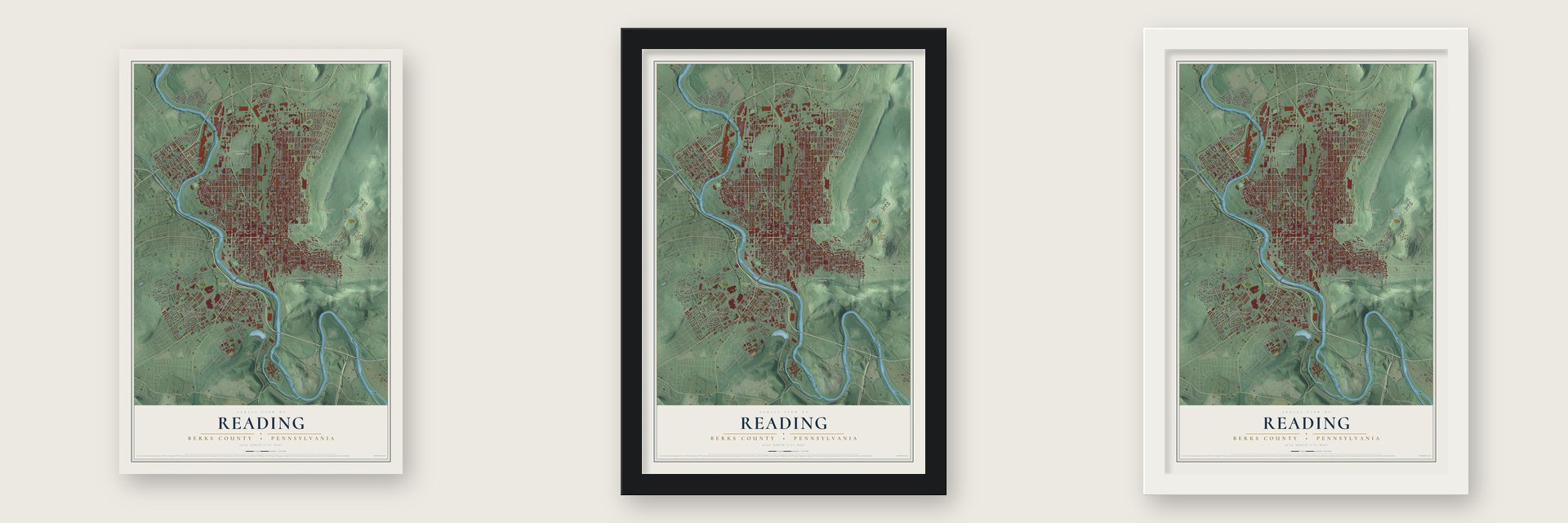
Unframed archival matte, a black wood frame or a white wood frame.
Up close
Geography Worth Displaying
This map was created using accurate cartographic data and authoritative geographic sources, including the U.S. Geological Survey and the Census Bureau. The map brings together terrain, waterways, roads, and building detail. The majority of the streets are labeled, houses are accurately depicted, and the topography is derived from government sources. Combining local data with carefully composed color and shading leads to this beautifully detailed Reading artwork for your wall.
Rather than simply showing street outlines, we’ve included as many of the street names as we could reasonably fit on the map while keeping their names legible. Zoom in on the high resolution preview to see exactly what’s on the map. We truly set out to create a statement piece for anyone who loves Reading. So whether it’s for you, or a gift for someone you love, we hope this map of Reading brings back fond memories.
Read the story behind this map of Reading, Berks County, Pennsylvania from 2026.
Find your street
Names on the Reading map
Every name below is printed on this map. Look for your street, your school, the park where you played, or the pond down the road.
Places and landmarks19
- Charles Evans Cemetery
- City Park
- Egelman's Park
- Mount Penn Preserve
- Neversink Mountain Preserve
- Pendora Park
- Schlegel Park
- Baer Park
- Brookline
- East Reading
- Glenside
- Greenfields
Show all 19 places
- Hampden Heights
- Kenhorst
- Millmont
- Northmont
- Oakbrook
- Oakbrook Terrace
- Wyomissing Park
Streets and roads264
- Washington Street
- North Front Street
- South Fourth Street
- North Fifth Street
- Fifth Street
- South Fifth Street
- Bingaman Street
- West Windsor Street
- Centre Avenue
- Schuylkill Avenue
- East Lancaster Avenue
- Morgantown Road
- Franklin Street
- Perkiomen Avenue
- Warren Saint Bypass
- North Eleventh Street
- Spruce Street
- Penn Street
- Richmond Street
- South Front Street
- Durham Street
- Canal Street
- North Second Street
- North Sixth Street
- Chestnut Street
- East Wyomissing Boulevard
- North Ninth Street
- Museum Road
- Eastman Street
- Mineral Spring Road
Show all 264 streets
- South Sixth Street
- South 19th Street
- Gordon Street
- Hampden Boulevard
- Buttonwood Street
- Marion Street
- North Kenhorst Boulevard
- Hiesters Lane
- River Road
- North Tenth Street
- North 13th Street
- North Twelfth Street
- Moss Street
- Mulberry Street
- Locust Street
- Hill Road
- Bern Street
- Duryea Drive
- Pear Street
- Walnut Street
- Church Street
- Greenwich Street
- Spring Street
- Elm Street
- North Fourth Street
- North Third Street
- Oley Street
- Alsace Road
- North Eighth Street
- Gregg Avenue
- Clover Street
- Muhlenberg Street
- Douglass Street
- Cotton Street
- Windsor Street
- Pike Street
- Rockland Street
- East Linden Street
- Court Street
- Lorraine Road
- Robeson Street
- North 14th Street
- Exeter Street
- Liggett Avenue
- South Ninth Street
- Old Wyomissing Road
- Amity Street
- Madison Avenue
- Cherry Street
- Birch Street
- Perry Street
- McKnight Street
- Skyline Drive
- Angora Road
- Saint Bernadine Street
- Thorn Street
- Lehigh Street
- Scott Street
- Arlington Street
- Riverfront Drive
- Mercer Street
- Meade Street
- Rose Street
- Glenn Road
- Weiser Street
- Upland Avenue
- Lackawanna Street
- Oak Lane
- Eckert Avenue
- Miltimore Street
- Green Street
- Fairview Street
- Palm Street
- Clymer Street
- South Tenth Street
- Cedar Street
- South Seventh Street
- South 18th Street
- Pershing Boulevard
- Luzerne Street
- Chester Street
- North 15th Street
- Brentwood Drive
- Berkley Road
- Pearl Street
- Carroll Street
- Columbia Avenue
- Park Avenue
- Blair Avenue
- Summit Avenue
- Maple Street
- West Douglass Street
- Fern Avenue
- South Third Street
- Steuben Road
- Tulpehocken Street
- Olive Street
- Wood Street
- Nicolls Street
- Kutztown Road
- South Street
- Downing Street
- Minor Street
- Mc Knight Street
- Northmont Boulevard
- Carbon Street
- Orrton Avenue
- South Eighth Street
- Ritter Street
- Lincoln Street
- Laurel Street
- College Avenue
- Orange Street
- Hancock Boulevard
- Clinton Street
- Brookline Street
- Fairmont Avenue
- Reed Street
- Orchard Road
- Warren Street
- Haak Street
- Queens Court
- Joan Terrace
- South Canal Street
- North Mill Street
- Farr Road
- West Spring Street
- Poplar Street
- Berkshire Drive
- Market Place
- Saul's Court
- Howard Boulevard
- Patton Street
- South 14th Street
- Logan Street
- Fulton Street
- Delta Avenue
- Prospect Avenue
- Gilbert Street
- Holly Road
- Water Street
- Peach Street
- Lemon Street
- Adams Street
- Weimer Street
- Farr Place
- Spuhler Drive
- Plum Street
- Pansy Street
- Paul Street
- Erie Street
- South Second Street
- Evans Avenue
- Highland Street
- West Buttonwood Street
- West Robeson Street
- Union Street
- Parkside Drive South
- Crestmont Street
- Deharts Court
- Brookline Plaza
- Carpenter Street
- Hessian Road
- Mill Street
- North 16th Street
- South 13th Street
- Culvert Street
- Greenway Terrace
- North Birch Street
- Monroe Street
- Pine Street
- Newport Avenue
- Angelica Street
- Elder Street
- Gerry Street
- Hazel Street
- West Perry Street
- South 15th Street
- Summit Chase Drive
- Lombard Street
- Woodward Street
- William Lane
- Berks Street
- Burnside Avenue
- Rosemont Avenue
- North Seventh Street
- Gem Alley
- Snyder Street
- North Noble Street
- North Grace Street
- Miller Street
- Ivy Road
- Eastman Road
- Bartlett Street
- South 17th Street
- Wunder Street
- Clarion Street
- West Green Street
- Bornemann Road
- High Street
- Neversink Street
- Nail Alley
- Colston Avenue
- Rose Virginia Road
- West Cartech Road
- Haag Road
- Darien Street
- Forrest Street
- Mountain View Road
- West Berton Street
- Grape Street
- Beverly Place
- Beech Street
- Lance Place
- Bell Alley
- Park Street
- Lowrie Street
- Cathedral Street
- Margaret Street
- Butler Street
- Constitution Boulevard
- Alton Avenue
- North Carroll Street
- Johnson Street
- Barberry Road
- Garden Lane
- Justice Avenue
- Good Street
- North Angelica Street
- Vine Street
- Hudson Street
- Elkton Street
- Bridge Street
- Wool Alley
Names are listed as they appear on the printed map. Zoom into the product photos to find them.
About Reading, Berks County, Pennsylvania
Reading is a city of 95,112 people and the seat of Berks County, set between the Schuylkill River on the west and Mount Penn on the east. In 1743 Richard and Thomas Penn, two sons of William Penn, worked with Conrad Weiser to lay out the town. It was founded in 1748 and named for Reading in Berkshire, England. When Berks County was created in 1752, Reading became its county seat.
Most early settlers came from southern and western Germany and bought their land from the Penns, and Pennsylvania Dutch was still spoken here into the 1950s. The Schuylkill Canal opened a water route to Philadelphia in 1825, and the Union Canal ran west toward Middletown by 1828, but railroads had replaced both by the 1880s. The Philadelphia and Reading Railroad, incorporated in 1833, hauled anthracite coal to East Coast markets for more than a century. It went bankrupt in 1971 and sold its rail lines to Conrail on April 1, 1976.
“With men enlisted from Berks County, Nagel's Company was a part of the first battalion in the colonies authorized by Congress, in June 1775. After gathering at Reading the following month, this company and other companies of the battalion marched approximately 350 miles in order to join the American siege of Boston.”
- Iron for the RevolutionBy the time of the Revolution, the area's ironworks were turning out more iron than all of England. Ironmasters such as Samuel Van Leer made cannons, rifles and ammunition for George Washington's troops. Reading also served as a supply depot, and Hessian soldiers captured at the Battle of Trenton were held prisoner here.
- Almost the capital in 1793Yellow fever struck Philadelphia in 1793, while it was still the nation's capital. President George Washington traveled to Reading and thought about making it the emergency capital. In the end he chose Germantown, closer to Philadelphia.
- The Pretzel CityReading got its nickname from the many pretzel bakeries in the city and its suburbs.
- Updike, Stevens and HaringThe novelist and poet John Updike, the poet Wallace Stevens, the artist Keith Haring, the graphic artist Jim Steranko and the guitarist Richie Kotzen were all born in Reading. John Philip Sousa, the March King, died at the Hotel Abraham Lincoln in 1932. Jackie Gleason started his career in 1935 at Tiny's Chateau Nightclub, inside the Black Bear Inn.
- An anchor from the MaineCity Park, off Perkiomen Avenue, holds an anchor from the Battleship Maine. The Navy shipped it to Reading from its Washington yard in 1914. Franklin D. Roosevelt, who was assistant secretary of the navy at the time, led the dedication ceremony.
Keep exploring Pennsylvania
Reading is one of 3,725 Pennsylvania towns we've mapped. Every dot on the map is a print of its own.
The search covers every state, Pennsylvania first.
Near Reading
Order 2 or more town maps and save 10%. Shown in the size and finish you picked above, so they hang as a set.
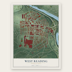
- West Reading 12" x 18" / Archival Matte Print $39.99
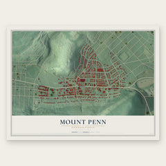
- Mount Penn 12" x 18" / Archival Matte Print $39.99
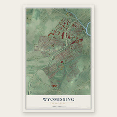
- Wyomissing 12" x 18" / Archival Matte Print $39.99
More maps nearby: Lower Alsace, Greenfields, Kenhorst, Pennside and Grill.
The art of mapping a place
How This Map Was Made
Real places. Remarkable detail. Discover the layers that turn geographic data into a map of home.

The view from above
Aerial imagery reveals the character of the land: woodland, open fields, and the patterns of a place.

The shape of the land
Elevation data brings hills, valleys, and subtle changes in the landscape into view.

The details of home
Roads, waterways, and building footprints come together to make the map feel unmistakably local.

Geography becomes art
Considered color, shading, and typography bring the layers together in a map made for your wall.


Process illustrated with Mendon, Massachusetts. Aerial imagery: USDA NAIP. Terrain: USGS 3D Elevation Program. Map details and finished artwork: KNOWOL.
The Details
About This Print
Choose an archival matte print, or a black or white Ayous wood frame. The archival matte print is unframed.
Select your size and finish above to see the matching product image and price.
Materials & Craftsmanship
A contemporary map with the character of a classic atlas, printed on archival matte paper. Optional frames are made from Ayous wood.
Your printed map does not include the watermark shown in the full-map preview.
Shipping & Delivery
Free shipping within the United States. Every print is made to order in the USA.
Buying a gift? Add a note in your cart and we'll include it. We never put prices in the package.
Prints ship within 2 to 3 business days. Allow 7 to 10 days total from ordering for delivery. Timing may vary during holidays or periods of high order volume.
Read our shipping policy.
Returns and damaged prints
Each print is made to order. Change-of-mind refunds are not available after production.
If your print arrives damaged, misprinted or incorrect, contact support@knowol.com within 30 days of receiving it. Include your order number, photos and a description of the issue.
Read our full refund and replacement policy. For questions about your order, email support@knowol.com.