
Search for another town
Free U.S. delivery 7 to 10 days after you order
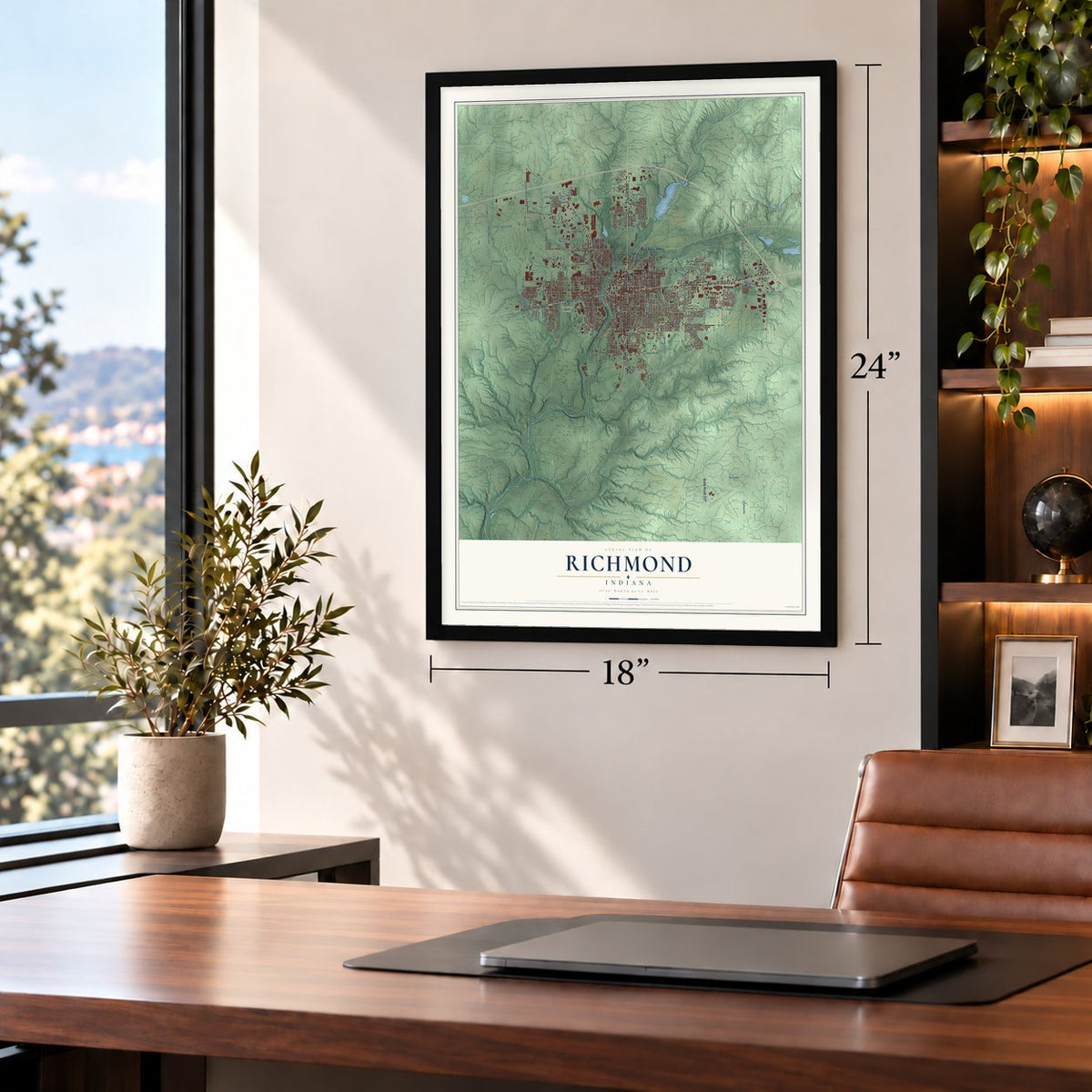
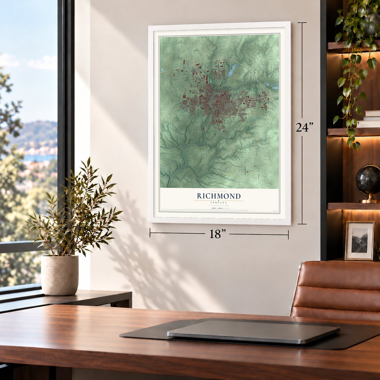
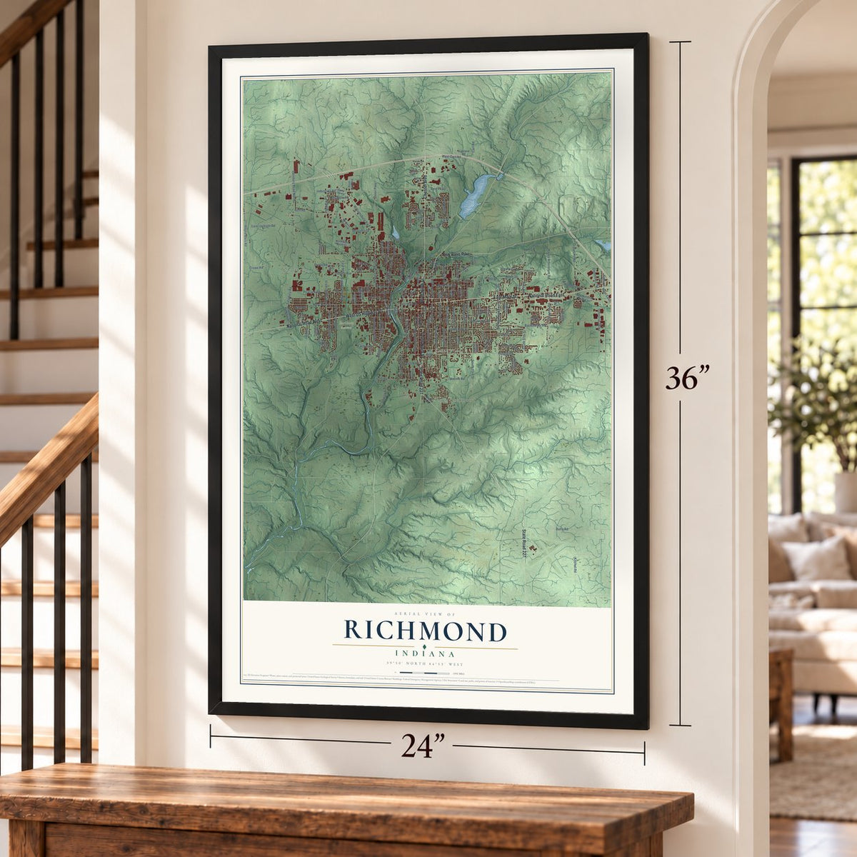
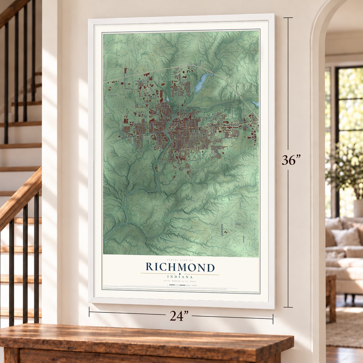
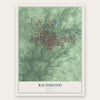
Richmond, Indiana Map Art
Building by building, with labeled streets and shaded relief.
12" x 18" Archival Matte Print
A Map of Home. A Work of Art.
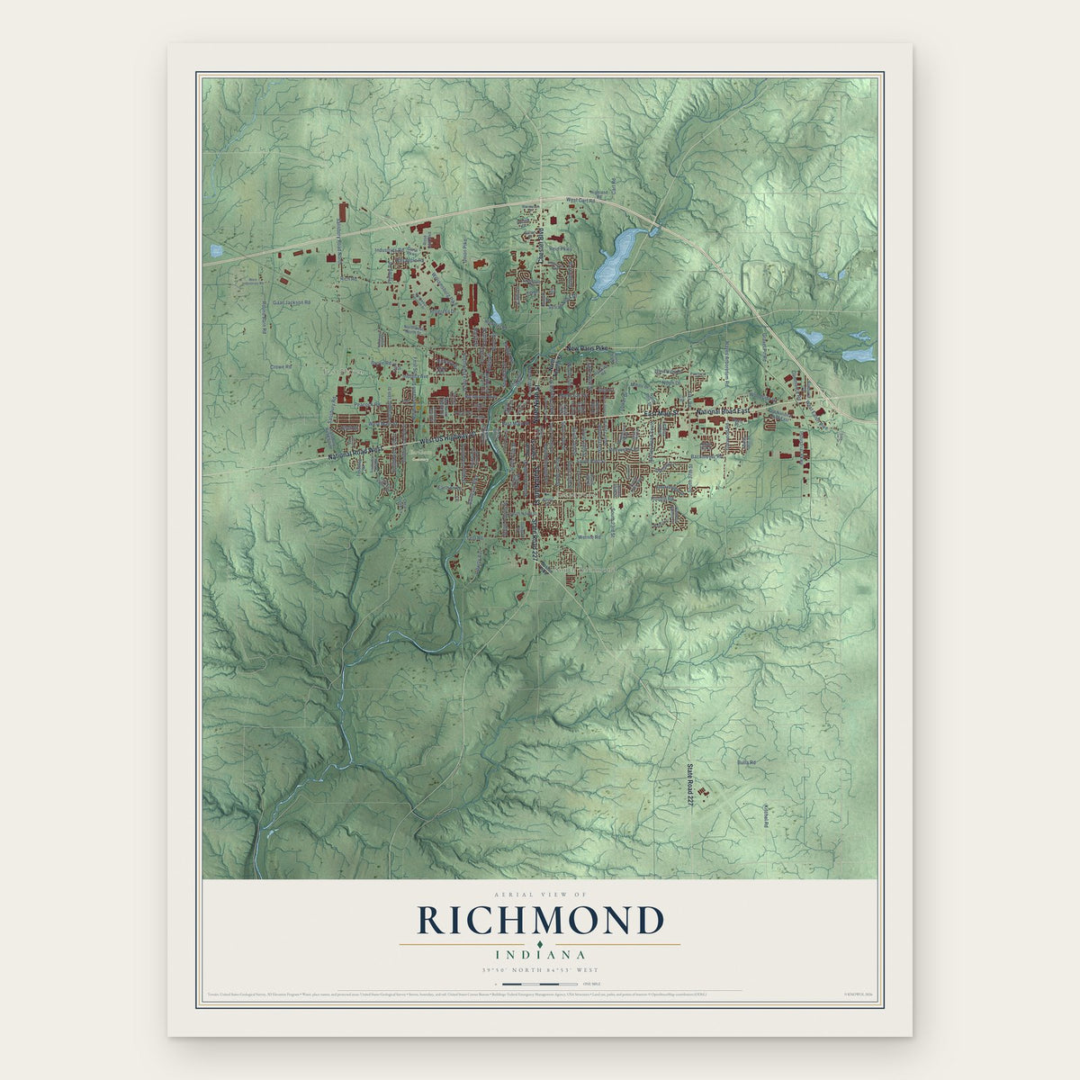
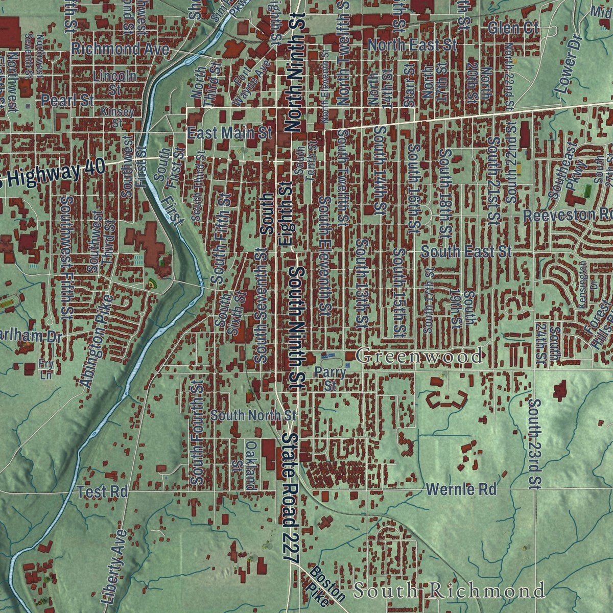
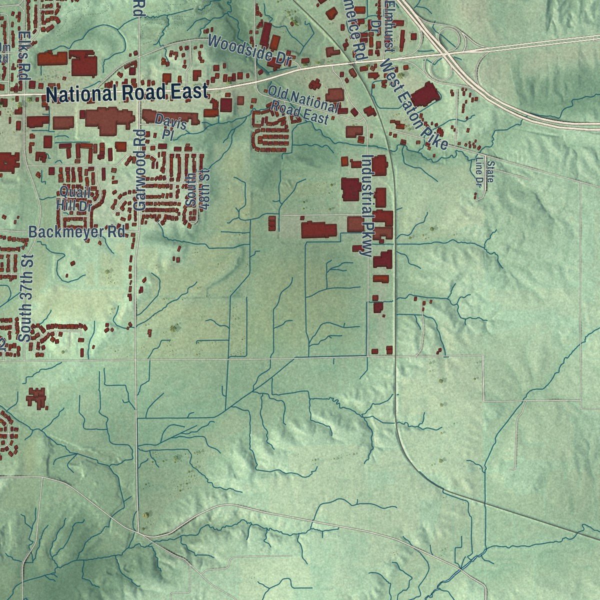
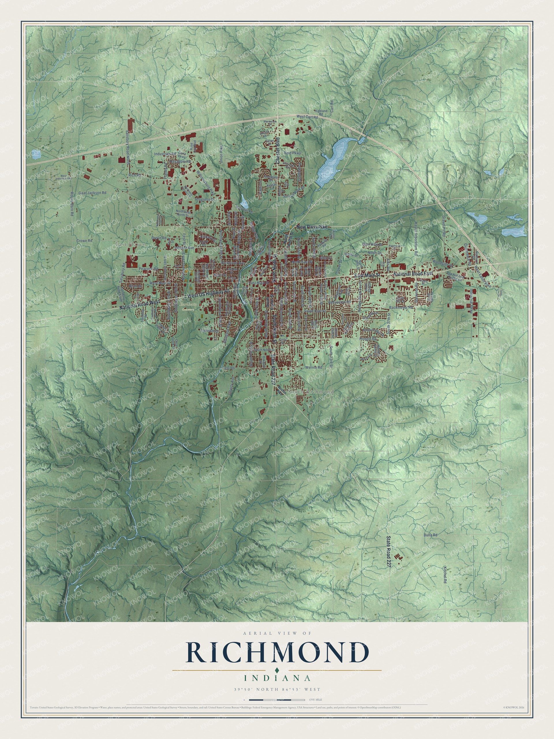
Explore Richmond, Indiana from a whole new perspective. Created using aerial imagery and detailed geographic data, this map captures Richmond building by building, with labeled streets, familiar landmarks, and shaded topographical relief that highlights the natural contours of the landscape.
Combining modern data with the timeless character of a vintage atlas, this map is just as interesting up close as it is beautiful on the wall. Whether you grew up in Richmond, spent memorable years there, or call it home today, this unique map is a great way to celebrate a place that means something to you. Zoom in on the preview to look for your street, and then order a print to put your memories on the wall.
Three ways to hang it
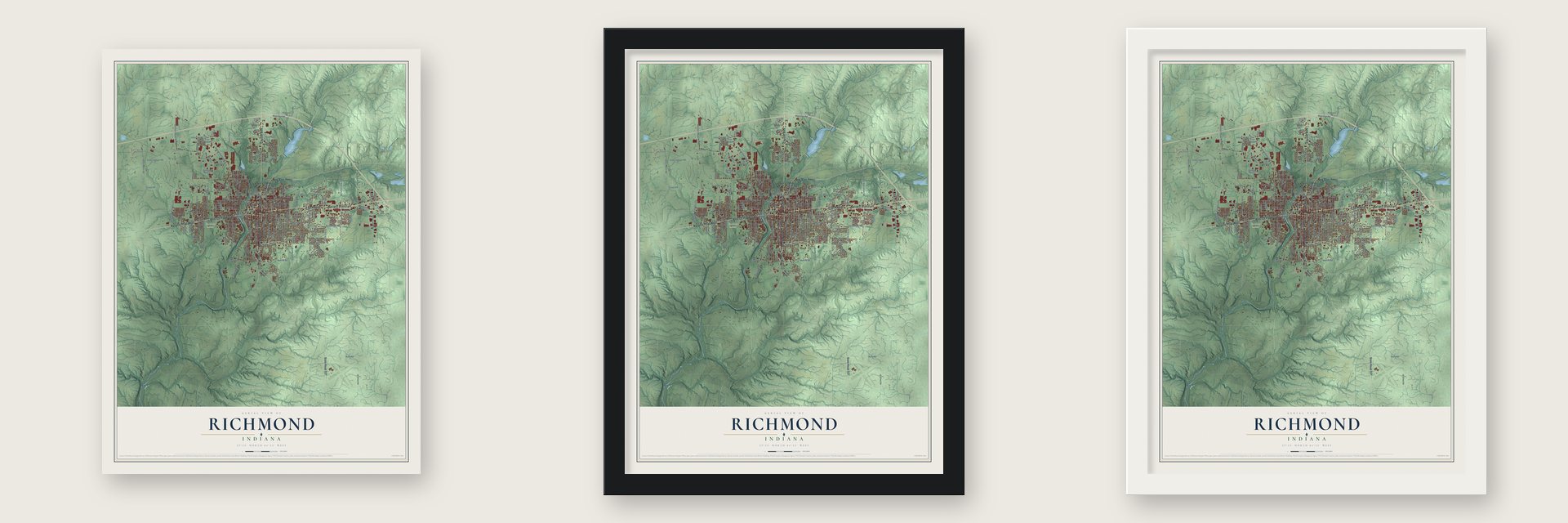
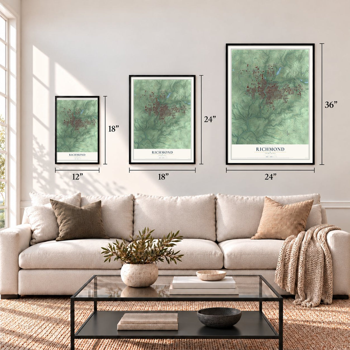
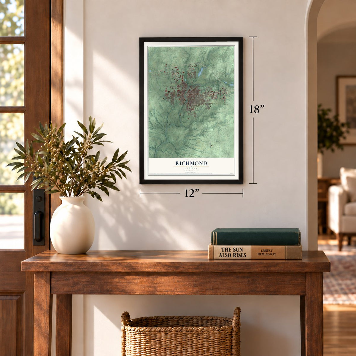
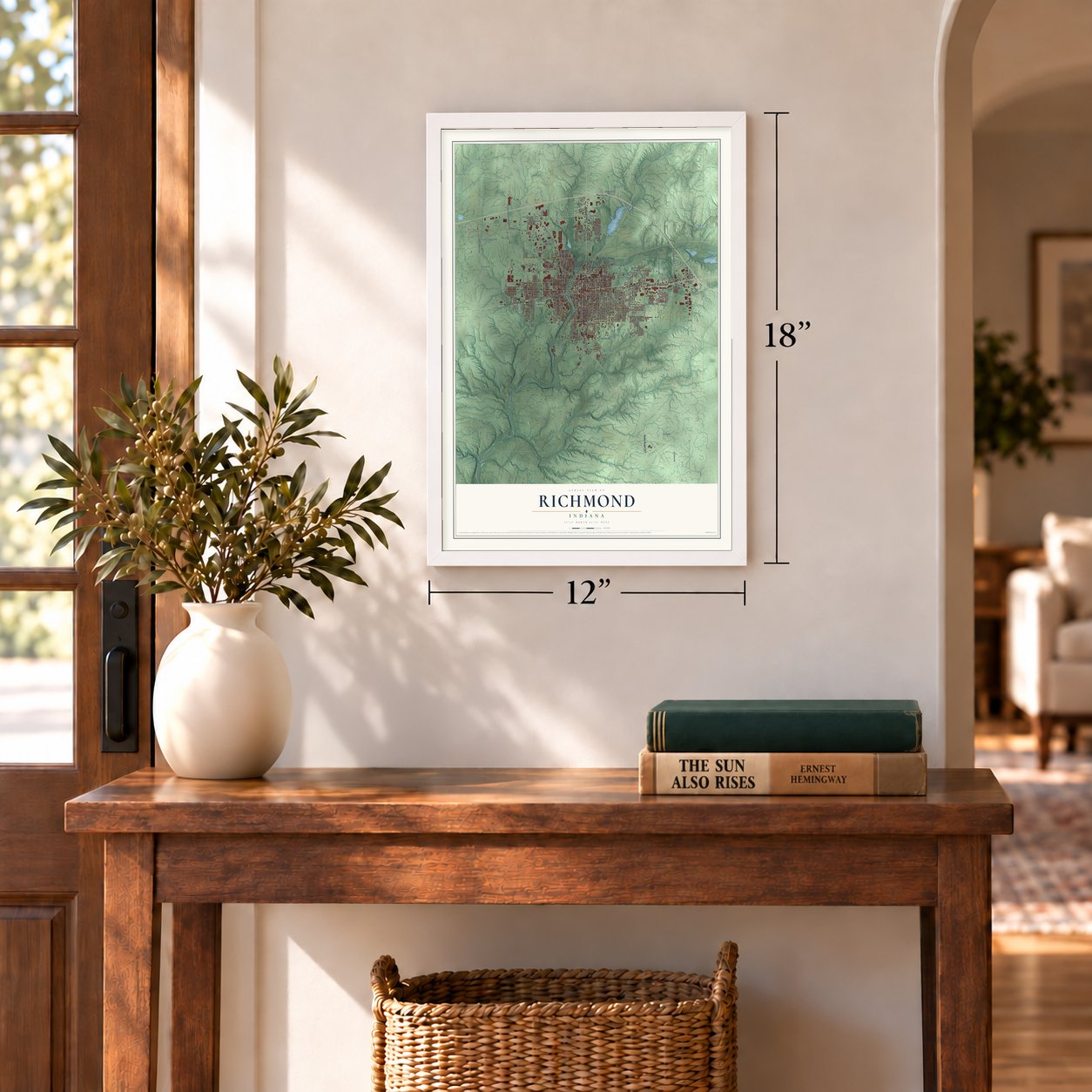
Unframed archival matte, a black wood frame or a white wood frame.
Up close
Geography Worth Displaying
This map was created using accurate cartographic data and authoritative geographic sources, including the U.S. Geological Survey and the Census Bureau. The map brings together terrain, waterways, roads, and building detail. The majority of the streets are labeled, houses are accurately depicted, and the topography is derived from government sources. Combining local data with carefully composed color and shading leads to this beautifully detailed Richmond artwork for your wall.
Rather than simply showing street outlines, we’ve included as many of the street names as we could reasonably fit on the map while keeping their names legible. Zoom in on the high resolution preview to see exactly what’s on the map. We truly set out to create a statement piece for anyone who loves Richmond. So whether it’s for you, or a gift for someone you love, we hope this map of Richmond brings back fond memories.
Read the story behind this map of Richmond, Indiana from 2026.
Find your street
Names on the Richmond map
Every name below is printed on this map. Look for your street, your school, the park where you played, or the pond down the road.
Places and landmarks4
- East Haven
- South Richmond
- Greenwood
- Earlham Cemetery
Streets and roads169
- West US Highway 40
- East Main Street
- National Road East
- South Ninth Street
- North Ninth Street
- Chester Boulevard
- New Paris Pike
- State Road 227
- National Road West
- Garwood Road
- Hayes Arboretum Road
- South 16th Street
- Bridge Avenue
- Lower Drive
- North Drive
- North East Street
- Glen Court
- Williamsburg Pike
- Wernle Road
- Indiana Avenue
- Sheridan Street
- North Twelfth Street
- Hickory Drive
- Industries Road
- Northwest Fifth Street
- West Eaton Pike
- Salisbury Road
- Salisbury Road North
- Hodgin Road
- West Main Street
Show all 169 streets
- South 13th Street
- South East Street
- Liberty Avenue
- Peacock Road
- South 14th Street
- South Fifth Street
- Henley Road South
- South 23rd Street
- Round Barn Road
- Gaar Jackson Road
- South Seventh Street
- Industrial Parkway
- South 21st Street
- Rich Road
- South 15th Street
- South 37th Street
- Union Pike
- South Eleventh Street
- South Fourth Street
- Richmond Avenue
- Backmeyer Road
- Crowe Road
- Southwest 15th Street
- Gravel Pit Road
- Woodside Drive
- West Cart Road
- Reeveston Road
- Bulla Road
- Progress Drive
- Reid Parkway
- South 18th Street
- Southwest Fifth Street
- Elks Road
- Grove Road
- North 19th Street
- North 15th Street
- Ridge Street
- Northwest 13th Street
- Boyer Street
- Hunt Street
- Abington Pike
- Flatley Road
- Sylvan Nook Drive
- Southwest 17th Street
- Dorothy Lane
- Earlham Drive
- Cart Road
- Kitchel Road
- Harris Street
- Parkdale Drive
- Glen Hills Drive
- Holsapple Road
- Pearl Street
- Commerce Road
- Capri Lane
- First Street
- Birch Drive
- Ratliff Street
- Test Road
- First
- South Eighth Street
- South First Street
- Northwest North Street
- South 32nd Street
- Northwest 18th Street
- North 30th Street
- Court Road
- South Sixth Street
- South Twelfth Street
- South 19th Street
- Southwest First Street
- Southeast Parkway
- South 22nd Street
- North 20th Street
- North 17th Street
- Southwest Third Street
- South 24th Street
- Salisbury Road South
- Breckenridge Drive
- Old National Road East
- Northwest Second Street
- North Eighth Street
- Locust Drive
- Hidden Valley Drive
- South North Street
- Hunters Pointe Drive
- North 14th Street
- Central Drive
- North Third Street
- Middle Drive
- South 48th Street
- Forest Hills Boulevard
- Rose City Boulevard
- Northwest Eighth Street
- Highland Road
- Crestdale Drive
- Toschlog Road
- Lincoln Street
- Waterfall Road
- Elmhurst Drive
- Keyser Lane
- Clear Creek Lane
- Parry Street
- Starr Street
- Dillon Drive
- Hawkins Road
- Oakland Street
- Davis Place
- Dana Parkway
- Third Street
- Quail Hill Drive
- Boston Pike
- Fort Wayne Avenue
- North 24th Street
- South Third Street
- South Tenth Street
- Sim Hodgin Parkway
- Northwest Eleventh Street
- South 17th Street
- University Boulevard
- South 27th Street
- North 22nd Street
- Northwest 20th Street
- Southwest 21st Street
- West Industries Road
- Kinsey Street
- Waverly Drive
- Mendelson Drive
- Northwest Tenth Street
- Pinehurst Drive
- Elm Road
- East Drive
- Fry Lane
- State Line Drive
- North Eleventh Street
- Northwest Seventh Street
- Grace Drive
- Kensington Drive
- Hillcrest Avenue
Names are listed as they appear on the printed map. Zoom into the product photos to find them.
About Richmond, Indiana
Richmond is a city of 35,720 people on Indiana's border with Ohio, and it is the seat of Wayne County. Quaker families from North Carolina came in 1806 and made their homes on the East Fork of the Whitewater River. Two early settlers, John Smith and Jeremiah Cox, each started a town: Smithville, and Coxborough, which some called Jericho.
In 1818 the two towns joined and incorporated as Richmond, a name thought to come from the area's rich soil. Robert Morrison became the first postmaster that same year. Richmond became a city in 1840 and elected John Sailor as its first mayor. Quaker institutions still shape the city, among them Earlham College and Friends United Meeting, which has its headquarters here.
- Cradle of recorded jazzGennett Records, part of the Starr Piano Company, made some of the earliest jazz records at its Richmond studio. Louis Armstrong recorded there for the first time while playing with King Oliver's Creole Jazz Band, and Hoagy Carmichael made his first recording of "Stardust" there.
- A movie in a jewelry storeCharles Francis Jenkins, who grew up on a farm north of town, invited family, friends and reporters to his cousin's jewelry store downtown on June 6, 1894. There he projected a film he had shot himself, of a vaudeville performer doing a butterfly dance. It was the first time a filmed motion picture was shown to an audience. His Phantoscope projector was patented in March 1895, and a modified version, sold to Thomas Edison, became the Vitascope.
- The schoolhouse behind EarlhamThe Friends ran the first church schools in town. John Smith gave Richmond its public square, and the Friends built a meetinghouse on it, which the town later bought and used as a school until 1869. A brick schoolhouse went up beside the yearly meeting house, and its first teacher, Isaac Hiatt, taught surveying and advanced subjects. His push for higher learning started the idea that grew into Earlham College.
- Rose City, lawnmower capitalHill's Roses grew so many varieties here, in greenhouses covering about 34 acres, that Richmond became known as the Rose City, and a yearly Rose Festival honored the trade. Makers such as Davis, Motomower, Dille-McGuire and F&N made it the lawnmower capital from the late 19th century to the mid-20th. Wayne Works, later Wayne Corporation, built school buses here until it closed in 1992.
- April 6, 1968A natural gas leak set off an explosion downtown on April 6, 1968. The blast destroyed or damaged several blocks, killed 41 people and injured more than 150. Esther Kellner later compiled the civil defense account of that day in the book Death in a Sunny Street.
Keep exploring Indiana
Richmond is one of 1,023 Indiana towns we've mapped. Every dot on the map is a print of its own.
The search covers every state, Indiana first.
Near Richmond
Order 2 or more town maps and save 10%. Shown in the size and finish you picked above, so they hang as a set.
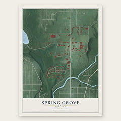
- Spring Grove 12" x 18" / Archival Matte Print $39.99
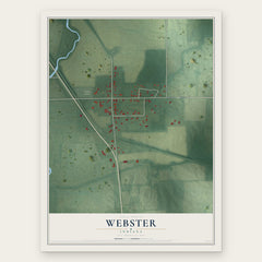
- Webster 12" x 18" / Archival Matte Print $39.99
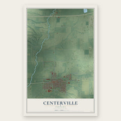
- Centerville 12" x 18" / Archival Matte Print $39.99
More maps nearby: Boston, Abington, Whitewater, Fountain City and Greens Fork.
The art of mapping a place
How This Map Was Made
Real places. Remarkable detail. Discover the layers that turn geographic data into a map of home.

The view from above
Aerial imagery reveals the character of the land: woodland, open fields, and the patterns of a place.

The shape of the land
Elevation data brings hills, valleys, and subtle changes in the landscape into view.

The details of home
Roads, waterways, and building footprints come together to make the map feel unmistakably local.

Geography becomes art
Considered color, shading, and typography bring the layers together in a map made for your wall.


Process illustrated with Mendon, Massachusetts. Aerial imagery: USDA NAIP. Terrain: USGS 3D Elevation Program. Map details and finished artwork: KNOWOL.
The Details
About This Print
Choose an archival matte print, or a black or white Ayous wood frame. The archival matte print is unframed.
Select your size and finish above to see the matching product image and price.
Materials & Craftsmanship
A contemporary map with the character of a classic atlas, printed on archival matte paper. Optional frames are made from Ayous wood.
Your printed map does not include the watermark shown in the full-map preview.
Shipping & Delivery
Free shipping within the United States. Every print is made to order in the USA.
Buying a gift? Add a note in your cart and we'll include it. We never put prices in the package.
Prints ship within 2 to 3 business days. Allow 7 to 10 days total from ordering for delivery. Timing may vary during holidays or periods of high order volume.
Read our shipping policy.
Returns and damaged prints
Each print is made to order. Change-of-mind refunds are not available after production.
If your print arrives damaged, misprinted or incorrect, contact support@knowol.com within 30 days of receiving it. Include your order number, photos and a description of the issue.
Read our full refund and replacement policy. For questions about your order, email support@knowol.com.