
Search for another town



Free U.S. delivery 7 to 10 days after you order
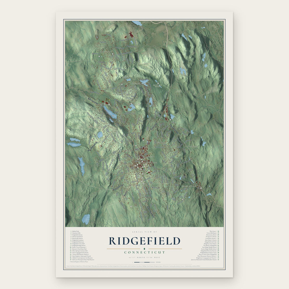
Ridgefield, Connecticut Map Art
Building by building, with labeled streets and shaded relief.
12" x 18" Archival Matte Print
A Map of Home. A Work of Art.
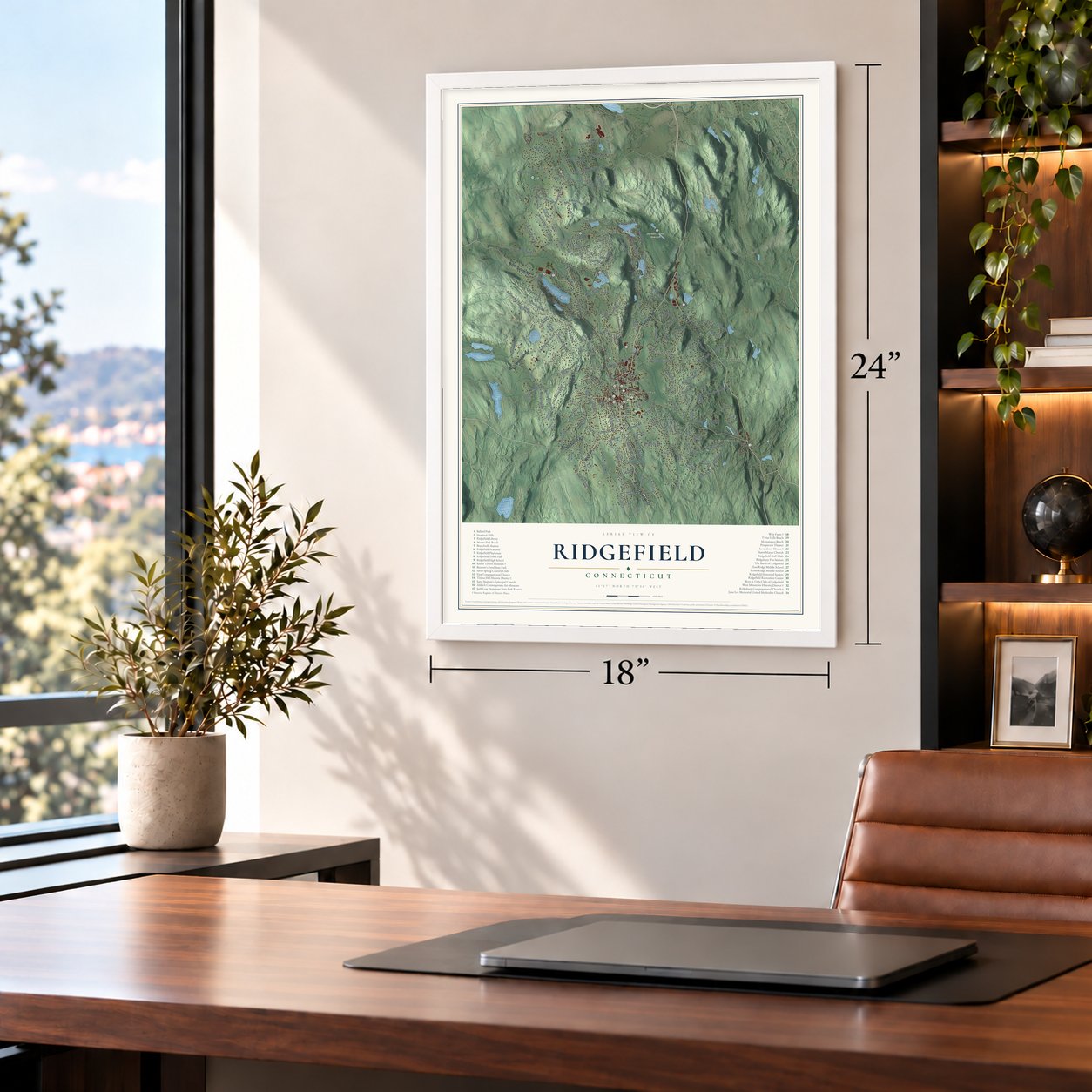
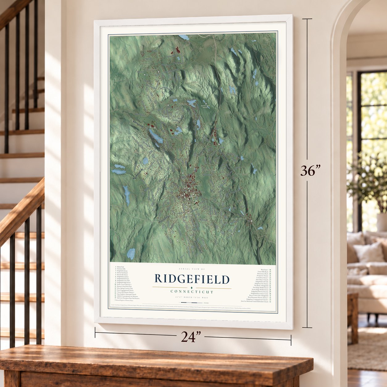
Explore Ridgefield, Connecticut from a whole new perspective. Created using aerial imagery and detailed geographic data, this map captures Ridgefield building by building, with labeled streets, familiar landmarks, and shaded topographical relief that highlights the natural contours of the landscape.
Combining modern data with the timeless character of a vintage atlas, this map is just as interesting up close as it is beautiful on the wall. Whether you grew up in Ridgefield, spent memorable years there, or call it home today, this unique map is a great way to celebrate a place that means something to you. Zoom in on the preview to look for your street, and then order a print to put your memories on the wall.

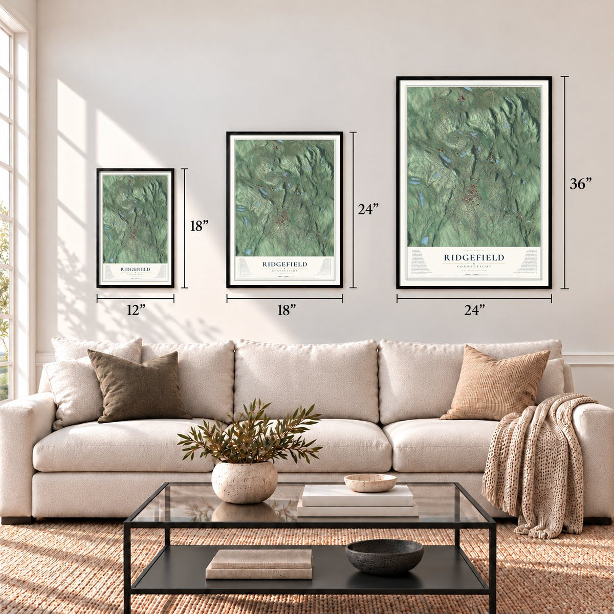
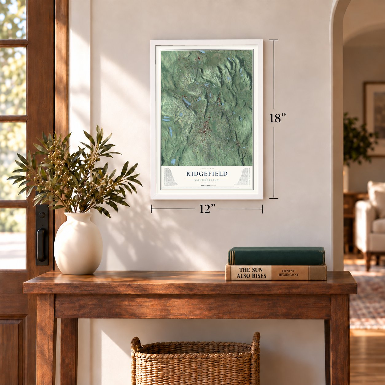
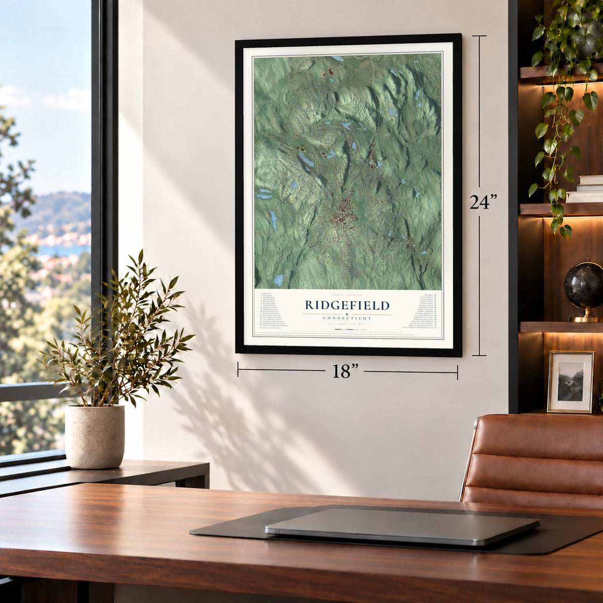
Three ways to hang it
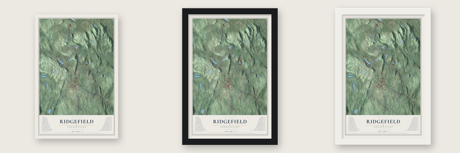
Unframed archival matte, a black wood frame or a white wood frame.
Up close
Geography Worth Displaying
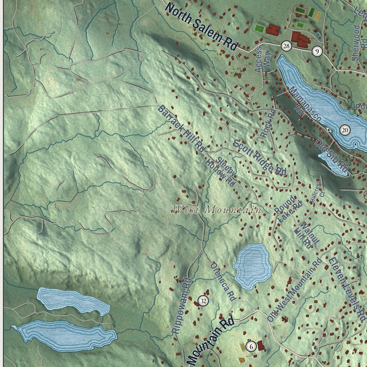
This map was created using accurate cartographic data and authoritative geographic sources, including the U.S. Geological Survey (USGS) and FEMA. The map brings together terrain, waterways, roads, and building detail. The majority of the streets are labeled, houses are accurately depicted, and the topography is derived from government sources. Combining local data with carefully composed color and shading leads to this beautifully detailed Ridgefield artwork for your wall.
Rather than simply showing street outlines, we’ve included as many of the street names as we could reasonably fit on the map while keeping their names legible. Zoom in on the high resolution preview to see exactly what’s on the map. We truly set out to create a statement piece for anyone who loves Ridgefield. So whether it’s for you, or a gift for someone you love, we hope this map of Ridgefield brings back fond memories.
Explore the full map of Ridgefield, Connecticut and read about the local places it shows.
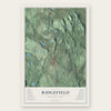
Find your street
Names on the Ridgefield map
Every name below is printed on this map. Look for your street, your school, the park where you played, or the pond down the road.
Places and landmarks12
- Pine Mountain 1007 FEET
- West Mountain
- Branchville
- Ridgebury
- Downtown
- Bennett's Pond State Park
- Levy Park
- Topstone
- Fox Hill
- Titicus
- Wataba Lake
- Casagmo
Streets and roads229
- West Lane
- Barry Avenue
- South Salem Road
- Ethan Allen Highway
- Wilton Road West
- West Mountain Road
- Danbury Road
- North Salem Road
- Farmingville Road
- High Ridge Avenue
- Ned's Mountain Road
- George Washington Highway
- Haviland Road
- Lounsbury Road
- Briar Ridge Road
- Cains Hill Road
- Ridgebury Road
- East Wilton Road
- Bennetts Farm Road
- Barrack Hill Road
- Limestone Road
- North Street
- Silver Spring Road
- Old Sib Road
- Florida Hill Road
- Peaceable Street
- Oscaleta Road
- Keeler Drive
- Ivy Hill Road
- Spring Valley Road
Show all 229 streets
- Old Stagecoach Road
- Nod Road
- Florida Road
- Great Hill Road
- Rippowam Road
- Peaceable Hill Road
- Shadow Lake Road
- Mimosa Circle
- Chestnut Hill Road
- Tackora Trail
- Mountain Road
- Ramapoo Road
- Canterbury Lane
- Minuteman Road
- Saint Johns Road
- Eleven Levels Road
- Ledges Road
- Limekiln Road
- Holmes Road
- Mopus Bridge Road
- Armand Road
- Beaver Brook Road
- Bob Hill Road
- Old Trolley Road
- Spectacle Lane
- New Road
- Silver Spring Lane
- Bogus Road
- Cooper Road
- Fire Hill Road
- Regan Road
- Blackman Road
- Nod Hill Road
- Pin Pack Road
- Turner Road
- Golf Lane
- Cedar Lane
- Poplar Road
- Whipstick Road
- Soundview Road
- New Street
- Pelham Lane
- Scott Ridge Road
- Rockwell Road
- Bobbys Court
- Olmstead Lane
- Old Mill Road
- Grove Street
- Flat Rock Drive
- Lincoln Lane
- Buckspen Lane
- Casey Lane
- Bridle Trail
- Acre Lane
- Access Drive
- Shady Lane
- Neds Lane
- Parley Road
- Perry Lane
- Lewis Drive
- Topstone Road
- Jefferson Drive
- Laurel Lane
- Eustis Lane
- Hull Place
- Stony Hill Road
- Old Branchville Road
- Mamanasco Road
- Barlow Mountain Road
- Peaceable Ridge
- Old West Mountain Road
- Nursery Road
- Pine Mountain Road
- Sky Top Road
- Tanton Hill Road
- Remington Road
- Indian Cave Road
- Sleepy Hollow Road
- Rising Ridge Road
- Access Way
- Oreneca Road
- Standish Drive
- Stonecrest Road
- Hussars Camp Place
- Prospect Ridge
- Round Lake Road
- Fulling Mill Lane
- Revere Drive
- Rock Road
- Silver Hill Road
- Harvey Road
- Berthier Place
- Bear Mountain Road
- Deer Hill Drive
- Sherwood Road
- Hobby Drive
- Pumping Station Road
- Nutmeg Ridge
- Halpin Lane
- South Olmstead Lane
- Bloomer Road
- Ashbee Lane
- Ritch Drive
- Marshall Road
- Walnut Hill Road
- Buck Hill Road
- Fox Hill Drive
- Copps Hill Road
- Tally Ho Road
- High Valley Road
- Ridgecrest Drive
- South Street
- Scodon Drive
- Twixt Hill Road
- Yankee Hill Road
- Lakeview Drive
- Gay Road
- Pheasant Lane
- Hayes Lane
- Todds Road
- Lauzun Lane
- Sharp Hill Lane
- Hickory Lane
- Gilbert Street
- Maple Shade Road
- Hauley Place
- Wooster Street
- Kiln Hill Lane
- Acorn Place
- Bruschi Lane
- Pond Road
- Bryon Avenue
- Loren Lane
- Glen Road
- Rustic Road
- Park Lane
- Lynn Place
- Fox Drive
- Main Street
- Fieldcrest Drive
- Bayberry Hill Road
- Wilton Road East
- Maplewood Road
- Old Washington Road
- Lounsbury Lane
- Longview Drive
- Lost Mine Place
- Webster Road
- Cooper Hill Road
- Benson Road
- Market Street
- Cavalry Court
- Thunder Hill Lane
- Tannery Hill Road
- Clayton Place
- Lantern Drive
- Dlhy Court
- Red Oak Lane
- Forest Drive
- Short Lane
- Branchville Road
- Great Pond Road
- Norrans Ridge Drive
- Grandview Drive
- Strawberry Ridge Road
- Ridgewood Road
- Twin Ridge Road
- Harding Drive
- Waters Edge Way
- Woodlawn Drive
- Lee Road
- Langstroth Drive
- Country Club Road
- Spireview Road
- Continental Drive
- Sunset Lane
- Boulder Hill Road
- Mimosa Court
- Laurel Hill Road
- Woodchuck Lane
- East Farm Lane
- Rolling Hill Road
- King Lane
- Hillcrest Court
- Virginia Court
- Highview Drive
- Jeffro Drive
- Shields Lane
- Pinecrest Drive
- Farrar Lane
- Topcrest Lane
- Dillman Court
- Conant Road
- Hermit Lane
- Nutmeg Court
- Settlers Lane
- Island Hill Road
- Griffith Lane
- Golf Court
Names are listed as they appear on the printed map. Zoom into the product photos to find them.
About Ridgefield, Connecticut
Ridgefield is a town of 25,033 people in Fairfield County, on the New York state line. Its Indian name, Caudatowa, meant high land. In 1708 settlers from Norwalk paid Chief Catoonah 100 pounds sterling for 20,000 acres and divided the land beside the main road into house lots of 7.5 acres each. A royal charter from the Connecticut General Assembly made Ridgefield a town in 1709.
For most of the next two centuries the town lived by farming. A station opened in the southeast corner in 1852, and when a branch line reached the village in 1870 the old stop became Branchville. Rich New Yorkers followed the trains to hills near 1,000 feet and built huge estates, including Col. Edward M. Knox's Downesbury Manor, whose 45-room mansion was a frequent stop for Mark Twain. After the Great Depression most estates were broken up, and new subdivisions made Ridgefield a suburb.
“Embowered in trees of a century's growth, with walks and lawns well kept, it is one of the prettiest streets in Connecticut.”
- The north wind saved itOn April 27, 1777, roughly five hundred Americans led by Benedict Arnold blocked the north end of the street with earth and rocks as British troops marched back from Danbury. The British broke through and shot Arnold's horse. Hearing that Keeler's tavern was making cartridges, they fired cannonballs into it and set it ablaze. A Tory neighbor doused the fire to protect his own roof, but Keeler thanked the north wind instead. One ball remains in the corner post.
- Rochambeau's camp in 1781In the summer of 1781 the Comte de Rochambeau's French army crossed Connecticut and camped in Ridgebury, in the north of town, where Ridgefield's first Catholic mass was said. The French marched along Ridgebury Road, and 1,600 feet of it, still lined by old stone walls, joined the National Register in 2003. Nearby, the Ridgebury Congregational Church, founded in 1760, worships in a small Greek Revival building of about 1851.
- Two brothers, two governorsThe Rockwells and the Lounsburys, two of Ridgefield's leading families in the 1800s, married into each other, and the brothers George and Phineas Lounsbury, also business partners, each became governor of Connecticut. In 1895 Phineas built his house at 316 Main Street, copying the Connecticut State Building he had seen at the 1893 Columbian Exposition. The town bought the house in 1945, and it is now the Ridgefield Veterans Memorial Community Center.
- Peter Parley's boyhoodSamuel Griswold Goodrich, who wrote under the name Peter Parley, was born in Ridgefield in 1793, the son of the Congregational minister. Around 1804 young Goodrich peered through a window at Keeler Tavern while Jerome Bonaparte, Napoleon's brother, stopped there with his American bride. The one-room Peter Parley Schoolhouse of about 1750, on West Lane, served the town's children until 1913.
Keep exploring Connecticut
Ridgefield is one of 376 Connecticut towns we've mapped. Every dot on the map is a print of its own.
The search covers every state, Connecticut first.
Near Ridgefield
Order 2 or more town maps and save 10%. Shown in the size and finish you picked above, so they hang as a set.
- Lakes East 12" x 18" / Archival Matte Print $39.99
- Route 7 Gateway 12" x 18" / Archival Matte Print $39.99
- Lakes West 12" x 18" / Archival Matte Print $39.99

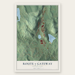

More maps nearby: Mamanasco Lake, West Mountain, Topstone, Ridgebury and Branchville.
The art of mapping a place
How This Map Was Made
Real places. Remarkable detail. Discover the layers that turn geographic data into a map of home.

The view from above
Aerial imagery reveals the character of the land: woodland, open fields, and the patterns of a place.

The shape of the land
Elevation data brings hills, valleys, and subtle changes in the landscape into view.

The details of home
Roads, waterways, and building footprints come together to make the map feel unmistakably local.

Geography becomes art
Considered color, shading, and typography bring the layers together in a map made for your wall.


Process illustrated with Mendon, Massachusetts. Aerial imagery: USDA NAIP. Terrain: USGS 3D Elevation Program. Map details and finished artwork: KNOWOL.
The Details
About This Print
Choose an archival matte print, or a black or white Ayous wood frame. The archival matte print is unframed.
Select your size and finish above to see the matching product image and price.
Materials & Craftsmanship
A contemporary map with the character of a classic atlas, printed on archival matte paper. Optional frames are made from Ayous wood.
Your printed map does not include the watermark shown in the full-map preview.
Shipping & Delivery
Free shipping within the United States. Every print is made to order in the USA.
Buying a gift? Add a note in your cart and we'll include it. We never put prices in the package.
Prints ship within 2 to 3 business days. Allow 7 to 10 days total from ordering for delivery. Timing may vary during holidays or periods of high order volume.
Read our shipping policy.
Returns and damaged prints
Each print is made to order. Change-of-mind refunds are not available after production.
If your print arrives damaged, misprinted or incorrect, contact support@knowol.com within 30 days of receiving it. Include your order number, photos and a description of the issue.
Read our full refund and replacement policy. For questions about your order, email support@knowol.com.