
Search for another town



Free U.S. delivery 7 to 10 days after you order
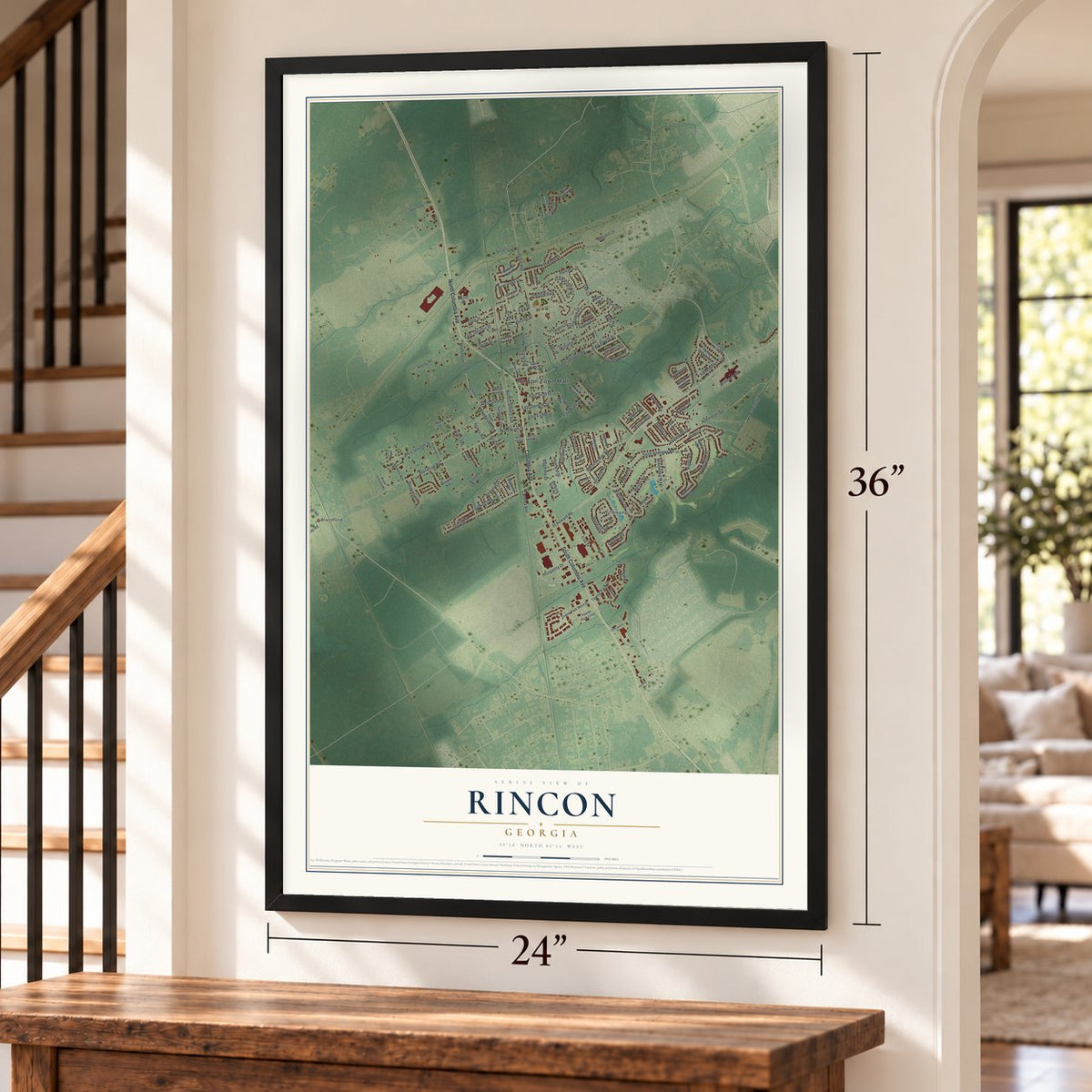
Rincon, Georgia Map Art
A new map of Rincon, Georgia, made in 2026 and printed to order on thick archival matte paper.
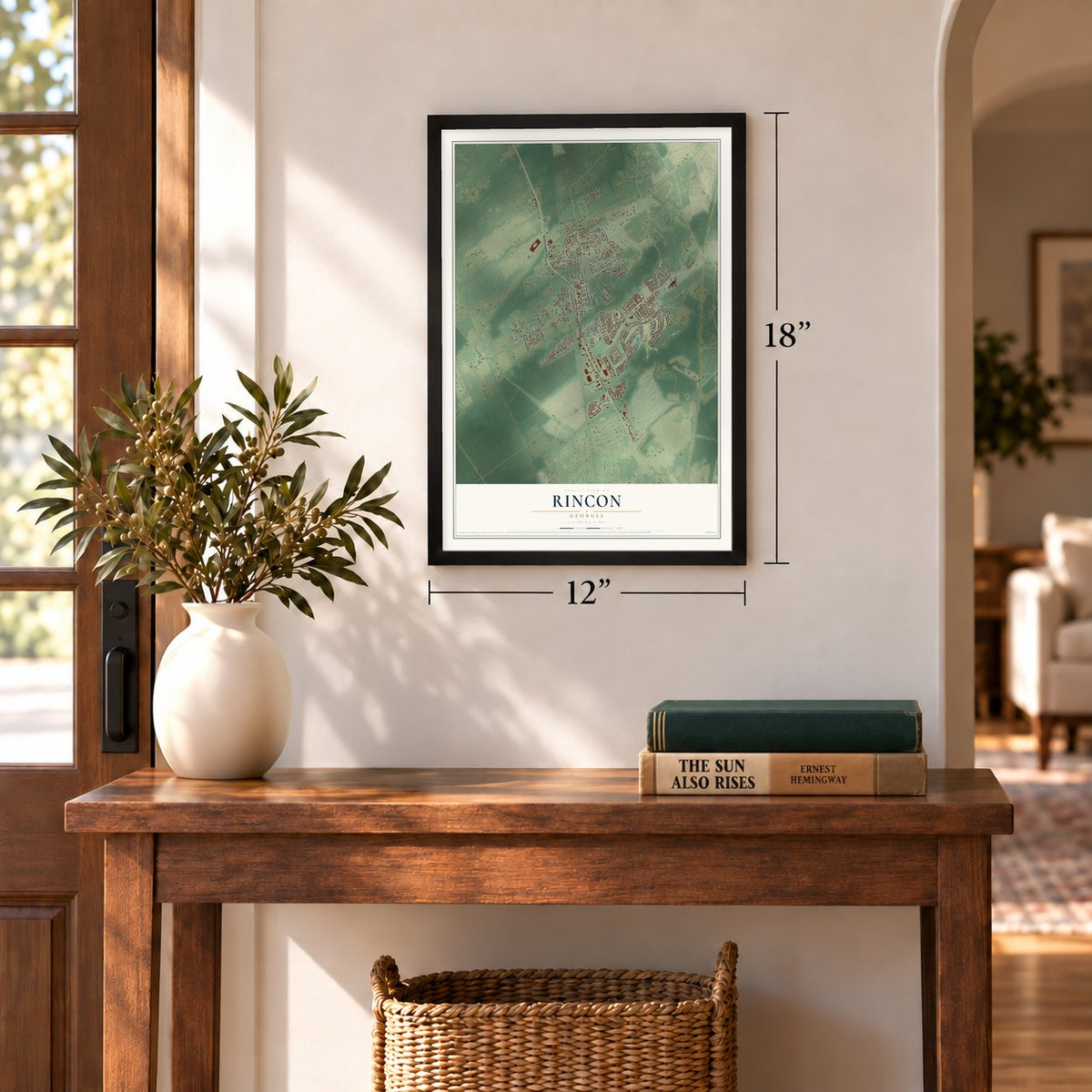
12" x 18" Archival Matte Print
A Map of Home. A Work of Art.
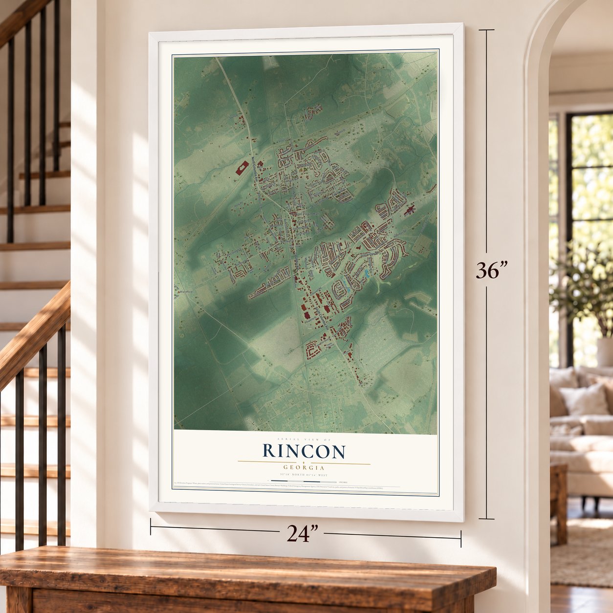
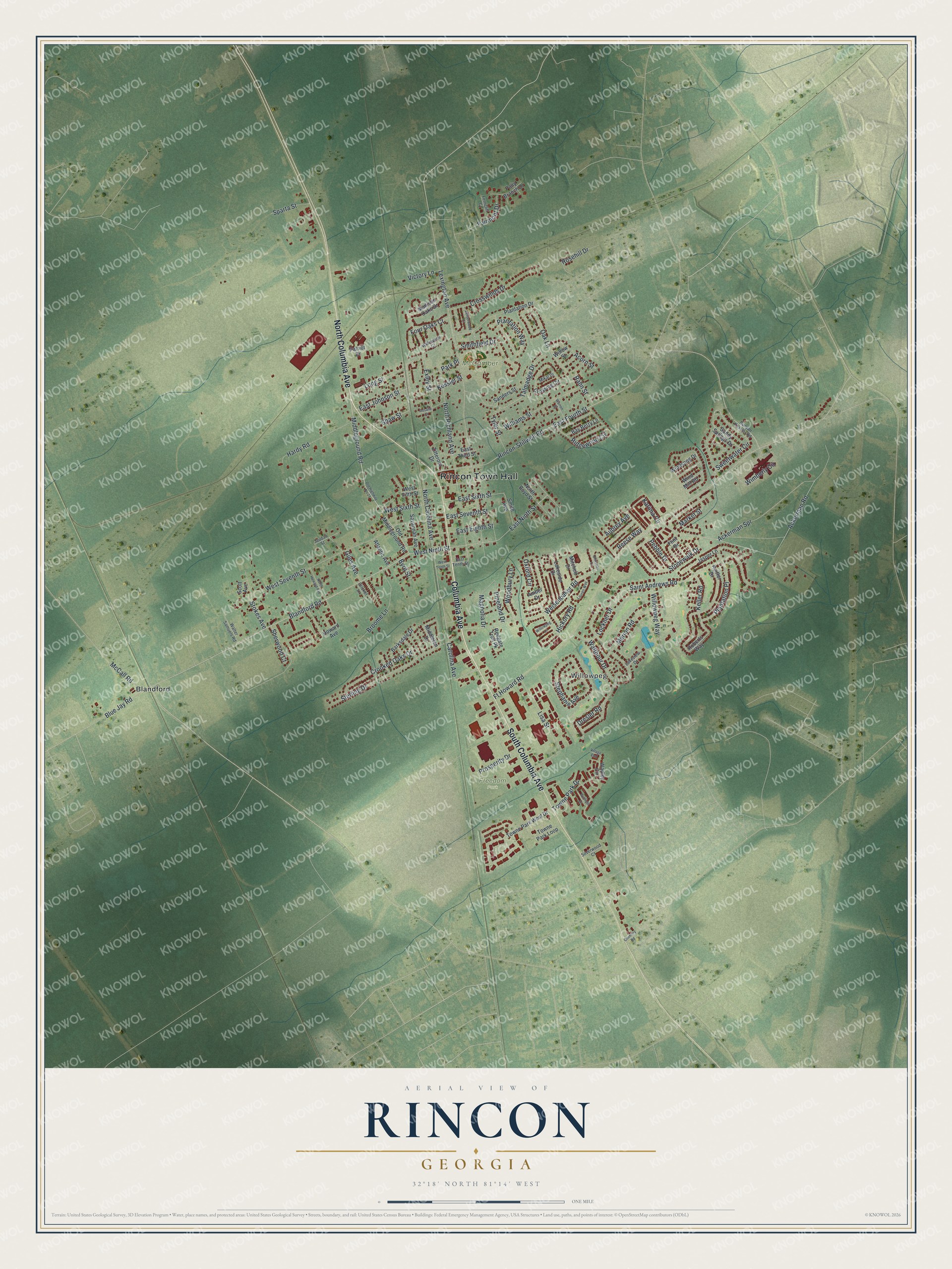
Explore Rincon, Georgia from a whole new perspective. Created using aerial imagery and detailed geographic data, this map captures Rincon building by building, with labeled streets, familiar landmarks, and shaded topographical relief that highlights the natural contours of the landscape.
Combining modern data with the timeless character of a vintage atlas, this map is just as interesting up close as it is beautiful on the wall. Whether you grew up in Rincon, spent memorable years there, or call it home today, this unique map is a great way to celebrate a place that means something to you. Zoom in on the preview to look for your street, and then order a print to put your memories on the wall.
Three ways to hang it
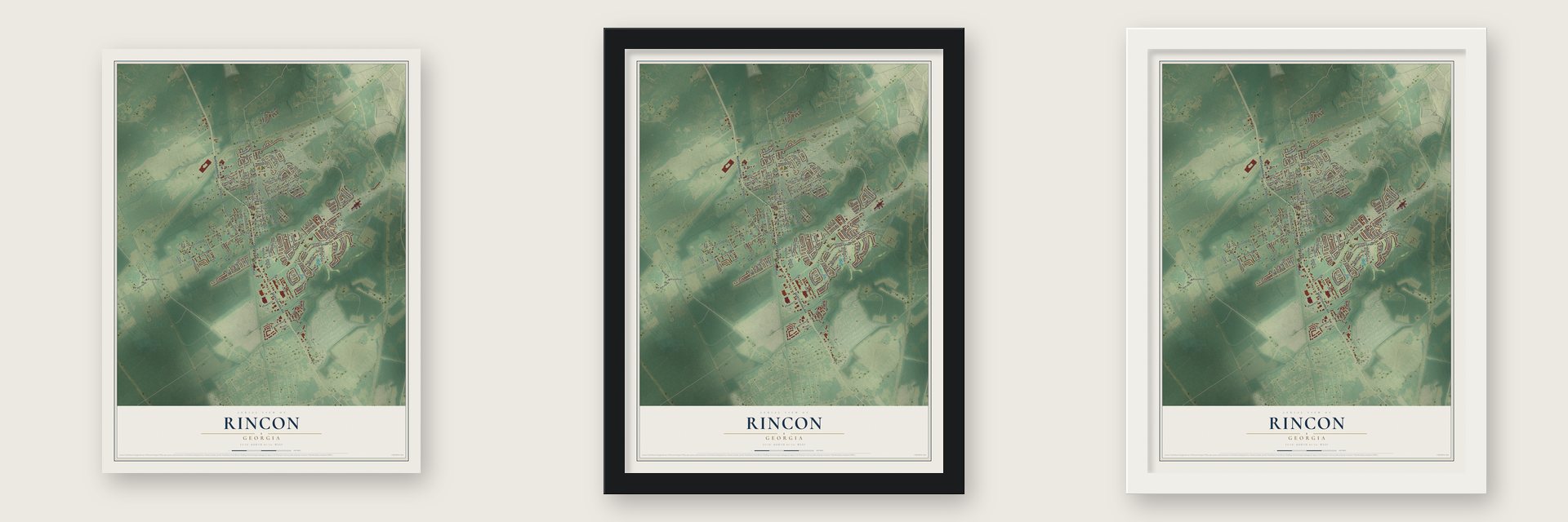
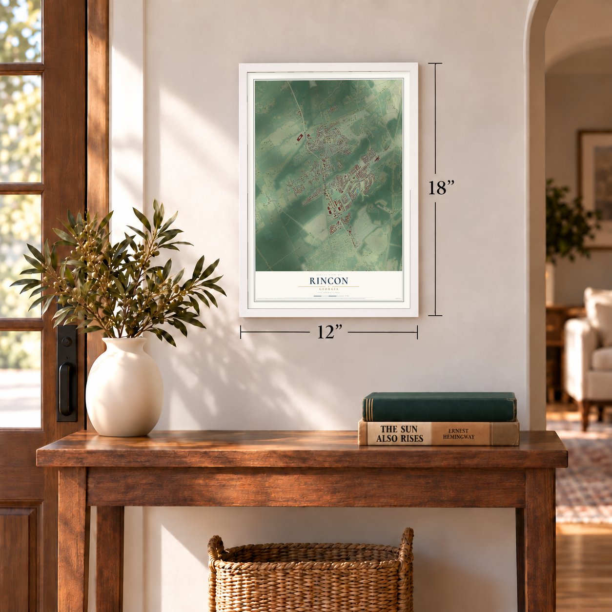
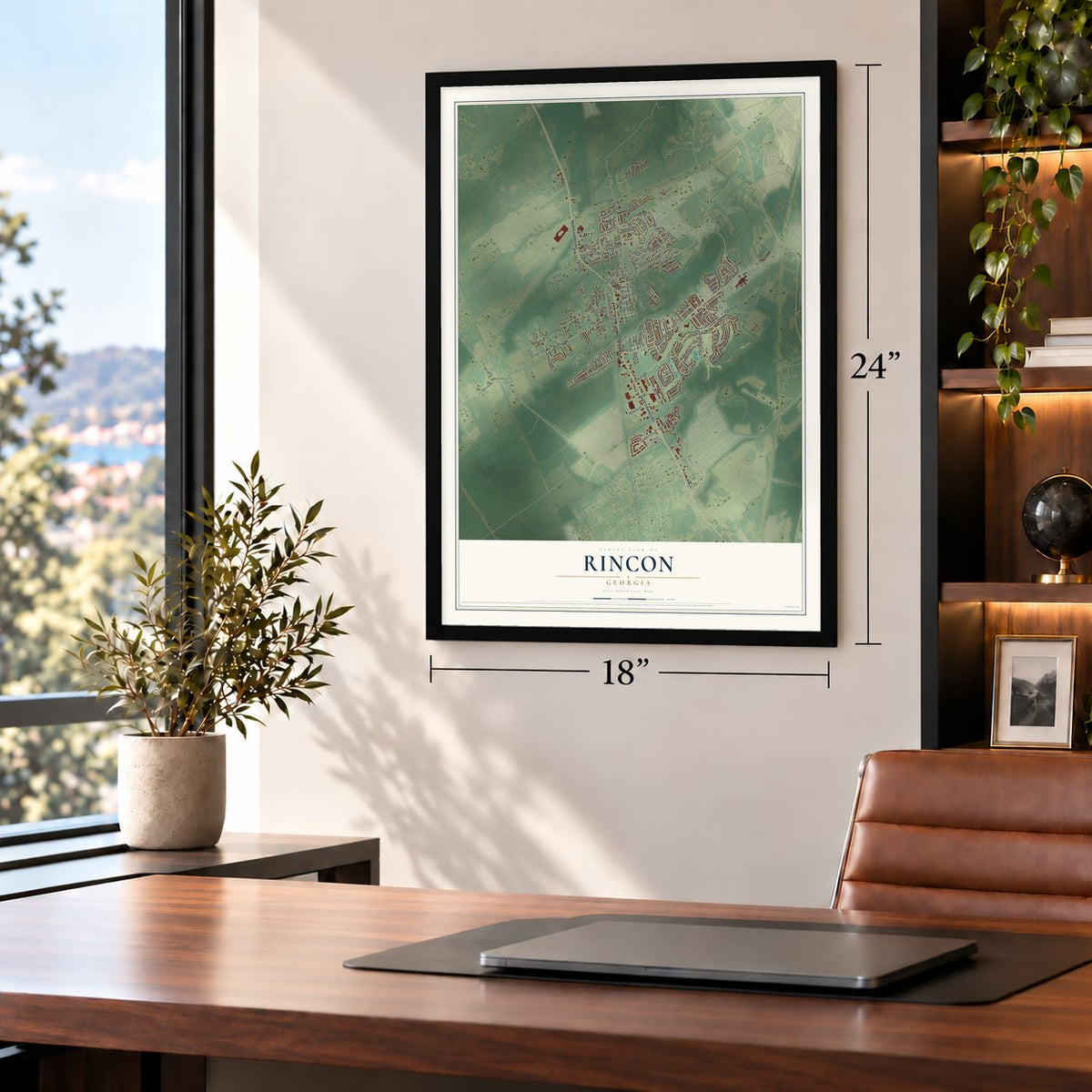
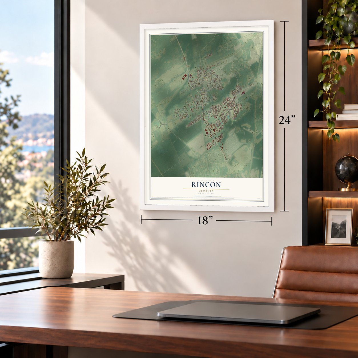
Unframed archival matte, a black wood frame or a white wood frame.
Up close
Geography Worth Displaying
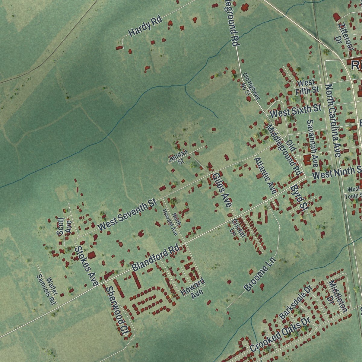
This map was created using accurate cartographic data and authoritative geographic sources, including the U.S. Geological Survey (USGS) and FEMA. The map brings together terrain, waterways, roads, and building detail. The majority of the streets are labeled, houses are accurately depicted, and the topography is derived from government sources. Combining local data with carefully composed color and shading leads to this beautifully detailed Rincon artwork for your wall.
Rather than simply showing street outlines, we’ve included as many of the street names as we could reasonably fit on the map while keeping their names legible. Zoom in on the high resolution preview to see exactly what’s on the map. We truly set out to create a statement piece for anyone who loves Rincon. So whether it’s for you, or a gift for someone you love, we hope this map of Rincon brings back fond memories.
Explore the full map of Rincon, Georgia and read about the local places it shows.

About Rincon, Georgia
Rincon is a city of 10,934 people in Effingham County, 18 miles north of Savannah. The first settlers came in 1751, but the area stayed quiet until the 1890s, when a railroad was laid from the Carolinas over the Savannah River and south to Savannah. A depot went up at Rincon, and by about 1895 a telegraph agent worked there, connecting the place with distant towns.
Farmers and sawmill men who had once hauled their cotton and lumber all the way to Savannah could now bring it by wagon to Rincon and ship it by rail, so the depot became a busy trading spot. Rincon incorporated as a city in 1927, but its government had gone inactive by 1929 because so few people lived there. The town grew again, to 454 people in 1950, and around the end of 1954 it was reincorporated as the Town of Rincon. It reached 1,057 people by 1960, and suburbs spreading out from Savannah have driven fast growth since 1990, when it had 2,697.
- Tragedy at Ebenezer CreekDuring the Civil War, thousands of enslaved people fled plantations and followed Union General William Tecumseh Sherman's March to the Sea. Near the site of present-day Rincon, hundreds of them drowned while trying to get across Ebenezer Creek. In 2010 the Georgia Historical Society put up a marker about the event, part of a project to remember little-known Civil War history and the sacrifices African Americans made for freedom.
- Named for a Mexican townThe name is thought to come from Rincón, a small but prosperous town in Mexico. In Spanish the word means an inside corner, like a nook or cove. Locals don't use the Spanish sound, though: they say RINK-in.
- A school with a bell towerAround 1900 residents opened a grade school for white students in an old two-story building across from the Lutheran church. A few years later it moved to a newer two-story building between 4th and 5th streets, where a steeple bell rang for recess, lunch and the start and end of each day. First called the Effingham Institute, it became Rincon High School in the early 1920s and served at least 40 years, though segregation kept African Americans out.
- Running water in 1955Federal WPA help during the Great Depression paved State Route 21 through Rincon in approximately 1934, and in about 1939 the Savannah Electric and Power Company began supplying power, replacing small private plants. In late 1955 Rincon built its own pump, tank and water lines, bringing running water to the whole town for the first time. A volunteer fire department followed in 1956, the same year crews began paving many of its streets.
Find your street
Names on the Rincon map
Every name below is printed on this map. Look for your street, your school, the park where you played, or the pond down the road.
Places and landmarks5
- Rincon Town Hall
- Willowpeg
- Freedom Park
- McComber Park
- Blandford
Streets and roads134
- Columbia Avenue
- North Columbia Avenue
- South Columbia Avenue
- Carolina Avenue
- Middleground Road
- North Carolina Avenue
- East Johnson Street
- Blandford Road
- East Ninth Street
- Aubrey Avenue
- Long Street
- Blue Jay Road
- East Fourth Street
- Dresler Road
- Merion Road
- East Seventh Street
- Plantation Place
- East Sixth Street
- Ft Howard Road
- Lexington Avenue
- West Ninth Street
- West Seventh Street
- Saint Andrews Road
- Ackerman Road
- Weisenbaker Road
- Sweetwater Circle
- North Richland Avenue
- Walthour Drive
- Rincon-Stillwell Road
- Stephanie Avenue
Show all 134 streets
- Oxford Circle
- Talmadge Drive
- Lisa Street
- Wimberly Circle
- Sterling Drive
- Plantation Way
- Willowpeg Way
- Ridgewood Circle
- Williams Street
- Stonewalk Drive
- Broome Lane
- Exley Street
- Hardy Road
- Keller Road
- Smithfield Drive
- Crooked Oaks Drive
- Towne Park Drive
- Karima Circle
- Four Oaks Court
- Lockner Drive
- West Sixth Street
- Crosswinds Drive
- Acorn Street
- Giles Avenue
- Shaw Street
- Rahn Street
- Magnolia Drive
- Woodbury Lane
- Tyler Street
- Ackerman Spr
- Prosperity Drive
- Oak Lane
- East Eighth Street
- Sherwood Court
- Market Street
- Pebble Drive
- Pineland Drive
- McCall Road
- Sparta Street
- Fairmont Drive
- Rosehill Drive
- Stokes Avenue
- Reese Way
- Kessler Street
- Hickory Road
- Park Place
- Victory Lane
- Byrd Street
- Old Middleground Road
- Scott Avenue
- West Fifth Street
- Roberts Way
- Crossing Circle
- Plantation Drive
- Madison Oaks Drive
- Windsong Drive
- Zitterour Drive
- Savannah Avenue
- Jasper Lane
- Keiffer Drive
- Towne Park West Drive
- Wadley Circle
- Towne Park Loop
- Barksdale Drive
- Sanders Street
- Lakeside Drive
- Howard Avenue
- Bay Berry Lane
- Polly Branch Drive
- East Third Street
- Sandy Springs Drive
- Middleton Drive
- Smith Avenue
- Atlantic Avenue
- Patriot Drive
- Flint Drive
- Mitchell Drive
- North Boyd Street
- Wind Mill Road
- Redgate Trail Pk
- Amber Drive
- Willow Street
- East Tenth Street
- Bunyan Kessler Road
- Willowdell Court
- Walter Samuels Road
- Ferncliff Court
- Silverwood Court
- Lakeview Drive
- Mikal Drive
- Jaudan Street
- Cricket Lane
- Old Highway No 21
- Winfield Drive
- Willowpeg Lane
- North Howard Avenue
- Lauren Way
- Chimney Road
- Centerwood Court
- Warren Street
- Village End
- West Tenth Street
- Christian Court
- Rosalie Court
Names are listed as they appear on the printed map. Zoom into the product photos to find them.
The art of mapping a place
How This Map Was Made
Real places. Remarkable detail. Discover the layers that turn geographic data into a map of home.

The view from above
Aerial imagery reveals the character of the land: woodland, open fields, and the patterns of a place.

The shape of the land
Elevation data brings hills, valleys, and subtle changes in the landscape into view.

The details of home
Roads, waterways, and building footprints come together to make the map feel unmistakably local.

Geography becomes art
Considered color, shading, and typography bring the layers together in a map made for your wall.


Process illustrated with Mendon, Massachusetts. Aerial imagery: USDA NAIP. Terrain: USGS 3D Elevation Program. Map details and finished artwork: KNOWOL.
The Details
About This Print
Choose an archival matte print, or a black or white Ayous wood frame. The archival matte print is unframed.
Select your size and finish above to see the matching product image and price.
Materials & Craftsmanship
A contemporary map with the character of a classic atlas, printed on archival matte paper. Optional frames are made from Ayous wood.
Your printed map does not include the watermark shown in the full-map preview.
Shipping & Delivery
Free shipping within the United States. Every print is made to order in the USA.
Buying a gift? Add a note in your cart and we'll include it. We never put prices in the package.
Prints ship within 2 to 3 business days. Allow 7 to 10 days total from ordering for delivery. Timing may vary during holidays or periods of high order volume.
Read our shipping policy.
Returns and damaged prints
Each print is made to order. Change-of-mind refunds are not available after production.
If your print arrives damaged, misprinted or incorrect, contact support@knowol.com within 30 days of receiving it. Include your order number, photos and a description of the issue.
Read our full refund and replacement policy. For questions about your order, email support@knowol.com.
Find your town
Looking for another city?
Find a map of home in our Georgia collection, or any town in the country.
Nearby
Maps of towns near Rincon
Know someone from one of these towns? Their map makes a great gift.
 Springfield
, Georgia
From $39.99See the map
 Port Wentworth
, Georgia
From $39.99See the map
 Guyton
, Georgia
From $39.99See the map
More maps nearby: Bloomingdale, Pooler, Garden City, Savannah and Henderson.