
Search for another town

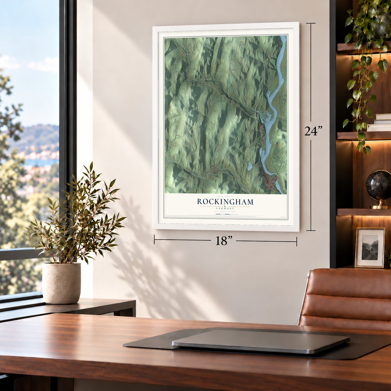

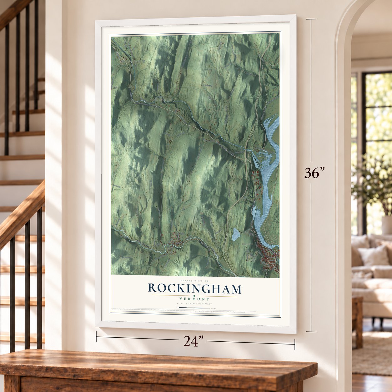
Free U.S. delivery 7 to 10 days after you order
Rockingham, Vermont Map Art
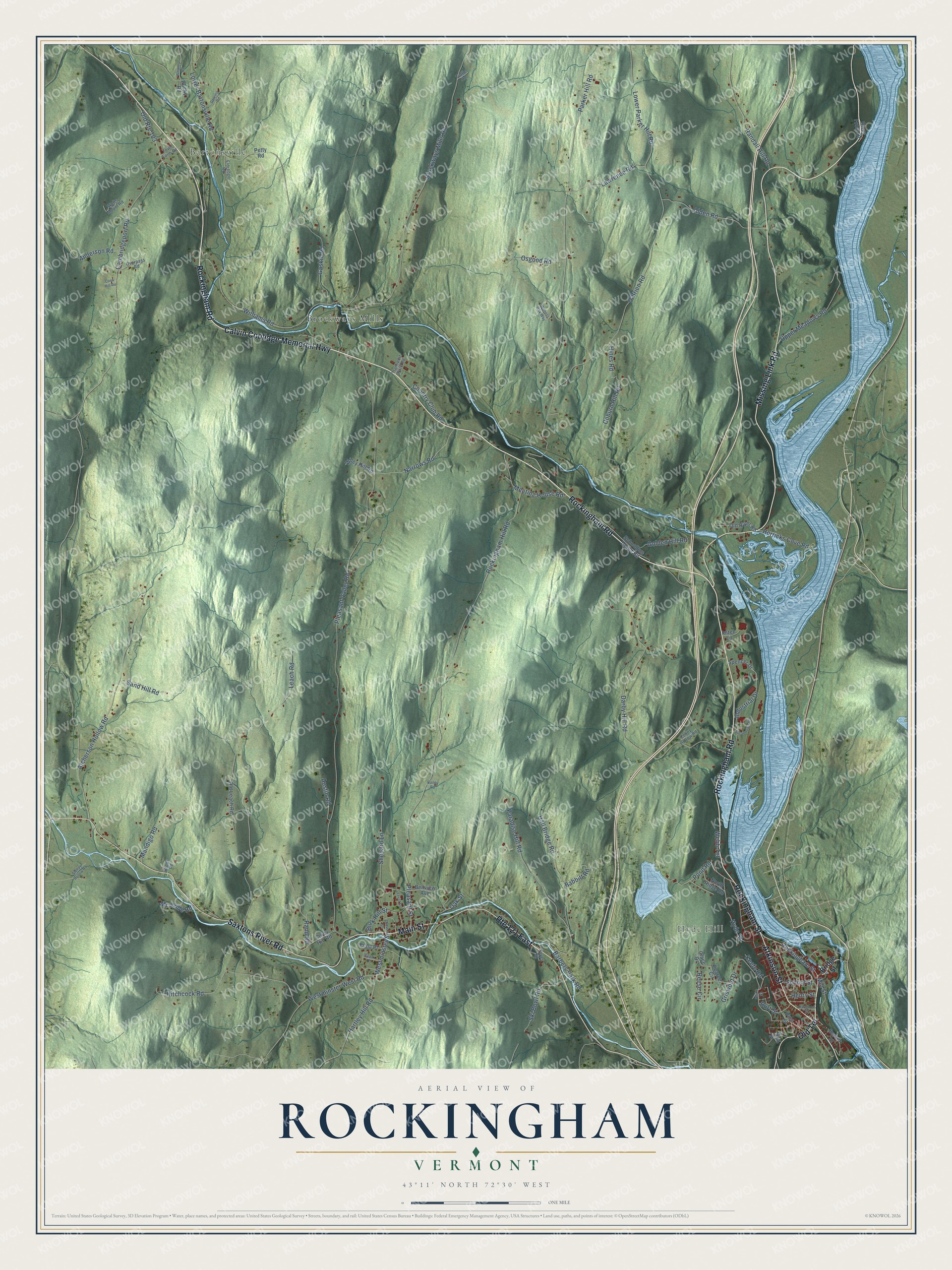
Building by building, with labeled streets and shaded relief.
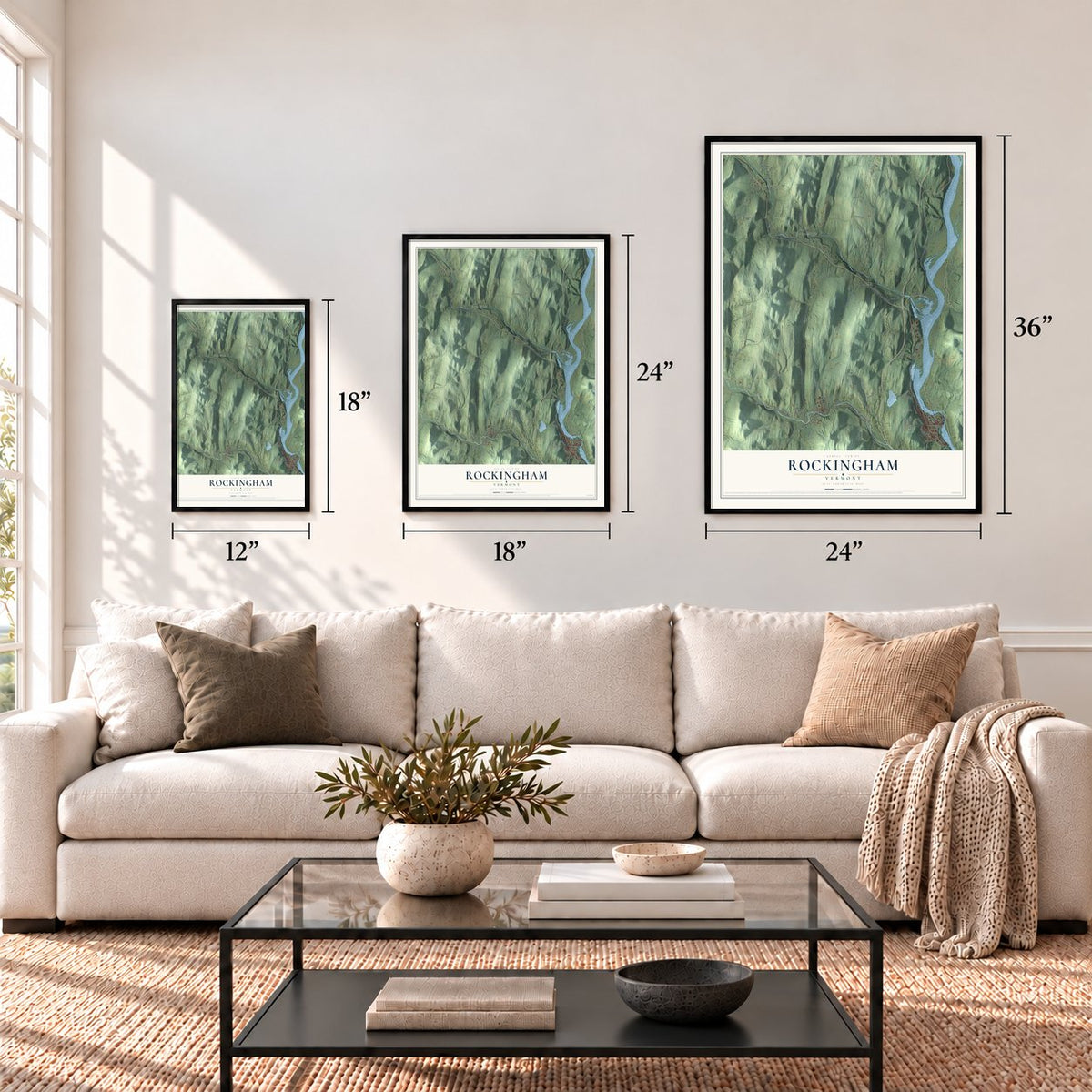
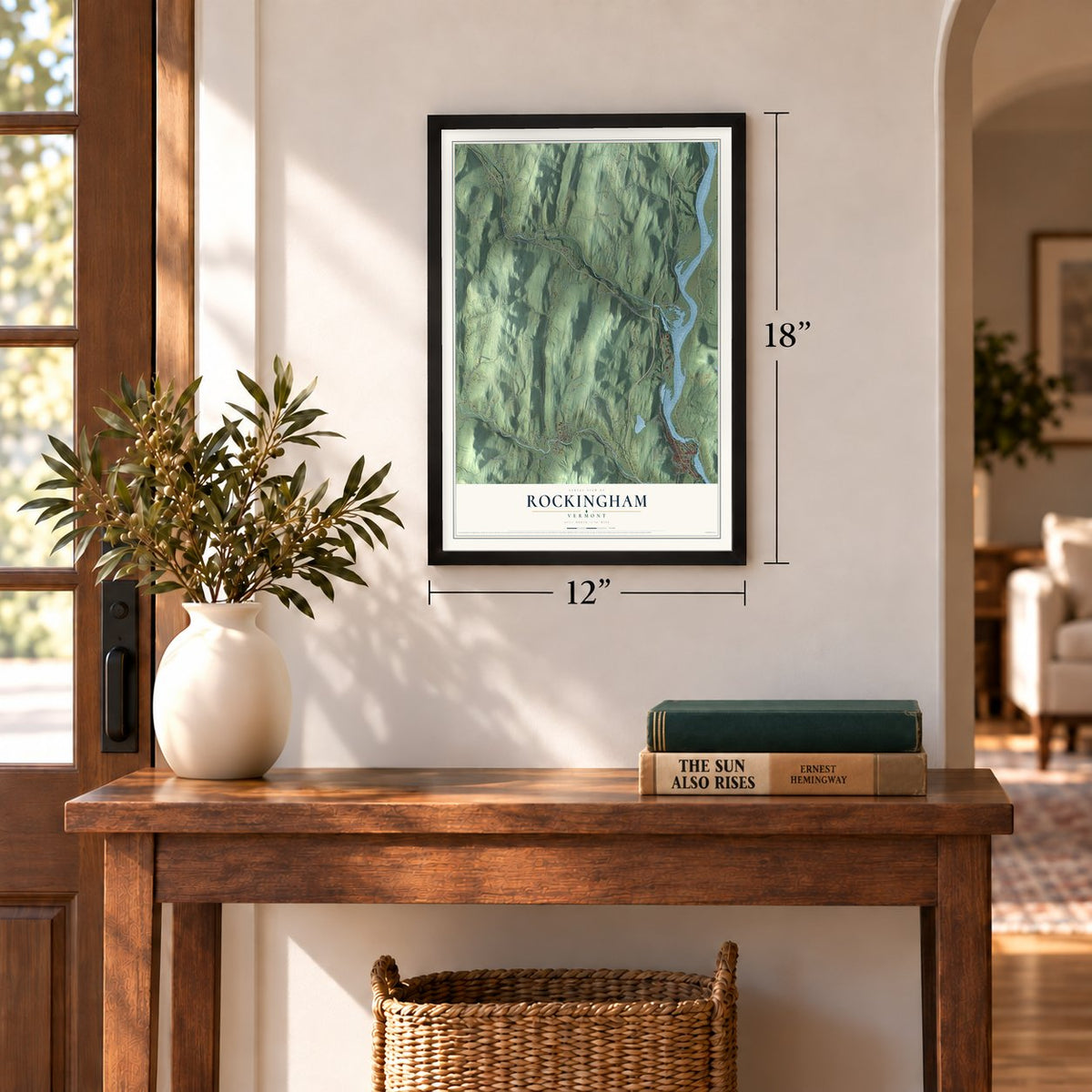
12" x 18" Archival Matte Print
A Map of Home. A Work of Art.
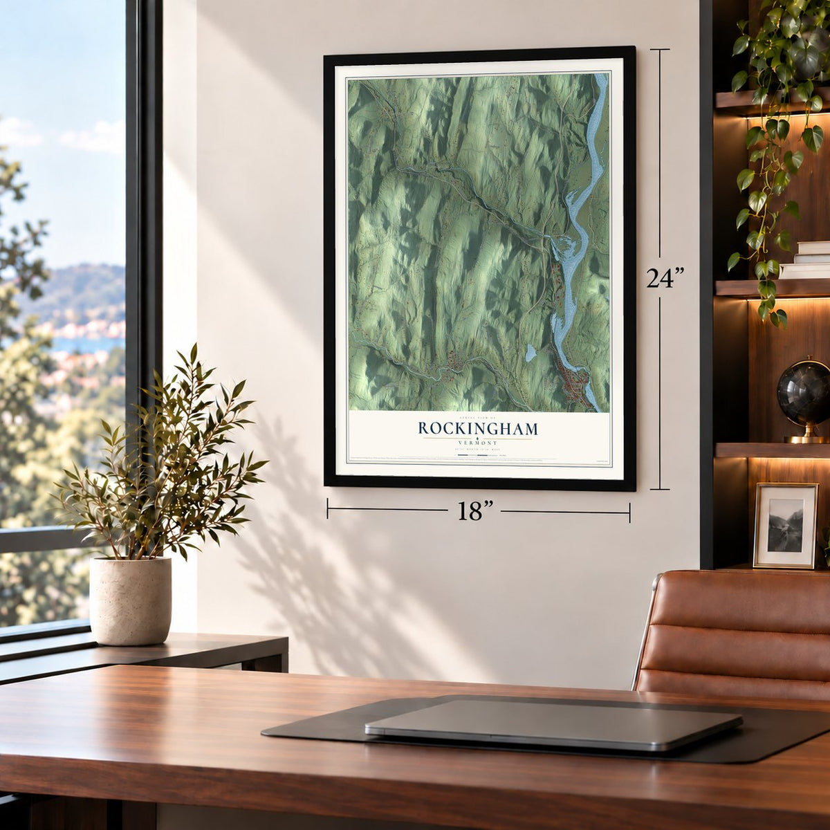
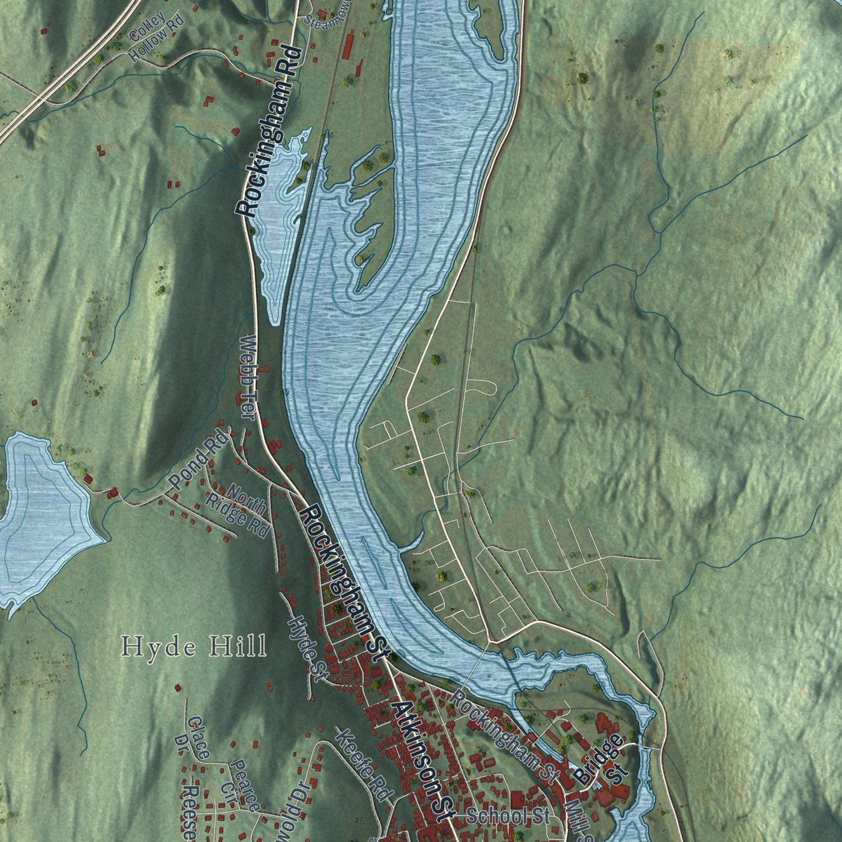
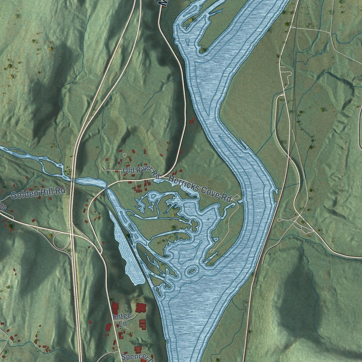
Explore Rockingham, Vermont from a whole new perspective. Created using aerial imagery and detailed geographic data, this map captures Rockingham building by building, with labeled streets, familiar landmarks, and shaded topographical relief that highlights the natural contours of the landscape.
Combining modern data with the timeless character of a vintage atlas, this map is just as interesting up close as it is beautiful on the wall. Whether you grew up in Rockingham, spent memorable years there, or call it home today, this unique map is a great way to celebrate a place that means something to you. Zoom in on the preview to look for your street, and then order a print to put your memories on the wall.
Three ways to hang it
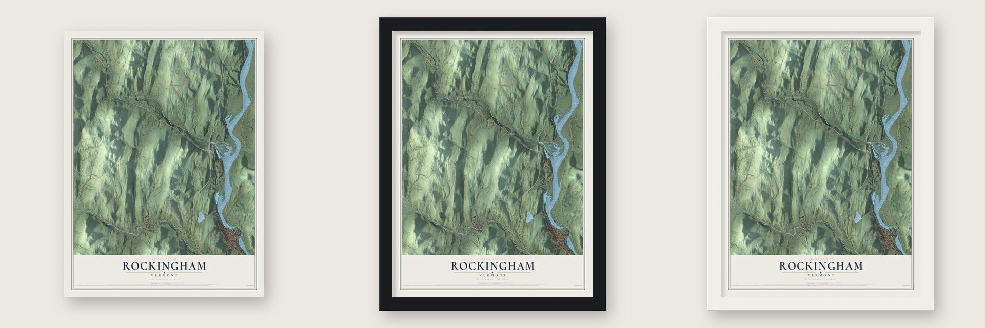
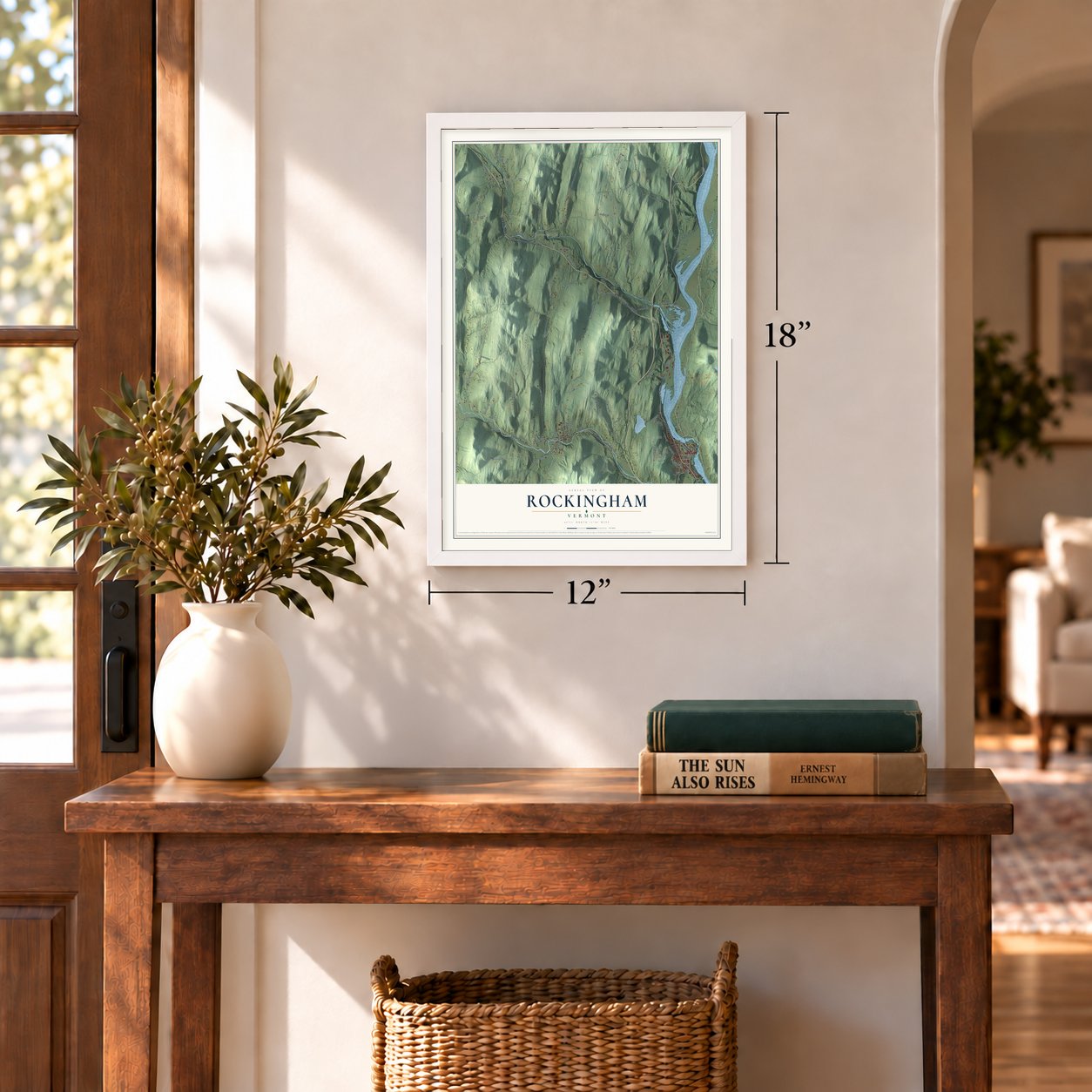
Unframed archival matte, a black wood frame or a white wood frame.
Up close
Geography Worth Displaying
This map was created using accurate cartographic data and authoritative geographic sources, including the U.S. Geological Survey (USGS) and FEMA. The map brings together terrain, waterways, roads, and building detail. The majority of the streets are labeled, houses are accurately depicted, and the topography is derived from government sources. Combining local data with carefully composed color and shading leads to this beautifully detailed Rockingham artwork for your wall.
Rather than simply showing street outlines, we’ve included as many of the street names as we could reasonably fit on the map while keeping their names legible. Zoom in on the high resolution preview to see exactly what’s on the map. We truly set out to create a statement piece for anyone who loves Rockingham. So whether it’s for you, or a gift for someone you love, we hope this map of Rockingham brings back fond memories.
Explore the full map of Rockingham, Vermont and read about the local places it shows.
Find your street
Names on the Rockingham map
Every name below is printed on this map. Look for your street, your school, the park where you played, or the pond down the road.
Places and landmarks3
- Hyde Hill
- Bartonsville
- Brockways Mills
Streets and roads105
- Rockingham Road
- Missing Link Road
- Rockingham Street
- Calvin Coolidge Memorial Highway
- Atkinson Street
- Old Terrace
- Route 121 East
- Saxtons River Road
- Main Street
- Rand Road
- Westminster Street
- Narrows Road
- Lower Parker Hill Road
- Herricks Cove Road
- Pleasant Valley Road
- Cambridgeport Road
- Parker Hill Road
- Rockingham Hill Road
- Brockways Mills Road
- Leach Road
- Darby Hill Road
- O'Brien Road
- Atcherson Hollow Road
- Hall Bridge Road
- Williams Road
- Hitchcock Road
- Lower Bartonsville Road
- Paradise Hill Road
- Shepard Lane
- Westminster West Road
Show all 105 streets
- Upper Meadows Road
- Alden Road
- Gaskill Road
- Coburn Hill Road
- Randall Hill Road
- Meeting House Road
- Pond Road
- Lawrence Road
- Griswold Drive
- Old Route 103
- Ski Bowl Road
- Industrial Drive
- Hartley Hill Road
- Pleasant Street
- Barbers Park Road
- Oak Street
- Mandigo Road
- Osgood Road
- School Street
- Golden Hill Road
- Burk Hill Street
- Reese Circle
- Sand Hill Road
- Mill Street
- Country Club Road
- Austin Road
- Hyde Street
- Anderson Road
- Mc Bride Road
- Henry Street
- Burt Street
- Babbitt Road
- Hines Road
- Keefe Road
- Webb Terrace
- Bridge Street
- Old River Road
- Schoolbus Depot Road
- Corey Hill Road
- Old Leach Road
- Petty Road
- Pine Street
- Wiley Hill Road
- North Ridge Road
- Pearce Circle
- Spencer Drive
- Clace Drive
- Barker Street
- Bellview Avenue
- River Front Drive
- Frost Place
- Rocky Road
- Imtec Lane
- Birch Street
- Eldredge Road
- Wells Mount Road
- Overpass Road
- Clark Court
- Colley Hollow Road
- Transport Park Road
- Town Farm Road
- Brook Road
- Noyes Road
- Tuttle Road
- Blake Street
- Witness Oak Way
- Sleepy Hollow Road
- Leavitt Lane
- Steamtown Road
- Gowing Road
- Grove Street
- Whitney Road
- Hapgood Street
- Cook Hill Road
- Bailey Road
Names are listed as they appear on the printed map. Zoom into the product photos to find them.
About Rockingham, Vermont
Rockingham is a town of 4,832 people in Windham County, where the Williams and Saxtons rivers flow down into the Connecticut. On December 28, 1752, New Hampshire's governor, Benning Wentworth, granted the township to Samuel Johnson and 72 other grantees and named it for Lord Rockingham. Pioneers came in 1753 and fished its rivers for salmon and shad, as Native people had long done. The town organized on March 25, 1761, and counted 225 residents by 1771.
In 1785 Colonel Enoch Hale put a bridge across the Connecticut at Bellows Falls, and no other bridge crossed the river until one opened at Springfield, Massachusetts, in 1796. From 1791 to 1802 a company cut a canal around the Great Falls, among the earliest in the nation. Two railroads reached Bellows Falls in 1849, and the village grew into a major mill town. By 1858 the canal's water went entirely to its paper mills, and the mills cut down the old fish runs.
- A captive's sermon in 1704On March 5, 1704, John Williams, a minister from Deerfield, preached near the mouth of the river while he and members of his flock were being marched north to Quebec as captives. It was the first Christian sermon in what became Vermont, and the river now carries his name. A marker was set near the spot in 1912.
- The old village burnsRockingham's first center grew up on high, level ground over the Williams River, and it held the first meeting house, the cemetery and the post office. Travelers on the river road, today's Route 103, kept its taverns, shops, gristmill and blacksmiths busy. Water power drew people to the river villages instead, and Bellows Falls had passed it by the 1820s. A fire on April 14, 1908, burned most of what remained, and its houses, hotel and store were never rebuilt.
- Sanford Granger's bridgesJeremiah Barton started mills at Bartonsville about 1840. In 1870 Sanford Granger built covered bridges over the Williams River there and on Williams Road to the east, the Worrall Covered Bridge. Flooding from Hurricane Irene carried off the Bartonsville bridge in 2011, and the town voted to spend the insurance money on a replacement covered bridge, which was finished and opened to traffic in January 2013. The Worrall is the last of the town's seventeen 19th-century covered bridges.
- Born here in 1811Jonathan Blanchard, born in Rockingham in 1811, became a preacher against slavery. He helped publish The Philanthropist, an abolitionist paper in Cincinnati, and went to the 1843 World Anti-Slavery Convention for Ohio. In 1860 he founded Wheaton College in Illinois, by most accounts, and he served as its leader until 1882.
- The richest woman in AmericaHetty Green, the Gilded Age financier, made her home in Bellows Falls, her husband's hometown, in 1873. When she died she was buried there beside him.
Keep exploring Vermont
Rockingham is one of 333 Vermont towns we've mapped. Every dot on the map is a print of its own.
The search covers every state, Vermont first.
Near Rockingham
Order 2 or more town maps and save 10%. Shown in the size and finish you picked above, so they hang as a set.
- Saxtons River 12" x 18" / Archival Matte Print $39.99
- Bellows Falls 12" x 18" / Archival Matte Print $39.99
- North Westminster 12" x 18" / Archival Matte Print $39.99

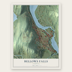
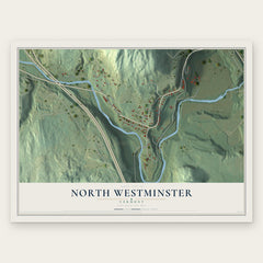
More maps nearby: Athens, Grafton, Westminster, Springfield and Windham.
The art of mapping a place
How This Map Was Made
Real places. Remarkable detail. Discover the layers that turn geographic data into a map of home.

The view from above
Aerial imagery reveals the character of the land: woodland, open fields, and the patterns of a place.

The shape of the land
Elevation data brings hills, valleys, and subtle changes in the landscape into view.

The details of home
Roads, waterways, and building footprints come together to make the map feel unmistakably local.

Geography becomes art
Considered color, shading, and typography bring the layers together in a map made for your wall.


Process illustrated with Mendon, Massachusetts. Aerial imagery: USDA NAIP. Terrain: USGS 3D Elevation Program. Map details and finished artwork: KNOWOL.
The Details
About This Print
Choose an archival matte print, or a black or white Ayous wood frame. The archival matte print is unframed.
Select your size and finish above to see the matching product image and price.
Materials & Craftsmanship
A contemporary map with the character of a classic atlas, printed on archival matte paper. Optional frames are made from Ayous wood.
Your printed map does not include the watermark shown in the full-map preview.
Shipping & Delivery
Free shipping within the United States. Every print is made to order in the USA.
Buying a gift? Add a note in your cart and we'll include it. We never put prices in the package.
Prints ship within 2 to 3 business days. Allow 7 to 10 days total from ordering for delivery. Timing may vary during holidays or periods of high order volume.
Read our shipping policy.
Returns and damaged prints
Each print is made to order. Change-of-mind refunds are not available after production.
If your print arrives damaged, misprinted or incorrect, contact support@knowol.com within 30 days of receiving it. Include your order number, photos and a description of the issue.
Read our full refund and replacement policy. For questions about your order, email support@knowol.com.