
Search for another town




Free U.S. delivery 7 to 10 days after you order
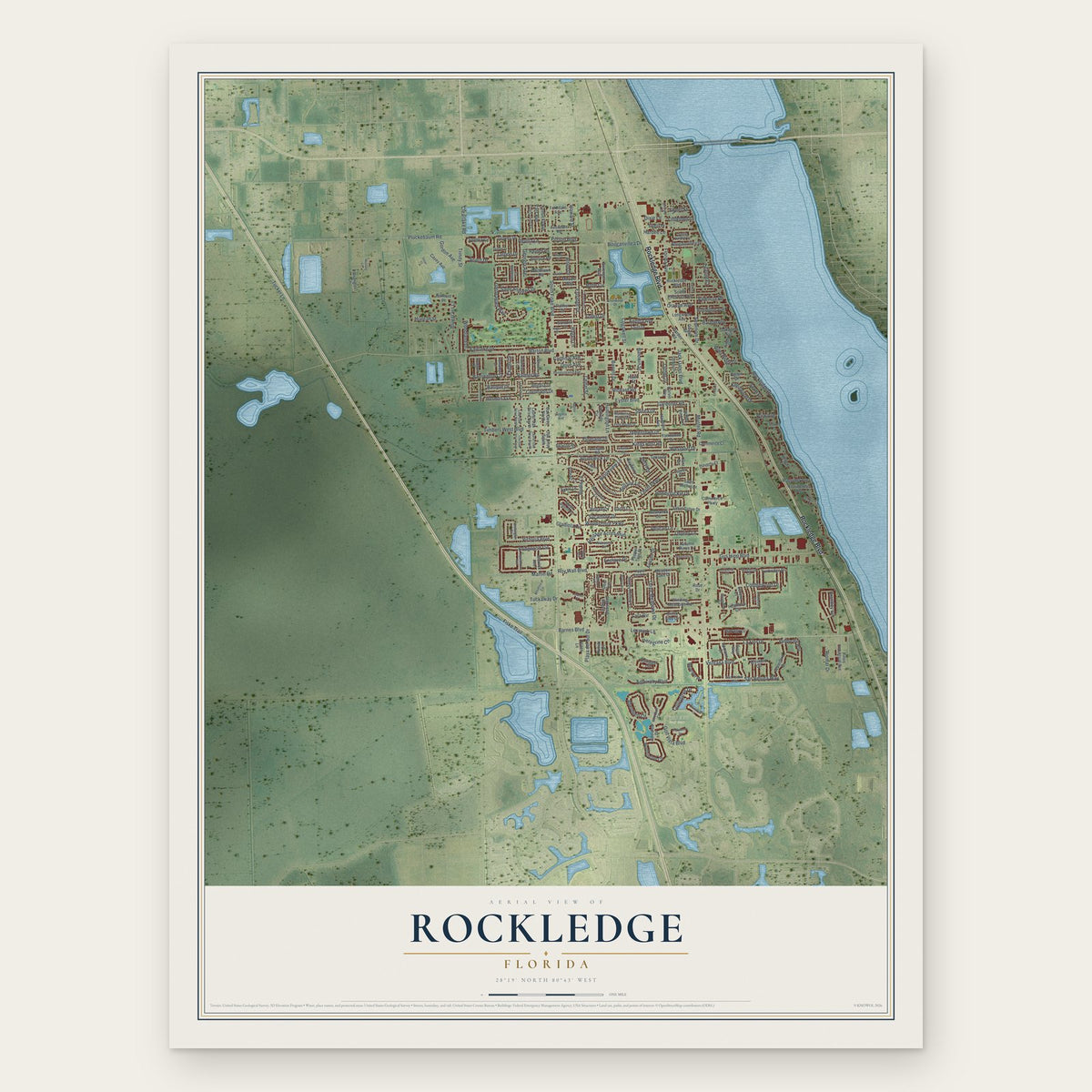
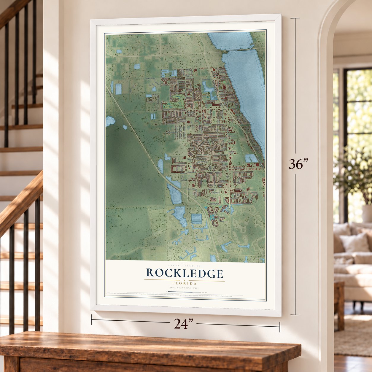
Rockledge, Florida Map Art
A new map of Rockledge, Florida, made in 2026 and printed to order on thick archival matte paper.
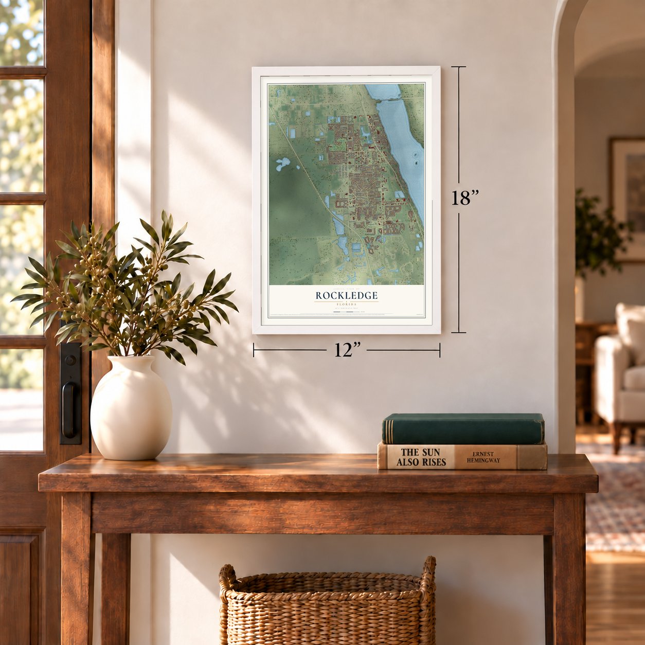
12" x 18" Archival Matte Print
A Map of Home. A Work of Art.
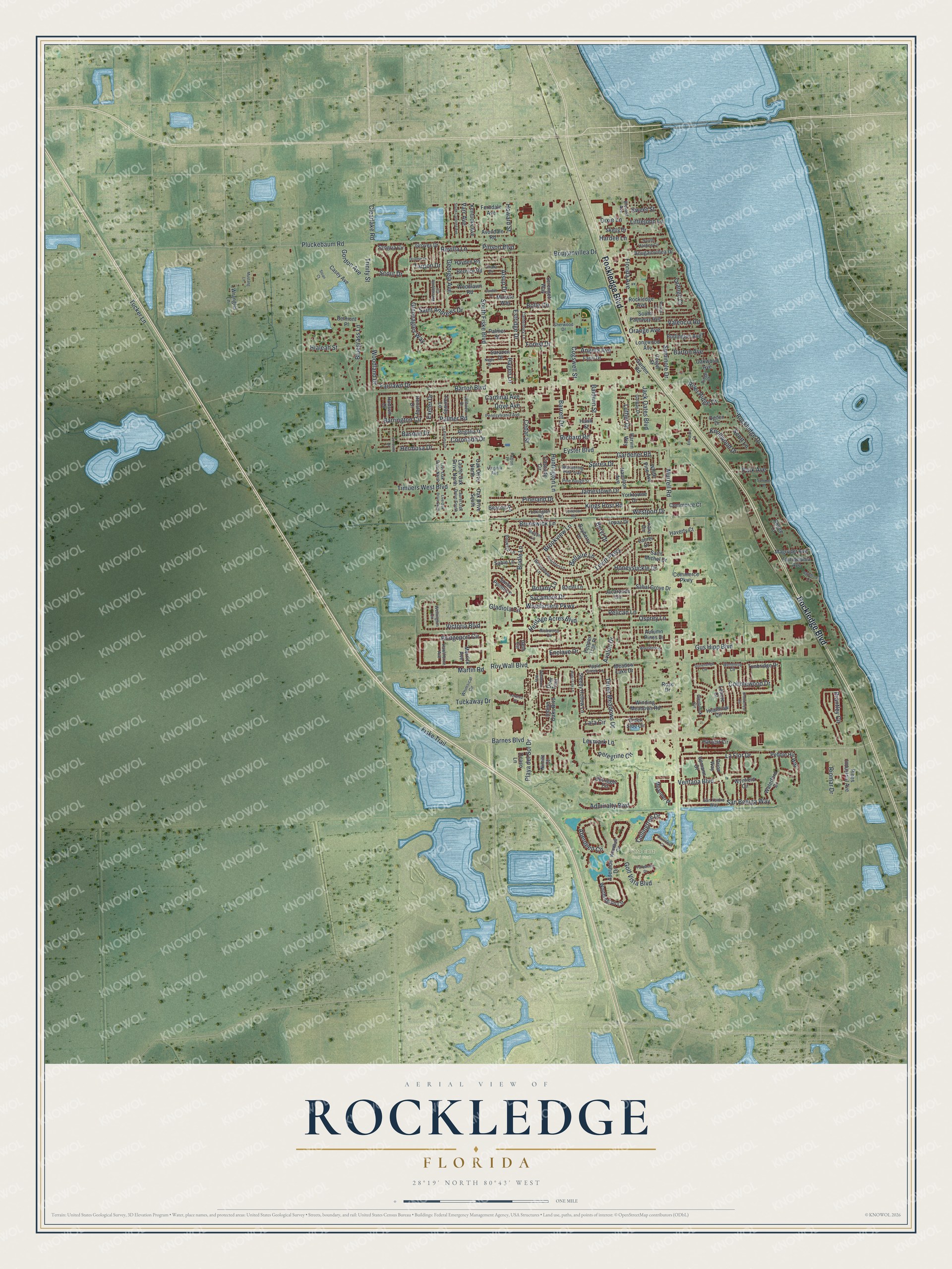
Explore Rockledge, Florida from a whole new perspective. Created using aerial imagery and detailed geographic data, this map captures Rockledge building by building, with labeled streets, familiar landmarks, and shaded topographical relief that highlights the natural contours of the landscape.
Combining modern data with the timeless character of a vintage atlas, this map is just as interesting up close as it is beautiful on the wall. Whether you grew up in Rockledge, spent memorable years there, or call it home today, this unique map is a great way to celebrate a place that means something to you. Zoom in on the preview to look for your street, and then order a print to put your memories on the wall.
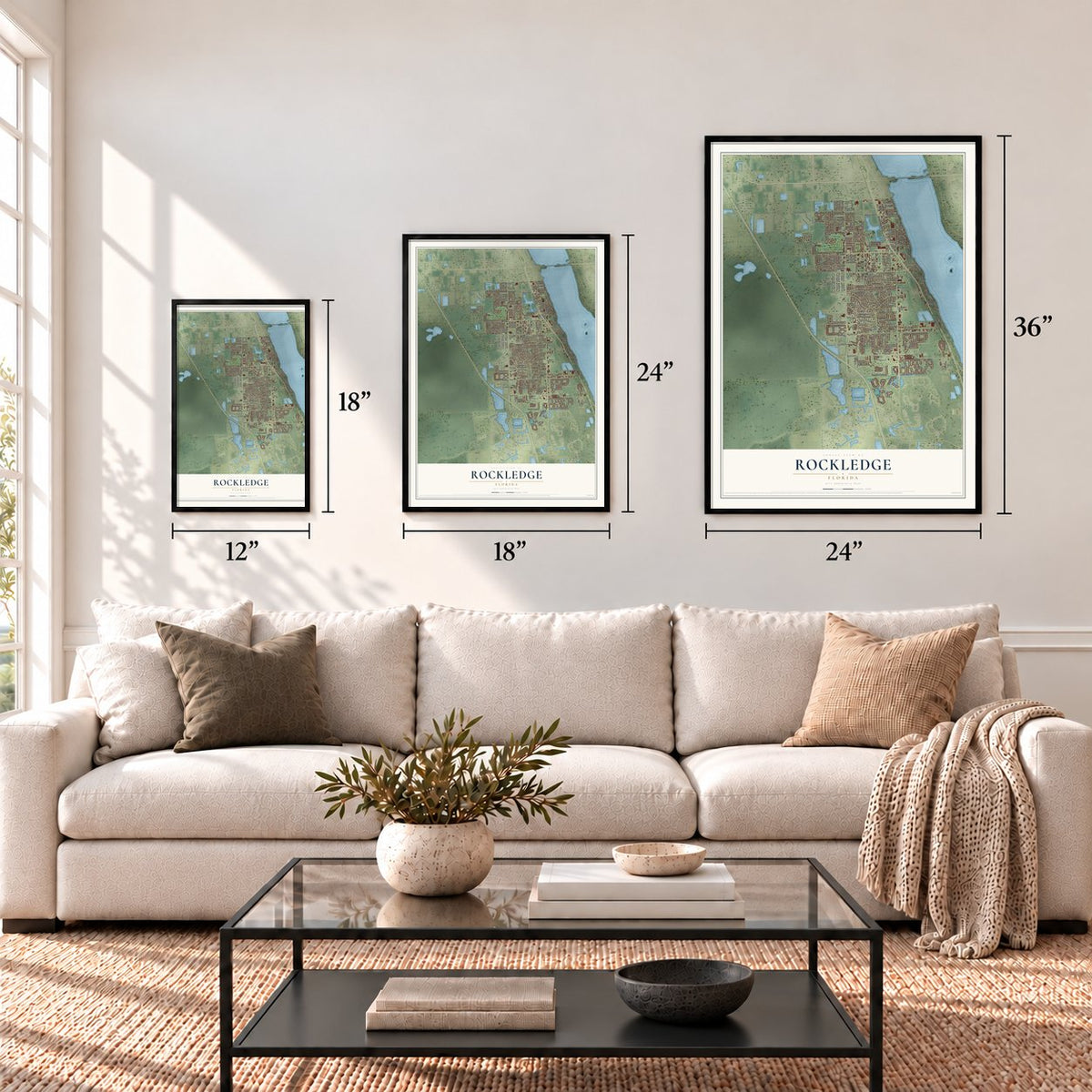
Three ways to hang it
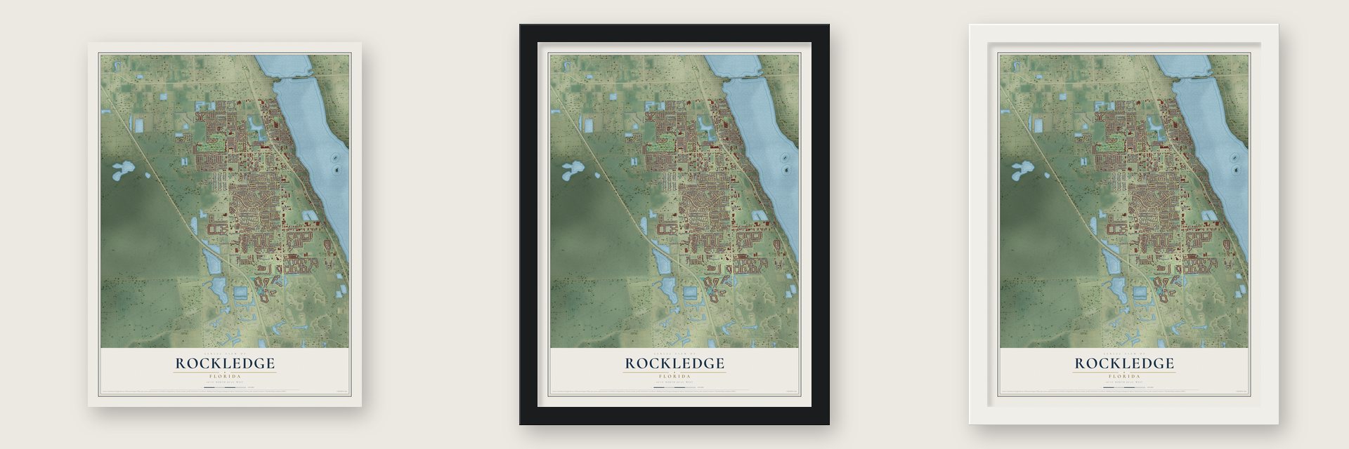
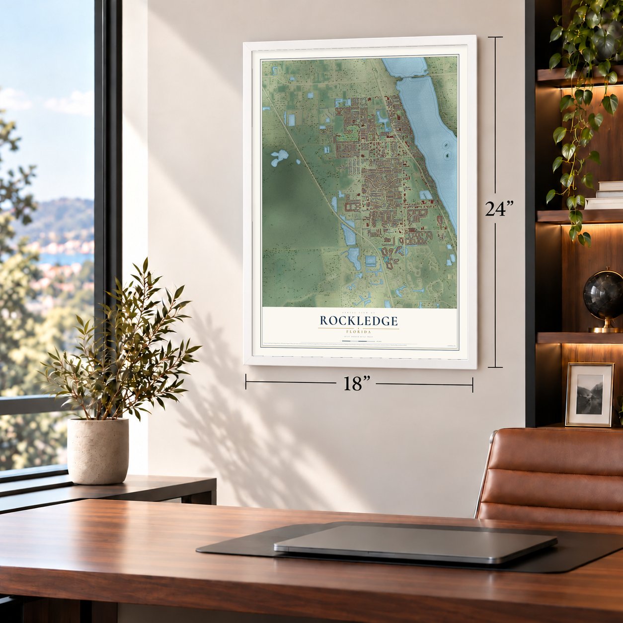
Unframed archival matte, a black wood frame or a white wood frame.
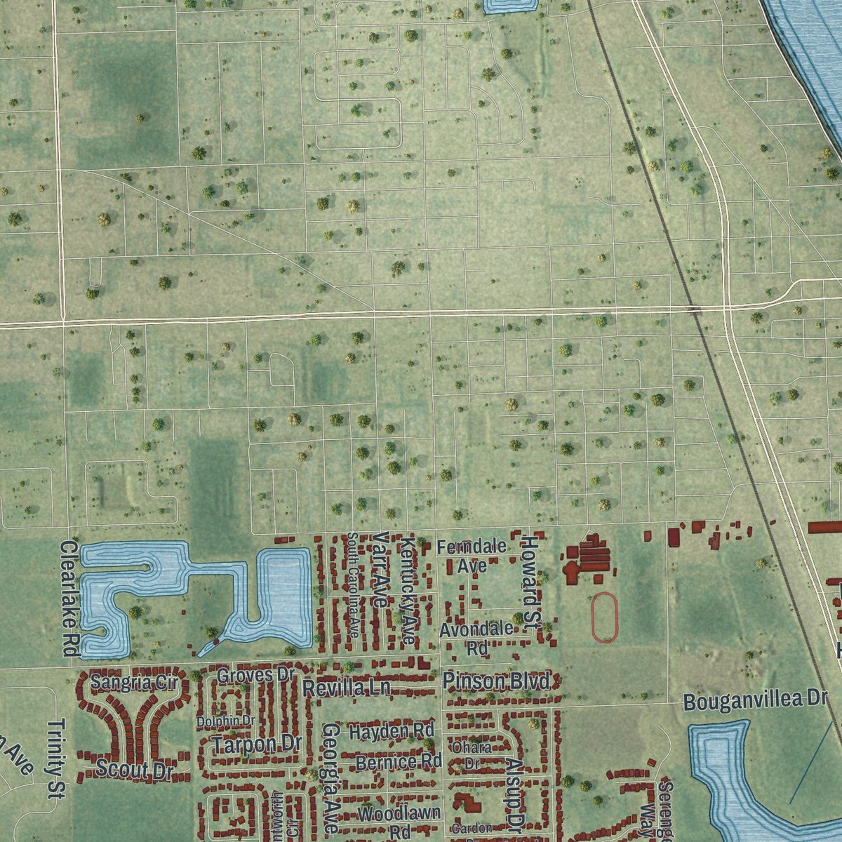
Up close
Geography Worth Displaying
This map was created using accurate cartographic data and authoritative geographic sources, including the U.S. Geological Survey (USGS) and FEMA. The map brings together terrain, waterways, roads, and building detail. The majority of the streets are labeled, houses are accurately depicted, and the topography is derived from government sources. Combining local data with carefully composed color and shading leads to this beautifully detailed Rockledge artwork for your wall.
Rather than simply showing street outlines, we’ve included as many of the street names as we could reasonably fit on the map while keeping their names legible. Zoom in on the high resolution preview to see exactly what’s on the map. We truly set out to create a statement piece for anyone who loves Rockledge. So whether it’s for you, or a gift for someone you love, we hope this map of Rockledge brings back fond memories.
Explore the full map of Rockledge, Florida and read about the local places it shows.

About Rockledge, Florida
Rockledge is a city of 27,678 people in Brevard County, along the Indian River. It was incorporated on August 7, 1887, earlier than any other town in the county. The name describes the ledges of coquina rock on the riverbank. Some credit the settler Gardner S. Hardee with it, while others trace it to Cephas Bailey Magruder, who arrived in 1876 and called his house by the river "the rockledge home." For the rest of the 19th century the town wrote its name as two words, Rock Ledge.
Citrus groves and winter visitors kept the early town going. Northerners escaping the cold rode steamboats on the Indian River that met Henry Flagler's trains, and each season the town grew from 200 people to almost 2,000. Boats and rail were the only way in until about 1911. After World War I, cars let ordinary families make the trip, and their camps spread around the area. The Dixie Highway was finished in 1915, and in the 1920s a paved US1 took its place.
- Big hotels on the riverIn the late 19th and early 20th centuries, three large hotels faced the water north of Barton Avenue: the Plaza, the Rockledge Hotel and the Hotel Indian River. Most of their guests were wealthy Northerners who switched between boats and trains to get here. President Grover Cleveland and his wife came to Rockledge in 1888.
- A hospital on the golf courseA winter visitor gave money in 1939 and 1940 to build a hospital. The mayor persuaded the council to give land from the old golf course of the Indian River Hotel, which had closed. In 1941 the 10-bed Wuesthoff Hospital opened on that land, paid for by a $12,500 gift from Eugene Wuesthoff's heirs and matching gifts from 500 local residents.
- Home to Space Center familiesIn the 1960s the city grew west and south as workers at the nearby Kennedy Space Center moved in. Hundreds of families arrived from across the country, drawn first by the Apollo flights and later by the shuttle program. Levitt Park and Woodsmere rose on land that had been a gladiola farm and an orange grove.
- Rivian began here in 2009RJ Scaringe, a Rockledge native, started his car company in 2009 in a Mainstream Engineering facility in town. It was called Avera Motors until 2011, when it took the name Rivian, and it moved to Michigan in 2015.
Find your street
Names on the Rockledge map
Every name below is printed on this map. Look for your street, your school, the park where you played, or the pond down the road.
Places and landmarks1
- Viera East Golf Club
Streets and roads242
- Rockledge Boulevard
- Rockledge Drive
- Barnes Boulevard
- Huntington Lane
- Cogswell Street
- Jamestown Drive
- South Fiske Boulevard
- Murrell Road
- Barton Boulevard
- Pluckebaum Road
- Eyster Boulevard
- Levitt Parkway
- Heritage Acres Boulevard
- Trinity Street
- Roy Wall Boulevard
- Bridgeport Circle
- Fiske Trail
- Admiralty Boulevard
- Gus Hipp Boulevard
- Pelican Lane
- Kings Post Road
- Seminole Drive
- Barrington Circle
- Woodsmere Parkway
- Florida Avenue
- Bouganvillea Drive
- Cobblewood Drive
- Brantley Circle
- Brookview Lane
- Golf Vista Boulevard
Show all 242 streets
- Timbers West Boulevard
- Brunswick Lane
- Estridge Drive
- La Flor Drive
- Ventana Boulevard
- Peregrine Circle
- Lexmark Lane
- Coronado Drive
- Tucker Lane
- Aberdeen Circle
- Sycamore Drive
- Fairlawn Drive
- Orange Avenue
- Bluegrass Lane
- Lara Circle
- Gardener Road
- Barton Avenue
- Spirea Drive
- Westport Drive
- Gleneagles Way
- Saint Andrews Drive
- Three Meadows Drive
- Bolle Circle
- Valencia Road
- Pineland Drive
- Cedar Street
- Botany Lane
- Victoria Boulevard
- Hermosa Drive
- Knollwood Drive
- Honeysuckle Drive
- Dove Avenue
- Gladiola Circle
- Martin Road
- Bridle Lane
- Scott Lane
- Hagen Lane
- Varr Avenue
- Angela Avenue
- Richard Road
- River Ridge Drive
- Jack Oates Boulevard
- Alsup Drive
- Georgia Avenue
- Hialeah Street
- Bellaire Lane
- Barrett Drive
- Tuckaway Drive
- Riomar Drive
- Playa del Sol Drive
- San Beluga Way
- Woodland Drive
- Luther Drive
- Collingtree Drive
- Revilla Lane
- Cardinal Avenue
- Enclave Drive
- Baldwin Street
- Park Avenue
- Basque Drive
- Osprey Lane
- Sweet Street
- Orange Court
- Littlejohn Lane
- Clearlake Road
- Avalon Drive
- Gordon Avenue
- Howard Street
- Pinson Boulevard
- Scout Drive
- Dixie Lane
- Palmer Road
- Hardee Lane
- Forest Drive
- Exeter Drive
- Tarpon Drive
- Beryl Drive
- Heathrow Circle
- Groves Drive
- Hawk Street
- Winding Meadows Road
- Yorktowne Drive
- Sangria Circle
- Sabal Grove Drive
- Worthington Circle
- Bougainvillea Drive
- Jacaranda Circle
- Harvest Circle
- Rockledge Avenue
- Outrigger Circle
- Casey Avenue
- Fairway Lane
- Tunbridge Drive
- Wynfield Circle
- Meander Place
- Waterford Drive
- Pebble Hill Way
- Meadow Lake Drive
- Indian Oaks Boulevard
- Creek Side Circle
- Cascade Circle
- Wrangler Lane
- Hamilton Avenue
- Bayberry Lane
- Orion Way
- White Pine Avenue
- Sleepy Hollow Lane
- Swiss Pointe Lane
- Deer Trail
- South Palmway Avenue
- Laurel Drive
- Gem Circle
- Regalia Drive
- Faull Drive
- Serengeti Way
- Commerce Parkway
- Kara Circle
- Burlington Avenue
- Magruder Avenue
- Topaz Drive
- Saint Michel Drive
- Kentucky Avenue
- Floridelphia Avenue
- Autumn Pines Drive
- Woodlawn Road
- Hayden Road
- Commerce Court
- Bernice Road
- Pines Industrial Avenue
- Sable Lane
- Palmer Street
- Miracle Way
- Sarazen Drive
- Longwood Avenue
- Merrick Avenue
- Beacon Road
- Avondale Road
- Ferndale Avenue
- Laurel Oak Drive North
- Oak Drive North
- Ocaso Lane
- Oak Drive South
- Hensley Drive
- Haverty Court
- Garden Road
- Oakwood Avenue
- Bartel Lane
- Hudson Drive
- Adelaide Drive
- Skelly Drive
- Upmann Drive
- Ogden Drive
- Pepper Tree Place
- Lenore Court
- Belmont Place
- Geiger Street
- Nimitz Court
- Renee Court
- Harvin Way
- Rose Drive
- Whimsical Circle
- San Ysidro Way
- Woodhall Circle
- Pennsylvania Avenue
- Wentworth Circle
- Pine Baugh Street
- Wenthrop Circle
- Wellington Circle
- Glenbrook Circle
- Richwood Circle
- Sherwood Drive
- Beaverdale Lane
- Canterbury Lane
- Lexington Road
- Wandering Pine Trail
- Golfview Drive
- Bolton Lane
- Apple Creek Lane
- South Hardee Circle
- Hawthorne Avenue
- Live Oak Drive North
- Bayward Lane
- Laurel Oak Drive South
- Virginia Avenue
- Galway Drive
- Ohara Drive
- Brevard Avenue
- Ridge Court
- Patton Lane
- Stonehenge Circle
- Brookcrest Circle
- Parkstone Drive
- Whetstone Place
- Wildwood Way
- Jefferson Road
- Beechfern Lane
- South Carolina Avenue
- Cardon Drive
- Water Lily Lane
- Condado Drive
- Live Oak Drive South
- La Paloma Drive
- Nagle Drive
- Summer Place
- Sloan Court
- Edward's Drive
- Cavendish Court
- Bayshore Court
- Dolphin Drive
- Mustang Lane
- Patrick Lane
- Lorenza Place
Names are listed as they appear on the printed map. Zoom into the product photos to find them.
The art of mapping a place
How This Map Was Made
Real places. Remarkable detail. Discover the layers that turn geographic data into a map of home.

The view from above
Aerial imagery reveals the character of the land: woodland, open fields, and the patterns of a place.

The shape of the land
Elevation data brings hills, valleys, and subtle changes in the landscape into view.

The details of home
Roads, waterways, and building footprints come together to make the map feel unmistakably local.

Geography becomes art
Considered color, shading, and typography bring the layers together in a map made for your wall.


Process illustrated with Mendon, Massachusetts. Aerial imagery: USDA NAIP. Terrain: USGS 3D Elevation Program. Map details and finished artwork: KNOWOL.
The Details
About This Print
Choose an archival matte print, or a black or white Ayous wood frame. The archival matte print is unframed.
Select your size and finish above to see the matching product image and price.
Materials & Craftsmanship
A contemporary map with the character of a classic atlas, printed on archival matte paper. Optional frames are made from Ayous wood.
Your printed map does not include the watermark shown in the full-map preview.
Shipping & Delivery
Free shipping within the United States. Every print is made to order in the USA.
Buying a gift? Add a note in your cart and we'll include it. We never put prices in the package.
Prints ship within 2 to 3 business days. Allow 7 to 10 days total from ordering for delivery. Timing may vary during holidays or periods of high order volume.
Read our shipping policy.
Returns and damaged prints
Each print is made to order. Change-of-mind refunds are not available after production.
If your print arrives damaged, misprinted or incorrect, contact support@knowol.com within 30 days of receiving it. Include your order number, photos and a description of the issue.
Read our full refund and replacement policy. For questions about your order, email support@knowol.com.
Find your town
Looking for another city?
Find a map of home in our Florida collection, or any town in the country.
Nearby
Maps of towns near Rockledge
Know someone from one of these towns? Their map makes a great gift.
 Cocoa West
, Florida
From $39.99See the map
 Merritt Island
, Florida
From $39.99See the map
 Cocoa
Cocoa, Florida
From $39.99See the map
More maps nearby: Viera East, Tropical Park, Viera West, Cocoa Beach and West Canaveral Groves.