
Search for another town





Free U.S. delivery 7 to 10 days after you order
Rosedale, California Map Art
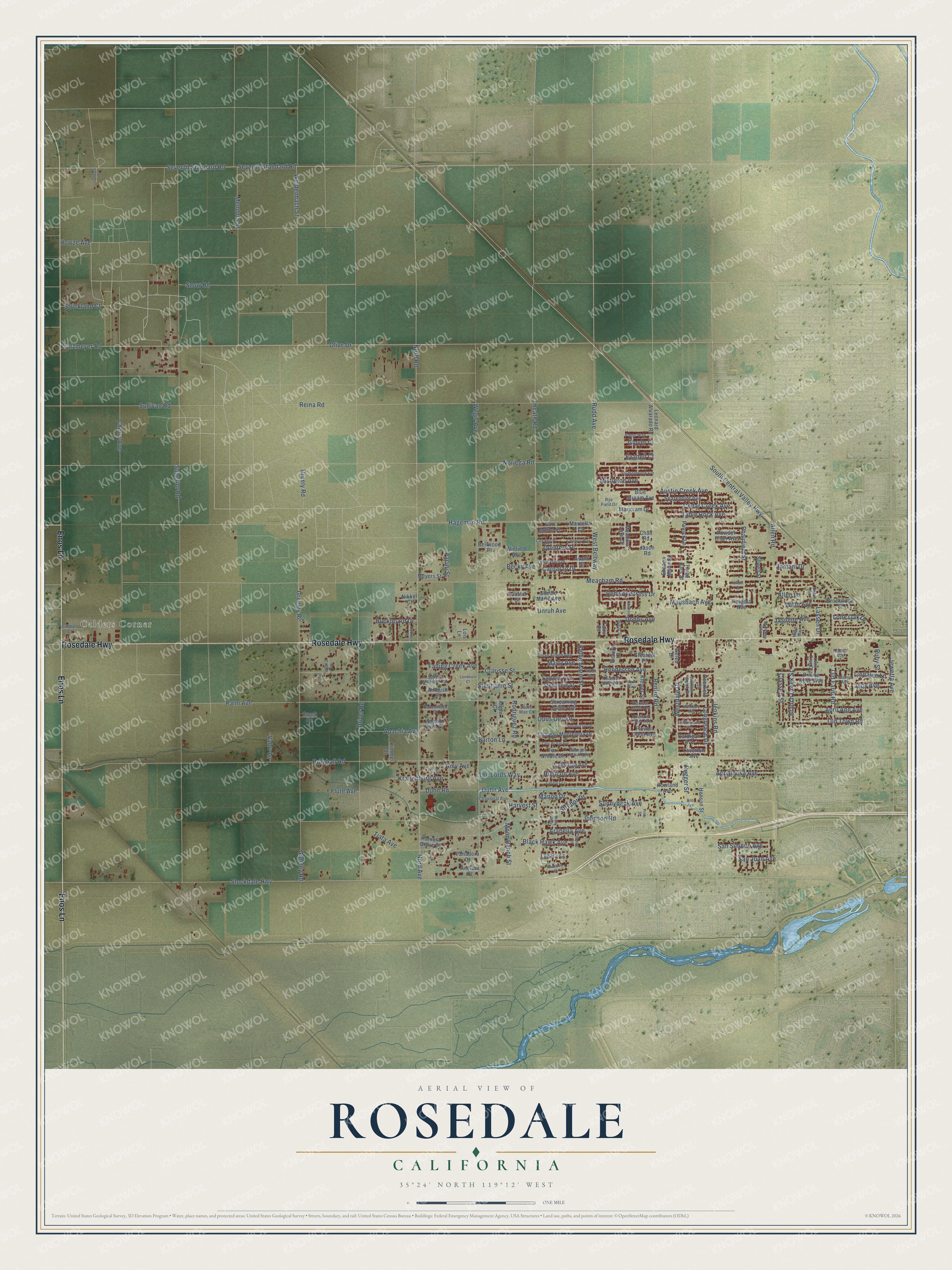
A new map of Rosedale, California, made in 2026 and printed to order on thick archival matte paper.
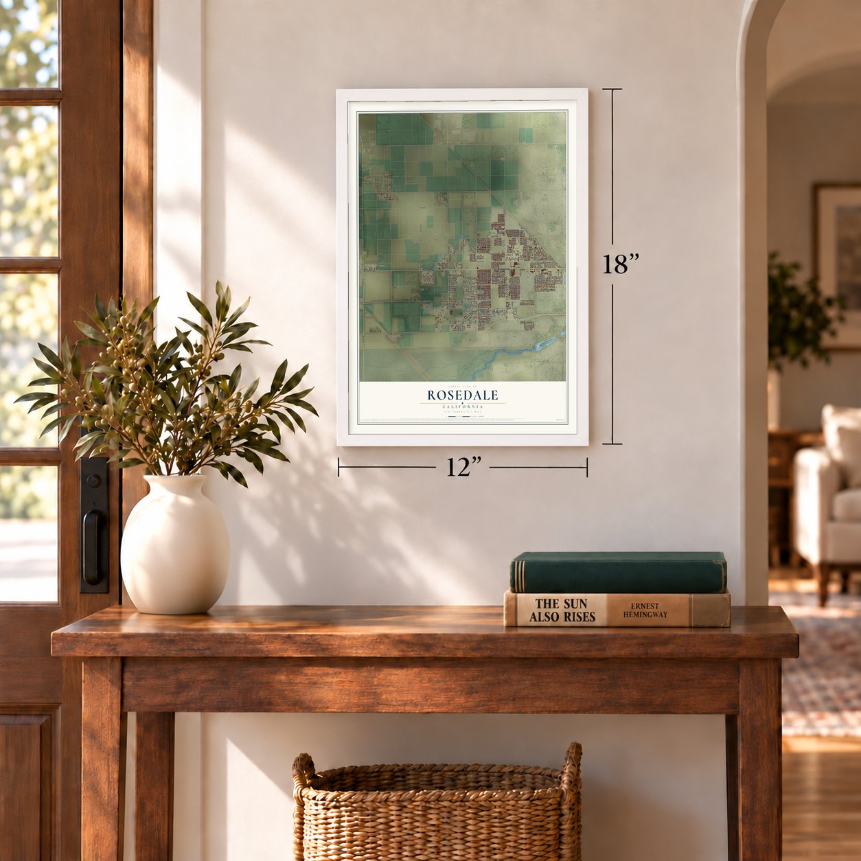
12" x 18" Archival Matte Print
A Map of Home. A Work of Art.
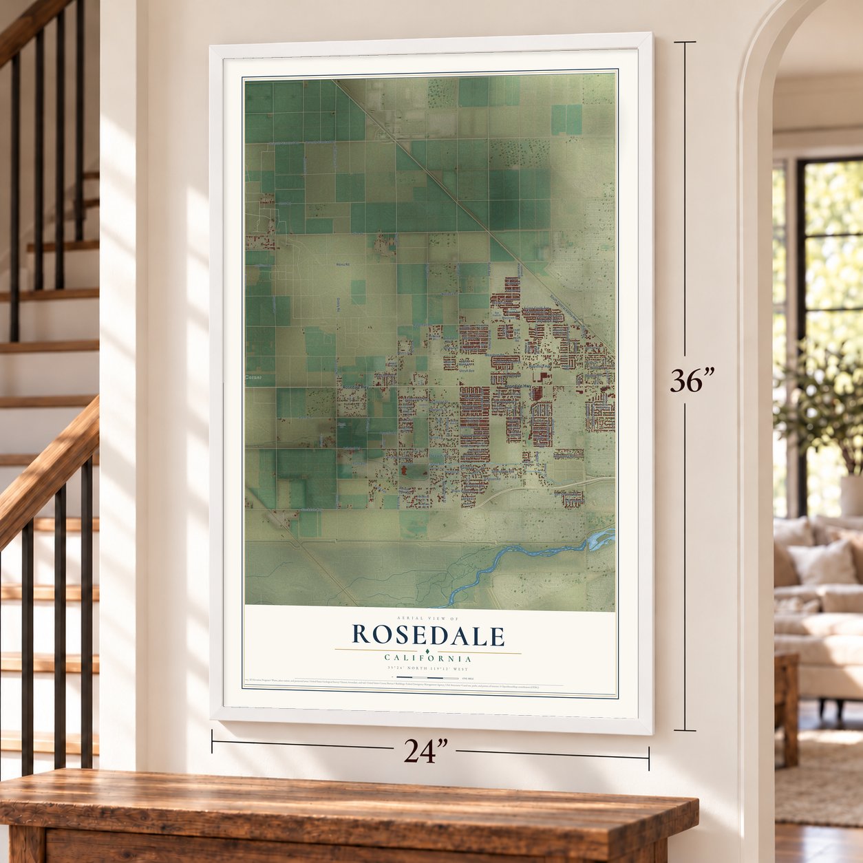
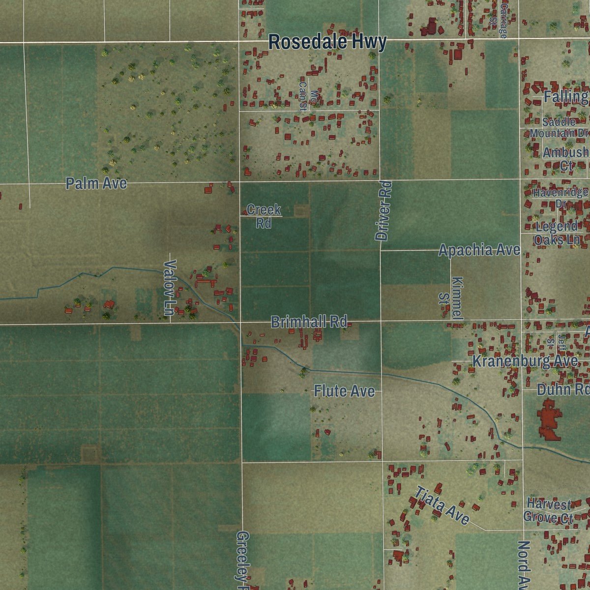
Explore Rosedale, California from a whole new perspective. Created using aerial imagery and detailed geographic data, this map captures Rosedale building by building, with labeled streets, familiar landmarks, and shaded topographical relief that highlights the natural contours of the landscape.
Combining modern data with the timeless character of a vintage atlas, this map is just as interesting up close as it is beautiful on the wall. Whether you grew up in Rosedale, spent memorable years there, or call it home today, this unique map is a great way to celebrate a place that means something to you. Zoom in on the preview to look for your street, and then order a print to put your memories on the wall.
Three ways to hang it
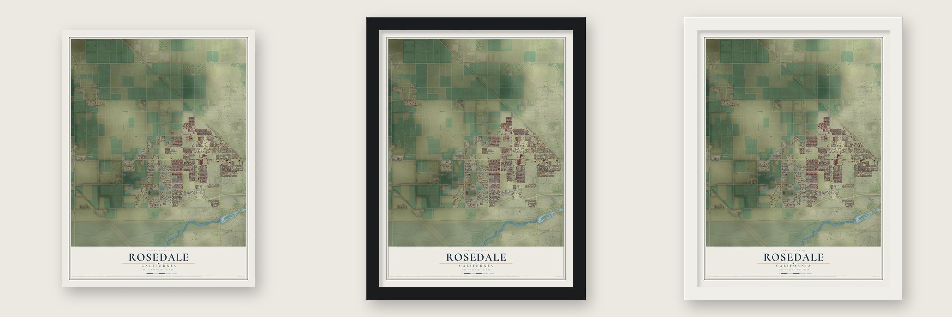
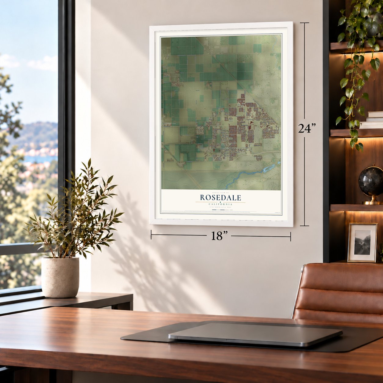
Unframed archival matte, a black wood frame or a white wood frame.
Up close
Geography Worth Displaying
This map was created using accurate cartographic data and authoritative geographic sources, including the U.S. Geological Survey and the Census Bureau. The map brings together terrain, waterways, roads, and building detail. The majority of the streets are labeled, houses are accurately depicted, and the topography is derived from government sources. Combining local data with carefully composed color and shading leads to this beautifully detailed Rosedale artwork for your wall.
Rather than simply showing street outlines, we’ve included as many of the street names as we could reasonably fit on the map while keeping their names legible. Zoom in on the high resolution preview to see exactly what’s on the map. We truly set out to create a statement piece for anyone who loves Rosedale. So whether it’s for you, or a gift for someone you love, we hope this map of Rosedale brings back fond memories.
Read the story behind this map of Rosedale, California from 2026.

About Rosedale, California
Rosedale is a community of 18,639 people in Kern County. English farmers started it as a colony in 1891, on open farmland about 10 miles west of Bakersfield. Rosedale was once a country town well outside the city, but suburban housing now surrounds it, and its population grew from 14,058 in 2010 to 18,639 in 2020.
“About that same time the Rosedale colony was established and small tracts were planted to grapes as well as various deciduous fruits.”
- A 12,000-acre colonyThe Rosedale Colony covered 12,000 acres of farmland in western Kern County, following the lead of other land subdivisions of its time. Its land was sold to settlers in 20-acre lots.
- A post office from 1891A post office opened at Rosedale in 1891, the year the colony was founded, and it stayed open until 1913.
- Top household incomeAccording to Census estimates, Rosedale has the highest household income of any community in Kern County.
Find your street
Names on the Rosedale map
Every name below is printed on this map. Look for your street, your school, the park where you played, or the pond down the road.
Places and landmarks1
- Calders Corner
Streets and roads192
- Rosedale Highway
- Enos Lane
- Heath Road
- Olive Drive
- Jenkins Road
- Duhn Avenue
- Superior Road
- Meacham Road
- Palm Avenue
- Brimhall Road
- Noriega Road
- Nord Avenue
- Nord Road
- Wegis Avenue
- Hageman Road
- Stockdale Highway
- Driver Road
- Johnson Road
- Greeley Road
- Kratzmeyer Road
- Rudd Avenue
- Renfro Road
- Reina Road
- West Beltway
- Seventh Standard Road
- Mendota Street
- Cherry Avenue
- Clarisse Street
- Sullivan Road
- Old Farm Road
Show all 192 streets
- Moon Ranch Street
- Weidenbach Street
- Westdale Drive
- Howze Avenue
- South Central Valley Highway
- Old Town Road
- Pacini Street
- Phairfield Street
- Greely Road
- Cedar Creek Avenue
- Tiata Avenue
- Branch Creek Street
- Black Hawk Avenue
- Mausbach Avenue
- Manon Drive
- Rugger Street
- Table Rock Avenue
- Snow Road
- Apachia Avenue
- Kranenburg Avenue
- The Lords Way
- Barton Lane
- Stephanie Street
- Appaloosa Avenue
- Dobbs Avenue
- Strebor Drive
- Jewetta Avenue
- Opus One Drive
- Kellie Marie Street
- Longreach Drive
- Henderson Avenue
- Falling Creek Avenue
- Redwood Pass Drive
- Lone Oak Drive
- Austin Creek Avenue
- Sunnybank Avenue
- San Simeon Avenue
- Amy Avenue
- Rubicon Avenue
- Classen Street
- Quintero Place
- Carparzo Drive
- April Ann Avenue
- Greeley Rc
- Jasmine Avenue
- Buckboard Drive
- Strickland Court
- Becky Avenue
- Arabella Avenue
- Marty Avenue
- Rodriguez Road
- Lindalee Lane
- Mistletoe Avenue
- San Juan Avenue
- Judy Avenue
- Unruh Avenue
- Lassen Drive
- Winn Avenue
- Jomani Drive
- Flute Avenue
- Valov Lane
- Duhn Road
- Harvest Street
- Evadell Court
- Glover Court
- Allen Road
- Allen Lane
- Ruby Street
- Rowland Avenue
- Chateau Montelena Drive
- Leonard Alvarado Road
- Screaming Eagle Avenue
- Searspoint Avenue
- Klemer Street
- Patrick Lane
- Stephenie Street
- Sammie Avenue
- Calistoga Avenue
- Brockridge Court
- Prairie Rose Way
- Marjoram Drive
- Blue Stream Avenue
- Meyers Street
- Kimmel Street
- Shellie Marie Avenue
- Powder River Avenue
- Winfield Avenue
- Three Bars Street
- Laverton Avenue
- Cardigan Avenue
- Harvest Grove Court
- Greatest Place
- San Marco Place
- Legend Oaks Lane
- Henson Street
- Legacy Court
- Flower Crest Avenue
- Meadow Lake Drive
- Deerfield Street
- Far Niente Drive
- Bellwood Place
- Anelura Court
- Panadero Court
- Welch Drive
- Sewell Street
- Victory Lane
- Marcella Court
- Ambush Court
- Pergola Avenue
- Shauna Marie Street
- Avanti Drive
- Angie Court
- Nikkel Court
- Coastal Court
- Creek Road
- Lois Lane
- Jason Road
- Chad Road
- Tami Court
- Susan Eileen Avenue
- Chaparral Avenue
- Saddle Mountain Drive
- Van Buren Place
- Pams Way
- Cusano Place
- Willow Brook Street
- Havenridge Drive
- Harvest Crest Avenue
- Gribben Court
- Georges Letour Avenue
- Lone Tree Court
- Thunder Valley Road
- Orchard Crest Avenue
- Mamie Avenue
- Sugar Street
- Dollie Mae Court
- Rye Field Drive
- Batch Lane
- Handel Avenue
- Southernwood Avenue
- Cafaro Court
- Tallus Ranch Drive
- Clos du Val Avenue
- Castlemaine Avenue
- Westbury Avenue
- Sequoia Grove
- Calabria Way
- Carriage Street
- Welty Way
- Landeron Court
- Mildred Lane
- Benny Lane
- Maher Way
- Tradition Court
- Ricoh Way
- Albert Way
- Pinto Street
- De Swan Court
- Mc Cain Street
- Atrium Court
- Jeff Street
- Bob Avenue
Names are listed as they appear on the printed map. Zoom into the product photos to find them.
The art of mapping a place
How This Map Was Made
Real places. Remarkable detail. Discover the layers that turn geographic data into a map of home.

The view from above
Aerial imagery reveals the character of the land: woodland, open fields, and the patterns of a place.

The shape of the land
Elevation data brings hills, valleys, and subtle changes in the landscape into view.

The details of home
Roads, waterways, and building footprints come together to make the map feel unmistakably local.

Geography becomes art
Considered color, shading, and typography bring the layers together in a map made for your wall.


Process illustrated with Mendon, Massachusetts. Aerial imagery: USDA NAIP. Terrain: USGS 3D Elevation Program. Map details and finished artwork: KNOWOL.
The Details
About This Print
Choose an archival matte print, or a black or white Ayous wood frame. The archival matte print is unframed.
Select your size and finish above to see the matching product image and price.
Materials & Craftsmanship
A contemporary map with the character of a classic atlas, printed on archival matte paper. Optional frames are made from Ayous wood.
Your printed map does not include the watermark shown in the full-map preview.
Shipping & Delivery
Free shipping within the United States. Every print is made to order in the USA.
Buying a gift? Add a note in your cart and we'll include it. We never put prices in the package.
Prints ship within 2 to 3 business days. Allow 7 to 10 days total from ordering for delivery. Timing may vary during holidays or periods of high order volume.
Read our shipping policy.
Returns and damaged prints
Each print is made to order. Change-of-mind refunds are not available after production.
If your print arrives damaged, misprinted or incorrect, contact support@knowol.com within 30 days of receiving it. Include your order number, photos and a description of the issue.
Read our full refund and replacement policy. For questions about your order, email support@knowol.com.
Find your town
Looking for another city?
Find a map of home in our California collection, or any town in the country.
Nearby
Maps of towns near Rosedale
Know someone from one of these towns? Their map makes a great gift.
 Rio Bravo
, California
From $39.99See the map
 Greenacres
, California
From $39.99See the map
 Stebbins
, California
From $39.99See the map
More maps nearby: Shafter, Cherokee Strip, Mexican Colony, Smith Corner and Olde Stockdale.