
Search for another town




Free U.S. delivery 7 to 10 days after you order
Salisbury, North Carolina Map Art
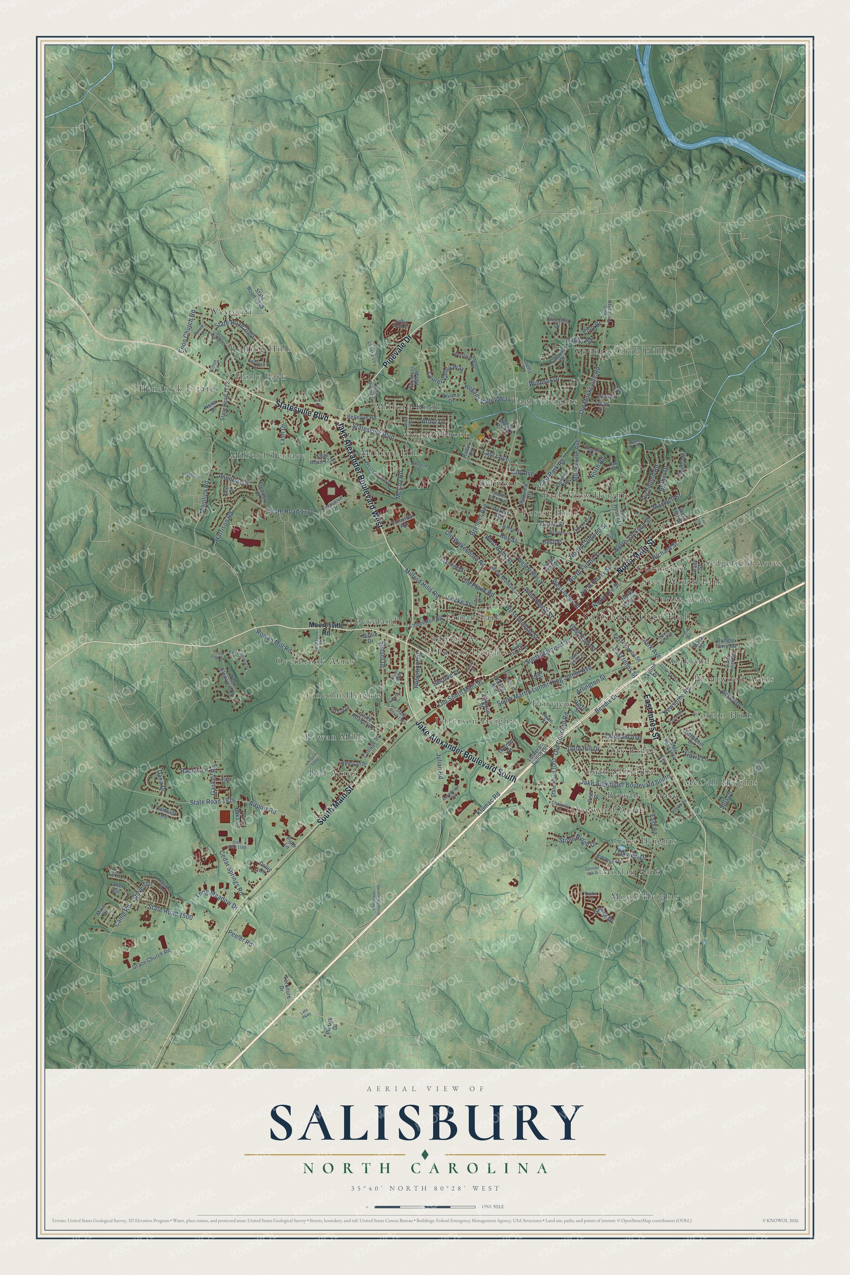
Building by building, with labeled streets and shaded relief.
12" x 18" Archival Matte Print
A Map of Home. A Work of Art.
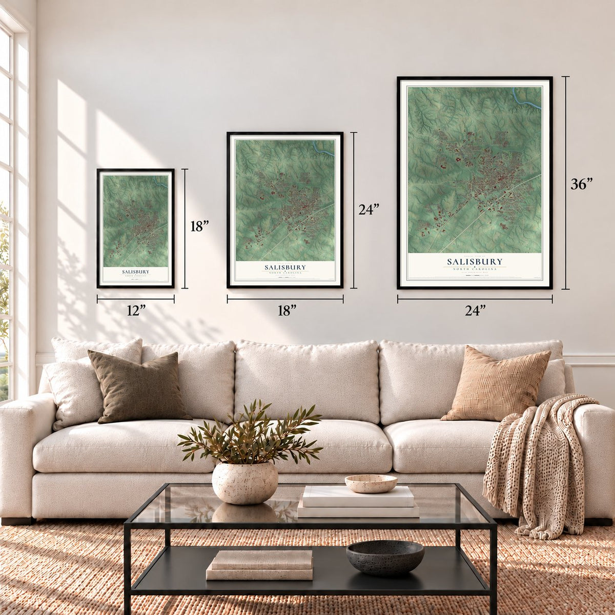
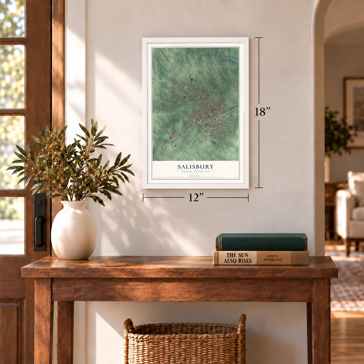
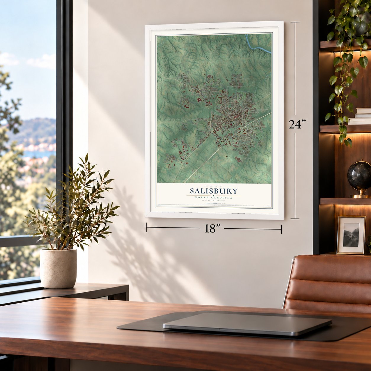
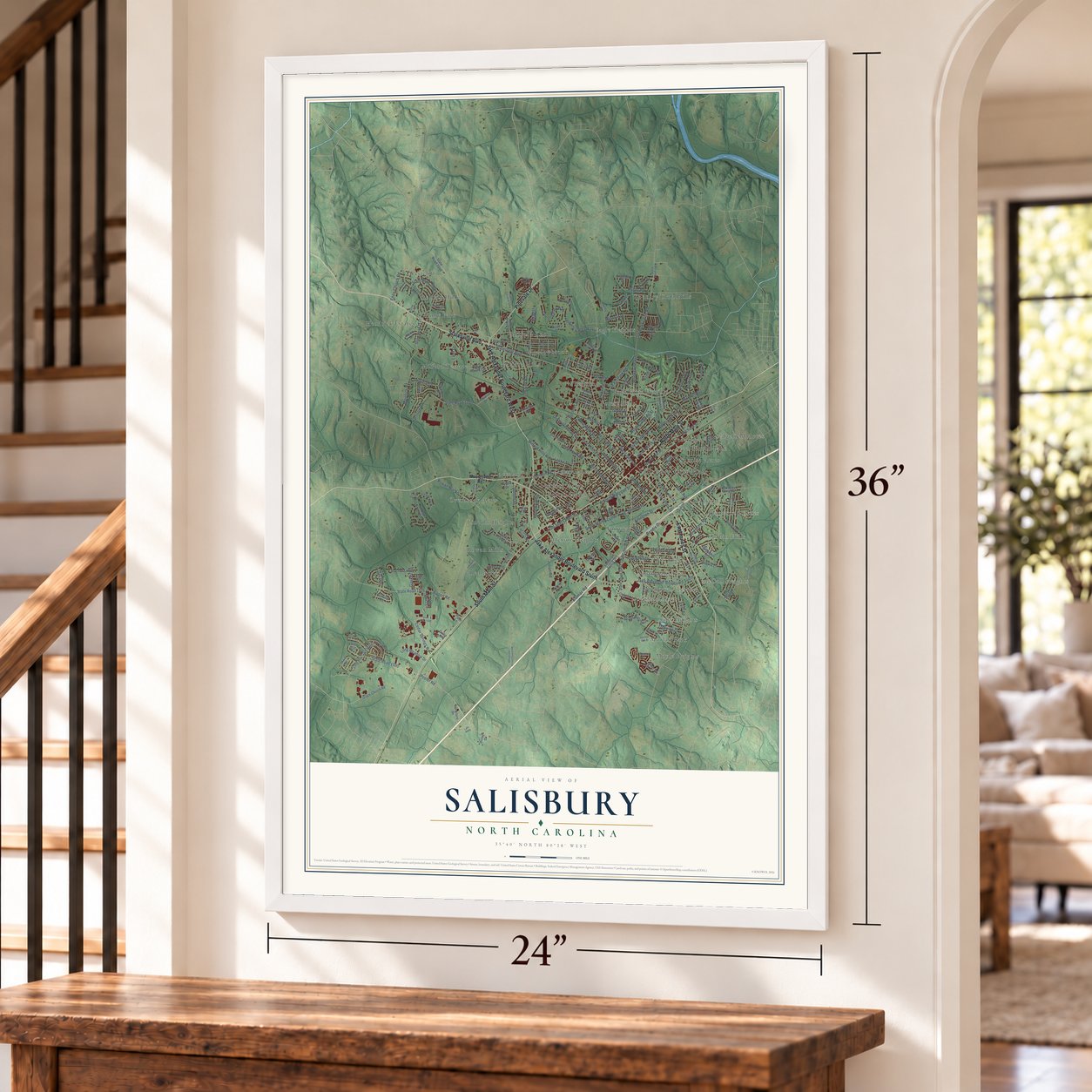
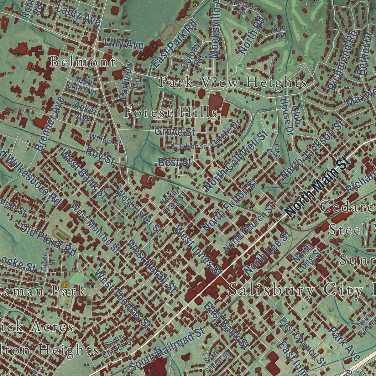
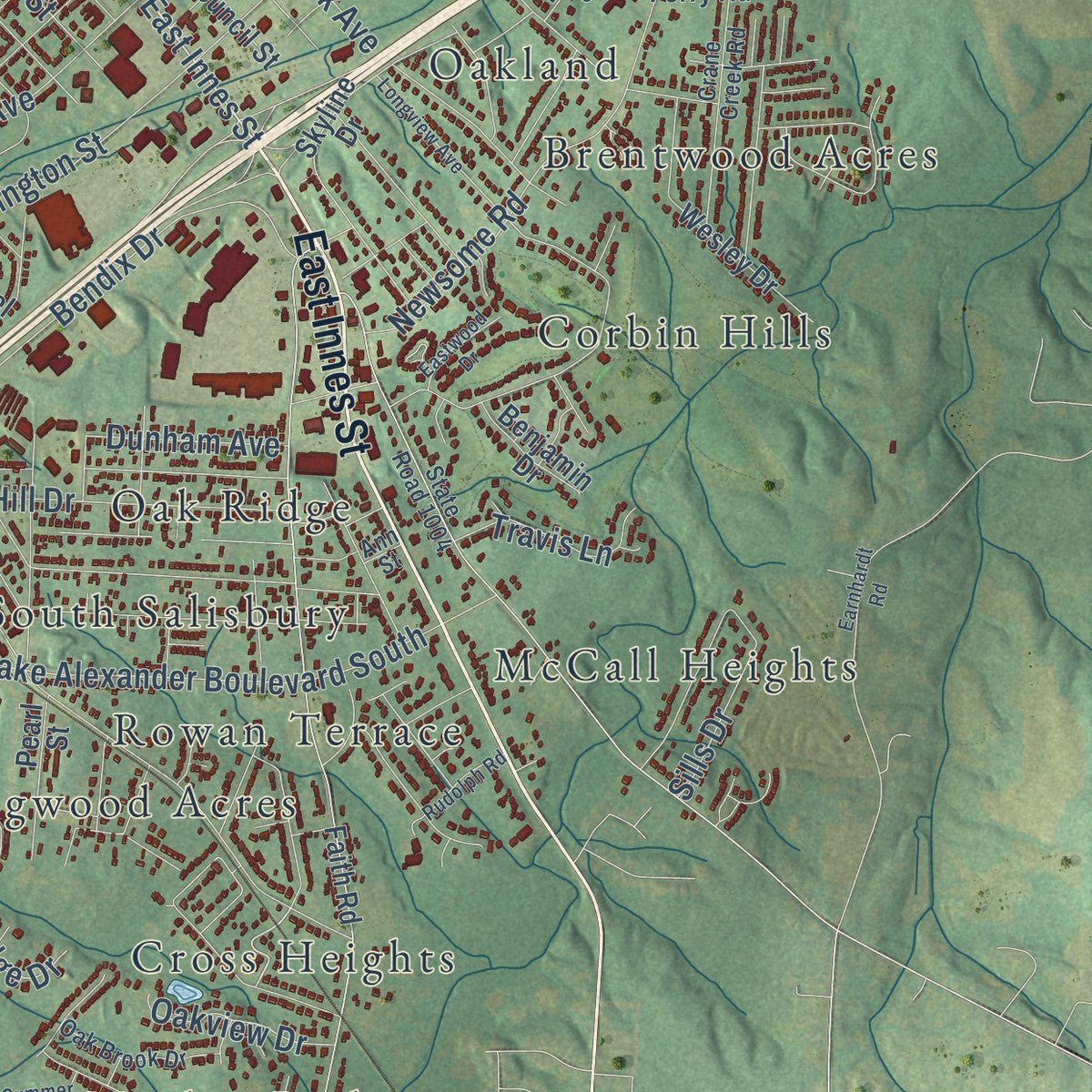
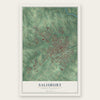
Explore Salisbury, North Carolina from a whole new perspective. Created using aerial imagery and detailed geographic data, this map captures Salisbury building by building, with labeled streets, familiar landmarks, and shaded topographical relief that highlights the natural contours of the landscape.
Combining modern data with the timeless character of a vintage atlas, this map is just as interesting up close as it is beautiful on the wall. Whether you grew up in Salisbury, spent memorable years there, or call it home today, this unique map is a great way to celebrate a place that means something to you. Zoom in on the preview to look for your street, and then order a print to put your memories on the wall.
Three ways to hang it
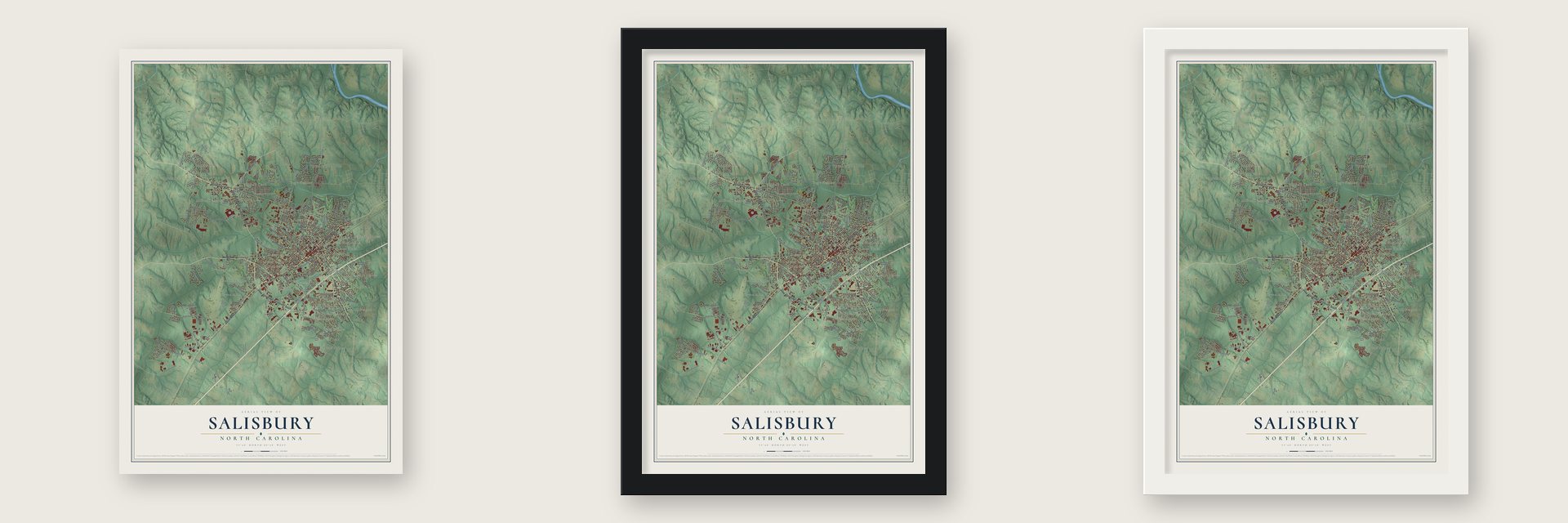
Unframed archival matte, a black wood frame or a white wood frame.
Up close
Geography Worth Displaying
This map was created using accurate cartographic data and authoritative geographic sources, including the U.S. Geological Survey and the Census Bureau. The map brings together terrain, waterways, roads, and building detail. The majority of the streets are labeled, houses are accurately depicted, and the topography is derived from government sources. Combining local data with carefully composed color and shading leads to this beautifully detailed Salisbury artwork for your wall.
Rather than simply showing street outlines, we’ve included as many of the street names as we could reasonably fit on the map while keeping their names legible. Zoom in on the high resolution preview to see exactly what’s on the map. We truly set out to create a statement piece for anyone who loves Salisbury. So whether it’s for you, or a gift for someone you love, we hope this map of Salisbury brings back fond memories.
Read the story behind this map of Salisbury, North Carolina from 2026.
Find your street
Names on the Salisbury map
Every name below is printed on this map. Look for your street, your school, the park where you played, or the pond down the road.
Places and landmarks39
- Salisbury City Hall
- Belmont
- Brentwood Acres
- Cedarcrest
- Corbin Hills
- Country Club Hills
- Cross Heights
- Dogwood Acres
- Eagle Heights
- Eaman Park
- Fairview
- Forest Hills
Show all 39 places
- Fulton Heights
- Hendrick Estates
- Holly Park
- Jefferson Heights
- Lincoln Heights
- Lockeland
- Ludwick Acres
- McCall Heights
- Meadowbrook
- Milford Hills
- Milford Knoll
- Milford Terrace
- Morlan Park
- Moyle Heights
- Oak Ridge
- Oakland
- Overbrook Acres
- Park View Heights
- Red Acres
- Rolling Hills
- Rowan Mills
- Rowan Terrace
- Sedgefield Acres
- South Salisbury
- Steel Worth Park
- Sunrise Acres
- Westcliff
Streets and roads198
- Jake Alexander Boulevard West
- Statesville Boulevard
- North Main Street
- East Innes Street
- Jake Alexander Boulevard South
- Pinevale Drive
- South Main Street
- West Innes Street
- Rowan Mill Road
- Peeler Road
- Sunset Drive
- Dana Drive
- State Road 1516
- South Martin Luther King Junior Avenue
- Old Concord Road
- Brenner Avenue
- Airport Road
- Klumac Road
- State Road 1710
- West Horah Street
- North Jackson Street
- Majolica Road
- Old Wilkesboro Road
- Harrison Road
- Old Mocksville Road
- North Lee Street
- Mocksville Avenue
- Enon Church Road
- Julian Road
- Park Avenue
Show all 198 streets
- West Bank Street
- Camp Road
- State Road 1500
- Cedar Springs Road
- Newsome Road
- State Road 2001
- Laurel Valley Way
- Gold Hill Drive
- North Caldwell Street
- South Railroad Street
- Richmond Road
- Bendix Drive
- North Fulton Street
- Long Meadow Drive
- Grove Street
- Rugby Road
- Milford Hills Road
- Old Plank Road
- West Thomas Street
- Arbor Drive
- Bethel Drive
- Hogans Valley Way
- McCoy Road
- Arlington Street
- Old South Main Street
- Maxwell Street
- Locke Street
- Stone Ridge Drive
- East Bank Street
- Steven Drive
- Richard Street
- Polo Drive
- Gaskey Road
- Windsor Drive
- East Park Road
- Travis Lane
- Lantz Avenue
- Imperial Drive
- Oakview Drive
- Dunham Avenue
- Lash Drive
- Rosemont Street
- Second Street
- North Road
- Sills Drive
- Garner Drive
- Rachel Lane
- Lilly Avenue
- Roy Street
- Best Street
- Mooresville Road
- Lincolnton Road
- Camelot Road
- Circle Drive
- State Road 1526
- Faith Road
- State Road 1722
- North Church Street
- North Long Street
- Bringle Ferry Road
- West Monroe Street
- East Council Street
- State Road 1002
- West Fisher Street
- Ryan Street
- West Glenview Drive
- Lutheran Synod Drive
- Camelot Drive
- Club House Drive
- Wesley Drive
- Overhill Road
- Alan Circle
- State Road 1720
- Tall Oaks Circle
- Mike Drive
- Vance Avenue
- Harrel Street
- North Park Drive
- Standish Street
- Dollie Circle
- Grace Church Road
- Skyline Drive
- State Road 2048
- Sudley Circle
- Parkview Circle
- West 15th Street
- Churchill Drive
- Spyglass Hill Place
- Bellevue Road
- Industrial Avenue
- Mack Street
- Riviera Drive
- Grady Street
- Pearl Street
- Freedom Drive
- Ackert Avenue
- Colony Road
- Calhoun Street
- Executive Drive
- Benjamin Drive
- Hill Street
- Cottage Street
- Furniture Drive
- Divinity Drive
- Pietryk Drive
- Sells Road
- Troon Drive
- Birdie Drive
- Robin Road
- Neita Drive
- Piper Lane
- North Milford Drive
- State Road 1004
- State Road 1910
- State Road 1529
- South Church Street
- West Colonial Drive
- North Craig Street
- Corporate Circle
- Crane Creek Road
- Keystone Drive
- Chantilly Lane
- South Link Avenue
- Oak Brook Drive
- Muirfield Way
- Lumen Christie Lane
- American Drive
- Oak Road
- Fox Fire Drive
- Hemlock Drive
- Ann Street
- Willow Street
- Titan Drive
- Drake Lane
- Wilton Lane
- Hunt Boulevard
- Sumter Court
- East Glenview Drive
- Airport Loop
- Hidden Creek Circle
- State Road 2002
- South Shaver Street
- Lake Drive
- Henderson Grove Church Road
- Earnhardt Road
- Crosby Street
- Candlewick Drive
- Holly Avenue
- Longview Avenue
- Welch Road
- North Cedar Street
- State Road 1588
- Hamilton Drive
- Dogwood Road
- Rudolph Road
- Woodson Street
- Lumber Street
- Eastwood Drive
- Summer Oak Drive
- Forest Glen Drive
- Grace Street
- Wiltshire Place
- Floral Avenue
- Larson Drive
- Spruce Drive
- East 17th Street
- Drew Circle
- Lane Parkway
Names are listed as they appear on the printed map. Zoom into the product photos to find them.
About Salisbury, North Carolina
Salisbury is a city of 35,540 people in Rowan County, in North Carolina's Piedmont. It has been the county seat since 1753. That year a county trustee was told to enter 40 acres for the seat, and public buildings went up. The deed came on February 11, 1755. In it, John Carteret, 2nd Earl Granville, gave 635 acres for the "Salisbury Township." Old Native American trading paths crossed here, so the town grew into a market center on the Great Wagon Road.
The empty Maxwell Chambers textile mill in Salisbury, then 20 years old, was refitted for the job. It was built for 2,500 men at most, but by 1864 more than 10,000 had arrived. The prisoners were moved out by February 1865. That April, Union Major General George Stoneman wrecked the prison and the rest of the Salisbury Arsenal. Part of the prison ground became the Salisbury National Cemetery. It began with the thousands of Union soldiers who died in the prison.
- Named for a marquisA 1939 state guide gives 1753 as the founding year and 1755 as the year the town was incorporated. It says the name honors both the Marquis of Salisbury and the cathedral town in England. When Salisbury became the county seat, Rowan County reached all the way to the Mississippi River.
- Andrew Jackson's law deskAndrew Jackson studied law in Salisbury. The desk he used can be seen on the town's walking tour. The Rowan Museum fills three old buildings: the 1854 county courthouse, the Utzman-Chambers House from about 1815 and the 1820 Josephus Hall House. Dr. Hall was the surgeon at the Confederate prison.
- Home of Cheerwine and Food LionThe soft drink Cheerwine and the Food Lion grocery chain are both based in Salisbury. Rack Room Shoes got its start here too. Food Lion's headquarters is one of the city's largest employers.
Keep exploring North Carolina
Salisbury is one of 951 North Carolina towns we've mapped. Every dot on the map is a print of its own.
The search covers every state, North Carolina first.
Near Salisbury
Order 2 or more town maps and save 10%. Shown in the size and finish you picked above, so they hang as a set.
- East Spencer 12" x 18" / Archival Matte Print $39.99
- Granite Quarry 12" x 18" / Archival Matte Print $39.99
- Spencer 12" x 18" / Archival Matte Print $39.99


More maps nearby: Faith, China Grove, Churchland, Rockwell and Landis.
The art of mapping a place
How This Map Was Made
Real places. Remarkable detail. Discover the layers that turn geographic data into a map of home.

The view from above
Aerial imagery reveals the character of the land: woodland, open fields, and the patterns of a place.

The shape of the land
Elevation data brings hills, valleys, and subtle changes in the landscape into view.

The details of home
Roads, waterways, and building footprints come together to make the map feel unmistakably local.

Geography becomes art
Considered color, shading, and typography bring the layers together in a map made for your wall.


Process illustrated with Mendon, Massachusetts. Aerial imagery: USDA NAIP. Terrain: USGS 3D Elevation Program. Map details and finished artwork: KNOWOL.
The Details
About This Print
Choose an archival matte print, or a black or white Ayous wood frame. The archival matte print is unframed.
Select your size and finish above to see the matching product image and price.
Materials & Craftsmanship
A contemporary map with the character of a classic atlas, printed on archival matte paper. Optional frames are made from Ayous wood.
Your printed map does not include the watermark shown in the full-map preview.
Shipping & Delivery
Free shipping within the United States. Every print is made to order in the USA.
Buying a gift? Add a note in your cart and we'll include it. We never put prices in the package.
Prints ship within 2 to 3 business days. Allow 7 to 10 days total from ordering for delivery. Timing may vary during holidays or periods of high order volume.
Read our shipping policy.
Returns and damaged prints
Each print is made to order. Change-of-mind refunds are not available after production.
If your print arrives damaged, misprinted or incorrect, contact support@knowol.com within 30 days of receiving it. Include your order number, photos and a description of the issue.
Read our full refund and replacement policy. For questions about your order, email support@knowol.com.