
Search for another town


Free U.S. delivery 7 to 10 days after you order
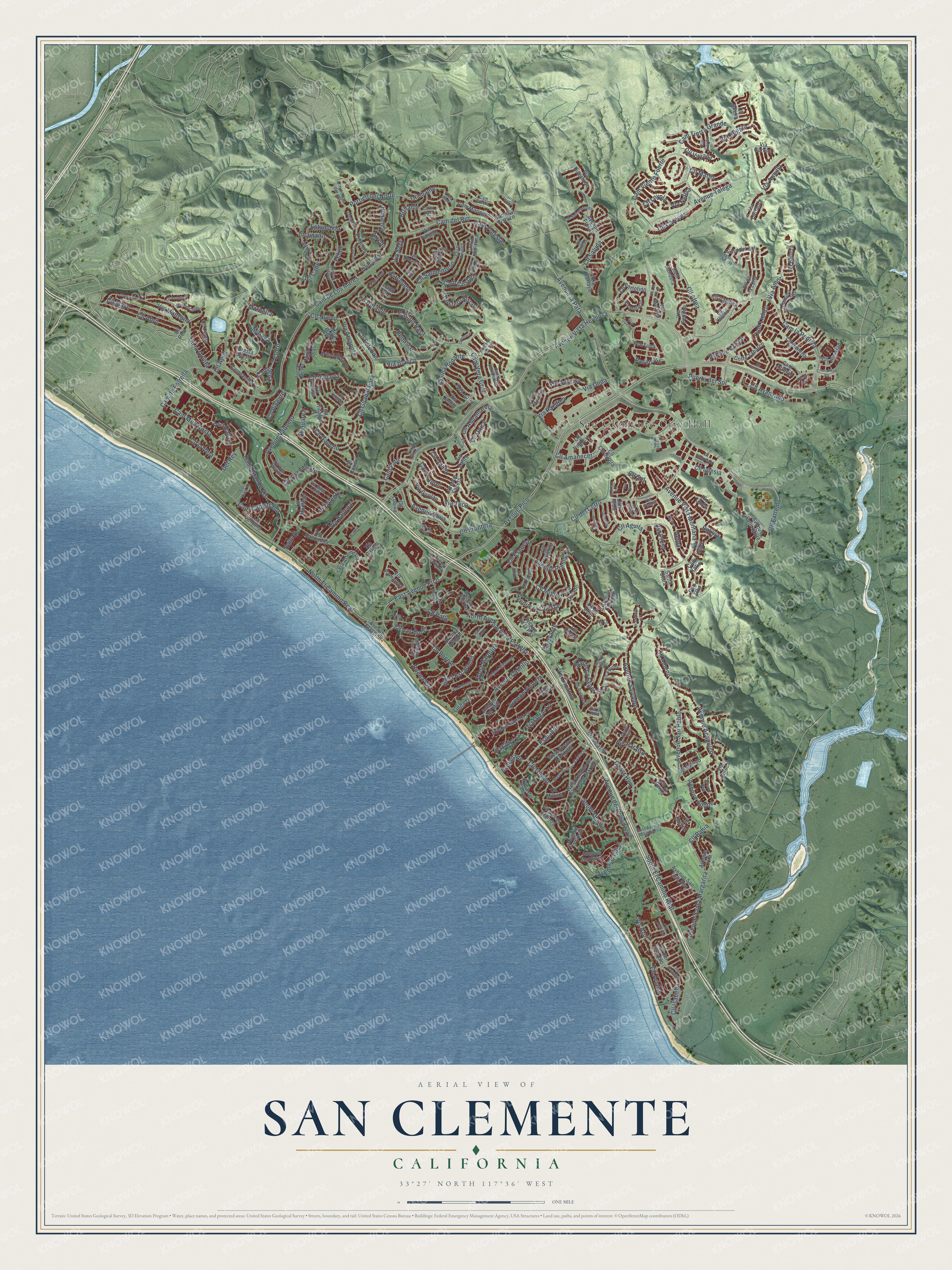
San Clemente, California Map Art
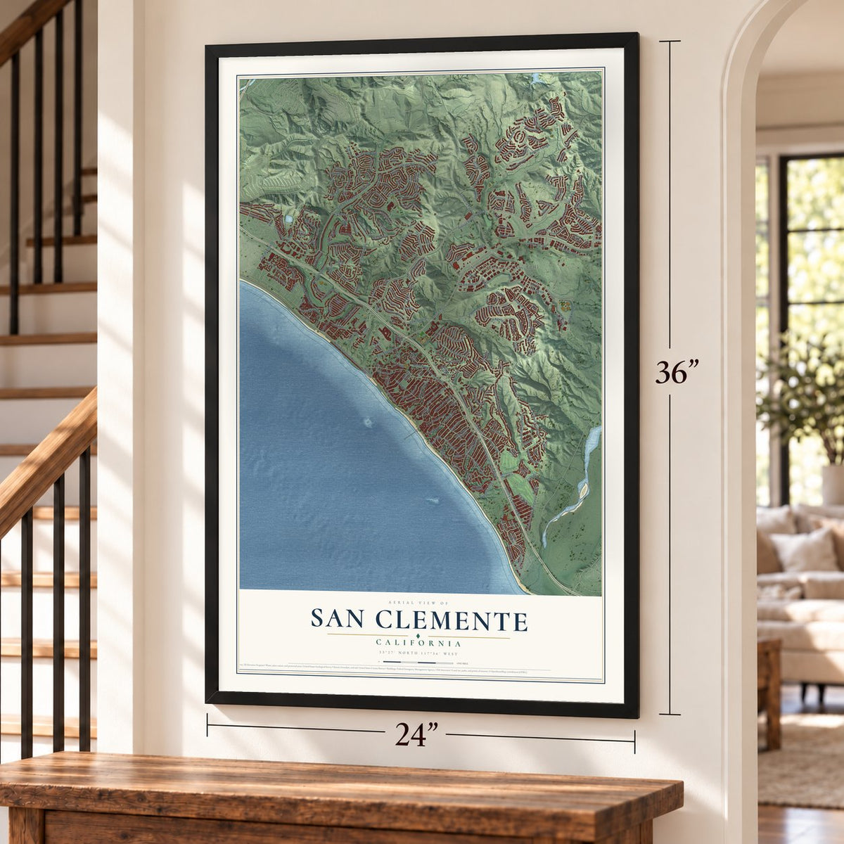
Building by building, with labeled streets and shaded relief.
12" x 18" Archival Matte Print
A Map of Home. A Work of Art.
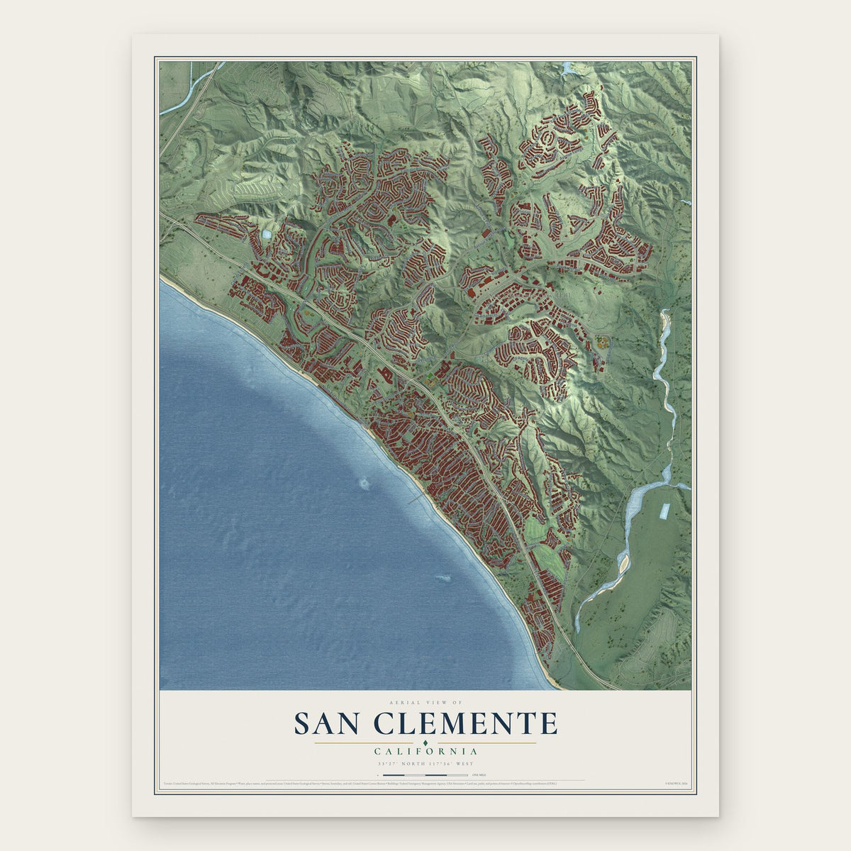
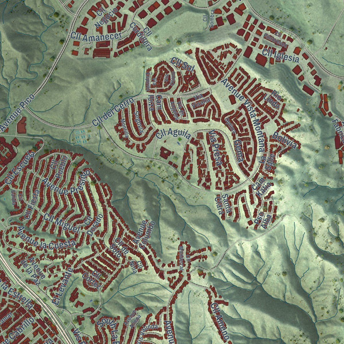
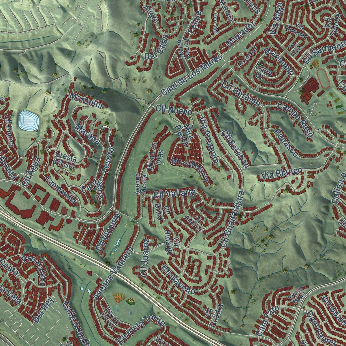
Explore San Clemente, California from a whole new perspective. Created using aerial imagery and detailed geographic data, this map captures San Clemente building by building, with labeled streets, familiar landmarks, and shaded topographical relief that highlights the natural contours of the landscape.
Combining modern data with the timeless character of a vintage atlas, this map is just as interesting up close as it is beautiful on the wall. Whether you grew up in San Clemente, spent memorable years there, or call it home today, this unique map is a great way to celebrate a place that means something to you. Zoom in on the preview to look for your street, and then order a print to put your memories on the wall.
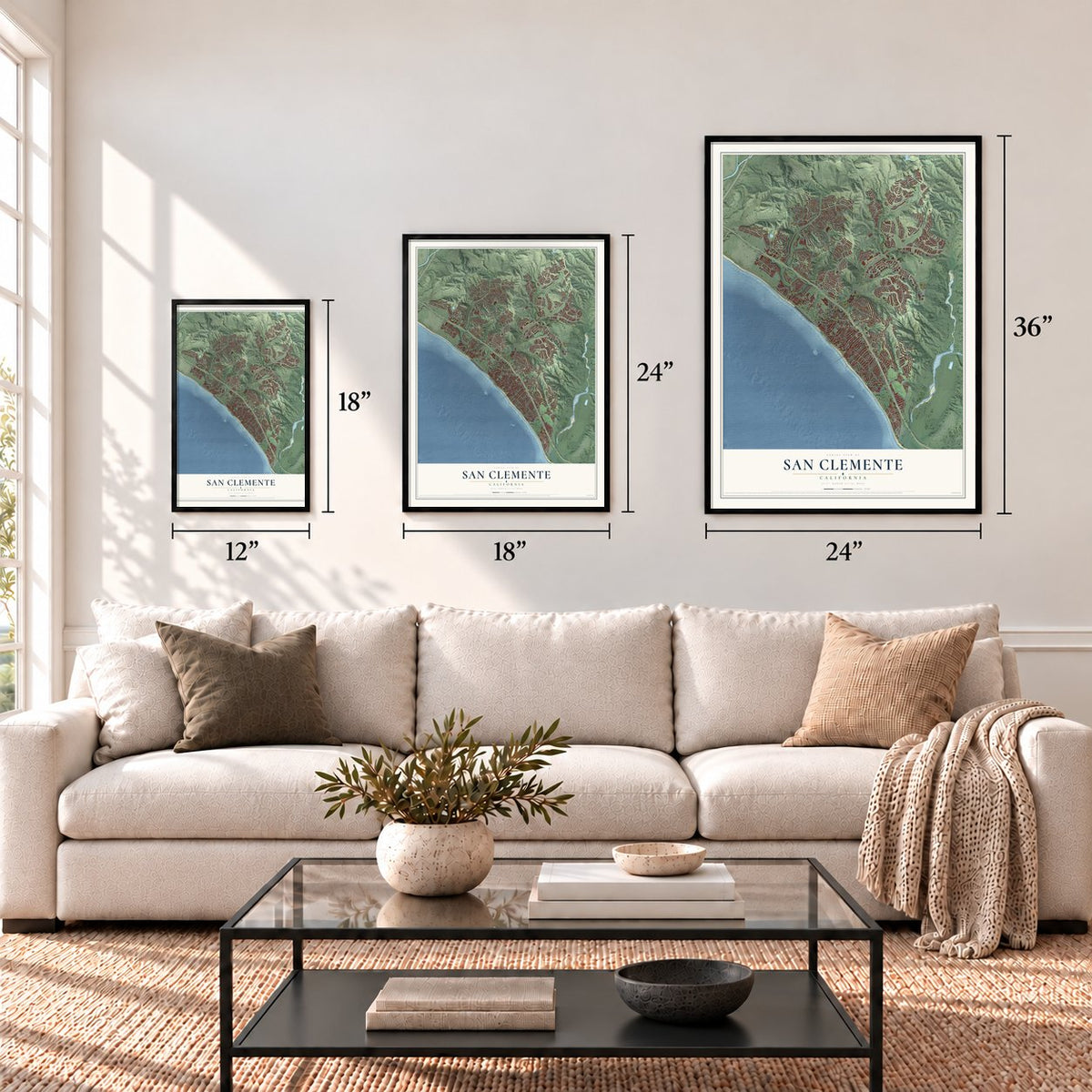
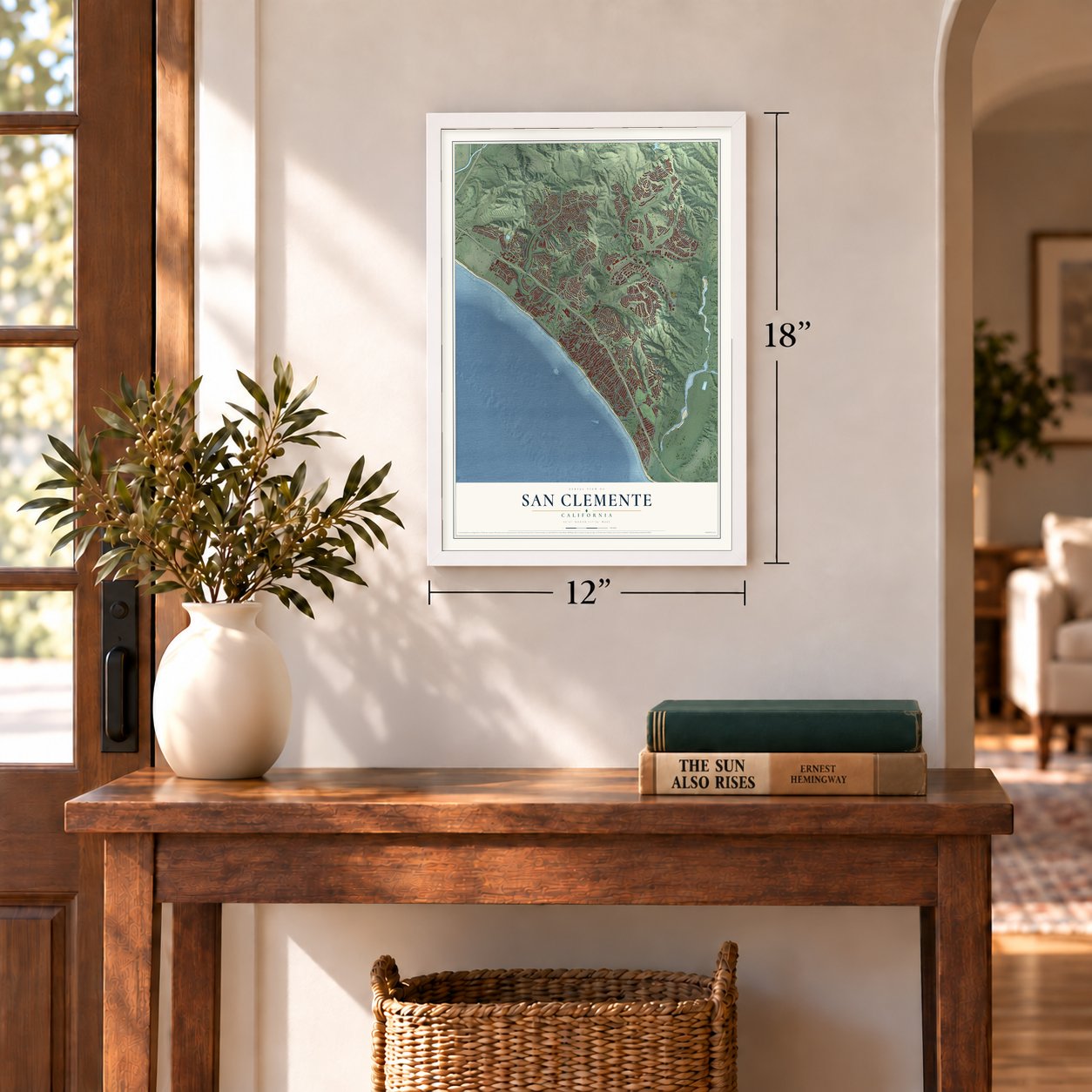
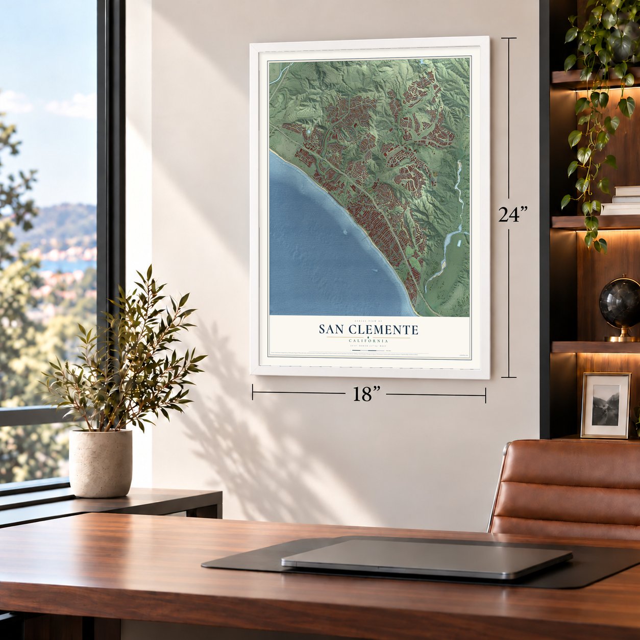
Three ways to hang it
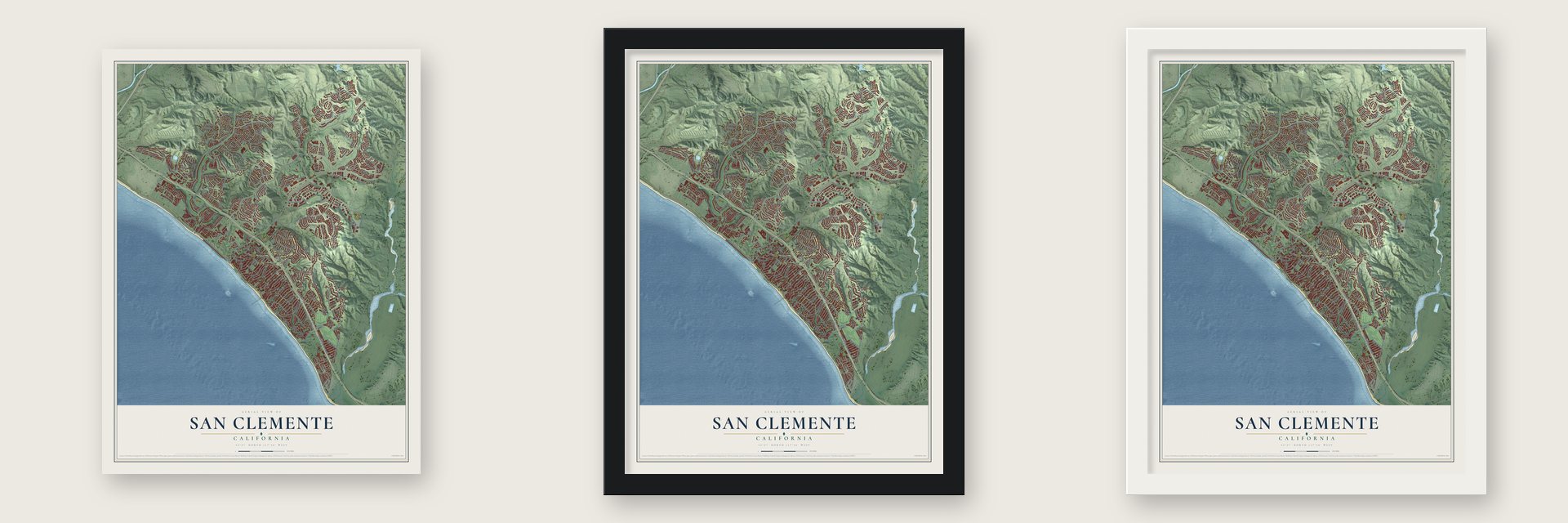
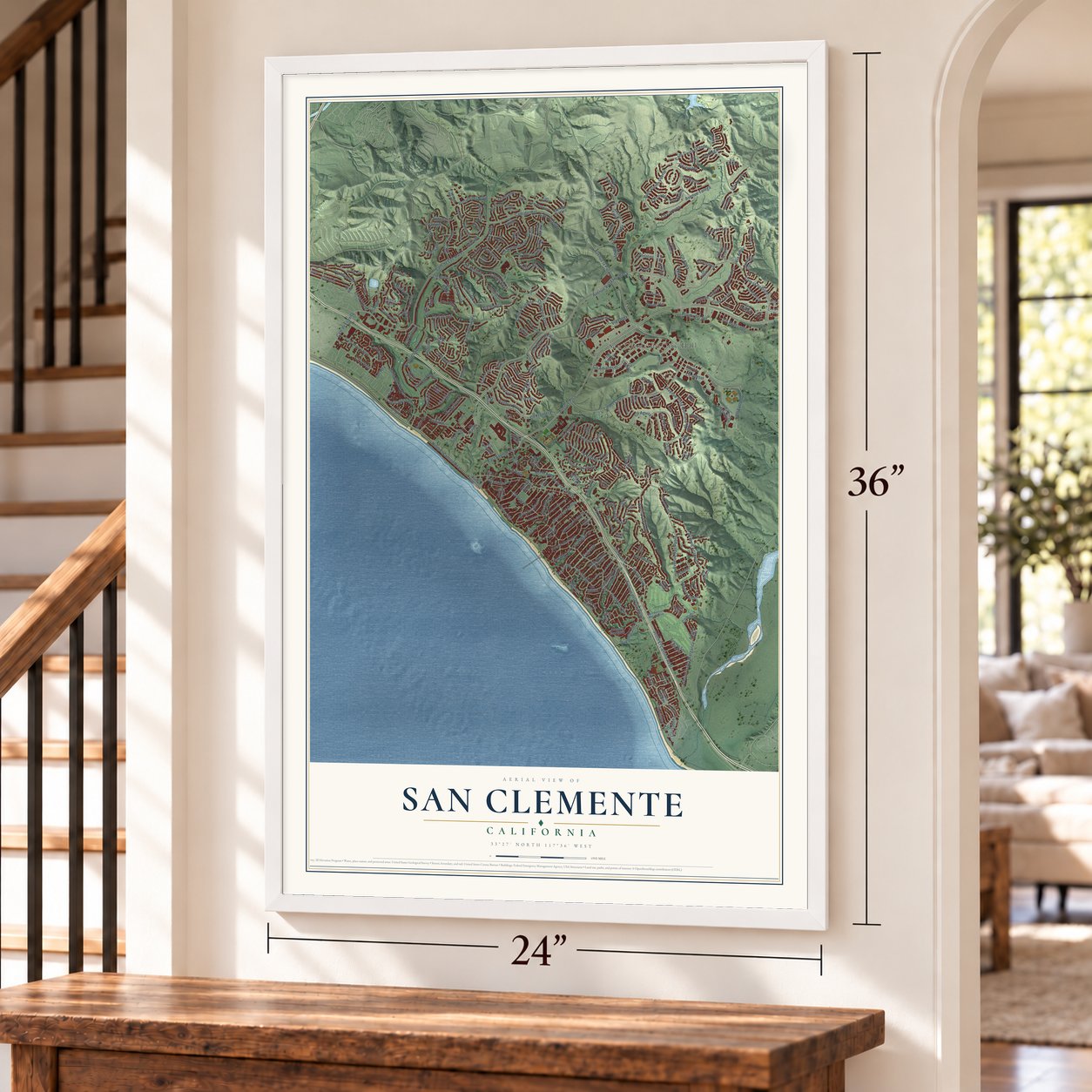
Unframed archival matte, a black wood frame or a white wood frame.
Up close
Geography Worth Displaying
This map was created using accurate cartographic data and authoritative geographic sources, including the U.S. Geological Survey and the Census Bureau. The map brings together terrain, waterways, roads, and building detail. The majority of the streets are labeled, houses are accurately depicted, and the topography is derived from government sources. Combining local data with carefully composed color and shading leads to this beautifully detailed San Clemente artwork for your wall.
Rather than simply showing street outlines, we’ve included as many of the street names as we could reasonably fit on the map while keeping their names legible. Zoom in on the high resolution preview to see exactly what’s on the map. We truly set out to create a statement piece for anyone who loves San Clemente. So whether it’s for you, or a gift for someone you love, we hope this map of San Clemente brings back fond memories.
Read the story behind this map of San Clemente, California from 2026.

Find your street
Names on the San Clemente map
Every name below is printed on this map. Look for your street, your school, the park where you played, or the pond down the road.
Places and landmarks1
- San Clemente City Hall
Streets and roads290
- Avenue Pico
- Avenue Vista Hermosa
- South El Camino Real
- Cam la Pedriza
- Coast Highway
- Avenue Cabrillo
- Puerta del Sol
- Cll la Quinta
- Cam Laurel
- Paseo Vis
- Portico del Norte
- Palm Drive
- North El Camino Real
- East Avenue Pico
- Diamante
- Cam de Los Mares
- North Avenue de la Estrella
- Riachuelo
- Esplande
- Cam Faro
- Gema
- Avenue la Pata
- Cll Frontera
- Cam Vera Cruz
- Cll del Cerro
- Avenue Presidio
- Avenue del Presidente
- Avenue Talega
- Avenue Salvador
- Cll Guadalajara
Show all 290 streets
- Avenue Vista Montana
- South Ola Vis
- Cam del Rio
- Cam Tierra Grande
- Avenue Vaquero
- Cll Vallarta
- Avenue San Pablo
- Cam Viento Fuerte
- Cam de Estrella
- Avenue Acapulco
- Cll Amanecer
- Marbella
- Avenue Victoria
- Avenue Santa Margarita
- Cll Sarmentoso
- Esplanade
- Calle Grande Vis
- Cll Saluda
- South La Esperanza
- Cll Heraldo
- Avenue la Cuesta
- Costero Risco
- West Marquita
- Cll Miguel
- Cam Mira Costa
- Cll Sol
- Marana
- Cll Altea
- Cll Abril
- Cll Mayo
- Cam Capistrano
- Cll Ariana
- Avenue Adobe
- Trafalgar Lane
- Via Regalo
- West Escalones
- Colina Rodante
- Via Manzana
- Cll Puente
- Avenue Oliva
- Via Teca
- Cll Aquamarina
- Buena Vis
- Cll Careyes
- Avenue Califia
- Cll Gaucho
- Del Cabo
- Bonanza
- Penasco
- Via Blanco
- Cll Iglesia
- Domador
- Cantilena
- Cll Ameno
- Via Ballena
- Cam Forestal
- Tesoro
- Cll Isabella
- Cll Extremo
- Cll Juarez
- Cll Agua
- Via Sage
- Estampida
- Via Alegre
- Inclinado
- Cam Costado
- Via Presa
- Avenue Cristal
- Via Sonrisa
- Cll Bahia
- Pso Halcon
- Via Onda
- Cll Nuevo
- Campo Raso
- Cam Lienzo
- El Levante
- Cll Onice
- Cll Vista Torito
- Via Armilla
- Cll Escuela
- Cll Loyola
- Cll Aguila
- Brillante
- Cll Avanzado
- Via Amapola
- Felipe
- Cll Valle
- Ent Paraiso
- Cll Las Bolas
- Cll la Veta
- Cll Esteban
- Vis Encanta
- Cll Opalo
- Cll Mattis
- Via Pacifica
- Vis Luna
- Cll Viviana
- Cazador Lane
- Via Nerisa
- Cll Vicente
- Cll Toledo
- Vis Azul
- Arreos
- Via Amor
- Del Rey
- Bolivia
- Avenue Fresas
- Avenue Faceta
- Cll Gomez
- Via Divertirse
- Cll Galleria
- Rio Lindo
- Avenue del Mar
- La Salle
- Cam Azulejo
- Cll Amistad
- Cll Vista del Sol
- Via Tulipan
- West Avenue de Los Lobos Marinos
- Cll Negocio
- Avenue Monterey
- Mira Adelante
- Via Montego
- Avenue Aragon
- Avenue San Luis Rey
- Cll Dorado
- Campanilla
- Cll Pueblo
- Via Artemesia
- Camino Flora Vis
- Cll de Los Alamos
- Cll Cuervo
- Cam Marinero
- Avenue Sierra
- Estancia
- Via Solona
- West Avenue Cordoba
- Cresta del Sol
- Cll Fiesta
- Altura
- Cll Portofino
- Cll Real
- Avenue Montalvo
- Mira Las Olas
- Via Cascadita
- Via Galicia
- Corte Tabarco
- Cll de la Luna
- Costa Maritima
- Cll de Soto
- Via Pamplona
- Avenue Fabricante
- Via Cartama
- Via Sedona
- Avenue de la Paz
- Avenue Cota
- Via Belleza
- Santa Clara
- Cll Pluma
- Cam del Vistazo
- Via Zafiro
- La Ventana
- Avenue la Costa
- Cll Cordillera
- Via Gavilan
- Cll Cuadra
- Mira Puerta
- Cam Bandera
- Cll Akelia
- Boca del Canon
- Llano Street
- Cll Alcazar
- Cll Pacifica
- Via Marfino
- Via Garona
- Avenue Columbo
- Pso Luna
- Avenue Estacion
- Via Cartaya
- Cll Marina
- Cll Hidalgo
- Cll Lobina
- Linda Lane
- Cll Cortez
- Cll del Establo
- Cll Brisa
- Via Toluca
- Cam Ibiza
- Cll la Serna
- Vis Jardin
- Pso Alba
- Cam Katia
- West Avenue Valencia
- Via Visalia
- East Avenue Magdalena
- Portico del Sur
- Via Malaga
- Avenue Miramar
- Avenue Mesita
- La Paloma
- Avenue Florencia
- Eminencia del Sur
- Cll Saltamontes
- Vis Valinda
- Via San Jacinto
- Via Durazno
- Via Carina
- Cll Castillo
- Via Casa Loma
- Canto Rompeolas
- Segovia
- Costa Rustico
- Cll Patricia
- Pavoreal
- Obrajero
- Cll Maravilla
- Via Suerte
- Avenue Navarro
- Cll Tiburon
- Carta Taza
- Cam Cresta
- Cll Fierros
- Cll Nina
- Cll Frutas
- Via la Jolla
- Tres Rios
- Cristianitos Road
- Cll de Los Molinos
- Cll Bienvenido
- Montilla
- Avenue Arlena
- Optima
- Cll Sombra
- Montana del Sol
- Avenue Baja
- Cll Pintoresco
- Via Otono
- Via del Campo
- Del Gado Road
- Via Turqueza
- Cercado
- Cll Andalucia
- Via Calandria
- Cll Ola Verde
- Cerrito Cielo
- Avenue Mastil
- Via Los Tilos
- Cll Monserrat
- East Canada
- Cll Pelicano
- Carretera
- Avenue Mateo
- Tierras Altas
- Via Espiritu
- Via de Angeles
- Avenue Brio
- Cam Mojado
- Via Viejo
- Cll Salida
- Cll Lago
Names are listed as they appear on the printed map. Zoom into the product photos to find them.
About San Clemente, California
San Clemente is a city of 64,293 people in Orange County, on the coast about halfway between Los Angeles and San Diego. The Acjachemen are its Indigenous people. In 1846 Governor Pío Pico granted the northern part of today's city to Emigdio Véjar as Rancho Boca de la Playa, and in 1906 Cornelio Echenique sold the land to the Goldschmidt brothers, who meant to plant vineyards on it.
In 1925 Ole Hanson, a former mayor of Seattle, bought the land from the Goldschmidts and planned a 2,000-acre town, backed by a syndicate led by Henry Hamilton Cotton. He named it for San Clemente Island, which the explorer Sebastián Vizcaino had named for Saint Clement in 1602. Hanson sold the first lots on December 6, 1925, from a tent he had put up, and San Clemente became a city on February 27, 1928.
“I have a clean canvas and I am determined to paint a clean picture.”
- Red tile by deedHanson pictured a Mediterranean resort by the sea, so he had a clause written into the deeds that sent every building plan to an architectural review board, hoping to keep red tile roofs and white walls. The rule didn't last, and the oldest neighborhoods show a mix of styles, but downtown still lives up to the city slogan, "Spanish Village by the Sea," with red tile, cream stucco and dark wood doors.
- Hanson's perfect houseHanson moved into Casa Romantica, the house he considered ideal, and kept it until the Great Depression, when Bank of America foreclosed on it. The Goldschmidts bought back some of the land and built the Goldschmidt House on one parcel. The city now owns Casa Romantica, which looks out over the pier and serves as a cultural center. It joined the National Register in 1991, and the Goldschmidt House followed in 2004.
- A pier from 1928To sell his town, Hanson built its public places himself: the Beach Club, the community center, the plaza now called Max Berg Plaza Park, and the pier. The pier went up in 1928 and was rebuilt in 1939 and again in 1983. The San Clemente Beach Club joined the National Register in 1981.
- The Western White HousePresident Richard Nixon purchased a piece of the estate of H. H. Cotton, Hanson's partner, in 1969 and called it La Casa Pacifica. Leonid Brezhnev, Mexico's Gustavo Díaz Ordaz and Japan's Eisaku Satō all came to see him there. After he resigned, Nixon stayed on to write his memoirs, then sold the house in 1980. Years before, Cotton had hosted Franklin D. Roosevelt there for card games.
- Olympic surfing in 2028San Clemente's breaks include Trestles, Lowers, Cotton's Point and T-Street, and San Clemente High School has won 6 of the 7 most recent NSSA national surfing titles. When Los Angeles hosts the 2028 Summer Olympics, the surfing competition will be held at Trestles.
Keep exploring California
San Clemente is one of 1,976 California towns we've mapped. Every dot on the map is a print of its own.
The search covers every state, California first.
Near San Clemente
Order 2 or more town maps and save 10%. Shown in the size and finish you picked above, so they hang as a set.
- San Juan Capistrano 12" x 18" / Archival Matte Print $39.99
- Dana Point 12" x 18" / Archival Matte Print $39.99
- San Onofre 12" x 18" / Archival Matte Print $39.99


More maps nearby: Rancho Mission Viejo, Ladera Ranch, Laguna Niguel, Las Flores and Coto de Caza.
The art of mapping a place
How This Map Was Made
Real places. Remarkable detail. Discover the layers that turn geographic data into a map of home.

The view from above
Aerial imagery reveals the character of the land: woodland, open fields, and the patterns of a place.

The shape of the land
Elevation data brings hills, valleys, and subtle changes in the landscape into view.

The details of home
Roads, waterways, and building footprints come together to make the map feel unmistakably local.

Geography becomes art
Considered color, shading, and typography bring the layers together in a map made for your wall.


Process illustrated with Mendon, Massachusetts. Aerial imagery: USDA NAIP. Terrain: USGS 3D Elevation Program. Map details and finished artwork: KNOWOL.
The Details
About This Print
Choose an archival matte print, or a black or white Ayous wood frame. The archival matte print is unframed.
Select your size and finish above to see the matching product image and price.
Materials & Craftsmanship
A contemporary map with the character of a classic atlas, printed on archival matte paper. Optional frames are made from Ayous wood.
Your printed map does not include the watermark shown in the full-map preview.
Shipping & Delivery
Free shipping within the United States. Every print is made to order in the USA.
Buying a gift? Add a note in your cart and we'll include it. We never put prices in the package.
Prints ship within 2 to 3 business days. Allow 7 to 10 days total from ordering for delivery. Timing may vary during holidays or periods of high order volume.
Read our shipping policy.
Returns and damaged prints
Each print is made to order. Change-of-mind refunds are not available after production.
If your print arrives damaged, misprinted or incorrect, contact support@knowol.com within 30 days of receiving it. Include your order number, photos and a description of the issue.
Read our full refund and replacement policy. For questions about your order, email support@knowol.com.