
Search for another town
Free U.S. delivery 7 to 10 days after you order
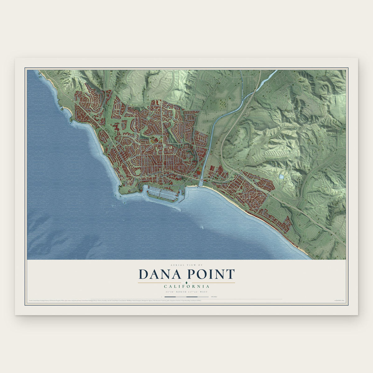
Dana Point, California Map Art
Building by building, with labeled streets and shaded relief.
12" x 18" Archival Matte Print
A Map of Home. A Work of Art.
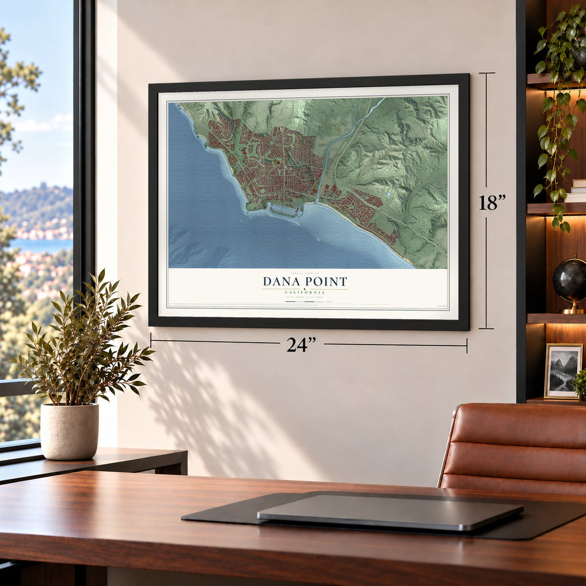
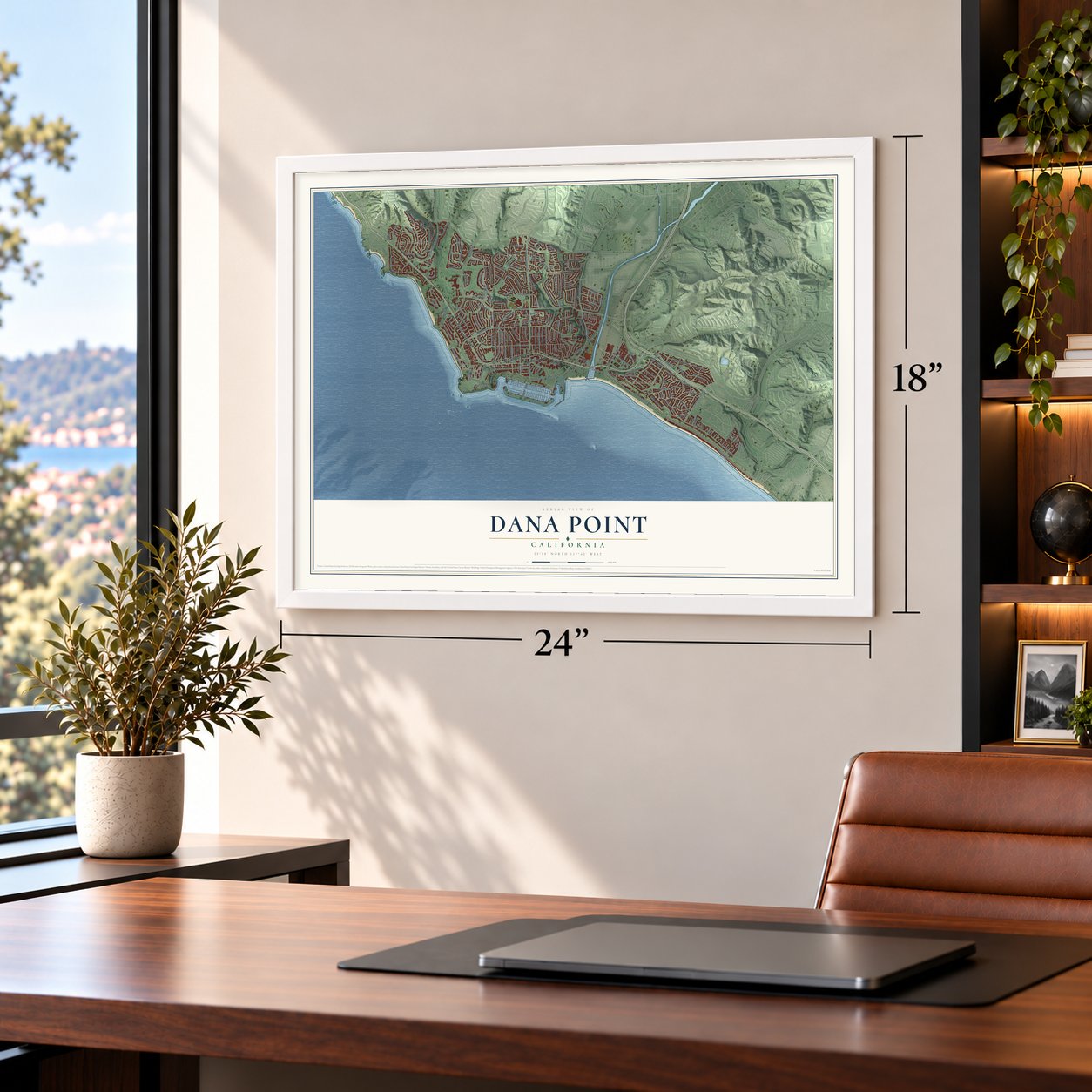
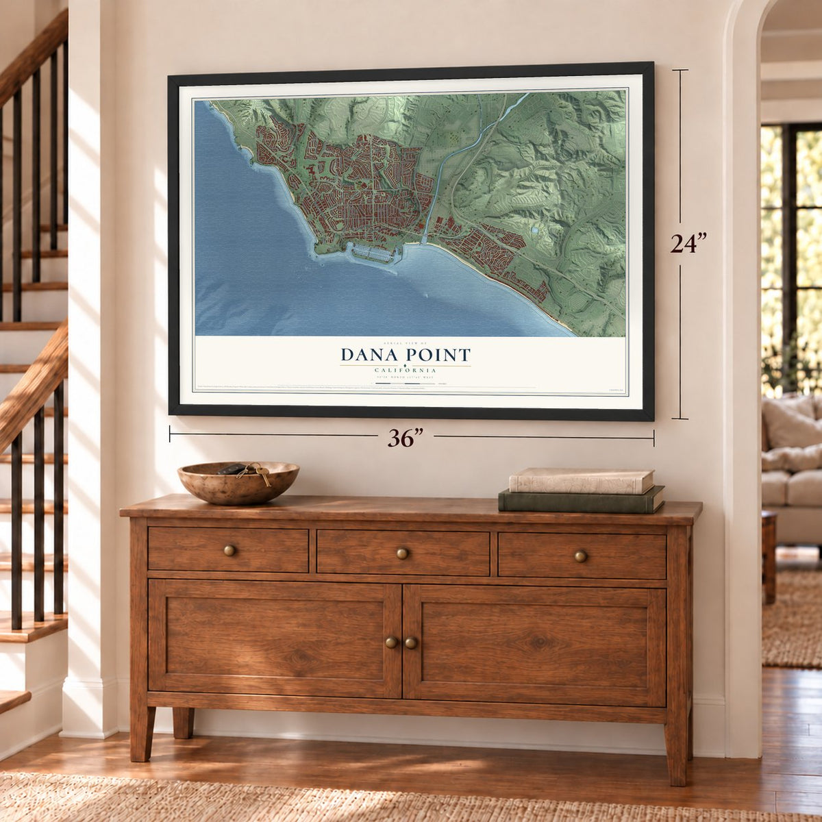
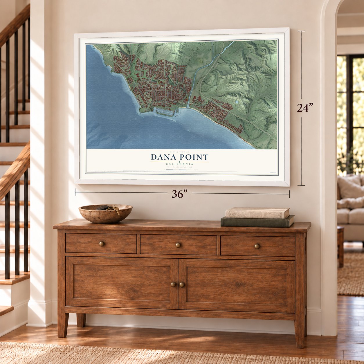
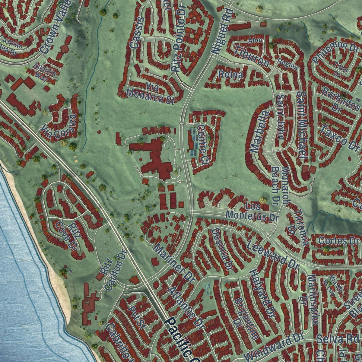
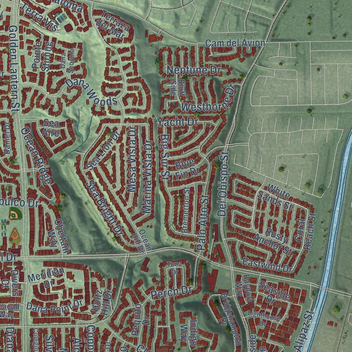
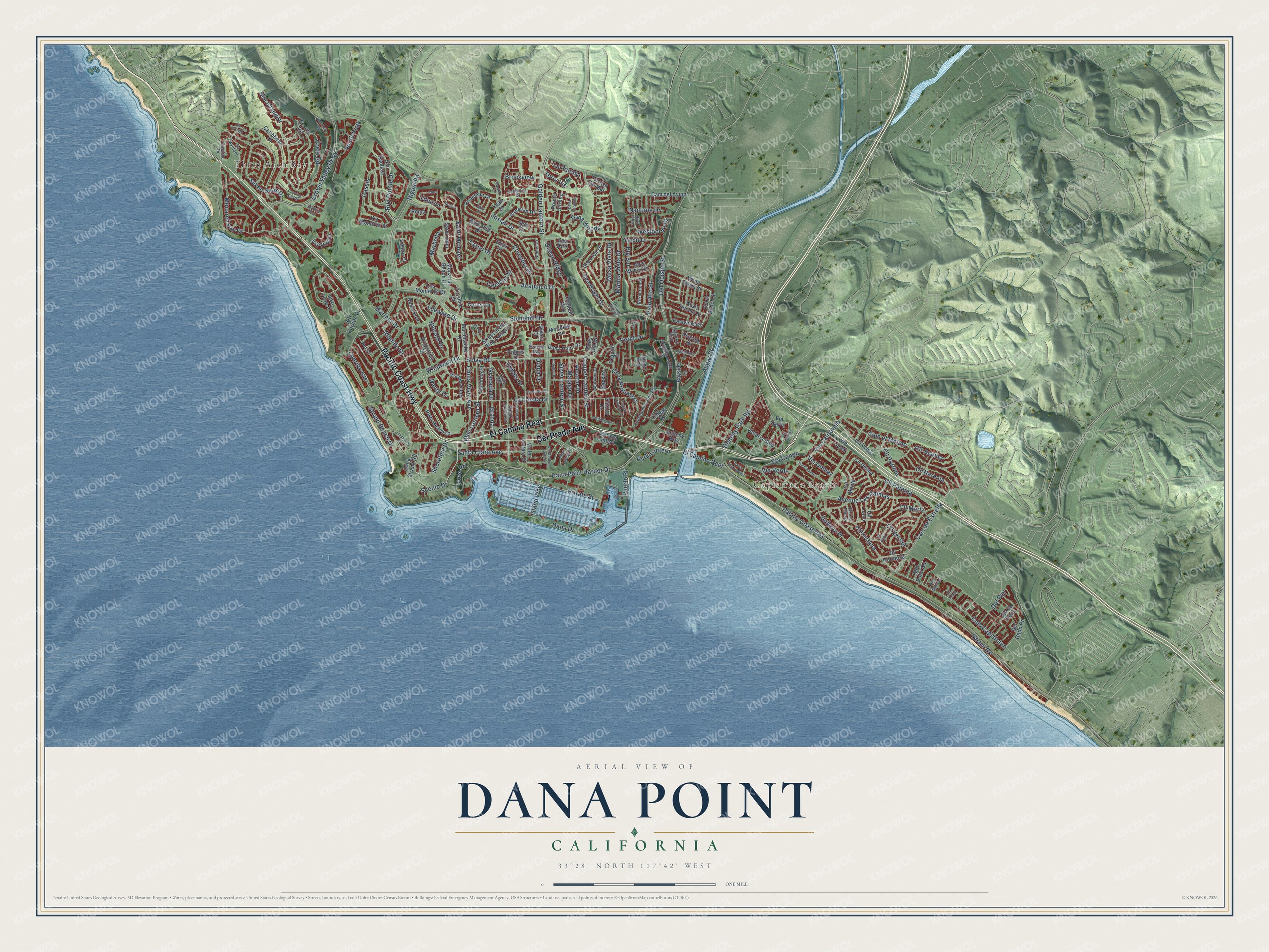
Explore Dana Point, California from a whole new perspective. Created using aerial imagery and detailed geographic data, this map captures Dana Point building by building, with labeled streets, familiar landmarks, and shaded topographical relief that highlights the natural contours of the landscape.
Combining modern data with the timeless character of a vintage atlas, this map is just as interesting up close as it is beautiful on the wall. Whether you grew up in Dana Point, spent memorable years there, or call it home today, this unique map is a great way to celebrate a place that means something to you. Zoom in on the preview to look for your street, and then order a print to put your memories on the wall.
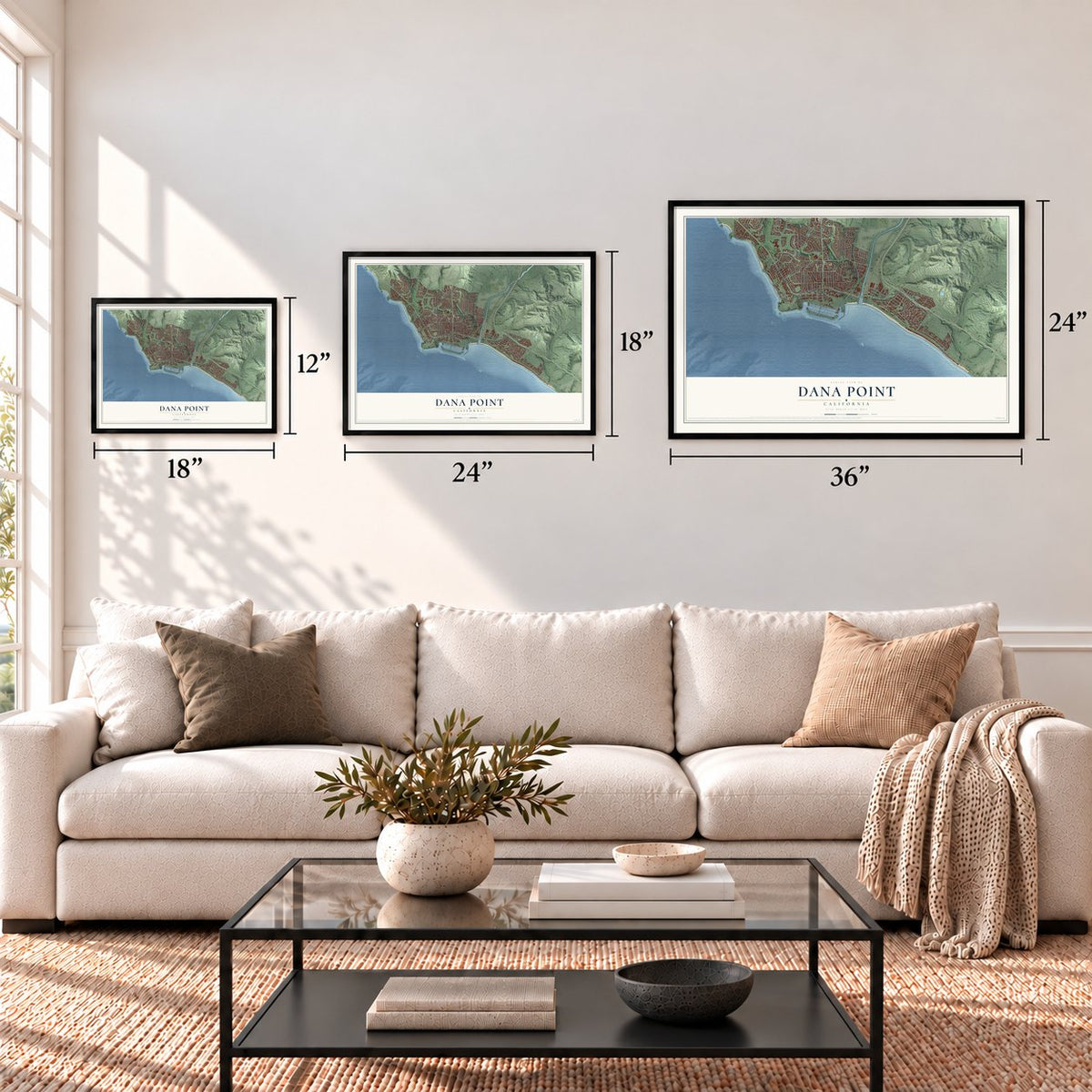
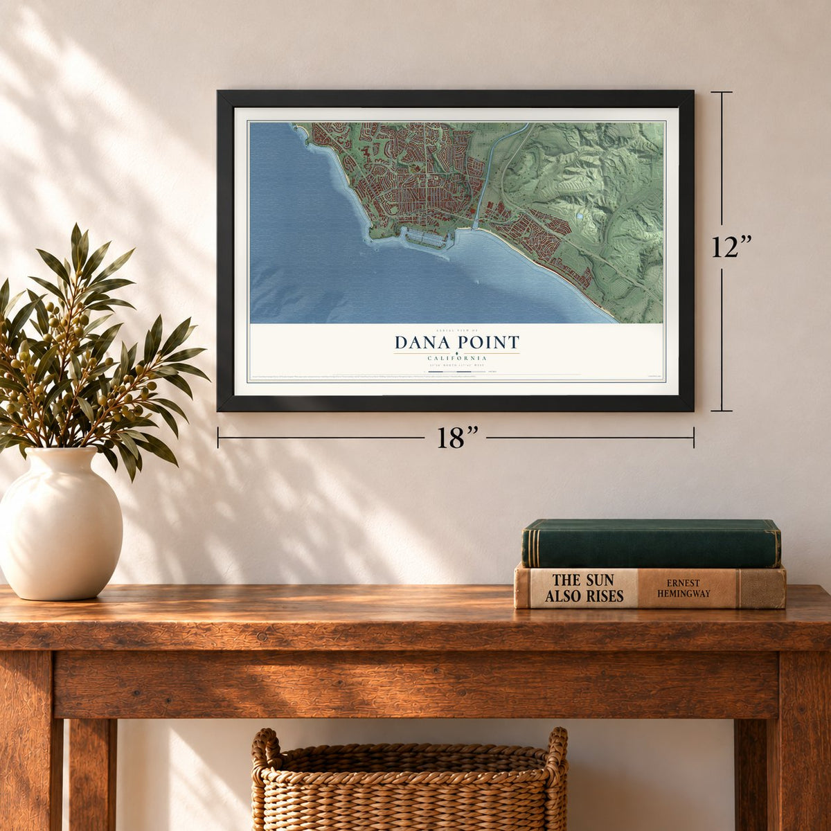
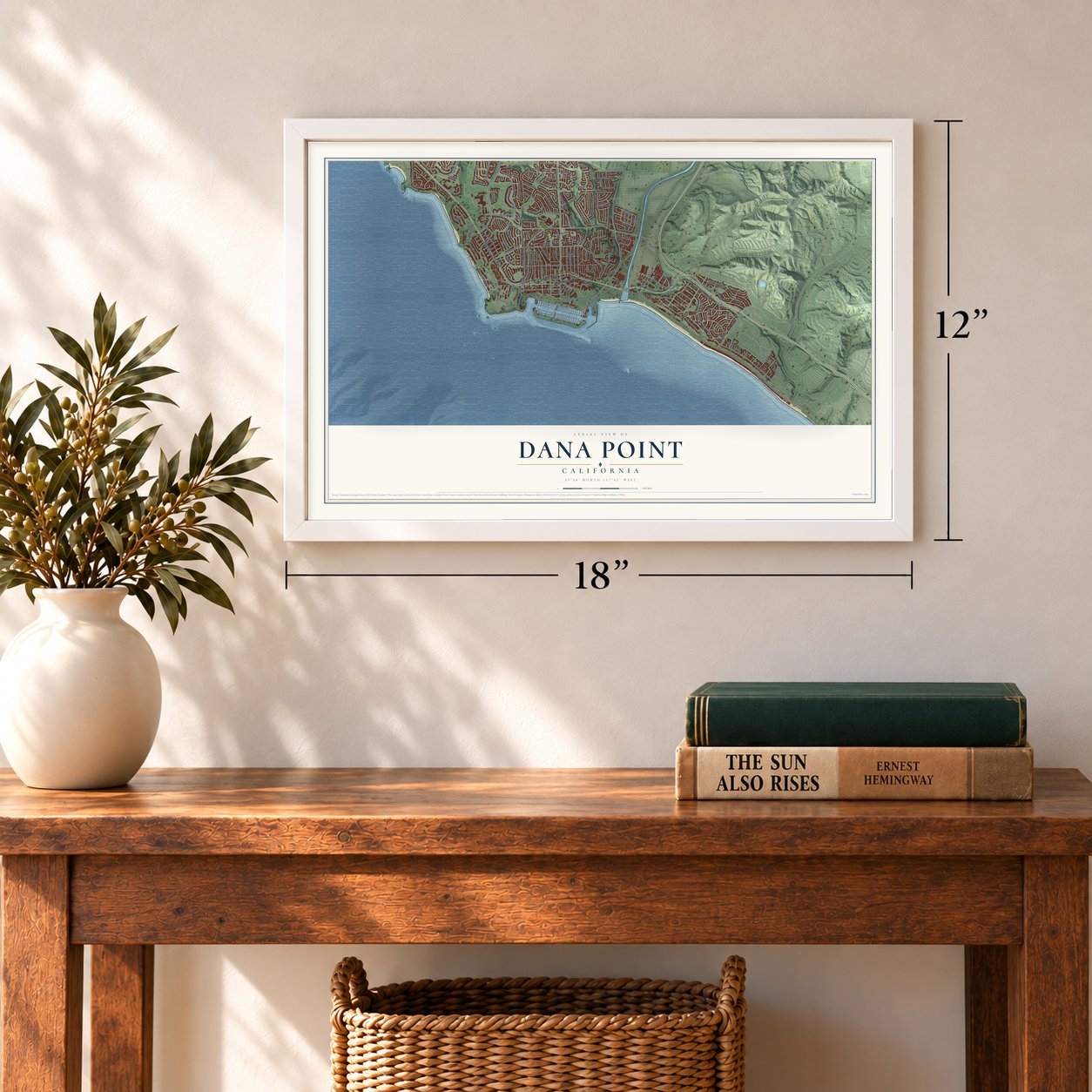
Three ways to hang it
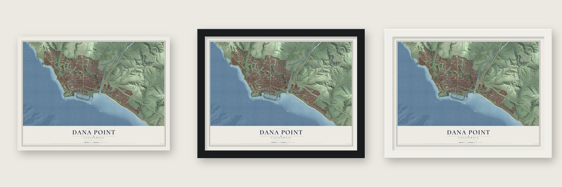
Unframed archival matte, a black wood frame or a white wood frame.
Up close
Geography Worth Displaying
This map was created using accurate cartographic data and authoritative geographic sources, including the U.S. Geological Survey and the Census Bureau. The map brings together terrain, waterways, roads, and building detail. The majority of the streets are labeled, houses are accurately depicted, and the topography is derived from government sources. Combining local data with carefully composed color and shading leads to this beautifully detailed Dana Point artwork for your wall.
Rather than simply showing street outlines, we’ve included as many of the street names as we could reasonably fit on the map while keeping their names legible. Zoom in on the high resolution preview to see exactly what’s on the map. We truly set out to create a statement piece for anyone who loves Dana Point. So whether it’s for you, or a gift for someone you love, we hope this map of Dana Point brings back fond memories.
Read the story behind this map of Dana Point, California from 2026.
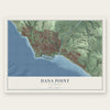
Find your street
Names on the Dana Point map
Every name below is printed on this map. Look for your street, your school, the park where you played, or the pond down the road.
Places and landmarks2
- Capistrano Beach
- Three Arch Bay
Streets and roads195
- Pacific Coast Highway
- El Camino Real
- Del Prado Avenue
- Selva Road
- Monarch Bay Drive
- Windward Drive
- Cll Paloma
- Cll Juanita
- Cll Fortuna
- Golden Lantern Street
- Stonehill Drive
- Del Obispo Street
- Cam Capistrano
- Niguel Road
- Dana Point Harbor Drive
- Beach Road
- Crown Valley Parkway
- La Cresta Drive
- Blue Lantern Street
- Dana Drive
- Doheny Park Road
- Private Street
- Cam el Molino
- Sea Island Drive
- Cam de Estrella
- Avenue Las Palmas
- Park Lantern
- Cll Portola
- Palo Alto Street
- Big Sur Street
Show all 195 streets
- Via California
- Cll Naranja
- Chula Vista Avenue
- Cll la Primavera
- Cll del Sol
- Via Verde
- Santa Clara Avenue
- Seven Seas Drive
- Granada Drive
- Sea Bright Drive
- Shoreline Drive
- Leeward Drive
- Acapulco Drive
- Ritz Pointe Drive
- Dana Woods
- Via Canon
- South Peak
- Cll Maria
- Malaga Drive
- Copper Lantern Street
- Alipaz Street
- Atlantic Drive
- Cabrillo Isle
- Christina Drive
- Alcazar Drive
- Marina Vista Drive
- Crete Road
- Silver Lantern Street
- Cassis
- Marbella
- Josiah Drive
- Strand Beach Drive
- Perch Drive
- Mesa Vista Drive
- Del Rey
- Ocean Ridge
- Doheny Place
- Zarzito
- Westborne Drive
- Mariner Drive
- Halyard Drive
- Island Way
- Saint Michael
- Puerto Place
- Cove Road
- Caracas Street
- Brookview
- Robles Drive
- Yacht Drive
- Diana Drive
- Neptune Drive
- Terra Vis
- La Paloma
- Via Gomez
- Scenic Drive
- Granda
- Taxco Drive
- Manta Court
- Tiburon
- Ritz Cove Drive
- Coral Reach Street
- White Sands Street
- Cll Hermosa
- Street of the Blue Lantern
- Monarch Beach Drive
- Violet Lantern Street
- Azores Road
- Caribbean Drive
- Ritz Carlton Drive
- Victoria Boulevard
- Pequito Drive
- Mill Pond Road
- Dana Strand Road
- Brigantine Drive
- Elisa Drive
- Dana Point Drive
- Zarzito Drive
- Cll Loma
- Los Monteros Drive
- Jeremiah Drive
- Sea Lion Drive
- San Raphael
- Blue Fin Drive
- Palm Beach Court
- Philemon Drive
- Terraza del Mar
- Del Gado Road
- Cam del Avion
- Via del Cielo
- Meridian Drive
- Marlinspike Drive
- Bayside Lane
- Doheny Way
- Tirremia Drive
- Via Corsica
- Holtz Hill Drive
- Village Road
- Cheltam Way
- Cll Monte
- Valencia Place
- Rusty Anchor Street
- Eastwind Drive
- Via Monarca Street
- Seaside Drive
- Saint John
- Barbados Drive
- Dosinia Drive
- Terrace Lantern
- Leah Drive
- Via Lopez
- Pointe Stirling
- Cll Ultima
- Centre Court
- Cortes Drive
- Seth Circle
- Cll Velez
- Indigo Way
- Vis de Dons
- Polaris Drive
- Reina
- Sea Aire
- Via Serra
- Divers Court
- Pvt Street
- Capistrano by the Sea
- Amber Lantern Street
- Ocean Hill Drive
- Via Mentone
- Bremerton Street
- Mariana Drive
- Bridgehampton Drive
- Pso Pinzon
- Orilla Road
- Daniel Drive
- Seabrook Drive
- Bluff Side
- Eastline Drive
- Cll Las Flores
- Port Lantern
- Bayport Way
- Seacall Way
- Regina
- Cll Real
- Caspian Sea Drive
- Crystal Lantern Street
- Colegio Drive
- Via Espinoza
- Oceanfront Lane
- Old Golden Lantern
- Rachel Circle
- Via de la Lux
- Elcanto
- Lighthouse Drive
- Via Elevado
- Cordova Drive
- Dana Sequoia
- Titus Drive
- Dana Bluff West
- Highcrest Road
- Atlantis Way
- Via Orvieto
- Via Corona
- Atun
- Cll Anejo
- Tuna Drive
Names are listed as they appear on the printed map. Zoom into the product photos to find them.
About Dana Point, California
Dana Point is a city of 33,107 people on the southern Orange County coast. In the 1830s and 1840s, ships trading for hides with Mission San Juan Capistrano anchored here, and in 1835 Richard Henry Dana Jr. arrived aboard the brig Pilgrim. His 1840 memoir, Two Years Before the Mast, described the area, and the headland named for him later gave the city its name.
In 1926 Sidney H. Woodruff formed the Dana Point Syndicate with General M. H. Sherman and Harry Chandler, who published the Los Angeles Times. The syndicate bought 1,388 acres. Woodruff put up about three dozen houses and some commercial buildings, and he named the streets for the colored lanterns that trading ships once hung to show their goods. His planned Dana Point Inn broke ground in 1930, and crews poured a three-story foundation and dug a 135-foot elevator shaft down to the beach. The Great Depression stopped the work, and the hotel was abandoned in 1939. Thirty-four of the original thirty-five Woodruff houses are still lived in.
“the only romantic spot on the coast”
- Toovannga by San Juan CreekThe Acjachemen village of Toovannga stood near today's harbor, close to where San Juan Creek meets the sea. Beginning in 1776, the Spanish brought people from Ubange, a nearby village, to Mission San Juan Capistrano to be converted and put to work on its grounds.
- Doheny State Beach, 1931In 1928 a company tied to oilman Edward Doheny bought Capistrano Beach lots, and his son Ned formed the Capistrano Beach Company to build Spanish style houses. Contractor Luther Eldridge had finished the family's bluff house, four beach houses and 18 more when Ned and secretary Hugh Plunkett were killed on February 16, 1929, in a murder never solved. In 1931 the family company gave the state 41.4 acres in Ned's memory, which became Doheny State Beach.
- A surf shop in 1954In 1954 Hobie Alter opened a surf shop here, the first retail one anywhere. Surfers also rode Killer Dana, a wave that rose out of deep water near the rocky shore, until a breakwater built for the new harbor in 1966 wiped it out. The harbor was dedicated on July 31, 1971.
- Festival of Whales since 1972Dana Point has held its Festival of Whales every March since 1972, spread over two weekends. Each September the Tall Ships Festival follows, billed as the West Coast's biggest yearly gathering of tall ships.
Keep exploring California
Dana Point is one of 1,990 California towns we've mapped. Every dot on the map is a print of its own.
The search covers every state, California first.
Near Dana Point
Order 2 or more town maps and save 10%. Shown in the size and finish you picked above, so they hang as a set.
- San Juan Capistrano 12" x 18" / Archival Matte Print $39.99
- Laguna Niguel 12" x 18" / Archival Matte Print $39.99
- San Clemente 12" x 18" / Archival Matte Print $39.99
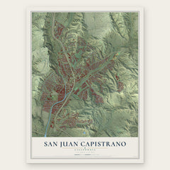
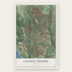
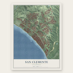
More maps nearby: Ladera Ranch, Laguna Beach, Aliso Viejo, Laguna Hills and Rancho Mission Viejo.
The art of mapping a place
How This Map Was Made
Real places. Remarkable detail. Discover the layers that turn geographic data into a map of home.

The view from above
Aerial imagery reveals the character of the land: woodland, open fields, and the patterns of a place.

The shape of the land
Elevation data brings hills, valleys, and subtle changes in the landscape into view.

The details of home
Roads, waterways, and building footprints come together to make the map feel unmistakably local.

Geography becomes art
Considered color, shading, and typography bring the layers together in a map made for your wall.


Process illustrated with Mendon, Massachusetts. Aerial imagery: USDA NAIP. Terrain: USGS 3D Elevation Program. Map details and finished artwork: KNOWOL.
The Details
About This Print
Choose an archival matte print, or a black or white Ayous wood frame. The archival matte print is unframed.
Select your size and finish above to see the matching product image and price.
Materials & Craftsmanship
A contemporary map with the character of a classic atlas, printed on archival matte paper. Optional frames are made from Ayous wood.
Your printed map does not include the watermark shown in the full-map preview.
Shipping & Delivery
Free shipping within the United States. Every print is made to order in the USA.
Buying a gift? Add a note in your cart and we'll include it. We never put prices in the package.
Prints ship within 2 to 3 business days. Allow 7 to 10 days total from ordering for delivery. Timing may vary during holidays or periods of high order volume.
Read our shipping policy.
Returns and damaged prints
Each print is made to order. Change-of-mind refunds are not available after production.
If your print arrives damaged, misprinted or incorrect, contact support@knowol.com within 30 days of receiving it. Include your order number, photos and a description of the issue.
Read our full refund and replacement policy. For questions about your order, email support@knowol.com.