
Search for another town

Free U.S. delivery 7 to 10 days after you order
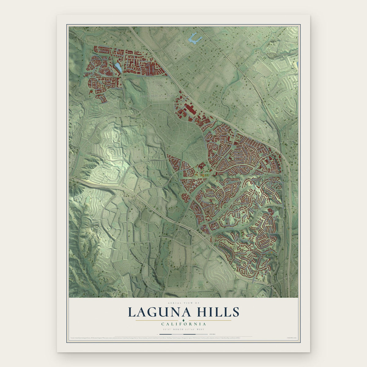
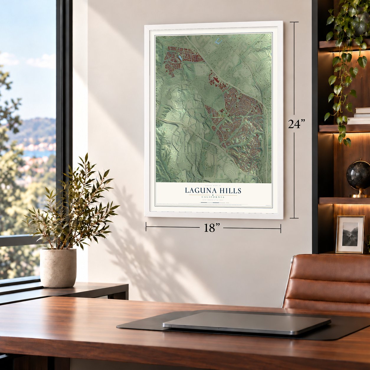
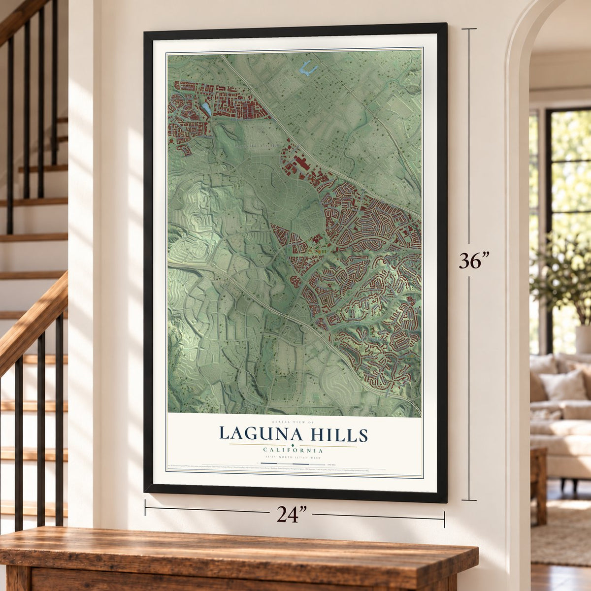
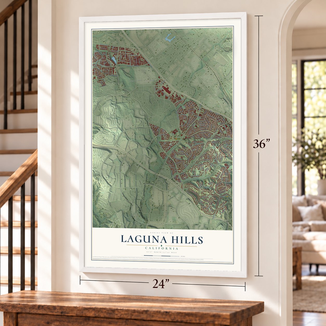
Laguna Hills, California Map Art
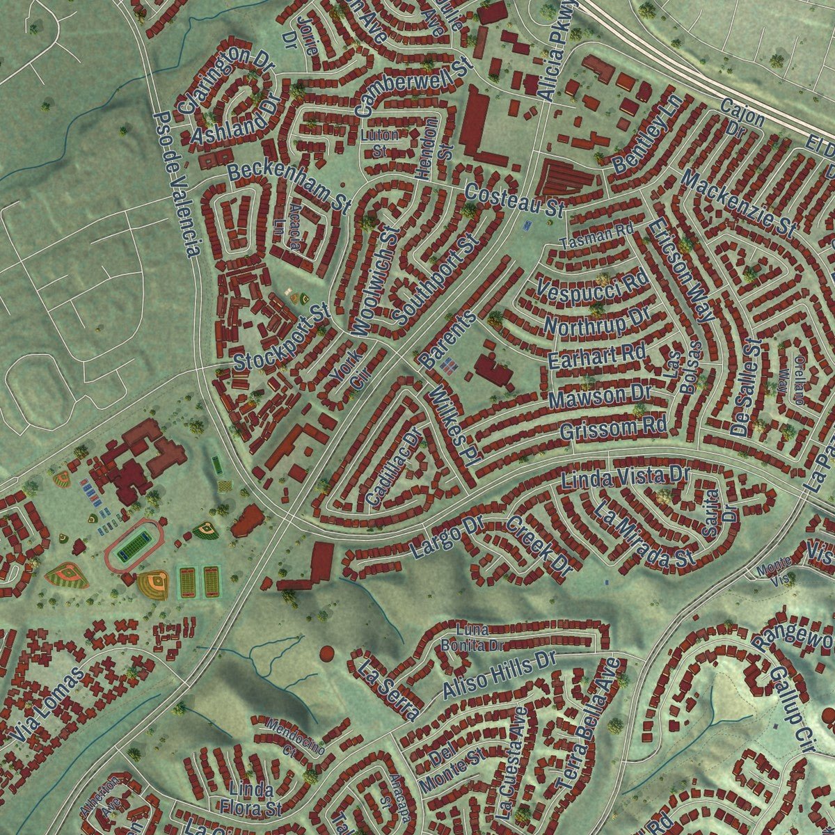
Building by building, with labeled streets and shaded relief.
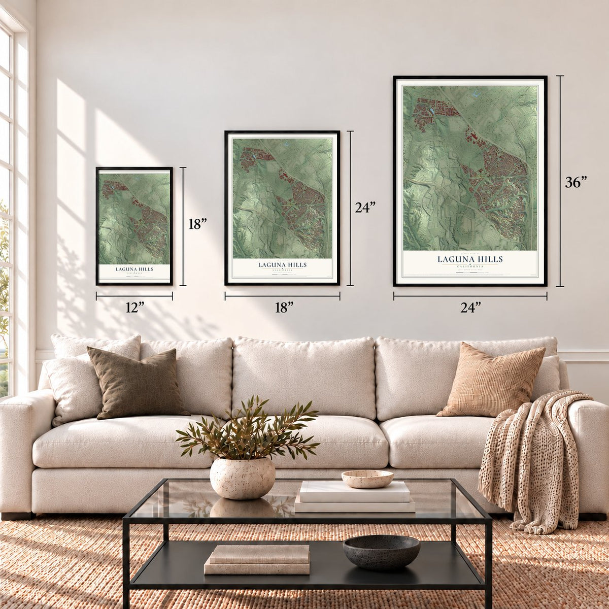
12" x 18" Archival Matte Print
A Map of Home. A Work of Art.
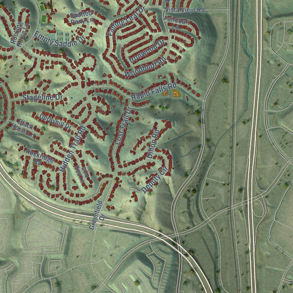
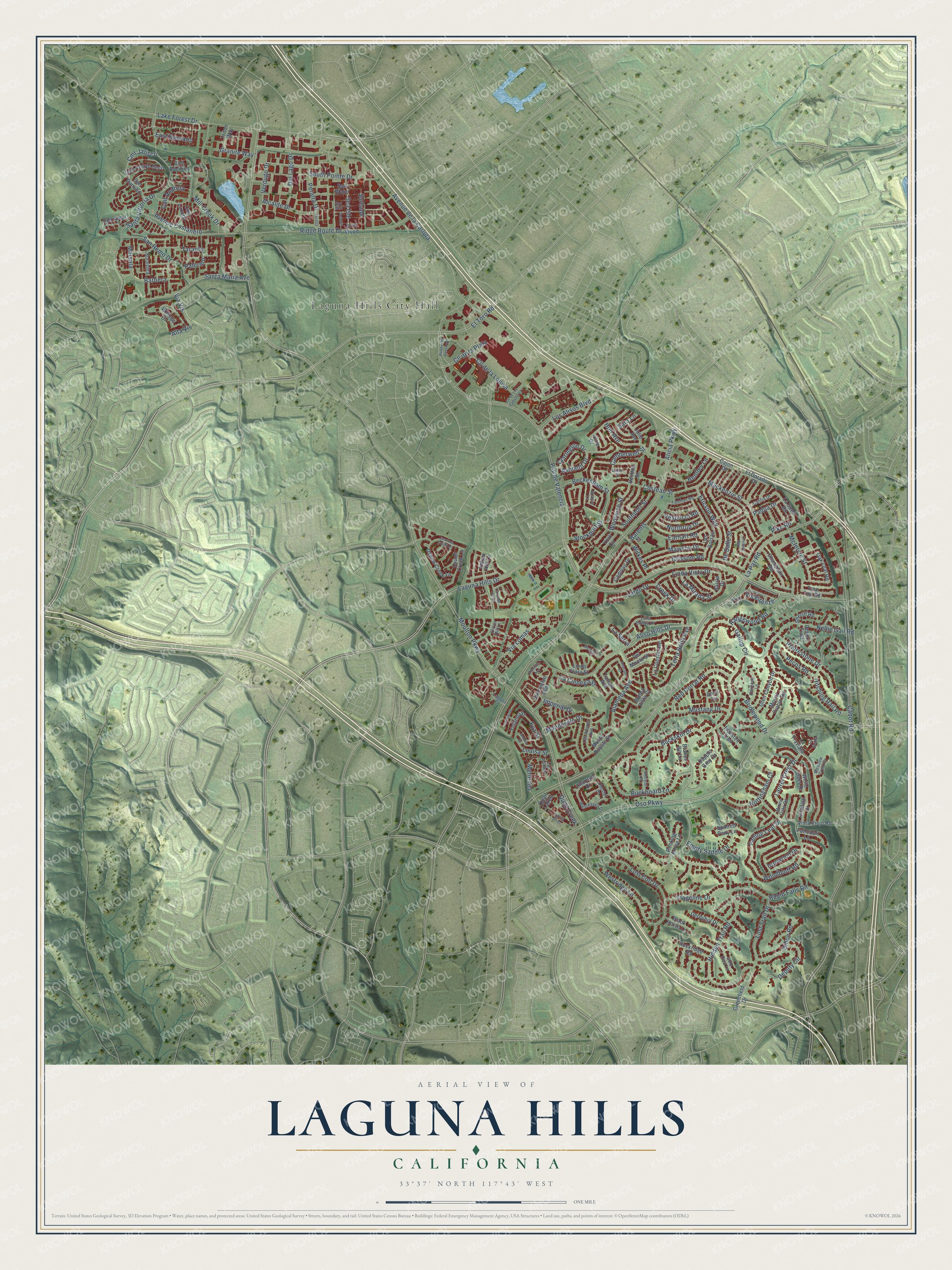
Explore Laguna Hills, California from a whole new perspective. Created using aerial imagery and detailed geographic data, this map captures Laguna Hills building by building, with labeled streets, familiar landmarks, and shaded topographical relief that highlights the natural contours of the landscape.
Combining modern data with the timeless character of a vintage atlas, this map is just as interesting up close as it is beautiful on the wall. Whether you grew up in Laguna Hills, spent memorable years there, or call it home today, this unique map is a great way to celebrate a place that means something to you. Zoom in on the preview to look for your street, and then order a print to put your memories on the wall.
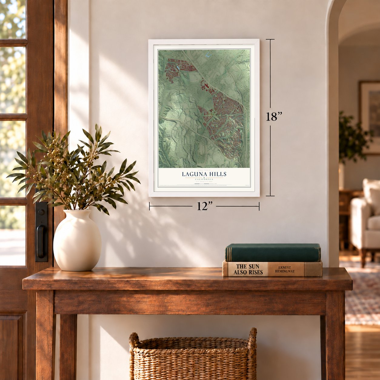
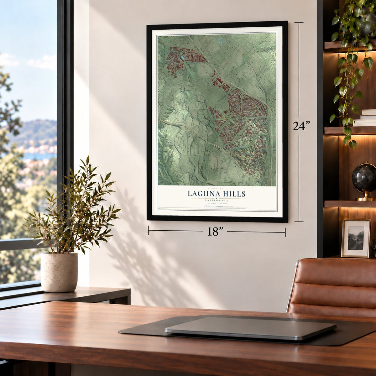
Three ways to hang it
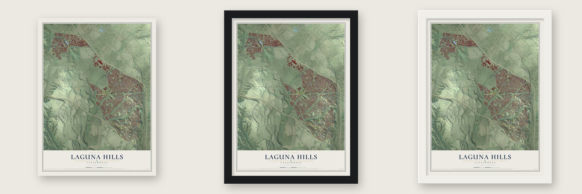
Unframed archival matte, a black wood frame or a white wood frame.
Up close
Geography Worth Displaying
This map was created using accurate cartographic data and authoritative geographic sources, including the U.S. Geological Survey and the Census Bureau. The map brings together terrain, waterways, roads, and building detail. The majority of the streets are labeled, houses are accurately depicted, and the topography is derived from government sources. Combining local data with carefully composed color and shading leads to this beautifully detailed Laguna Hills artwork for your wall.
Rather than simply showing street outlines, we’ve included as many of the street names as we could reasonably fit on the map while keeping their names legible. Zoom in on the high resolution preview to see exactly what’s on the map. We truly set out to create a statement piece for anyone who loves Laguna Hills. So whether it’s for you, or a gift for someone you love, we hope this map of Laguna Hills brings back fond memories.
Read the story behind this map of Laguna Hills, California from 2026.
Find your street
Names on the Laguna Hills map
Every name below is printed on this map. Look for your street, your school, the park where you played, or the pond down the road.
Places and landmarks1
- Laguna Hills City Hall
Streets and roads189
- Alta Vis
- Via Vis
- Grissom Road
- Buckskin Drive
- Pike Road
- Pso de Valencia
- Moulton Parkway
- La Paz Road
- Alicia Parkway
- Oso Parkway
- Cabot Road
- Nellie Gail Road
- Avenue de la Carlota
- Ridge Route Drive
- Santa Vittoria Drive
- Hidden Trail Road
- Lake Forest Drive
- Laguna Hills Drive
- Aliso Hills Drive
- Bridlewood Drive
- Los Alisos Boulevard
- Mackenzie Street
- Santa Maria Avenue
- Mill Creek Drive
- El Toro Road
- Costeau Street
- Mustang Drive
- Rapid Falls Road
- Cll de la Plata
- Lost Colt Drive
Show all 189 streets
- Earhart Road
- Hitching Rail Road
- Alameda Avenue
- Gallup Circle
- Wilkes Place
- Via Lomas
- Barents
- Westridge Lane
- San Remo Drive
- East Bassano
- Ericson Way
- Buckboard Lane
- De Salle Street
- Red Corral Road
- Hon Avenue
- Woodbluff Road
- Nottingham Court
- Cmt Jalisco
- Del Lago Drive
- Lost Trail Drive
- Camberwell Street
- Terra Bella Avenue
- Linda Vista Drive
- Mawson Drive
- Empty Saddle Drive
- Cll de la Louisa
- Deputy Circle
- Stageline Drive
- McIntyre Street
- Falling Leaf Drive
- Avenue Costanero
- Mandeville Drive
- Laurel Crest Drive
- Alcalde Drive
- Beckenham Street
- Bentley Lane
- Prairestone Drive
- Southport Street
- Barbera
- Woolwich Street
- Dillon Road
- Cmt Andreta
- Taranto
- La Mirada Street
- Northrup Drive
- Largo Drive
- Quail Creek
- South Pointe Drive
- Vespucci Road
- Peralta Drive
- Vis Firenze
- Stockport Street
- Louisa Street
- Rangewood Road
- Clarington Drive
- Sea Isle
- Pecos Road
- La Cienega Street
- Surfside
- Ashland Drive
- Verdugo Drive
- Merienda
- Granite Way
- Ironwood Drive
- Marsala
- Imperial Drive
- Padua Drive
- Palermo
- Eva Street
- Creek Drive
- La Serra
- Sara Lane
- Greenfield Drive
- Cmt Amor
- Indian Hill Lane
- Champlain Road
- Dapple Grey Drive
- Willows Drive
- Glen Canyon Drive
- Las Bolsas
- Hendon Street
- Oxbow Creek Lane
- Vista Viejo Road
- Cmt Danubo
- Faircourt Lane
- La Cuesta Avenue
- Cmt Arroyo Seco
- Mount Diablo Road
- Laurel Creek Lane
- Monte Royale Street
- Derbyhill Drive
- Quail Lakes
- Buena Vista Court
- Cadillac Drive
- Del Monte Street
- Talega Avenue
- Sunnyglen Avenue
- Rockridge Road
- Rocking Horse Lane
- White Oaks Drive
- Charlton Drive
- Spotted Pony Lane
- La Suen Road
- Yolanda Street
- Linda Flora Street
- Oak Leaf Road
- Cmt Lazaro
- Anadale Drive
- Cmt Pacifico
- Houston Trail
- Black Horse Lane
- Tree Top Road
- Julie Avenue
- Sheriff Road
- Soresina
- Salt Water
- Broken Bit Lane
- La Traviata
- Triton Way
- El Dorado Drive
- Sarita Drive
- Anvil Circle
- Drift Wood
- York Circle
- Jorie Drive
- Desert Trail
- Cajon Drive
- Luna Bonita Drive
- Westhaven Drive
- Las Alturas Avenue
- Flintlock Lane
- Acacia Lane
- Tasman Road
- Califia Drive
- Gold Dust Lane
- Moore Oaks Road
- Chester Drive
- Meadow Crest Drive
- Stetson Place
- Las Palmas
- Clover Hill Lane
- La Scala
- Laguna Court
- Luton Street
- Carriage Hill Lane
- Ronda del Rossmoor
- Mendocino Court
- Jasmine Creek Lane
- Monte Vis
- Bay Mist
- Carmel Street
- Anacapa Street
- Cll de Los Caballeros
- Orellano Way
- Spring Pines
- Peralta
- Andrea Street
- Seacliff
- Atherton Avenue
Names are listed as they appear on the printed map. Zoom into the product photos to find them.
About Laguna Hills, California
Laguna Hills is a city of 31,374 people in southern Orange County. After Mexico won its independence from Spain in 1821, the government handed out huge tracts for grazing cattle, often to men who had served it or had friends in power. Don Juan Avila received Rancho Niguel, a grant of 13,000 acres that took in the land where Laguna Hills now stands.
Lewis Moulton bought the rancho from Avila in 1894 and enlarged it to 22,000 acres, where he and his partner, Jean Piedra Daguerre, raised sheep and cattle. The Moulton Ranch was broken up in the early 1960s, and part of it grew into today's Laguna Hills. Residents started a push for cityhood in 1987. When they voted on March 5, 1991, 86% approved, and the city became official on December 20, 1991.
- Named for a lagoonLaguna is Spanish for lagoon. The city's name points to nearby Laguna Canyon and to Laguna Beach, a far older town, and the newer neighbors Laguna Niguel and Laguna Woods took similar names.
- A city that kept growingLaguna Hills added land after it incorporated. North Laguna Hills joined in 1996, and the Westside Annexation of 2000 brought in 149 acres of homes, including Sheep Hills Park, which belongs to the Aliso Viejo Community Association.
- City Hall since 2004In 2004 the city bought an existing office building on El Toro Road, near the Laguna Hills Mall, renovated it and moved City Hall inside. It rents the rest of the space to businesses, so the building brings the city more money than it costs.
- A Cy Young and a HeismanShane Bieber, the pitcher who won the American League Cy Young Award in 2020, and Carson Palmer, the USC quarterback who won the Heisman Trophy, are among the notable people tied to Laguna Hills.
Keep exploring California
Laguna Hills is one of 1,990 California towns we've mapped. Every dot on the map is a print of its own.
The search covers every state, California first.
Near Laguna Hills
Order 2 or more town maps and save 10%. Shown in the size and finish you picked above, so they hang as a set.
- Aliso Viejo 12" x 18" / Archival Matte Print $39.99
- Laguna Woods 12" x 18" / Archival Matte Print $39.99
- Mission Viejo 12" x 18" / Archival Matte Print $39.99
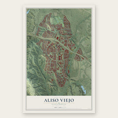
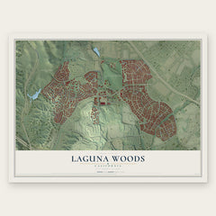

More maps nearby: Las Flores, Laguna Niguel, Ladera Ranch, Lake Forest and Laguna Beach.
The art of mapping a place
How This Map Was Made
Real places. Remarkable detail. Discover the layers that turn geographic data into a map of home.

The view from above
Aerial imagery reveals the character of the land: woodland, open fields, and the patterns of a place.

The shape of the land
Elevation data brings hills, valleys, and subtle changes in the landscape into view.

The details of home
Roads, waterways, and building footprints come together to make the map feel unmistakably local.

Geography becomes art
Considered color, shading, and typography bring the layers together in a map made for your wall.


Process illustrated with Mendon, Massachusetts. Aerial imagery: USDA NAIP. Terrain: USGS 3D Elevation Program. Map details and finished artwork: KNOWOL.
The Details
About This Print
Choose an archival matte print, or a black or white Ayous wood frame. The archival matte print is unframed.
Select your size and finish above to see the matching product image and price.
Materials & Craftsmanship
A contemporary map with the character of a classic atlas, printed on archival matte paper. Optional frames are made from Ayous wood.
Your printed map does not include the watermark shown in the full-map preview.
Shipping & Delivery
Free shipping within the United States. Every print is made to order in the USA.
Buying a gift? Add a note in your cart and we'll include it. We never put prices in the package.
Prints ship within 2 to 3 business days. Allow 7 to 10 days total from ordering for delivery. Timing may vary during holidays or periods of high order volume.
Read our shipping policy.
Returns and damaged prints
Each print is made to order. Change-of-mind refunds are not available after production.
If your print arrives damaged, misprinted or incorrect, contact support@knowol.com within 30 days of receiving it. Include your order number, photos and a description of the issue.
Read our full refund and replacement policy. For questions about your order, email support@knowol.com.