
Search for another town

Free U.S. delivery 7 to 10 days after you order
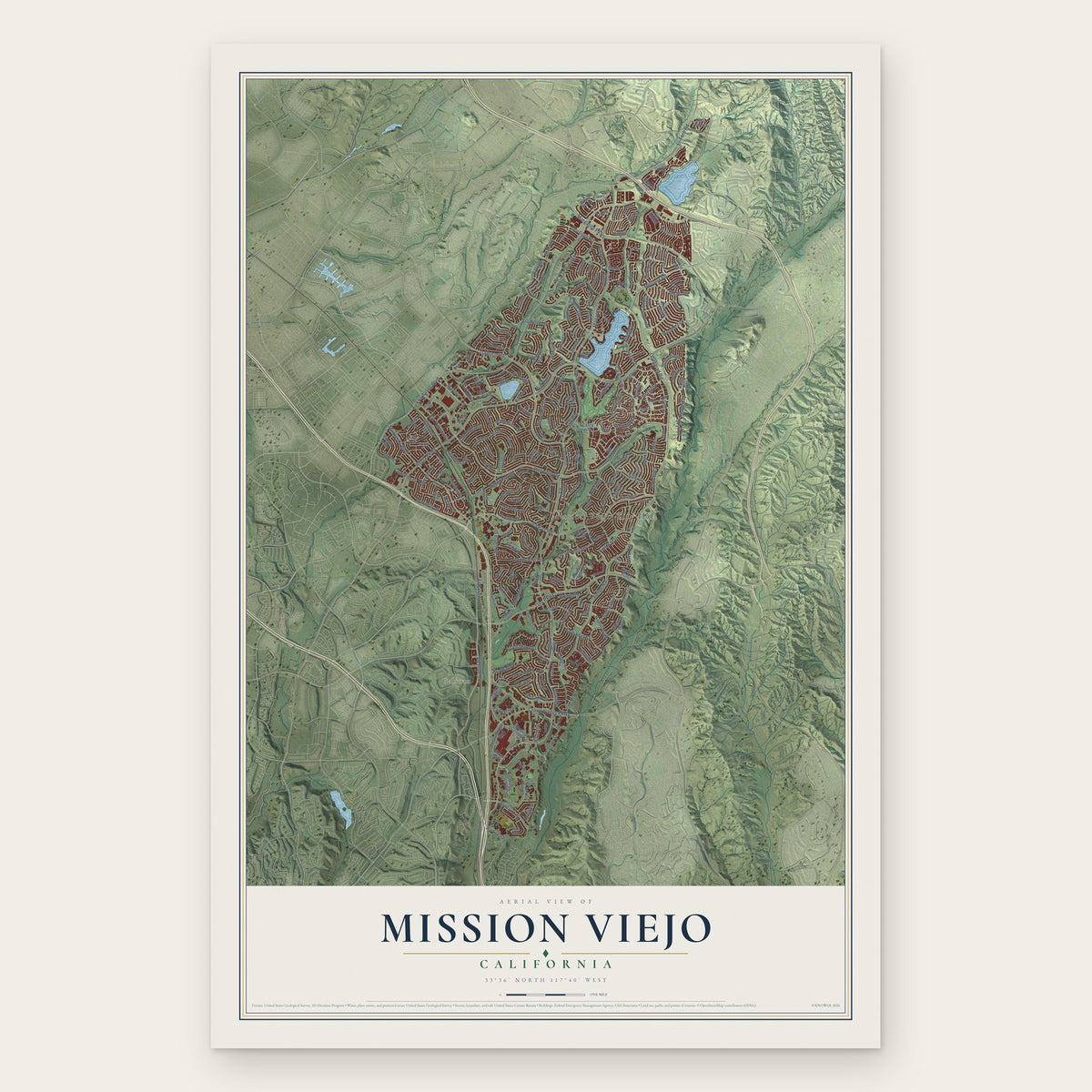
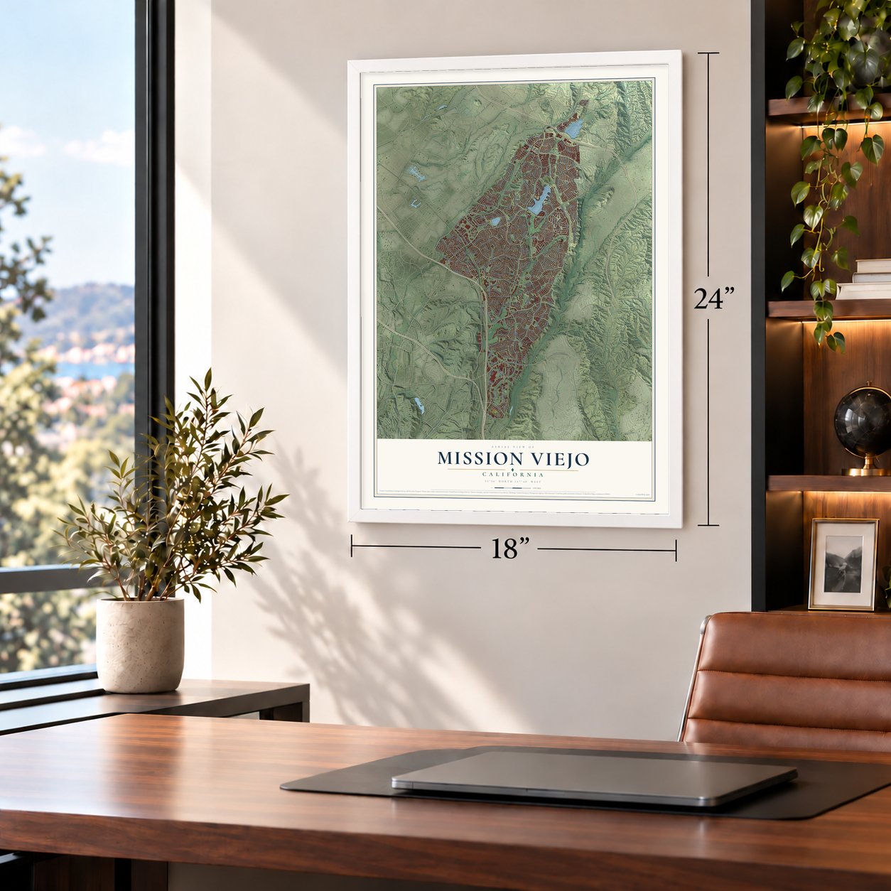
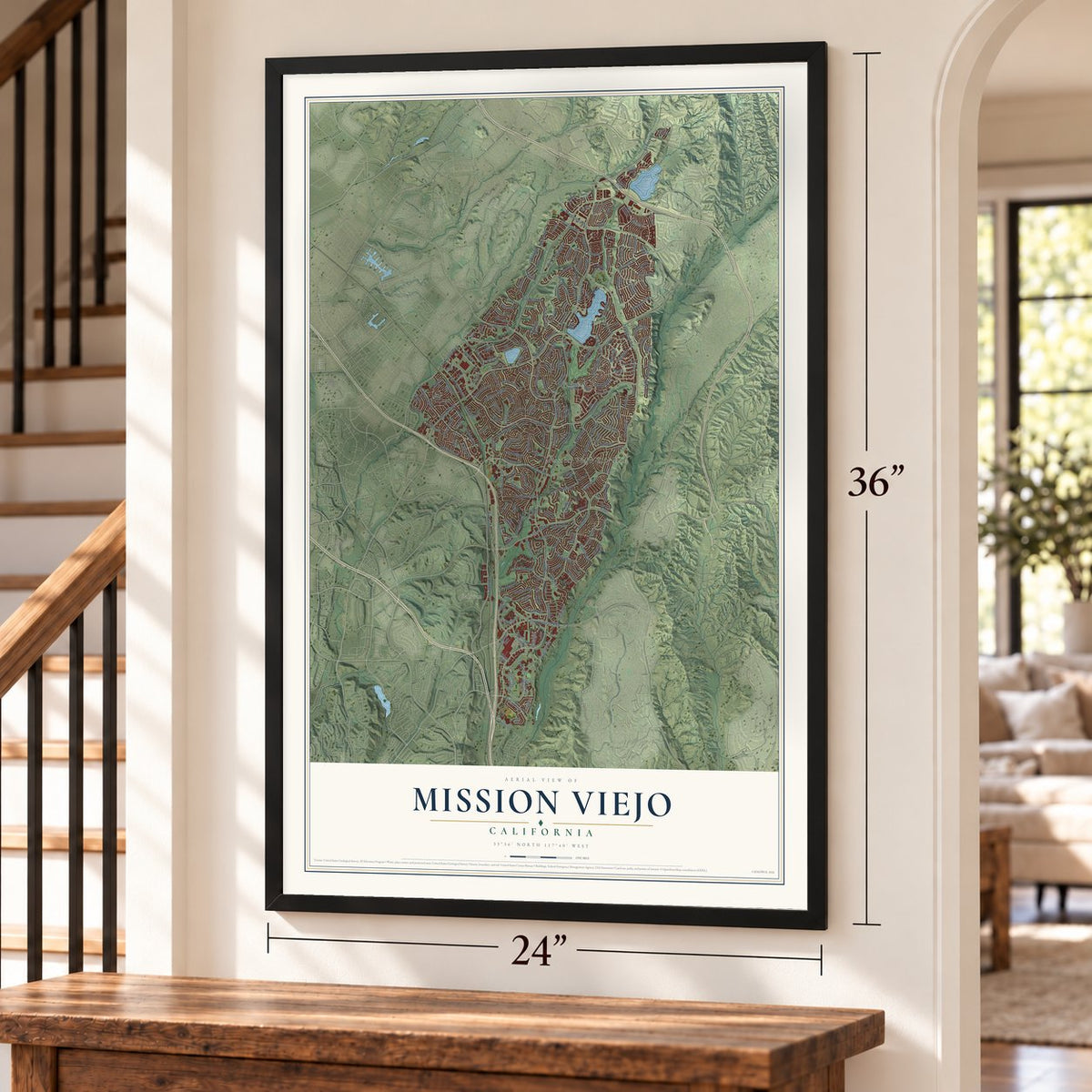
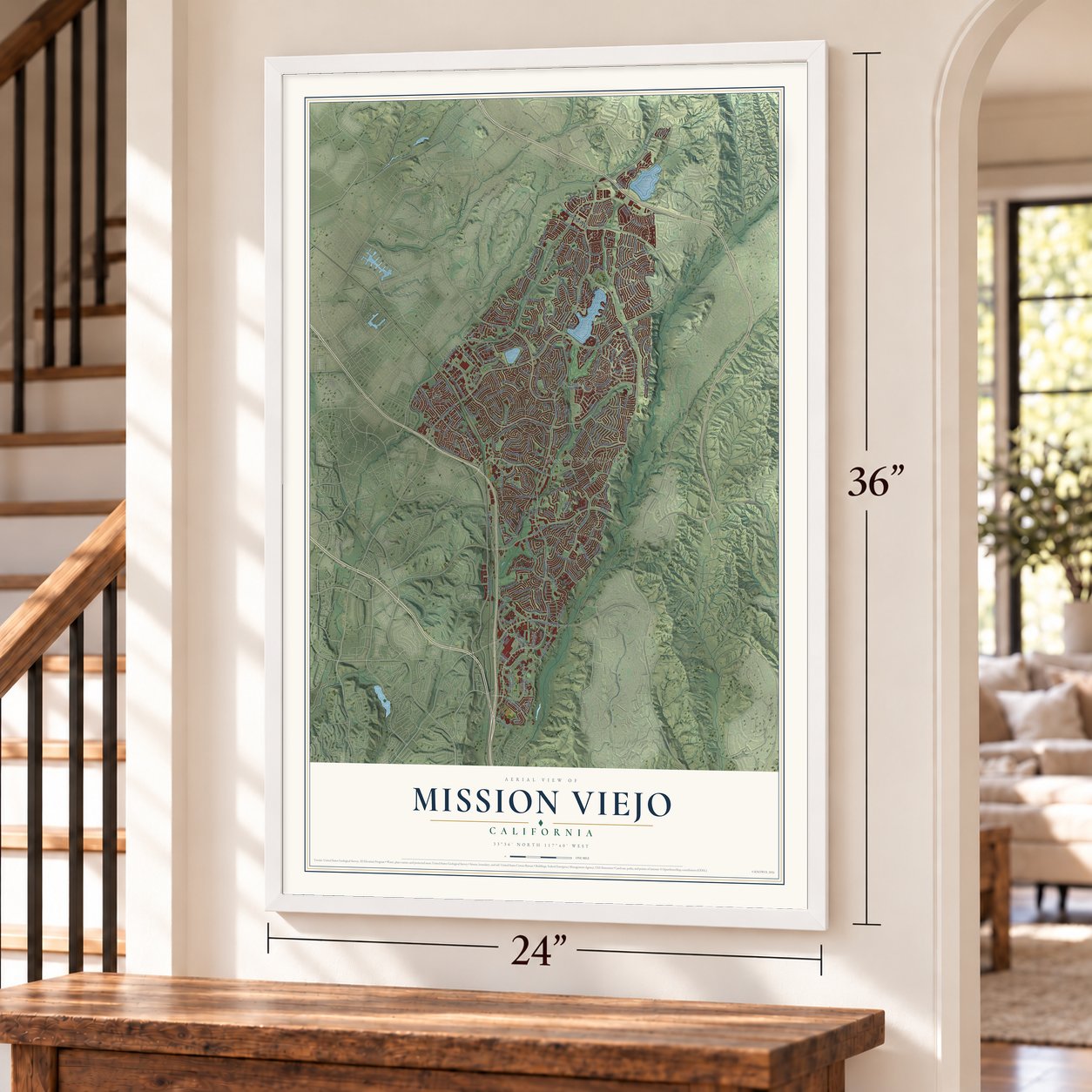
Mission Viejo, California Map Art
Building by building, with labeled streets and shaded relief.
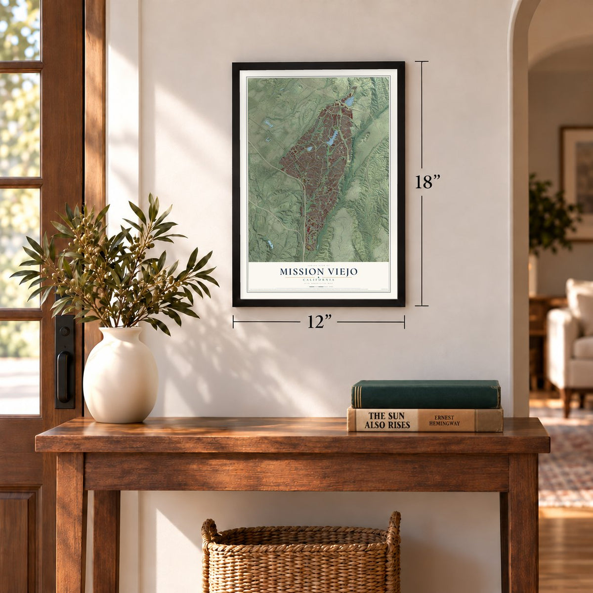
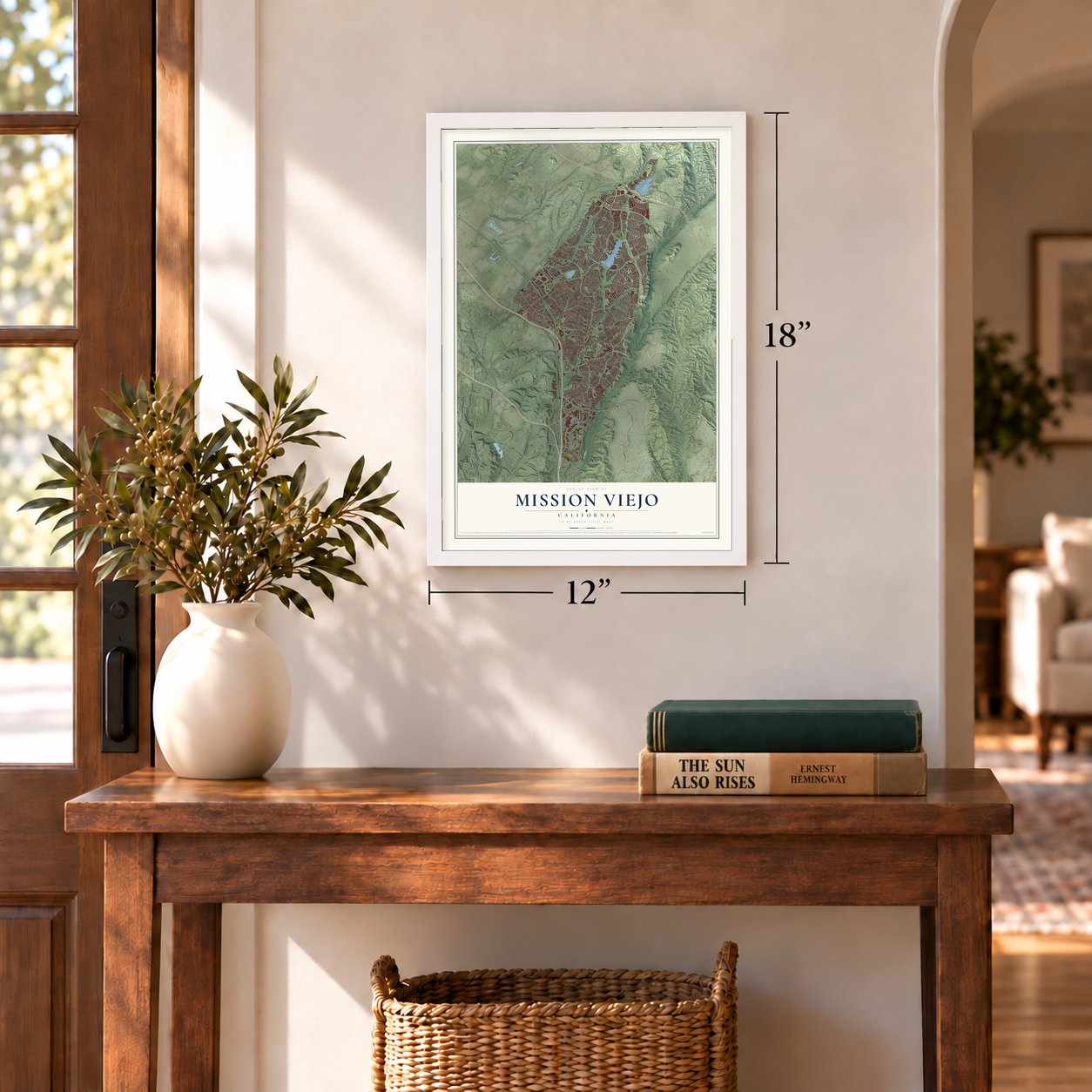
12" x 18" Archival Matte Print
A Map of Home. A Work of Art.
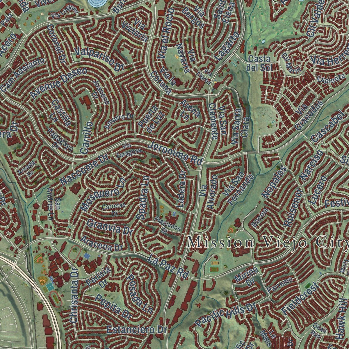
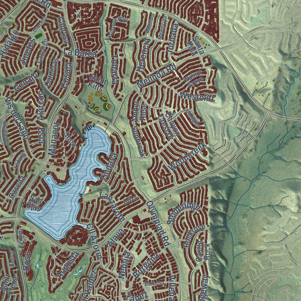
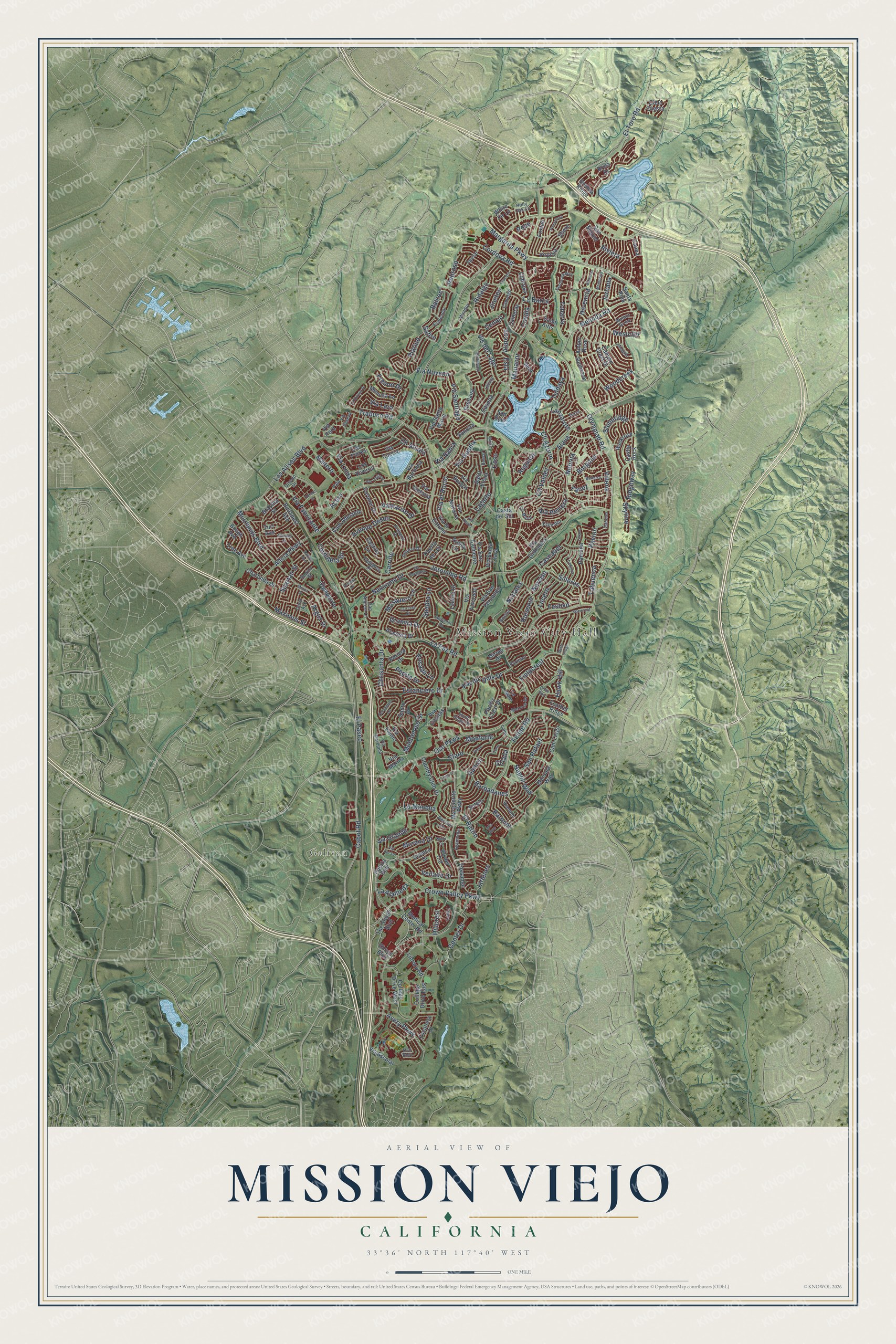
Explore Mission Viejo, California from a whole new perspective. Created using aerial imagery and detailed geographic data, this map captures Mission Viejo building by building, with labeled streets, familiar landmarks, and shaded topographical relief that highlights the natural contours of the landscape.
Combining modern data with the timeless character of a vintage atlas, this map is just as interesting up close as it is beautiful on the wall. Whether you grew up in Mission Viejo, spent memorable years there, or call it home today, this unique map is a great way to celebrate a place that means something to you. Zoom in on the preview to look for your street, and then order a print to put your memories on the wall.
Three ways to hang it
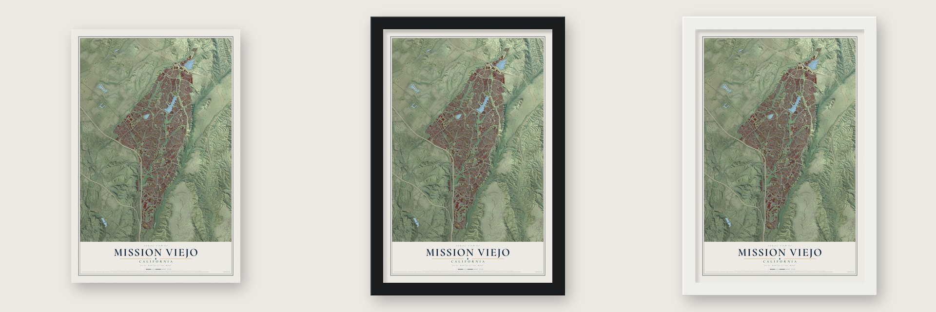
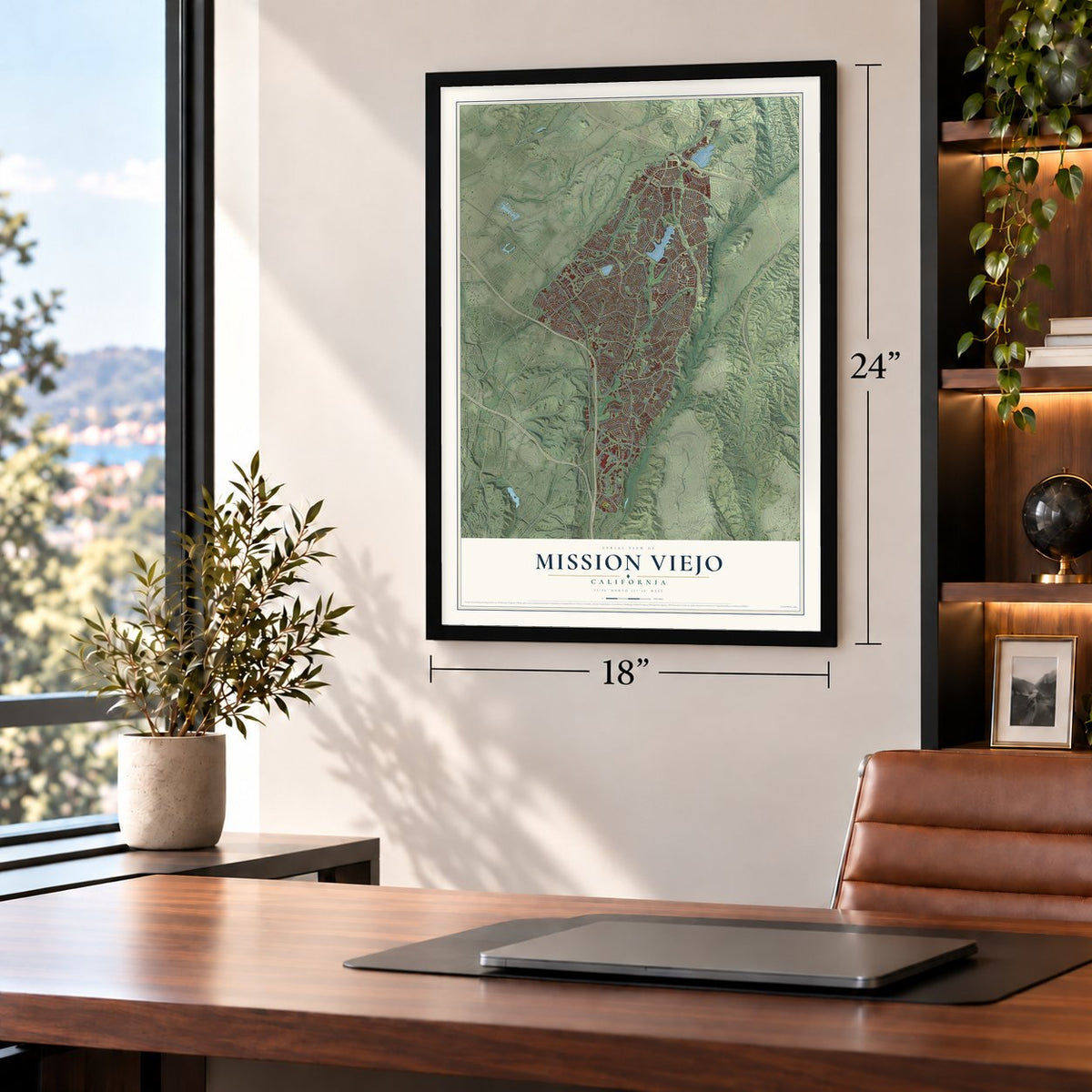
Unframed archival matte, a black wood frame or a white wood frame.
Up close
Geography Worth Displaying
This map was created using accurate cartographic data and authoritative geographic sources, including the U.S. Geological Survey and the Census Bureau. The map brings together terrain, waterways, roads, and building detail. The majority of the streets are labeled, houses are accurately depicted, and the topography is derived from government sources. Combining local data with carefully composed color and shading leads to this beautifully detailed Mission Viejo artwork for your wall.
Rather than simply showing street outlines, we’ve included as many of the street names as we could reasonably fit on the map while keeping their names legible. Zoom in on the high resolution preview to see exactly what’s on the map. We truly set out to create a statement piece for anyone who loves Mission Viejo. So whether it’s for you, or a gift for someone you love, we hope this map of Mission Viejo brings back fond memories.
Read the story behind this map of Mission Viejo, California from 2026.
Find your street
Names on the Mission Viejo map
Every name below is printed on this map. Look for your street, your school, the park where you played, or the pond down the road.
Places and landmarks2
- Mission Viejo City Hall
- Galivan
Streets and roads256
- Riviera
- Trabuco Road
- Augusta
- Los Alisos Boulevard
- Alicia Parkway
- Jeronimo Road
- La Paz Road
- Oso Parkway
- Margarita Parkway
- Felipe Road
- Muirlands Boulevard
- Olympiad Road
- Chrisanta Drive
- Crown Valley Parkway
- Vis del Lago
- El Toro Road
- Avery Parkway
- Cabot Road
- Pacific Hills Drive
- Cll Valdez
- Cll Azorin
- Melinda Road
- La Barca
- Villena
- La Mancha
- Avenue Deseo
- Stoneridge
- Montanoso Drive
- Silleros
- Hillcrest
Show all 256 streets
- San Rafael
- Via Noveno
- Hidalgo
- Via Fabricante
- El Retiro
- Via Grande
- Mosquero Lane
- Center Drive
- El Paseo
- Estanciero Drive
- Spartan Street
- Cll Alcala
- Madero
- Carrillo
- Ruisenor
- Cordillera Drive
- Venado Drive
- Spadra Lane
- Alava
- Via Guadix
- Via el Rocio
- Jardines
- Westcliff
- Valpariso Drive
- Tobarra
- Cordova Road
- Claro
- Via Linda
- Borgona
- Platino
- Fieldcrest
- Via Santiago
- Tindaya
- Maximus Street
- Morena Drive
- Barbadanes
- Lagarto
- Pavion
- Baronet
- Pepita Drive
- Cascabel
- Naccome Drive
- Ridgeway
- Lanzarote
- Woodcreek
- Skyline
- Tabuenca
- Via Bahia
- Napoli Way
- Via Herrera
- Granvia Drive
- Manacor
- Lucero
- La Alameda
- Jornada
- Festivo
- Balcon
- Cosala
- Posada Lane
- Pedroso
- Ganiza
- Alarcon
- Hawk Hill
- Golada
- Cenajo
- Herencia
- Fresno Drive
- Monforte
- Via Lara
- Safiro
- Argus Drive
- Acero
- Narciso
- Nopales
- Jinetes
- Nebrija
- Coso
- Rose
- Esla
- Yanez
- The Shops Boulevard
- Shops Boulevard
- San Miguel
- Marguerite Parkway
- Puerta Real
- College Drive West
- College Drive East
- Via Viento
- Via Santa Maria
- Casta del Sol
- Castle Rock
- Canyon Crest Drive
- Via Granados
- Pacific Crest Drive
- Saint Elena
- Tossamar
- Via la Coruna
- Via Santa Clara
- Via Navarra
- Cam Largo
- Medical Center Road
- Olympus Drive
- Country Club Drive
- Rockrose
- Ladera Drive
- Coronel Drive
- Sotelo
- Cabrosa
- Via Burgos
- Ramona
- Sienna Ridge
- Via San Fernando
- Pericia Drive
- Mirino Drive
- Puerta de Luz
- Via San Clemente
- Cam Adelanto
- Orellana
- Cll del Cid
- Tree Avenue
- Charlinda Drive
- Turf Avenue
- Via Victoria
- Castilla Lane
- Via Cuervo
- Marsala Way
- Santo Drive
- Via Burriana
- Virginia
- Mimosa Lane
- Aracena Drive
- Calderas
- Via Escolar
- Budapest Avenue
- Library Road
- Sunbrook
- Las Flores
- Brasilia Street
- Escalona Drive
- Via Casitas
- Los Viveros
- Feather Ridge
- Inca
- Via Marina
- White Fir Lane
- Via Alvorado
- Cielo Cresta
- Cuenca Drive
- Sonoita
- Amber Rose
- Brisa Drive
- Caseda
- Santa Pola
- Bough Avenue
- Shore
- Canea
- Foxtail
- Via Pera
- Arena Lane
- San Blas
- Saint Kitts
- Espinoza
- Juaneno Drive
- Mirador
- Ayamonte
- Via Marejada
- Leticia
- Melrose Drive
- Via Cereza
- Camargo
- Esplendor
- Papagayo Drive
- Cll Marin
- Walnut Grove
- Recodo Lane
- Brandon
- Aguilar
- Holly Oak Lane
- Amurro Drive
- San Andres Lane
- Zancon
- Pala
- Doria Avenue
- Parremo
- South Ridge Drive
- Driza
- Lalin
- Regina Street
- Le Mans
- Diseno Drive
- Bocina
- Iris Avenue
- Oso Rojo
- Crucero
- Via del Sol
- Canaveras
- Carretas Drive
- Via Zaragosa
- Preciados Drive
- Somerset
- Ponderosa
- Eastbrook Way
- Viana
- Adriana Street
- Via Logrono
- La Quinta Drive
- Cervantes Lane
- Barbosa
- La Paja Lane
- Quail Run
- Membrilla
- Obrero Drive
- Misty Ridge
- Pineglen
- Balerma
- Gitano
- Falkirk
- Sabina Avenue
- Tono
- Via Flores
- Bolivar
- Ledana
- Minoa Drive
- Arcada Drive
- Denia
- Mirlo Circle
Names are listed as they appear on the printed map. Zoom into the product photos to find them.
About Mission Viejo, California
Mission Viejo is a city of 93,653 people in Orange County, in the Saddleback Valley. Its name, Spanish for "Old Mission," comes from Rancho Mission Viejo, a big Spanish land grant. Don Juan Forster, a Mexican ranchero who was born in England, later bought the grant. During the Mexican-American War, Forster gave fresh horses to U.S. troops marching from San Diego to take Los Angeles. The hilly ground was of little use to farmers, so for years it served as grazing land for cattle and sheep.
Because the land was so rugged, it was one of the last parts of Orange County to be built up, and in 1960 early developers called most of it "undevelopable." Donald Bren drew up a master plan that ran the roads through the valleys and set the houses on the hills, following the shape of the land. The plan worked. By 1980 much of the city was finished, and in the late 1970s and the 1980s new tracts often sold out before building started.
“In 1984, the residents of Mission Viejo opened their hearts and homes to the world by hosting the Olympic men's and women's division of the cycling road races.”
- Built in mission styleNearly all of the city's houses and shopping centers follow a Spanish mission design, with stucco walls made to look like adobe and roofs of barrel tile. Many people see Mission Viejo as the first and largest example of Bren's love of Spanish architecture.
- Olympiad Road since 1984The road cycling races of the 1984 Summer Olympics in Los Angeles were held here, and the old O'Neill Road was renamed Olympiad Road in their honor. In 2004, twenty years after the races, the city set a permanent start and finish line and historic markers on Olympiad Road, by the entrance to Lake Mission Viejo.
- Home of the NadadoresThe Mission Viejo Nadadores swimming and diving teams won a run of national titles in the 1970s and 1980s. Their Olympians included Shirley Babashoff, Brian Goodell, Dara Torres and Greg Louganis.
- A lake and 36 parksLake Mission Viejo, a man-made lake, runs about a mile along Marguerite Parkway from Olympiad Road to Alicia Parkway. Mission Viejo has roughly two parks for each square mile of land, and Florence Joyner Olympiad Park was the 36th one it built.
Keep exploring California
Mission Viejo is one of 1,990 California towns we've mapped. Every dot on the map is a print of its own.
The search covers every state, California first.
Near Mission Viejo
Order 2 or more town maps and save 10%. Shown in the size and finish you picked above, so they hang as a set.
- Las Flores 12" x 18" / Archival Matte Print $39.99
- Laguna Hills 12" x 18" / Archival Matte Print $39.99
- Lake Forest 12" x 18" / Archival Matte Print $39.99
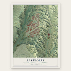
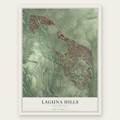
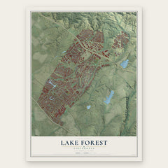
More maps nearby: Rancho Santa Margarita, Coto de Caza, Ladera Ranch, Laguna Woods and Aliso Viejo.
The art of mapping a place
How This Map Was Made
Real places. Remarkable detail. Discover the layers that turn geographic data into a map of home.

The view from above
Aerial imagery reveals the character of the land: woodland, open fields, and the patterns of a place.

The shape of the land
Elevation data brings hills, valleys, and subtle changes in the landscape into view.

The details of home
Roads, waterways, and building footprints come together to make the map feel unmistakably local.

Geography becomes art
Considered color, shading, and typography bring the layers together in a map made for your wall.


Process illustrated with Mendon, Massachusetts. Aerial imagery: USDA NAIP. Terrain: USGS 3D Elevation Program. Map details and finished artwork: KNOWOL.
The Details
About This Print
Choose an archival matte print, or a black or white Ayous wood frame. The archival matte print is unframed.
Select your size and finish above to see the matching product image and price.
Materials & Craftsmanship
A contemporary map with the character of a classic atlas, printed on archival matte paper. Optional frames are made from Ayous wood.
Your printed map does not include the watermark shown in the full-map preview.
Shipping & Delivery
Free shipping within the United States. Every print is made to order in the USA.
Buying a gift? Add a note in your cart and we'll include it. We never put prices in the package.
Prints ship within 2 to 3 business days. Allow 7 to 10 days total from ordering for delivery. Timing may vary during holidays or periods of high order volume.
Read our shipping policy.
Returns and damaged prints
Each print is made to order. Change-of-mind refunds are not available after production.
If your print arrives damaged, misprinted or incorrect, contact support@knowol.com within 30 days of receiving it. Include your order number, photos and a description of the issue.
Read our full refund and replacement policy. For questions about your order, email support@knowol.com.