
Search for another town



Free U.S. delivery 7 to 10 days after you order
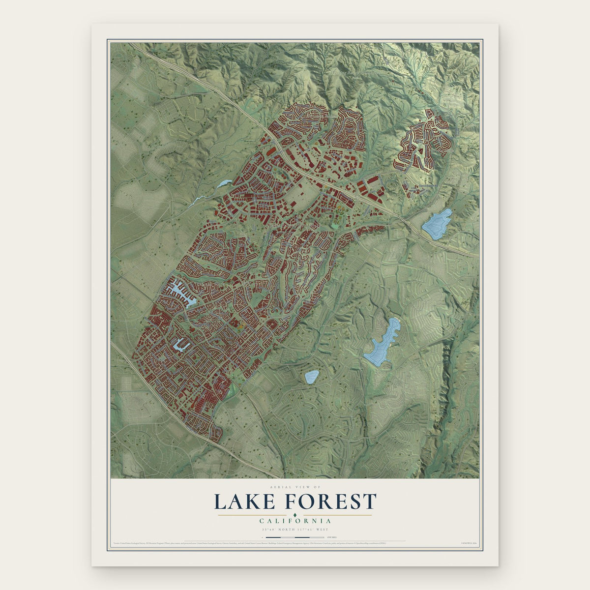
Lake Forest, California Map Art
Building by building, with labeled streets and shaded relief.
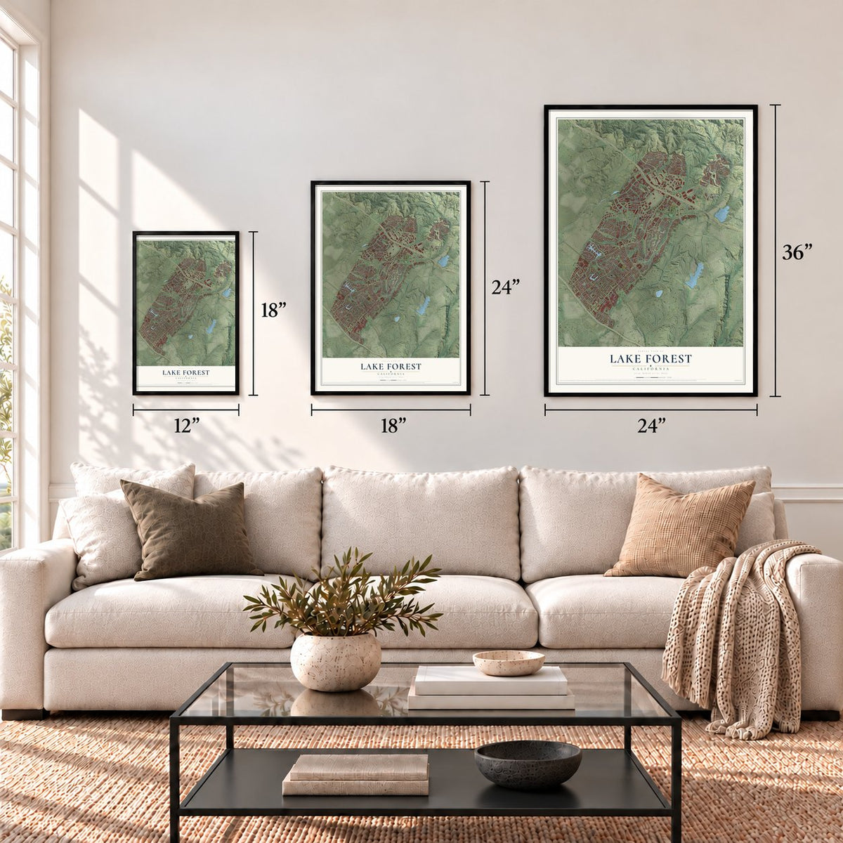
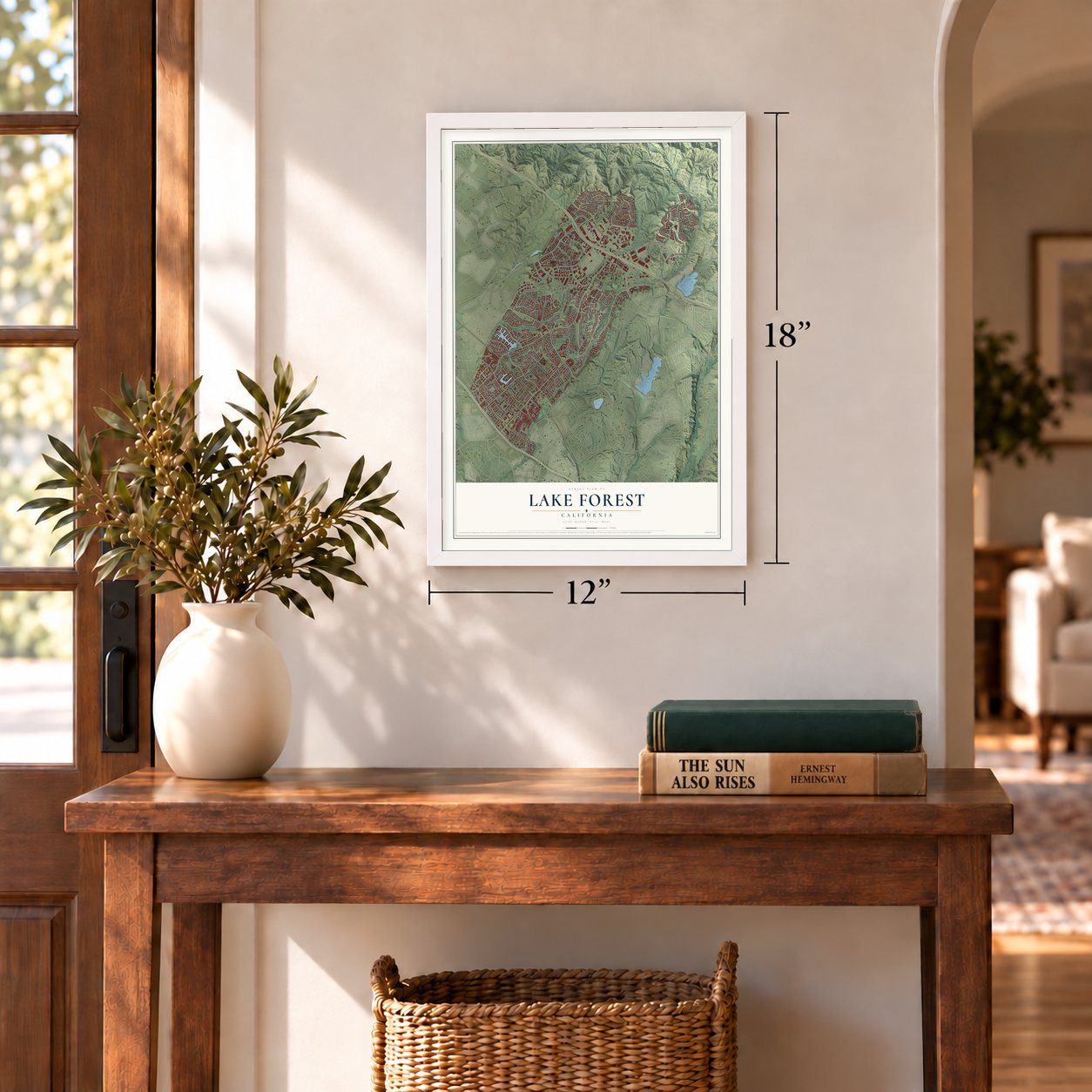
12" x 18" Archival Matte Print
A Map of Home. A Work of Art.
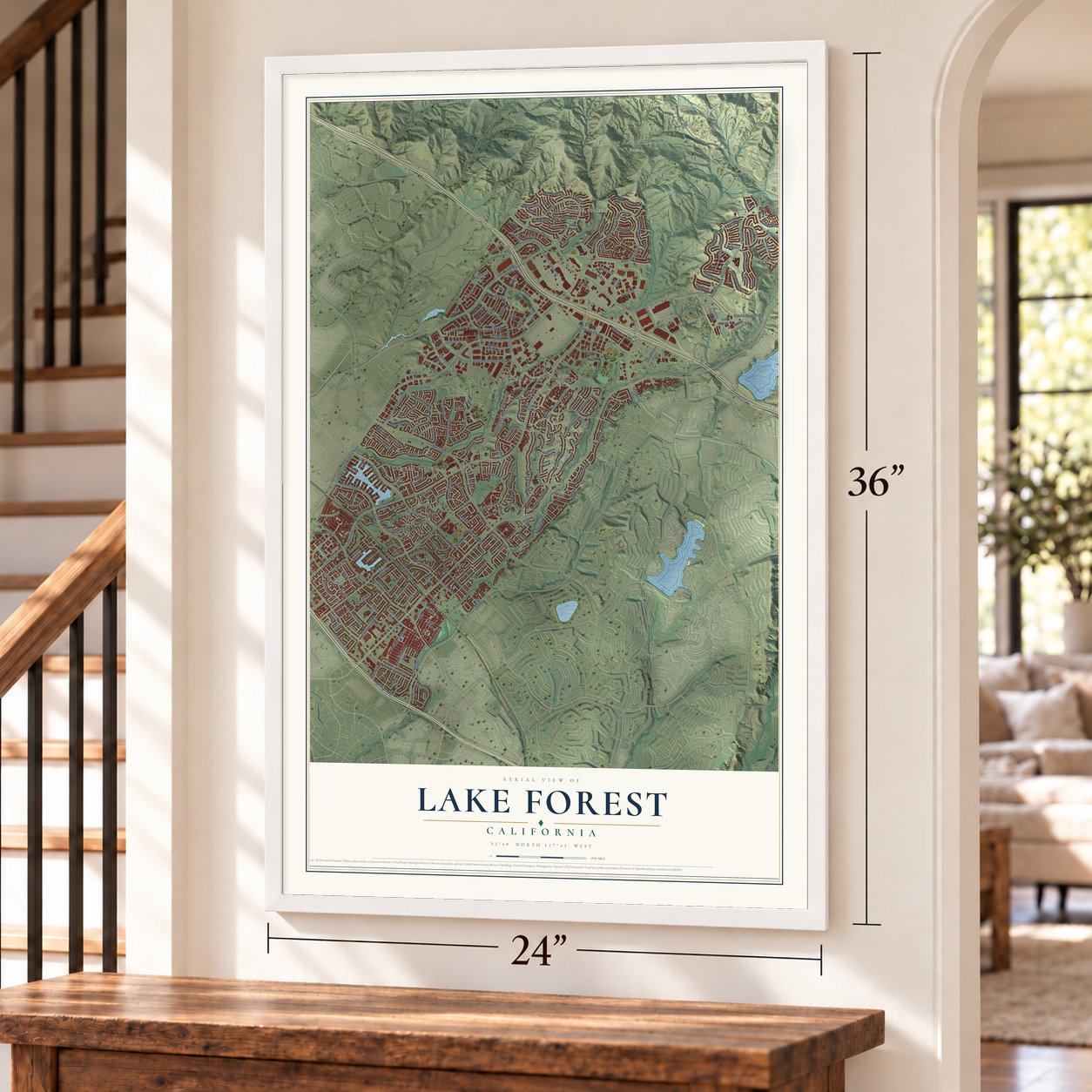
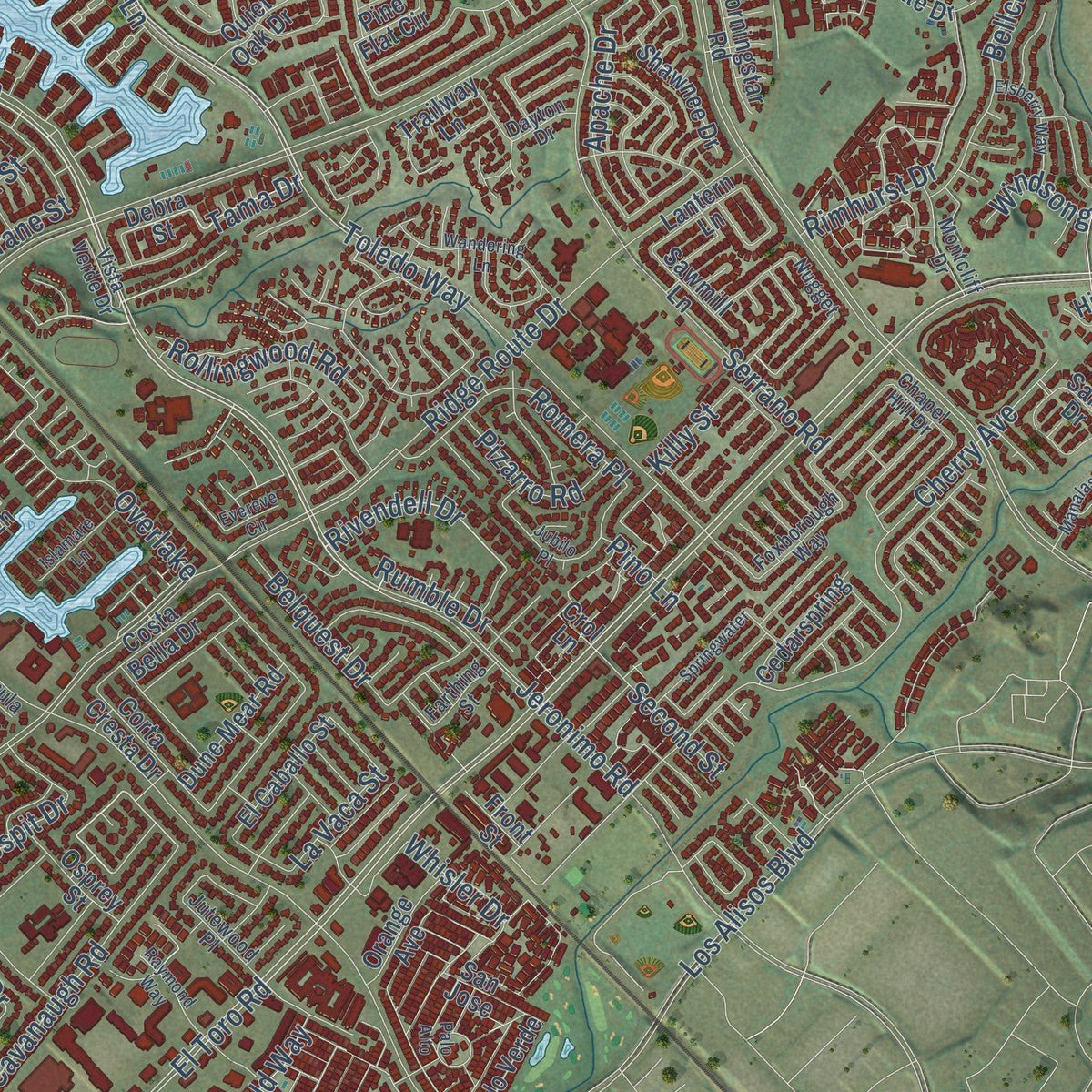
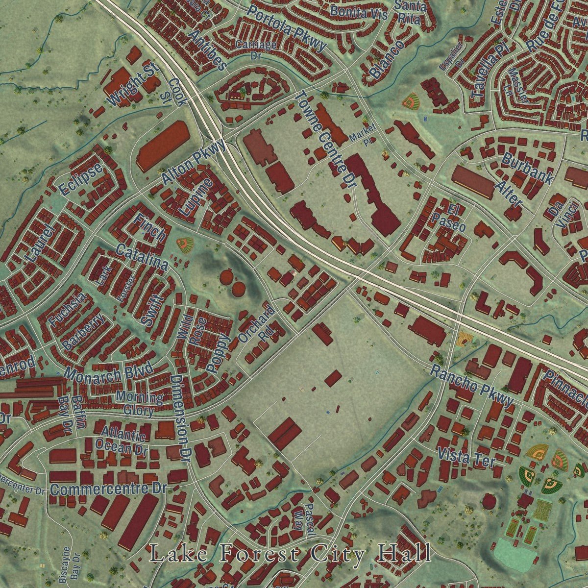
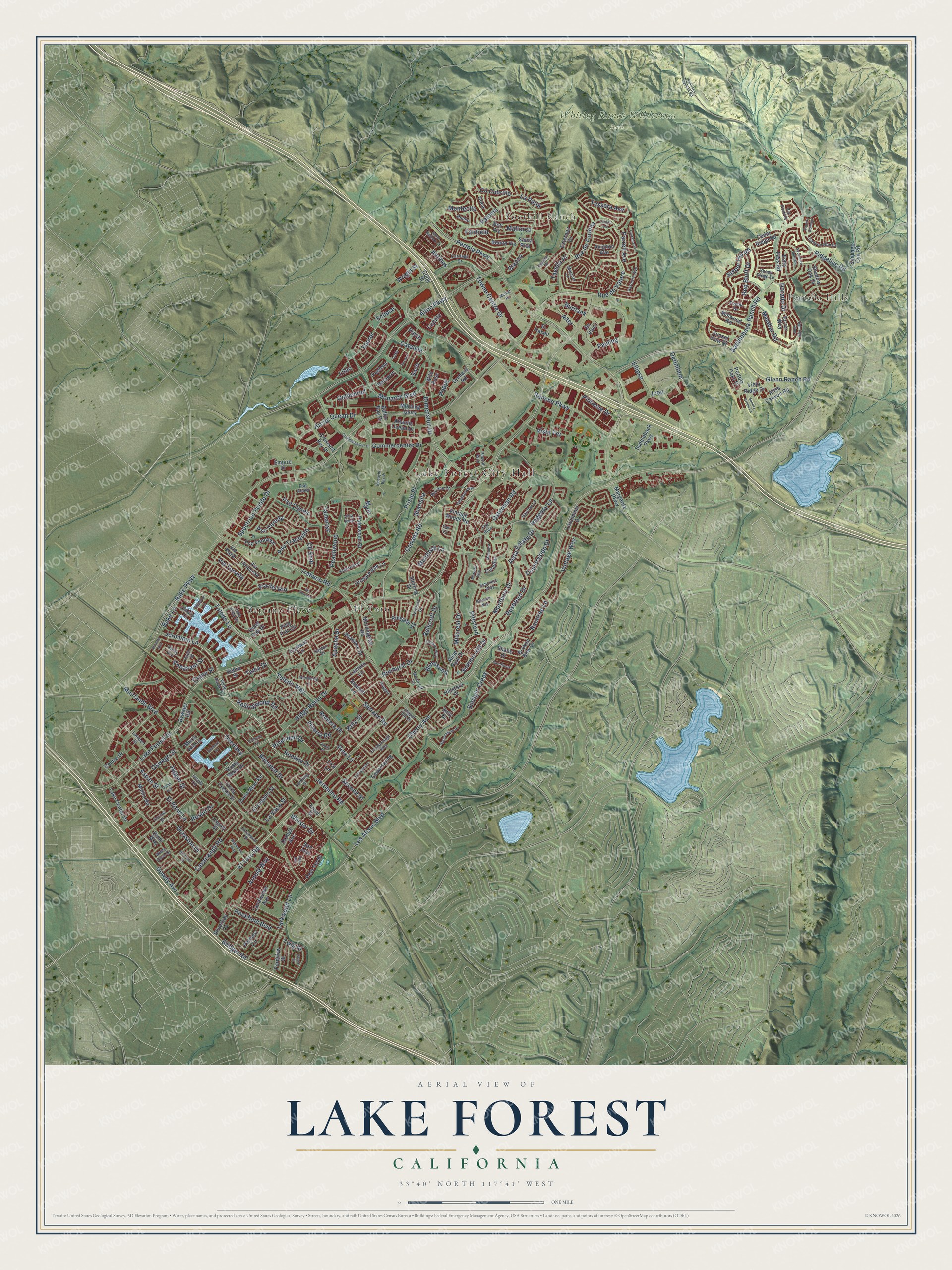
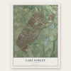
Explore Lake Forest, California from a whole new perspective. Created using aerial imagery and detailed geographic data, this map captures Lake Forest building by building, with labeled streets, familiar landmarks, and shaded topographical relief that highlights the natural contours of the landscape.
Combining modern data with the timeless character of a vintage atlas, this map is just as interesting up close as it is beautiful on the wall. Whether you grew up in Lake Forest, spent memorable years there, or call it home today, this unique map is a great way to celebrate a place that means something to you. Zoom in on the preview to look for your street, and then order a print to put your memories on the wall.
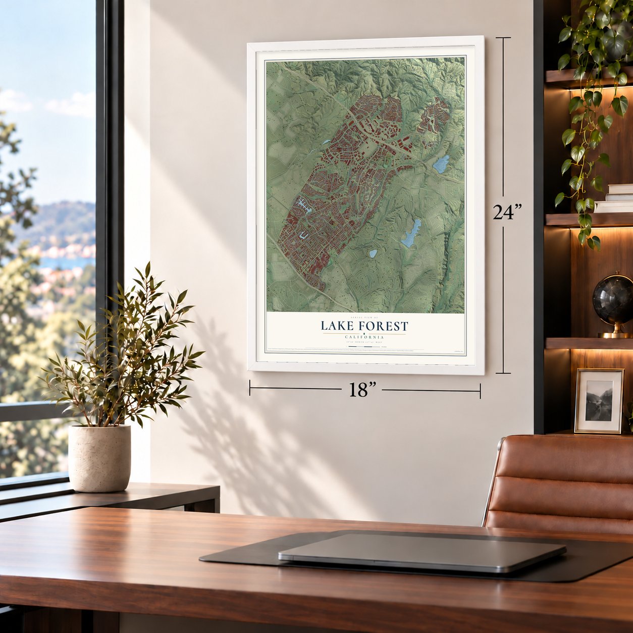
Three ways to hang it
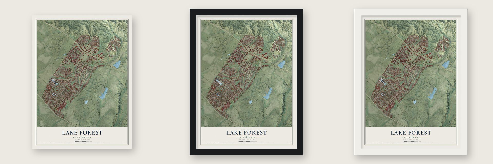
Unframed archival matte, a black wood frame or a white wood frame.
Up close
Geography Worth Displaying
This map was created using accurate cartographic data and authoritative geographic sources, including the U.S. Geological Survey and the Census Bureau. The map brings together terrain, waterways, roads, and building detail. The majority of the streets are labeled, houses are accurately depicted, and the topography is derived from government sources. Combining local data with carefully composed color and shading leads to this beautifully detailed Lake Forest artwork for your wall.
Rather than simply showing street outlines, we’ve included as many of the street names as we could reasonably fit on the map while keeping their names legible. Zoom in on the high resolution preview to see exactly what’s on the map. We truly set out to create a statement piece for anyone who loves Lake Forest. So whether it’s for you, or a gift for someone you love, we hope this map of Lake Forest brings back fond memories.
Read the story behind this map of Lake Forest, California from 2026.
Find your street
Names on the Lake Forest map
Every name below is printed on this map. Look for your street, your school, the park where you played, or the pond down the road.
Places and landmarks6
- Lake Forest City Hall
- Portola Hills
- Foothill Ranch
- Whiting Ranch Wilderness Park
- El Toro
- Serrano Place
Streets and roads260
- Lake Forest Drive
- Rushford Drive
- Tama Drive
- El Toro Road
- Rivendell Drive
- Arnold Way
- Bake Parkway
- Portola Parkway
- Trabuco Road
- Alton Parkway
- Ridge Route Drive
- Towne Centre Drive
- Rancho Parkway
- Rockfield Boulevard
- Jeronimo Road
- Muirlands Boulevard
- Los Alisos Boulevard
- Toledo Way
- Serrano Road
- Dimension Drive
- Cherry Avenue
- Canada Road
- Glenn Ranch Road
- Saddleback Ranch Road
- Via del Rio
- Pittsford
- Cavanaugh Road
- Paloma
- Regency Lane
- Ridgeline Road
Show all 260 streets
- Osterman Road
- Rue de Fortuna
- Midcrest Drive
- Aspan Street
- Pauling
- Gowdy Avenue
- Rue de Valore
- Spectrum Pointe Drive
- Montbury Drive
- Monarch Boulevard
- Prism Place
- Overlake
- Peachwood
- Jasper Hill Road
- Larkwood Lane
- Toledo Lane
- Jeronimo Lane
- Catalina
- Bridger Road
- Rimhurst Drive
- Bellcroft Drive
- Vintage Way
- Sunlight Creek
- Commercentre Drive
- Laurel
- Rollingwood Road
- Pso Tranquilo
- Red Bluff Drive
- Second Street
- Dorado Drive
- Tamarisk
- Malabar Road
- Raintree Lane
- Summit Hill Drive
- La Perla
- Twig Street
- Bake Lane
- Whisler Drive
- Arctic Ocean Drive
- Countryside Drive
- Apache Drive
- Cll Cabrillo
- La Vaca Street
- Belquest Drive
- Burbank
- Tessera Avenue
- Pizarro Road
- El Rond Lane
- Finch
- Vista Estate Drive
- Parrell Avenue
- Vista Terrace
- Jagger Street
- Goldenrod
- Oswego Street
- McIntosh Lane
- Montecilo
- Grayston Drive
- Pheasant Street
- Icon
- Rumble Drive
- Pinnacle Drive
- Ellipse
- Romera Place
- Via Tonada
- Pso Cipres
- Pso Vereda
- Alter
- Windsong
- Respit Drive
- Definition
- Pino Lane
- Blanco
- Cll Sndr
- Killy Street
- Tavella Place
- Mallorca
- Fairfield
- Wright Street
- Sharmila
- Crane Street
- Antibes
- Poppy
- Eclipse
- Swift
- Lupine
- Lilac
- Marin
- Debra Street
- Pine Flat Circle
- Saddleback Parkway
- Dune Mear Road
- Vintage Woods Road
- Palmwood Drive
- Aliso Park Drive
- Atlantic Ocean Drive
- Landisview Avenue
- Costa Bella Drive
- Viejo Ridge Drive
- Orange Avenue
- Santiago Cyn Road
- Margarita Parkway
- Corta Cresta Drive
- Sunset View Drive
- Front Street
- Avignon Avenue
- Pso Vendaval
- El Caballo Street
- Wild Rose
- Quiet Oak Drive
- Orchard Rim Lane
- Portola Oaks Drive
- Aliso Canyon Road
- Lake Center Drive
- Esternay Drive
- Da Vinci
- Mullin Road
- Morningstar Road
- Orchard Road
- Via Princesa
- Fordview Street
- Palmek Circle
- Sterling Drive
- Millwood Road
- Crescent Bay Drive
- Shawnee Drive
- Cedar Ridge Road
- Rimgate Drive
- Cedarspring
- Silverbay Drive
- Osprey Street
- Palo Verde
- Larchmont Drive
- El Paseo
- Bywater Road
- Shadow Oak Drive
- Sawmill Lane
- Morning Glory
- Centre Drive
- Murin Isle Lane
- Trailway Lane
- Bonita Vis
- Hillsford Place
- Broken Bow Drive
- Lantern Lane
- Torres Way
- Echo Pass Road
- Coralita
- Barberry
- Coca
- Bell Vis
- Shane Drive
- San Jose
- Quail Way
- Empire Drive
- Fuchsia
- Cook Street
- Baffin Bay Drive
- Santa Rita
- Via Raza
- Sally Drive
- Crol Lane
- Elderwood
- Carriage Drive
- Canyon Rim Drive
- Parterre Avenue
- Jutewood Place
- Heatherview
- Twinford Drive
- Montcliff Drive
- Lambert Street
- Foxborough Way
- Lake Vista Drive
- Massier Lane
- Barclay Lane
- Serrano Court
- Elmcrest Way
- Robin Street
- Ontario Lane
- Rodeo
- Carmel Drive
- Shady Ridge Lane
- Vista Verde Drive
- Farthing Street
- Chapel Hill Drive
- Kathy Avenue
- Pueblo Drive
- Nugget
- Pascal Way
- White Dove Drive
- Dayton Drive
- Villa Real
- Vis Portola
- Pso Abeto
- Ursula Circle
- Lark
- Fox Glen
- Owl Court
- Commercenter Drive
- Biscayne Bay Drive
- Highridge Way
- Sycamore Glen Drive
- Toulon Avenue
- Raymond Way
- Wandering Lane
- Dylan Avenue
- Jubilo Place
- Springwater
- Elsberry Way
- Manalastas Drive
- Santiago Canyon Road
- Sonora Creek Lane
- Birdrock Drive
- Islamare Lane
- Evereve Circle
- Canyon Summit
- Monterra
- Market Place
- Santa Barbara Court
- Moresby Way
- Touraine Place
- Forster
- Kari Brook
- Palo Alto
- Superior Lane
- Belshire Way
- Espalier Drive
- Vis Serrano
- Annette Avenue
- Grass Street
Names are listed as they appear on the printed map. Zoom into the product photos to find them.
About Lake Forest, California
Lake Forest is a city of 85,858 people in Orange County, in the Saddleback Valley at the foot of the Santa Ana Mountains. In 1847 José Serrano and his family settled on 11,000 acres of Rancho Cañada de los Alisos, which the Mexican government had granted them. From 1863 the community here was called El Toro, Spanish for "the bull." The ranch land later passed to Dwight Whiting, who helped bring the Santa Fe railroad through the region.
In the first decade of the 1900s, Whiting planted 400 acres of eucalyptus near Serrano Creek. He hoped a lumber business would draw people to the area. The groves spread and grew thick, and in the late 1960s Occidental Petroleum built a neighborhood in and around them. Residents voted to incorporate in 1991, and the city became official on December 20, 1991. In 2000 it grew to take in Foothill Ranch and Portola Hills.
- El Toro becomes Lake ForestIn 1991 voters picked the name Lake Forest in a referendum, for the town's two man-made lakes and Whiting's eucalyptus groves. The fight went on for months. People in the newer subdivisions liked the new name better, while longtime residents said it threw away the town's history. The new name stuck, but El Toro High School, opened in 1973, still carries the old one.
- The Serrano Adobe of 1863The Jose Serrano Adobe, built in 1863, is on the National Register. It stands in Heritage Hill Historical Park beside the old El Toro School House, where the town's children first went to class, and St. George's Episcopal Church, the first church in El Toro. The Harvey Bennett Ranch House, built in 1908, is there too.
- Oranges for SunkistHarvey and Frances Bennett grew oranges for Sunkist on their ranch. They owned state-deeded water rights to Aliso Creek, which were very rare in California and key to the ranch's success. Lake Forest's Bennett Ranch neighborhood is named for them.
- Two Olympic skating championsEkaterina Gordeeva, who won Olympic gold in pair skating in 1988 and 1994, has lived in Lake Forest. So has Ilia Kulik, the men's singles gold medalist in 1998. All-Star third baseman Nolan Arenado is also from the city.
Keep exploring California
Lake Forest is one of 1,990 California towns we've mapped. Every dot on the map is a print of its own.
The search covers every state, California first.
Near Lake Forest
Order 2 or more town maps and save 10%. Shown in the size and finish you picked above, so they hang as a set.
- Mission Viejo 12" x 18" / Archival Matte Print $39.99
- Laguna Woods 12" x 18" / Archival Matte Print $39.99
- Laguna Hills 12" x 18" / Archival Matte Print $39.99

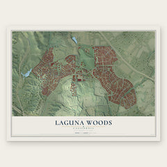
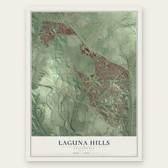
More maps nearby: Modjeska, Rancho Santa Margarita, Trabuco Canyon, Williams Canyon and Quail Hill.
The art of mapping a place
How This Map Was Made
Real places. Remarkable detail. Discover the layers that turn geographic data into a map of home.

The view from above
Aerial imagery reveals the character of the land: woodland, open fields, and the patterns of a place.

The shape of the land
Elevation data brings hills, valleys, and subtle changes in the landscape into view.

The details of home
Roads, waterways, and building footprints come together to make the map feel unmistakably local.

Geography becomes art
Considered color, shading, and typography bring the layers together in a map made for your wall.


Process illustrated with Mendon, Massachusetts. Aerial imagery: USDA NAIP. Terrain: USGS 3D Elevation Program. Map details and finished artwork: KNOWOL.
The Details
About This Print
Choose an archival matte print, or a black or white Ayous wood frame. The archival matte print is unframed.
Select your size and finish above to see the matching product image and price.
Materials & Craftsmanship
A contemporary map with the character of a classic atlas, printed on archival matte paper. Optional frames are made from Ayous wood.
Your printed map does not include the watermark shown in the full-map preview.
Shipping & Delivery
Free shipping within the United States. Every print is made to order in the USA.
Buying a gift? Add a note in your cart and we'll include it. We never put prices in the package.
Prints ship within 2 to 3 business days. Allow 7 to 10 days total from ordering for delivery. Timing may vary during holidays or periods of high order volume.
Read our shipping policy.
Returns and damaged prints
Each print is made to order. Change-of-mind refunds are not available after production.
If your print arrives damaged, misprinted or incorrect, contact support@knowol.com within 30 days of receiving it. Include your order number, photos and a description of the issue.
Read our full refund and replacement policy. For questions about your order, email support@knowol.com.