
Search for another town
Free U.S. delivery 7 to 10 days after you order
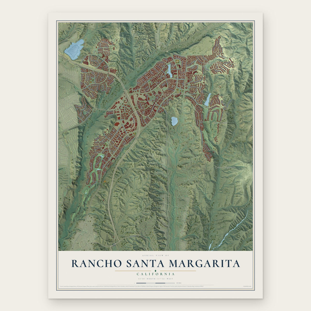
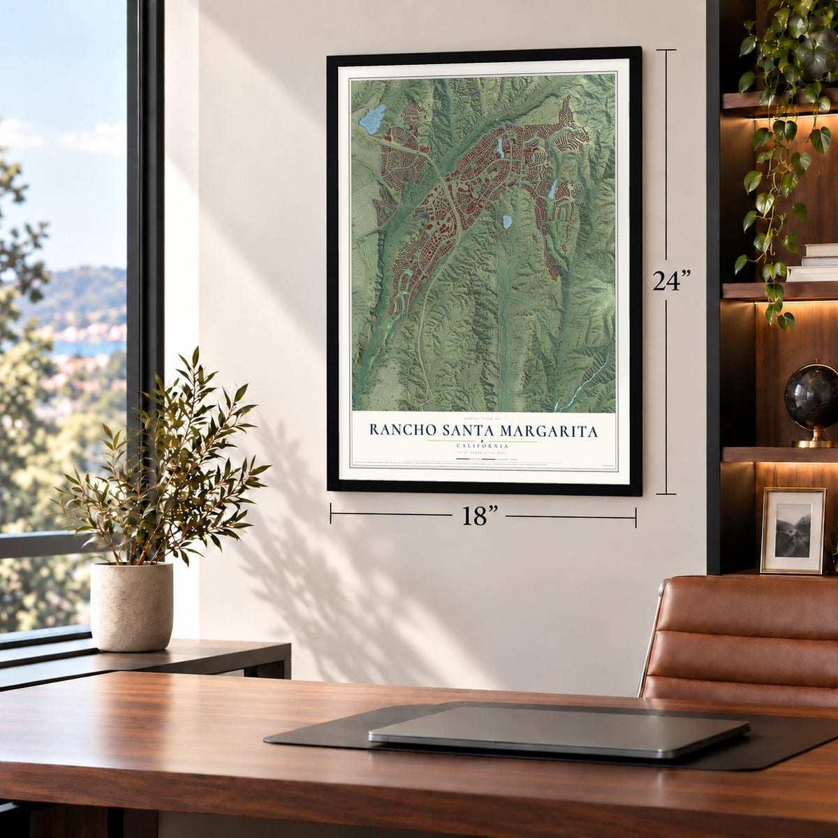
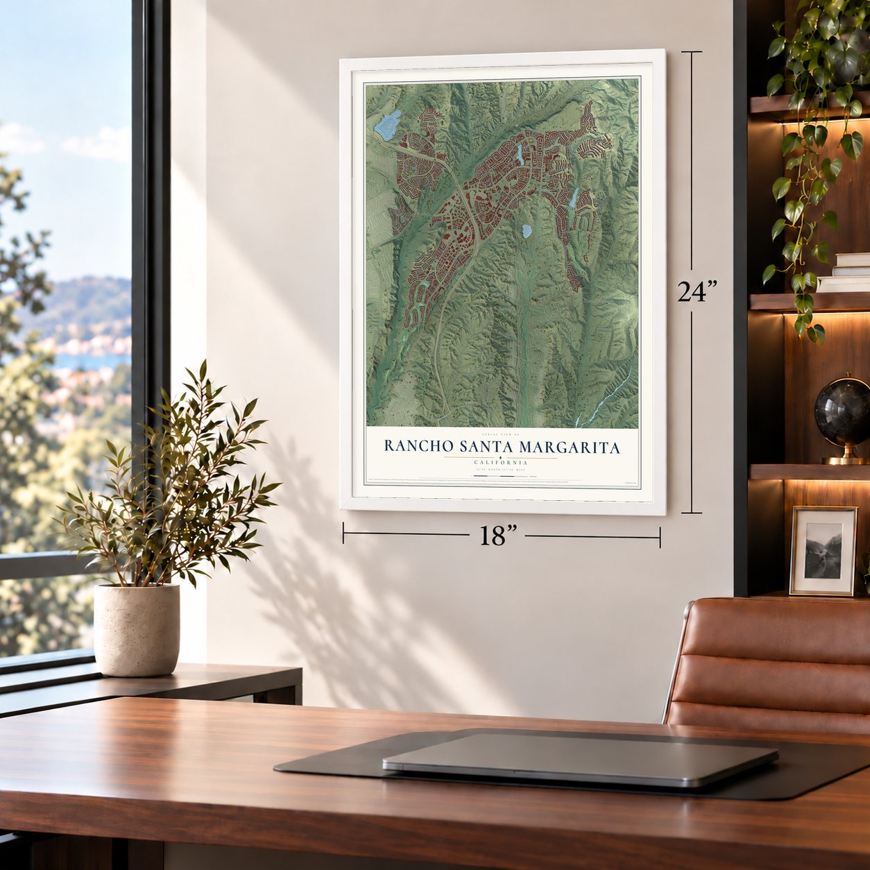
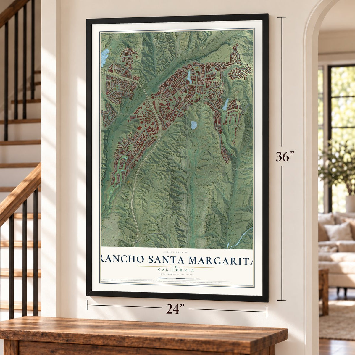
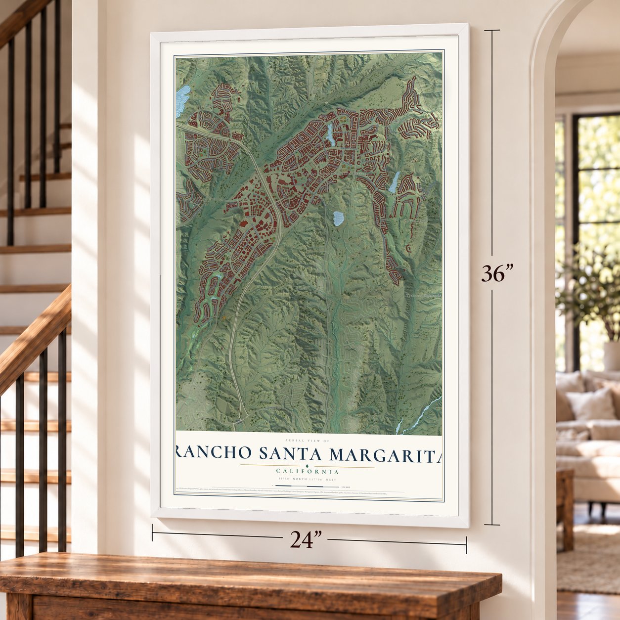
Rancho Santa Margarita, California Map Art
Building by building, with labeled streets and shaded relief.
12" x 18" Archival Matte Print
A Map of Home. A Work of Art.
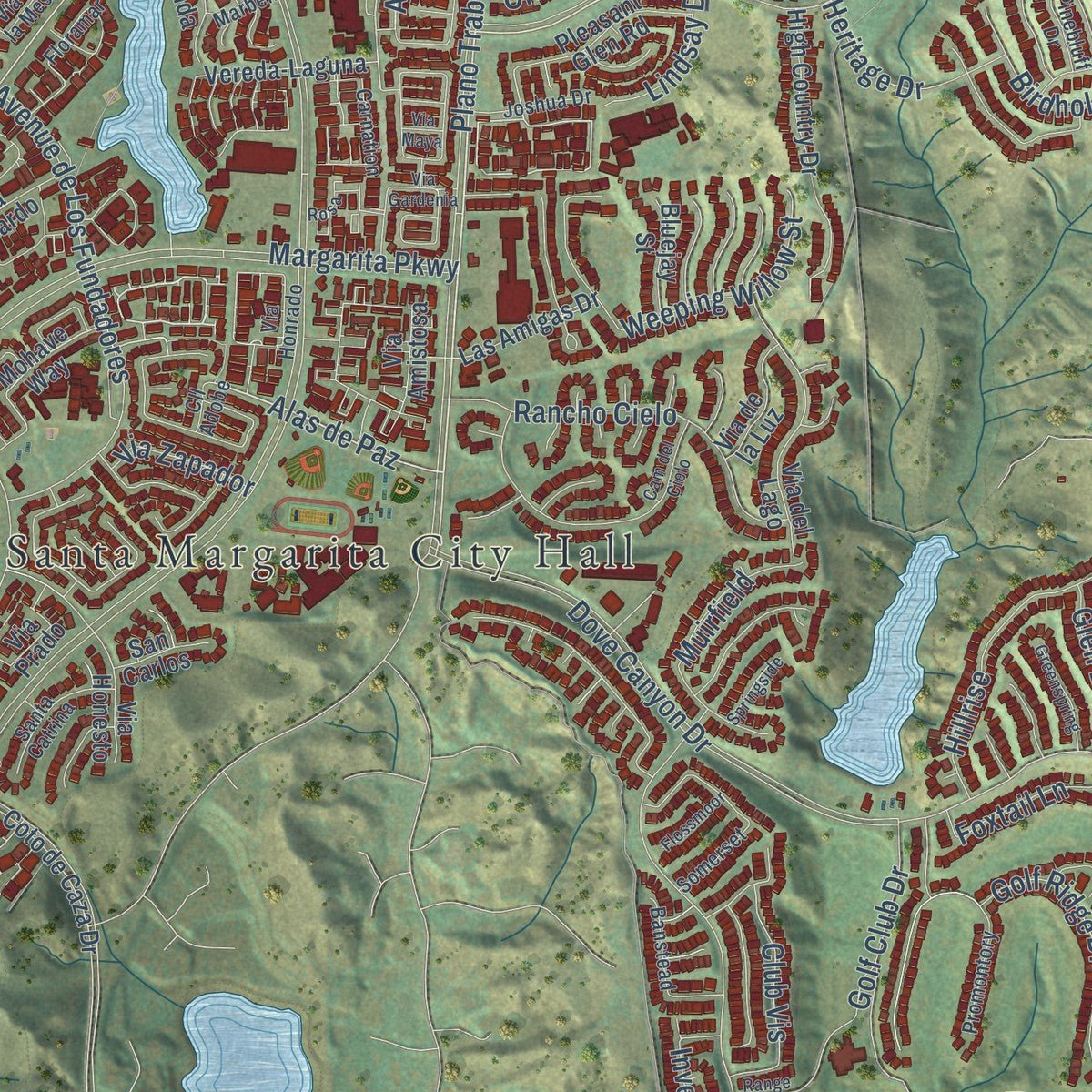
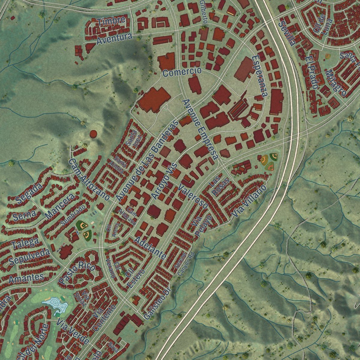
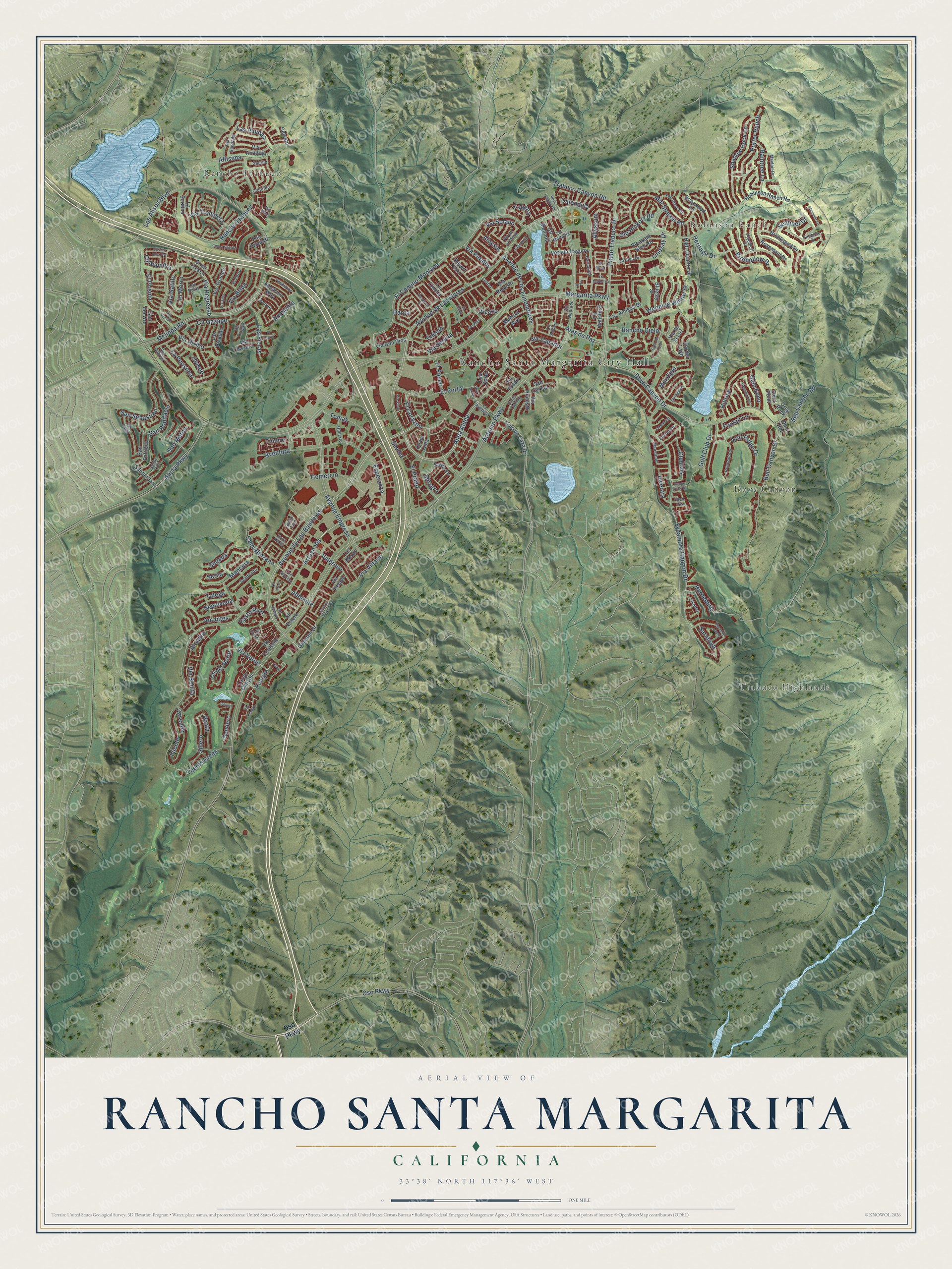
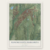
Explore Rancho Santa Margarita, California from a whole new perspective. Created using aerial imagery and detailed geographic data, this map captures Rancho Santa Margarita building by building, with labeled streets, familiar landmarks, and shaded topographical relief that highlights the natural contours of the landscape.
Combining modern data with the timeless character of a vintage atlas, this map is just as interesting up close as it is beautiful on the wall. Whether you grew up in Rancho Santa Margarita, spent memorable years there, or call it home today, this unique map is a great way to celebrate a place that means something to you. Zoom in on the preview to look for your street, and then order a print to put your memories on the wall.
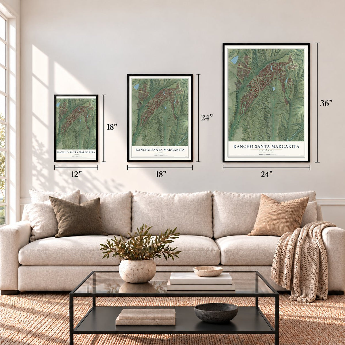
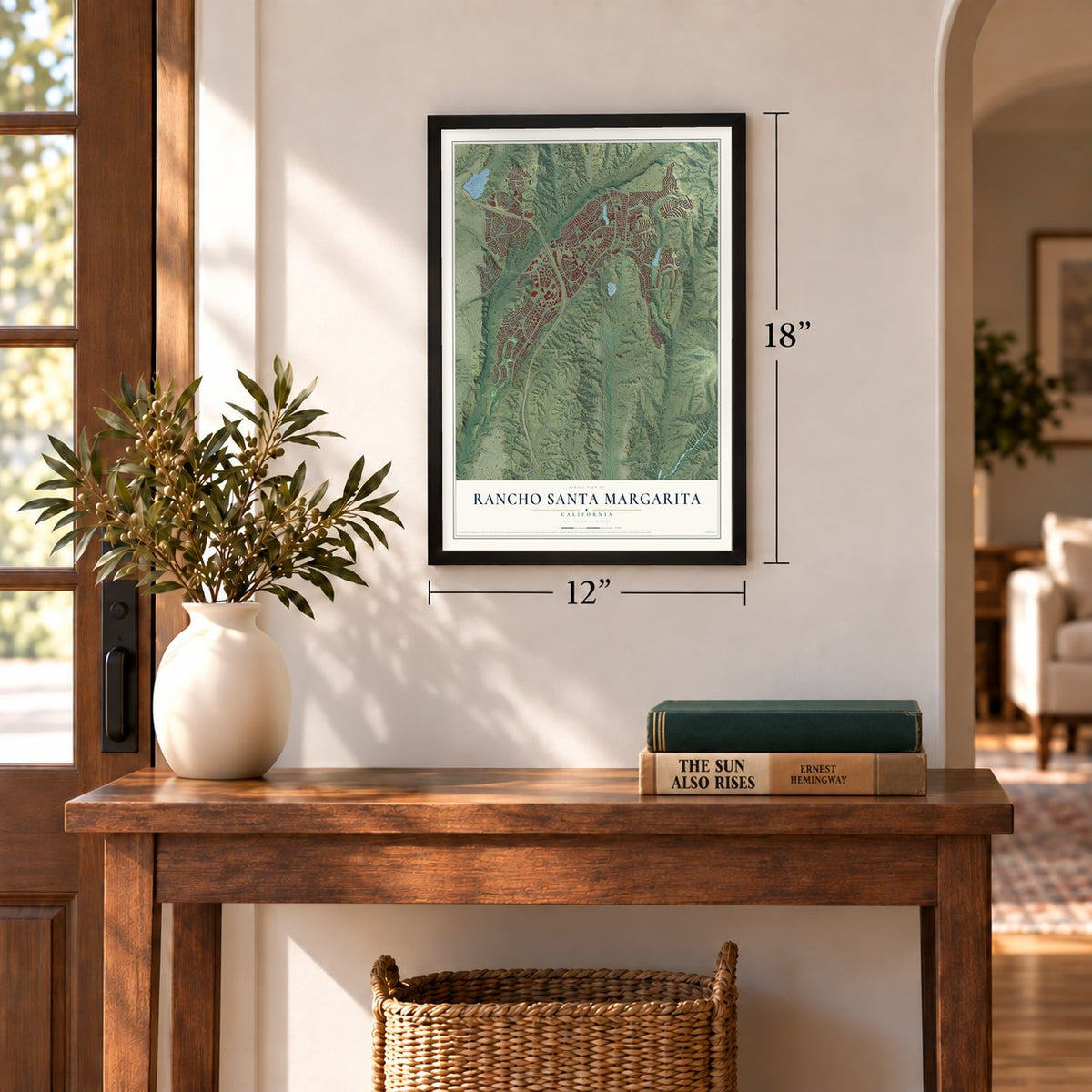
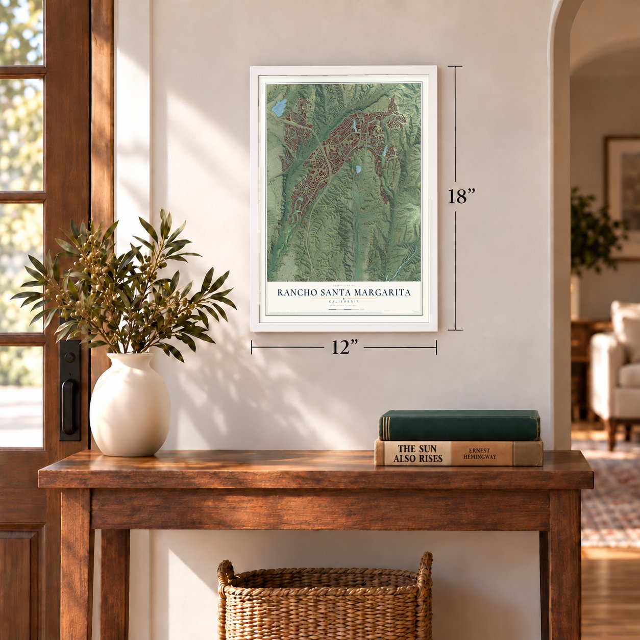
Three ways to hang it
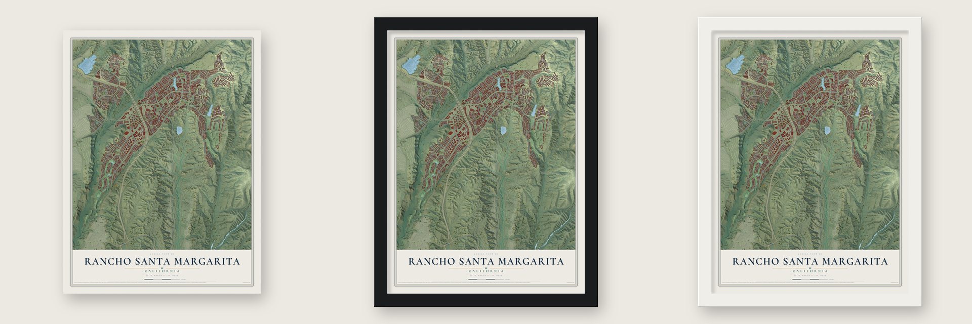
Unframed archival matte, a black wood frame or a white wood frame.
Up close
Geography Worth Displaying
This map was created using accurate cartographic data and authoritative geographic sources, including the U.S. Geological Survey and the Census Bureau. The map brings together terrain, waterways, roads, and building detail. The majority of the streets are labeled, houses are accurately depicted, and the topography is derived from government sources. Combining local data with carefully composed color and shading leads to this beautifully detailed Rancho Santa Margarita artwork for your wall.
Rather than simply showing street outlines, we’ve included as many of the street names as we could reasonably fit on the map while keeping their names legible. Zoom in on the high resolution preview to see exactly what’s on the map. We truly set out to create a statement piece for anyone who loves Rancho Santa Margarita. So whether it’s for you, or a gift for someone you love, we hope this map of Rancho Santa Margarita brings back fond memories.
Read the story behind this map of Rancho Santa Margarita, California from 2026.
Find your street
Names on the Rancho Santa Margarita map
Every name below is printed on this map. Look for your street, your school, the park where you played, or the pond down the road.
Places and landmarks5
- Rancho Santa Margarita City Hall
- Robinson Ranch
- Trabuco Highlands
- Dove Canyon
- Rancho Trabuco
Streets and roads213
- Avenue de Las Banderas
- Via Serena
- Pomelo
- Alas de Paz
- Alma Aldea
- Esperanza
- Avenue de Las Flores
- El Camino Montana
- Arroyo Vis
- Cll del Norte
- Antonio Parkway
- Margarita Parkway
- Melinda Road
- Avenue Empresa
- Sycamore Canyon Drive
- Dove Canyon Drive
- Alicia Parkway
- Plano Trabuco Drive
- Oso Parkway
- Los Alisos Boulevard
- Bell Canyon Drive
- Via Arribo
- Altisima
- Aventura
- Avenue de Los Fundadores
- Mill Stream Road
- Shadow Rock Lane
- El Paseo
- Tijeras Creek
- San Bonifacio
Show all 213 streets
- Rancho Cielo
- Cll Gazapo
- San Sebastian
- El Portal
- El Corazon
- Hillrise
- Golf Ridge Drive
- Bell Canyon Road
- Golf Club Drive
- Tomas
- Porter Ranch
- El Prado
- Via Trompeta
- Via Regresso
- Via Villario
- Weeping Willow Street
- Las Fieras
- Trabuco Canyon Road
- Segada
- Birdhollow Drive
- Via Bonita
- Raintree Lane
- Mancera
- Pasto Rico
- Heritage Drive
- Cam Altozano
- Valeroso
- Fuente
- Comercio
- Sillero
- Old Hickory Road
- Las Plumas
- La Purisima
- Amantes
- Via Gatillo
- El Prisma
- Club Vis
- Glen Echo
- Sendero
- Alondra
- Muirfield
- Barneburg
- Foxtail Lane
- Via Brida
- Lindsay Drive
- Sentinel Drive
- Via Verde
- Saratoga
- Cll Alamitos
- Reata
- San Mateo
- Via Petalos
- Milagro
- Via Zapador
- El Morro
- Via Solano
- Ammolite
- Allyssum
- Eneldo
- Inverary
- Timbre
- Sepulveda
- Calendula
- Talega
- Adelante
- Cascada
- Aloysia
- Danta
- Obispo
- Lobelia
- Sevilla
- Serna
- Picazo
- Galisteo Drive
- Via Con Dios
- Largo Canyon
- Mohave Way
- Vereda-Laguna
- Robinson Ranch Road
- Coto de Caza Drive
- Via Amistosa
- High Country Drive
- Brookseed Drive
- Via del Lago
- Via Honesto
- Brisa Fresca
- Via Contento
- Pleasant Glen Road
- Via Tronido
- Via Anadeja
- Pso Primero
- La Sordina
- Las Amigas Drive
- Briarwood Lane
- Grey Rock
- Santa Clara
- San Patricio
- Rosemont Drive
- Las Pisadas
- Via Ricardo
- Via de la Luz
- Cll Melinda
- Ametrine Way
- Cam del Oro
- Bluejay Street
- Santa Fe
- Cll Estero
- Desert Thorn
- Lila Corte
- Via Babera
- San Carlos
- La Cincha
- Field Point
- Via Pelayo
- Cll de Luna
- Celeste
- Las Rosas
- Via Prado
- Deer Run
- La Promesa
- Colorido
- Promontory
- San Gabriel
- Via de la Mesa
- Via Bandada
- Fall River Road
- Santa Catrina
- Mayfair Drive
- Joshua Drive
- Sembrado
- Pinebluff Drive
- Pinnacle Drive
- Gilberto
- Cll Verano
- Banstead
- Carnation
- Lazurite
- Via Honrado
- Somerset
- Las Balas
- Santa Cruz
- Floramar
- Cll Marbella
- Via Onagro
- El Potro
- Santa Inez
- Saltillo
- Elkader
- Laurel
- Cll Adobe
- Via Solaz
- Glen Iris
- Via Lampara
- Baya
- Mira Mesa
- Cam del Cielo
- Cam Altazano
- Via Vicini
- Mountain Laurel
- Plushstone
- Meander Lane
- Greenspring
- Tierra Seguro
- Osoberry Street
- Serene Canyon Road
- Via Gardenia
- Rose Canyon Road
- Cll San Luis Rey
- San Simon
- Springside
- Via Silla
- Flossmoor
- Coralino
- El Canto
- Via Encaro
- Range View Drive
- El Corzo
- Santa Arletta
- Cll Arcos
- Telura
- Rosa
- Pso Dalia
- Via Maya
Names are listed as they appear on the printed map. Zoom into the product photos to find them.
About Rancho Santa Margarita, California
Rancho Santa Margarita is a city of 47,949 people in Orange County. It sits on a high plateau called Plano Trabuco. This was the land of the Acjachemen people, and their village of Alume stood between Trabuco Creek and Tijeras Creek. In 1810 Mission San Juan Capistrano built the Trabuco Adobe near the village as an outpost.
The modern city grew as a planned community. Its name comes from Rancho Santa Margarita y Las Flores, a ranch in San Diego County. Its borders, though, lie inside the old Rancho Mission Viejo. The city was incorporated on January 1, 2000, and it became the 33rd city in Orange County.
- Hughes Aircraft, 1988 to 1992In May 1988 the Hughes Aircraft Company moved its Microelectronic Systems Division here from Irvine. Then aerospace budgets got tight. In August 1992 Hughes closed the plant and moved the division to Carlsbad.
- California's longest city nameThe name has 20 letters, or 22 if you count the spaces. That makes it the longest city name in the state. Rolling Hills Estates held the record with 19 letters until this city was incorporated on January 1, 2000.
- A seal with two ranch brandsTwo ranch brands ring the city seal. One is for Rancho Mission Viejo, and the other is for Rancho Santa Margarita y Las Flores. Santiago Peak rises behind, and the Rancho Santa Margarita Lake Tower stands in front.
Keep exploring California
Rancho Santa Margarita is one of 1,990 California towns we've mapped. Every dot on the map is a print of its own.
The search covers every state, California first.
Near Rancho Santa Margarita
Order 2 or more town maps and save 10%. Shown in the size and finish you picked above, so they hang as a set.
- Coto de Caza 12" x 18" / Archival Matte Print $39.99
- Trabuco Canyon 12" x 18" / Archival Matte Print $39.99
- Las Flores 12" x 18" / Archival Matte Print $39.99
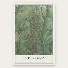
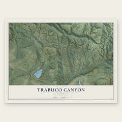
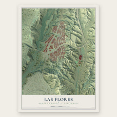
More maps nearby: Mission Viejo, Lake Forest, Modjeska, Ladera Ranch and Laguna Hills.
The art of mapping a place
How This Map Was Made
Real places. Remarkable detail. Discover the layers that turn geographic data into a map of home.

The view from above
Aerial imagery reveals the character of the land: woodland, open fields, and the patterns of a place.

The shape of the land
Elevation data brings hills, valleys, and subtle changes in the landscape into view.

The details of home
Roads, waterways, and building footprints come together to make the map feel unmistakably local.

Geography becomes art
Considered color, shading, and typography bring the layers together in a map made for your wall.


Process illustrated with Mendon, Massachusetts. Aerial imagery: USDA NAIP. Terrain: USGS 3D Elevation Program. Map details and finished artwork: KNOWOL.
The Details
About This Print
Choose an archival matte print, or a black or white Ayous wood frame. The archival matte print is unframed.
Select your size and finish above to see the matching product image and price.
Materials & Craftsmanship
A contemporary map with the character of a classic atlas, printed on archival matte paper. Optional frames are made from Ayous wood.
Your printed map does not include the watermark shown in the full-map preview.
Shipping & Delivery
Free shipping within the United States. Every print is made to order in the USA.
Buying a gift? Add a note in your cart and we'll include it. We never put prices in the package.
Prints ship within 2 to 3 business days. Allow 7 to 10 days total from ordering for delivery. Timing may vary during holidays or periods of high order volume.
Read our shipping policy.
Returns and damaged prints
Each print is made to order. Change-of-mind refunds are not available after production.
If your print arrives damaged, misprinted or incorrect, contact support@knowol.com within 30 days of receiving it. Include your order number, photos and a description of the issue.
Read our full refund and replacement policy. For questions about your order, email support@knowol.com.