
Search for another town

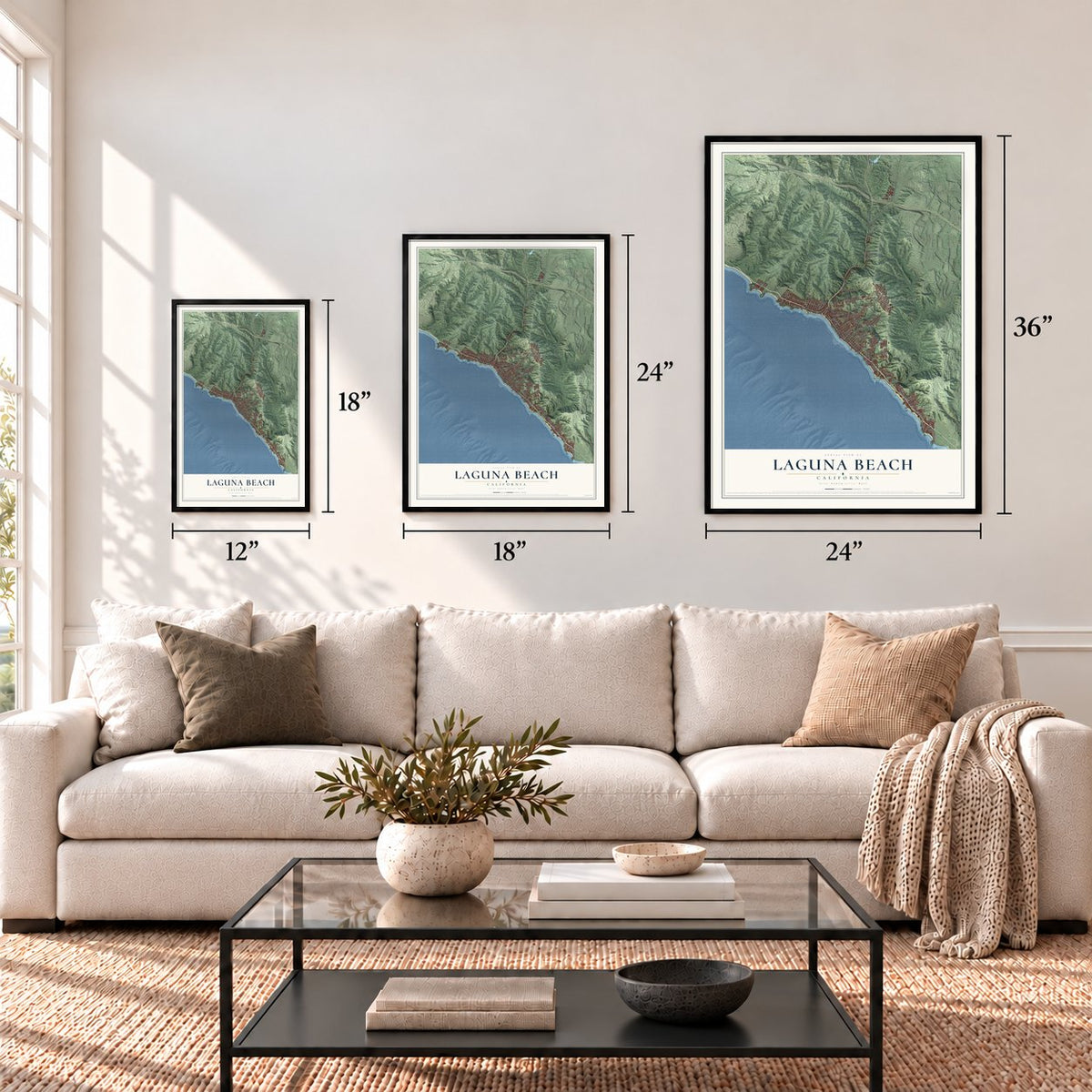

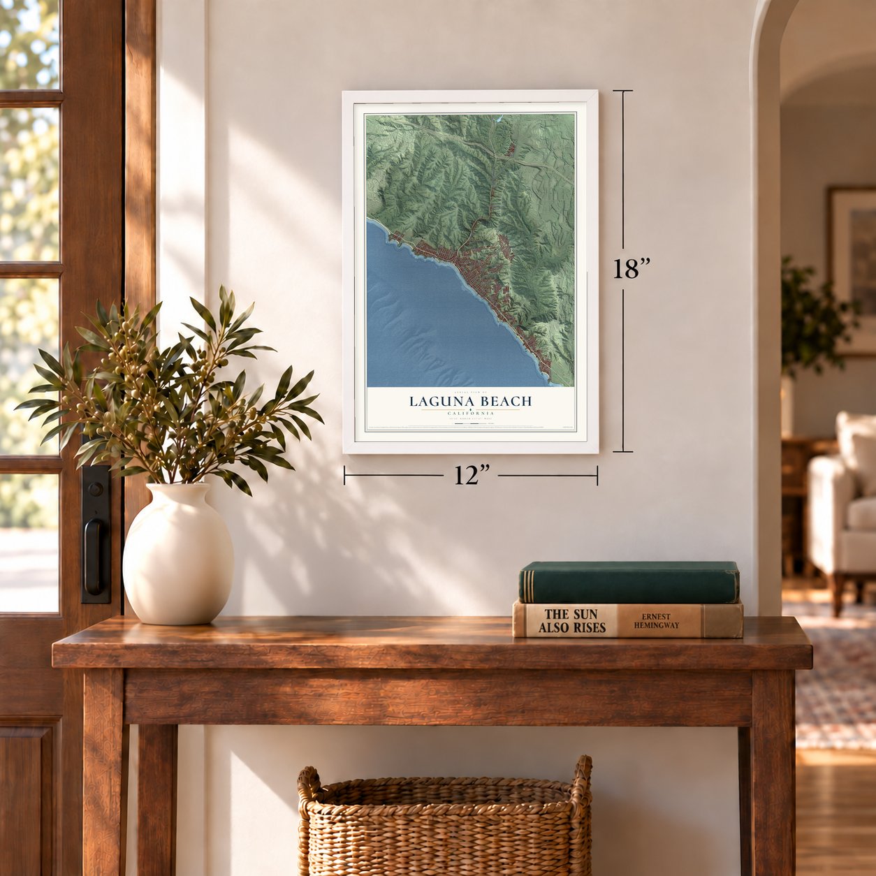

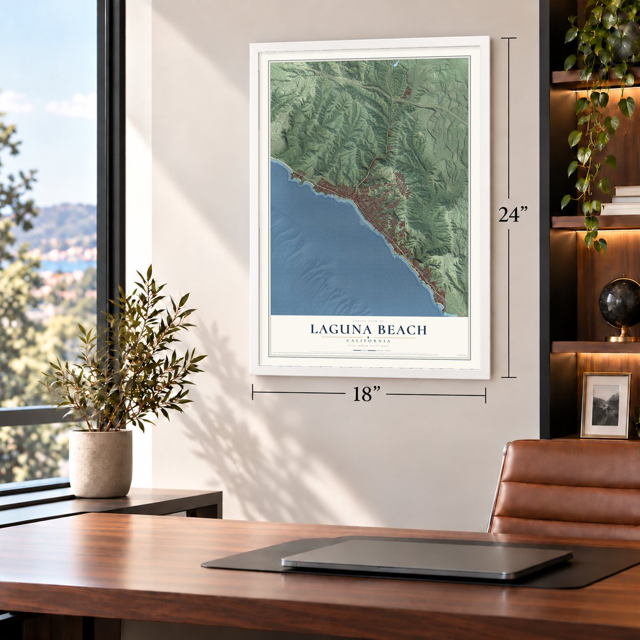

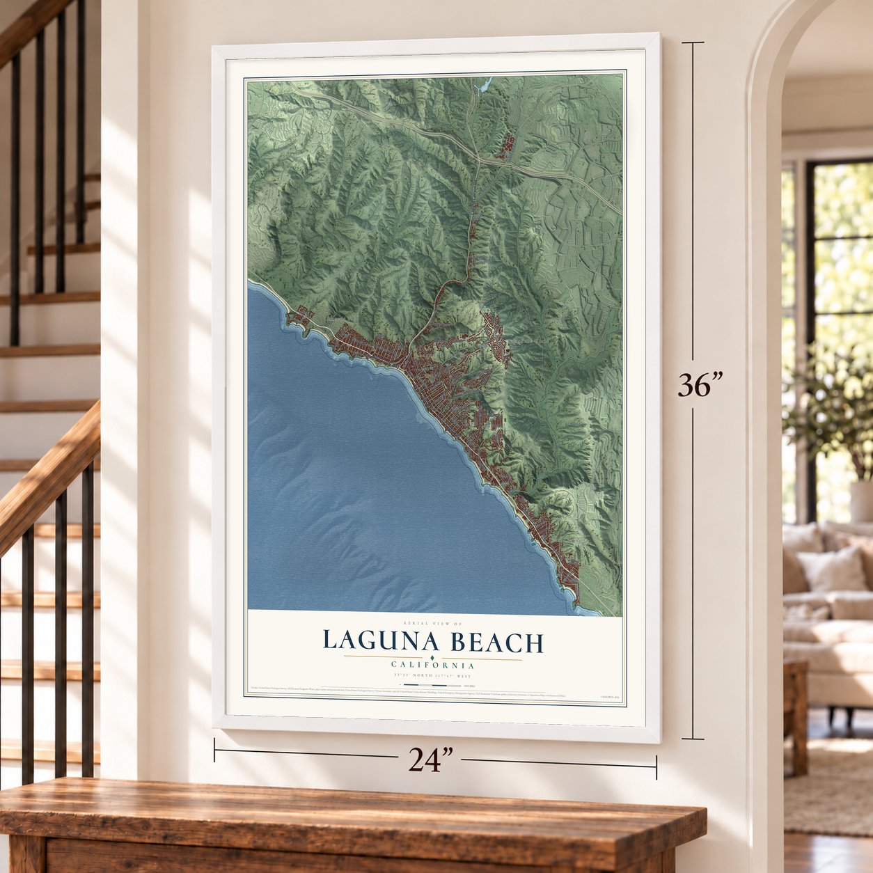

Free U.S. delivery 7 to 10 days after you order
Laguna Beach, California Map Art
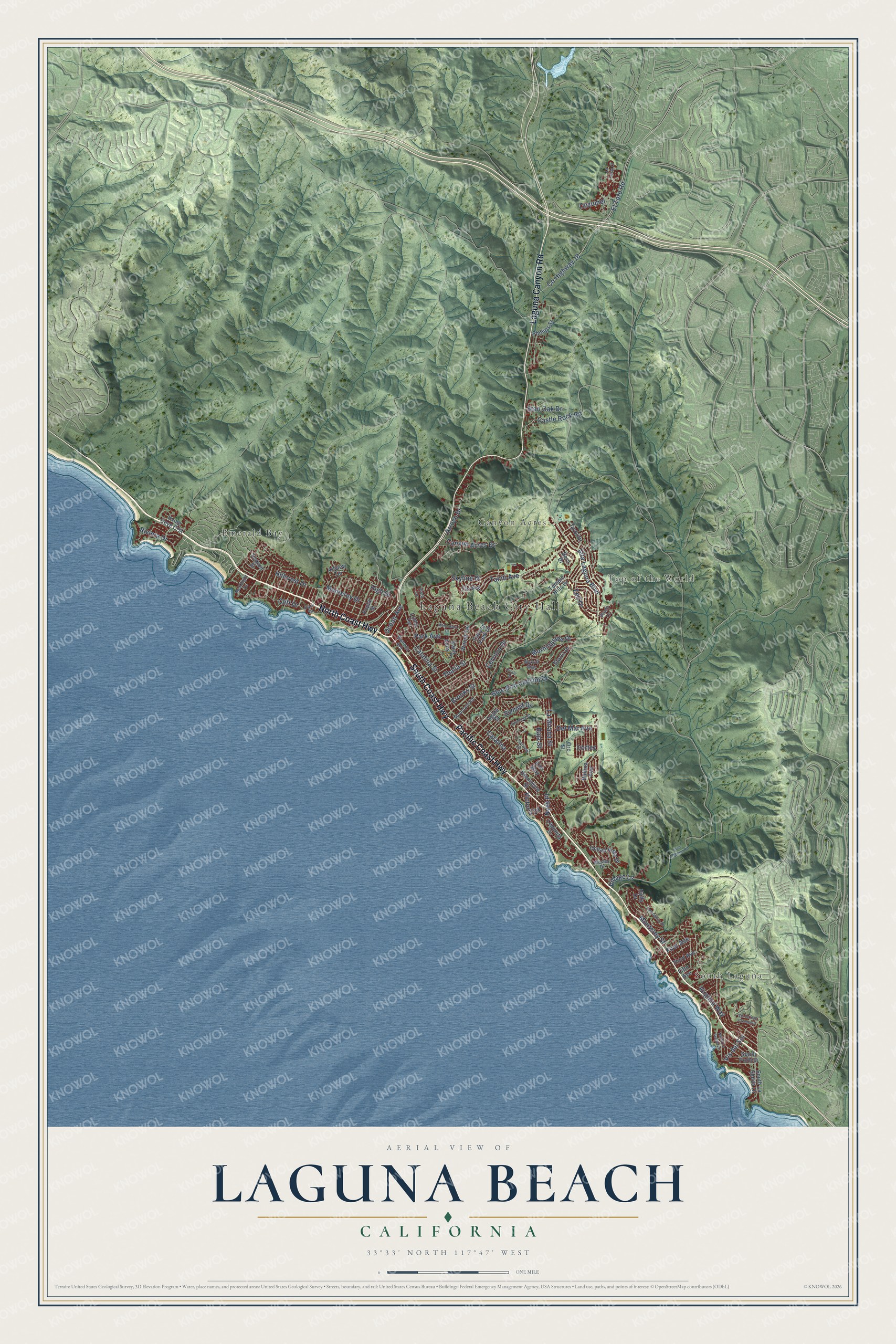
A new map of Laguna Beach, California, made in 2026 and printed to order on thick archival matte paper.
12" x 18" Archival Matte Print
A Map of Home. A Work of Art.
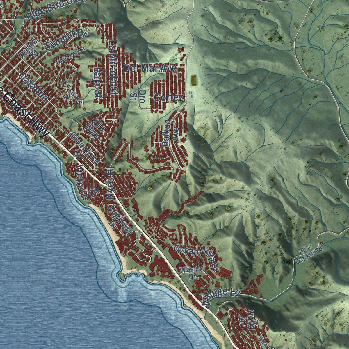
Explore Laguna Beach, California from a whole new perspective. Created using aerial imagery and detailed geographic data, this map captures Laguna Beach building by building, with labeled streets, familiar landmarks, and shaded topographical relief that highlights the natural contours of the landscape.
Combining modern data with the timeless character of a vintage atlas, this map is just as interesting up close as it is beautiful on the wall. Whether you grew up in Laguna Beach, spent memorable years there, or call it home today, this unique map is a great way to celebrate a place that means something to you. Zoom in on the preview to look for your street, and then order a print to put your memories on the wall.
Three ways to hang it
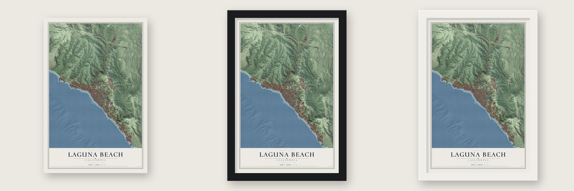
Unframed archival matte, a black wood frame or a white wood frame.
Up close
Geography Worth Displaying
This map was created using accurate cartographic data and authoritative geographic sources, including the U.S. Geological Survey and the Census Bureau. The map brings together terrain, waterways, roads, and building detail. The majority of the streets are labeled, houses are accurately depicted, and the topography is derived from government sources. Combining local data with carefully composed color and shading leads to this beautifully detailed Laguna Beach artwork for your wall.
Rather than simply showing street outlines, we’ve included as many of the street names as we could reasonably fit on the map while keeping their names legible. Zoom in on the high resolution preview to see exactly what’s on the map. We truly set out to create a statement piece for anyone who loves Laguna Beach. So whether it’s for you, or a gift for someone you love, we hope this map of Laguna Beach brings back fond memories.
Read the story behind this map of Laguna Beach, California from 2026.

About Laguna Beach, California
Laguna Beach is a city of 23,032 people in Orange County, on the Pacific coast. Most of its shoreline was never part of a Mexican land grant, so homesteaders could claim it after the Civil War. The Thurston family from Utah settled 152 acres in Aliso Creek Canyon in 1871. In 1876 the brothers William and Nate Brooks bought land in Bluebird Canyon, split it into lots and started the village of Arch Beach. A post office opened in 1887 under the misspelled name Lagona, and in 1904 postmaster Nicholas Isch had it changed to Laguna Beach.
Plein-air painters came in the early 1900s for the coves and hills, and photographers, writers and film crews soon followed. In 1920 the town had only about 300 people, and the winding road through Laguna Canyon was the one way in. When the Pacific Coast Highway opened in 1926, residents who called themselves "Lagunatics" feared a rush of new building and pushed to incorporate so they could protect their art colony. Laguna Beach became a city on June 29, 1927, with 1,900 residents, and it passed 10,000 by 1962.
“as a child of that deathless search, particularly by persons who devote their lives to painting or writing, or for some place where beauty and cheapness and a trifle of remoteness hobnob together in a delightful companionship.”
- Laguna Woman, found in 1933Workers building on St. Ann's Drive in 1933 dug up a fossil skull, the first from a paleoindian ever found in California. Scientists first dated "Laguna Woman" to more than 17,000 years ago, but later tests put her age nearer 11,700 years.
- Painters, then a pageantWilliam Wendt, Frank Cuprien and Edgar Payne were among the painters who settled here and formed the Laguna Beach Art Association. The town's first gallery opened in 1918 and grew into today's Laguna Art Museum. Summer art shows began in 1921, and in 1936 Roy Ropp shaped them into the Pageant of the Masters and the Festival of Arts held today, with real people posing as famous artworks. The Sawdust Art Festival started in 1965 as the counterculture's answer.
- Silent films at the covesStarting in 1913, filmmakers shot dozens of silent movies in Laguna's coves, with stars such as Harold Lloyd, Mary Pickford and Douglas Fairbanks Jr. During long shoots, actors and crews lodged at the Arch Beach Tavern on the hill above Moss Street.
- California's first openly gay mayorLaguna Beach voters elected Robert F. Gentry in 1982. He was Southern California's first openly gay elected official and became California's first openly gay mayor.
Find your street
Names on the Laguna Beach map
Every name below is printed on this map. Look for your street, your school, the park where you played, or the pond down the road.
Places and landmarks5
- Laguna Beach City Hall
- South Laguna
- Top of the World
- Canyon Acres
- Emerald Bay
Streets and roads84
- Pacific Coast Highway
- South Coast Highway
- North Coast Highway
- Laguna Canyon Road
- Catalina
- Park Avenue
- County Highway 18
- El Toro Road
- Blue Bird Canyon Drive
- Cliff Drive
- Skyline Drive
- Castle Rock Road
- Catalina Street
- High Drive
- Vis del Sol
- Morningside Drive
- Alta Laguna Boulevard
- Nyes Place
- Brooks Street
- Monterey Street
- Hillcrest Drive
- Summit Drive
- Virginia Way
- Del Mar Avenue
- Thalia Street
- Arroyo Drive
- Canyon Acres Drive
- Monterey Drive
- La Mirada Street
- Cerritos Drive
Show all 84 streets
- Zell Drive
- Tahiti Avenue
- Riviera Drive
- Stan Oak Drive
- Victoria Drive
- Cortez
- Ocean Avenue
- Cozumel
- First Avenue
- Baja Street
- Village Lane
- Temple Hills Drive
- Glenneyre Street
- Balboa Avenue
- South La Senda Drive
- Canyon View Drive
- Lagunita Drive
- Holly Drive
- Agate Street
- Saint Anns Drive
- Poplar Street
- Allview Terrace
- Bern Drive
- Ocean Vista Drive
- Wendt Terrace
- Third Avenue
- Ledroit Street
- Phillips Street
- South Portola
- Tyrol Drive
- Loma Terrace
- Coral Drive
- Irvine Cove Crst
- Starlit Drive
- Oro Street
- Fifth Avenue
- Kilo Way
- Wykoff Way
- Ramona Avenue
- Mountain Road
- Vista Lane
- Wesley Drive
- McKnight Drive
- Shady Lane
- Park Drive
- Diamond Street
- Crestview Drive
- Ceanothus Drive
- North La Senda Drive
- Aliso Canyon Road
- Manzanita Drive
- Oriole Drive
- La Costa Court
- Vis de San Clemente
Names are listed as they appear on the printed map. Zoom into the product photos to find them.
The art of mapping a place
How This Map Was Made
Real places. Remarkable detail. Discover the layers that turn geographic data into a map of home.

The view from above
Aerial imagery reveals the character of the land: woodland, open fields, and the patterns of a place.

The shape of the land
Elevation data brings hills, valleys, and subtle changes in the landscape into view.

The details of home
Roads, waterways, and building footprints come together to make the map feel unmistakably local.

Geography becomes art
Considered color, shading, and typography bring the layers together in a map made for your wall.


Process illustrated with Mendon, Massachusetts. Aerial imagery: USDA NAIP. Terrain: USGS 3D Elevation Program. Map details and finished artwork: KNOWOL.
The Details
About This Print
Choose an archival matte print, or a black or white Ayous wood frame. The archival matte print is unframed.
Select your size and finish above to see the matching product image and price.
Materials & Craftsmanship
A contemporary map with the character of a classic atlas, printed on archival matte paper. Optional frames are made from Ayous wood.
Your printed map does not include the watermark shown in the full-map preview.
Shipping & Delivery
Free shipping within the United States. Every print is made to order in the USA.
Buying a gift? Add a note in your cart and we'll include it. We never put prices in the package.
Prints ship within 2 to 3 business days. Allow 7 to 10 days total from ordering for delivery. Timing may vary during holidays or periods of high order volume.
Read our shipping policy.
Returns and damaged prints
Each print is made to order. Change-of-mind refunds are not available after production.
If your print arrives damaged, misprinted or incorrect, contact support@knowol.com within 30 days of receiving it. Include your order number, photos and a description of the issue.
Read our full refund and replacement policy. For questions about your order, email support@knowol.com.
Find your town
Looking for another city?
Find a map of home in our California collection, or any town in the country.
Nearby
Maps of towns near Laguna Beach
Know someone from one of these towns? Their map makes a great gift.
 Aliso Viejo
, California
From $39.99See the map
 Laguna Niguel
, California
From $39.99See the map
 Laguna Hills
, California
From $39.99See the map
More maps nearby: Laguna Woods, Dana Point, San Juan Capistrano, Ladera Ranch and Mission Viejo.