
Search for another town



Free U.S. delivery 7 to 10 days after you order
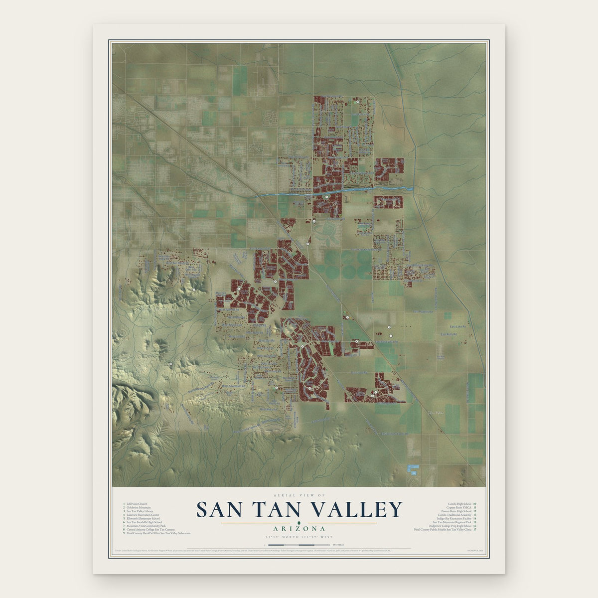
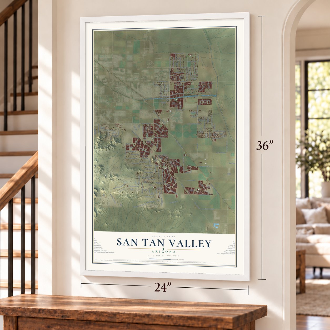
San Tan Valley, Arizona Map Art
Building by building, with labeled streets and shaded relief.
12" x 18" Archival Matte Print
A Map of Home. A Work of Art.
Explore San Tan Valley, Arizona from a whole new perspective. Created using aerial imagery and detailed geographic data, this map captures San Tan Valley building by building, with labeled streets, familiar landmarks, and shaded topographical relief that highlights the natural contours of the landscape.
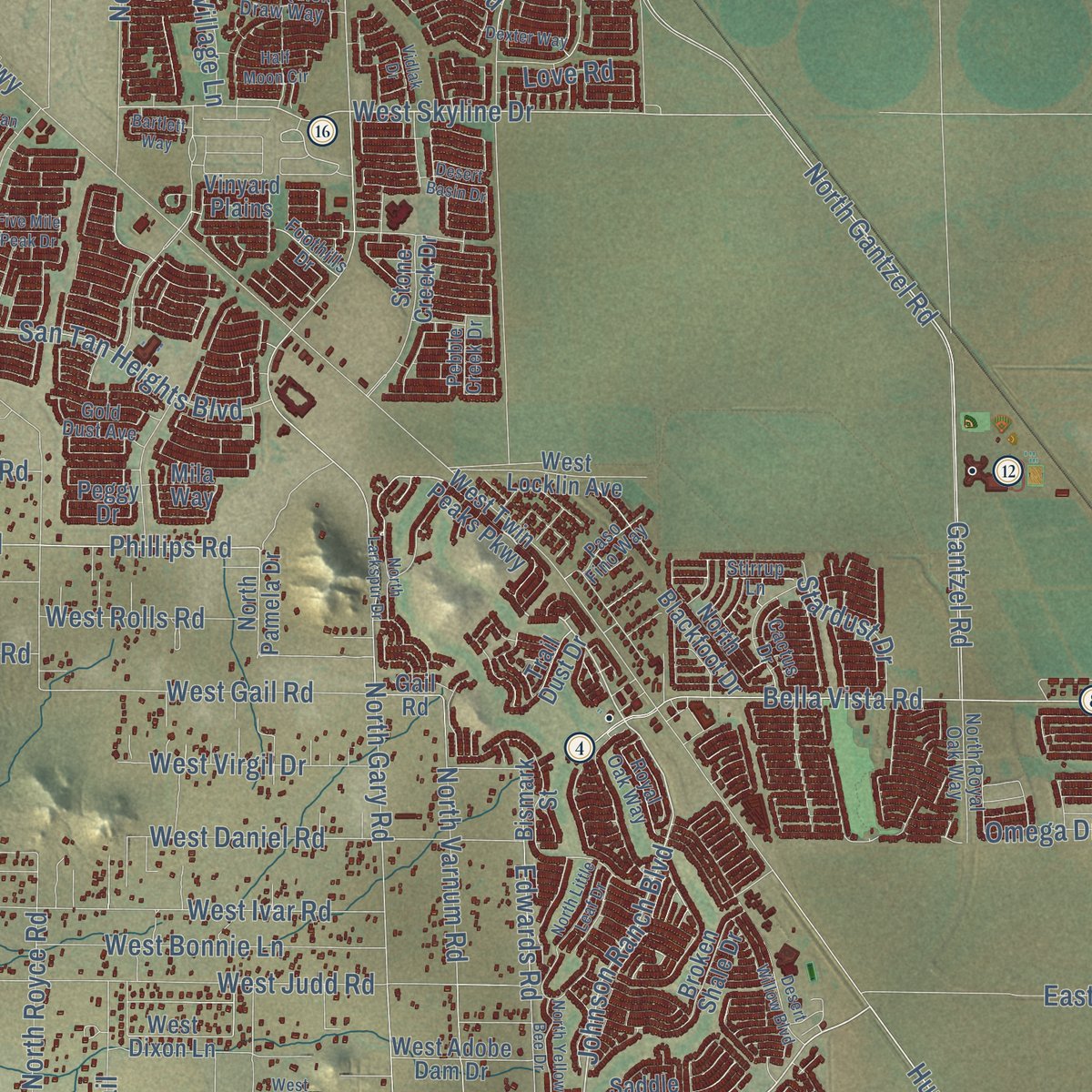
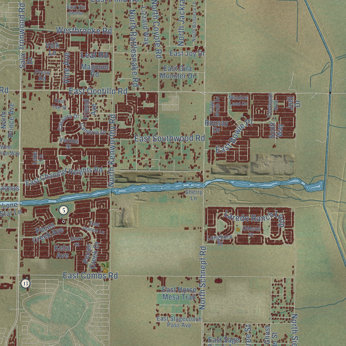
Combining modern data with the timeless character of a vintage atlas, this map is just as interesting up close as it is beautiful on the wall. Whether you grew up in San Tan Valley, spent memorable years there, or call it home today, this unique map is a great way to celebrate a place that means something to you. Zoom in on the preview to look for your street, and then order a print to put your memories on the wall.

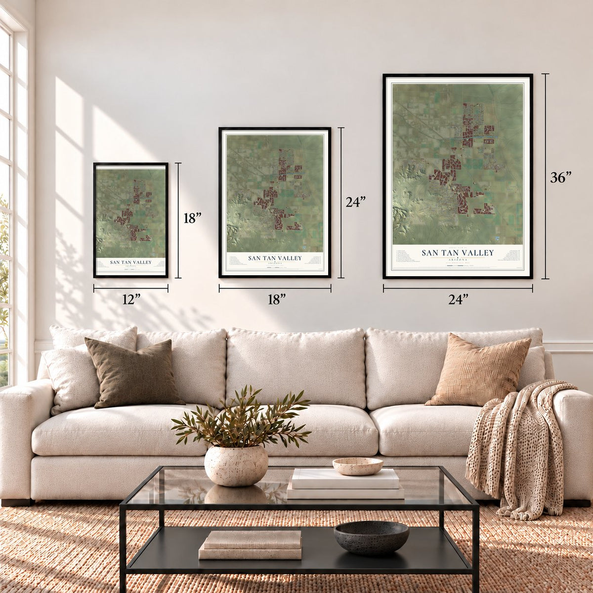
Three ways to hang it
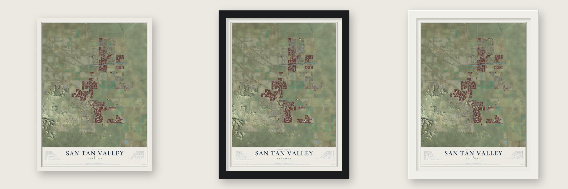
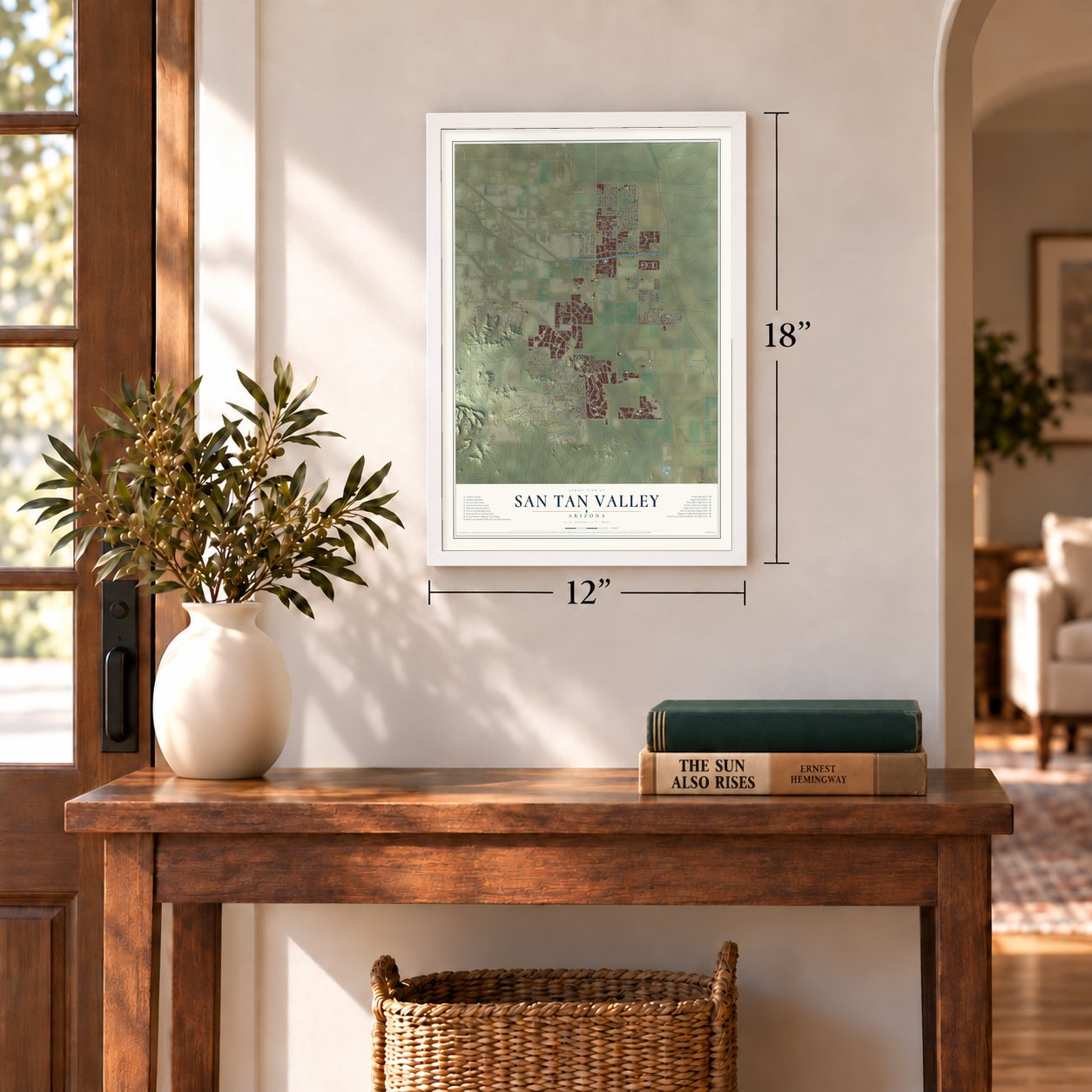
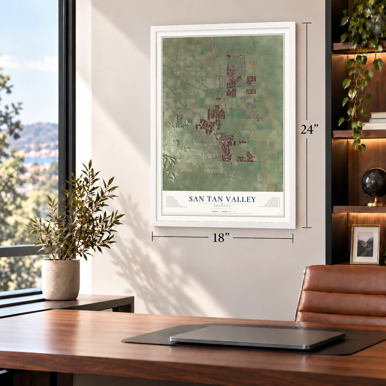
Unframed archival matte, a black wood frame or a white wood frame.
Up close
Geography Worth Displaying
This map was created using accurate cartographic data and authoritative geographic sources, including the U.S. Geological Survey (USGS) and FEMA. The map brings together terrain, waterways, roads, and building detail. The majority of the streets are labeled, houses are accurately depicted, and the topography is derived from government sources. Combining local data with carefully composed color and shading leads to this beautifully detailed San Tan Valley artwork for your wall.
Rather than simply showing street outlines, we’ve included as many of the street names as we could reasonably fit on the map while keeping their names legible. Zoom in on the high resolution preview to see exactly what’s on the map. We truly set out to create a statement piece for anyone who loves San Tan Valley. So whether it’s for you, or a gift for someone you love, we hope this map of San Tan Valley brings back fond memories.
Explore the full map of San Tan Valley, Arizona and read about the local places it shows.

Find your street
Names on the San Tan Valley map
Every name below is printed on this map. Look for your street, your school, the park where you played, or the pond down the road.
Places and landmarks2
- Magma
- San Tan Mountain Regional Park
Streets and roads216
- North Gantzel Road
- North Sierra Vista Drive
- East Ocotillo Road
- Johnson Ranch Boulevard
- Gantzel Road
- Ironwood Road
- Empire Road
- Empire Boulevard
- East Pima Road
- Hunt Highway
- West Ocotillo Road
- East Rolling Ridge Road
- West Phillips Road
- Maravillia Drive
- Gary Road
- East Bella Vista Road
- West Skyline Drive
- East Empire Boulevard
- North Quail Run Lane
- North Gary Road
- North Ironwood Road
- Schnepf Road
- North Friend Avenue
- Pamela Drive
- North Schnepf Road
- North Road
- North Drifter Pass Road
- North Ritten House Road
- North Kenworthy Road
- West Hunt Highway
Show all 216 streets
- East Hunt Highway
- North Brenner Pass Road
- East Skyline Drive
- West Judd Road
- East Judd Road
- East Combs Road
- North Attaway Road
- East Magma Road
- North Coyote Road
- East Hash Knife Draw Road
- West Silverdale Road
- East Arizona Farms Road
- North Royce Road
- West Sun Dance Drive
- East Ranch Road
- East Germann Road
- Village Lane
- North Thompson Road
- North Jackrabbit Road
- Laredo Ranch Loop
- San Tan Heights Boulevard
- East Olberg Road
- West Rolls Road
- West Olberg Road
- Edwards Road
- North Varnum Road
- East Rolls Road
- Bella Vista Road
- West Ivar Road
- Varnum Road
- West Gail Road
- West Daniel Road
- East Roberts Road
- North Rattlesnake Road
- West Bonnie Lane
- West Lind Road
- North Bryce Trail
- West Virgil Drive
- East Bowie Place
- Stardust Drive
- East Lake Road
- West Arizona Farms Road
- North Kennedy Drive
- West Roberts Road
- West Rhea Road
- East Southwood Road
- North Hanging Tree Street
- North Taylor Street
- West Allen Road
- Westbrooke Road
- North Bell Road
- Prospector Lane
- Brahman Boulevard
- Phillips Road
- North Murphy Avenue
- North Donnaloy Road
- Indigo Sky Boulevard
- North Kelly Drive
- Love Road
- Omega Drive
- Vine Avenue
- Leaf Road
- West Twin Peaks Parkway
- East Main Street
- Copper Mine Road
- East Pony Track Lane
- West Magma Road
- West Via de Palmas
- East Chandler Heights Road
- North Suburban Avenue
- North Ghost Rider Street
- East Red Bird Lane
- Bismark Street
- North Cam Largo
- East Sage Brush Avenue
- East Joy Drive
- North Whitewing Boulevard
- Stone Creek Drive
- North Prince Avenue
- West Moon Dust Trail
- West Dove Roost Road
- Rousay Drive
- Pecan Creek Avenue
- East Vis Grande
- West Quail Trail
- West Red Fern Road
- North Wagon Wheel Road
- Saddle Way
- North Wild Horse Drive
- Broken Shale Drive
- Kelsi Avenue
- West Locklin Avenue
- North Pamela Drive
- East Horse Mesa Trail
- East Triple Crown Drive
- Josiah Trail
- West Lenora Way
- Mountain Vista Boulevard
- North Blackfoot Drive
- West Thunder Cloud Drive
- Lizzard Way
- Pecan Creek Drive
- East Gila Monster Drive
- North Tombstone Street
- North Jackpot Road
- West Adobe Dam Drive
- Friend Avenue
- Magnum Road
- Mila Way
- West Dixon Lane
- Trail Dust Drive
- Salix Drive
- Vinyard Plains
- Jodi Drive
- Scott Way
- North Zinc Drive
- Trica Road
- Peggy Drive
- Lone Star Lane
- Gail Road
- Volk Lane
- Stirrup Lane
- East Copper Mine Road
- Royal Oak Way
- West Quick Draw Way
- North Bandolier Drive
- Charbray Drive
- East Stagecoach Pass Avenue
- North Royal Oak Way
- Cambria Drive
- North Peace Pipe Place
- Longhorn Street
- West Josiah Trail
- North Marchant Trce
- North Grande Valley Boulevard
- Foothills Drive
- North Terrace View Avenue
- Cassara Drive
- Vernoa Street
- Pebble Creek Drive
- Cactus Drive
- Gold Dust Avenue
- Paso Fino Way
- Press Road
- Luke Lane
- Dustin Avenue
- Holly Road
- North Ellen Place
- Mirage Court
- Sherry Lane
- North Donovan Drive
- Quartz Drive
- North Larkspur Drive
- Five Mile Peak Drive
- Meridian Road
- North Painted Desert Drive
- Meadow Land Drive
- Castlegate Boulevard
- West Marilyn Way
- North Valley View Road
- Vidlak Drive
- West Butterfield Trail
- Dexter Way
- North Yellow Bee Drive
- Desert Willow Boulevard
- West Adobe Dam Road
- North Little Leaf Drive
- Tourmaline Drive
- North Bonanza Lane
- East Jeanne Lane
- Morgan Lane
- Odessa Drive
- Half Moon Circle
- Cape Wrath Drive
- West Maggie Drive
- West Dixie Road
- Quick Draw Lane
- Bartlett Way
- East Wild Turkey Drive
- West Alexis Lane
- Cresent Road
- Desert Basin Drive
- East Via Sicilia
- Canyon Trail
- East Tee Street
- Shari Street
Names are listed as they appear on the printed map. Zoom into the product photos to find them.
About San Tan Valley, Arizona
San Tan Valley is a town of 99,894 people in Pinal County, set between Florence to the south and Queen Creek to the north and west. Until about 2000 the land was mostly desert and farms. Then planned neighborhoods such as Johnson Ranch and San Tan Heights filled it with houses, but the area had no official name. Residents used Queen Creek mailing addresses, even though that town lies mostly in Maricopa County.
With a new ZIP code coming on July 1, 2009, the Postal Service needed a name for the area. Some residents disliked the first proposal, Bella Vista. Residents cast a non-binding vote on June 23 organized by the Greater San Tan Area Coalition, and a poll ordered by County Supervisor Bryan Martyn chose San Tan Valley, for the mountains to the west. Voters approved becoming a town on August 5, 2025, and the county declared the town on September 17, 2025.
- A long road to a townThe first push to incorporate, in 2004, would have named the place simply San Tan. Florence blocked it after its rural residents worried the area would grow too urban too fast. A 2005 attempt went nowhere, and in 2010 the Florence Town Council voted unanimously against the proposed boundaries over how state shared revenue would be split. Residents filed a new petition in 2025, and that one succeeded.
- The Old Man of the MountainIn 1948 two prospectors, Mansel Carter of Ohio and Marion Kennedy, who was American Indian and came from Oklahoma, settled in a cave at the foot of Goldmine Mountain, west of town. They later built a shanty beside it and filed 55 claims for copper, silver, turquoise and gold. Kennedy died in 1960. Carter stayed on, carving figures out of wood and the skeletons of cactus, and the nickname Old Man of the Mountain stuck to him.
- Hohokam fields, 1100 to 1450Long before the subdivisions, the Hohokam farmed the San Tan Mountains between about 1100 and 1450, most likely raising agave, yucca and cholla. Their rockpile fields survive in San Tan Mountain Regional Park, which opened in 1986 and now covers more than 10,000 acres.
- Laptops, not textbooksStudents first walked into Poston Butte High School on July 20, 2009, the same summer the area got its name, and each of them received a laptop instead of textbooks. Its first class of 253 seniors graduated on May 30, 2012.
Keep exploring Arizona
San Tan Valley is one of 525 Arizona towns we've mapped. Every dot on the map is a print of its own.
The search covers every state, Arizona first.
Near San Tan Valley
Order 2 or more town maps and save 10%. Shown in the size and finish you picked above, so they hang as a set.
- Queen Creek 12" x 18" / Archival Matte Print $39.99
- Blackwater 12" x 18" / Archival Matte Print $39.99
- Sacaton Flats Village 12" x 18" / Archival Matte Print $39.99


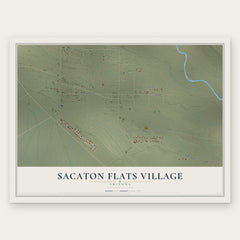
More maps nearby: Upper Santan Village, Florence, Lower Santan Village, Sacaton and Santan.
The art of mapping a place
How This Map Was Made
Real places. Remarkable detail. Discover the layers that turn geographic data into a map of home.

The view from above
Aerial imagery reveals the character of the land: woodland, open fields, and the patterns of a place.

The shape of the land
Elevation data brings hills, valleys, and subtle changes in the landscape into view.

The details of home
Roads, waterways, and building footprints come together to make the map feel unmistakably local.

Geography becomes art
Considered color, shading, and typography bring the layers together in a map made for your wall.


Process illustrated with Mendon, Massachusetts. Aerial imagery: USDA NAIP. Terrain: USGS 3D Elevation Program. Map details and finished artwork: KNOWOL.
The Details
About This Print
Choose an archival matte print, or a black or white Ayous wood frame. The archival matte print is unframed.
Select your size and finish above to see the matching product image and price.
Materials & Craftsmanship
A contemporary map with the character of a classic atlas, printed on archival matte paper. Optional frames are made from Ayous wood.
Your printed map does not include the watermark shown in the full-map preview.
Shipping & Delivery
Free shipping within the United States. Every print is made to order in the USA.
Buying a gift? Add a note in your cart and we'll include it. We never put prices in the package.
Prints ship within 2 to 3 business days. Allow 7 to 10 days total from ordering for delivery. Timing may vary during holidays or periods of high order volume.
Read our shipping policy.
Returns and damaged prints
Each print is made to order. Change-of-mind refunds are not available after production.
If your print arrives damaged, misprinted or incorrect, contact support@knowol.com within 30 days of receiving it. Include your order number, photos and a description of the issue.
Read our full refund and replacement policy. For questions about your order, email support@knowol.com.