
Search for another town




Free U.S. delivery 7 to 10 days after you order
Sanford, North Carolina Map Art
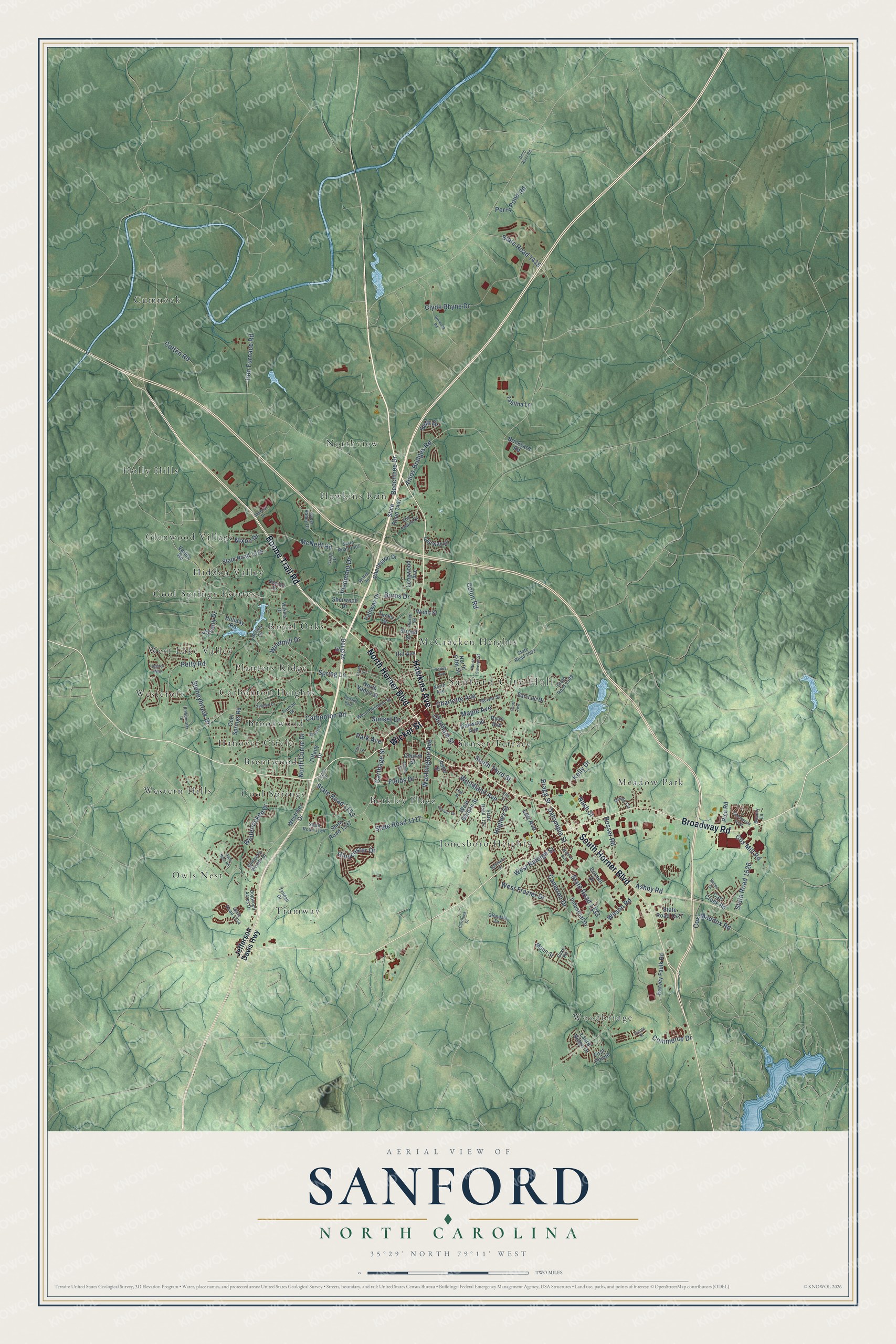
Building by building, with labeled streets and shaded relief.
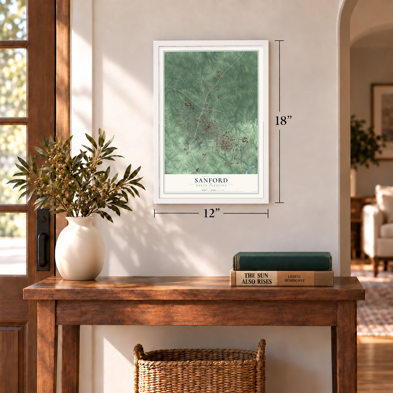
12" x 18" Archival Matte Print
A Map of Home. A Work of Art.
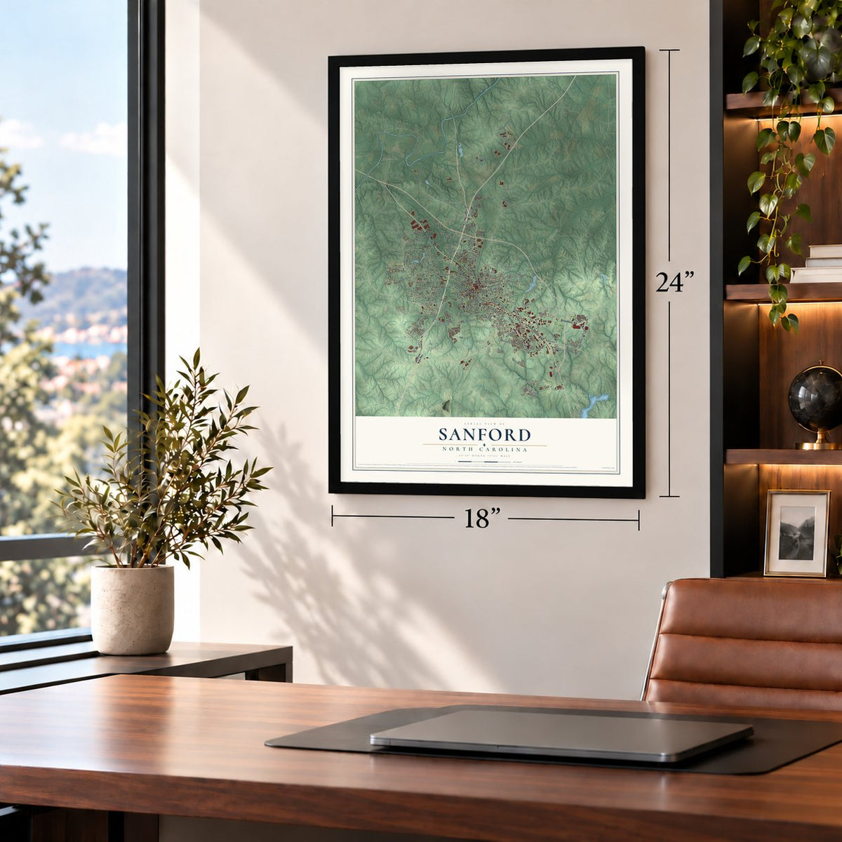
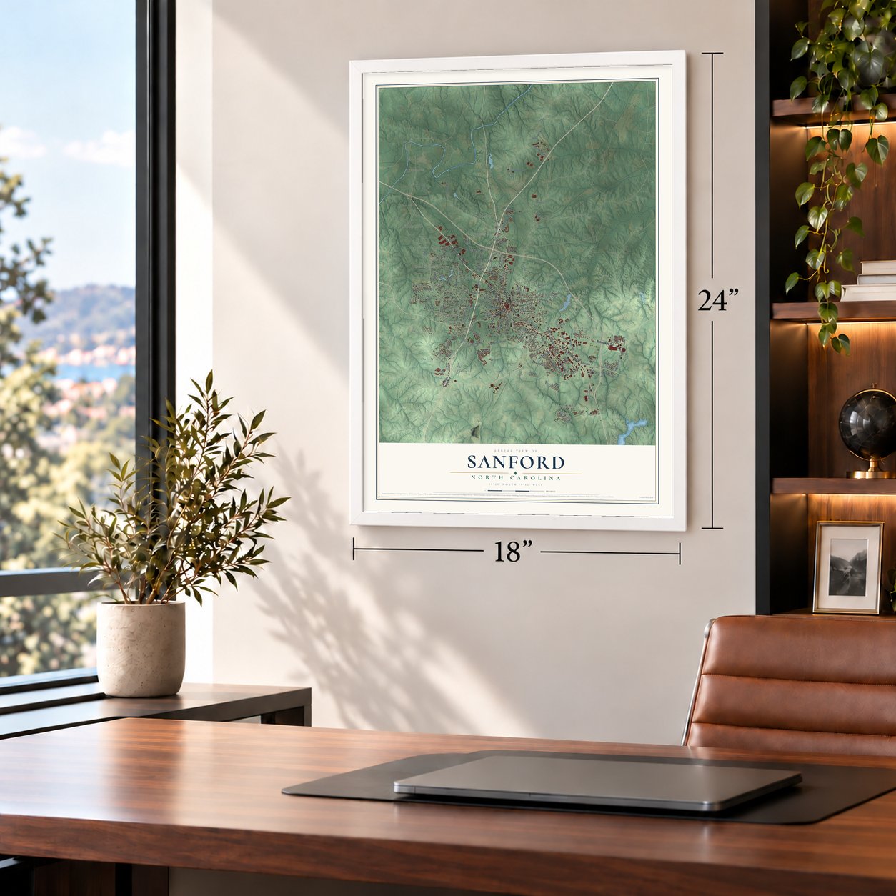
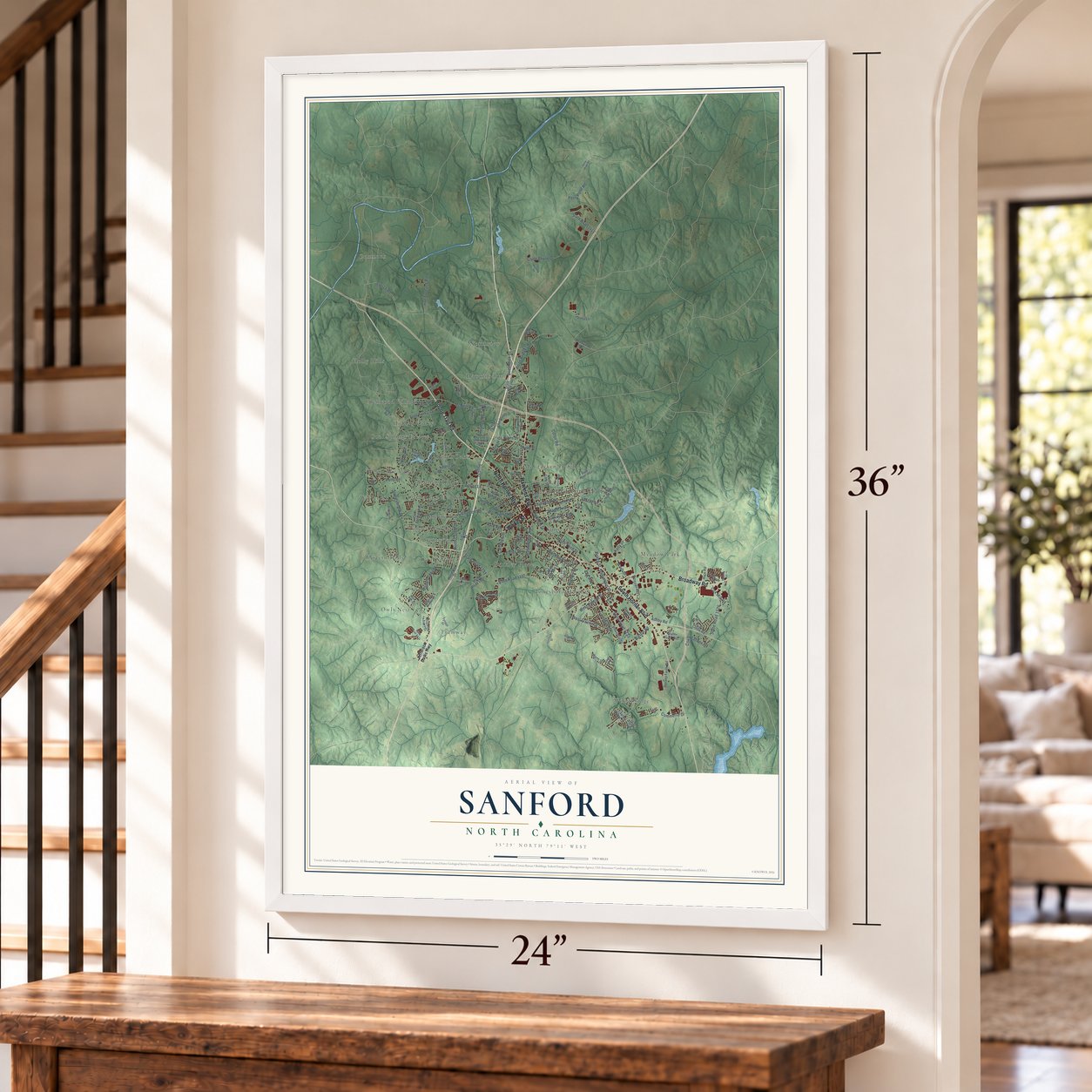
Explore Sanford, North Carolina from a whole new perspective. Created using aerial imagery and detailed geographic data, this map captures Sanford building by building, with labeled streets, familiar landmarks, and shaded topographical relief that highlights the natural contours of the landscape.
Combining modern data with the timeless character of a vintage atlas, this map is just as interesting up close as it is beautiful on the wall. Whether you grew up in Sanford, spent memorable years there, or call it home today, this unique map is a great way to celebrate a place that means something to you. Zoom in on the preview to look for your street, and then order a print to put your memories on the wall.
Three ways to hang it
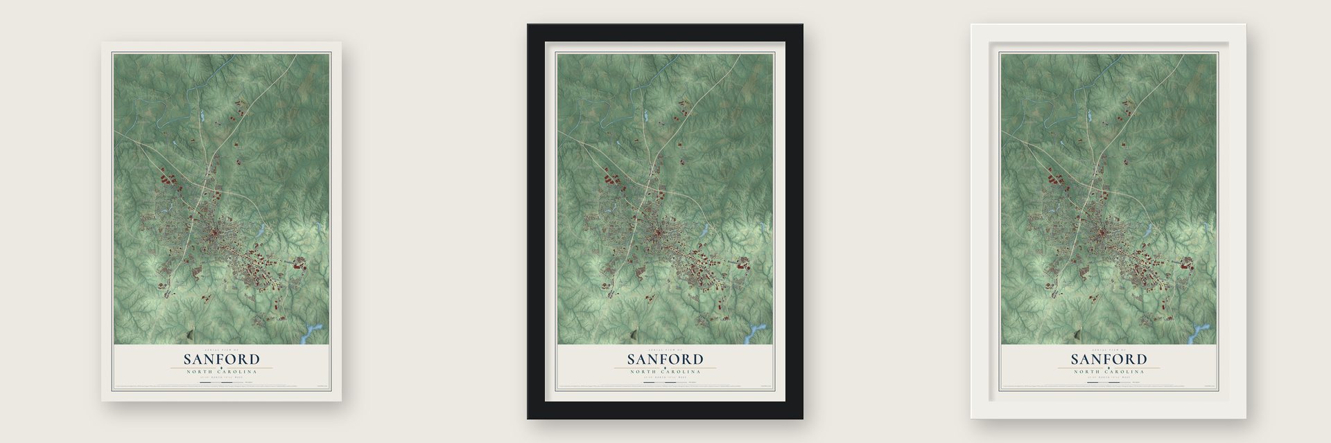
Unframed archival matte, a black wood frame or a white wood frame.
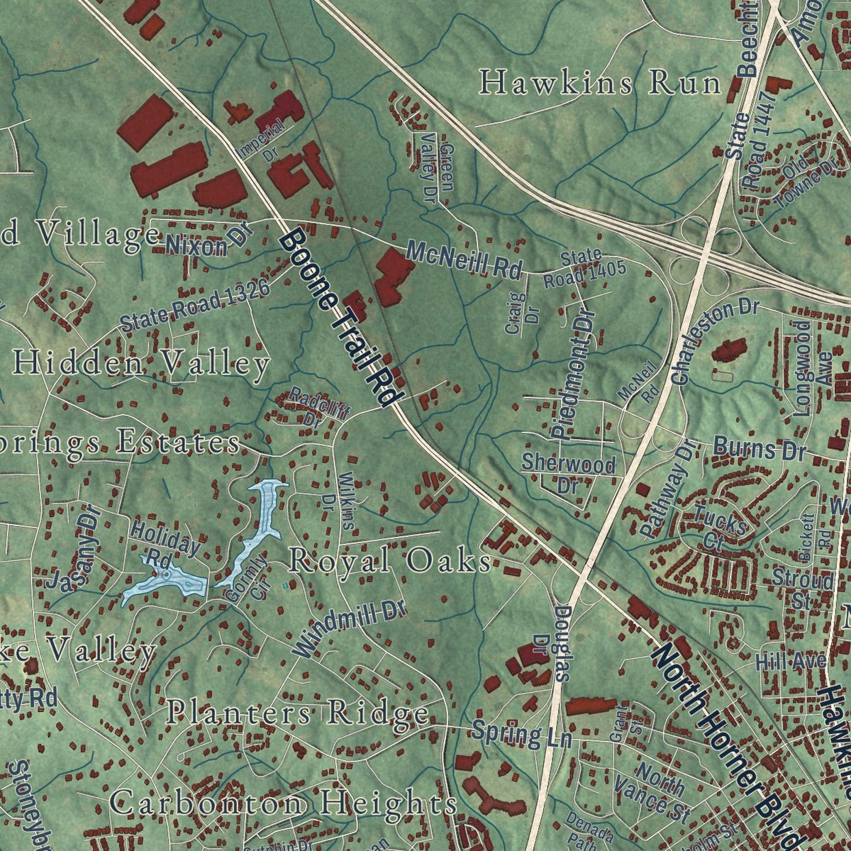
Up close
Geography Worth Displaying
This map was created using accurate cartographic data and authoritative geographic sources, including the U.S. Geological Survey and the Census Bureau. The map brings together terrain, waterways, roads, and building detail. The majority of the streets are labeled, houses are accurately depicted, and the topography is derived from government sources. Combining local data with carefully composed color and shading leads to this beautifully detailed Sanford artwork for your wall.
Rather than simply showing street outlines, we’ve included as many of the street names as we could reasonably fit on the map while keeping their names legible. Zoom in on the high resolution preview to see exactly what’s on the map. We truly set out to create a statement piece for anyone who loves Sanford. So whether it’s for you, or a gift for someone you love, we hope this map of Sanford brings back fond memories.
Read the story behind this map of Sanford, North Carolina from 2026.
Find your street
Names on the Sanford map
Every name below is printed on this map. Look for your street, your school, the park where you played, or the pond down the road.
Places and landmarks26
- Sanford City Hall
- Berkley Place
- Brentwood
- Brookwood
- Carbonton Heights
- Cool Springs
- Cool Springs Estates
- Cumnock
- Glenwood Village
- Hanover Circle
- Hawkins Run
- Hidden Valley
Show all 26 places
- Holly Hills
- Jonesboro Heights
- McCracken Heights
- Meadow Park
- Northview
- Owls Nest
- Planters Ridge
- Royal Oaks
- Sunset Terrace
- Tramway
- West Lake Valley
- Westcroft
- Western Hills
- Woodbridge
Streets and roads145
- Hawkins Avenue
- South Horner Boulevard
- North Horner Boulevard
- Broadway Road
- Boone Trail Road
- Wicker Street
- Lee Avenue
- State Road 1133
- South Third Street
- Charlotte Avenue
- Ashby Road
- State Road 1415
- Carbonton Road
- Spring Lane
- Colon Road
- Bragg Street
- McNeill Road
- Clyde Rhyne Drive
- Woodland Avenue
- Beechtree Drive
- Carthage Street
- Cameron Drive
- Winterlocken Drive
- Amos Bridges Road
- Cox Maddox Road
- Fields Drive
- State Road 1526
- State Road 1117
- Dalrymple Street
- Washington Avenue
Show all 145 streets
- Chatham Street
- West Frazier Drive
- Nash Street
- Petty Road
- Kelly Drive
- Wilson Road
- Gloucester Drive
- Maple Avenue
- North Currie Drive
- West Raleigh Street
- Piedmont Drive
- Cox Mill Road
- Rosser Road
- Burns Drive
- Windmill Drive
- Iron Furnace Road
- Commerce Drive
- State Road 1153
- Stoneybrook Drive
- Sunset Drive
- Perry Pond Road
- Hughes Street
- Park Avenue
- Cotten Road
- Jasany Drive
- Seth Drive
- Nixon Drive
- Jefferson Davis Highway
- Cool Springs Road
- Valley Road
- State Road 1237
- State Road 1447
- Westover Drive
- Charleston Drive
- Industrial Drive
- San Lee Drive
- State Road 1326
- North Vance Street
- Harvey Faulk Road
- West Garden Street
- Oakwood Avenue
- Douglas Drive
- State Road 1527
- North Fifth Street
- Carr Creek Road
- Laurel Ridge Drive
- Hill Avenue
- Longwood Avenue
- Rice Road
- Holiday Road
- Tiffany Drive
- Pathway Drive
- Brickyard Road
- Sherwood Drive
- Fairway Drive
- Tabitha Lane
- Cornell Drive
- Webb Street
- Mann Street
- Stroud Street
- Tucks Court
- Church Street
- Ryan Avenue
- First Pointe
- Ashe Street
- State Road 1122
- Wilkins Drive
- State Road 1405
- State Road 1509
- McIver Street
- North Avenue
- West Chisholm Street
- State Road 1002
- Wimberly Woods Drive
- State Road 1334
- Glendale Drive
- Green Valley Drive
- Gormly Circle
- State Road 1154
- Old Towne Drive
- Truman Drive
- Dogwood Acres Drive
- Tyndall Drive
- Oriole Circle
- Cave Road
- Bounty Lane
- Craig Drive
- Radcliff Drive
- Owls Nest Road
- Sutphin Drive
- Elm Street
- Watson Avenue
- Bristol Way
- Womack Road
- North Seventh Street
- Thornwood Loop
- Legion Drive
- Bridgewater Drive
- Stuart Drive
- Deep River Road
- Renee Drive
- Fitts Street
- McNeil Road
- James Street
- Denada Path
- Juniper Drive
- Sommers Street
- Currituck Drive
- Scott Avenue
- Imperial Drive
- Bickett Road
- Talley Avenue
- Tyvola Street
- Grant Street
- Hall Street
Names are listed as they appear on the printed map. Zoom into the product photos to find them.
About Sanford, North Carolina
Sanford is a city of 30,261 people and the county seat of Lee County. It grew up around the railroad and took its name from C.O. Sanford, the civil engineer who helped build the rail lines through the area. The town was incorporated in 1874 and became a busy center for trains and industry.
Lee County was carved from parts of three neighboring counties in 1907, and Sanford and Jonesboro were its two main towns. Instead of choosing one of them, leaders put the new courthouse halfway between the two. For decades it was the only county courthouse in the country with a rural free delivery address. Sanford kept growing until it merged with Jonesboro in 1947. Jonesboro became Jonesboro Heights, and the combined city kept the Sanford name.
- Brick Capital of the USASanford sits where white beach sand meets Piedmont clay, and that ground is well suited to making clay brick. Brownstone and then brick from the area went to builders all over the country. In 1959 the city turned out 10% of the nation's bricks, which earned it the title Brick Capital of the USA. General Shale and Lee Brick and Tile still make brick here.
- The Sanford SpinnersSanford had a professional minor league baseball team for seven seasons between 1941 and 1950, with a break for the war. The Spinners played Class D ball, first in the Bi-State League and later in the Tobacco State League, with home games at Temple Park. Under manager Zeb Harrington they won the regular-season pennant three times.
Keep exploring North Carolina
Sanford is one of 947 North Carolina towns we've mapped. Every dot on the map is a print of its own.
The search covers every state, North Carolina first.
Near Sanford
Order 2 or more town maps and save 10%. Shown in the size and finish you picked above, so they hang as a set.
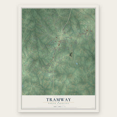
- Tramway 12" x 18" / Archival Matte Print $39.99
- Broadway 12" x 18" / Archival Matte Print $39.99
- Gulf 12" x 18" / Archival Matte Print $39.99


More maps nearby: Goldston, Moncure, Cameron, Barbecue and Mamers.
The art of mapping a place
How This Map Was Made
Real places. Remarkable detail. Discover the layers that turn geographic data into a map of home.

The view from above
Aerial imagery reveals the character of the land: woodland, open fields, and the patterns of a place.

The shape of the land
Elevation data brings hills, valleys, and subtle changes in the landscape into view.

The details of home
Roads, waterways, and building footprints come together to make the map feel unmistakably local.

Geography becomes art
Considered color, shading, and typography bring the layers together in a map made for your wall.


Process illustrated with Mendon, Massachusetts. Aerial imagery: USDA NAIP. Terrain: USGS 3D Elevation Program. Map details and finished artwork: KNOWOL.
The Details
About This Print
Choose an archival matte print, or a black or white Ayous wood frame. The archival matte print is unframed.
Select your size and finish above to see the matching product image and price.
Materials & Craftsmanship
A contemporary map with the character of a classic atlas, printed on archival matte paper. Optional frames are made from Ayous wood.
Your printed map does not include the watermark shown in the full-map preview.
Shipping & Delivery
Free shipping within the United States. Every print is made to order in the USA.
Buying a gift? Add a note in your cart and we'll include it. We never put prices in the package.
Prints ship within 2 to 3 business days. Allow 7 to 10 days total from ordering for delivery. Timing may vary during holidays or periods of high order volume.
Read our shipping policy.
Returns and damaged prints
Each print is made to order. Change-of-mind refunds are not available after production.
If your print arrives damaged, misprinted or incorrect, contact support@knowol.com within 30 days of receiving it. Include your order number, photos and a description of the issue.
Read our full refund and replacement policy. For questions about your order, email support@knowol.com.