
Search for another town

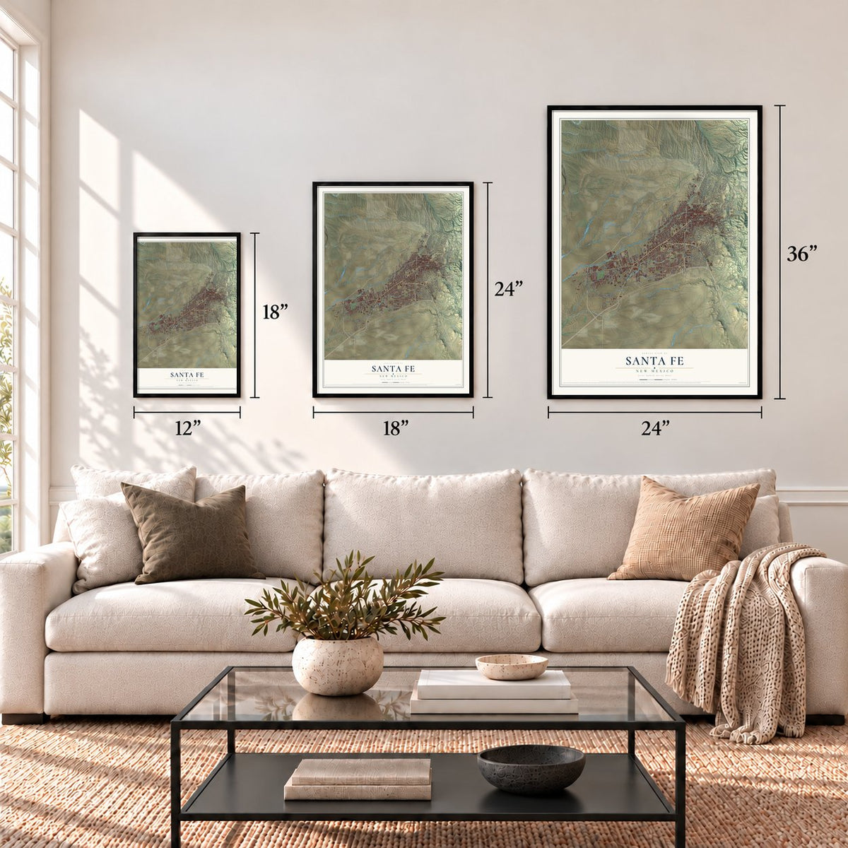

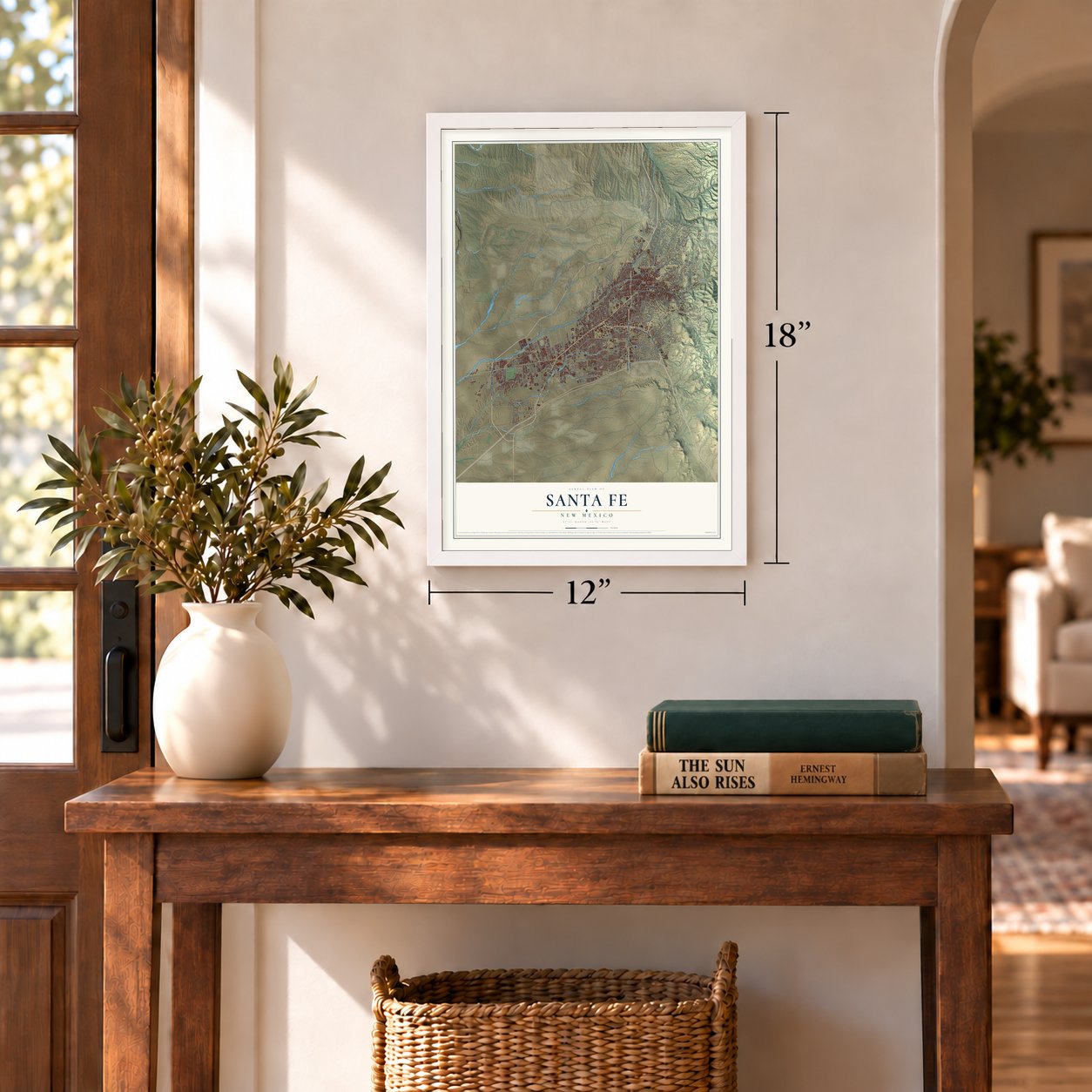

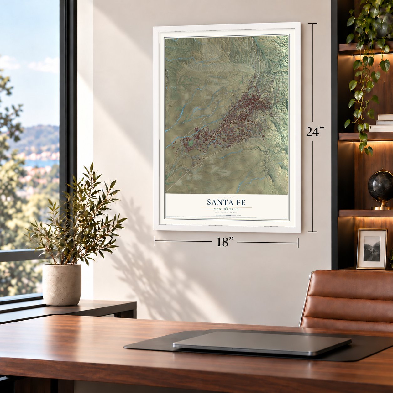


Free U.S. delivery 7 to 10 days after you order
Santa Fe, New Mexico Map Art
A new map of Santa Fe, New Mexico, made in 2026 and printed to order on thick archival matte paper.
12" x 18" Archival Matte Print
A Map of Home. A Work of Art.
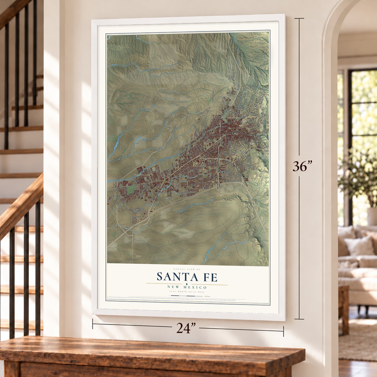
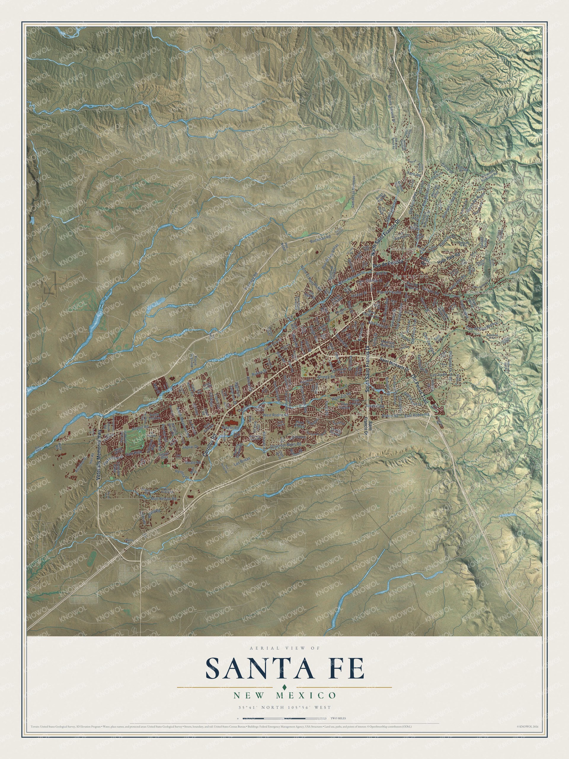
Explore Santa Fe, New Mexico from a whole new perspective. Created using aerial imagery and detailed geographic data, this map captures Santa Fe building by building, with labeled streets, familiar landmarks, and shaded topographical relief that highlights the natural contours of the landscape.
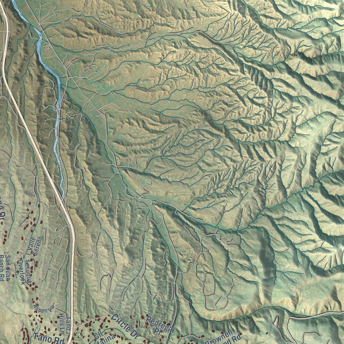
Combining modern data with the timeless character of a vintage atlas, this map is just as interesting up close as it is beautiful on the wall. Whether you grew up in Santa Fe, spent memorable years there, or call it home today, this unique map is a great way to celebrate a place that means something to you. Zoom in on the preview to look for your street, and then order a print to put your memories on the wall.
Three ways to hang it
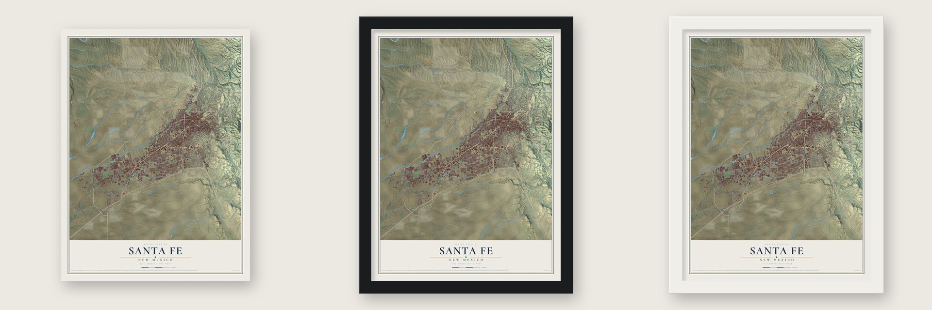
Unframed archival matte, a black wood frame or a white wood frame.
Up close
Geography Worth Displaying
This map was created using accurate cartographic data and authoritative geographic sources, including the U.S. Geological Survey and the Census Bureau. The map brings together terrain, waterways, roads, and building detail. The majority of the streets are labeled, houses are accurately depicted, and the topography is derived from government sources. Combining local data with carefully composed color and shading leads to this beautifully detailed Santa Fe artwork for your wall.
Rather than simply showing street outlines, we’ve included as many of the street names as we could reasonably fit on the map while keeping their names legible. Zoom in on the high resolution preview to see exactly what’s on the map. We truly set out to create a statement piece for anyone who loves Santa Fe. So whether it’s for you, or a gift for someone you love, we hope this map of Santa Fe brings back fond memories.
Read the story behind this map of Santa Fe, New Mexico from 2026.

About Santa Fe, New Mexico
Santa Fe is the capital of New Mexico and the seat of Santa Fe County, a city of 87,505 people below the Sangre de Cristo Mountains. Tewa people built homes around the site of today's Plaza sometime after 900 AD and called their village Ogá Pʼoegeh, or water place. Juan de Oñate brought the first Spanish colonists to the region in 1598. Governor Pedro de Peralta founded a new town here in 1607, and in 1610 he made it the capital of the province.
In 1680 the Pueblo Revolt drove the Spanish south to El Paso, and Pueblo people governed from the Palace of the Governors until Diego de Vargas retook the town in 1692. Mexico took control after it won independence from Spain in 1821, and in the 1820s the Santa Fe Trail opened trade with Missouri. General Stephen W. Kearny marched about 1,700 soldiers into the city in 1846, and the United States gained the land by treaty in 1848. Santa Fe became the territorial capital in 1851 and the state capital in 1912.
“I can hardly imagine how Santa Fe is supported. The country around it is barren. At the North stands a snow-capped mountain while the valley in which the town is situated is drab and sandy.”
- Oldest state capitalSanta Fe has served as the capital almost without a break since 1610, so no state capital in the country is older. At 6,998 feet, it also sits higher than any other U.S. state capital.
- Palace of the GovernorsPueblo leaders ran the province from the Palace of the Governors between 1680 and 1692, after the revolt. The building joined the National Register in 1966.
- Bishop Lamy's cathedralJean Baptiste Lamy came to Santa Fe in 1851. In 1853 he became bishop over New Mexico, Arizona, Utah and Colorado. He built the Saint Francis Cathedral and led the Catholic church in the region until he died in 1888.
- A Confederate flag in 1862General Henry Sibley's Confederate troops held the city for a few days in March 1862. Union soldiers destroyed his supply trains at the Battle of Glorieta Pass, and Sibley had to pull back. In 1870 the federal government opened the Santa Fe National Cemetery to bury the Union dead from that fight.
- First U.S. creative cityIn 2005 Santa Fe became the first city in the United States to join the UNESCO Creative Cities Network. It has more than 250 art galleries and holds the Indian Market, the International Folk Art Market and the Traditional Spanish Colonial Market every year.
Find your street
Names on the Santa Fe map
Every name below is printed on this map. Look for your street, your school, the park where you played, or the pond down the road.
Places and landmarks8
- Downtown
- Cañada Ancha
- Cañada Rincon
- Cerro Gordo
- Sun Mountain
- State Trust Land
- Dale Ball Trails
- La Tierra Trails
Streets and roads256
- Pso de Peralta
- Veterans Memorial Highway
- Cerrillos Road
- South Saint Francis Drive
- Old Pecos Trail
- North Saint Francis Drive
- West Alameda Street
- West Rodeo Road
- Rodeo Road
- Pso de Las Vistas
- East Rodeo Road
- Lopez Lane
- Airport Road
- Bishops Lodge Road
- Circle Drive
- Frontage Road
- Agua Fria Street
- Herrera Drive
- Wagon Road
- Old Santa Fe Trail
- Galisteo Street
- Siringo Road
- Rufina Street
- West Zia Road
- Jaguar Drive
- Governor Miles Road
- Cam Carlos Rey
- South Meadows Road
- Old Taos Highway
- Mutt Nelson Road
Show all 256 streets
- Don Gaspar Avenue
- Buckman Road
- Canyon Road
- Monte Sereno Drive
- Gonzales Road
- Cam de Cruz Blanca
- Sierra del Norte
- Richards Avenue
- Yucca Street
- Cam Rojo
- Alto Street
- Aviation Drive
- Pso del Sol
- Cam Francisca
- Garcia Street
- Botulph Road
- Cll Atajo
- Cam Corrales
- Cam Cabra
- Siler Road
- Sawmill Road
- Fort Union Drive
- Fifth Street
- Pacheco Street
- Alta Vista Street
- Plaza Central
- North El Rancho Road
- Zafarano Drive
- Llano Street
- Vallecita Drive
- Don Diego Avenue
- Pso Barranca
- Fairly Road
- Maez Road
- Osage Avenue
- Luisa Street
- Cll Lorca
- Nizhoni Drive
- Tano Road
- Reata Road
- Hickox Street
- Baca Street
- Dunlap Street
- Second Street
- Las Brisas
- Cll Colibri
- Ocate Road
- Atoca Road
- Lujan Street
- Aggie Lane
- Ash Street
- Cll Inez
- Artist Road
- Saint Michaels Drive
- Hyde Park Road
- Saint Francis Drive
- Cam Entrada
- Pso Nopal
- Cam de Los Montoyas
- Zepol Road
- West San Mateo Road
- Mansion Ridge Road
- Valentine Way
- Contenta Ridge
- Governor Dempsey Drive
- Pso del Sol West
- Cam Lejo
- Cam del Monte Sol
- Alamo Drive
- West Cordova Road
- East Zia Road
- Cll Cacique
- Cam Consuelo
- Calle Nueva Vis
- Cll Largo
- Avenue de Las Campana
- Alamosa Drive
- Brownell Howland Road
- Canada Ancha
- Old Arroyo Chamiso
- Cam Capitan
- Rincon de Torreon
- General Sage Drive
- Dancing Ground Road
- Cll Arco
- Pedregal Place
- Plaza Blanca
- Cam Chueco
- Hart Road
- Otowi Road
- Cliff Palace
- Vuelta Ventura
- Cam la Canada
- Buffalo Grass Road
- Avenue Rincon
- Cll Delfino
- Cll David
- Cll la Resolana
- Valley Drive
- La Joya Road
- Los Arboles Drive
- Cll Estado
- East De Vargas Street
- Cam Alire
- Ridge Top Road
- Cll Vera Cruz
- Spruce Street
- Jay Street
- Clark Road
- Cam Lumbre
- Cll Lejano
- La Vela Road
- Cll Catalina
- Cll Prado
- The High Road
- La Silla Dorada
- Sixth Street
- Prairie Dog Loop
- Oliver Road
- Pla de Vida
- Ojos de Jo
- Jaguar Alley
- Cam Militar
- Huey Road
- Early Street
- Main Street
- Cam Mio
- Cerros Colorados
- Barranca Road
- Piedra Rondo
- Seville Road
- Emblem Road
- Harrison Road
- Montana Verde Road
- Lucia Lane
- Cerro de la Paz
- Ridgeline Road
- Cam de Los Arroyos
- Hopi Road
- Thunder Ridge
- Montano Street
- Maclovia Street
- Forest Circle
- Foothills Road
- Don Quixote
- Parkway Drive
- Cam Vistas Encantada
- Tano Hills Lane
- Power Line Road
- Lopez Street
- Old Airport Road
- San Felipe Road
- San Juan Ranch Road
- Madrid Road
- Greg Avenue
- Thomas Avenue
- West Prince Road
- Tesuque Overlook
- Taos Street
- Pla de Oro
- Valmora Road
- Borrego Pass
- Loma Entrada
- Abeyta Street
- Webber Street
- Cll Zanate
- Mesa del Oro
- Valle Sereno
- Cll Luna
- Scotts Place
- Cam Rio
- Cam Oraibi
- Sena Street
- Pso Real
- Nix Lane
- Cerro Gordo Road
- East Alameda Street
- Wilderness Gate Road
- Cam San Acacio
- Via Bosque
- Quail Run Drive
- Vo Tech Road
- Big Sky Road
- Encantado Drive
- Via Caballero del Sur
- East Coronado Road
- Morning Drive
- Aspen Loop
- Vis de la Ciudad
- San Ignacio
- Constellation Drive
- Grant Avenue
- Monterey Drive
- Rail Runner Road
- Industrial Road
- Cll de Molina
- Wilderness Arroyo
- East Lupita Road
- Santeros Road
- Aspen Vw
- Murales Road
- Todos Santos Street
- Tatum Lane
- Cll Conejo
- Camino Cielo Vis
- Pso del Rey
- Rodeo Lane
- Monte Verde Place
- La Loma Vis
- Cam de Destino
- Miles Lane
- Chelsea Lane
- Juanita Street
- Atalaya Hill Road
- Nicole Place
- Market Street
- Pso de Andres
- Ilea Way
- James Avenue
- Vis del Sol
- Rafael Street
- Colony Drive
- Arenal Court
- Via Abajo
- Cam Azul
- Fire Place
Names are listed as they appear on the printed map. Zoom into the product photos to find them.
The art of mapping a place
How This Map Was Made
Real places. Remarkable detail. Discover the layers that turn geographic data into a map of home.

The view from above
Aerial imagery reveals the character of the land: woodland, open fields, and the patterns of a place.

The shape of the land
Elevation data brings hills, valleys, and subtle changes in the landscape into view.

The details of home
Roads, waterways, and building footprints come together to make the map feel unmistakably local.

Geography becomes art
Considered color, shading, and typography bring the layers together in a map made for your wall.


Process illustrated with Mendon, Massachusetts. Aerial imagery: USDA NAIP. Terrain: USGS 3D Elevation Program. Map details and finished artwork: KNOWOL.
The Details
About This Print
Choose an archival matte print, or a black or white Ayous wood frame. The archival matte print is unframed.
Select your size and finish above to see the matching product image and price.
Materials & Craftsmanship
A contemporary map with the character of a classic atlas, printed on archival matte paper. Optional frames are made from Ayous wood.
Your printed map does not include the watermark shown in the full-map preview.
Shipping & Delivery
Free shipping within the United States. Every print is made to order in the USA.
Buying a gift? Add a note in your cart and we'll include it. We never put prices in the package.
Prints ship within 2 to 3 business days. Allow 7 to 10 days total from ordering for delivery. Timing may vary during holidays or periods of high order volume.
Read our shipping policy.
Returns and damaged prints
Each print is made to order. Change-of-mind refunds are not available after production.
If your print arrives damaged, misprinted or incorrect, contact support@knowol.com within 30 days of receiving it. Include your order number, photos and a description of the issue.
Read our full refund and replacement policy. For questions about your order, email support@knowol.com.
Find your town
Looking for another city?
Find a map of home in our New Mexico collection, or any town in the country.
Nearby
Maps of towns near Santa Fe
Know someone from one of these towns? Their map makes a great gift.
 Agua Fria
, New Mexico
From $39.99See the map
 Conejo
, New Mexico
From $39.99See the map
 Tres Arroyos
, New Mexico
From $39.99See the map
More maps nearby: Arroyo Hondo, Seton Village, Tano Road, Santa Fe Foothills and Las Campanas.