
Search for another town




Free U.S. delivery 7 to 10 days after you order
Senatobia, Mississippi Map Art
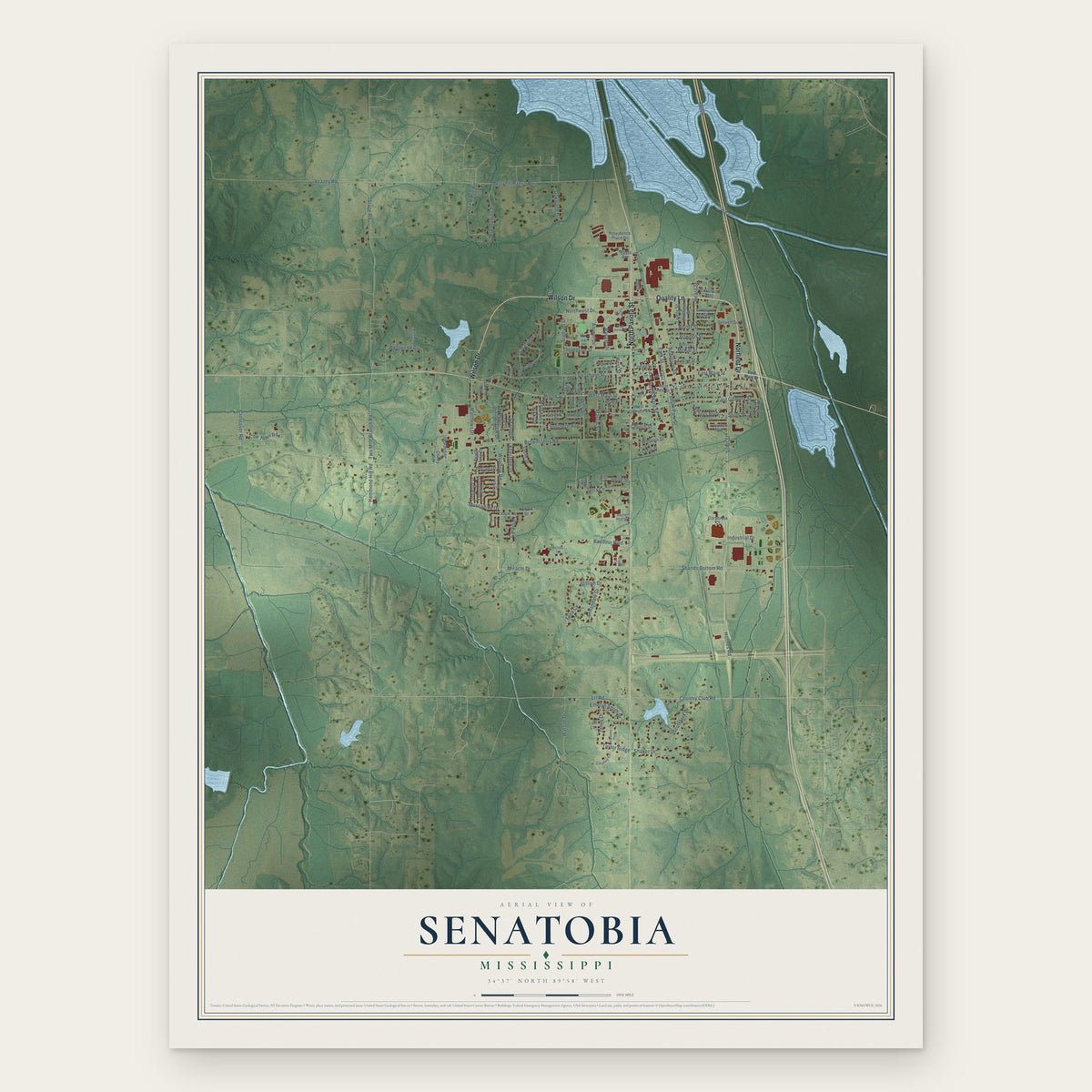
A new map of Senatobia, Mississippi, made in 2026 and printed to order on thick archival matte paper.
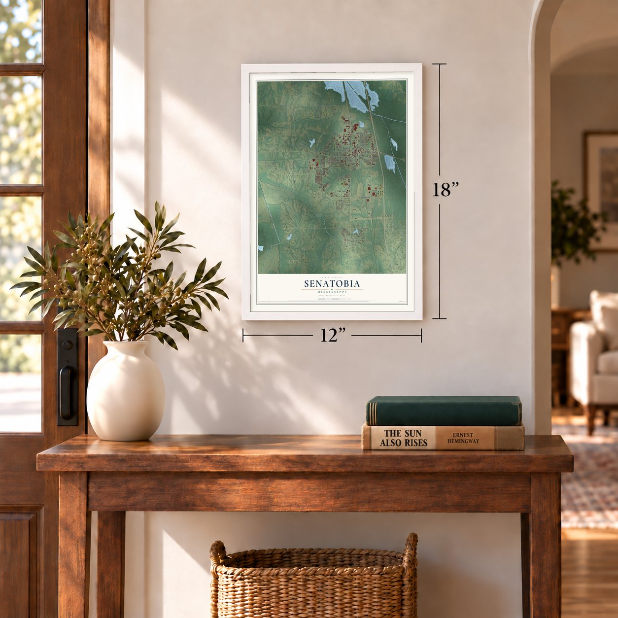
12" x 18" Archival Matte Print
A Map of Home. A Work of Art.
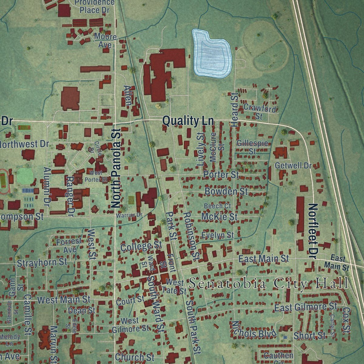
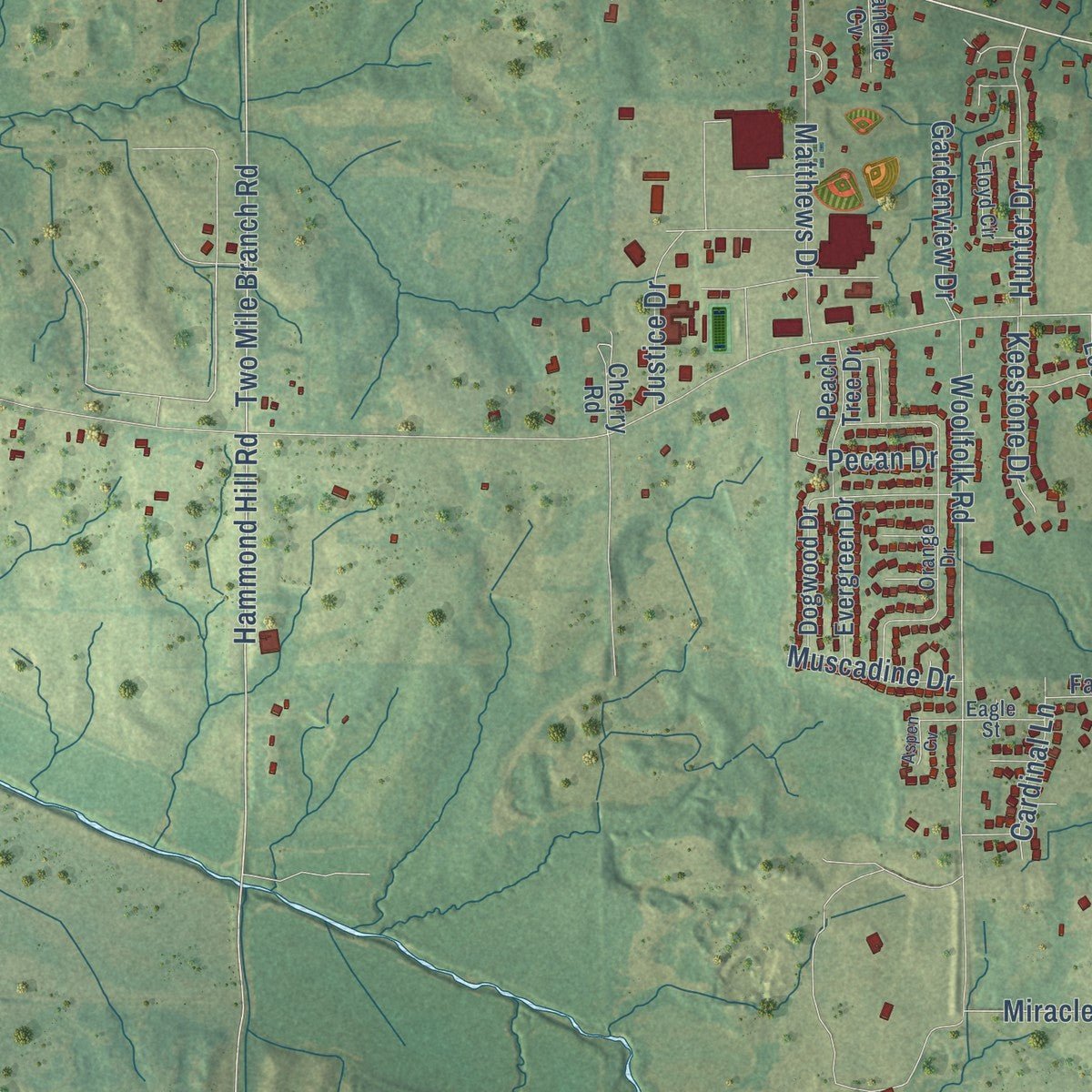
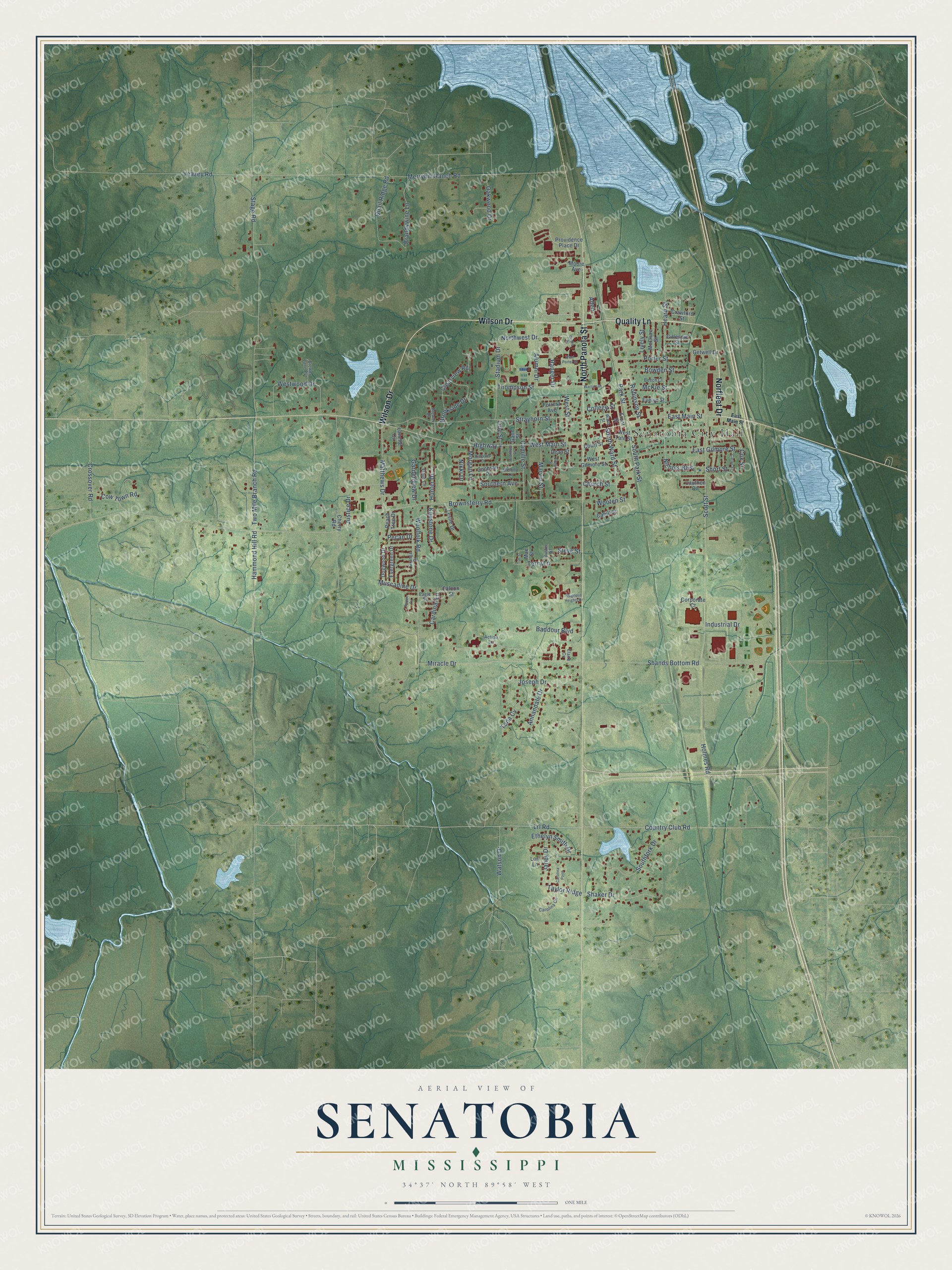
Explore Senatobia, Mississippi from a whole new perspective. Created using aerial imagery and detailed geographic data, this map captures Senatobia building by building, with labeled streets, familiar landmarks, and shaded topographical relief that highlights the natural contours of the landscape.
Combining modern data with the timeless character of a vintage atlas, this map is just as interesting up close as it is beautiful on the wall. Whether you grew up in Senatobia, spent memorable years there, or call it home today, this unique map is a great way to celebrate a place that means something to you. Zoom in on the preview to look for your street, and then order a print to put your memories on the wall.
Three ways to hang it
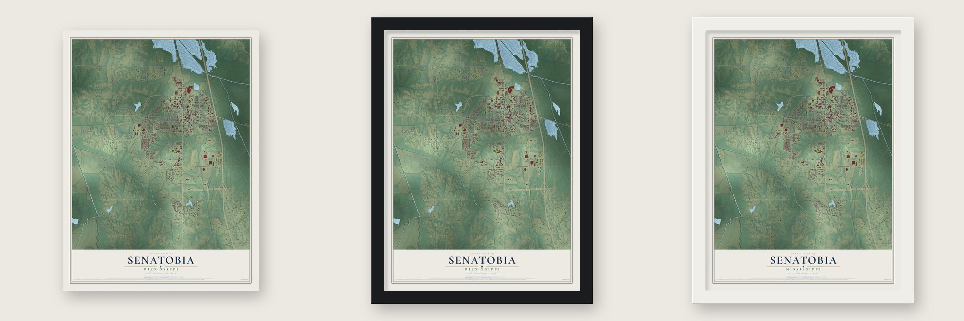
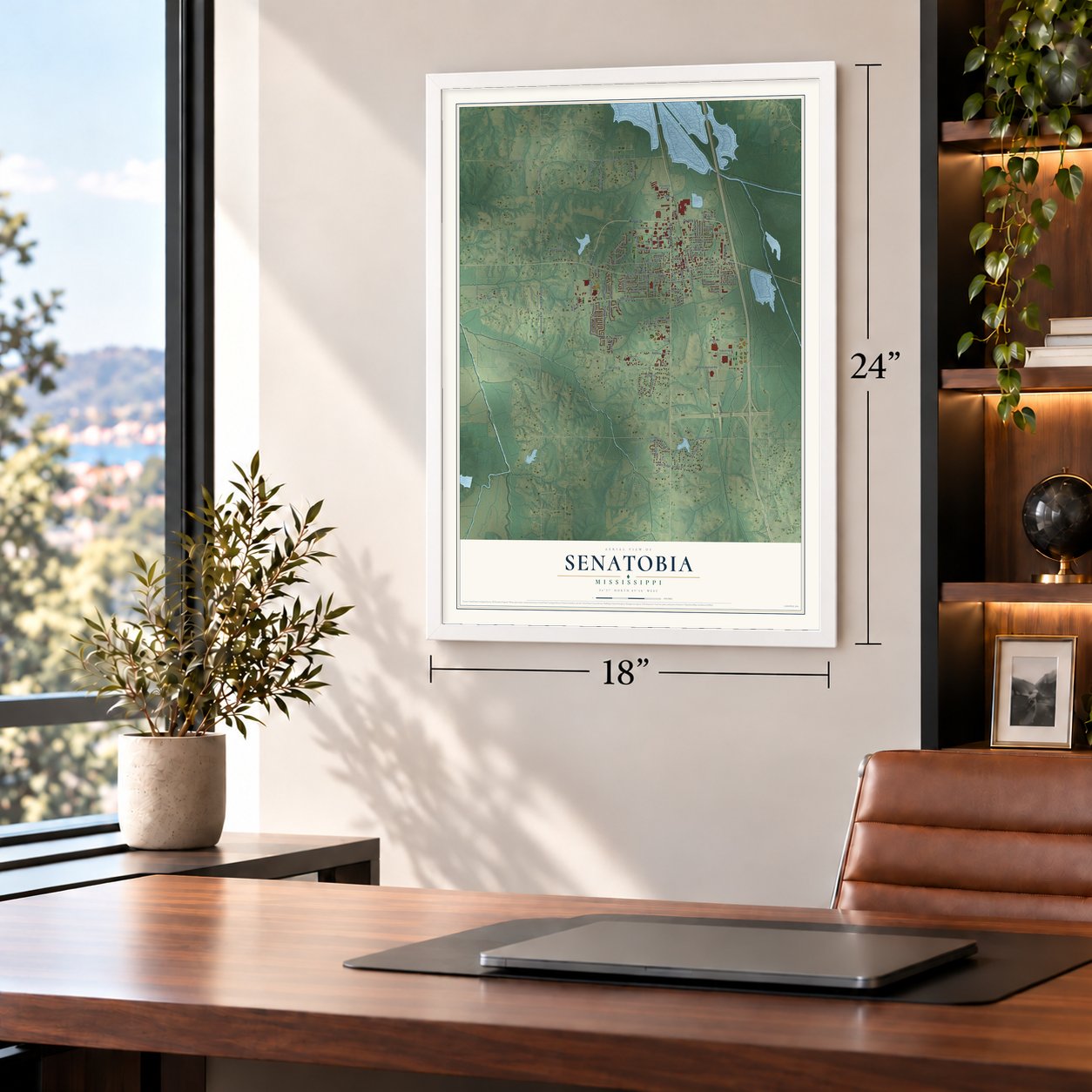
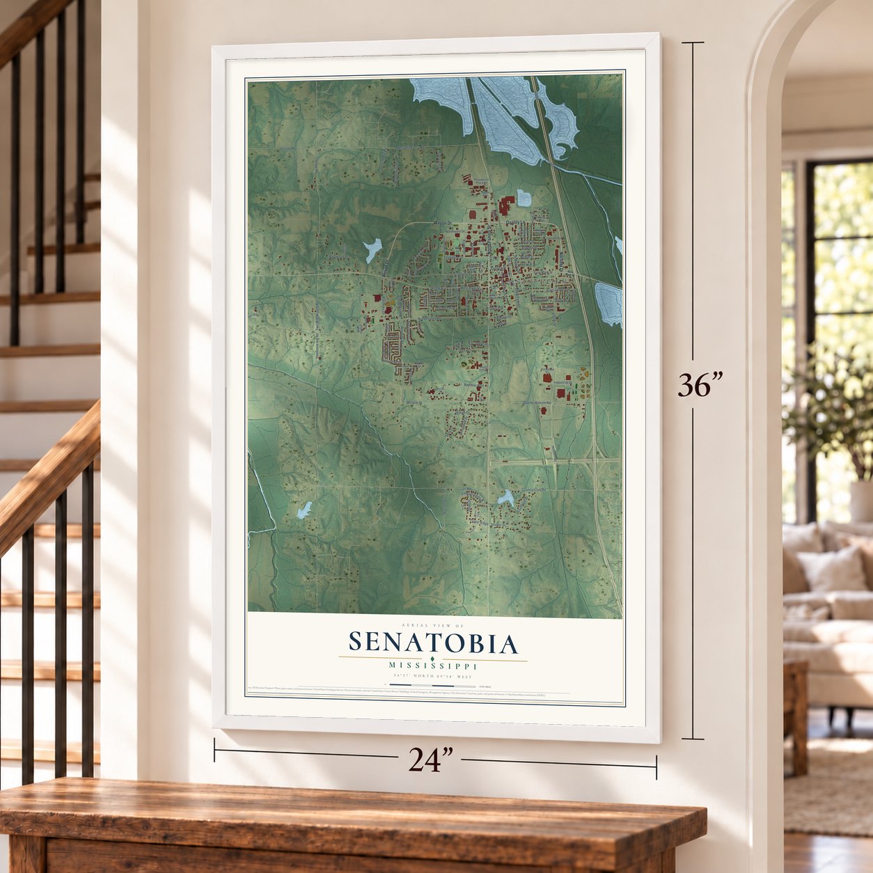
Unframed archival matte, a black wood frame or a white wood frame.
Up close
Geography Worth Displaying
This map was created using accurate cartographic data and authoritative geographic sources, including the U.S. Geological Survey and the Census Bureau. The map brings together terrain, waterways, roads, and building detail. The majority of the streets are labeled, houses are accurately depicted, and the topography is derived from government sources. Combining local data with carefully composed color and shading leads to this beautifully detailed Senatobia artwork for your wall.
Rather than simply showing street outlines, we’ve included as many of the street names as we could reasonably fit on the map while keeping their names legible. Zoom in on the high resolution preview to see exactly what’s on the map. We truly set out to create a statement piece for anyone who loves Senatobia. So whether it’s for you, or a gift for someone you love, we hope this map of Senatobia brings back fond memories.
Read the story behind this map of Senatobia, Mississippi from 2026.

About Senatobia, Mississippi
Senatobia is a city of 8,354 people and the county seat of Tate County, in the northwest corner of Mississippi about thirty miles south of Memphis. On April 13, 1834, an early settler named James Peters bought two sections of land from the Chickasaw Nation at $1.25 an acre, and that ground later grew into the town. It takes its name from Senatobia Creek.
The Tennessee and Mississippi Railroad opened in 1856, and the downtown business district grew up along it. The people of two nearby settlements, Tatumsville and Tatesville, abandoned them and moved to Senatobia because the railroad made travel easier. The town received its charter in 1860, and during the Civil War federal troops burned its business section twice.
- County seat since 1873Tate County was organized in 1873 during Reconstruction, carved from Tunica, DeSoto and Marshall counties. It took its name from Col. T. S. Tate, who came from a family of the area. Senatobia became the seat of the new county that same year. The Tate County Courthouse in Senatobia joined the National Register in 1994.
- Cotton and corn by railTate County shared in the farm boom that followed the Civil War, and by the 1880 census it ranked tenth in Mississippi for corn and twelfth for cotton. Because Senatobia had a train station, wagonloads of cotton, corn and other crops came to town to be shipped out. Sharecroppers and tenant farmers worked most of the land that grew them.
- A college town since 1928Northwest Community College first opened its doors in Senatobia in 1928. Now called Northwest Mississippi Community College, the state school offers two-year degrees in academic and technical fields, and more than seven thousand students attend each year.
- O. B. McClinton's birthplaceThe country singer and songwriter O. B. McClinton, who also recorded rhythm and blues, was born in Senatobia in 1940. He is one of many well-known musicians tied to Tate County.
Find your street
Names on the Senatobia map
Every name below is printed on this map. Look for your street, your school, the park where you played, or the pond down the road.
Places and landmarks1
- Senatobia City Hall
Streets and roads129
- Norfleet Drive
- Wilson Drive
- North Panola Street
- Quality Lane
- West Main Street
- East Main Street
- Miracle Drive
- Park Street
- Country Club Road
- Hammond Hill Road
- Two Mile Branch Road
- Lrl Road
- Robinson Street
- Highway 4
- Taylor Ridge
- Nichols Boulevard
- Line Street
- Brownsferry Road
- Shands Bottom Road
- Merryhill Ranch Road
- Scott Street
- Stage Road
- Strayhorn Street
- Heard Street
- Holmes Road
- Woolfolk Road
- Terry Lane
- Joseph Drive
- West Street
- Westwood Drive
Show all 129 streets
- Southfork Drive
- East Gilmore Street
- Crossover Road
- Baddour Boulevard
- Porter Street
- Quail Ridge Road
- South Ward Street
- Marvin Street
- Northwest Drive
- Matthews Drive
- Thompson Street
- Camille Street
- Shaker Drive
- Veazey Road
- Watson Drive
- Stadium Drive
- Brandywine Lane
- Annandale Drive
- Brookside Drive
- Bowden Street
- Hunter Drive
- McKie Street
- Cox Street
- Morgan Lane
- Clearview Road
- Allen
- Ranger Drive
- Janey Drive
- Alumni Drive
- Cow Town Road
- Ethelyn Smith Drive
- Industrial Drive
- South Park Street
- Gardenview Drive
- Keestone Drive
- Oakwood Drive
- Southern Avenue
- Justice Drive
- Cardinal Lane
- Pecan Drive
- Muscadine Drive
- College Street
- Lively Street
- Wooten Street
- Steve Street
- Church Street
- Nikki Drive
- Tena Cv
- Short Street
- West Tate Street
- West Gilmore Street
- Cochran Place
- Cauthen Circle
- Corporate Court
- Providence Place Drive
- Dogwood Drive
- Lori Lane
- Evergreen Drive
- Getwell Drive
- McClure Street
- Moore Avenue
- Peach Tree Drive
- Leslie Drive
- Crawford Street
- Forrest Avenue
- Evelyn Street
- Front Street
- Court Street
- Dean Street
- Gann Street
- Gillespie Street
- Cahill Street
- Falcon Street
- Cherry Road
- Lanelle Cv
- Mae Street
- Action Lane
- Orange Drive
- Floyd Circle
- Carolina Circle
- Brewer Lane Pvt
- Ward Street
- Melody Lane
- Beech Court
- Buster Street
- Eagle Street
- Brewer Drive
- Claire Cv
- Magnolia Heights Drive
- Circle Drive
- Carter Street
- West Porter Street
- Ridgetop Drive
- Carolina Point
- Aspen Cv
- Warrior Drive
- Glendale Street
- Tim Street
- Edele Street
Names are listed as they appear on the printed map. Zoom into the product photos to find them.
The art of mapping a place
How This Map Was Made
Real places. Remarkable detail. Discover the layers that turn geographic data into a map of home.

The view from above
Aerial imagery reveals the character of the land: woodland, open fields, and the patterns of a place.

The shape of the land
Elevation data brings hills, valleys, and subtle changes in the landscape into view.

The details of home
Roads, waterways, and building footprints come together to make the map feel unmistakably local.

Geography becomes art
Considered color, shading, and typography bring the layers together in a map made for your wall.


Process illustrated with Mendon, Massachusetts. Aerial imagery: USDA NAIP. Terrain: USGS 3D Elevation Program. Map details and finished artwork: KNOWOL.
The Details
About This Print
Choose an archival matte print, or a black or white Ayous wood frame. The archival matte print is unframed.
Select your size and finish above to see the matching product image and price.
Materials & Craftsmanship
A contemporary map with the character of a classic atlas, printed on archival matte paper. Optional frames are made from Ayous wood.
Your printed map does not include the watermark shown in the full-map preview.
Shipping & Delivery
Free shipping within the United States. Every print is made to order in the USA.
Buying a gift? Add a note in your cart and we'll include it. We never put prices in the package.
Prints ship within 2 to 3 business days. Allow 7 to 10 days total from ordering for delivery. Timing may vary during holidays or periods of high order volume.
Read our shipping policy.
Returns and damaged prints
Each print is made to order. Change-of-mind refunds are not available after production.
If your print arrives damaged, misprinted or incorrect, contact support@knowol.com within 30 days of receiving it. Include your order number, photos and a description of the issue.
Read our full refund and replacement policy. For questions about your order, email support@knowol.com.
Find your town
Looking for another city?
Find a map of home in our Mississippi collection, or any town in the country.
Nearby
Maps of towns near Senatobia
Know someone from one of these towns? Their map makes a great gift.
 Coldwater
, Mississippi
From $39.99See the map
 Como
Como, Mississippi
From $39.99See the map
 Strayhorn
, Mississippi
From $39.99See the map
More maps nearby: Arkabutla, Independence, Sardis, Crenshaw and Hernando.