
Search for another town





Free U.S. delivery 7 to 10 days after you order
Sequim, Washington Map Art
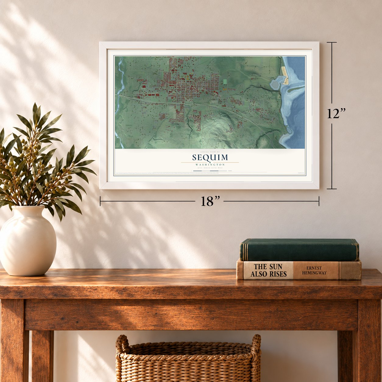
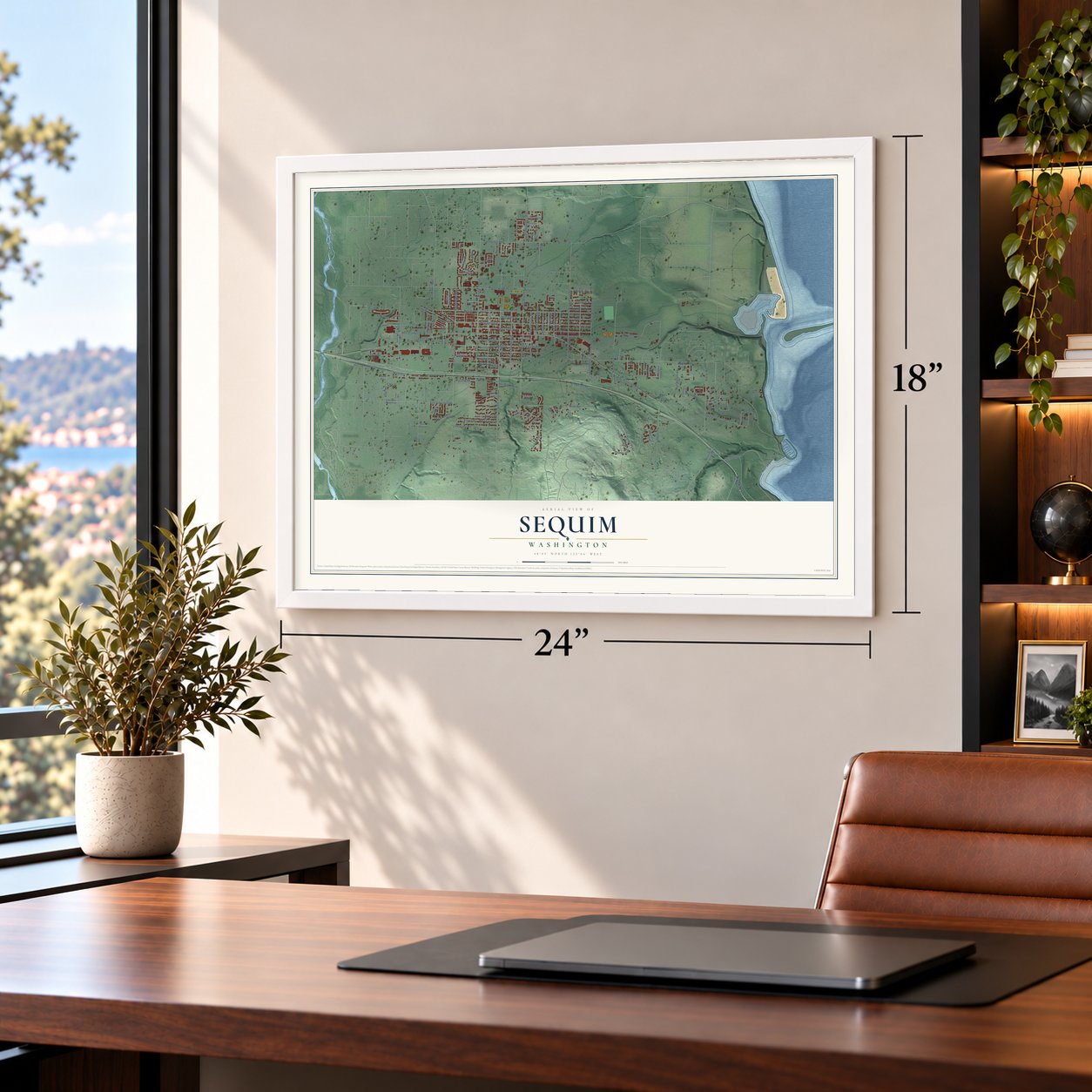
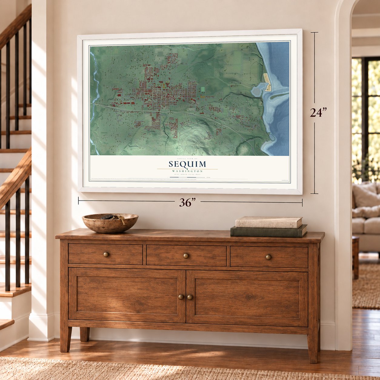
A new map of Sequim, Washington, made in 2026 and printed to order on thick archival matte paper.
12" x 18" Archival Matte Print
A Map of Home. A Work of Art.
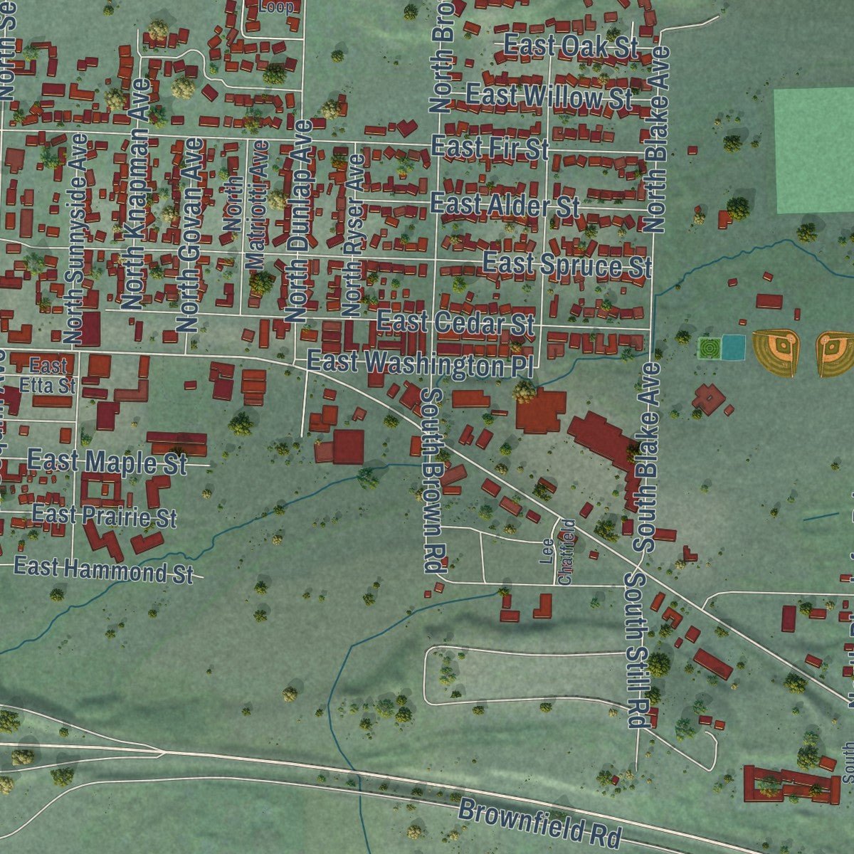
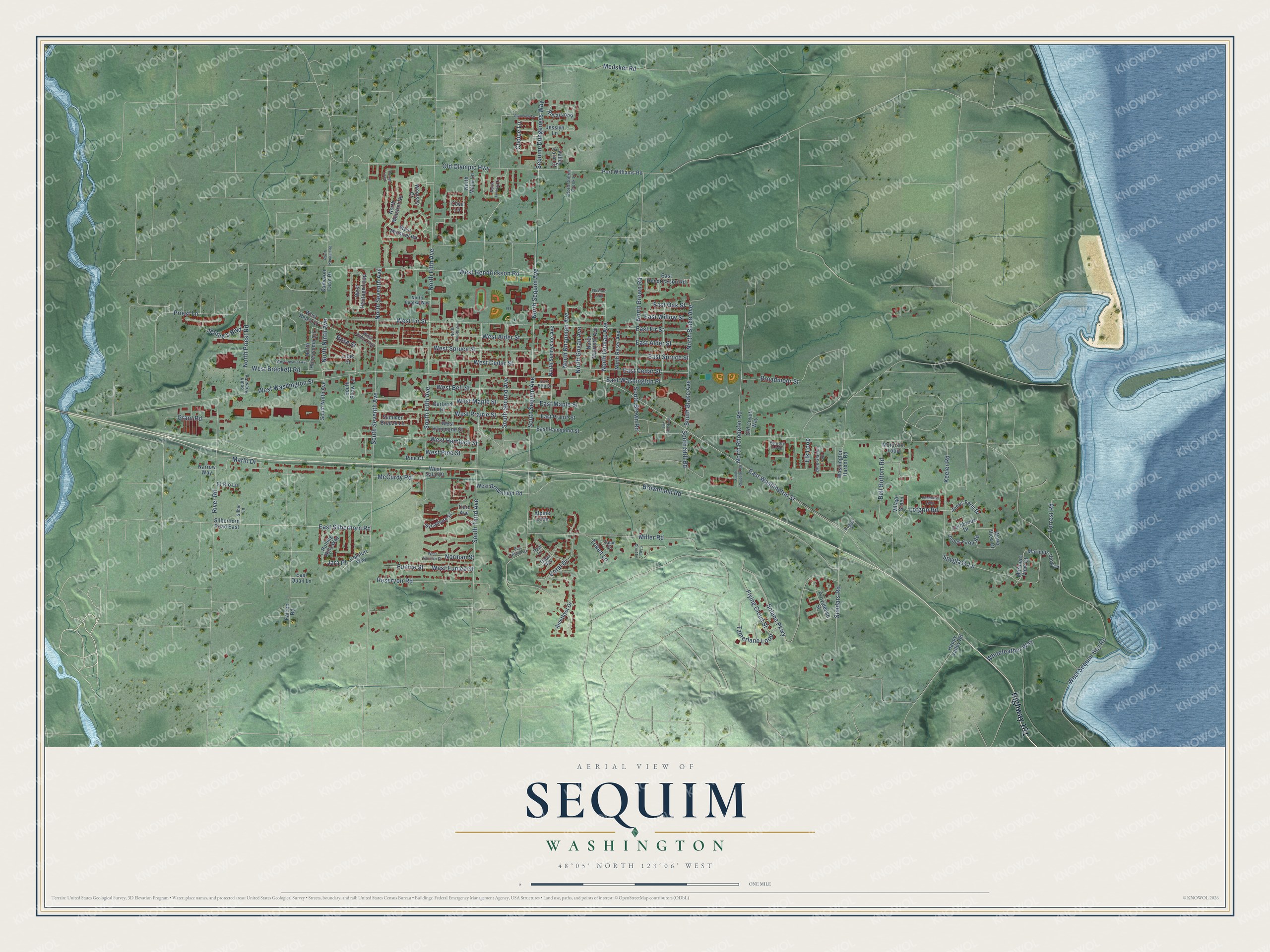
Explore Sequim, Washington from a whole new perspective. Created using aerial imagery and detailed geographic data, this map captures Sequim building by building, with labeled streets, familiar landmarks, and shaded topographical relief that highlights the natural contours of the landscape.
Combining modern data with the timeless character of a vintage atlas, this map is just as interesting up close as it is beautiful on the wall. Whether you grew up in Sequim, spent memorable years there, or call it home today, this unique map is a great way to celebrate a place that means something to you. Zoom in on the preview to look for your street, and then order a print to put your memories on the wall.
Three ways to hang it
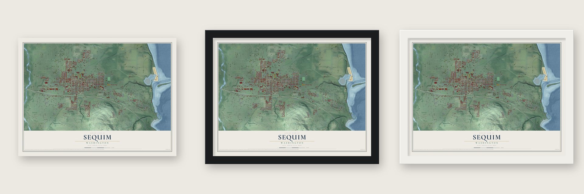
Unframed archival matte, a black wood frame or a white wood frame.
Up close
Geography Worth Displaying
This map was created using accurate cartographic data and authoritative geographic sources, including the U.S. Geological Survey and the Census Bureau. The map brings together terrain, waterways, roads, and building detail. The majority of the streets are labeled, houses are accurately depicted, and the topography is derived from government sources. Combining local data with carefully composed color and shading leads to this beautifully detailed Sequim artwork for your wall.
Rather than simply showing street outlines, we’ve included as many of the street names as we could reasonably fit on the map while keeping their names legible. Zoom in on the high resolution preview to see exactly what’s on the map. We truly set out to create a statement piece for anyone who loves Sequim. So whether it’s for you, or a gift for someone you love, we hope this map of Sequim brings back fond memories.
Read the story behind this map of Sequim, Washington from 2026.

About Sequim, Washington
Sequim is a city of 8,024 people in Clallam County, on the Olympic Peninsula's north shore between the Dungeness River and Sequim Bay. S'Klallam people lived here long before Europeans came, and the town's name comes from a Klallam word meaning "hunting ground" or "place for going to shoot." Settlers first reached the Dungeness Valley in the 1850s, and the name Sequim replaced the older spelling "Seguim" in 1879.
The Olympic Mountains block most of the rain, so away from the river the land was a dry prairie known as "the desert." In the 1890s irrigation canals carried water onto that prairie, and farms spread across it. Sequim incorporated on October 31, 1913, and for decades small farms, most of them dairies, surrounded the town.
- A festival since 1896The first Irrigation Festival took place on May 1, 1896, one year after an irrigation system on the Dungeness River began bringing water to the dry ground. Sequim has held it every spring since, making it the longest continually running festival in Washington, and in 2025 the town celebrated its 130th edition with a parade, concerts and a car show.
- Hunters 14,000 years agoIn the late 1970s, Washington State University archaeologist Carl Gustafson dug at the Manis Mastodon site near Sequim. One find was a mastodon bone with a point made of bone lodged in it, a sign that people hunted here about 14,000 years ago. Texas A&M archaeologist Michael R. Waters calls it the first hunting weapon found from before the Clovis period. The bones are now shown beside a mastodon mural at the Museum and Arts Center.
- Recognized in 1981The local tribe, the Jamestown S'Klallam, takes its name from an early leader, Lord James Balch. In the 1870s the tribe bought land of its own, and for years it turned down federal recognition so it could stay there. Recognition finally came in 1981. The government gave it trust land at Blyn, on Sequim Bay, and the tribe put up a tribal center and a casino there.
- A library from 1936Sequim's library began in the 1910s, and in November 1936 it moved into the Clyde Rhodefer Memorial Library, built by the federal Public Works Administration. The building honored the first Clallam County casualty of World War I. The county's rural library district took over the branch in 1947, and in 1983 a modern building near Sequim High School replaced it.
- Lavender Capital of North AmericaSequim gets less than 16 inches of rain a year, which earned it the nickname Sunny Sequim. That dry, mild climate suits lavender, and growers here farm it commercially. The town has held the Sequim Lavender Weekend every July since 1997.
Find your street
Names on the Sequim map
Every name below is printed on this map. Look for your street, your school, the park where you played, or the pond down the road.
Streets and roads151
- Highway 101
- East Washington Street
- East Silberhorn Road
- North Sequim Avenue
- South Sequim Avenue
- South Seventh Avenue
- North Fifth Avenue
- Choice Lane
- North Priest Road
- West Hendrickson Road
- South Second Avenue
- South Fifth Avenue
- West Sequim Bay Road
- West Washington Street
- Brownfield Road
- River Road
- South Third Avenue
- West Fir Street
- Solana Parkway
- West Spruce Street
- Miller Road
- Old Olympic Highway
- Keeler Road
- East Spruce Street
- East Fir Street
- West Prairie Street
- West Maple Street
- West Hemlock Street
- Simdars Road
- North Rhodefer Road
Show all 151 streets
- East Cedar Street
- Spyglass Lane
- West Brackett Road
- Whitefeather Way
- Tamerlane Loop
- West Alder Street
- West Cedar Street
- Reservoir Road
- North Brown Road
- North Seventh Avenue
- West Bell Street
- Bell Bottom Road
- Lofgrin Road
- East Willow Street
- North Dunlap Avenue
- Eunice Street
- West Eunice Street
- Flying Cloud Street
- North Blake Avenue
- Elk Loop
- Sequim-Dungeness Way
- East Alder Street
- North Knapman Avenue
- Grant Road
- Medsker Road
- Priest Lane
- Broadmoor Street
- East Washington Place
- Coral Drive
- Marlo Drive
- Jennie's Boulevard
- East Maple Street
- North Govan Avenue
- North Ninth Avenue
- West Pine Street
- Norman Street
- McCurdy Road
- South Brown Road
- South Blake Avenue
- South Still Road
- Token Lane
- East Oak Street
- Forrest Road
- Jara Place
- Rose Street
- Silberhorn Road East
- North Minstrel Road
- Sycamore Street
- West Hammond Street
- Morgison Loop
- East Hammond Street
- West Heritage Loop
- Port Williams Road
- Mariners View Drive
- Jones Farm Road
- Amethyst Drive
- Royal Loop
- North Honeycomb Circle
- Water View Drive
- West Brownfield Road
- Summer Breeze Lane
- North Sunnyside Avenue
- East Hendrickson Road
- Rolling Hills Way
- Jesslyn Lane
- East Prairie Street
- Village Green
- Jones Farm Drive
- South Ninth Avenue
- North Ryser Avenue
- North Matriotti Avenue
- West Minstrel Road
- Washington Harbor Road
- Mariners View Court
- Falcon Road
- Fernbrook Drive
- Comfort Way
- Happy Valley Road
- Cameron Farm Drive
- Garland Place
- Valley Farm Court
- West Helen Court
- Providence Street
- North Malia Lane
- Woolsey Court
- Old Coyote Way
- Narrow Way
- El Rio Lane
- Third Avenue
- Alpine Loop
- South Shaw Lane
- East Quail Lane
- West Salal Place
- Pine Court
- Lilac Street
- Cove Lane
- Boggs Place
- Blue Glacier Loop
- West Alder Loop
- North Gierin Creek Lane
- Stratus Loop
- North Eureka Way
- South Priest Road
- Silber Lane
- East Etta Street
- Topaz Way
- Talon Court
- Opal Lane
- North Fourth Avenue
- West Norman Street
- Clara Crest Lane
- West Deseret Avenue
- Elk Horn Loop
- Pinehurst Loop
- North Lindsay Lane
- Rainview Lane
- Rue Lavande Lane
- South Rhodefer Road
- North Kendall Road
- Hamer Loop
- Lee Chatfield
Names are listed as they appear on the printed map. Zoom into the product photos to find them.
The art of mapping a place
How This Map Was Made
Real places. Remarkable detail. Discover the layers that turn geographic data into a map of home.

The view from above
Aerial imagery reveals the character of the land: woodland, open fields, and the patterns of a place.

The shape of the land
Elevation data brings hills, valleys, and subtle changes in the landscape into view.

The details of home
Roads, waterways, and building footprints come together to make the map feel unmistakably local.

Geography becomes art
Considered color, shading, and typography bring the layers together in a map made for your wall.


Process illustrated with Mendon, Massachusetts. Aerial imagery: USDA NAIP. Terrain: USGS 3D Elevation Program. Map details and finished artwork: KNOWOL.
The Details
About This Print
Choose an archival matte print, or a black or white Ayous wood frame. The archival matte print is unframed.
Select your size and finish above to see the matching product image and price.
Materials & Craftsmanship
A contemporary map with the character of a classic atlas, printed on archival matte paper. Optional frames are made from Ayous wood.
Your printed map does not include the watermark shown in the full-map preview.
Shipping & Delivery
Free shipping within the United States. Every print is made to order in the USA.
Buying a gift? Add a note in your cart and we'll include it. We never put prices in the package.
Prints ship within 2 to 3 business days. Allow 7 to 10 days total from ordering for delivery. Timing may vary during holidays or periods of high order volume.
Read our shipping policy.
Returns and damaged prints
Each print is made to order. Change-of-mind refunds are not available after production.
If your print arrives damaged, misprinted or incorrect, contact support@knowol.com within 30 days of receiving it. Include your order number, photos and a description of the issue.
Read our full refund and replacement policy. For questions about your order, email support@knowol.com.
Find your town
Looking for another city?
Find a map of home in our Washington collection, or any town in the country.
Nearby
Maps of towns near Sequim
Know someone from one of these towns? Their map makes a great gift.
 Bell Hill
, Washington
From $39.99See the map
 River Road
, Washington
From $39.99See the map
 Jamestown
, Washington
From $39.99See the map
More maps nearby: Carlsborg, Blyn, Port Angeles East, Port Hadlock-Irondale and Port Townsend.