
Search for another town


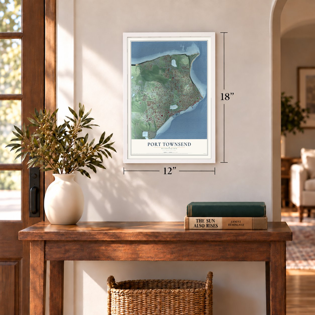

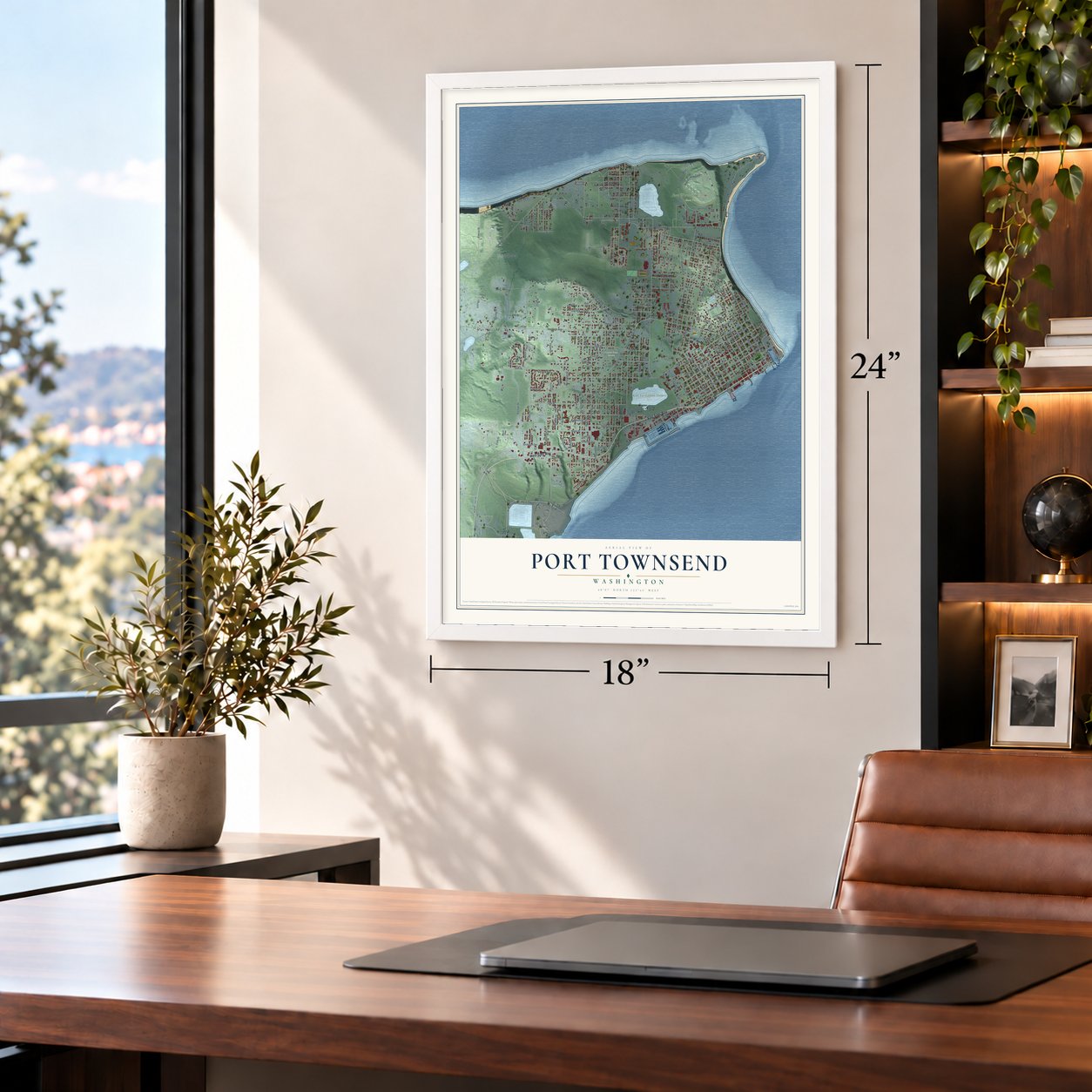
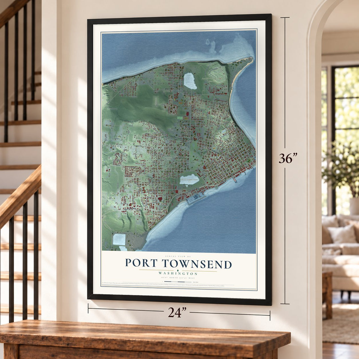
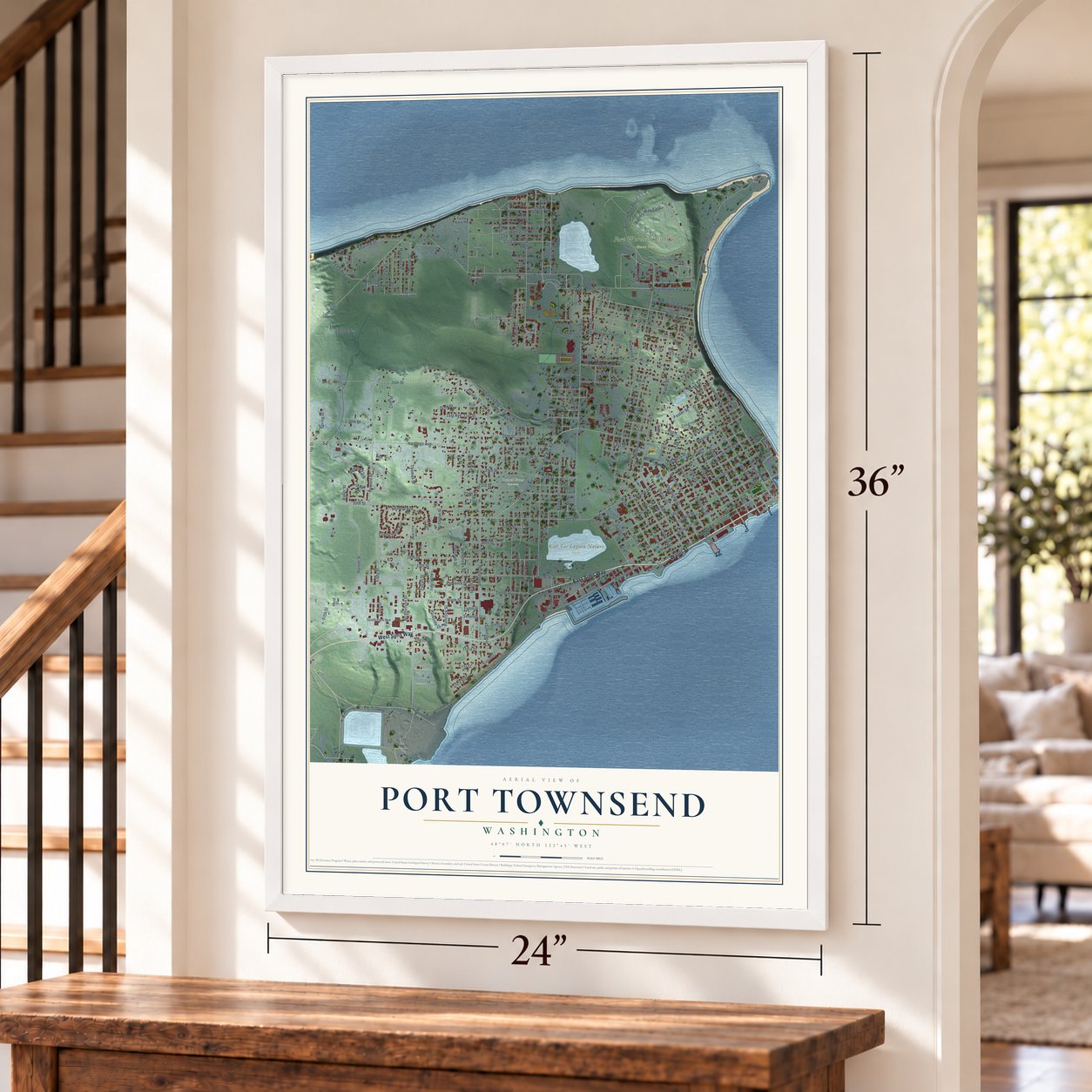

Free U.S. delivery 7 to 10 days after you order
Port Townsend, Washington Map Art
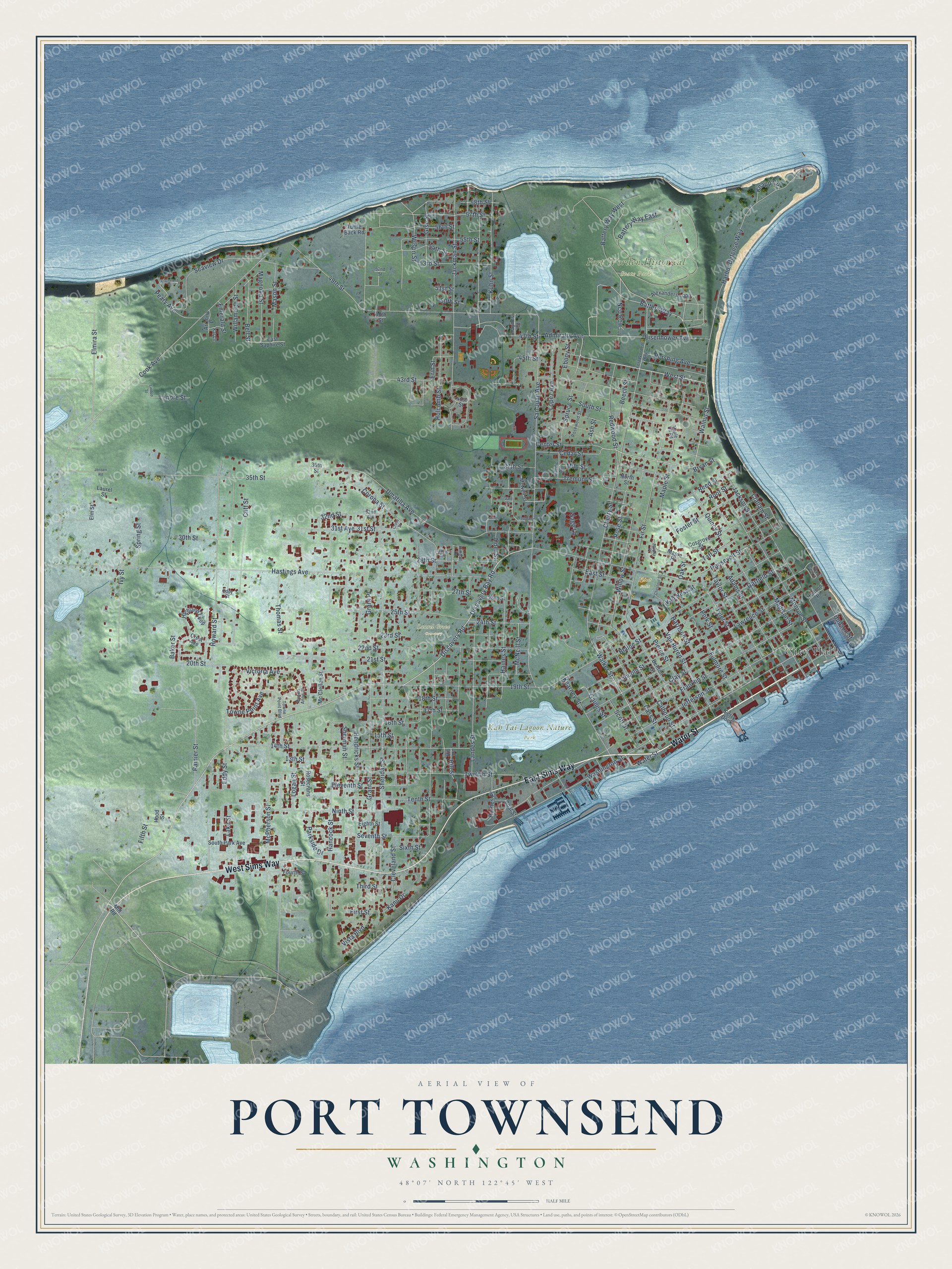
A new map of Port Townsend, Washington, made in 2026 and printed to order on thick archival matte paper.
12" x 18" Archival Matte Print
A Map of Home. A Work of Art.
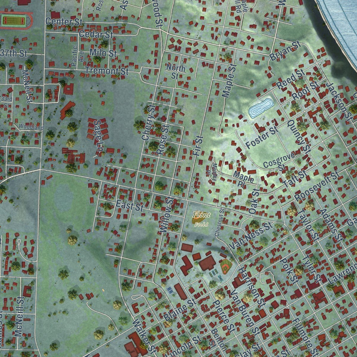
Explore Port Townsend, Washington from a whole new perspective. Created using aerial imagery and detailed geographic data, this map captures Port Townsend building by building, with labeled streets, familiar landmarks, and shaded topographical relief that highlights the natural contours of the landscape.
Combining modern data with the timeless character of a vintage atlas, this map is just as interesting up close as it is beautiful on the wall. Whether you grew up in Port Townsend, spent memorable years there, or call it home today, this unique map is a great way to celebrate a place that means something to you. Zoom in on the preview to look for your street, and then order a print to put your memories on the wall.
Three ways to hang it
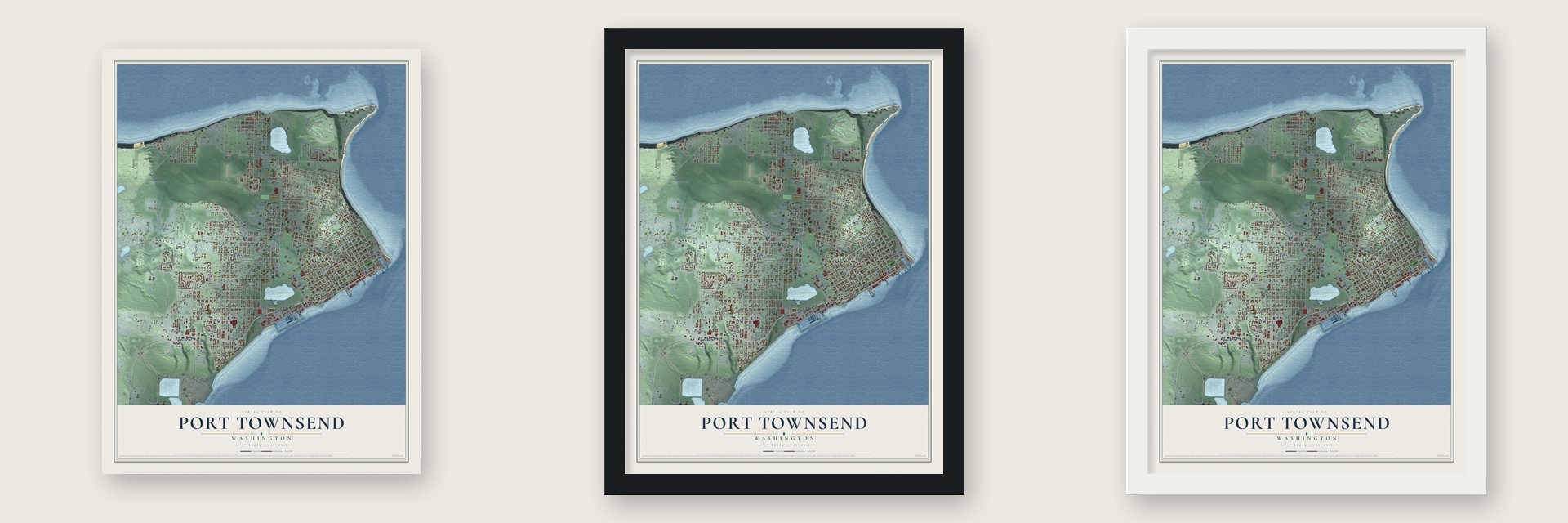
Unframed archival matte, a black wood frame or a white wood frame.
Up close
Geography Worth Displaying
This map was created using accurate cartographic data and authoritative geographic sources, including the U.S. Geological Survey and the Census Bureau. The map brings together terrain, waterways, roads, and building detail. The majority of the streets are labeled, houses are accurately depicted, and the topography is derived from government sources. Combining local data with carefully composed color and shading leads to this beautifully detailed Port Townsend artwork for your wall.
Rather than simply showing street outlines, we’ve included as many of the street names as we could reasonably fit on the map while keeping their names legible. Zoom in on the high resolution preview to see exactly what’s on the map. We truly set out to create a statement piece for anyone who loves Port Townsend. So whether it’s for you, or a gift for someone you love, we hope this map of Port Townsend brings back fond memories.
Read the story behind this map of Port Townsend, Washington from 2026.

About Port Townsend, Washington
Port Townsend is a city of 10,148 people and the county seat of Jefferson County, on the Quimper Peninsula near the mouth of Puget Sound. Klallam people wintered here in cedar plank houses and called the place Kah Tai. In 1792 British Captain George Vancouver named the bay Port Townshend for his friend the Marquis of Townshend. On April 24, 1851, Alfred A. Plummer and Charles Bachelder paddled a canoe ashore near Point Hudson and built a two-room cabin where Water and Tyler streets now meet. Loren B. Hastings and Francis W. Pettygrove, a cofounder of Portland, joined them as partners, and their families landed in February 1852.
Because it guarded the entrance to the sound, the town was made the Customs Port of Entry for Puget Sound, and investors put up ornate Victorian homes and business blocks, betting it would grow into a great city. That bet rested on a railroad. When the Northern Pacific failed to link the town to Tacoma, the boom was over by the late 1890s, and many buildings stood empty until a paper mill opened in 1928. Since so little was torn down, the historic district joined the National Register in 1976 and became a National Historic Landmark in 1977.
“On top of the bluff, the plateau was impenetrable; a dense undergrowth everywhere except along the edge”
- Chetzemoka brings his band homeUnder Chief S'Hai-ak and then his younger brother Chetzemoka, whom settlers called the "Duke of York," the Klallams on Port Townsend Bay stayed on good terms with the newcomers and mostly refused to move to the Skokomish Reservation. In 1871 nearly all the Indians in town were forced out, their beach homes burned and their canoes towed away. Chetzemoka soon led most of his band back and settled on Indian Island, across the bay from the town site.
- County seat since 1852Jefferson County was created on December 22, 1852, while the area still belonged to Oregon Territory, and Port Townsend was named its seat, perhaps before it was legally a town. The first formal plat, showing 144 lots, was recorded with the county auditor on August 2, 1856. The Jefferson County Courthouse, built in the Romanesque style made popular by Henry Hobson Richardson, rises to a 125-foot bell tower.
- A bell for the firemenFrom 1890 into the 1940s, a bell tower on the bluff above downtown summoned the town's volunteer firefighters. It is one of two known towers of its kind in the country; the other, also used for fire alarms, stands in Helena, Montana. The Jefferson County Historical Society restored the Port Townsend tower in 2003.
- Hollywood at Fort WordenThe artillery post at Fort Worden helped keep the town going after the boom ended. The old fort is now a state park and home to Centrum, an arts group that hosts Fiddle Tunes and blues and jazz festivals. In late October and November 1981 it was the main filming location for An Officer and a Gentleman, the 1982 movie starring Richard Gere.
Find your street
Names on the Port Townsend map
Every name below is printed on this map. Look for your street, your school, the park where you played, or the pond down the road.
Places and landmarks5
- City Hall
- Fort Worden Historical State Park
- Kah Tai Lagoon Nature Park
- Laurel Grove Cemetery
- Flint Field
Streets and roads213
- Water Street
- East Sims Way
- West Sims Way
- Discovery Road
- West Street
- Walker Street
- Eisenhower Avenue
- Walnut Street
- 32nd Street
- Discovery Bay Road
- Hill Street
- Beech Street
- Battery Way
- Erin Street
- Kuhn Street
- 20th Street
- 19th Street
- Sherman Street
- Elmira Street
- 16th Street
- Hastings Avenue
- Jackman Street
- Sheridan Street
- San Juan Avenue
- Washington Street
- Hendricks Street
- Jefferson Street
- Holcomb Street
- Grant Street
- Battery Way East
Show all 213 streets
- Landes Street
- Howard Street
- Blaine Street
- 49th Street
- Cherry Street
- Wilson Street
- Gise Street
- Hancock Street
- Harbor Defense Way
- Lawrence Street
- 14th Street
- Umatilla Avenue
- Eddy Street
- Clay Street
- Cook Avenue
- Lincoln Street
- Fir Street
- Cleveland Street
- Haines Street
- Twelfth Street
- 22nd Street
- Jackson Street
- 35th Street
- Monroe Street
- Garfield Street
- 25th Street
- Quincy Street
- Franklin Street
- McPherson Street
- Tenth Street
- Logan Street
- Cliff Street
- Thomas Street
- Tyler Street
- Madison Street
- Willow Street
- Redwood Street
- Taylor Street
- Adams Street
- Rose Street
- 29th Street
- 53rd Street
- 21st Street
- Cass Street
- Battery Way West
- Victoria Avenue
- 30th Street
- Maple Street
- Ivy Street
- Rainier Street
- Ninth Street
- 31st Street
- 23rd Street
- Hudson Street
- Harrison Street
- Seventh Street
- Calhoun Street
- Pierce Street
- 57th Street
- 13th Street
- Seaview Drive
- Spruce Street
- 27th Street
- Corona Street
- Van Buren Street
- McNeill Street
- Kearney Street
- 56th Street
- Third Street
- 54th Street
- Magnolia Street
- Polk Street
- Roosevelt Street
- South Street
- 18th Street
- Taft Street
- Towne Point Avenue
- Lopez Avenue
- Eleventh Street
- 43rd Street
- East Street
- 47th Street
- Fillmore Street
- Van Ness Street
- 55th Street
- Mason Street
- Cedar Street
- 58th Street
- 17th Street
- 24th Street
- Center Street
- Bell Street
- Foster Street
- Tremont Street
- Pershing Avenue
- 31st Avenue
- First Street
- Gaines Street
- Scott Street
- Willamette Street
- Parkside Drive
- Peary Avenue
- Reed Street
- Admiralty Avenue
- Haines Place
- Sixth Street
- Clallam Street
- Spring Street
- 37th Street
- 45th Street
- Knapp Circle
- Lenore Street
- Bryan Street
- Grant Place
- Root Street
- 50th Street
- Nco Row
- 15th Street
- Ash Street
- Vista Boulevard
- Emerald Street
- 51st Street
- Baker Street
- Alder Street
- Sage Lane
- Ebony Street
- Lake Street
- Milo Street
- Oak Street
- Kanu Drive
- Fifth Street
- Mill Road
- 41st Street
- Elm Street
- Alexanders Loop
- Benton Street
- Rosecrans Street
- Cosgrove Street
- McNeil Street
- Highland Loop
- North Street
- Fourth Street
- Eighth Street
- South Park Avenue
- East Saphire Street
- Mc Clellan Street
- Laurel Street
- Turtle Back Road
- Crest Avenue
- Hill Place
- 26th Street
- Hudson Place
- Arizona Place
- 36th Street
- Haynes Street
- Boat Street
- Maple Place
- 48th Street
- Hood Street
- Ferry Dock
- 32nd Avenue
- Fort Worden Way
- Rosewood Street
- Queen Anne Place
- Towne Point Boulevard
- Pacific Avenue
- Kimball Court
- Eddy Court
- Kat Lane
- Maple Hll Road
- 52nd Street
- Ahl
- 33rd Street
- Lincoln Beach Drive
- Chestnut Street
- Woodland Avenue
- Clairmont Street
- Benedict Street
- Linden Street
- Mosley Place
- Landis Lane
- Jensen Road
- Cross Street
Names are listed as they appear on the printed map. Zoom into the product photos to find them.
The art of mapping a place
How This Map Was Made
Real places. Remarkable detail. Discover the layers that turn geographic data into a map of home.

The view from above
Aerial imagery reveals the character of the land: woodland, open fields, and the patterns of a place.

The shape of the land
Elevation data brings hills, valleys, and subtle changes in the landscape into view.

The details of home
Roads, waterways, and building footprints come together to make the map feel unmistakably local.

Geography becomes art
Considered color, shading, and typography bring the layers together in a map made for your wall.


Process illustrated with Mendon, Massachusetts. Aerial imagery: USDA NAIP. Terrain: USGS 3D Elevation Program. Map details and finished artwork: KNOWOL.
The Details
About This Print
Choose an archival matte print, or a black or white Ayous wood frame. The archival matte print is unframed.
Select your size and finish above to see the matching product image and price.
Materials & Craftsmanship
A contemporary map with the character of a classic atlas, printed on archival matte paper. Optional frames are made from Ayous wood.
Your printed map does not include the watermark shown in the full-map preview.
Shipping & Delivery
Free shipping within the United States. Every print is made to order in the USA.
Buying a gift? Add a note in your cart and we'll include it. We never put prices in the package.
Prints ship within 2 to 3 business days. Allow 7 to 10 days total from ordering for delivery. Timing may vary during holidays or periods of high order volume.
Read our shipping policy.
Returns and damaged prints
Each print is made to order. Change-of-mind refunds are not available after production.
If your print arrives damaged, misprinted or incorrect, contact support@knowol.com within 30 days of receiving it. Include your order number, photos and a description of the issue.
Read our full refund and replacement policy. For questions about your order, email support@knowol.com.
Find your town
Looking for another city?
Find a map of home in our Washington collection, or any town in the country.
Nearby
Maps of towns near Port Townsend
Know someone from one of these towns? Their map makes a great gift.
 Port Hadlock-Irondale
, Washington
From $39.99See the map
 Marrowstone
, Washington
From $39.99See the map
 Coupeville
, Washington
From $39.99See the map
More maps nearby: Blyn, Freeland, Oak Harbor, Jamestown and Sequim.