
Search for another town




Free U.S. delivery 7 to 10 days after you order
Shelbyville, Tennessee Map Art
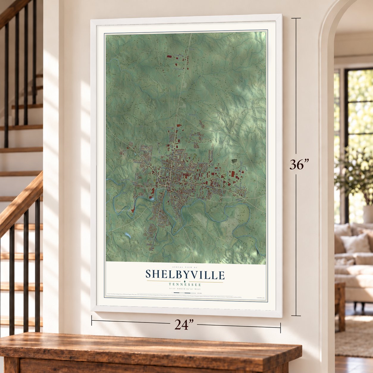
A new map of Shelbyville, Tennessee, made in 2026 and printed to order on thick archival matte paper.
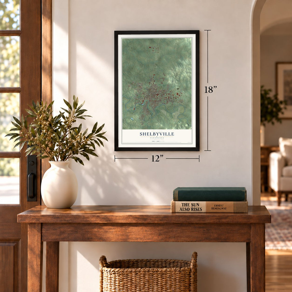
12" x 18" Archival Matte Print
A Map of Home. A Work of Art.
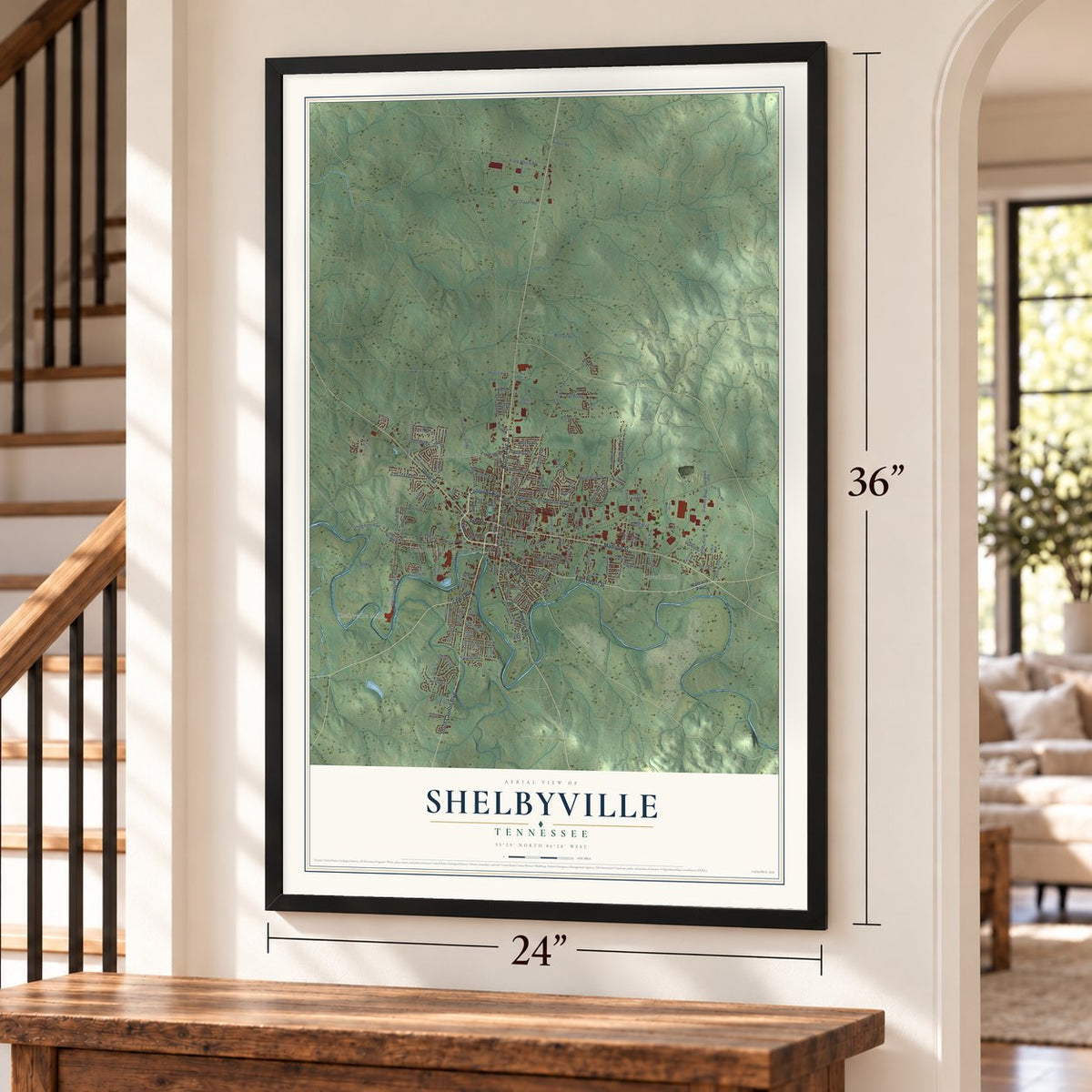
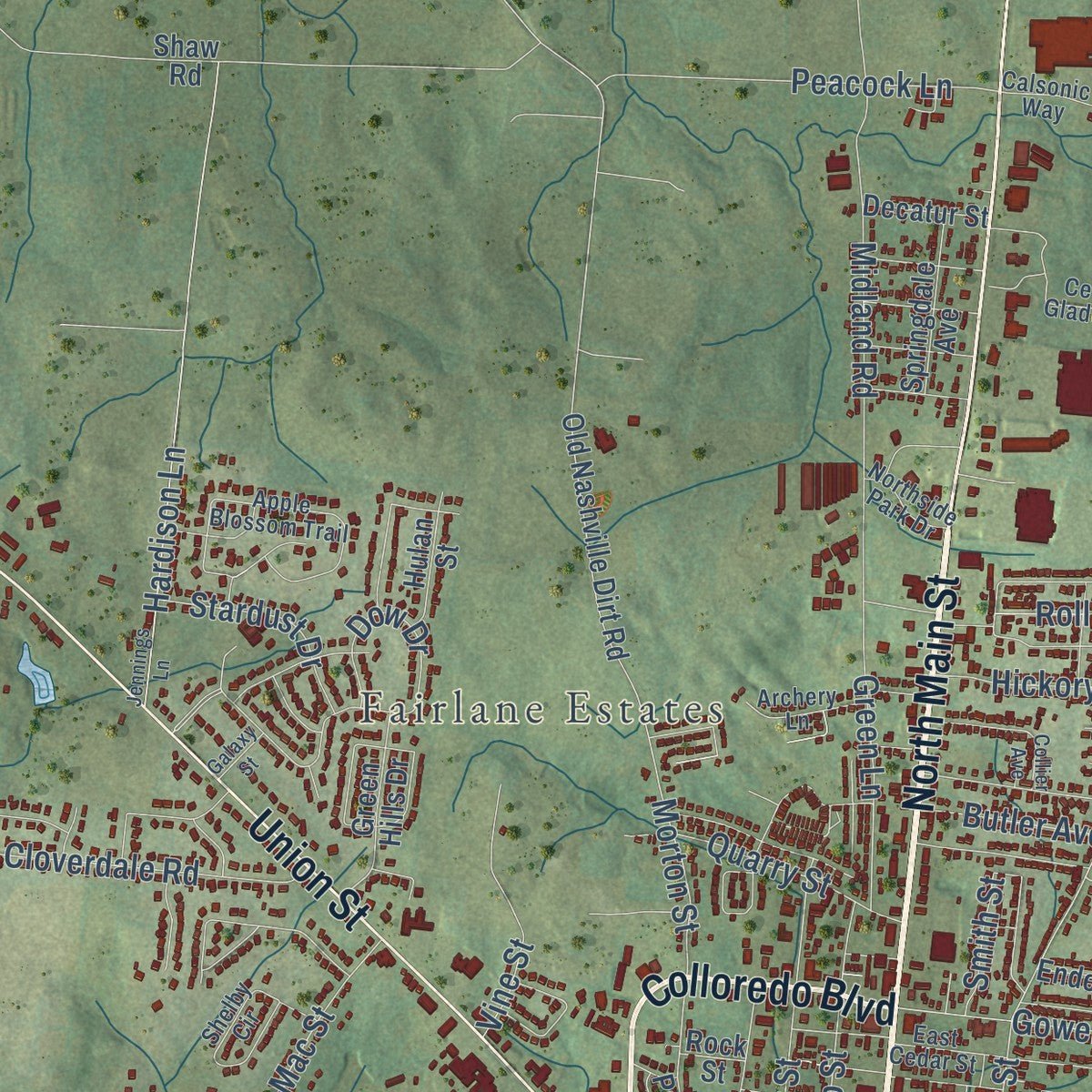
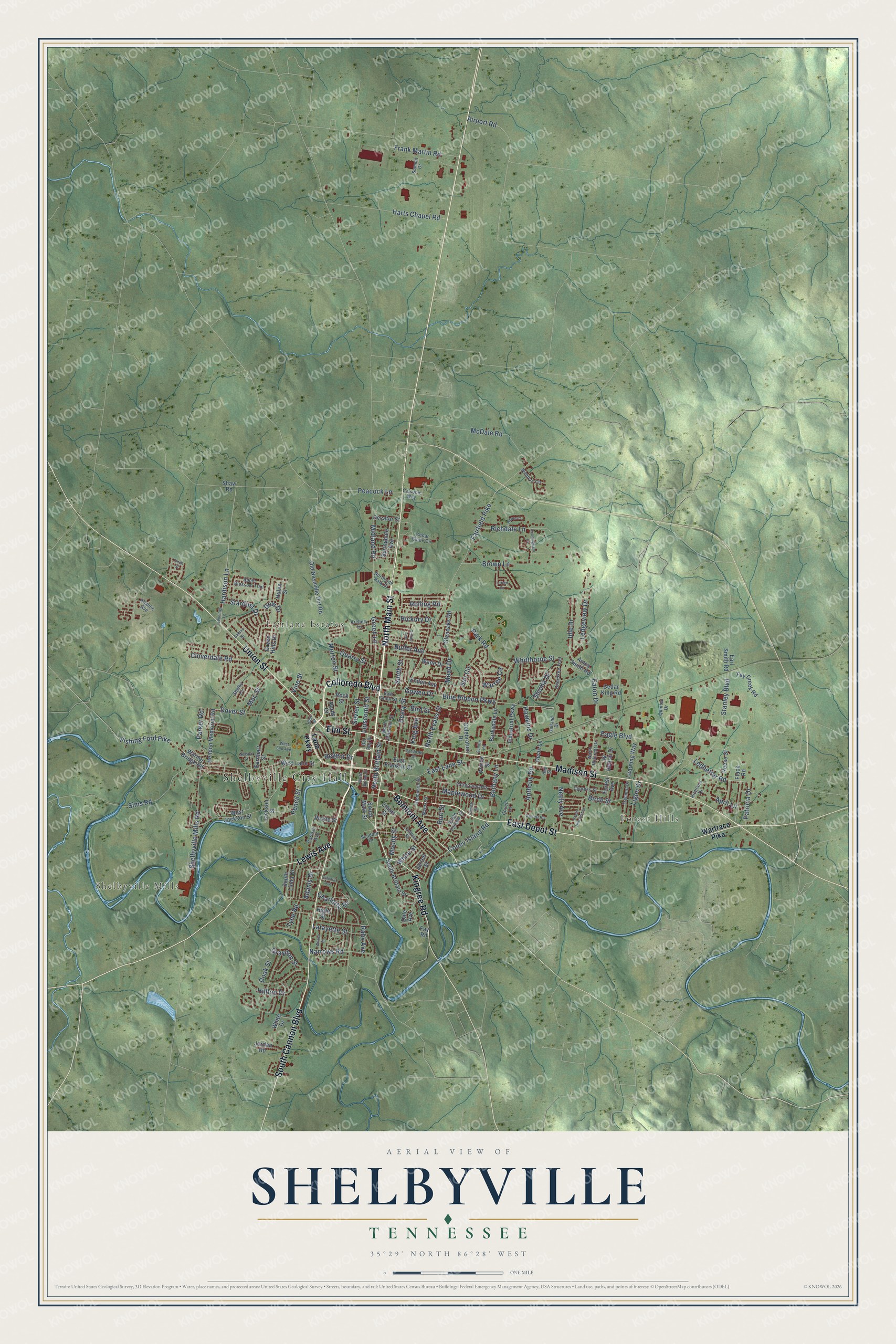
Explore Shelbyville, Tennessee from a whole new perspective. Created using aerial imagery and detailed geographic data, this map captures Shelbyville building by building, with labeled streets, familiar landmarks, and shaded topographical relief that highlights the natural contours of the landscape.
Combining modern data with the timeless character of a vintage atlas, this map is just as interesting up close as it is beautiful on the wall. Whether you grew up in Shelbyville, spent memorable years there, or call it home today, this unique map is a great way to celebrate a place that means something to you. Zoom in on the preview to look for your street, and then order a print to put your memories on the wall.
Three ways to hang it
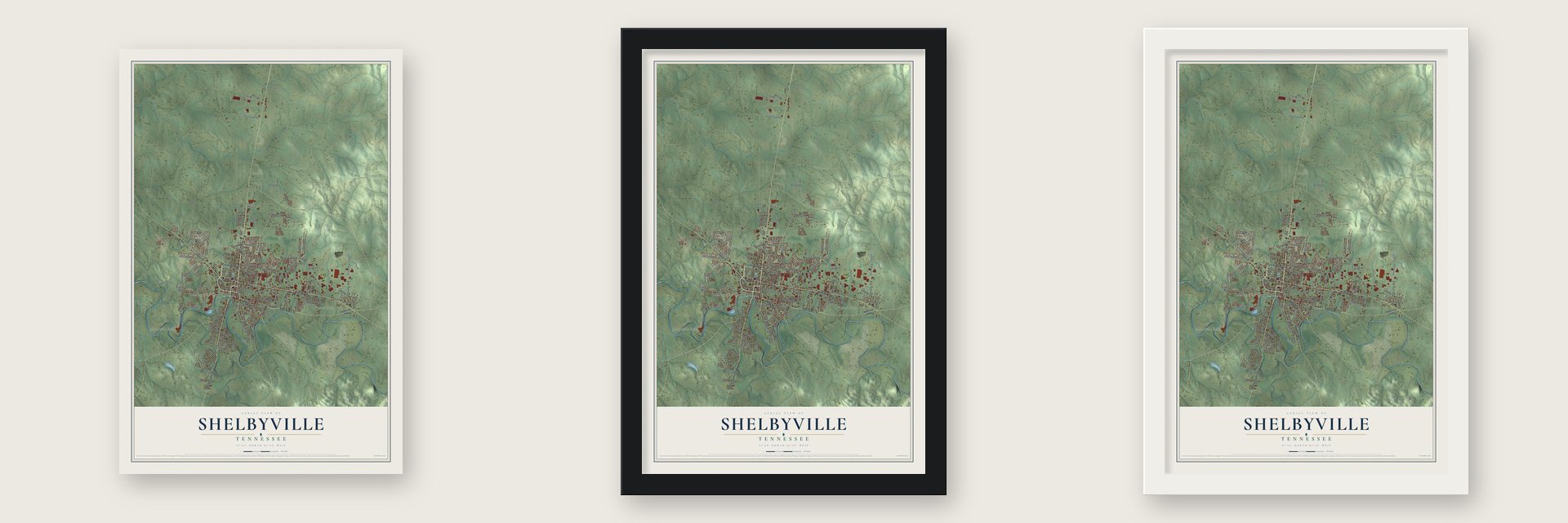
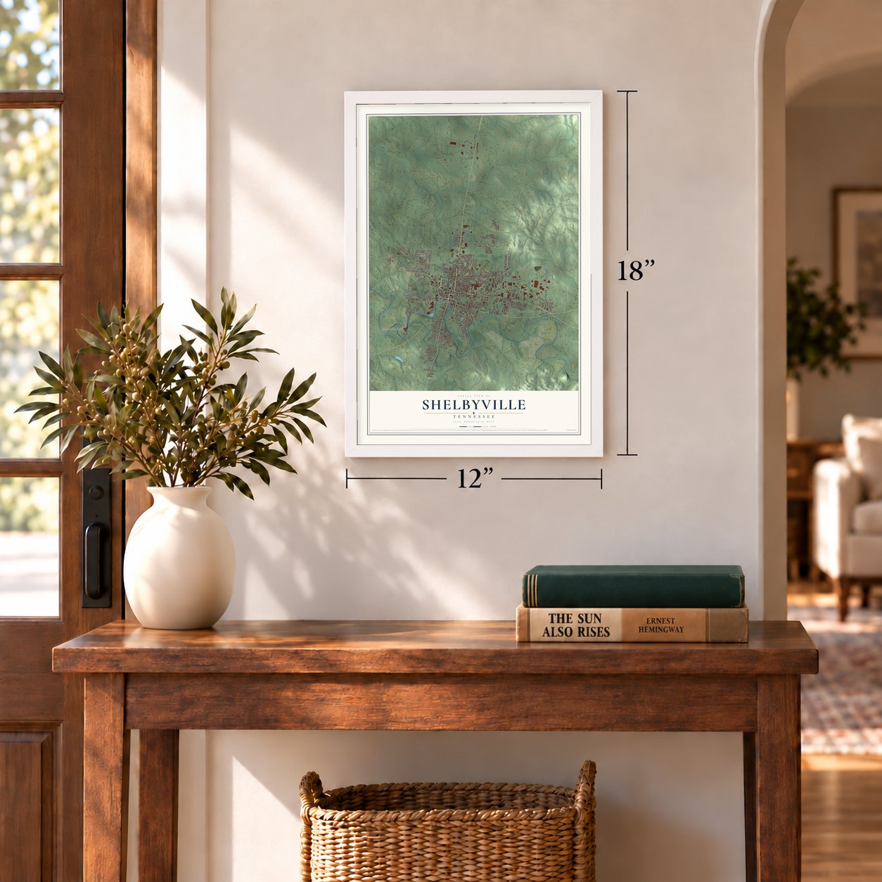
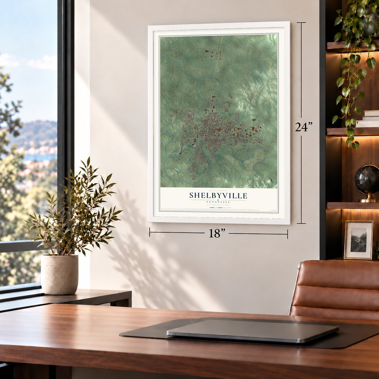
Unframed archival matte, a black wood frame or a white wood frame.
Up close
Geography Worth Displaying
This map was created using accurate cartographic data and authoritative geographic sources, including the U.S. Geological Survey and the Census Bureau. The map brings together terrain, waterways, roads, and building detail. The majority of the streets are labeled, houses are accurately depicted, and the topography is derived from government sources. Combining local data with carefully composed color and shading leads to this beautifully detailed Shelbyville artwork for your wall.
Rather than simply showing street outlines, we’ve included as many of the street names as we could reasonably fit on the map while keeping their names legible. Zoom in on the high resolution preview to see exactly what’s on the map. We truly set out to create a statement piece for anyone who loves Shelbyville. So whether it’s for you, or a gift for someone you love, we hope this map of Shelbyville brings back fond memories.
Read the story behind this map of Shelbyville, Tennessee from 2026.

About Shelbyville, Tennessee
Shelbyville is a city of 23,557 people and the seat of Bedford County. It sits on a limestone bluff, and the Duck River curves around the south and east sides of town. Clement Cannon settled near the site around 1805 or 1806 and ran the county's first grist mill. The town was laid out on land he gave in 1810 and became incorporated in 1819. Fords across the river at both ends of town made it a natural place to trade.
Bedford County split during the Civil War and sent almost as many soldiers to the Union as to the Confederacy. Shelbyville's loyalty to the Union won it the nickname "Little Boston." Both armies marched through, and both used nearby Horse Mountain as a signal station. On June 27, 1863, four companies of the Fifth Tennessee under Col. Bob Galbraith advanced from Guy's Gap. They chased the retreating Confederates down Martin Street in a running fight, and the Confederates fled across the Duck River at the Scull Camp bridge.
- The Walking Horse CelebrationShelbyville has hosted the Tennessee Walking Horse National Celebration since 1939. It runs for the 11 days and nights before Labor Day. It is the breed's largest show, and it names a World Grand Champion and more than 20 World Champions, with over $650,000 in prizes. The first winner was Strolling Jim, and the city is known as the Walking Horse Capital of the World.
- The Pencil CityShelbyville earned this name for its long history of making wood-cased pencils, and writing instruments are still made here. In 1991 the city produced the world's longest pencil. It was a plastic-cased pencil 1,091 feet long that weighed 27 pounds. Musgrave Pencil Company, one of the last four pencil makers in the United States, is based in town.
- Turner College, 1885The Kentucky Annual Conference of the AME Church helped found Turner College in October 1885 for Black students. Its first leader, Bishop Henry M. Turner, later gave the school his name. Local people kept it going in two brick buildings, offering high school classes, teacher training in a normal school, and industrial and Bible institutes. It had 385 students between 1920 and 1924, but the money ran out, and it closed for good in the late 1920s.
- A governor's family homeThe Gov. Prentice Cooper House was built in 1904 for William Prentice Cooper, a mayor of Shelbyville. His son Prentice Cooper served as Governor of Tennessee from 1939 to 1945. The house joined the National Register in 1975, the same year as the Bedford County Jail and the James Gilliland House.
Find your street
Names on the Shelbyville map
Every name below is printed on this map. Look for your street, your school, the park where you played, or the pond down the road.
Places and landmarks4
- Shelbyville City Hall
- Shelbyville Mills
- Forest Hills
- Fairlane Estates
Streets and roads174
- North Main Street
- East Depot Street
- South Cannon Boulevard
- Elm Street
- Madison Street
- Union Street
- Kingree Road
- Colloredo Boulevard
- Belmont Avenue
- Lewis Avenue
- Eaton Drive
- Hickory Drive
- Mead Drive
- Fairfield Pike
- Ledbetter Road
- Gowen Drive
- Deery Street
- Stanley Boulevard
- East Lane Street
- Whitthorne Street
- Midland Road
- Airport Road
- McDale Road
- Brown Lane
- Blue Ribbon Parkway
- Shelbyville Mills Road
- Harts Chapel Road
- Eagle Boulevard
- Dow Drive
- Frank Martin Road
Show all 174 streets
- Dover Street
- Sims Road
- Fishing Ford Pike
- Richdale Lane
- Hilltop Drive
- Hardison Lane
- Morton Street
- Sun Circle
- Ledgeview Drive
- Sevier Street
- Lafayette Street
- Park Road
- Narrows Road
- Cloverdale Road
- Lipscomb Street
- Ligon Drive
- Bethany Lane
- Anthony Road
- Pencil Street
- Idle Drive
- Birch Street
- Raby Avenue
- Maplewood Drive
- Charlotte Drive
- Rolling Road
- Neely Avenue
- North Evans Street
- Quarry Street
- White Street
- Stardust Drive
- Coney Island Road
- Green Lane
- North Brittain Street
- Shoma Drive
- April Lane
- Burt Street
- Mac Street
- Peacock Lane
- Patricia Drive
- Adams Drive
- Butler Avenue
- Graydon Street
- Parker Road
- Hawkins Drive
- Bird Street
- Tyne Road
- Moody Street
- Regent Drive
- Warren Circle
- Smith Street
- Doak Street
- King Avenue
- Vine Street
- Wartrace Pike
- Lane Parkway
- South Main Street
- Glenoaks Road
- Celebration Drive
- Amos Smith Road
- West Lane Street
- Old Nashville Dirt Road
- West Jackson Street
- South Brittain Street
- Warner Bridge Road
- Hendon Memorial Road
- Barksdale Lane
- Jg Helton Drive
- Industrial Parkway
- Reese Street
- Green Hills Drive
- Learning Way
- East Franklin Street
- Cedar King Road
- South Linda Drive
- Earl Smith Road
- Springdale Avenue
- Fay Creek Road
- Jordan Road
- Hulan Street
- White Drive
- Earnhart Street
- Forest Avenue
- Enden Avenue
- Wade Drive
- Prince Street
- Decatur Street
- Pickle Street
- Devis Lane
- Jackson Street
- Elliott Street
- Shaw Road
- Flack Road
- Jarrell Street
- Dale Avenue
- Hight Street
- Purdy Court
- Rock Street
- Fay Road
- North Hillcrest Drive
- Cherokee Trail
- Scudder Drive
- North Jefferson Street
- East Cedar Street
- Apple Blossom Trail
- Cedar Glade Circle
- Shelby Circle
- Landers Street
- Tremont Drive
- Thompson Street
- Fairground Heights
- Richland Drive
- Cypress Street
- Quintec Drive
- South Fairoak Street
- Myers Street
- Winners Circle
- Carlisle Avenue
- Archery Lane
- Couch Lane
- Summit Drive
- Northside Park Drive
- Atlantic Avenue
- Calsonic Way
- Galland Drive
- Del Ray Street
- Hay Street
- South Hillcrest Drive
- Jennings Lane
- Lorien Circle
- Church Street
- Collier Avenue
- Garrett Road
- West End Avenue
- Cunningham Lane
- Wilson Street
- Raven Court
- Sandusky Street
- North Spring Street
- Colonial Avenue
- Sunlite Road
- Galaxy Street
- Nelson Street
- Hope Street
- Finch Street
Names are listed as they appear on the printed map. Zoom into the product photos to find them.
The art of mapping a place
How This Map Was Made
Real places. Remarkable detail. Discover the layers that turn geographic data into a map of home.

The view from above
Aerial imagery reveals the character of the land: woodland, open fields, and the patterns of a place.

The shape of the land
Elevation data brings hills, valleys, and subtle changes in the landscape into view.

The details of home
Roads, waterways, and building footprints come together to make the map feel unmistakably local.

Geography becomes art
Considered color, shading, and typography bring the layers together in a map made for your wall.


Process illustrated with Mendon, Massachusetts. Aerial imagery: USDA NAIP. Terrain: USGS 3D Elevation Program. Map details and finished artwork: KNOWOL.
The Details
About This Print
Choose an archival matte print, or a black or white Ayous wood frame. The archival matte print is unframed.
Select your size and finish above to see the matching product image and price.
Materials & Craftsmanship
A contemporary map with the character of a classic atlas, printed on archival matte paper. Optional frames are made from Ayous wood.
Your printed map does not include the watermark shown in the full-map preview.
Shipping & Delivery
Free shipping within the United States. Every print is made to order in the USA.
Buying a gift? Add a note in your cart and we'll include it. We never put prices in the package.
Prints ship within 2 to 3 business days. Allow 7 to 10 days total from ordering for delivery. Timing may vary during holidays or periods of high order volume.
Read our shipping policy.
Returns and damaged prints
Each print is made to order. Change-of-mind refunds are not available after production.
If your print arrives damaged, misprinted or incorrect, contact support@knowol.com within 30 days of receiving it. Include your order number, photos and a description of the issue.
Read our full refund and replacement policy. For questions about your order, email support@knowol.com.
Find your town
Looking for another city?
Find a map of home in our Tennessee collection, or any town in the country.
Nearby
Maps of towns near Shelbyville
Know someone from one of these towns? Their map makes a great gift.
 Wartrace
, Tennessee
From $39.99See the map
 Bell Buckle
, Tennessee
From $39.99See the map
 Unionville
, Tennessee
From $39.99See the map
More maps nearby: Normandy, Christiana, Lynchburg, Tullahoma and Chapel Hill.